Unlike many waterfalls which have a good lookout at the top, if you don’t go to the bottom of Kellys Falls you really can’t see much at all. You’d think that would mean there would be a set path to the base so that you actually get to see it, but there isn’t.
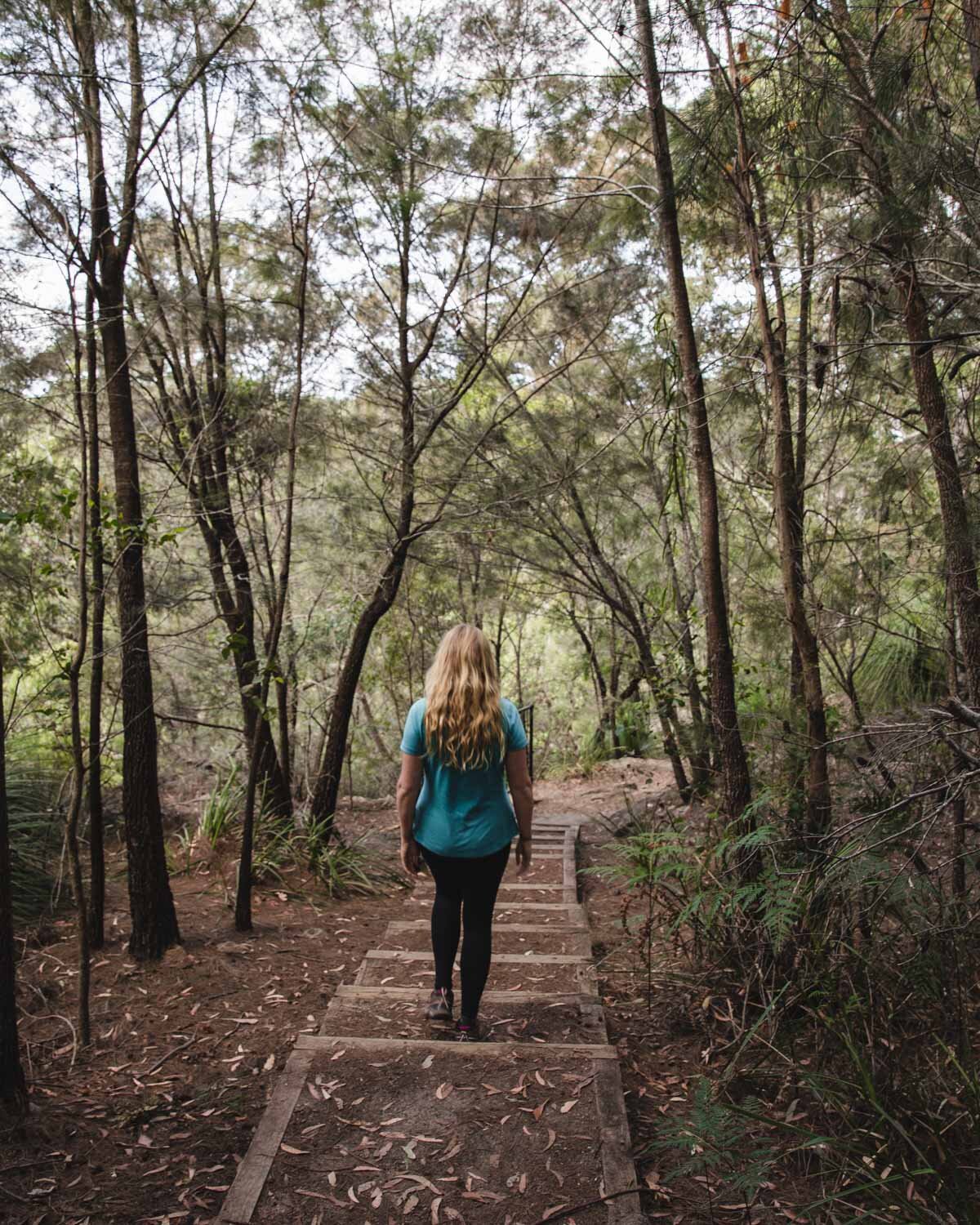
There are several different unmarked routes you can take and one is much easier than all the others. It’s a very short walk when you know the right way to go and only involves one small scramble. Then you’re down at the bottom and ready to go for a dip - definitely one of our favourite things to do in Wollongong!
Here’s how to get to the base of Kellys Falls.

The easiest route to the bottom of Kellys Falls
The stats
Distance: 640m return
Elevation: 48m
Difficulty: Moderate
A note on how to get there
Before you begin, realise that no path to the bottom of Kellys Falls is maintained, so just go carefully the whole way. Bring good shoes and take your time.
There are several routes to the bottom of the falls, so screenshot our instructions to ensure you go the easiest way. The first time we visited we took the Kelly Falls Track to the left of the signpost. This takes you to the lookouts at the top of the falls, before a long path into the bush.
It even had pink ribbons along the way, so we thought it had to be the right route, but it ended up being a bit of a disaster with slippery terrain and a big boulder field to negotiate!

If you see this, you’ve gone wrong
The correct route should only take 10-15 minutes and is only 320m from the car park, so if it takes much longer than this, you’ve gone wrong.
We would recommend turning around if you find yourself at the river and try again from the top - it’s better than trying to scramble over the huge boulders to the falls. We saw a couple of people who tried and it took them well over an hour to get anywhere close.

The easiest route to the bottom
From the car park you need to take the path to the right of the signpost (it’s called the Princess Marina Track on Google Maps).
The path on the right (Princess Marina Track) will take you straight into the bush, and down a few stairs before you’ll soon see a black fence.
At the end of the first section of fence there is a path to the left (there’s a gap before another black fence begins). It is about 60-70m from the car park, well worn down, and is obvious if you are looking for it.

Head down this path. It starts off as a dirt track, but after a short distance you have to climb over a couple of rocks before you reach a rope. The first rope will help you down a rough path made up of tree roots. This is easy and nothing to worry about. There are footholds and no exposure.

The first rope
Then you will see the second rope at the top of a steep drop off.
If you follow this rope all the way down, it will take you down a rock face which has a big drop that you almost have to do a mini abseil on.

The steep rock to avoid

The harder route
If you don’t like the look of that, which I didn’t, take the path to the right. The path leads round the corner, and on to another (non scary) rope.
There is one short ledge that is under an overhang where you sort of have to scoot along on your bum and then you reach the easy rope route. Take your time and be careful, as there is a drop at this point, if you go on your bum it feels very secure.

The narrow ledge

The ledge - be careful at this section
This rope is much easier to get down because it has so many foot holds and no big drops. It can get a little muddy, but other than that it’s quite easy. It’s basically four steps and you’re down. I think the photo actually makes it look harder than it is.

After this head left towards the sound of the falls. It’s a normal dirt path from here with the odd rock and tree root to climb over, and one tree down over the track, but nothing more challenging than your average bushwalk.

The whole route from the car park to the base of the falls is just 320m and only takes around 10 minutes when you know where you’re going.

Swimming at Kellys Falls
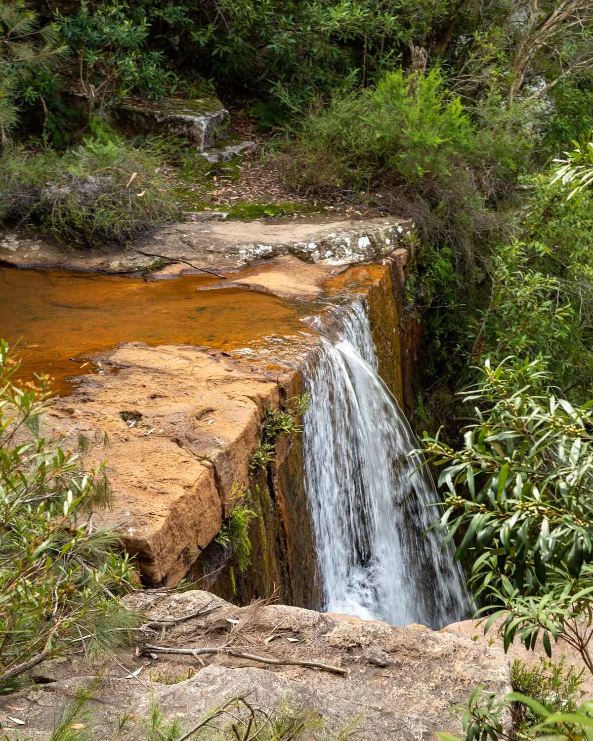
The pool at the bottom of the falls is deep enough for a proper swim. It’s easy to get into the pool, you just need to walk over one flat rocky ledge in the water and then it’s deep from there. The water doesn’t get much sun so it is quite cold unless it’s a hot day, but very invigorating!

It’s a pretty spot and definitely worth the short walk down.
The only other thing to note is that after a long period of rain the water loses its green colour and becomes quite brown. It’s still fine to swim in but less attractive!


Seeing the top of the falls
If you fancy seeing the top of the falls up close, there’s a 100m path right to it! It’s very close to the trail to the bottom of the falls - simply make a u-turn round the black fence on the Princess Marina Trail. You’ll see a less beaten down path, but it’s fairly flat and easy. After a minute or two you’ll be at the very top of the falls.
There is a pretty cascade and it’s worth taking a look. Then retrace your steps back to the fence again to take the route down to the bottom or head back up to the car park if you’re visiting on the way back from the base.


The other walk at Kellys Falls - the Kellys Falls Track
If that all seems a little too adventurous, then you can stick to the lookouts on the Kellys Falls Track.
The main walk at Kellys Falls follows the path to the left of the signpost in the car park. It takes you to a lookout which has lovely forest views and you can see the pool at the bottom of the falls but not the waterfall itself.

Carrying on further along the well maintained path, you’ll soon come to an opening in the bush which offers a partial view of Kellys Falls, it’s not a formal lookout so keep an eye out for it. It’s still from quite a distance (the photo below is taken with a zoom lens) but offers the best view without going to the bottom.
You can then continue walking for over a kilometre if you’re keen. While there are no more views, the bushland is really pretty and we saw several lyrebirds.

Just don’t follow any of the social trails down the hillside as they are slippery and lead to that boulder field we mentioned earlier.
Getting to Kellys Falls
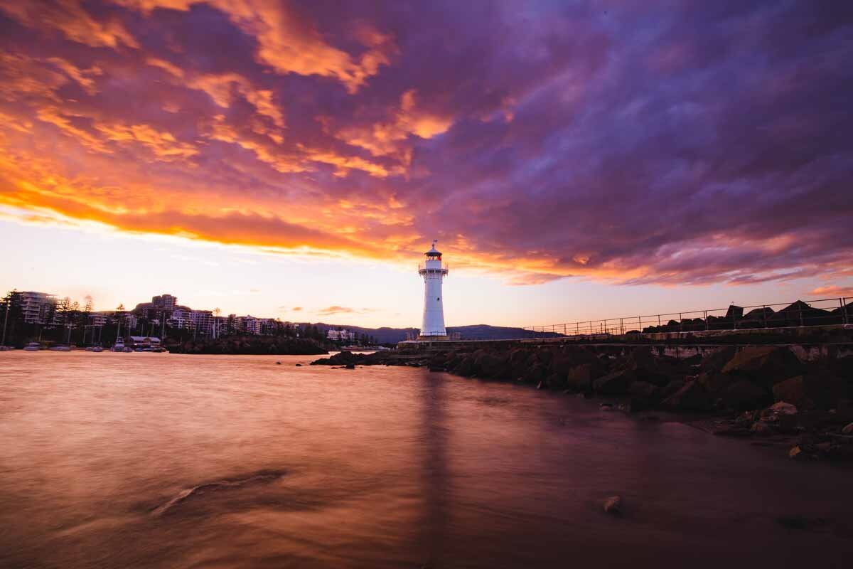
Kellys Falls are located in the Garawarra State Conservation Area, roughly 55km and a one hour drive from Sydney. They are 35km and roughly a 30 minute drive from Wollongong.
The last bit of road to the car park isn’t sealed, but is accessible for all cars. There are a few pot holes to watch out for, but the road is short.
The car park is free.
This post may contain affiliate links, meaning at no additional cost to you, that we will earn a small commission if you click through and decide to make a purchase. This helps towards the costs of running our website. Thanks for your support.