
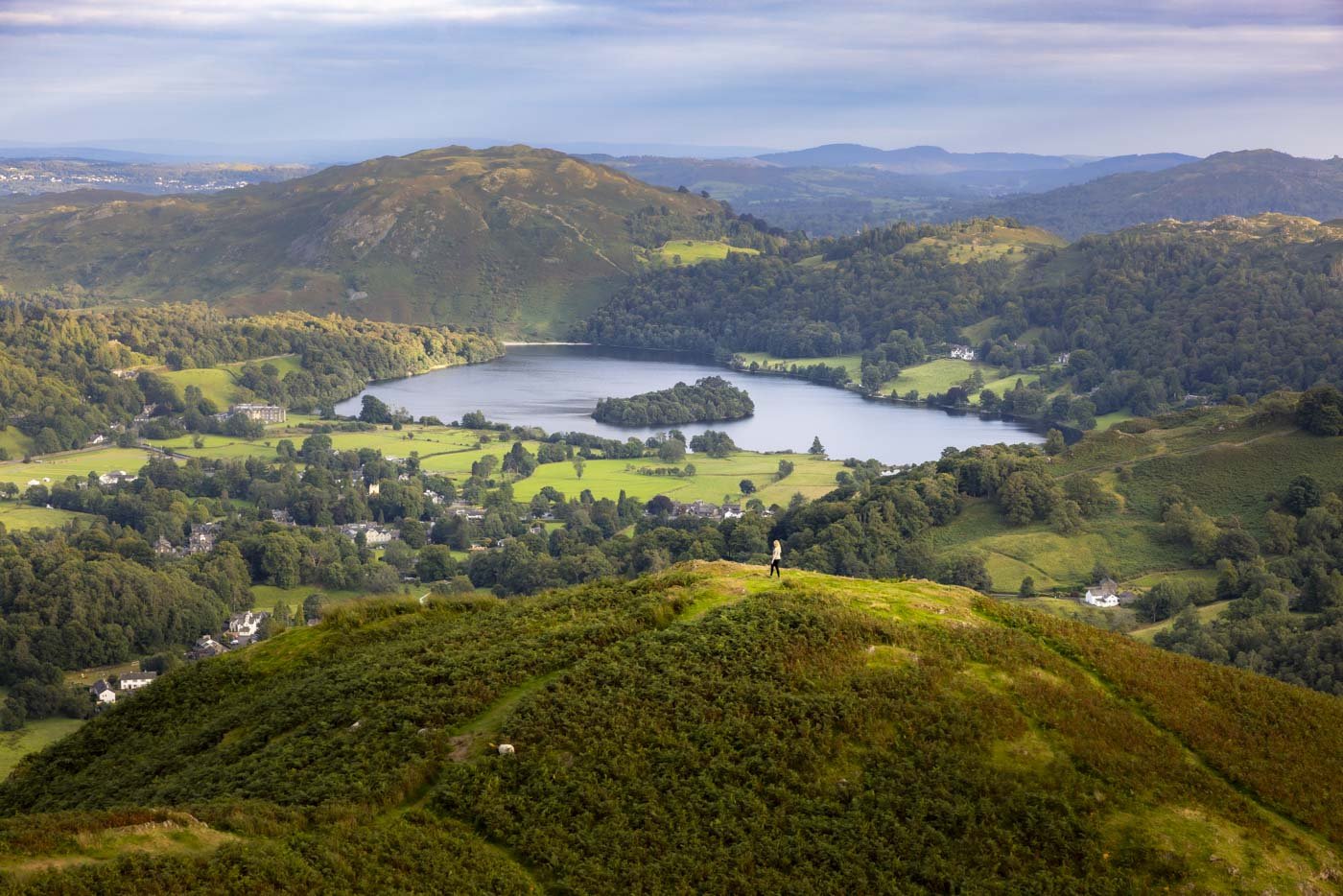
The Greenburn Round offers some of the most spectacular views in all of the Lake District. You feel so incredibly remote, surrounded by nothing but rugged fells, yet every now and again a view will open up and you can see the little village of Grasmere and you’re reminded that you’re actually walking distance to it!
The immense beauty of this walk really surprised me because it’s not well known and we only saw one other walker and this was on a Saturday in the August school holidays! If you’re looking to escape the crowds and really feel like you’re out in the wilds, this is the walk for you.
However, the trade off for those stunning views and lack of crowds is the significant elevation again (you’re bagging four Wainwrights after all!), and sometimes rugged terrain - although no scrambling is required.
Here’s what to expect from the trail.
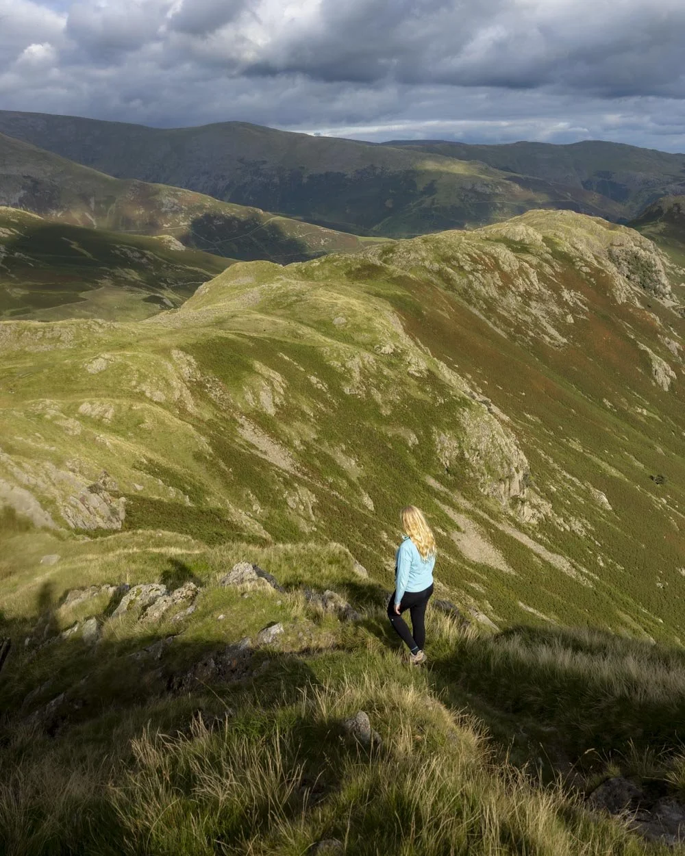
The Greenburn Round
The stats
Distance: 8 miles (12.8km) circuit
Elevation gain: 723m
Difficulty: Moderate
Trailhead: The Lancrigg, Grasmere
Summary: The Greenburn Round tackles four main hills (all of which are Wainwrights), Steel Fell, Calf Crag, Gibson Knott and Helm Crag which together amount to a fairly hefty elevation gain.
There is no scrambling required on any point along the trail but it’s rarely smooth underfoot. Many of the paths are rocky and there is one notable section which is very boggy - if you get through this with dry boots you’ve done very well!
None of the trail is slippery when dry, but some of the downhill sections can be a bit tiring if you don’t enjoy rocky descents (like me!).
There are some flat sections and plenty of places you can stop for a break along the way if needed and the views are always worth the climbs!
As this track is circular, you can do the walk in either direction, but we recommend going anti-clockwise, ending with a gentler descent from Helm Crag.
Starting the trail: reaching the footpath
When walking the trail in an anti-clockwise direction you will head for Steel Fell first. From the closest parking area at the Lancrigg Hotel, you head briefly up the gravel road and then turn right (left takes you to the Lancrigg). After 150m the path will flatten or head ever so gently downhill, enjoy this easy beginning because things get steep soon after!
At the 250m mark you’ll turn left and begin walking along the quiet country lane - Helm Close (we didn’t see a single car here and we were walking in August).
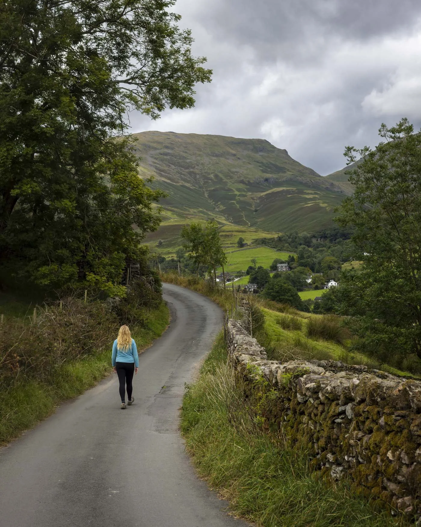
You’ll reach a T-junction at the 1km mark and turn left, still following the country lane.
Roughly 550m later (1.55km into the walk) you’ll make a slight left/straight depending on how you view it onto a private road (walkers are permitted).
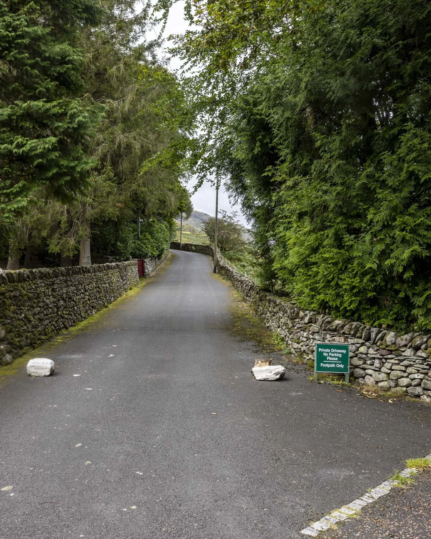
You’ll now start heading uphill and this first climb lasts for a long time - almost 2.5km to the top of Steel Fell!
After 300m on the private road (1.85km into the walk) you’ll reach the end of the paved road and then make a hard right up the narrow grassy path, which later becomes a stony gravel track.
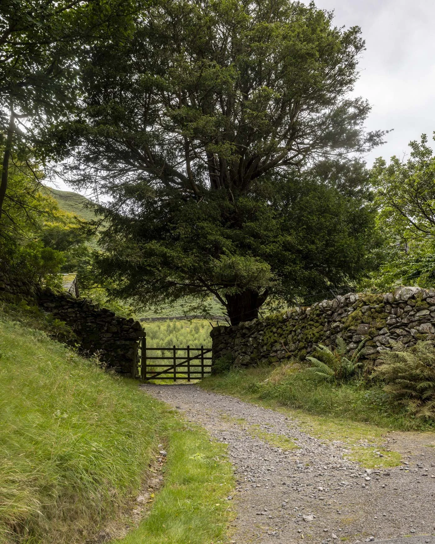
The climb steepens and reaching the top of Steel Fell
You’re now away from the roads and will start climbing on a grassy track, passing through two gates with little reprieve in the steep gradient until you’re almost at the trig!
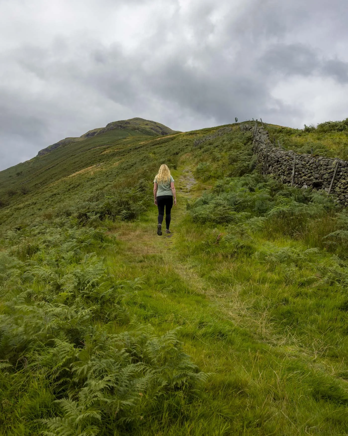
There are some sections with footholds worn into the grass and a few rocky patches, but as an ascent route it’s not slippery or precarious in any way.
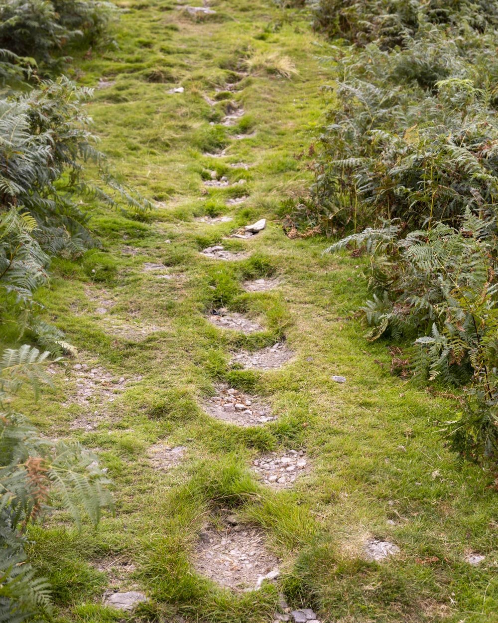
At the 2.95km mark there’s a false summit and I remember being disappointed that at this point you could still hear the road.
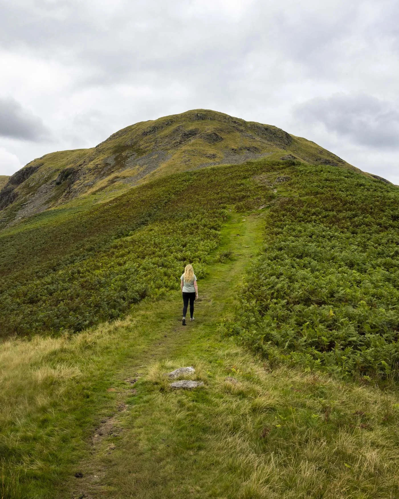
However, it’s not long before that melts away and you feel truly immersed in nature. There’s a second false summit at the 3.3km mark and a short rubbly section (not slippery) a few hundred metres later.
At the 3.8km mark the gradient becomes so gentle as to almost be flat for the remaining 200m to the trig point (4km from the start of the walk).
Though there is much elevation gain to come, the hardest climb is now behind you.
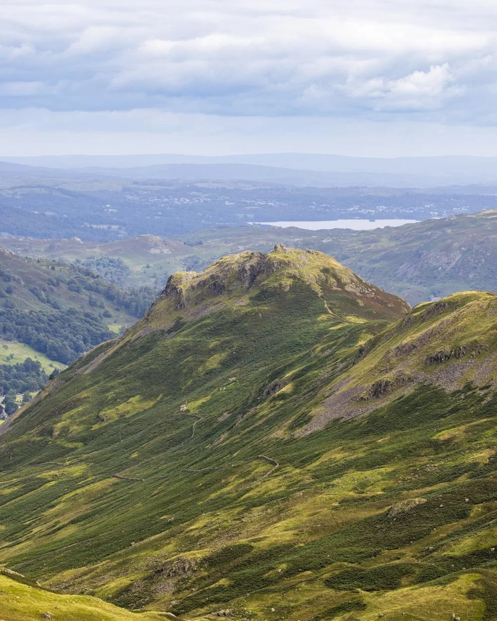
You are rewarded with a view of endless peaks and ridgelines and the glimmer of three lakes in the distance. It’s a worthy prize but the best bit of the walk is only just beginning.
Traversing the fells and climbing Calf Crag
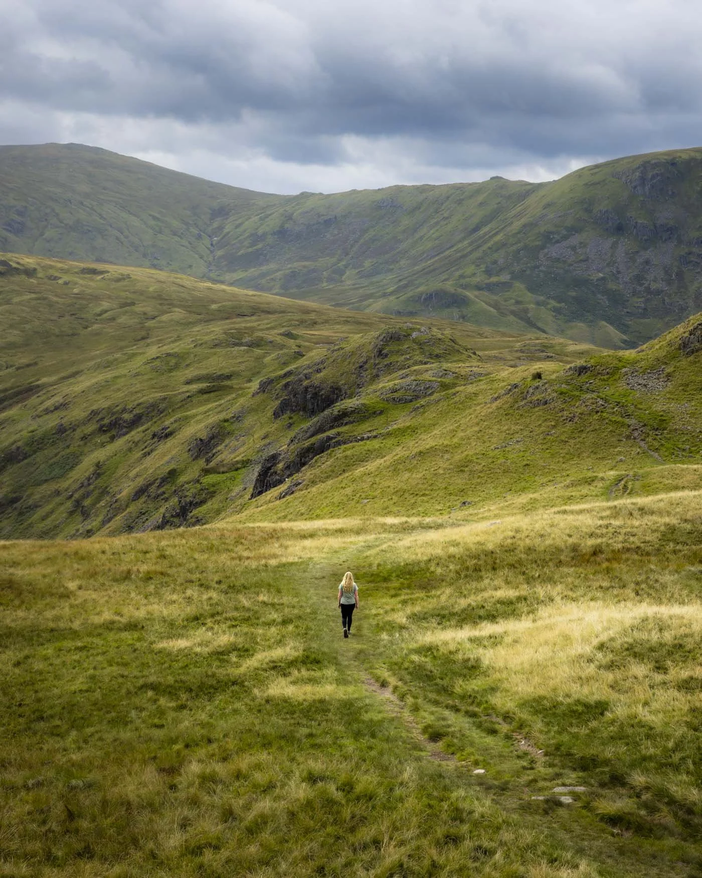
This next section is seriously beautiful, with dramatic views far beyond any expectations we’d had for the walk.
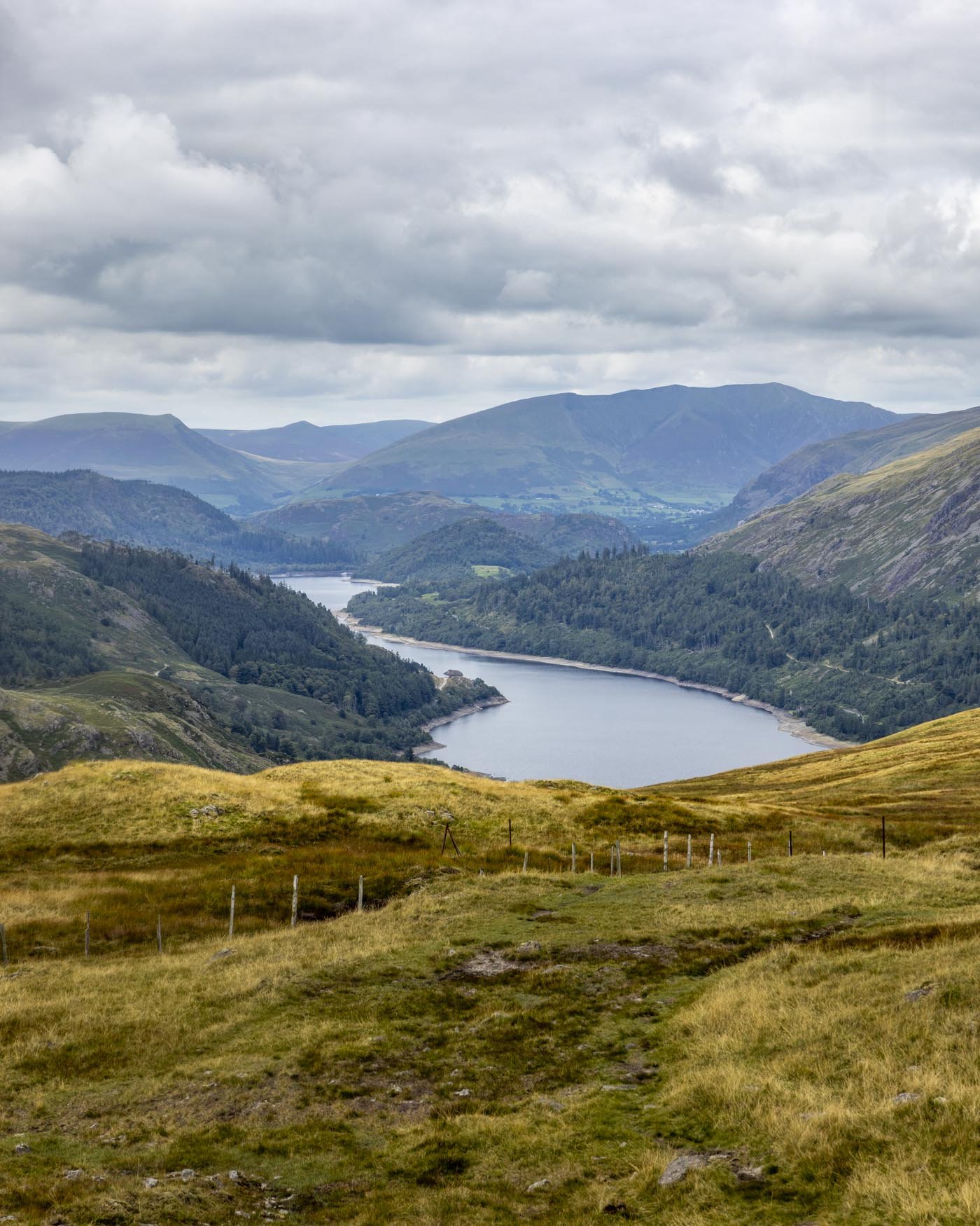
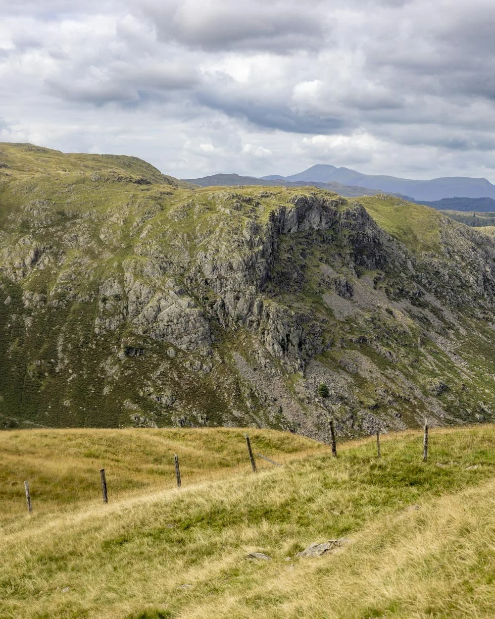
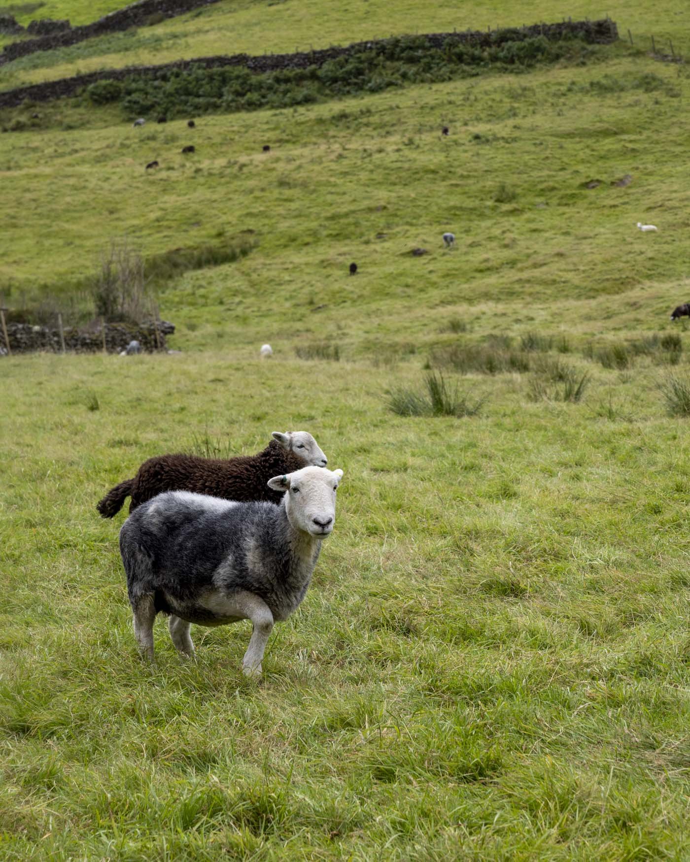
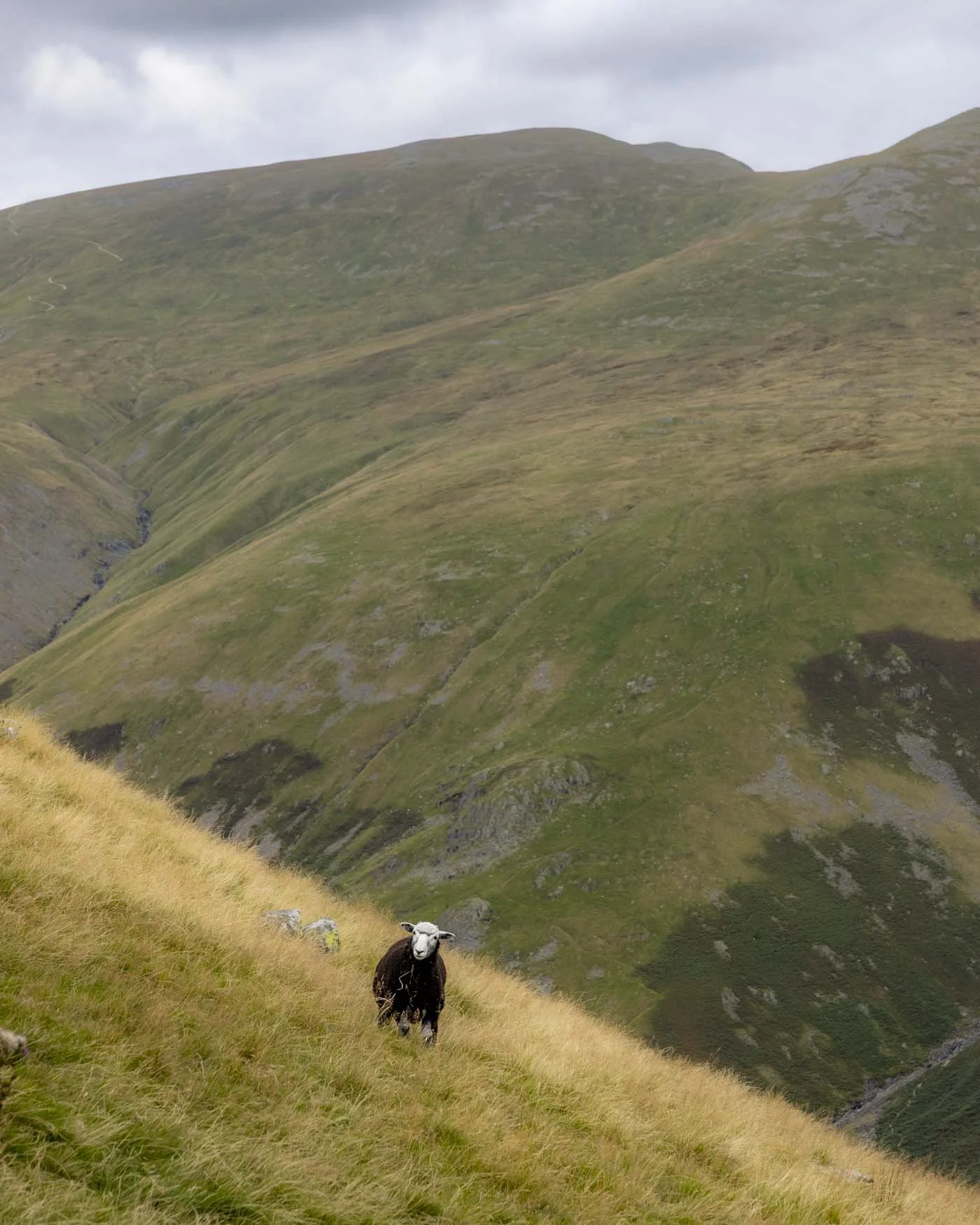
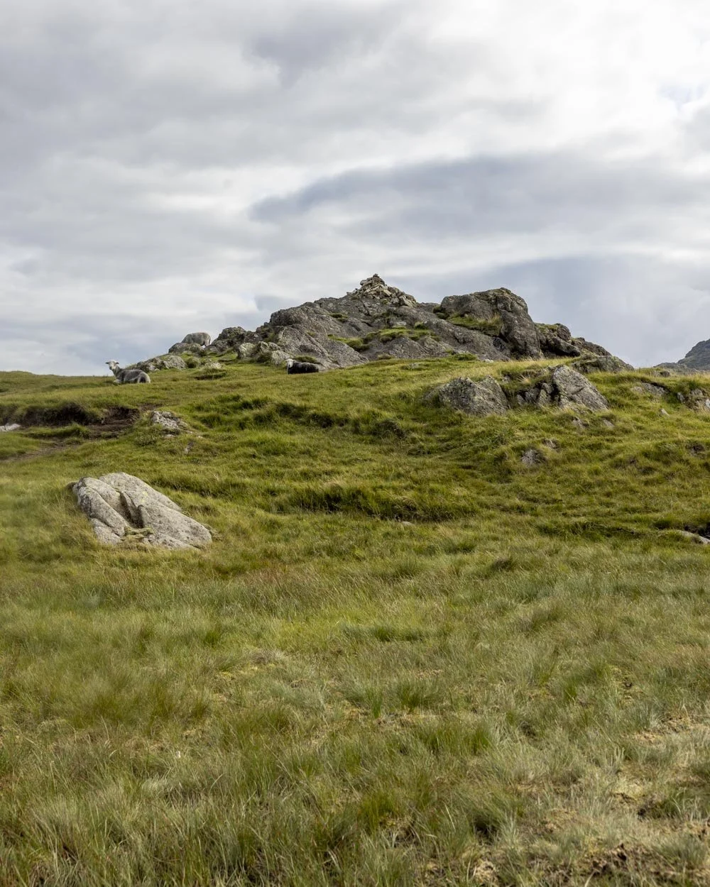
You’ll likely be joined by a herdy or two and their frequent tracks can be mistaken for the walking trail at times. Keep high at first and you’ll see a gravel path leading downhill 60m later.
Next you’ll either be descending or walking along flat tracks and it’s rarely steep.
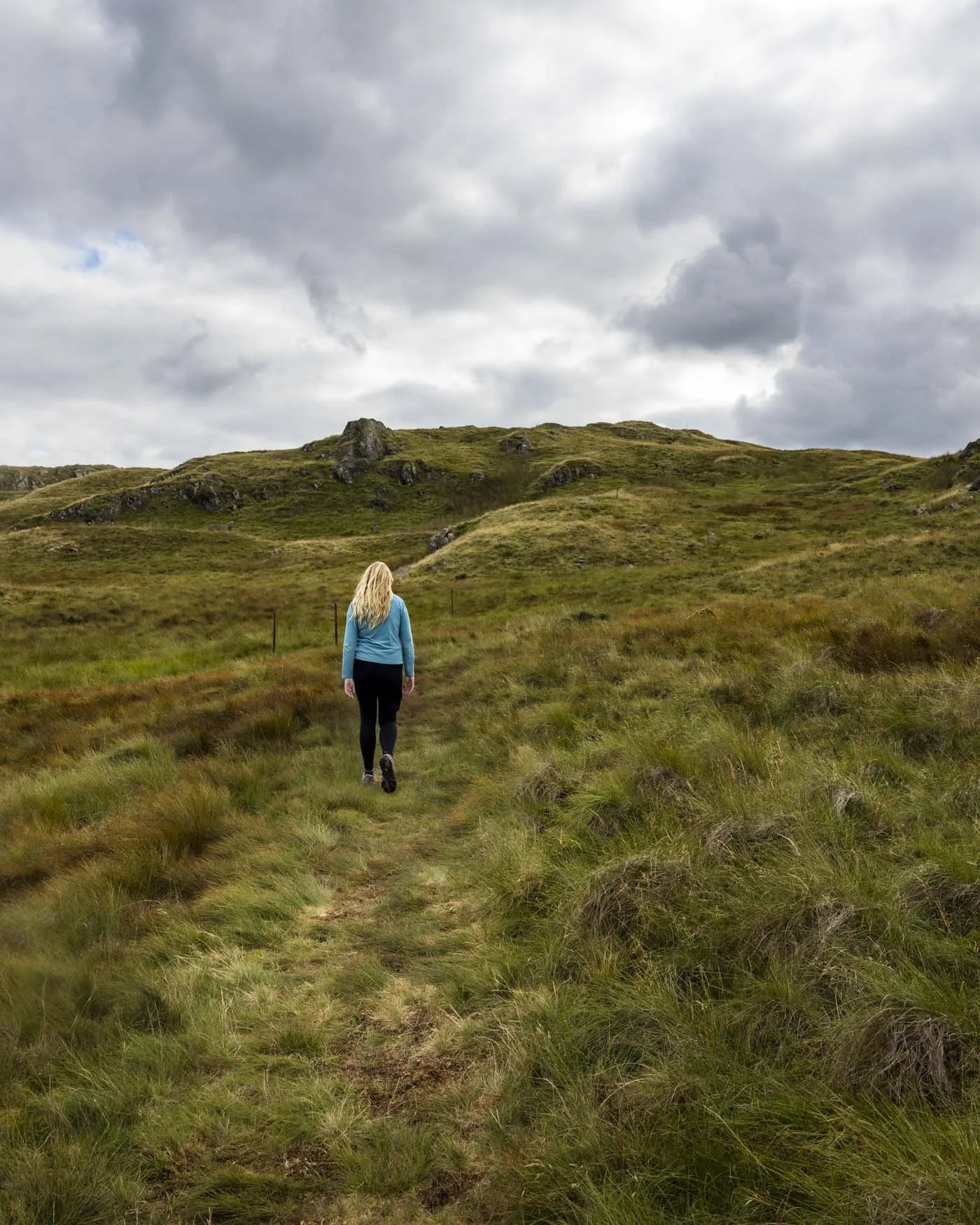
Roughly 500m from the trig you’ll reach your first boggy patch. This one was not too bad and can probably be avoided with careful route finding.
However, don’t be too worried if you mis-step and sink a bit because there is some inevitable bog coming up later!
The descent ends at the 4.7km mark and then there are some mini undulations before a 100m climb (total distance not vertical distance) to the top of a small knob which you’ll reach at the 5.1km mark.
You can see two little tarns and you really feel like you’re deep in the fells now.
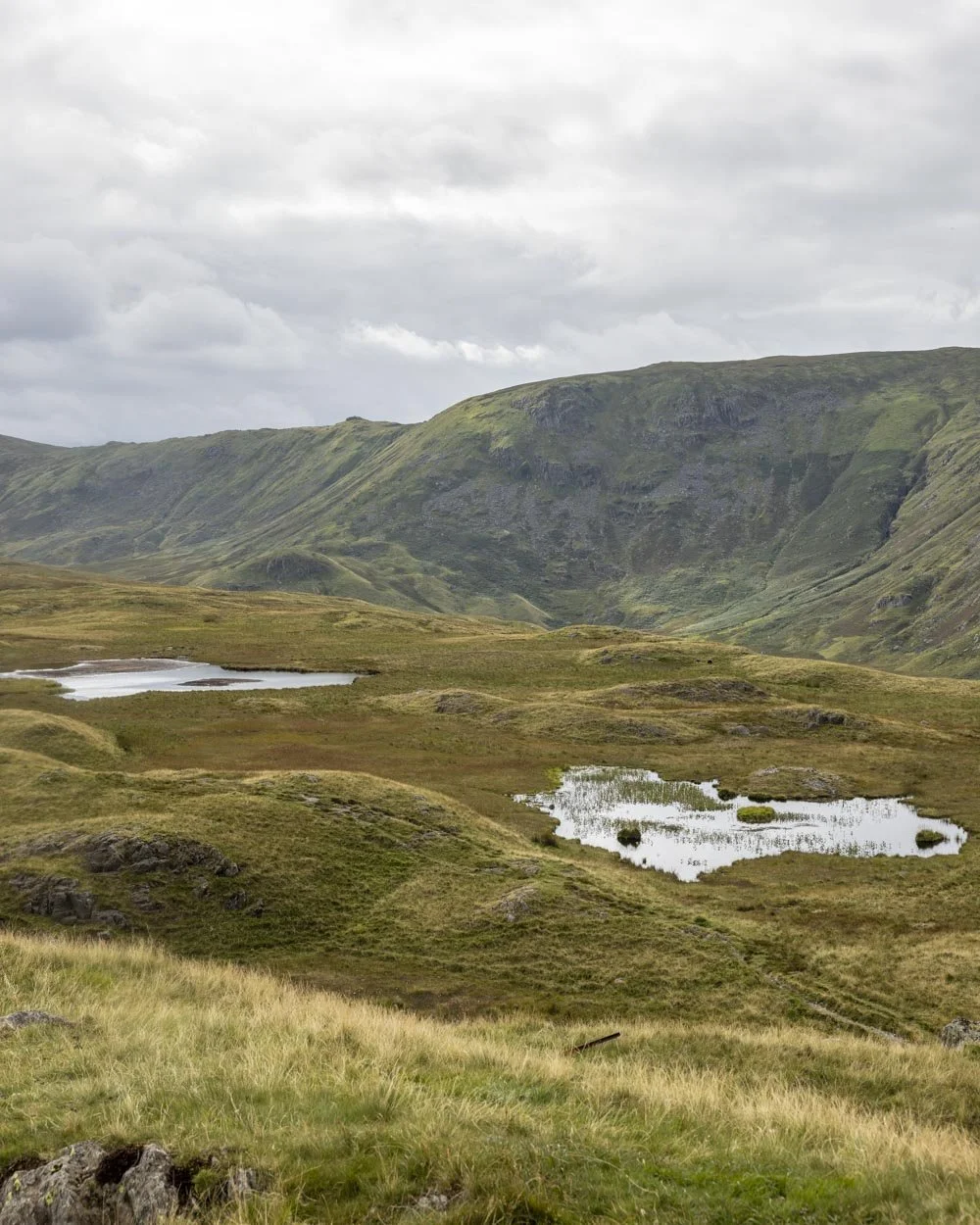
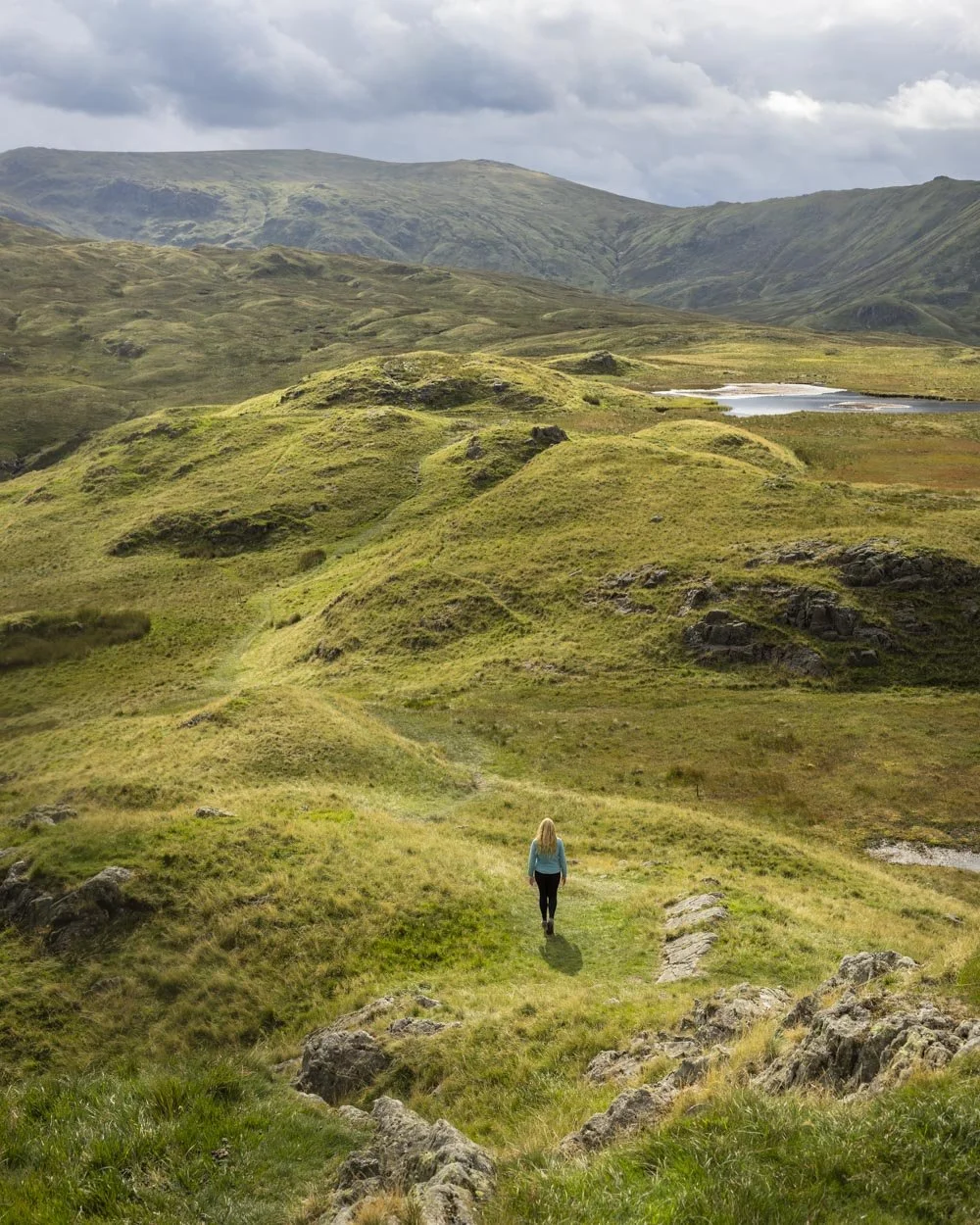
Roughly 200m further on or 5.3km into the walk, you’ll reach some spongy ground verging on bog as you pass a small tarn.
A few hundred metres later, the path becomes indistinct and we opted to follow the poles. We never did work out if they were trail markers or old bits of fence, but either way they seemed to take us back onto an obvious track, albeit over some soft ground.
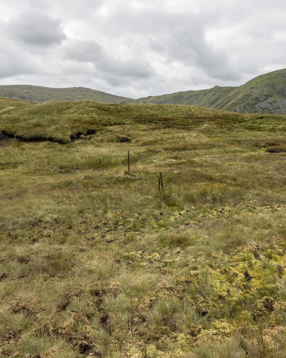
You then have a small hump to climb before you face the biggest obstacle of the track if you’re not a fan of wet boots.
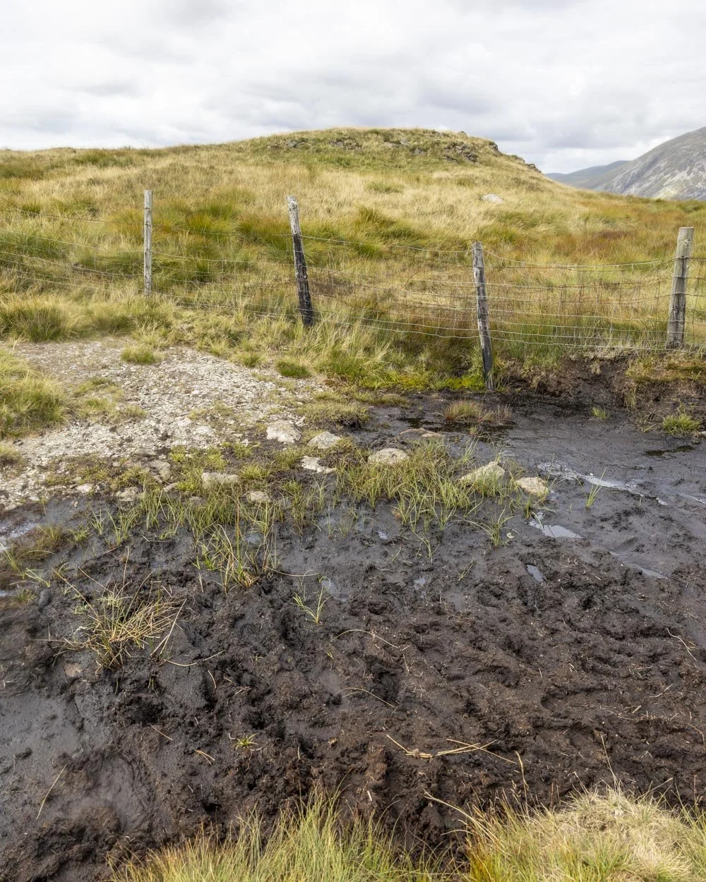
This is the bog of doom, 3.9 miles (6.3km) into the track. We tried rock hopping left and right to no avail. A few steps in the bog itself was inevitable and I can only imagine it’s much worse in winter!
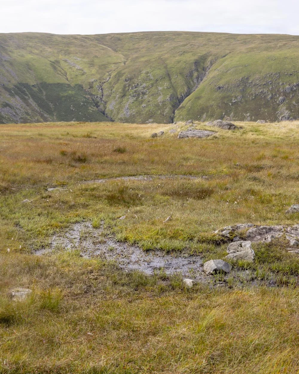
We were lucky that it wasn’t too deep and we had a warm day, so we can’t complain too much, but wanted to give fair warning if you’re walking in the cooler months!
Just past the bog you will begin climbing Calf Crag and reach the top 450m later, or 4.25 miles (6.85km) into the walk. The climb is not too steep and over very quickly.
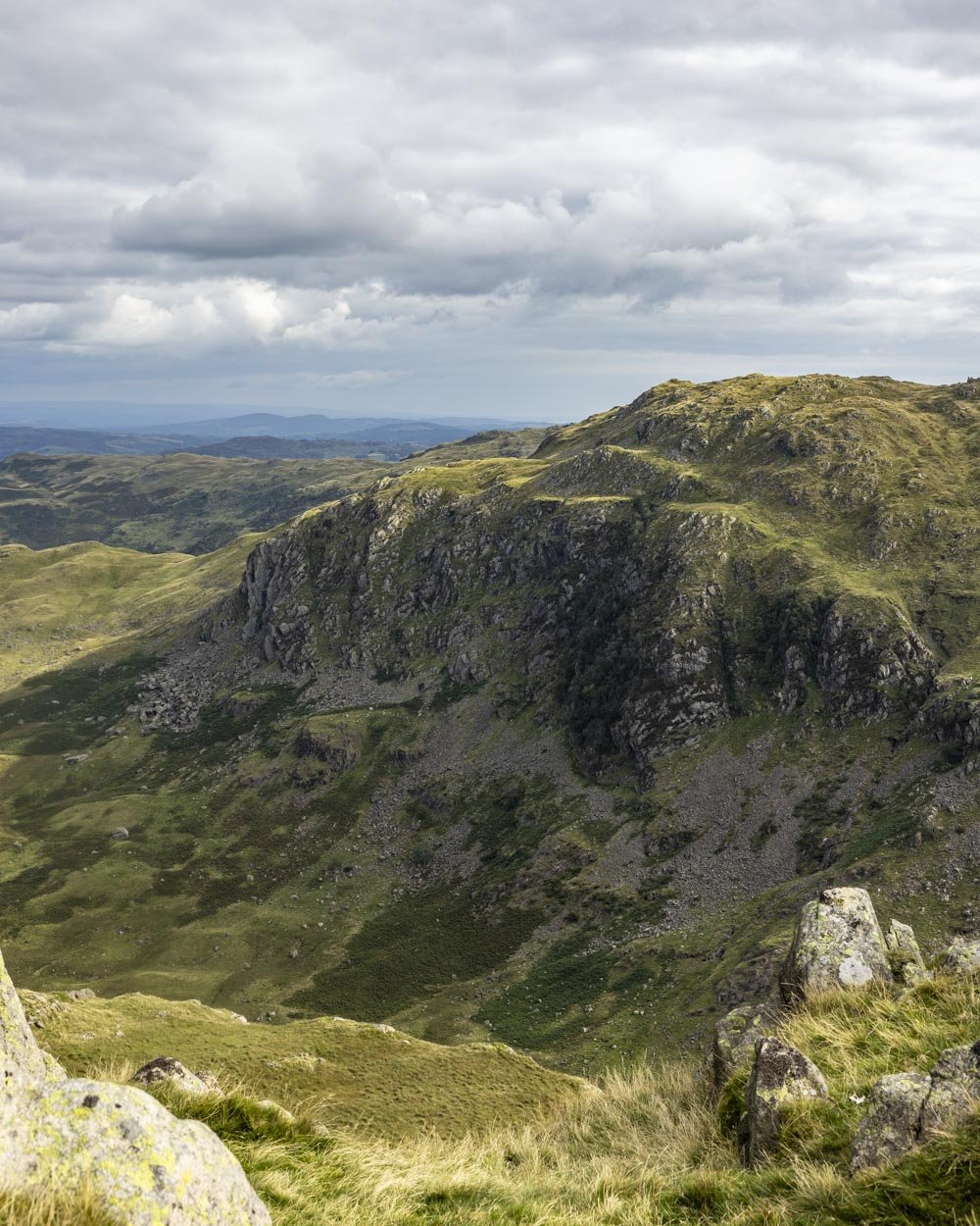
Descending towards the foot of Helm Crag
Bear left from the top of Calf Crag and you’ll pick up the rocky track heading briefly downhill.
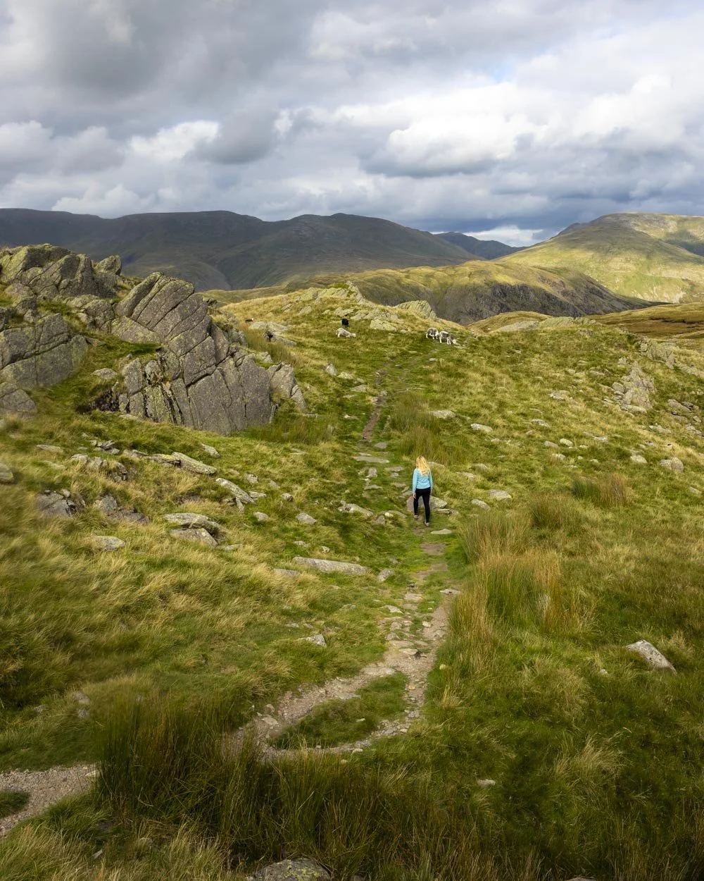
Much of the descent from Calf Crag is rocky, but not too much of it is the small stones that I always find so slippery. Still, you do need to watch your footing which makes it feel more tiring.
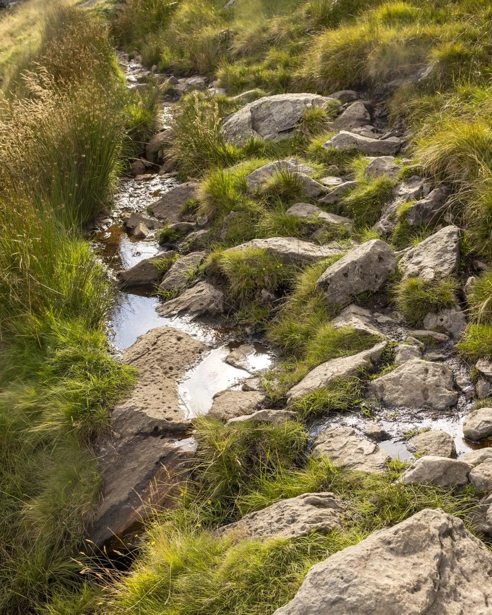
As you continue descending there are especially good views over the hills and Grasmere Lake, though all the views from the trig onwards are pretty special.
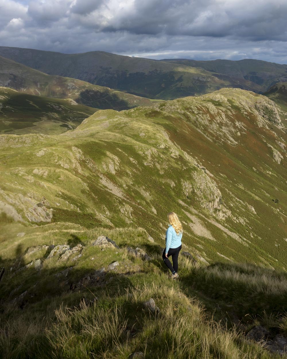
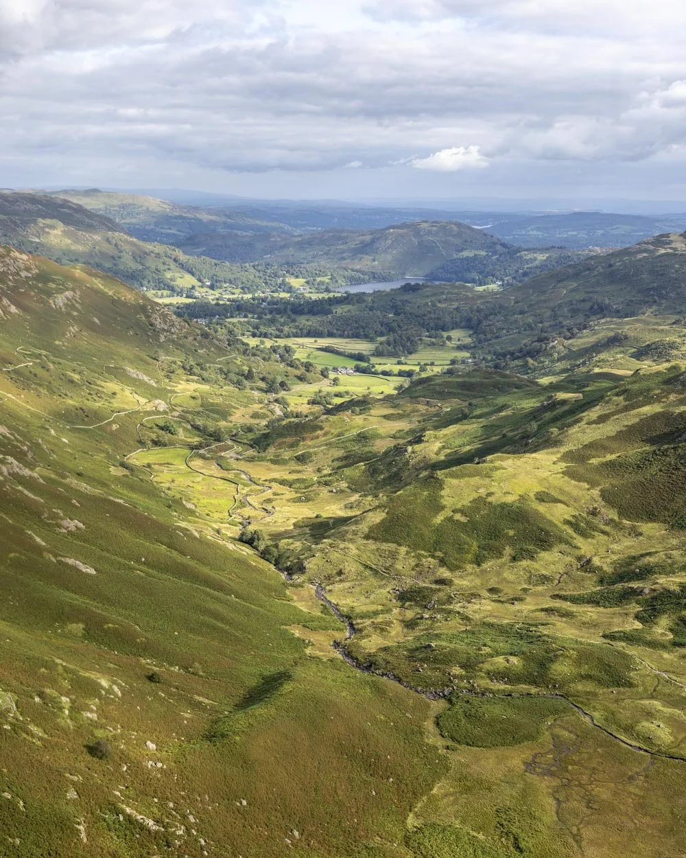
The path flattens at the 8.3km mark and becomes narrow as it traverses the edge of the hill. A short descent follows before you need to climb two mercifully small humps, the second of which is Gibson Knott.
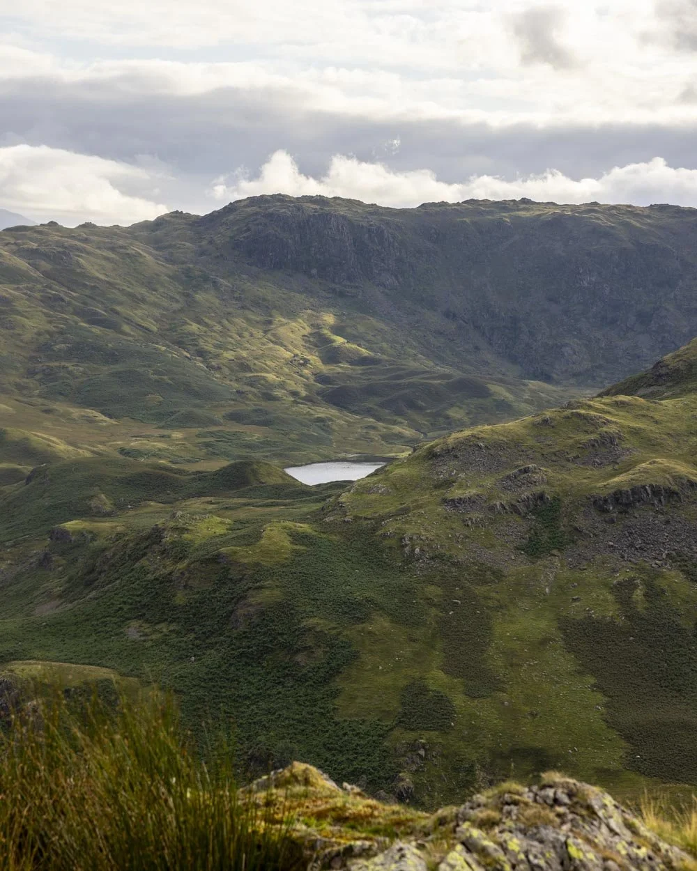
At the 5.7 mile mark (9.2km) there is a tiny rocky section, but this can be bypassed on the left if preferred. The track then undulates before heading downhill with a direct view to Helm Crag.
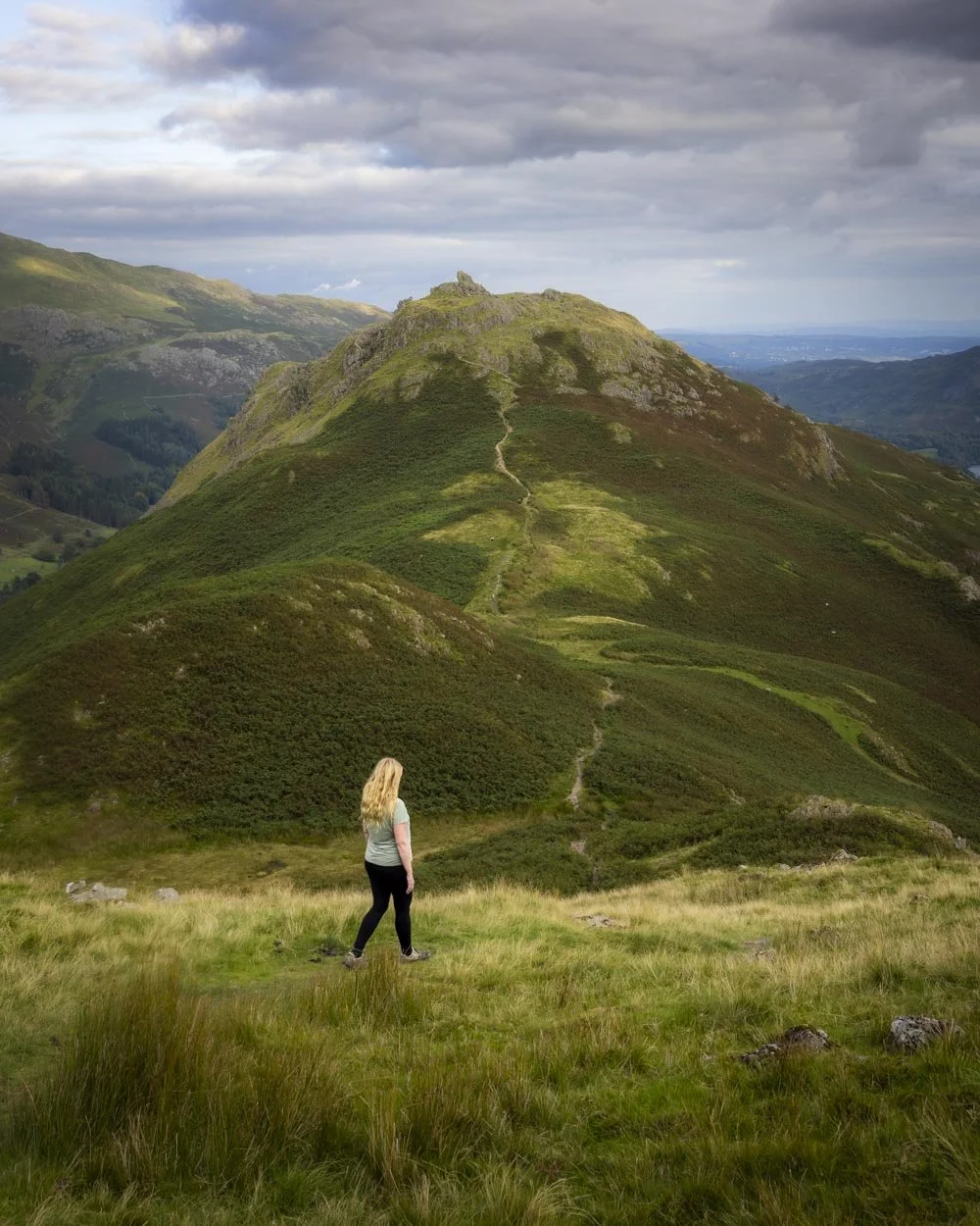
Climbing Helm Crag
At this point, 6.2 miles (10.05km) into the walk, you have two choices: bear right on the path heading downhill into the valley, or climb the small peak of Helm Crag.
We’ve climbed Helm Crag before, but never from this angle so though I admit I was tired at this point, we couldn’t resist climbing the crag. It turned out to be very minimal extra effort so I’d definitely recommend it if you have time.
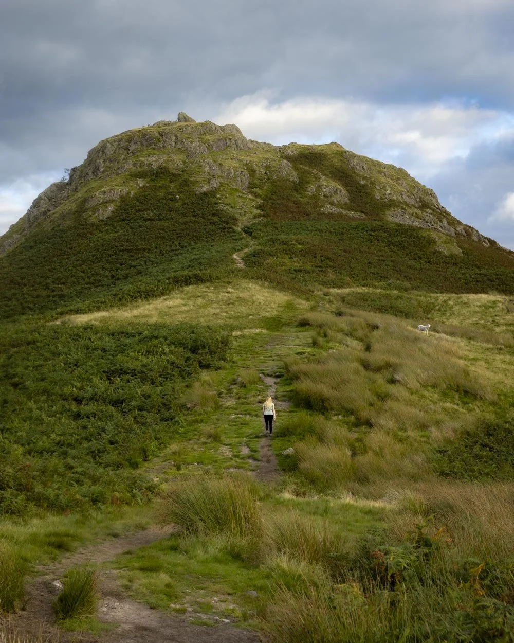
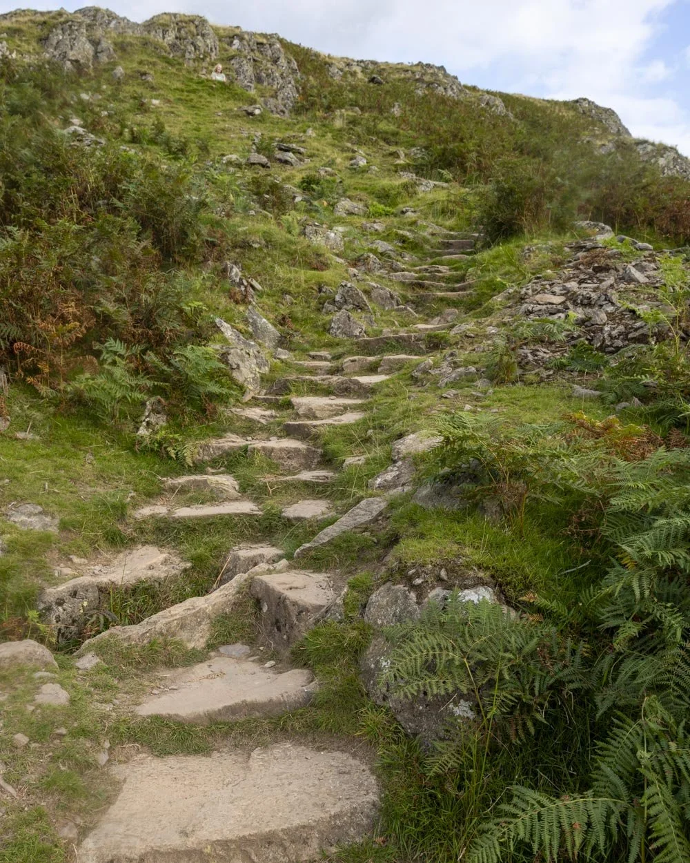
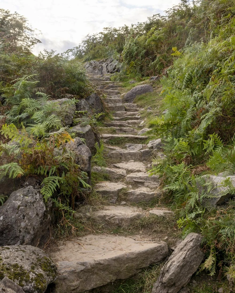
The path up is on a mix of dirt track and stairs and only lasts for 400m. The good track conditions mean you can make quick work of the climb.
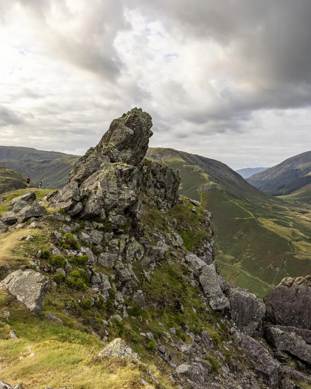
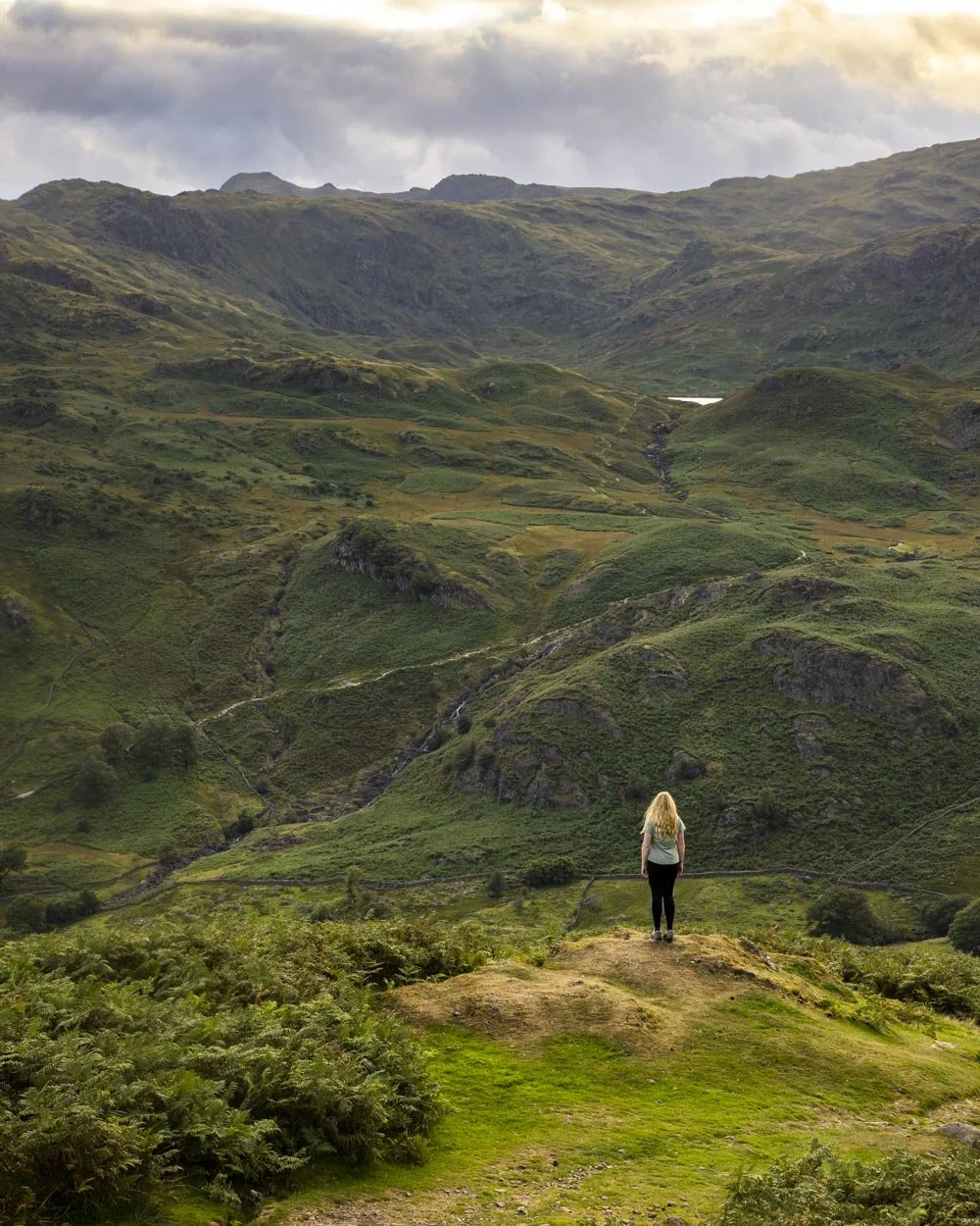
I was then reminded why Helm Crag offers one of the best effort vs reward ratios in the Lake District. It might be small, but the views are lofty and easily some of my favourites in the area.
You’ll reach the top of Helm Crag at the 10.5km mark and then have a small 100m traverse before you begin descending.
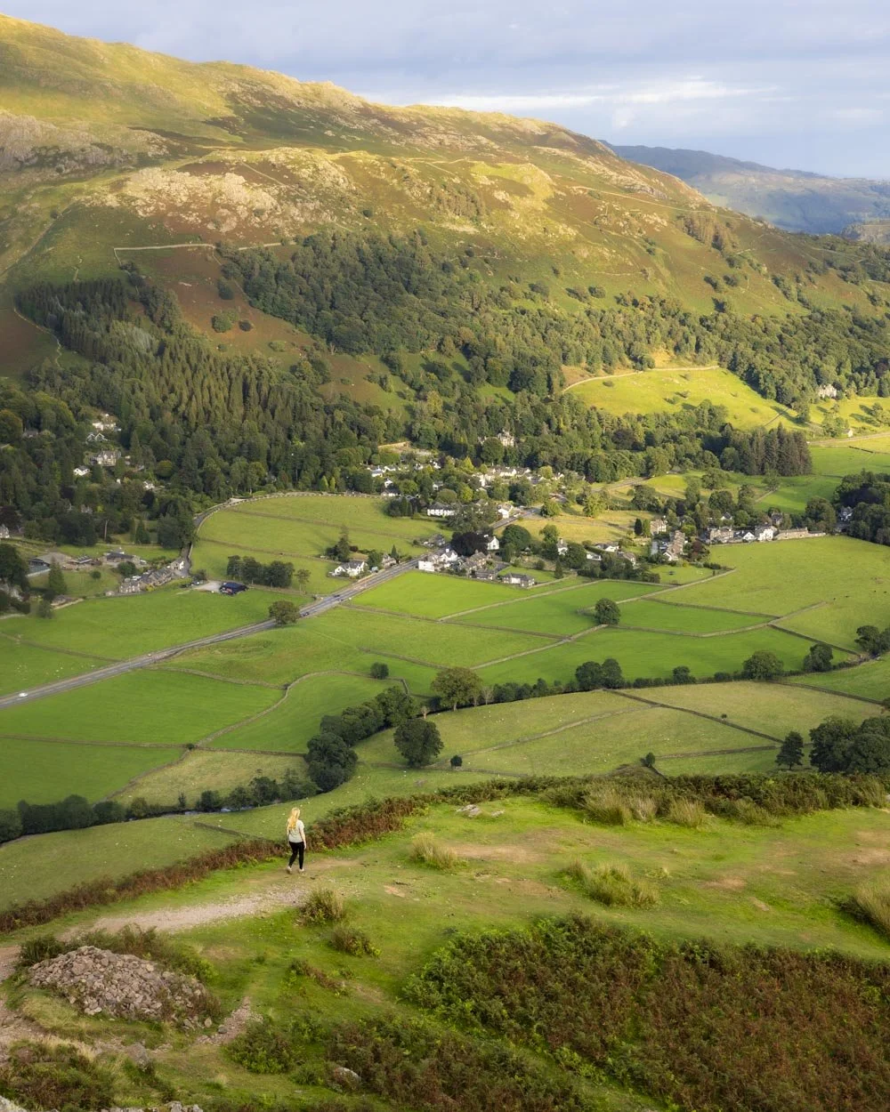
There is a notable rocky patch early on in the descent, but after that the path is more well formed.
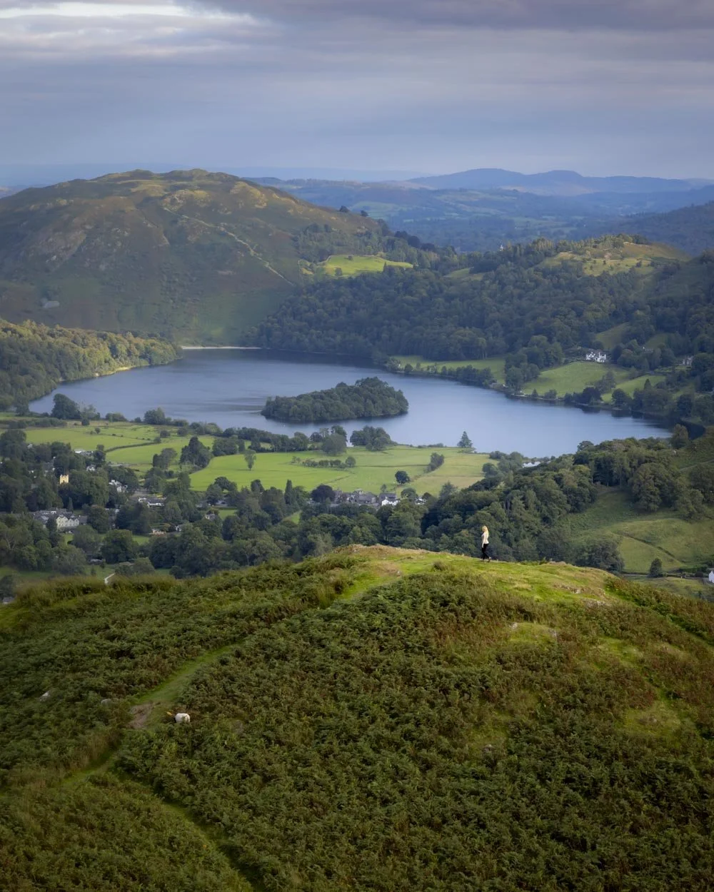
The grassy knoll at the 10.9km mark is worth the couple of minutes detour to reach for a closer view of the lake with its little island that looks like something from a fairytale.
After the knoll, the descent continues on gravel switchbacks before turning into cobblestones and then little stones. If wet this section could be quite slippery.
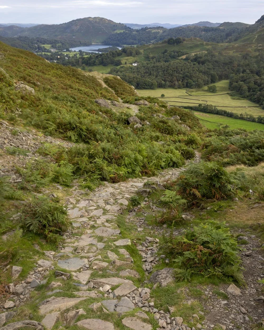
There’s a minor rocky gully and one more short rocky section before you begin following the dry stone wall and the trail levels out shortly after.
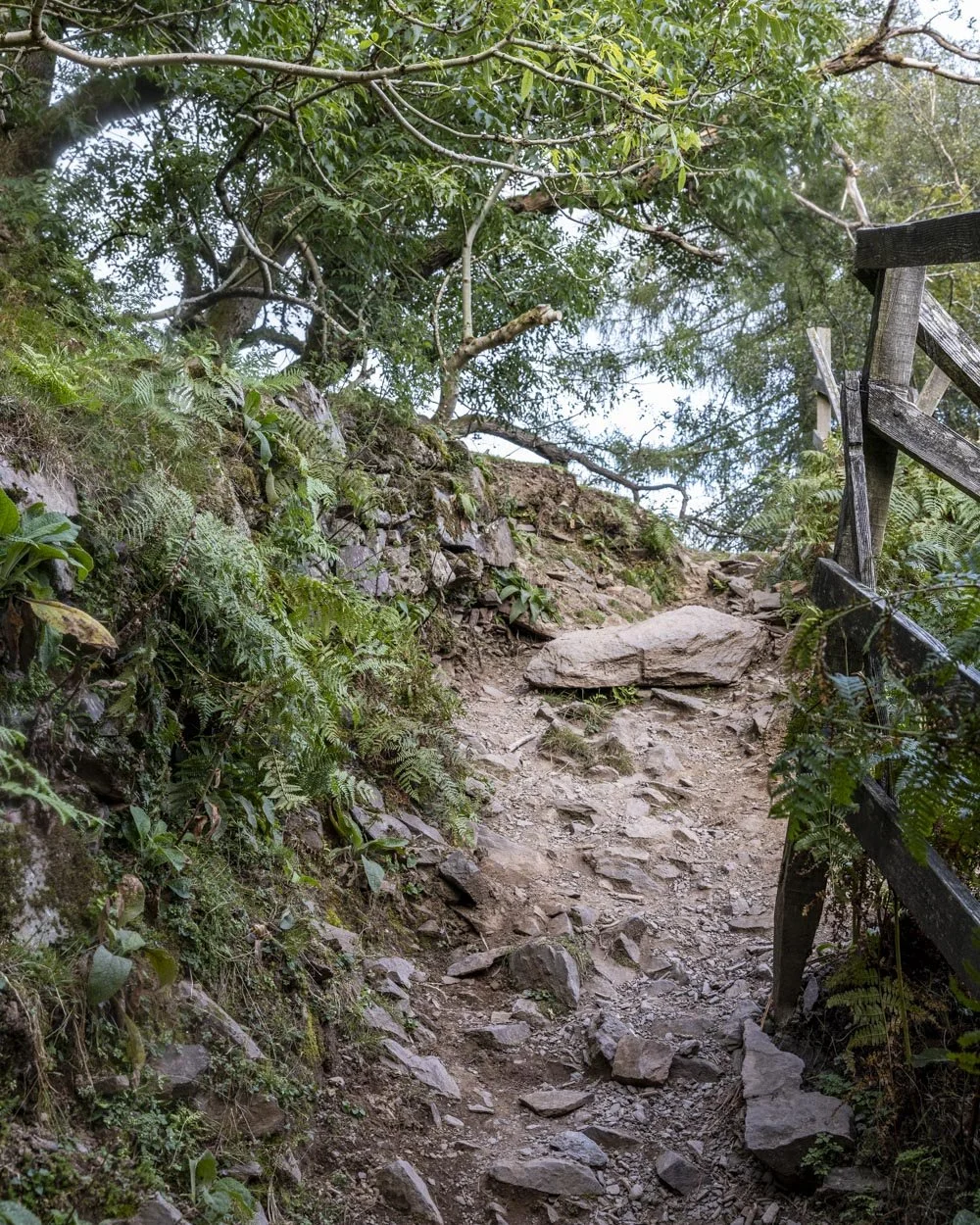
However there is one last, albeit short, uphill section before the path flattens and heads through the woods and back to the Lancrigg Hotel.
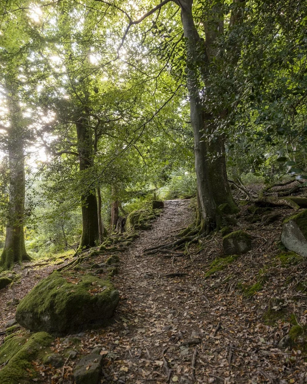
You’ll reach the car park 150m after passing the hotel making the total walk just under 12.8km (8 miles).
Getting to the Greenburn Round trailhead
By car and parking info
The most convenient car park for the walk - at The Lancrigg Hotel - does come with a fee. It’s £6 for all day parking. However, it’s redeemable when purchasing from their cafe.
If you don’t want to pay for parking, you need to start further down Easedale Road. Much of the road does not allow parking and the bits that do fill up early. Opting for free parking will add on about 1 mile (ish) to your walk.
By public transport
The best way to get to the trailhead for the Greenburn Round if you’re coming from Ambleside or Windermere is to hop on the 599 or 555 bus. This will take 30 minutes from Ambleside and just under an hour from Windermere.
You can get the 555 from Keswick to Grasmere, which departs from Booths and takes about 45 minutes.
All buses will drop you in the centre of Grasmere, meaning you’ll have to add another 0.8 miles (about 20 minutes) onto your walk.
This post may contain affiliate links, meaning at no additional cost to you, that we will earn a small commission if you click through and decide to make a purchase. This helps towards the costs of running our website. Thanks for your support.
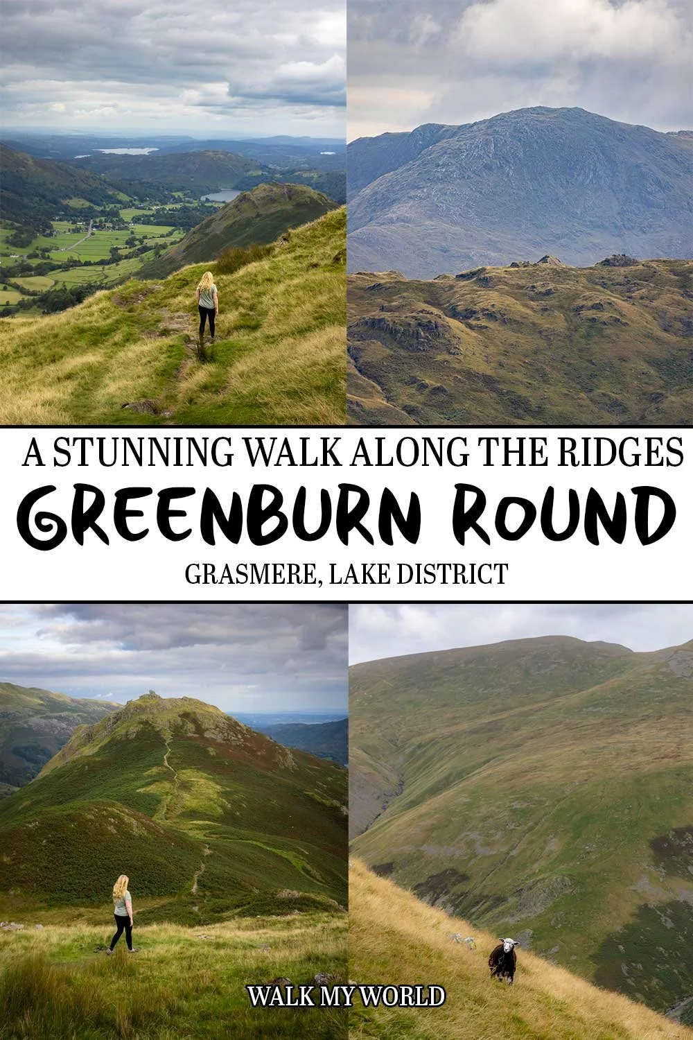


The Greenburn Round offers some of the most spectacular views in all of the Lake District and you’re unlikely to share them with anyone else, even in the summer holidays! We’re sharing everything you need to know about the walk including difficulty and trail conditions.