
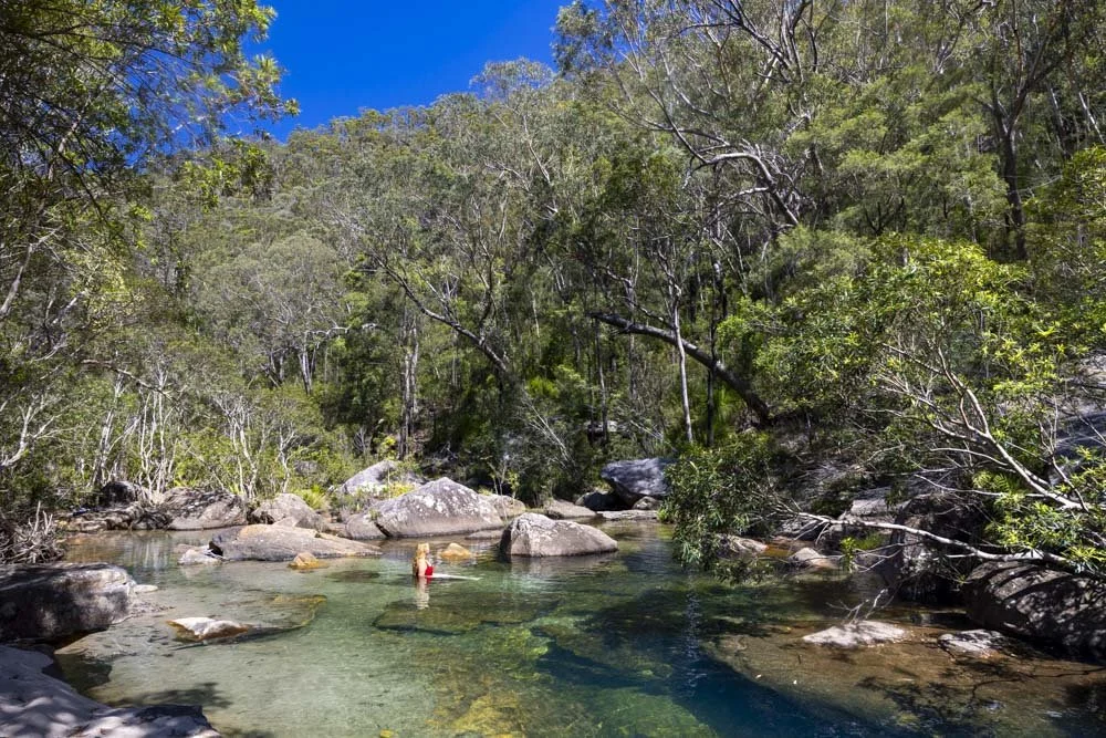
We’ve spent a lot of time walking in the Lower Blue Mountains in the last few years and I can confidently say this is one of our favourite tracks in the whole region, especially after rainfall, when the waterfalls are at their best.
There are numerous stunning swimming holes, a hidden cave, picturesque viewpoint and a high chance of spotting lyrebirds scratching around in the undergrowth.
But there’s a small catch: the track includes a sizeable hill when exiting the gorge and a little bit of road walking at the end. Having said that, the road is flat, bushy and actually very pleasant, so I’m not sure I should even count that as a downside.
In short, if you’re up for a bit of a steep walk at the end of the trail then you should definitely be adding this track to your Lower Mountains wish list.
Sharks Head Cave Circuit
The stats
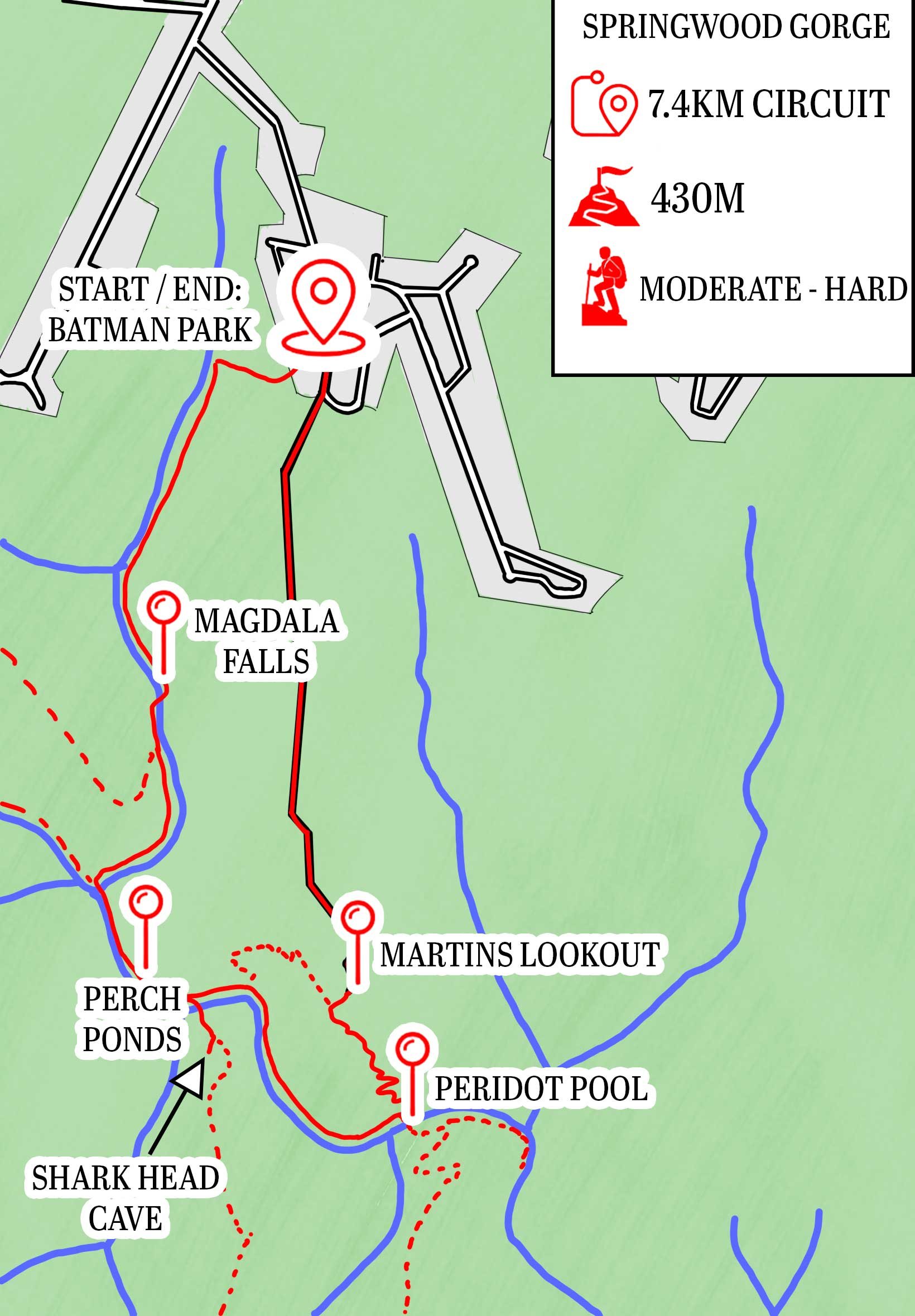
Distance: 7.4km circuit
Elevation gain: 430m
Difficulty: Moderate
Trailhead: Batman Park, Springwood
Summary: As mentioned in the intro, the end of this walk involves a steep hill to climb when exiting the gorge, but this is made easier by the excellent track conditions.
There is also a fair amount of descending at various points along the track and this is generally on rougher paths, they aren’t scrambly, but the terrain is very uneven and requires a bit of care with footing.
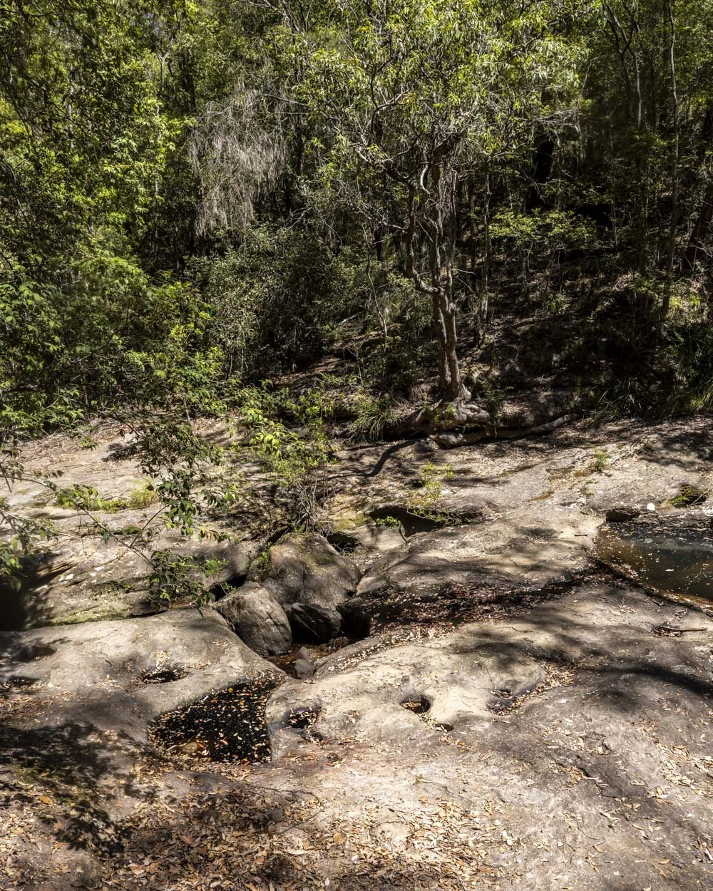
Visiting the bottom of Magdala Falls (a great swimming hole) involves rock hopping for a short distance along a creek bed, though this is an optional detour.
Reaching the hidden cave, also an optional detour, involves a steep and sometimes slippery descent and ascent along an unmaintained track.
Starting the trail: along the Batman Track
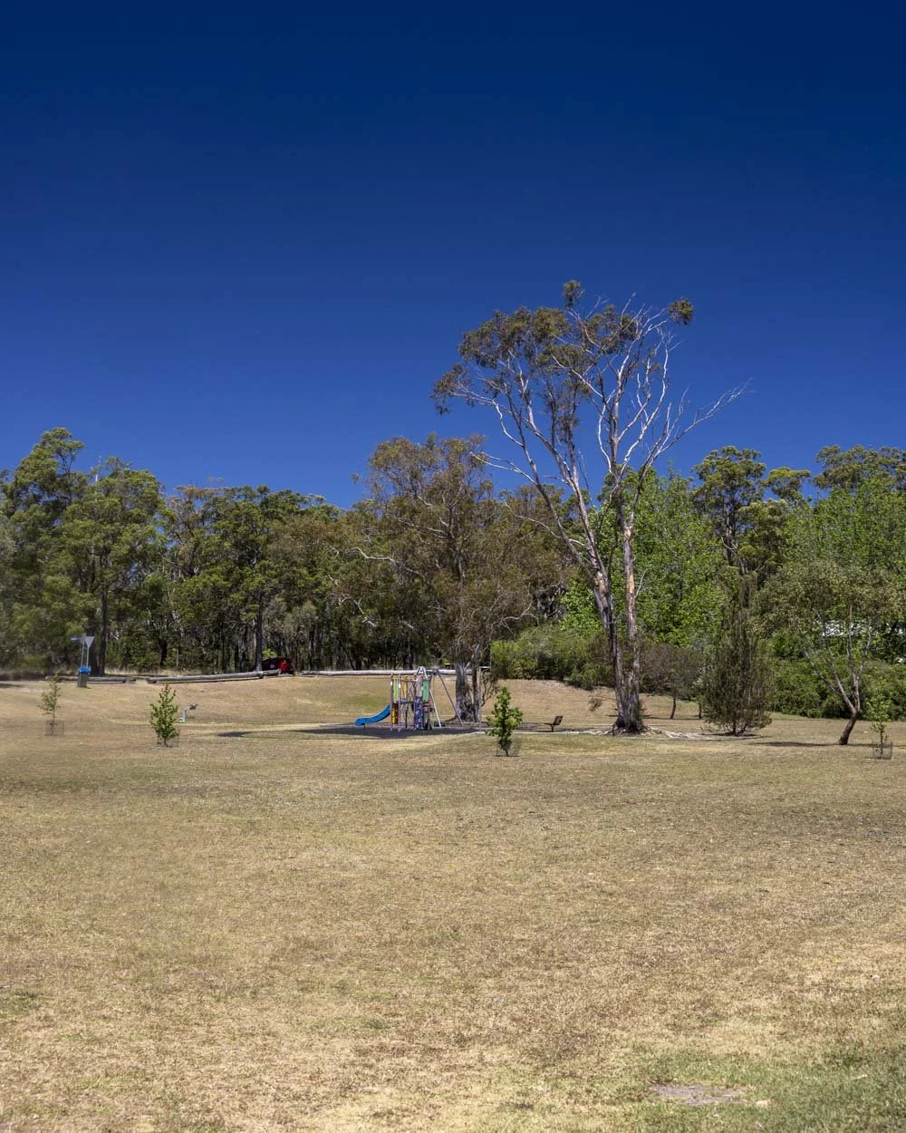
The walk begins on Batman Crescent in Springwood (full parking details below).
You’ll head along a short section of road next to Batman Park before skirting round the edge of the communal gardens beside the units to reach the start of the Batman Track.
This is the first of the uniquely named trails you need to take to reach the falls (this trail joins the Fairy Dell Track and the Victory Track before you reach Magdala Falls).
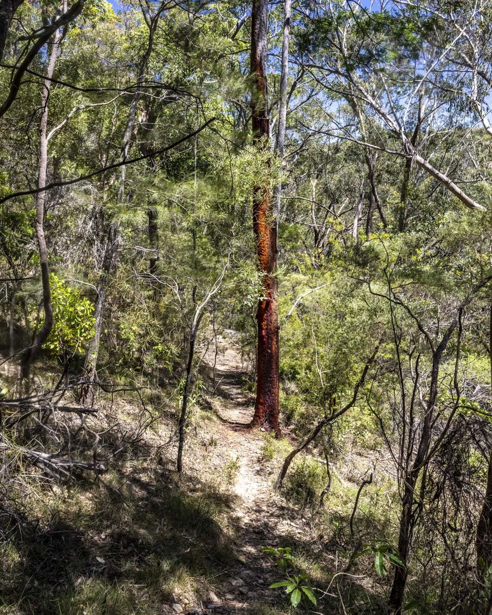
Just 60m from where you parked, you’ll head into the bush on the obvious worn path. There is a short section of steep dirt track to kick off with, but it’s not long before the gradient slackens.
There are plenty of trees along the steeper section of the trail which are handy if you want a bit of extra stability.
After a couple of hundred metres the track bears left and you’ll soon pass a small cascade (which can run dry) and if wet, a few of the steps here can get a little slippery.
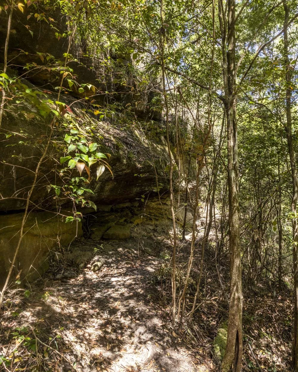
The path then flattens and heads through denser bushland. Since we last walked this track there are a few trees down over the next section of the trail, though these may be removed in time.
All can be stepped over with relative ease, but there are now some minor bits of eroded track and it’s not as smooth sailing as it once was.
You’ll soon pass a picturesque overhang and then a few hundred metres of flat path later come to the junction with the Fairy Dell Track (at the 1.05km mark).
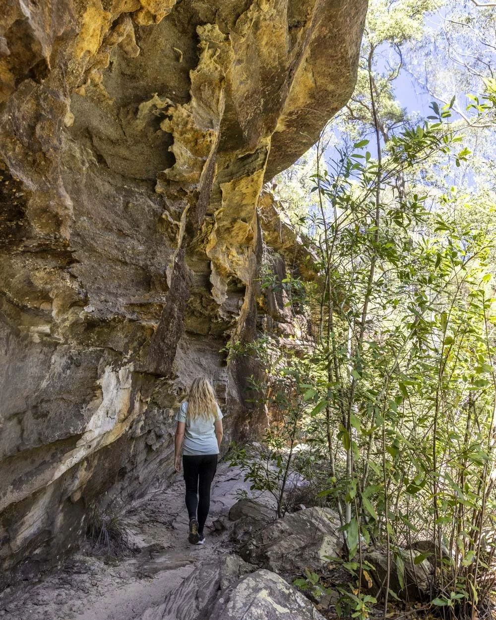
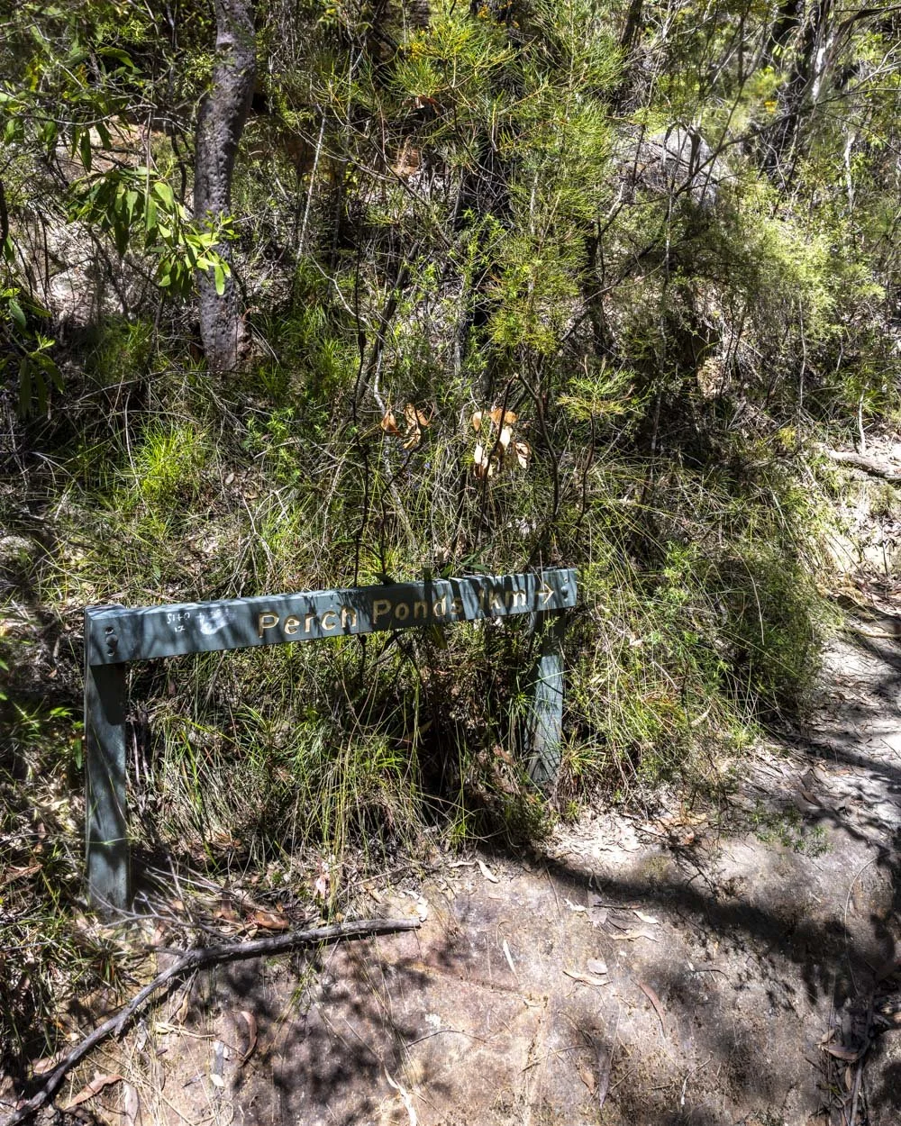
To Magdala Falls
The junction is well signposted and you’ll take the path heading uphill on the left, towards Perch Ponds.
The uphill section soon gives way to flatter track and comes to a creek crossing after 400m. The crossing is usually always very low and would only involve wet boots in flood conditions (which would mean you would want to avoid the walk anyway!).
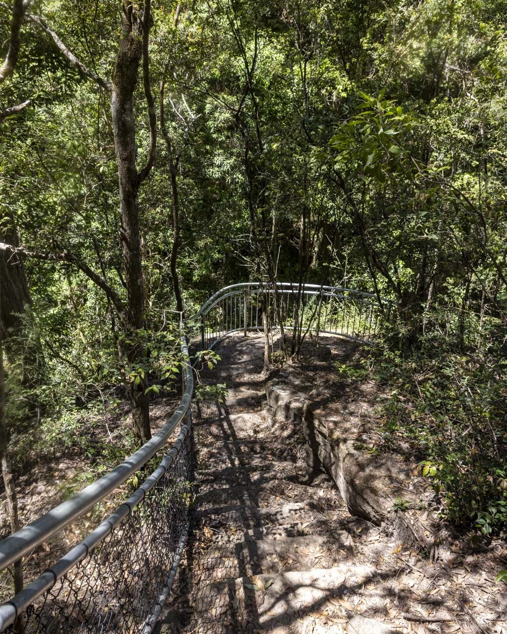
Once you’ve crossed the creek you are 200m away from Magdala Falls Lookout (just over 1.6km into the walk). Though this is an official railed viewpoint, it doesn’t offer a great look at the waterfall, for this you need to head briefly off track.
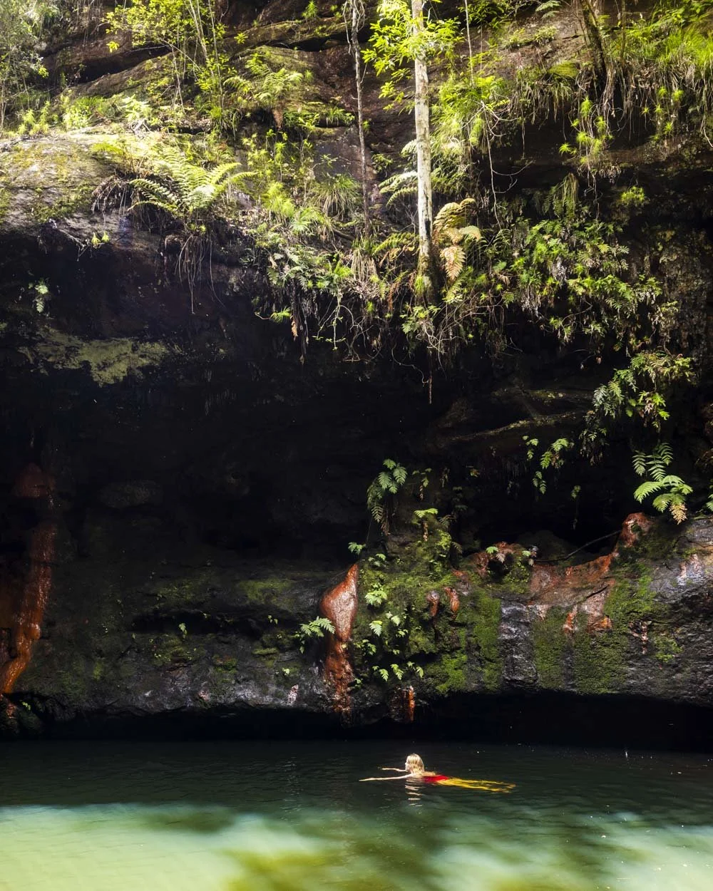
The bottom of the falls is 200m away and if you don’t mind rock hopping and a little bit of climbing over logs etc it is so worth the detour.
We cover the route and what it’s like to swim in the falls here, so in the interest of this article not becoming a dissertation, I won’t repeat it here!
To Perch Ponds via Martins Falls
From Magdala Falls Lookout, Martins Falls is 350m further on, via another lovely overhang. The path is in good condition and descends gently to the falls.
Martins Falls can be hit or miss depending on the flow (as can Magdala), you really want to visit after some decent rainfall to see it at its best.
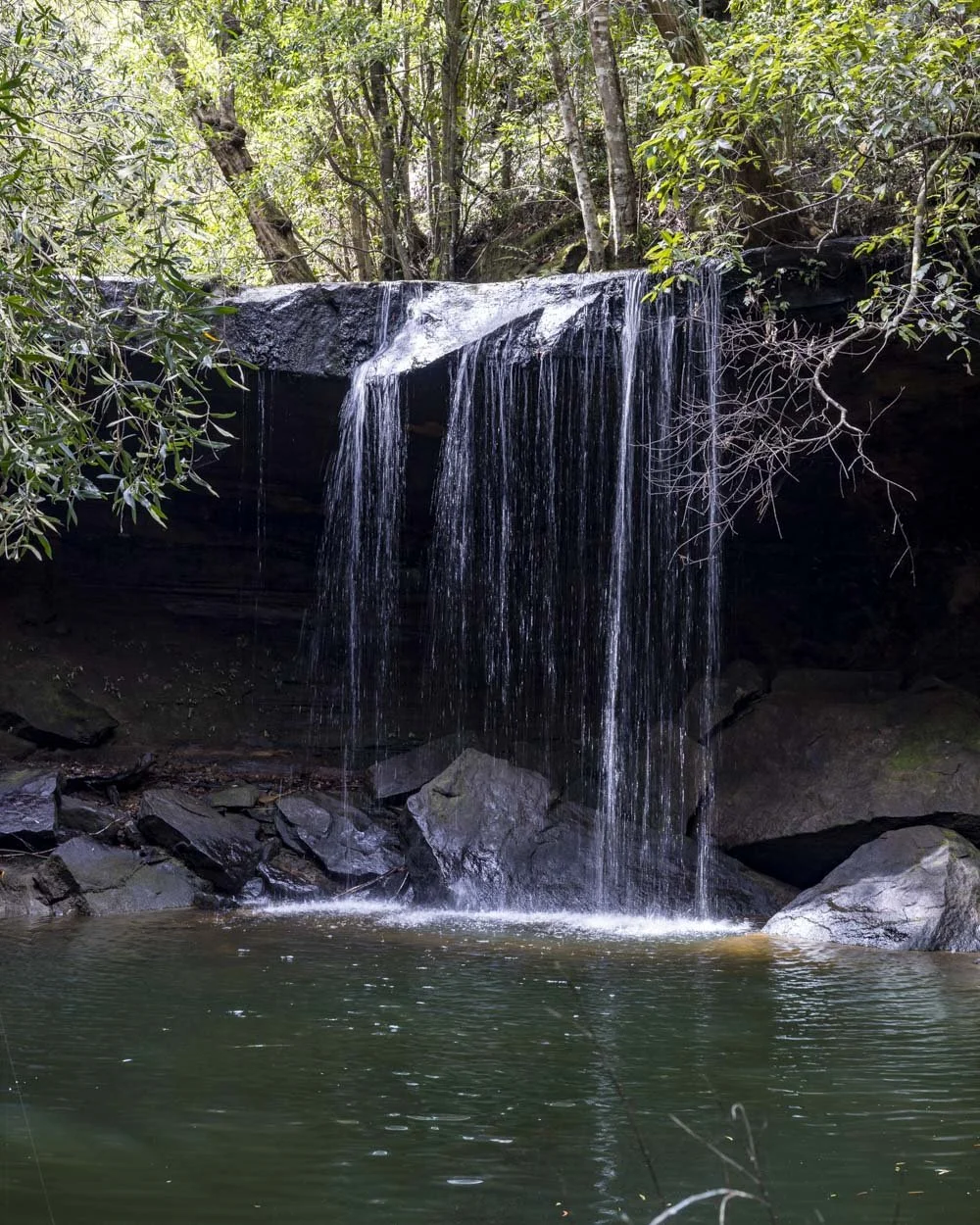
When you do, it’s a pretty waterfall. The narrow bush track continues gently descending for another 350m at which point you will arrive at Perch Ponds campsite (just over 2.3km into the walk).
There are no facilities here beyond a makeshift fire pit, but it’s a pleasant shady spot close to the water.
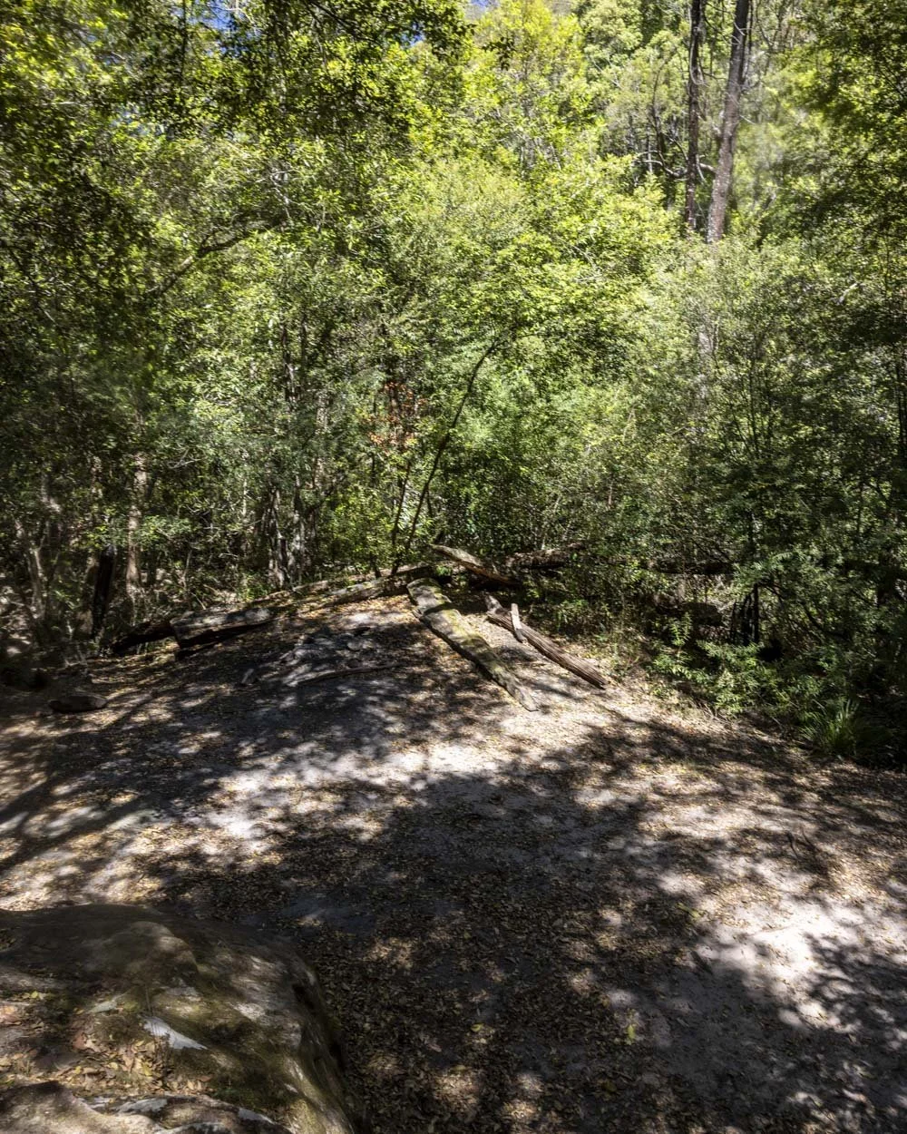
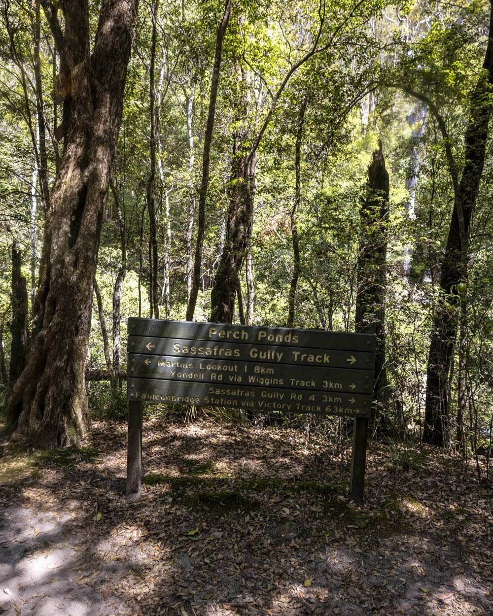
Unfortunately following lots of severe weather events, access to Perch Ponds waterhole is now a bit of a scramble.
You need to bear left from the campsite, across a little bit of rocky terrain before following the narrow dirt track which is in good condition.
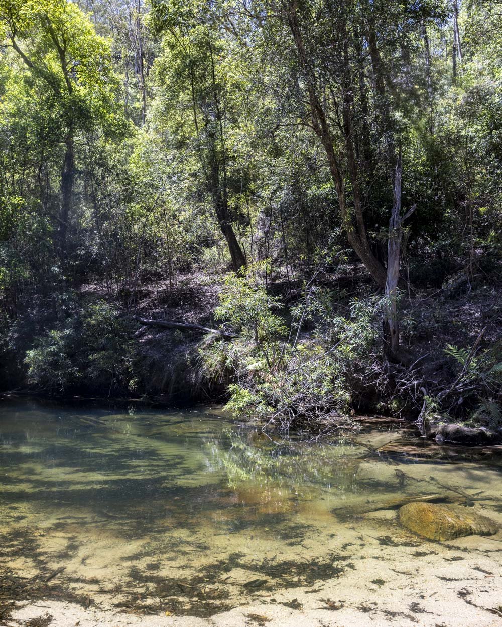
You’ll see the little sand beach 100m from the campsite, but the once easy track down to it is now obscured by debris.
A worn social ‘trail’ leads downhill towards the water, but it’s a bit steep and not in great shape. It’s no better further along either as although access is less steep, you have to fight a lot more debris.
Perch Ponds is a picturesque waterhole with clear water and dense bushy surrounds, however, if you don’t like the look of the route down, don’t worry because better and much easier to access swimming holes lie ahead.
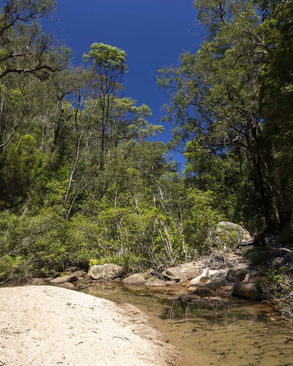
If you don’t mind the rough few metres down to the creek you can relax on the beach between dips in that clear green water.
To Sharks Head Cave
Roughly 200m beyond the Perch Ponds campsite you will come to some rock platforms and bear left to keep following the bush track uphill.
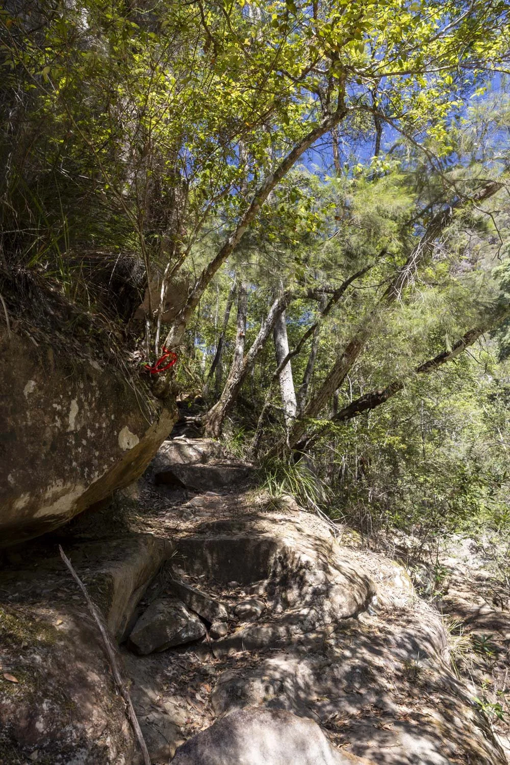
The path gets very narrow for a short distance and there is a little bit of a drop to the right, but footing is good, so it doesn’t feel too precarious.
A couple of hundred metres later the path drops down to creek level and there is easy water access here, however, the creek was full of leaf litter, so though pretty, it’s not a great swimming spot.
You’ll keep following the worn path through the bush until the 2.9km mark (not including the detour to the bottom of Magdala Falls).
It’s roughly at these coordinates: -33.734251, 150.571661 and you will see an obvious, though unmaintained, trail leading downhill on the right.
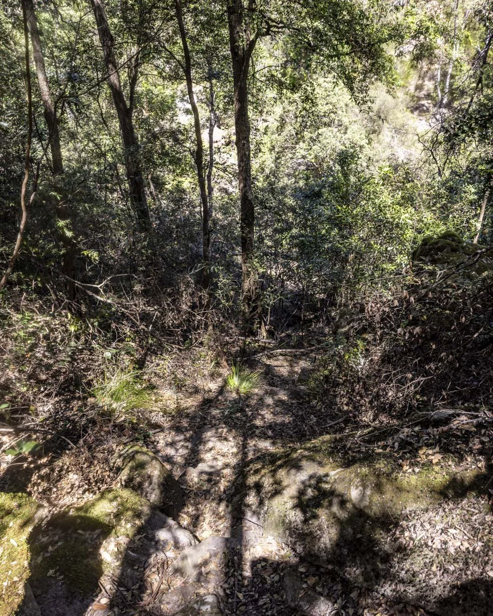
It looks like there used to be a good set of stone steps here, but now only sections remain amongst the leaf litter strewn dirt path. You’ll reach the creek after a 50m somewhat slippery descent.
You then need to cross the creek which was pretty dry when we visited and is unlikely to ever be deep unless there’s been very heavy recent rainfall. It’s also a solid rock platform, so you only need to worry if there’s a little sediment on the rocks which can be slippery.
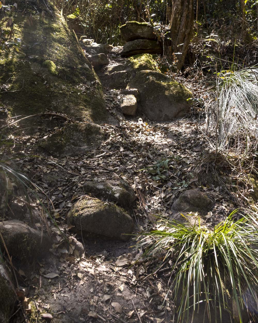
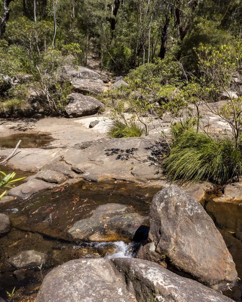
Once you’re across the creek, you’ll see a worn path continuing into the bush. It’s a steep trail uphill and a little overgrown, but easy enough to follow.
It’s again covered in leaf litter leaving it quite slippery and care should be taken here, especially when descending after visiting the cave.
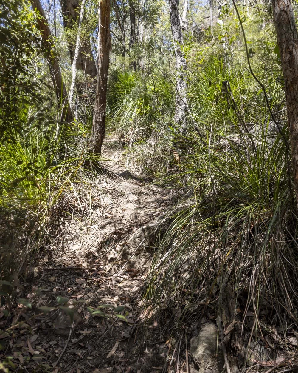
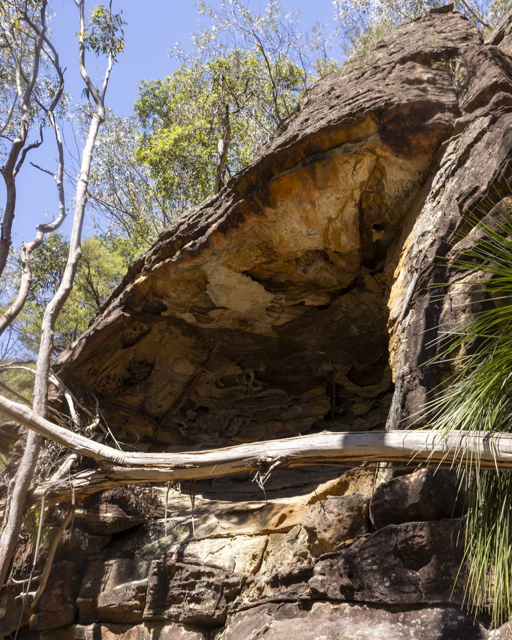
You’ll reach an overhang after 50m and you could easily think you’ve reached a pretty underwhelming cave. At this point head left, and then traverse for 10m. You’ll see a worn path heading uphill on your right, over some rocky terrain.
It’s steep, but as it’s rocky it makes for a lot firmer footing.
Sharks Head Cave is 140m away at these coordinates: -33.735422, 150.572286 (you can see it on Google Maps by clicking here).
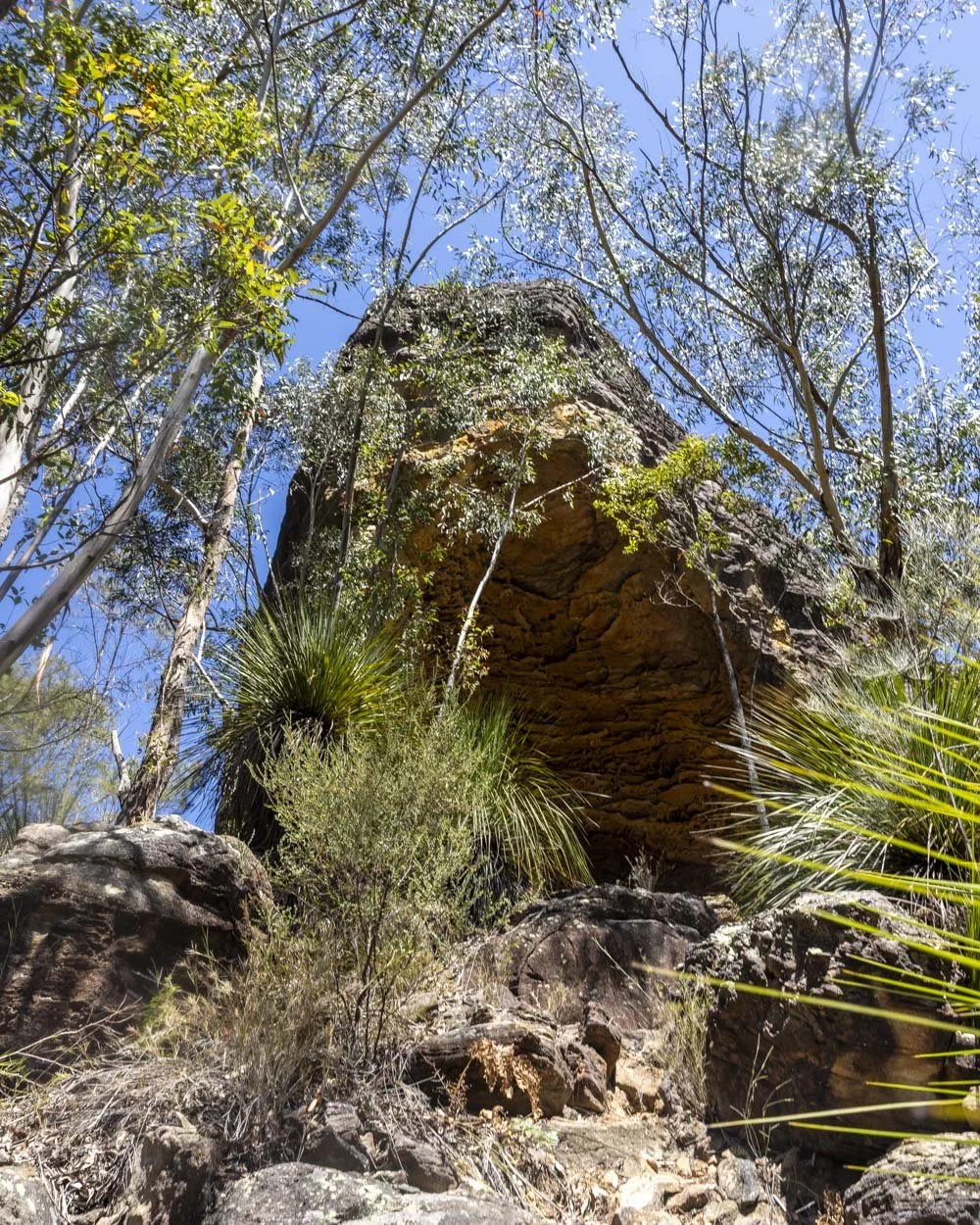
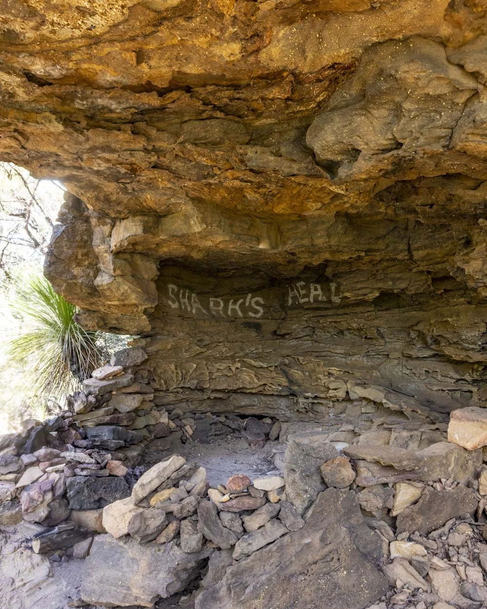
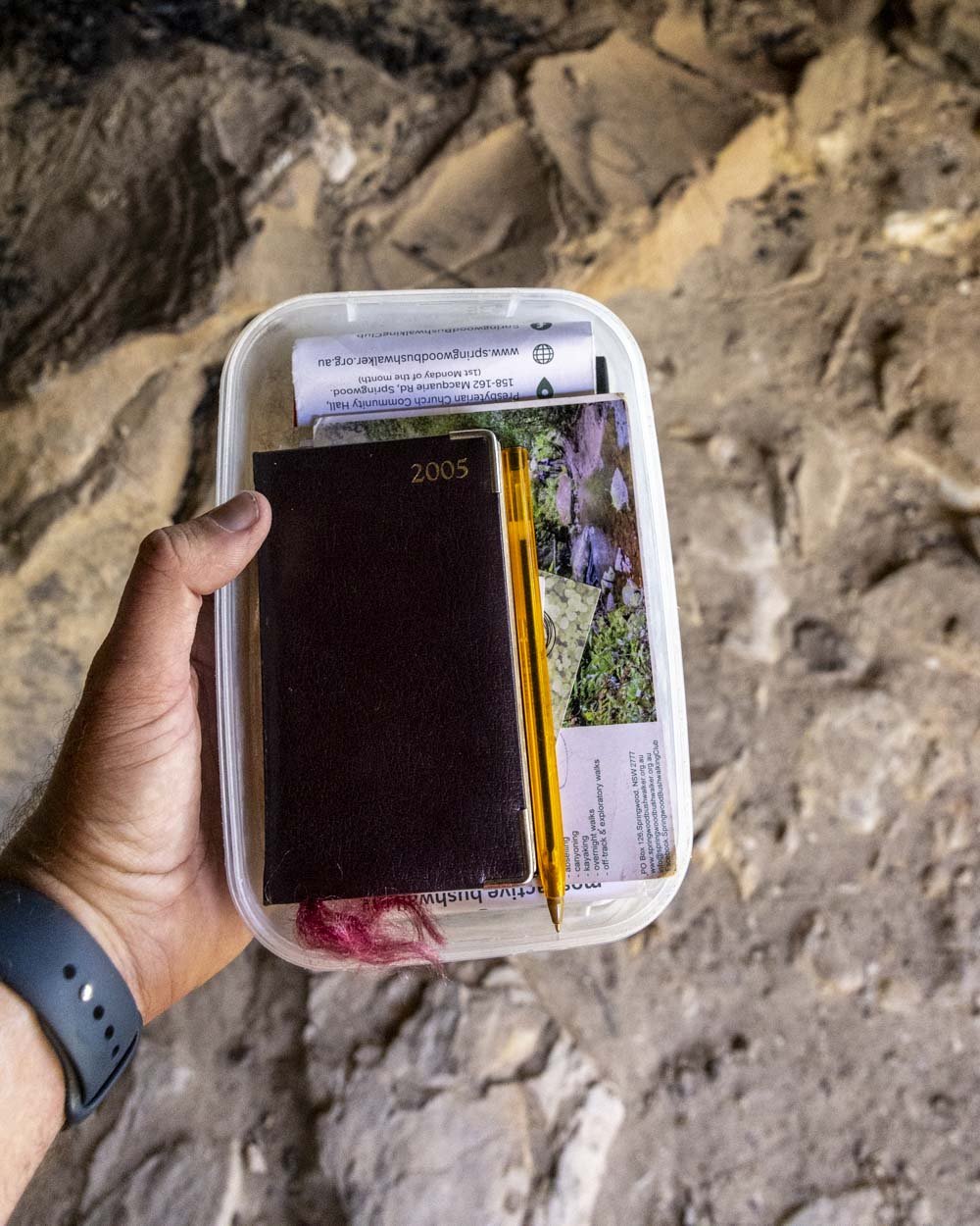
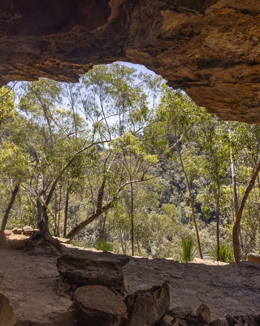
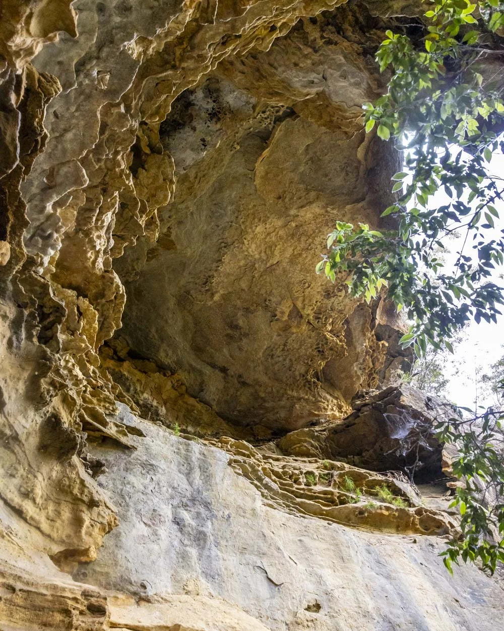
It’s notable by it’s strange shape which is of course how it got its name. It’s not big by any means, but it’s a fun spot with great views, a fire place and an old plastic tub with a bushwalking log book inside which we sadly forgot to sign!
There were also some business cards for the Springwood Bushwalkers Club who would no doubt take you on some great adventures if you’re local to the area.
When you’re ready to leave the cave you retrace your steps back to the main track.
To the beautiful boulder pool
After 50m back on the main track you will descend a small set of metal stairs and just 20m beyond the stairs look to your right and you will the Sharks Head Cave jutting out, high above the dense bush.
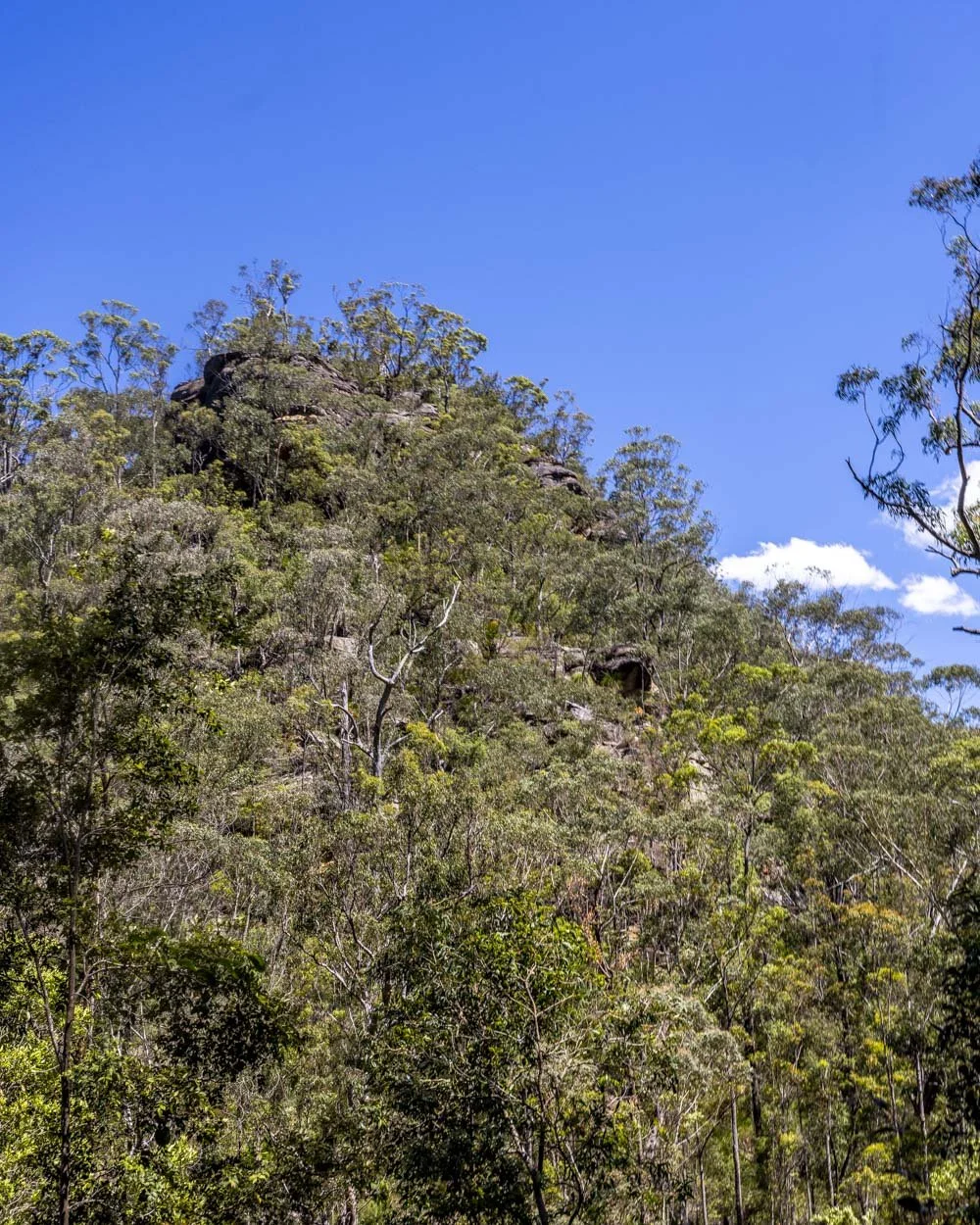
It looks impenetrable from this angle! Roughly 80m further along the track there is some tree fall which you can duck under or navigate around using the fallen tree trunk on the right.
The track is then in fairly good shape for the next 550m at which point you can cut down to the stunning boulder pool.
There is no set route for getting down, I chose to head down beside the huge mossy rock which offered quite shallow access but is uneven underfoot.
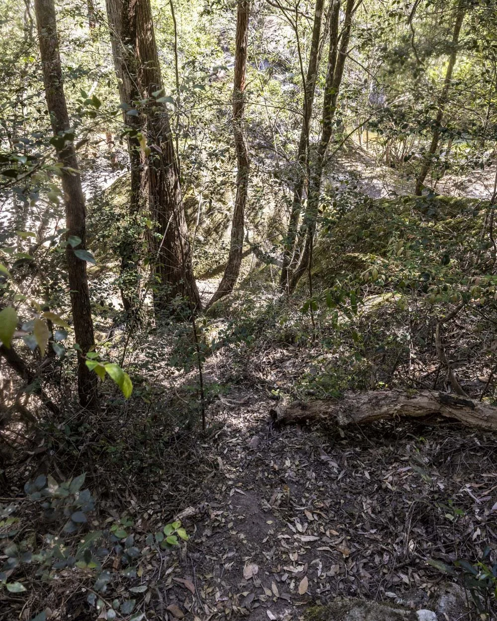
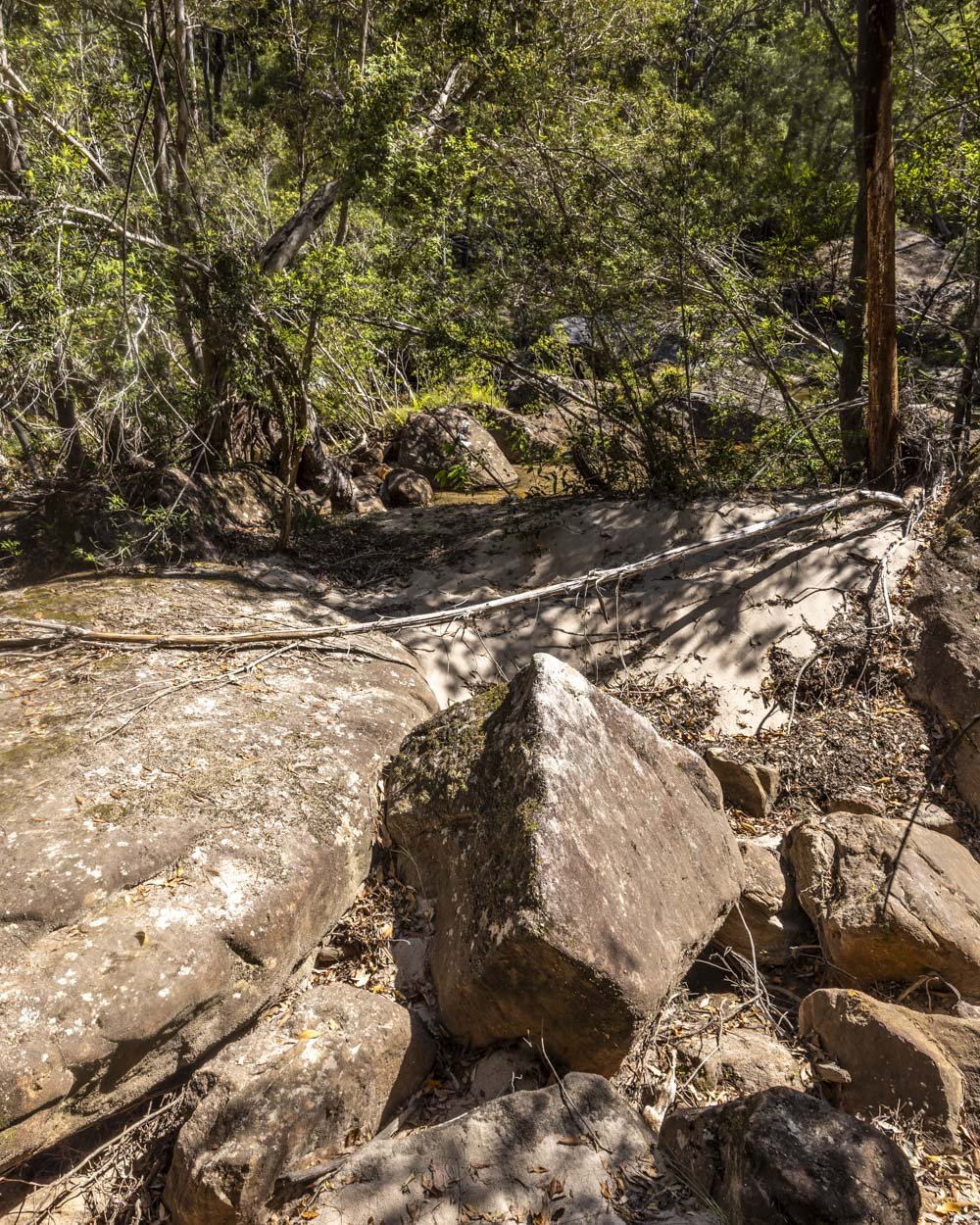
It’s less than 100m from the main track down to the river and all routes are uneven and may require a little web removal!
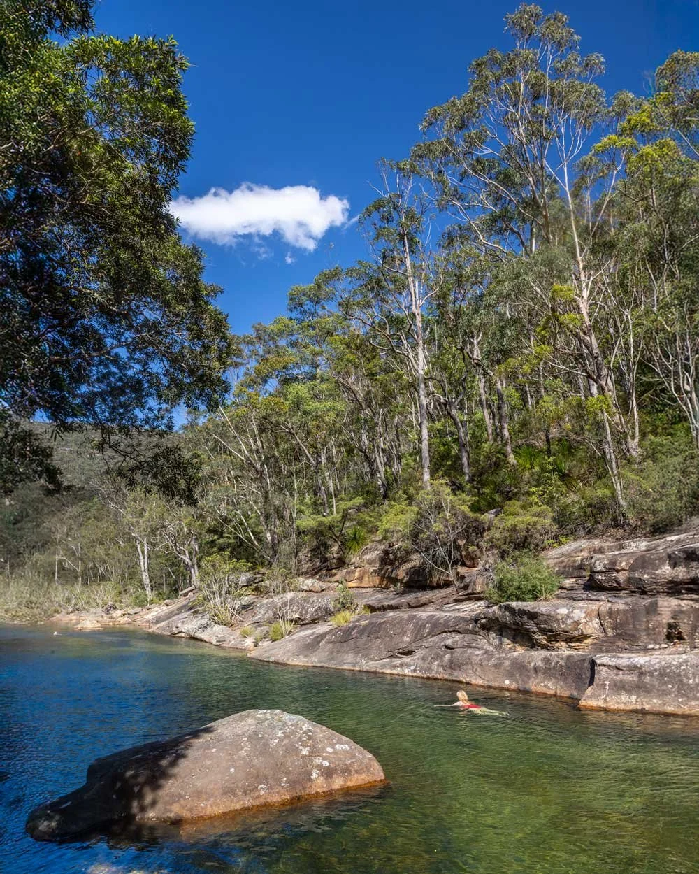
It’s so worth it though. Once you reach the water’s edge it’s like you’ve suddenly been transported to Far North Queensland.
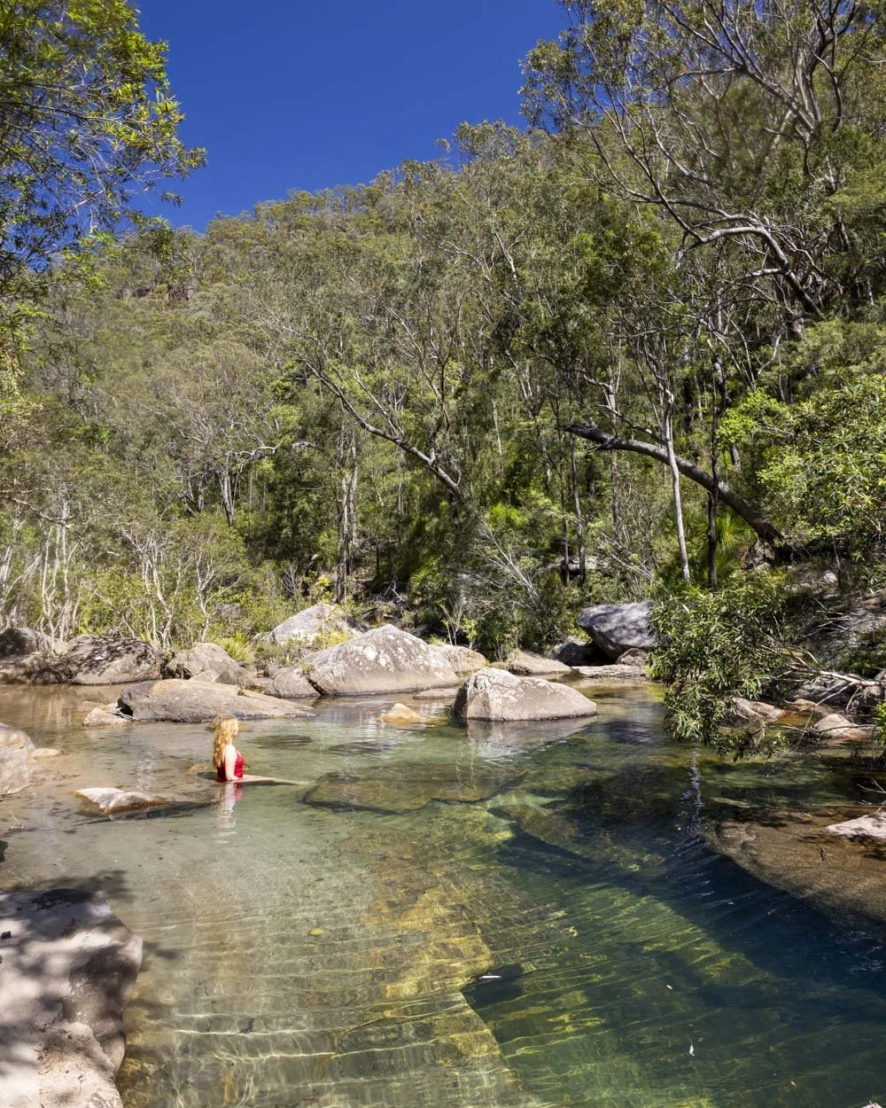
The water is crystal clear with a mesmerising blue green hue in the sunshine. You’re surrounded by giant boulders and endless gum trees creating a scene which is just pure magic.
There’s only one very tiny bend in the river which is suitable for swimming a few strokes, but if you’re happy simply to relax in the shallows, it’s a simply sublime spot to do so.
It’s one of those places that lulls you into a sense of deep relaxation and photos definitely don’t do it justice.
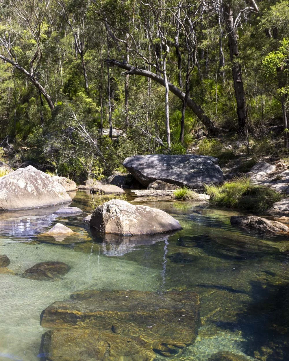
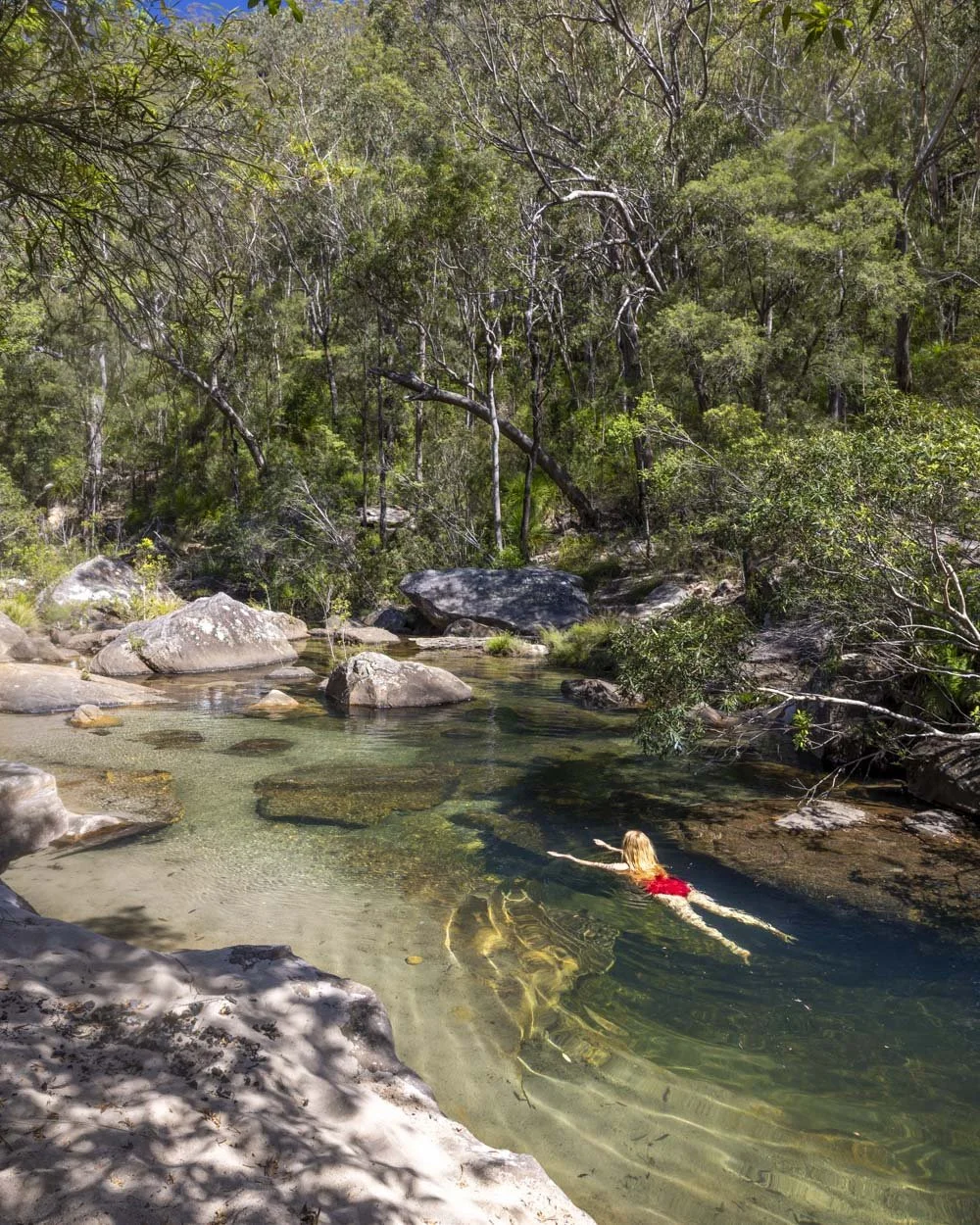
Accessing the water is easy as you can step off the river bank into ankle deep water beside the rocks, or straight into deeper water beside the bend.
And before you lament the fact that it’s not deep enough to swim, just 100m further along the trail you will come to a pool big enough to swim laps in!
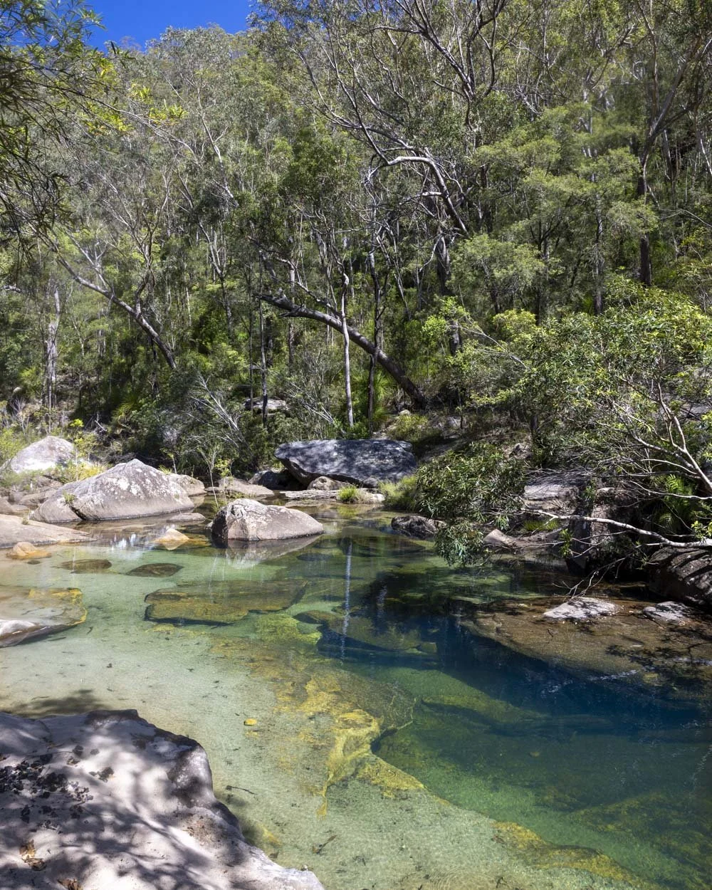
Reaching the incredible lap pool
When you can tear yourself away from this beautiful part of the river you head back onto the main track and just under 100m later you will arrive at a small rustic campsite just in front of one of my new favourite pools in the Lower Blue Mountains, Peridot Pool.
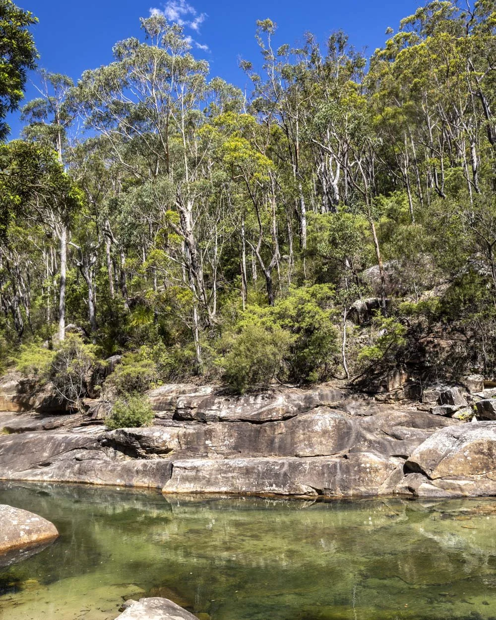
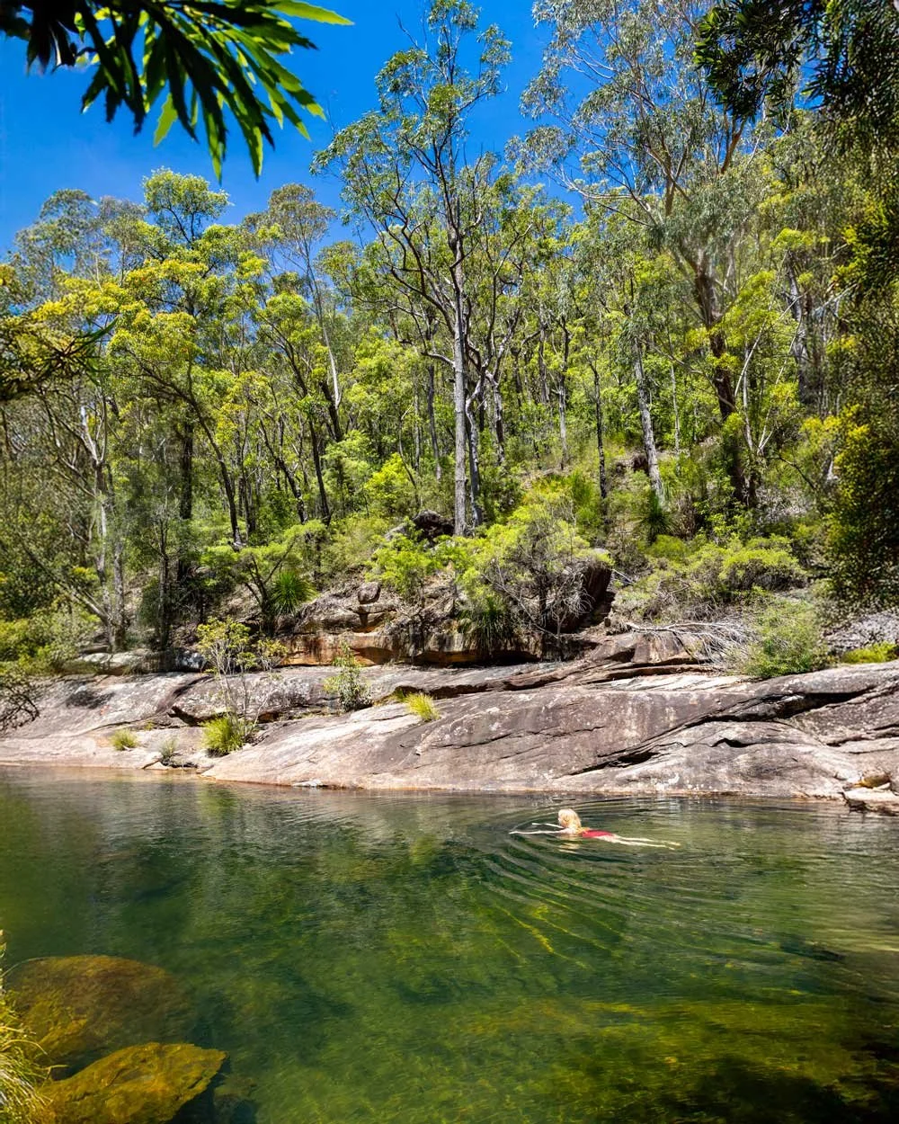
Depending on the light, the water is either a sparkling green or blue and it runs alongside a fabulous rock wall. It has a shallow entry point and then despite appearances from outside the water, it’s almost immediately deep enough to swim.
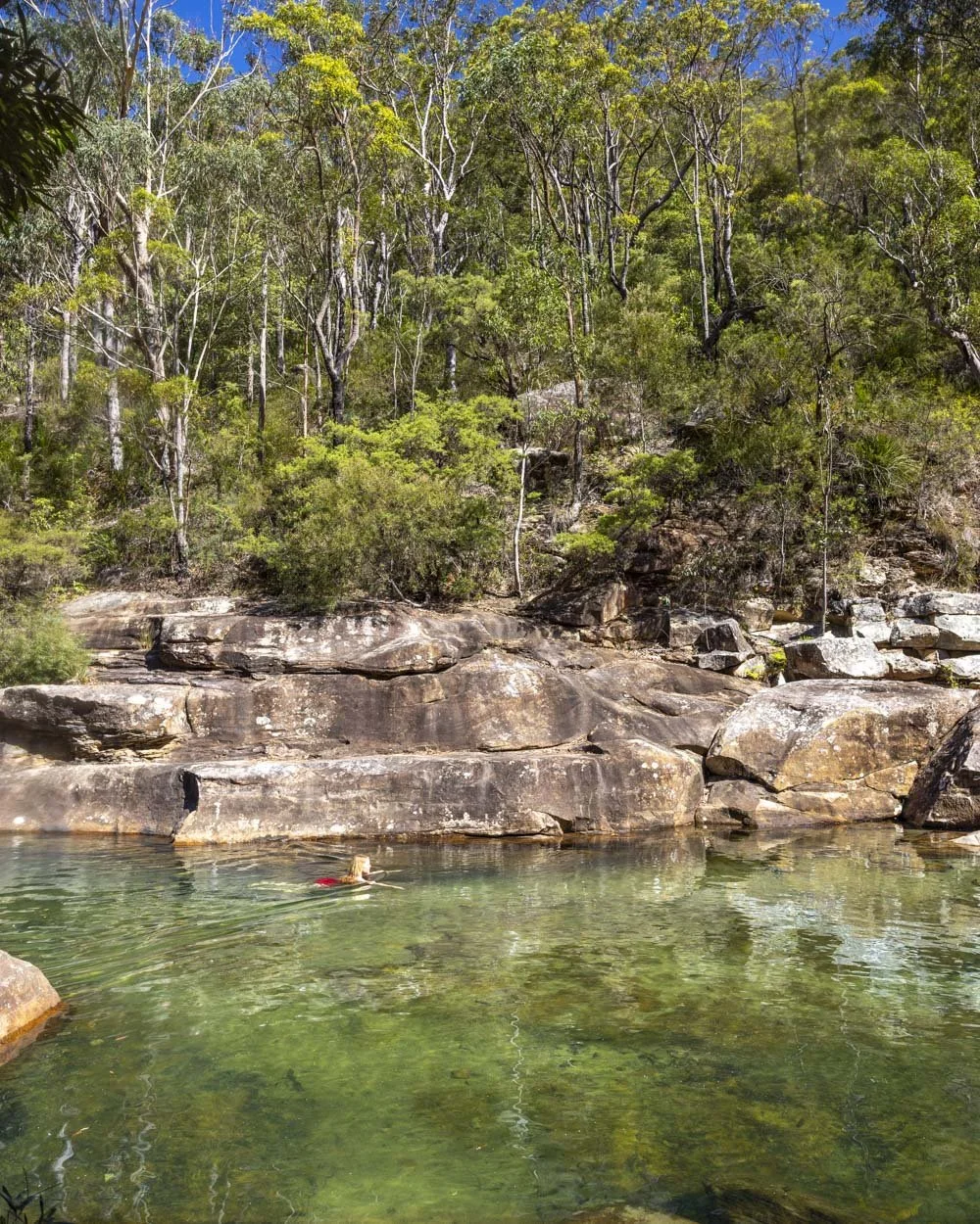
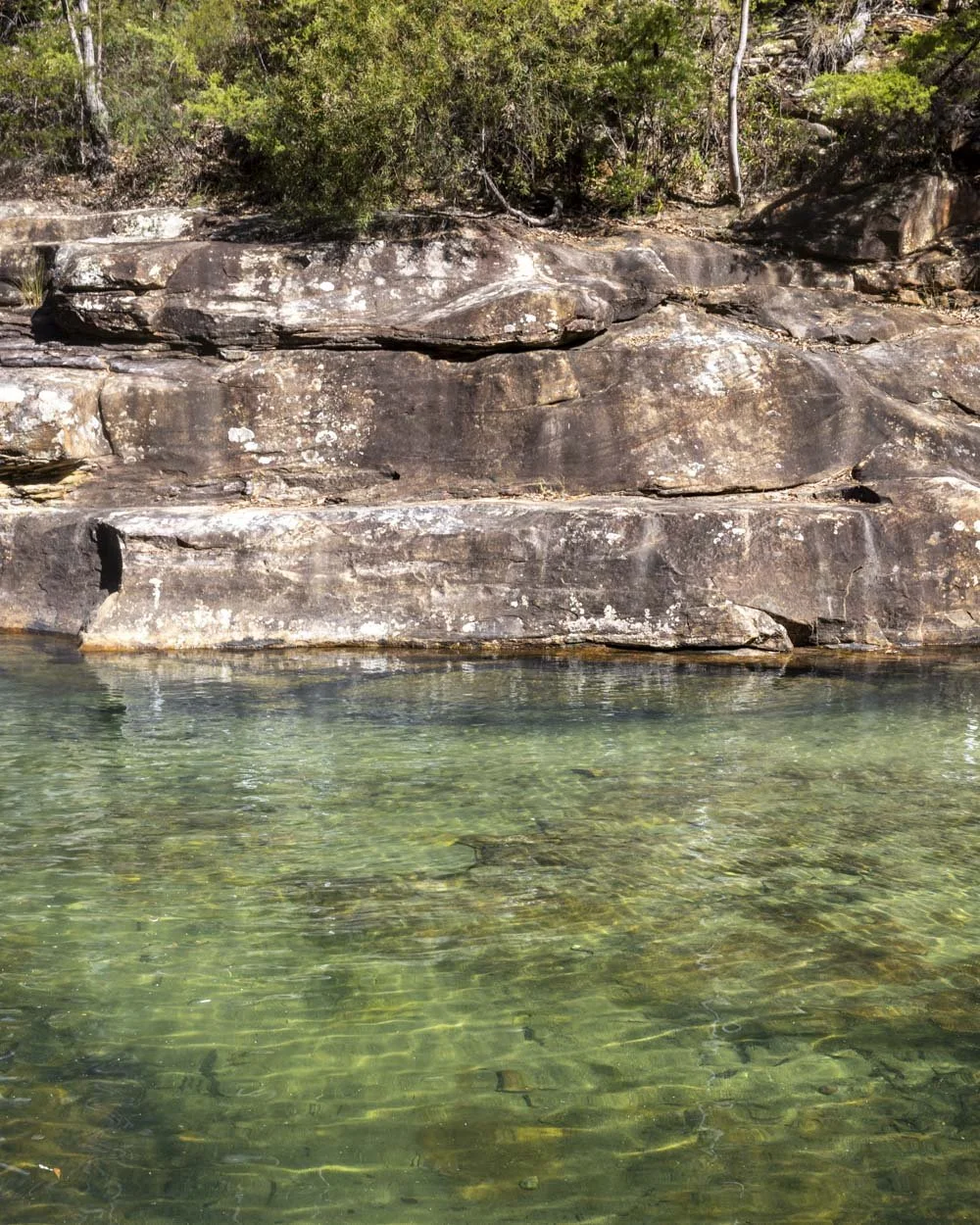
It’s not especially deep at first but quickly becomes so as you swim its length. The sandy bottom, clear water and gorgeous backdrop makes for a truly amazing swimming hole. We were already planning our return before we’d even left!
If you’re keen, there are more beautiful swimming spots further along the creek which we detail in this guide.
Climbing out the gorge to Martins Lookout
From Peridot Pool you begin your ascent back out of the gorge. Happily this is on a very well maintained track with predominantly even stone steps and a few handrails to help if needed.
It does have one or two uneven sections, but for the most part the track is in superb condition making the climb that much easier.
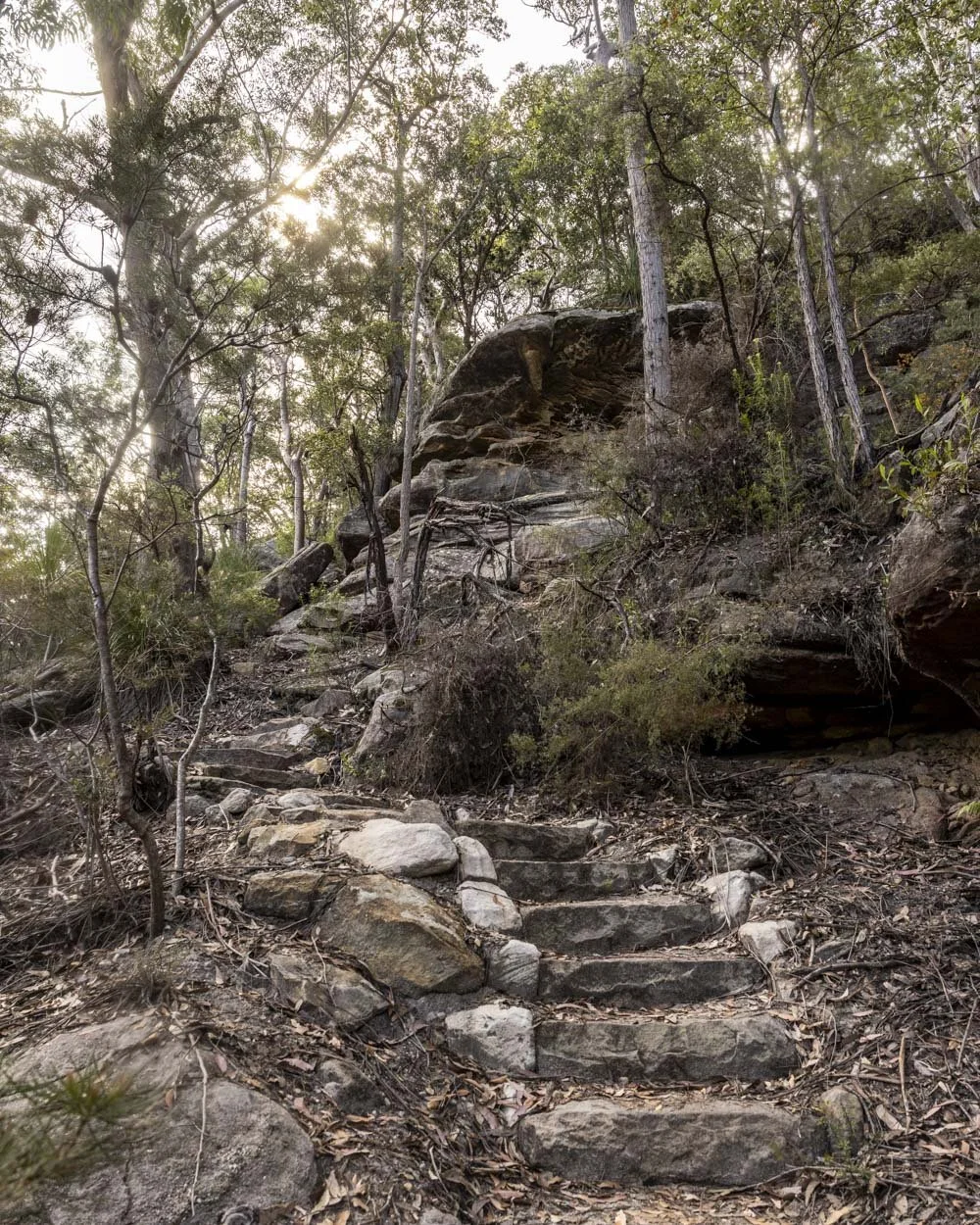
It’s steep, so it is a bit of a workout, though you can stop to admire a few picturesque overhangs along the way. You’ll reach Martins Lookout just under 1km after leaving the pool and only a very short section of that distance is flat.
The view from the lookout is very pretty, with thickly forested mountains as far as the eye can see. There’s also a plaque here remembering Reverend Raymer, a keen local bushwalker, who tragically lost his life when saving a pupil from drowning in Wollongong.
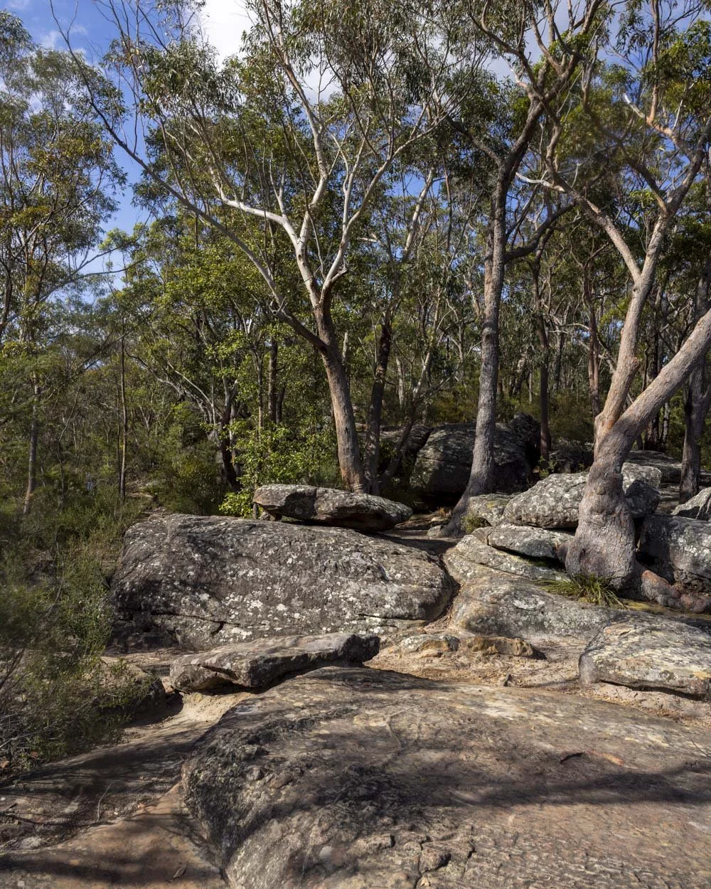
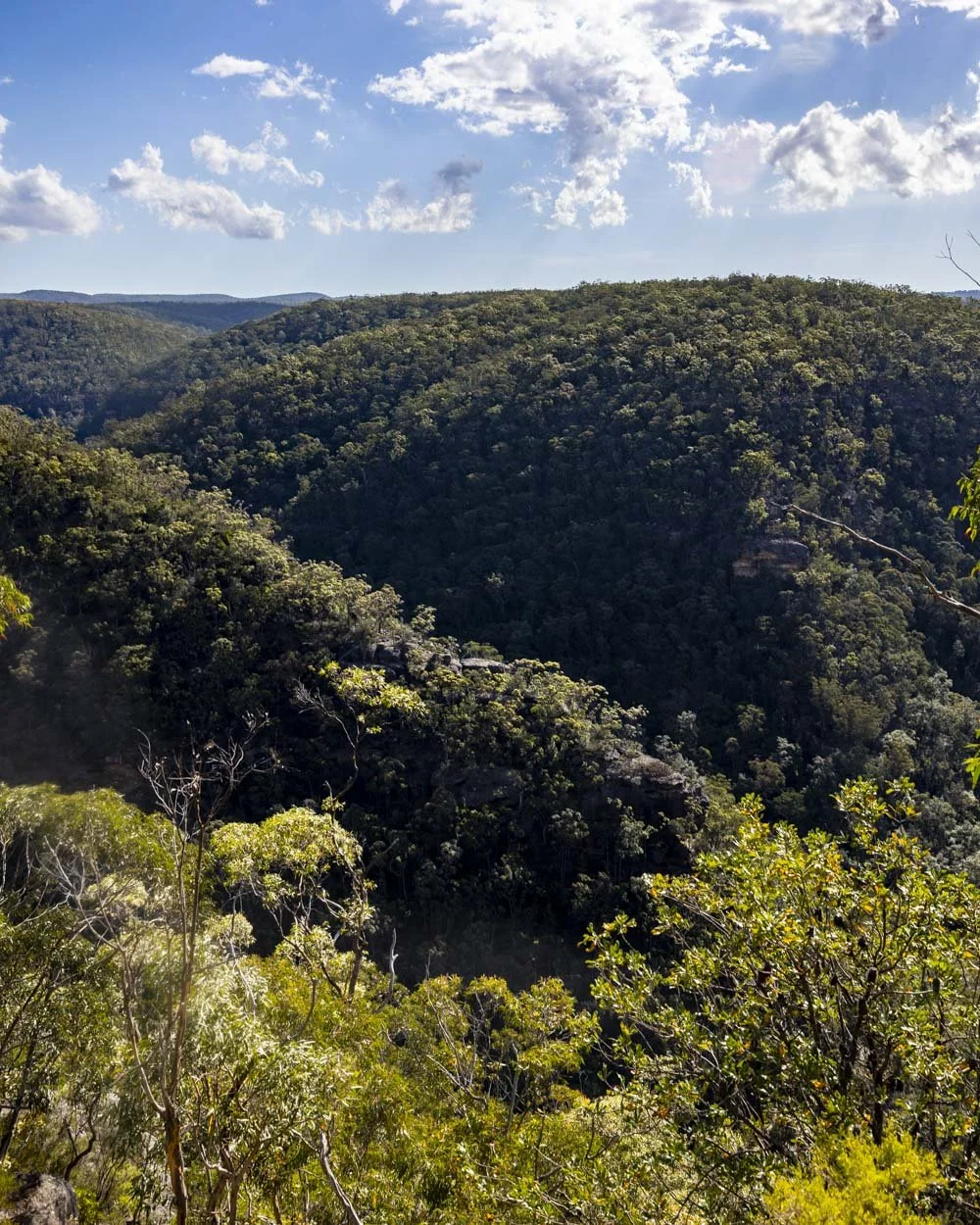
There are lots of flat rocks to sit and admire the view and take a little breather after the climb before you complete the circuit back to the parking area.
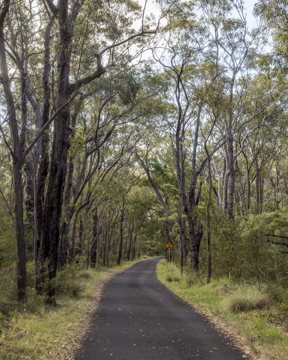
There’s another 100m in the bush before you reach the road which you’ll follow for about 1.9km back to the car park.
I wasn’t looking forward to this bit but the road is flat, surrounded by bush on both sides and very quiet.
I actually really enjoyed this little leg stretch after the climb, so it didn’t end the walk on a bum note!
Keep them wild
Please remember to take all rubbish with you and keep these places wild and pristine - as with anywhere in the outdoors. It’s important to leave them exactly as you found them so they will remain beautiful for generations to come.
Litter tends to breed litter, so if you do spot any and are able to pick it up and dispose of it outside the national park, it will go a long way to keeping the area clean.
Getting to the trailhead for the Springwood Gorge Circuit Walk
The closest parking area to the track is on Batman Crescent (beside the western end of Batman Park) in Springwood in the Lower Blue Mountains, you can see the exact location on Google maps here. This is a residential street and parking is not restricted, but please park respectfully.
Batman Crescent is 33km and a 30 minute drive from Katoomba and 73km and a 1 hour drive from Sydney CBD.
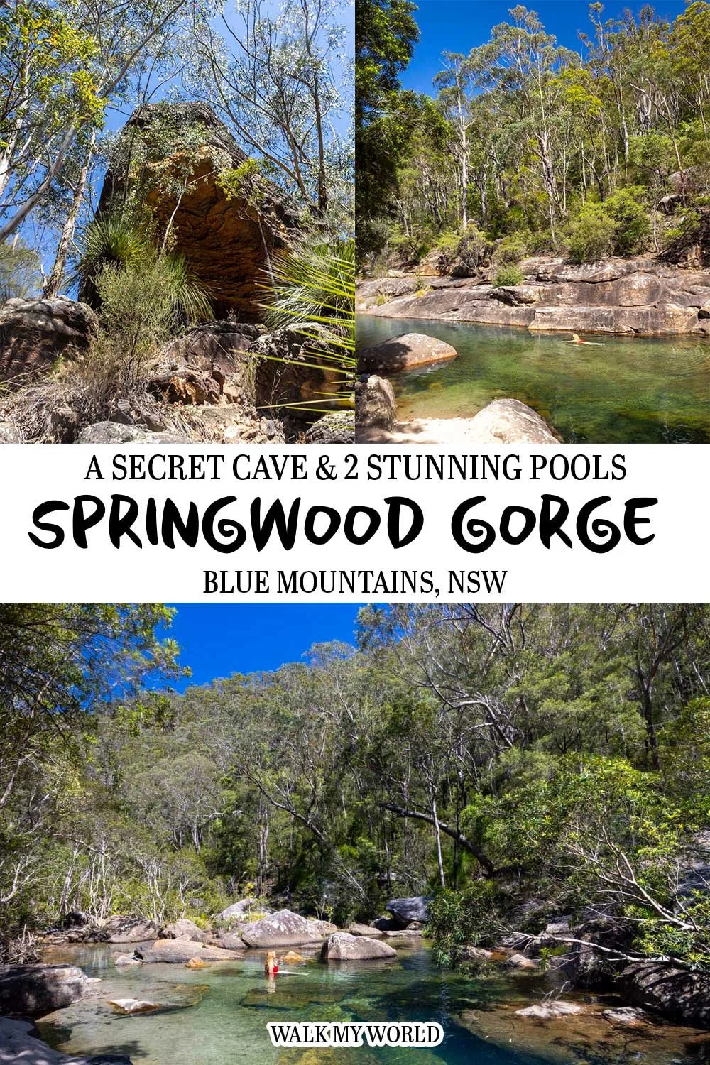
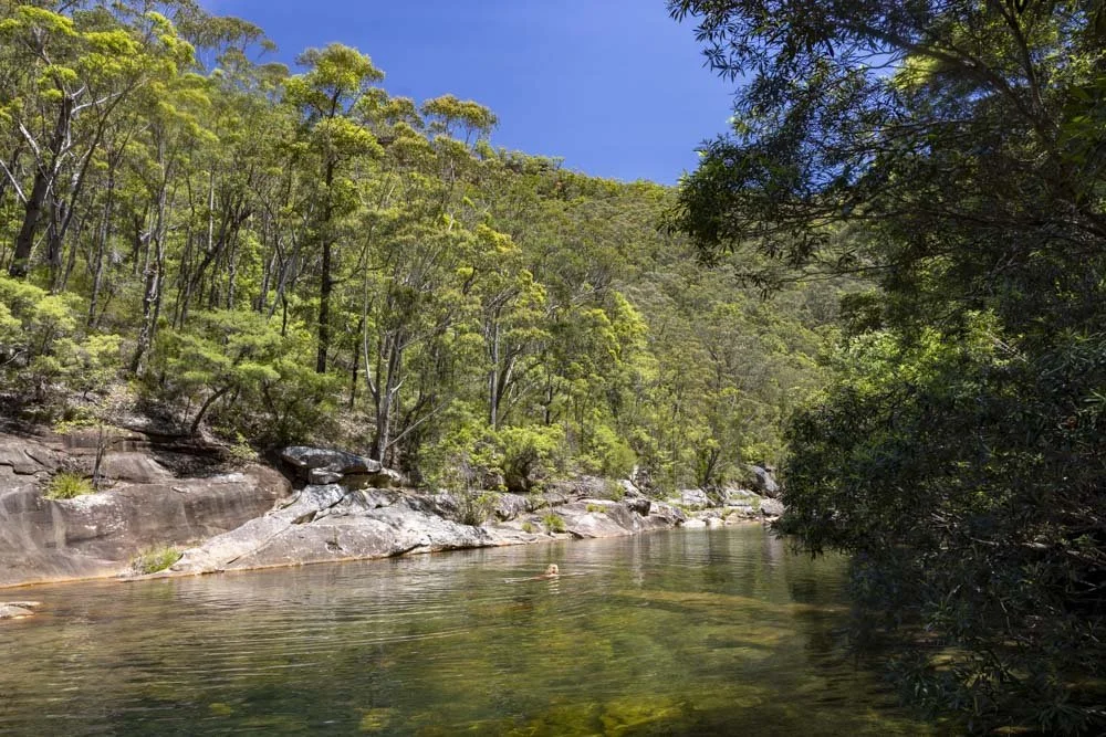
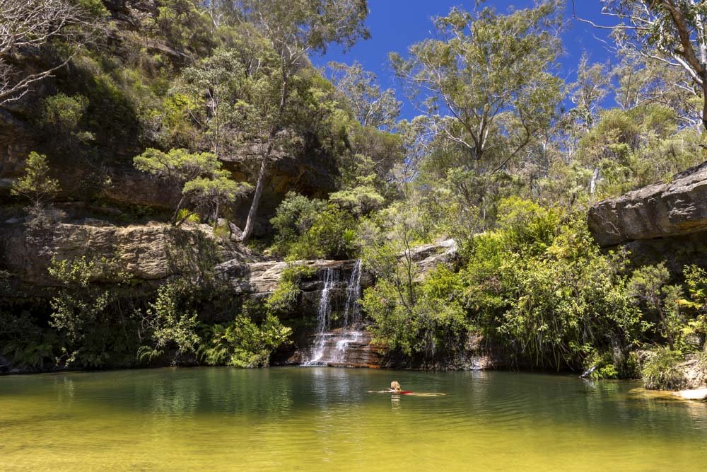


Shaws Creek Pool is hidden away down an un-signposted trail in the Blue Mountains. Venture down this unmarked path and you’ll discover a wild swimming paradise. We’re sharing how to get to the pool, including difficulty and trail conditions.