
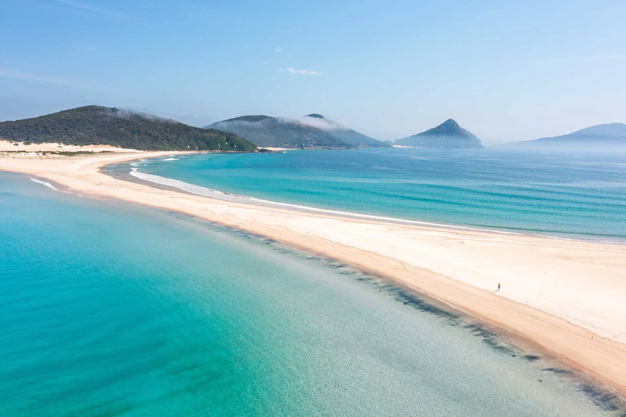
Crossing the spit to reach Fingal Island is one of the most fun adventures Port Stephens has to offer. The spit is notoriously fickle (full safety details below), but when Mother Nature rules in your favour you’ll cross the bar of golden sand to a spectacular beach with turquoise water and commanding views of the surrounding headlands.
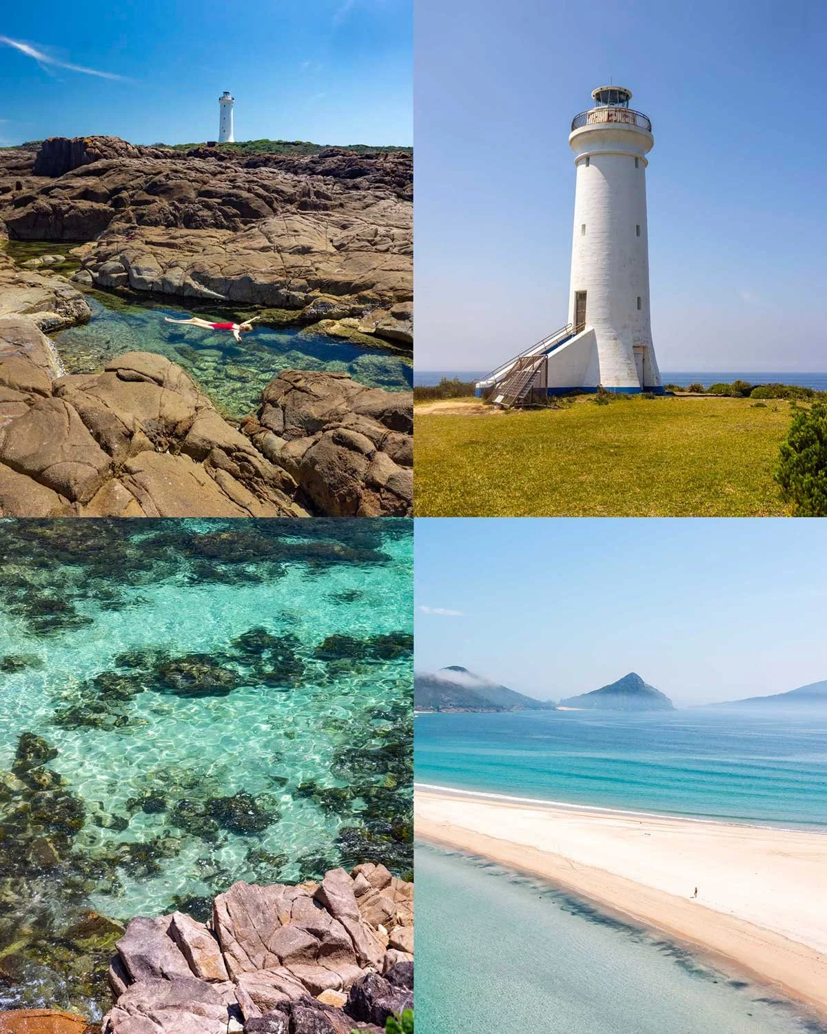
Once on the island the world is your oyster, with rockpools, a lighthouse and gorgeous secret beaches all waiting to be explored.
Just make sure you leave enough time to cross back over the spit before the tide comes in or you could be left starring in your own version of Castaway.
We’ve only explored a portion of the island and while we are already planning our return, here are our tips for visiting the island so far.
Visiting Fingal Island
Safety warning
The internet tells me that 17 people have tragically lost their lives visiting Fingal Island, so you do need to heed this safety warning to make sure you mitigate the risks.
The most important thing you need to know about the spit is that it will not always reveal itself, even at low tide.
If storms wash away the sand there will not be a wide enough sand bar to cross safely until the next storm brings the sand back again. This is why we’re writing this guide more than a year after our last attempt to cross the spit.
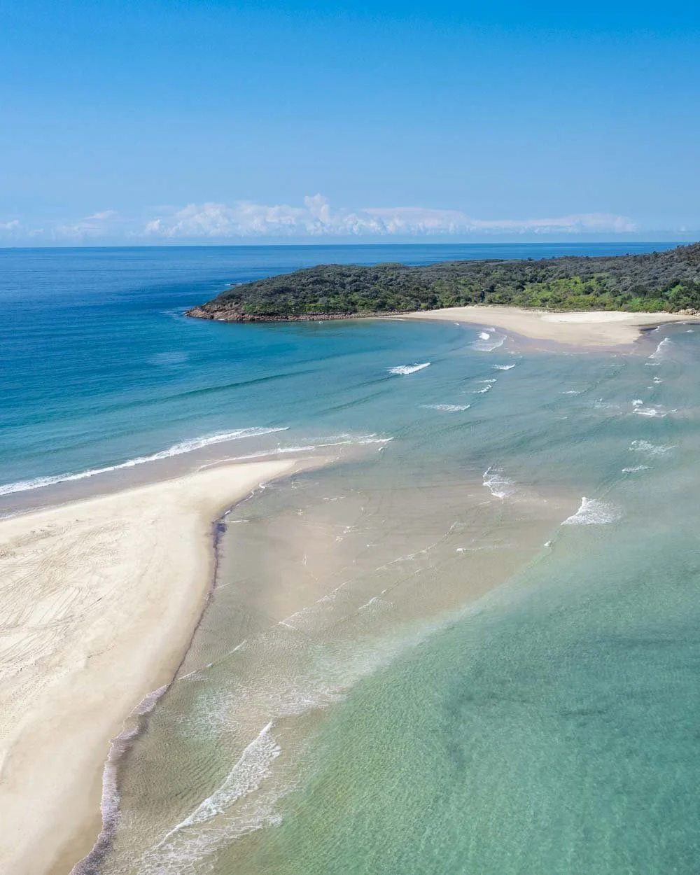
The spit at low tide on one of our failed attempts - do not cross if it looks like this
You should not cross if water is present on the sand bar and I believe being pulled out by strong currents is what has caused most of the accidents here. You must be prepared to abort your attempt if the spit does not fully reveal itself.
When we aborted, the water looked shallow, but we saw someone attempt to cross and that shallow water was very quickly above waist height. Couple this with strong currents and you can see how it’s easy to get into trouble.
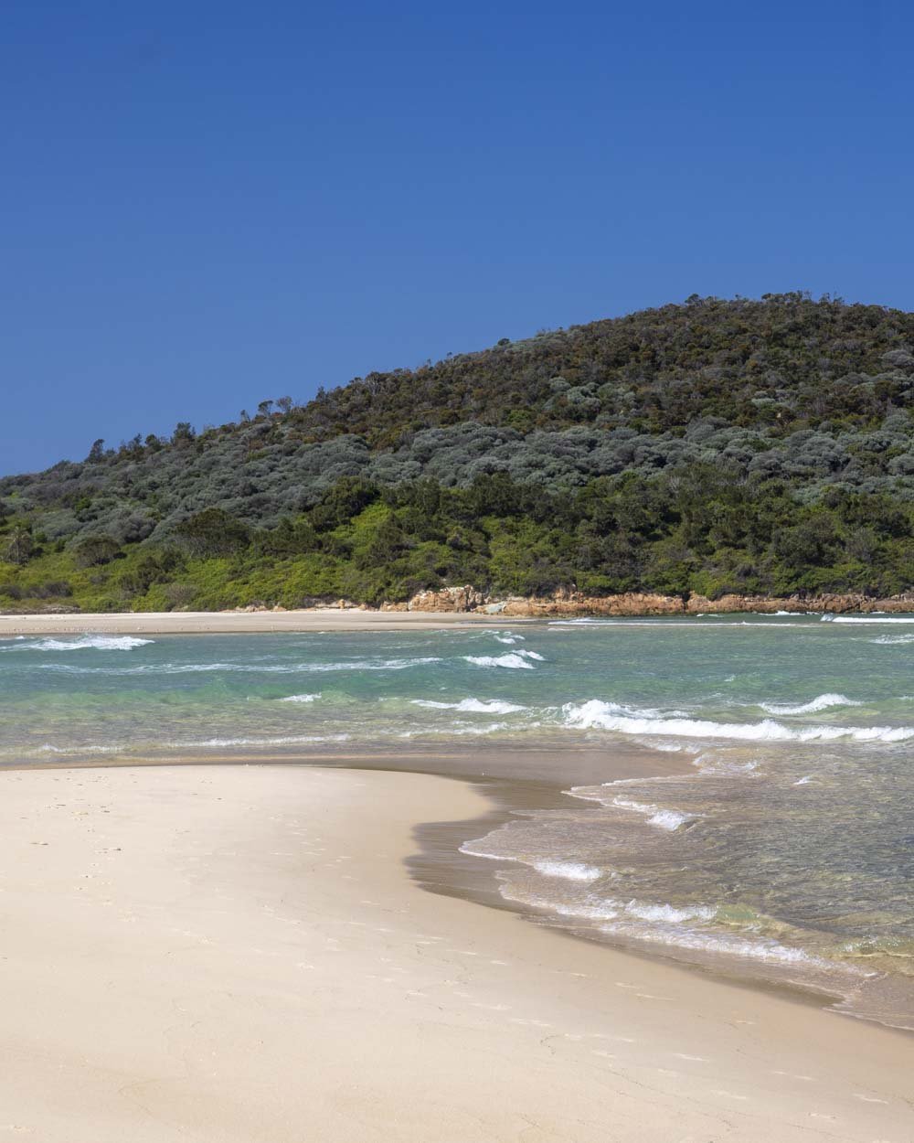
The wrong conditions from ground level
What I can tell you is that in the right conditions, the spit is wide (like it is as I write this today, 12/2/26) and crossing the sand bar is easy, fun and a real highlight of any trip to Port Stephens.
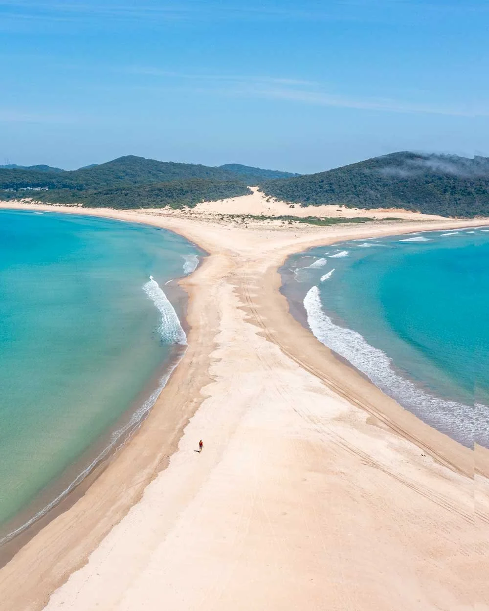
The right conditions to cross the spit
We didn’t realise that the spit would remain exposed for so long (far beyond even mid tide) and decided to go all in with safety first and also brought an inflatable kayak with us!
We later spoke to locals who said the sand bar was so wide at the moment that it would still be exposed 5 hours after low tide, but this will not always be the case, so you must plan your trip according to the conditions you have, or speak to knowledgable locals to help you plan.
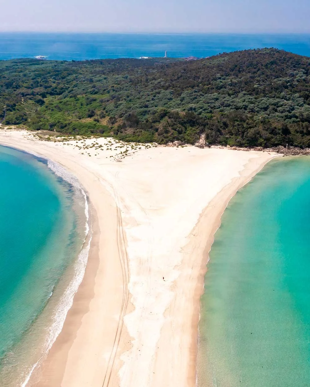
The required tide and swell
With all of this in mind - given most people will not know what conditions they will have ahead of time - we’d recommend reaching the spit 2 hours before low tide, but be prepared to wait (or abort) if water is still present.
What we didn’t realise the last couple of times we wanted to cross was that even from the initial part of the beach by the Surf Life Saving Club you can see the spit fully formed. This means you don’t have to walk across and wait for ages like we did only to realise you won’t be able to cross that day.
If you’re good to go, you’ll have several hours in which to explore the island before needing to cross back. Please remember if water is present on the spit for your return trip it is better to wait on the island for the next low tide than to risk crossing (as counter intuitive as this would feel at the time).
I would also only cross when the swell is marked as slight. You can see the 5 day tide and swell forecast here.
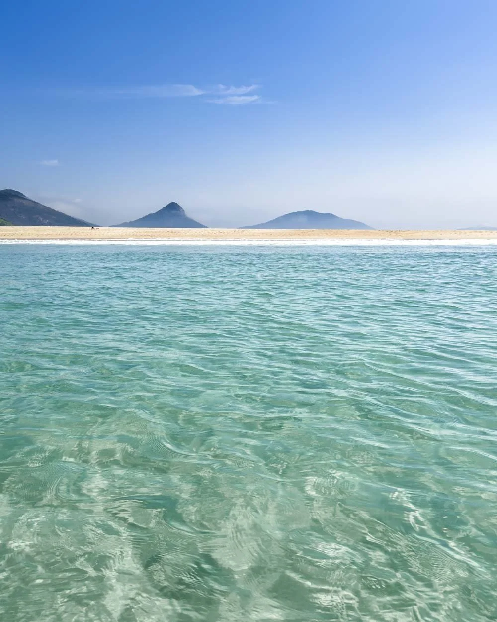
The Fingal Island Walk
The stats
Distance: 8.6km return inc all side trails (walk on the island is 4.2km)
Elevation gain: 110m
Difficulty: Easy
Trailhead: Fingal Beach Life Saving Club
Summary: Accessing Fingal Island involves walking for 1.5km along the beach and then crossing the sand bar (approx 700m).
From here if you only want to visit the lighthouse, main beaches and the rockpools in front of the lighthouse, the walk is all on maintained paths. There is a minor hill to climb, but the majority of the walk is flat.
Your biggest issue will be that there is next to no shade on the walk or at any of the points of interest along the way, so you definitely want to have some sun protection with you and much more water than you think you’ll need.
Starting the walk: along Fingal Bay and crossing the spit
The walk begins from the car park behind the Fingal Beach Surf Life Saving Club and you’ll head along the path and onto the beach. You should hopefully see the spit in the far distance as soon as you hit the sand.
Head left and walk across the sand for approximately 1.5km.
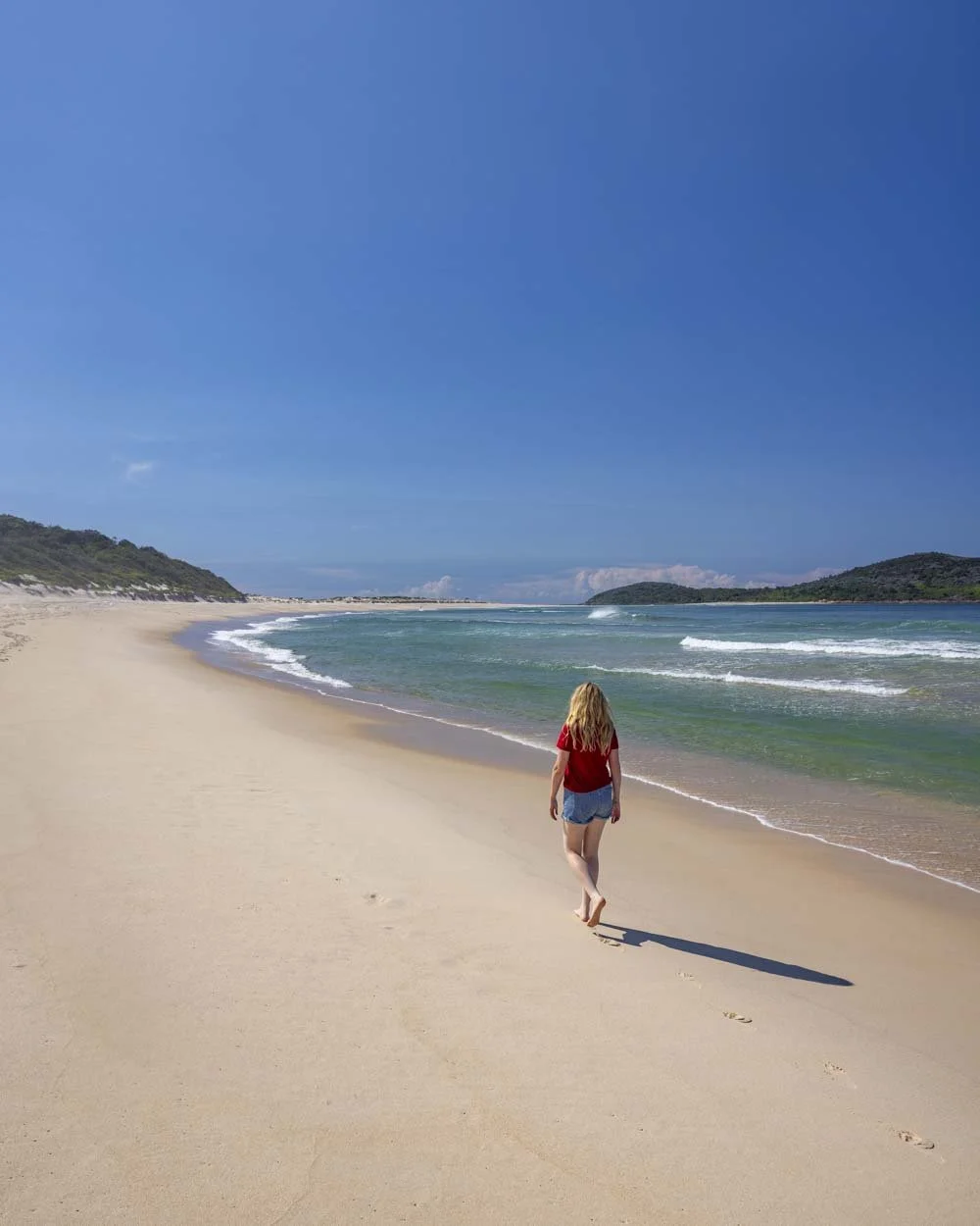
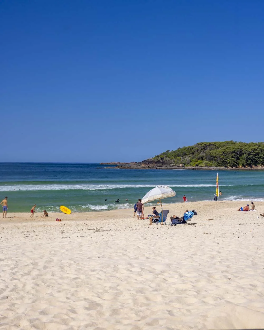
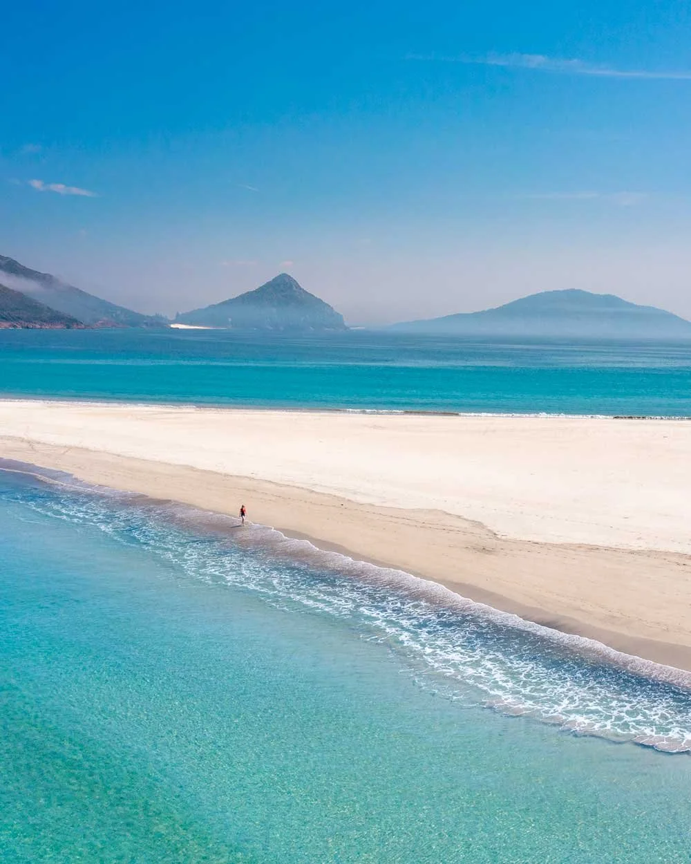
At this point you should see a lovely wide fully exposed sand bar with no water across it. The spit is approximately 700m long (all the way to the rocks on the far side of the beach) and is fun to cross with sublime views in both directions.
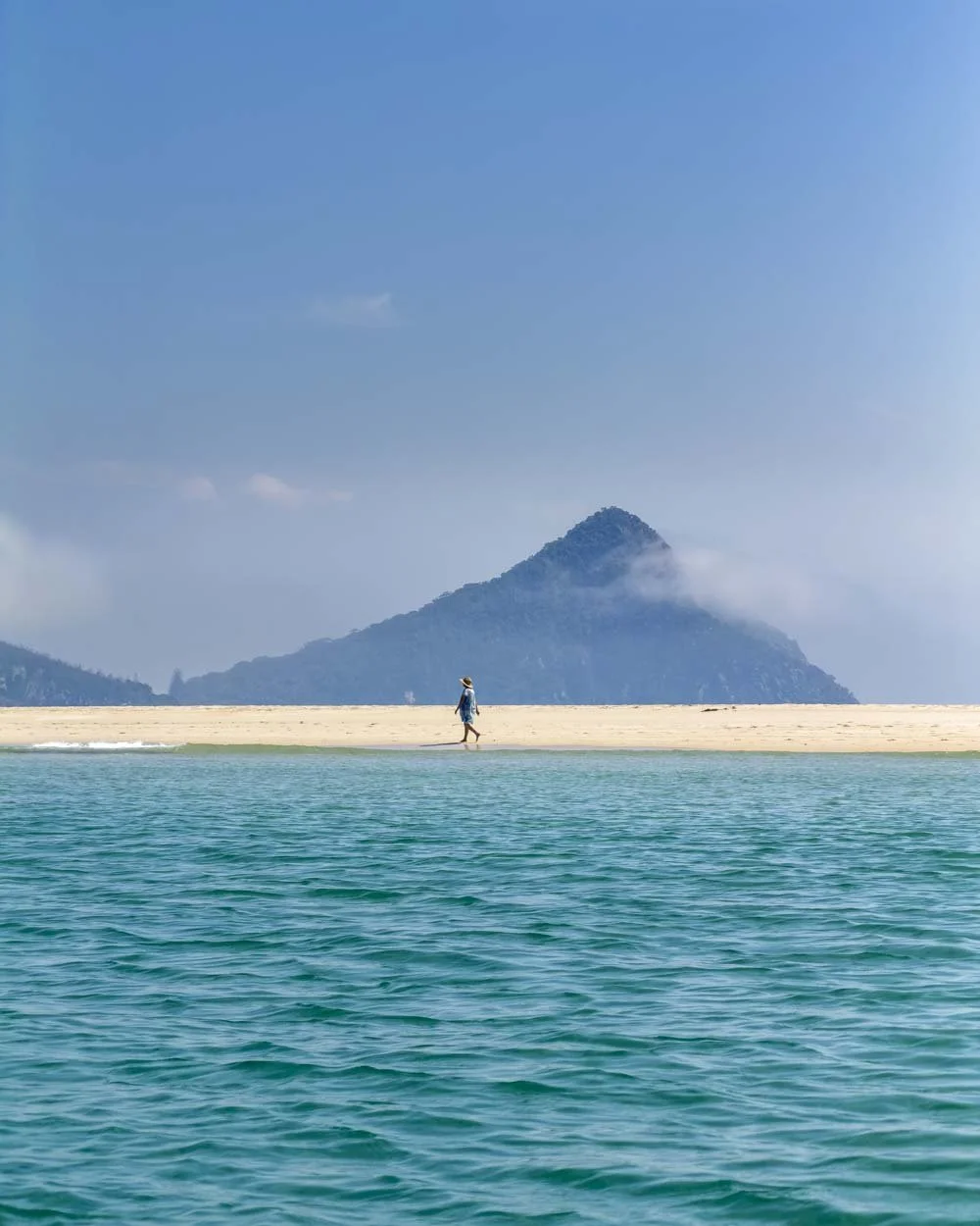
The water is turquoise and crystal clear and you’ll see the rugged headlands which bookend Zenith and Wreck beaches, as well as Stephens Peak.
There’s just something about crossing over to an uninhabited island that just feels exciting and I was already thinking about when we could come back again before we’d even left.
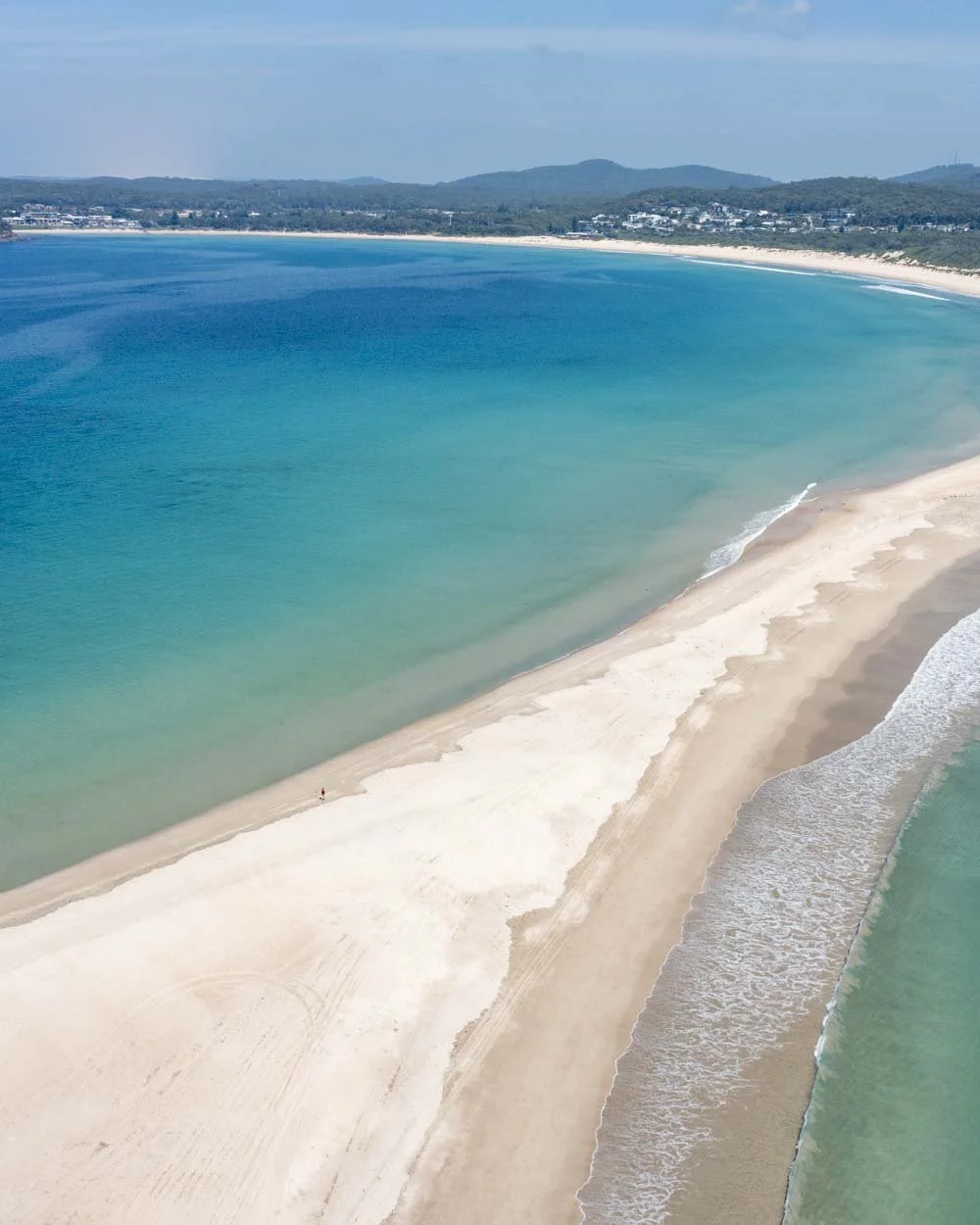
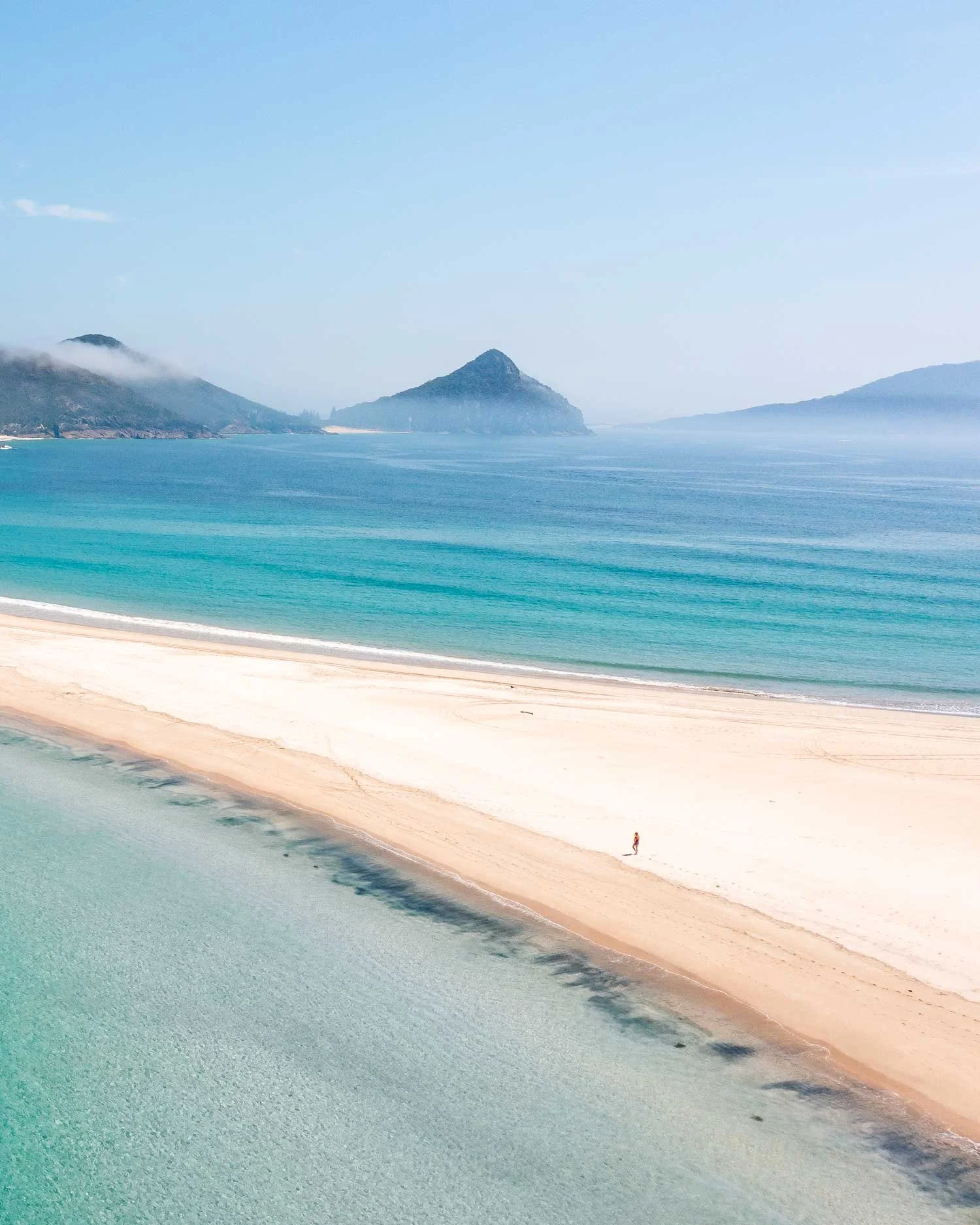
It only took me around 7 minutes to cross the spit and I was stopping to take photos and videos.
It took Joe much longer in the kayak as the currents are quite strong, so I’d only recommend the kayak option if you’re confident paddling with a strong current.
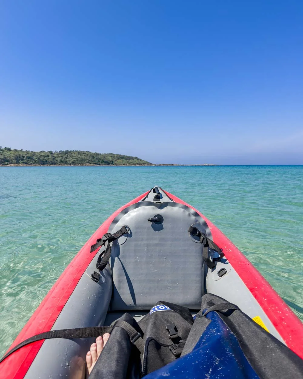
Arriving on Fingal Island
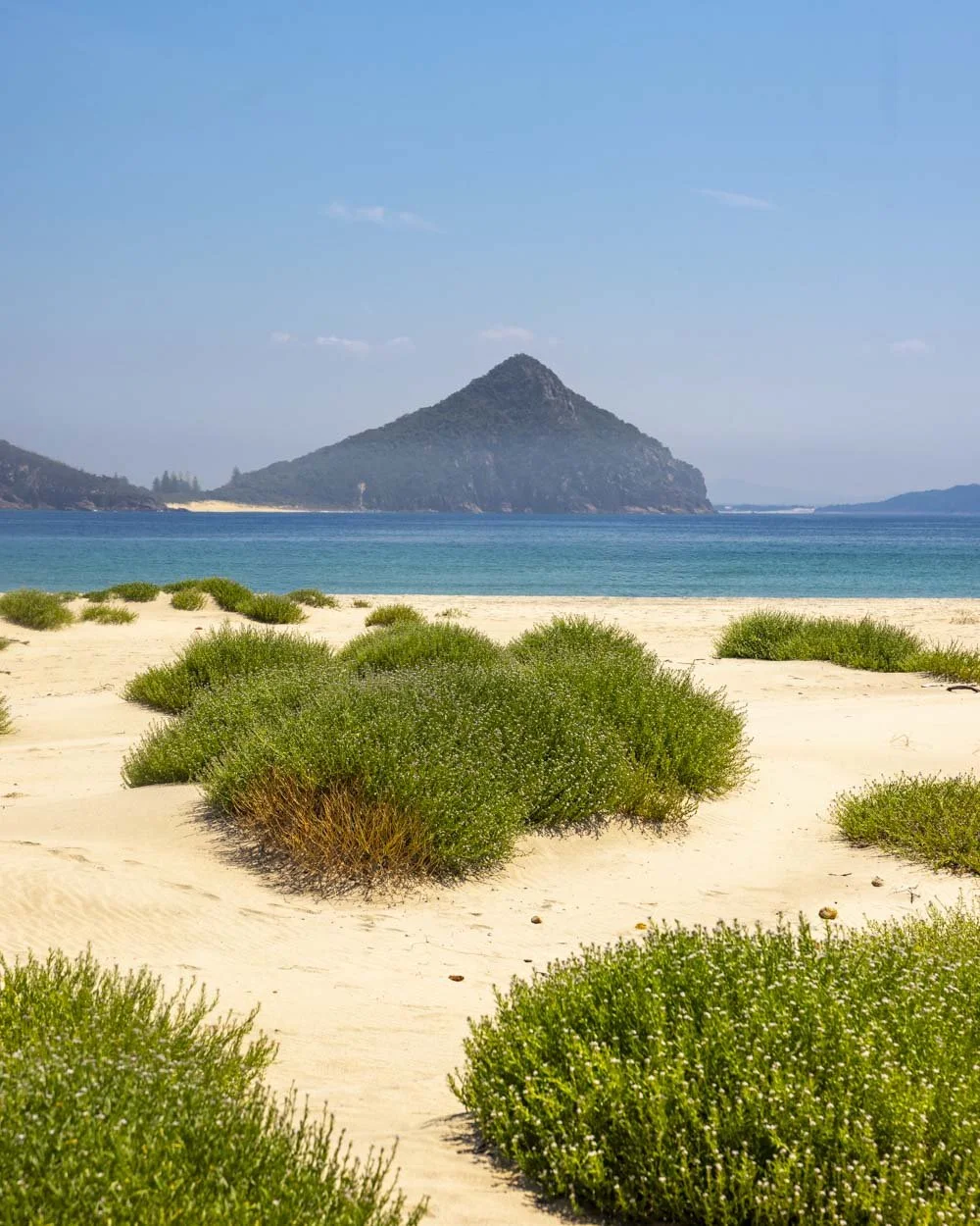
The beach across from the spit is gorgeous and has a wild feel with desert like shrubs growing at the back of the beach towards the cliff line.
There is, however, no shade at all, even the rocks didn’t provide any respite from the scorching sun so definitely bear that in mind if you’re coming on a steamy hot summer’s day as we did!
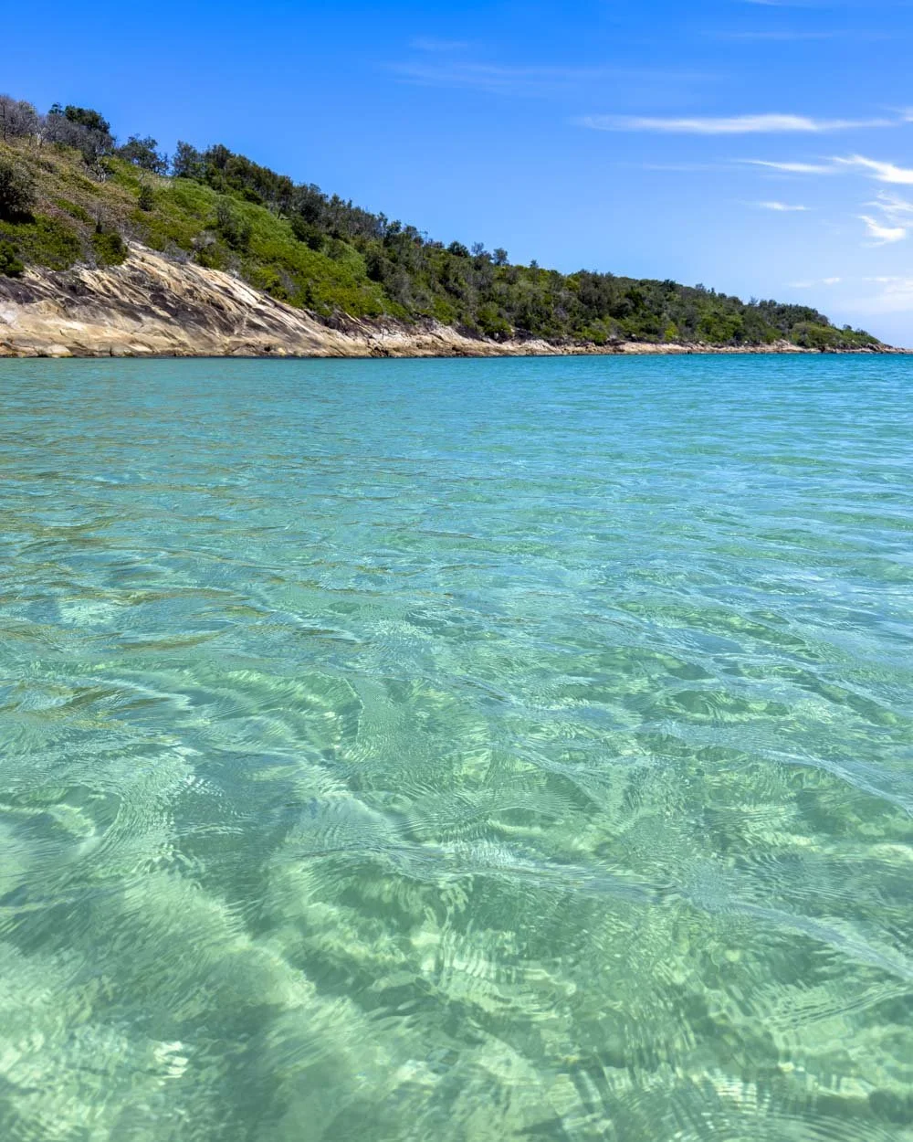
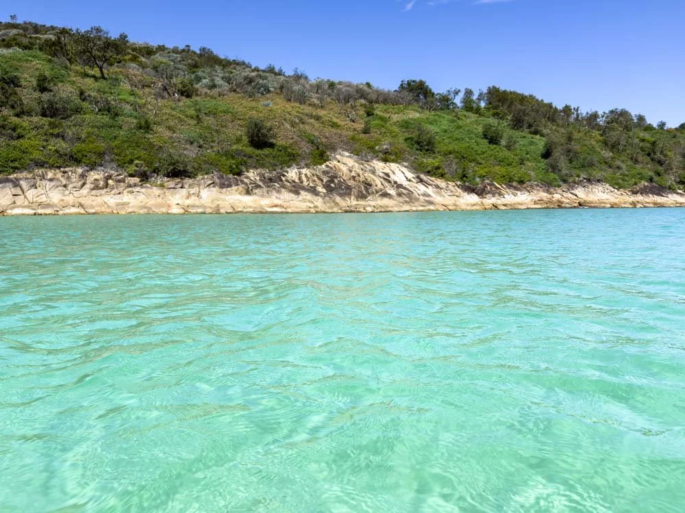
The water at the far left side of the beach when looking back over the spit (towards Fingal Bay) is utterly delightful. The colour was so spectacular that I must have said wow about 20 times!
It’s extremely clear and on our visit calm and great for swimming.
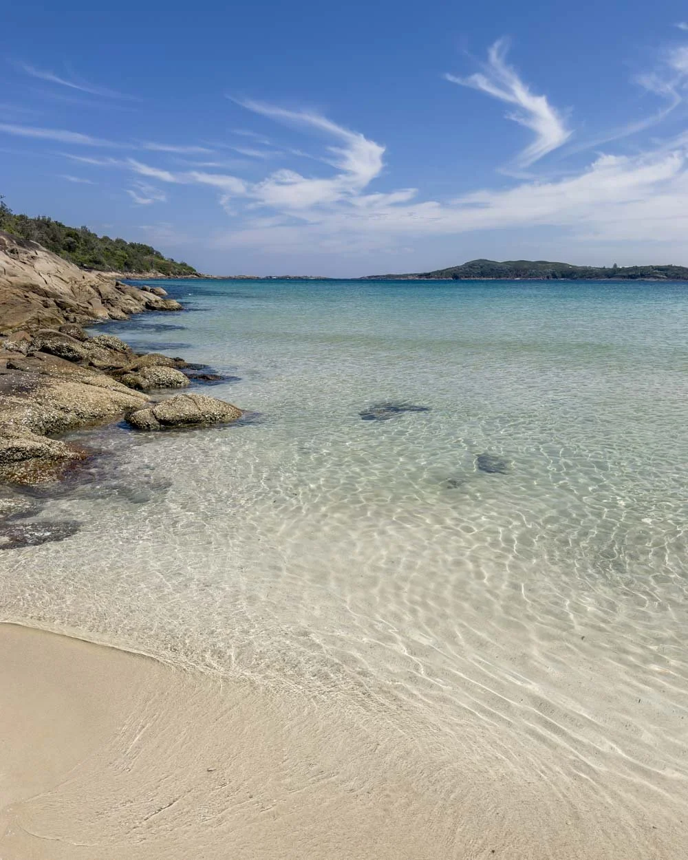
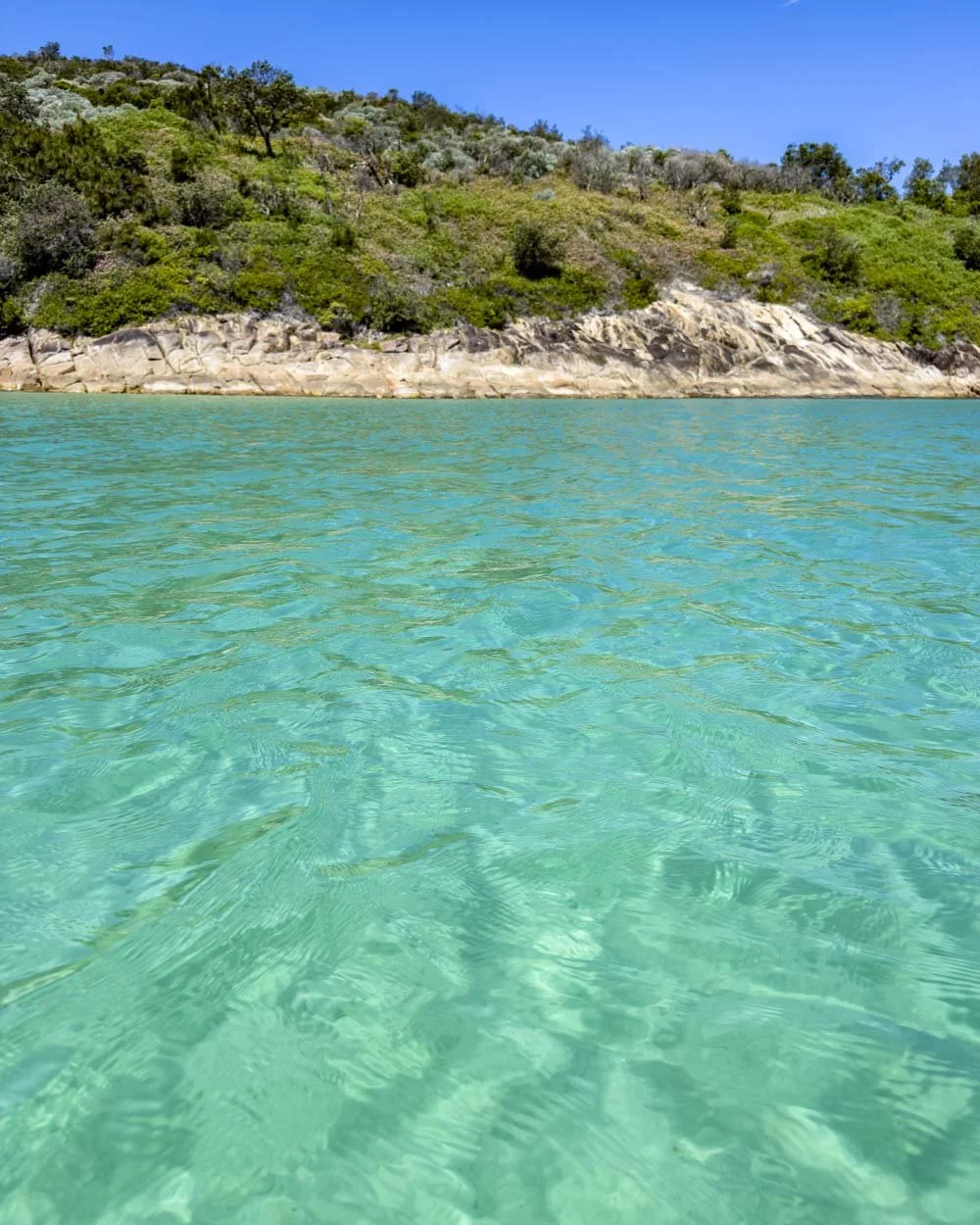
However, this area is known for strong currents and as mentioned people have sadly lost their lives here, so you should be mindful and stick to the shallows.
Heading up to Port Stephens Lighthouse
The trail to the lighthouse is signposted and begins at the far eastern end of the beach (the left side as you cross the spit, facing the island).
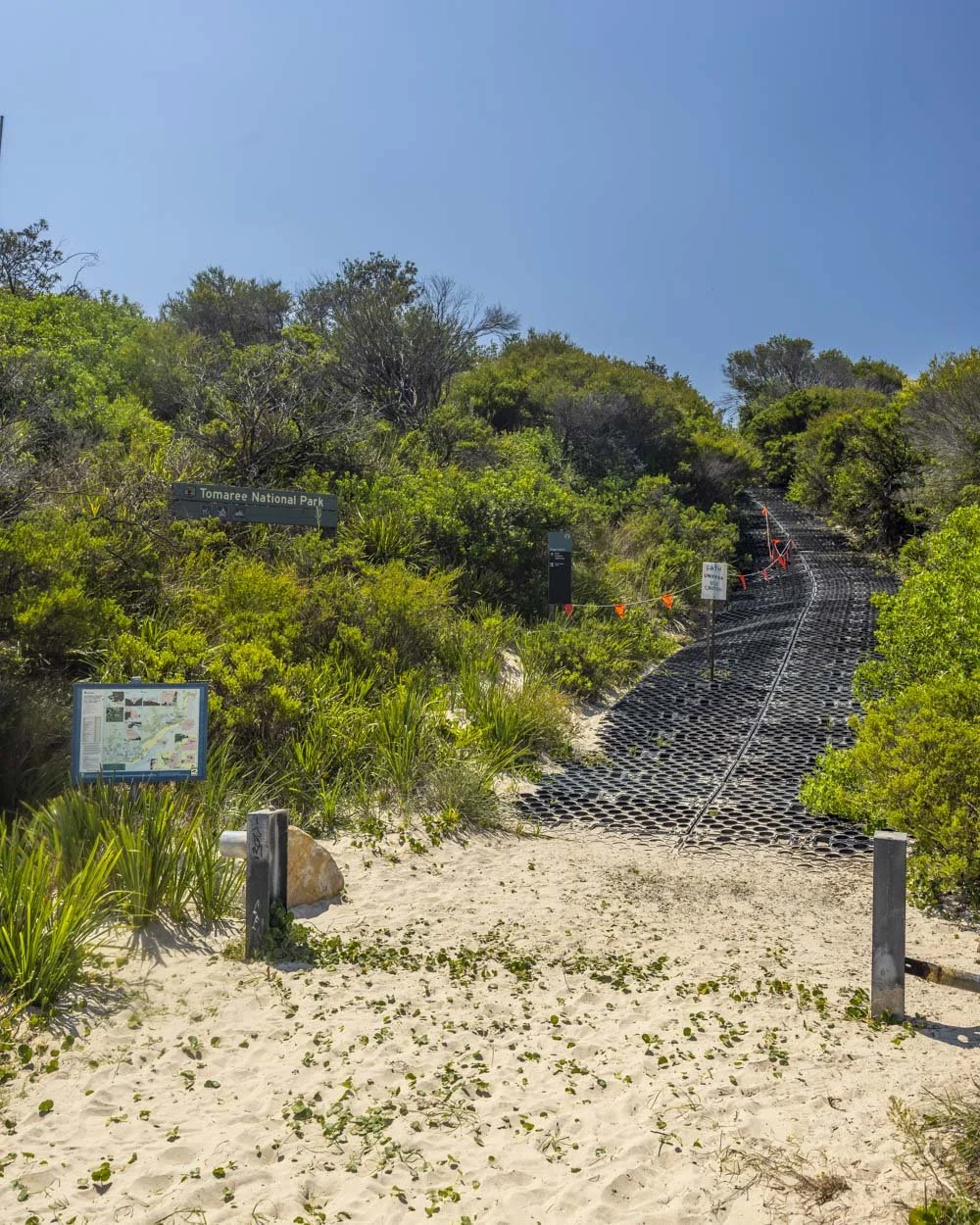
There’s a brief steep climb of 50m before the path flattens. The climb is on grippy plastic matting, which makes it quite easy. After this the well maintained grassy track is leisurely all the way to the lighthouse.
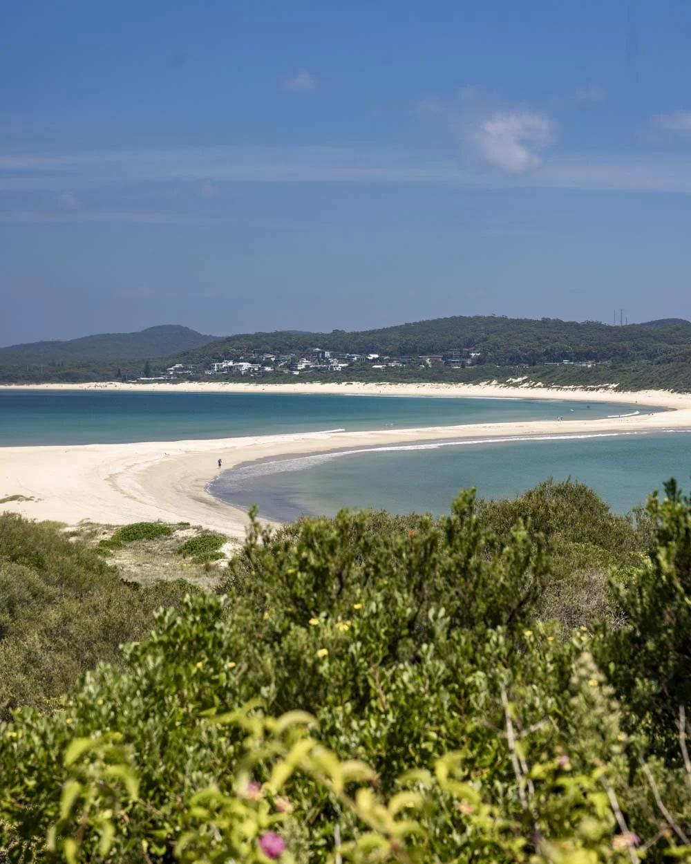
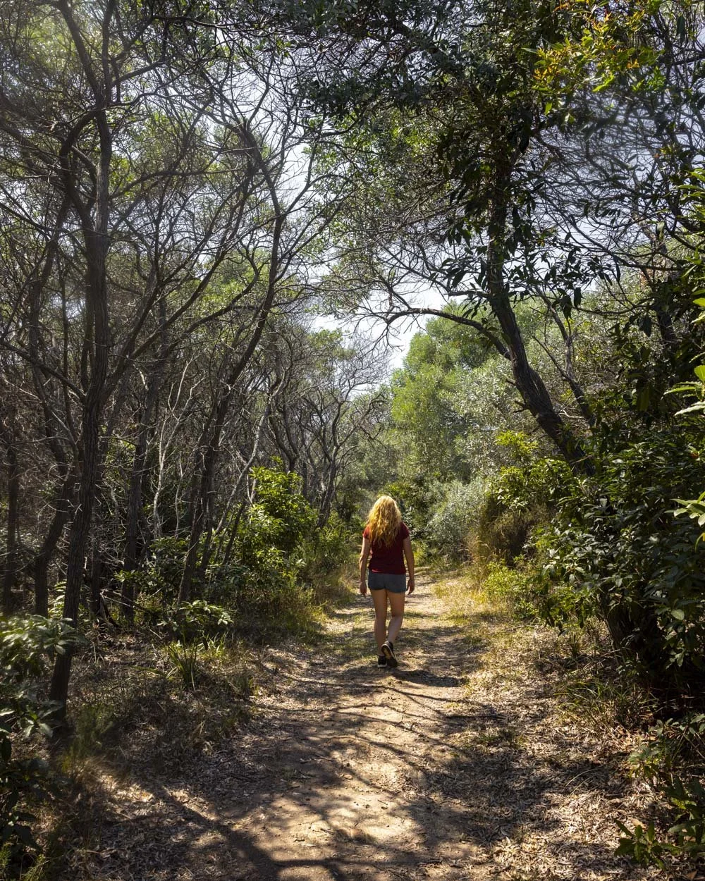
There’s a great view back over the spit quite early on and though there are no more views for the majority of the walk, it’s a pretty area full of butterflies and little wildflowers.

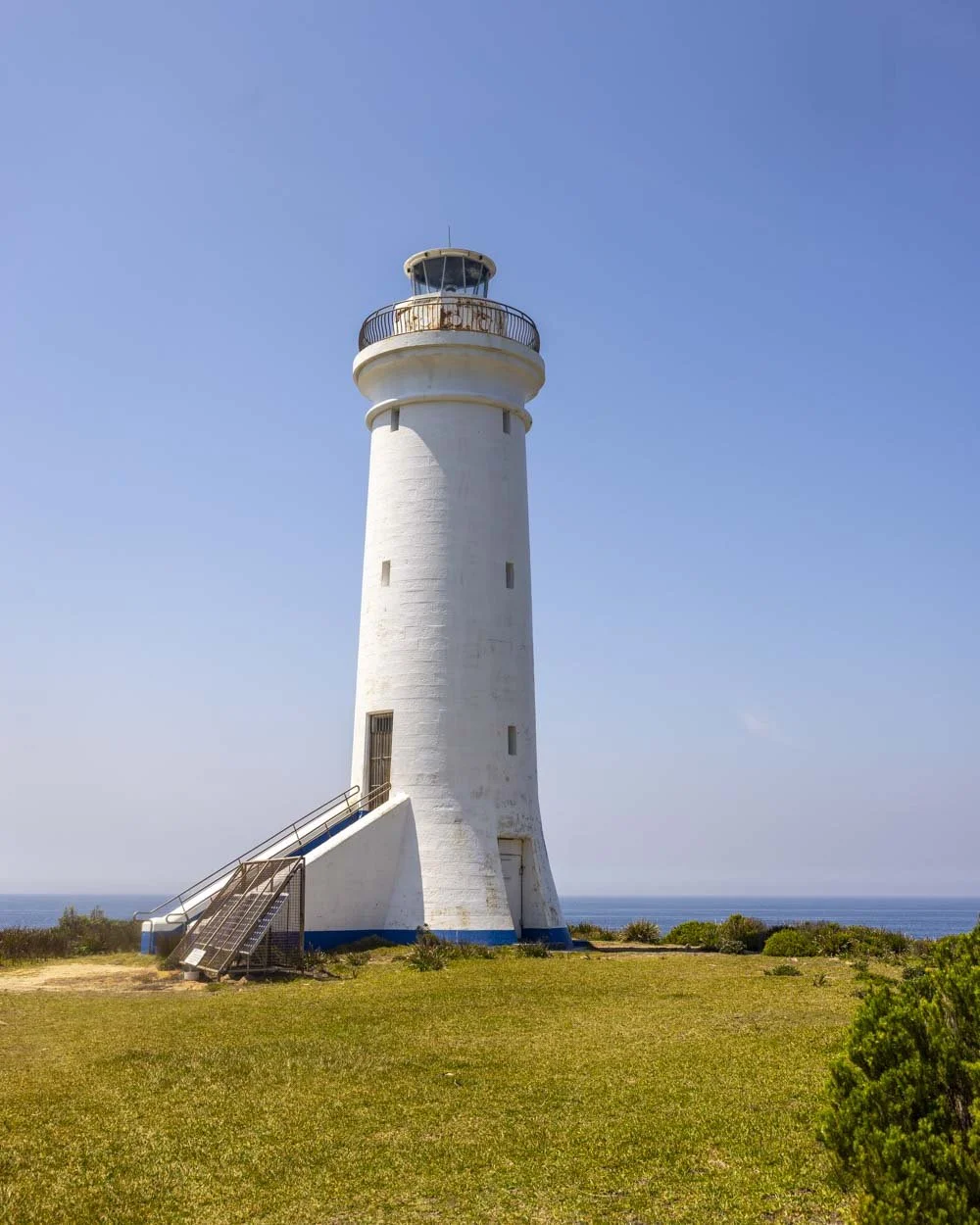
There’s a brief forested section but most of the walk is exposed to the sun. After 850m you’ll get your first glimpse of the lighthouse, built in 1862, which you’ll reach 300m later (it’s just over a 1.1km walk from the beach).
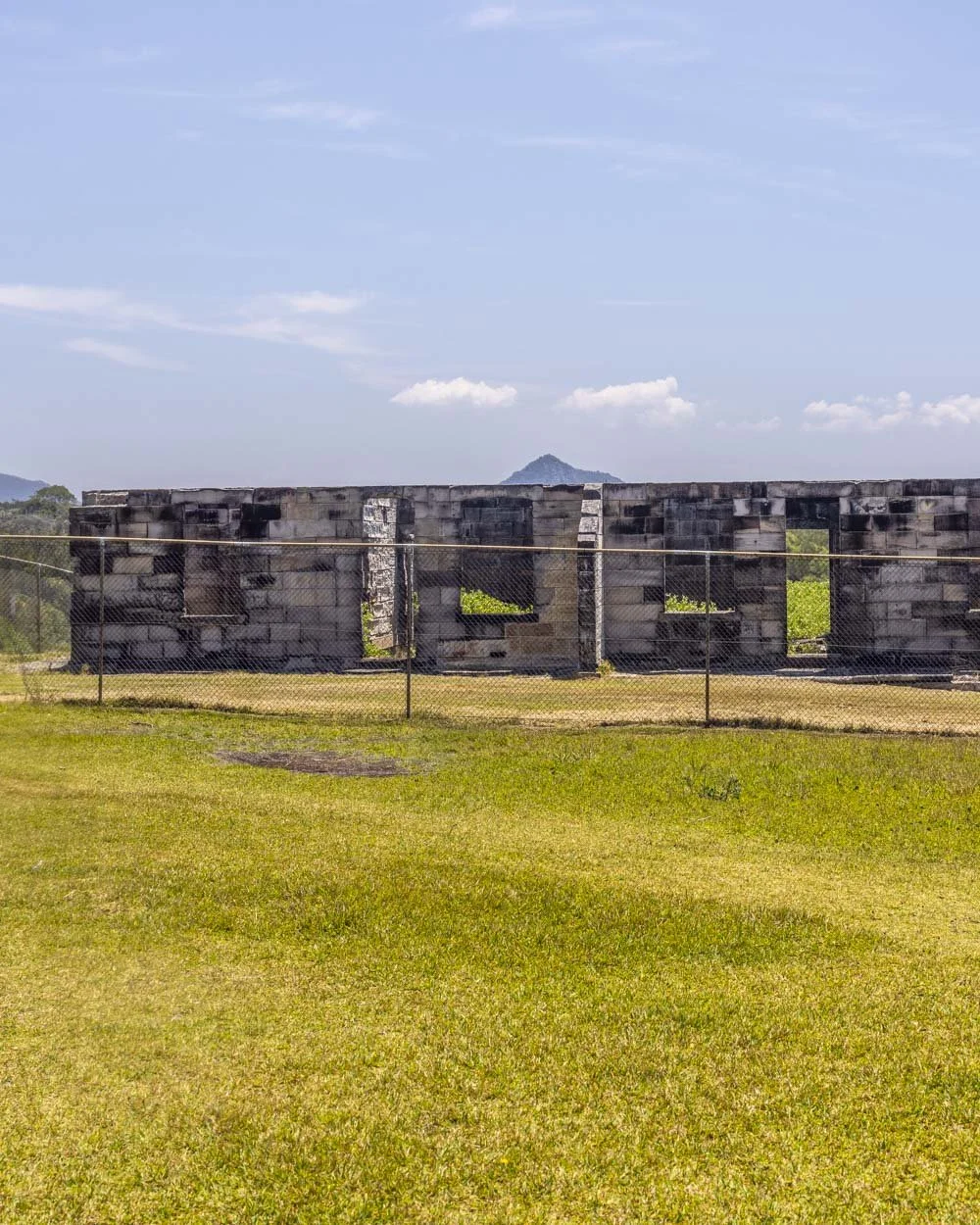
You’ll pass the lighthouse keepers cottages which are sadly now a ruin following a fire in 1991.
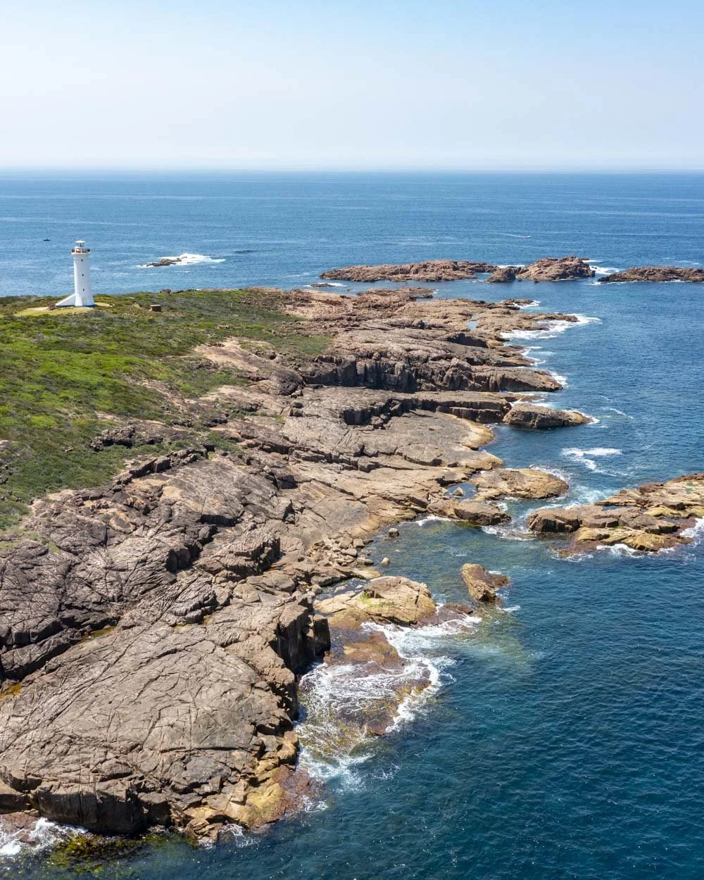
You can’t go inside the lighthouse but it does have lovely ocean views and it would make a great whale watching spot in season.
The lighthouse rockpools
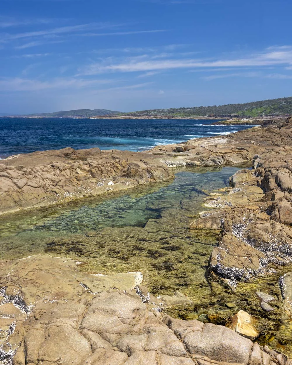
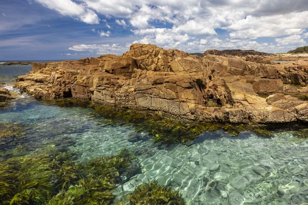
From the lighthouse you can look down to the ocean and you will see a series of small rockpools. They are far from the best in Port Stephens but they are pretty and perfect for cooling off on a hot day.
They should be nicely accessible a couple of hours either side of low tide and with a slight swell. The main rockpool is 250m from the lighthouse.
Follow the trail to the little hut type structure you can see ahead, it’s 20m away. From here there is a narrow but well worn path leading downhill towards the rock platform.
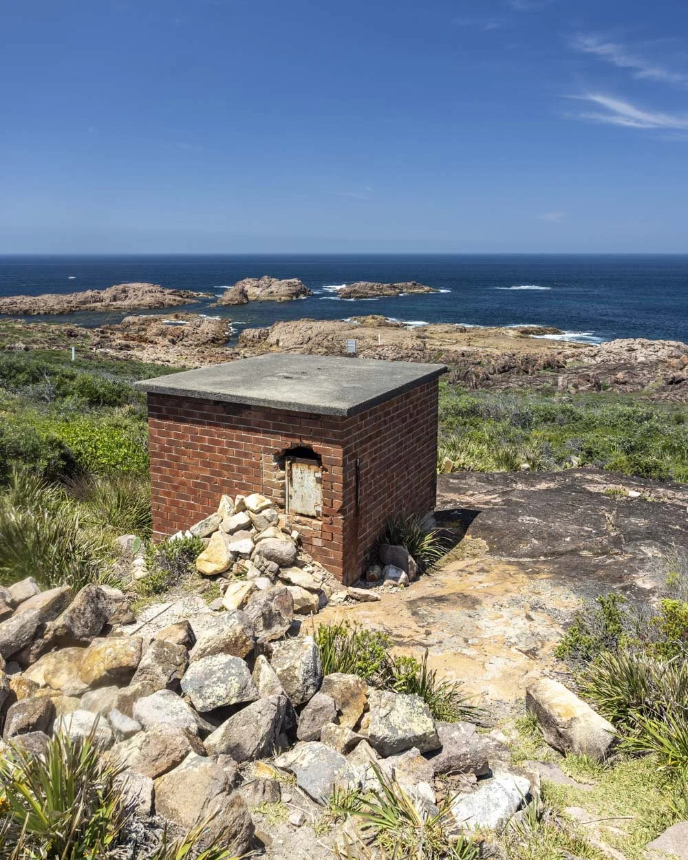
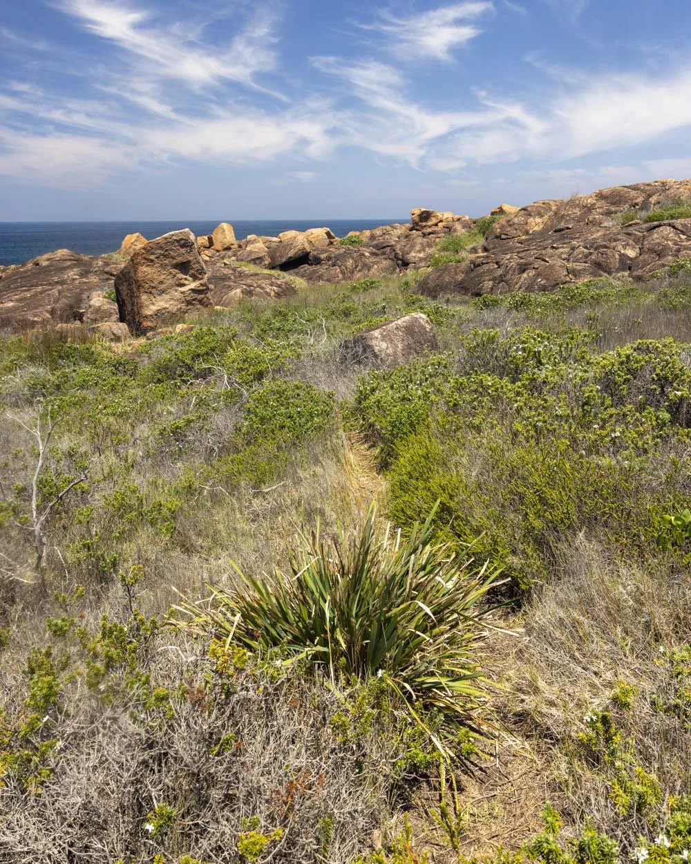
You’ll reach the rocks 130m after passing the ‘hut’. The larger rockpool is 100m away and it’s a rock hop from here. Pick your way down towards the ocean following the path of least resistance.
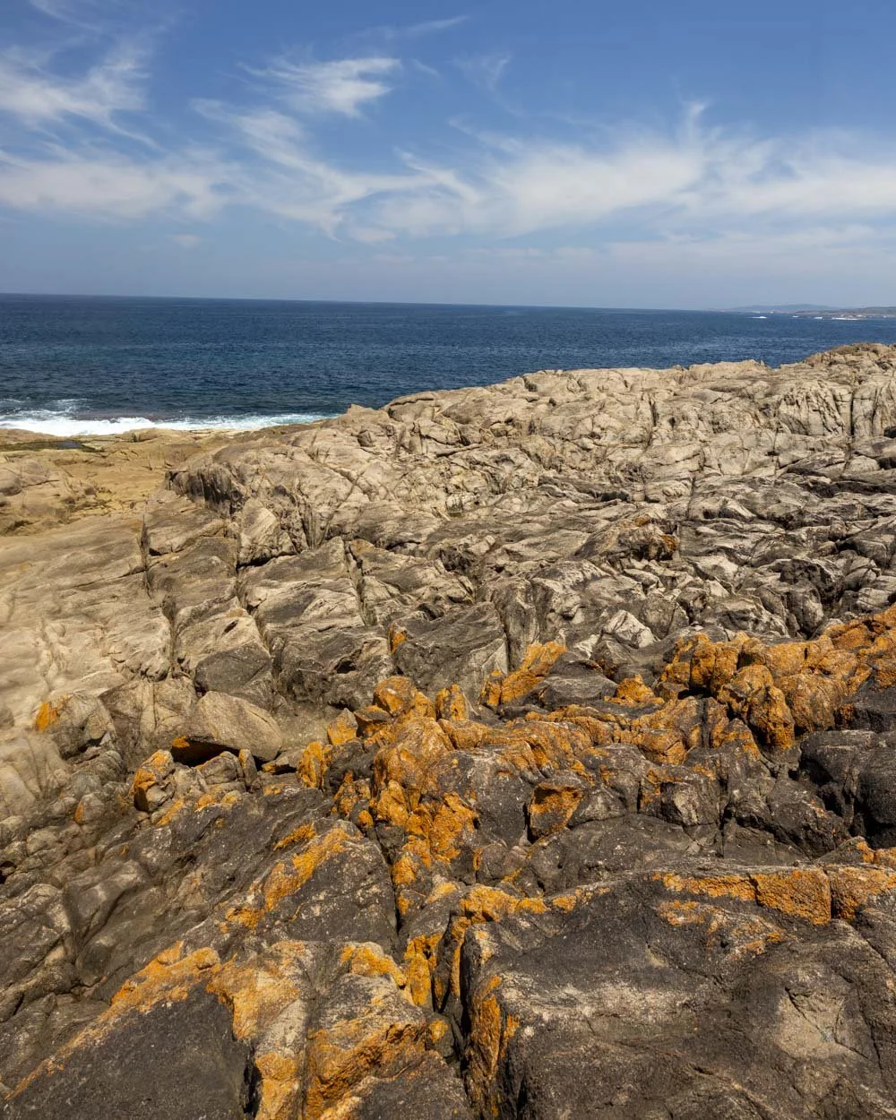
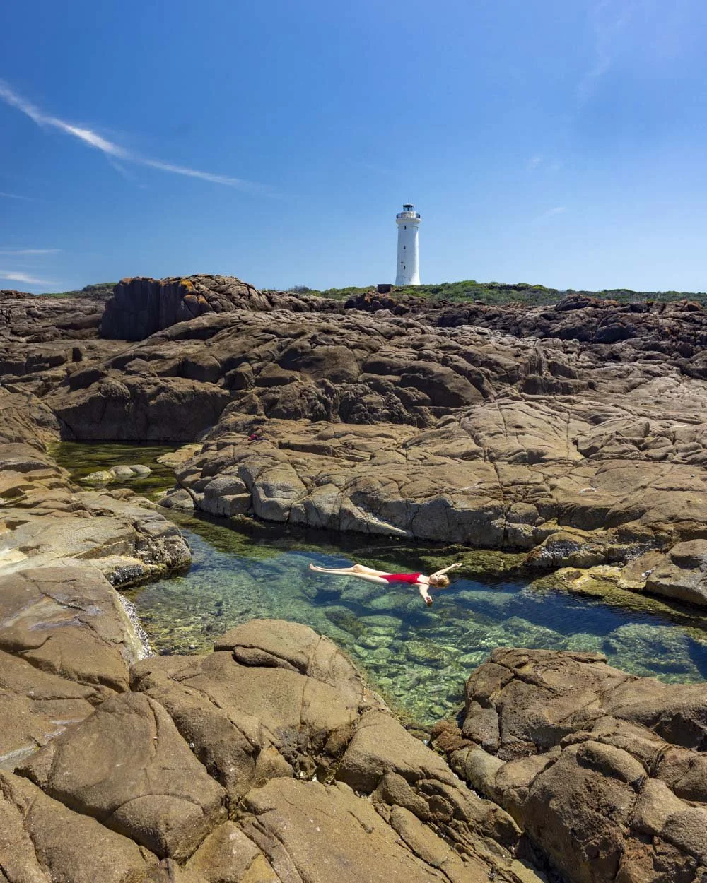
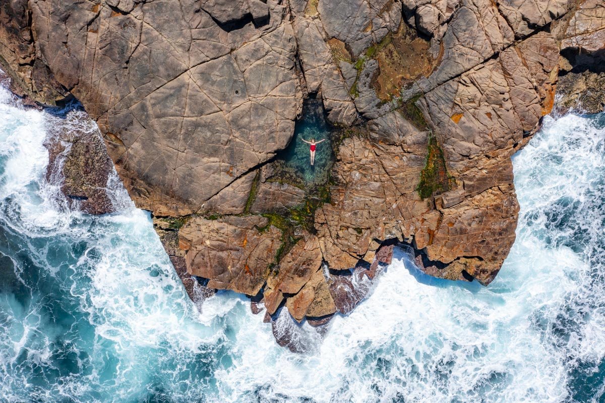
There are several rockpools, but only one is big enough to ‘swim’, though even this one is more of a floating experience.
As with any rockpool rogue waves could enter the pool at any time but your risk should be greatly mitigated by having chosen a calm, low swell day to visit the island.
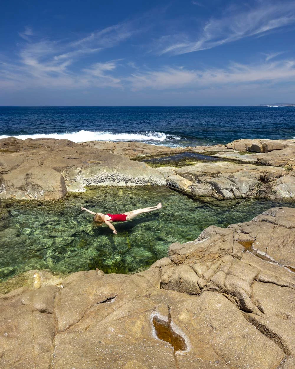
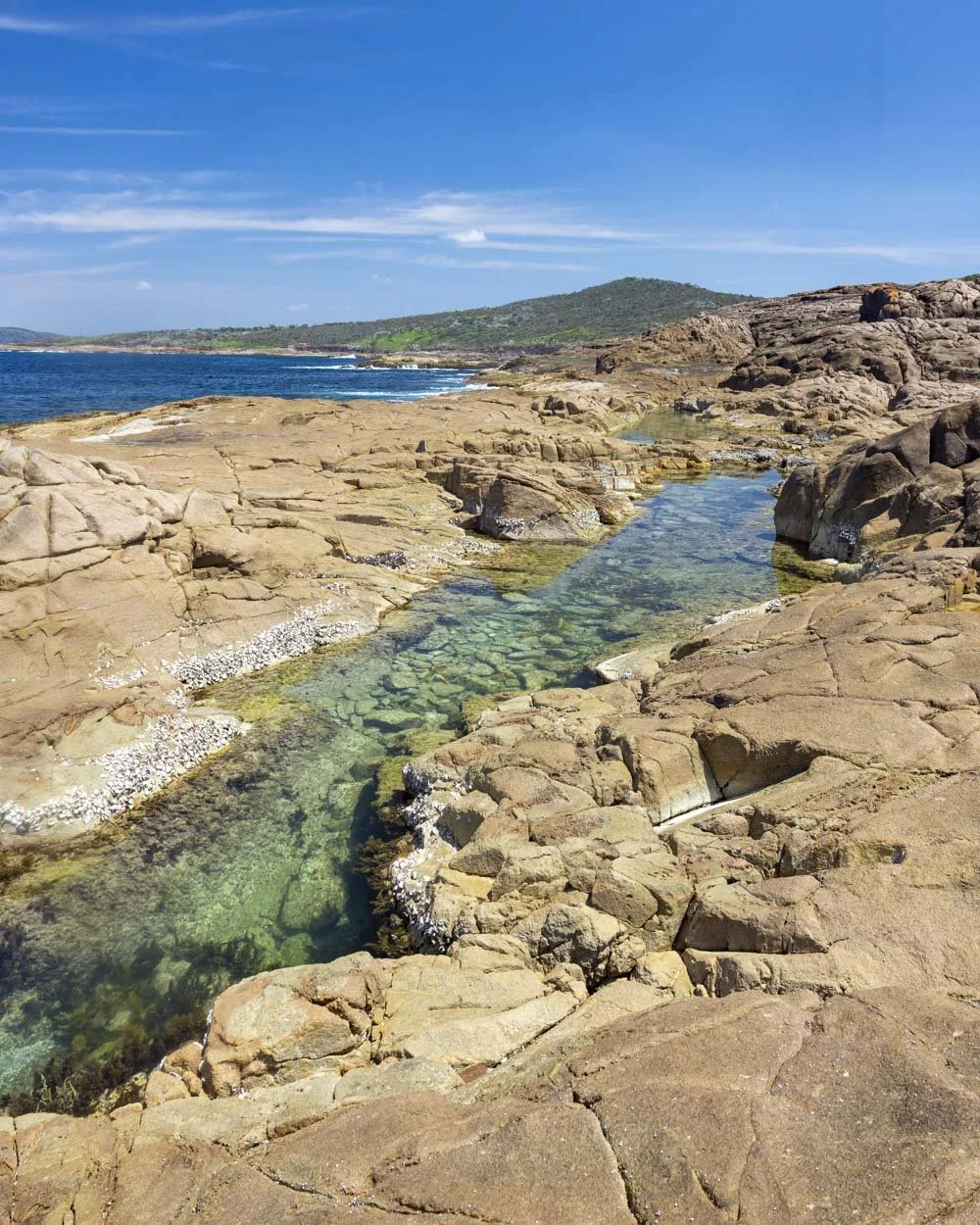
Getitng into the rockpool is easy as you can step down into shallow water. It’s deep enough to float to your heart’s content but harder to swim as there are rocks inside the pool.
My favourite aspect was that you could see the lighthouse peeking out from inside the water which was fun.
As mentioned, there are smaller pools along the rock shelf and some pretty coves. I would not recommend swimming in any of the coves.
We had glorious conditions and I still saw large waves enter the coves at various intervals. They look so inviting when the water is calm but it’s absolutely not worth the risk.
To the beach and cove
After enjoying the lighthouse and rockpools, you can make a couple of good diversions on the way back to the spit.
Continue back along the main path and 600m after leaving the lighthouse look for the worn path on your right.
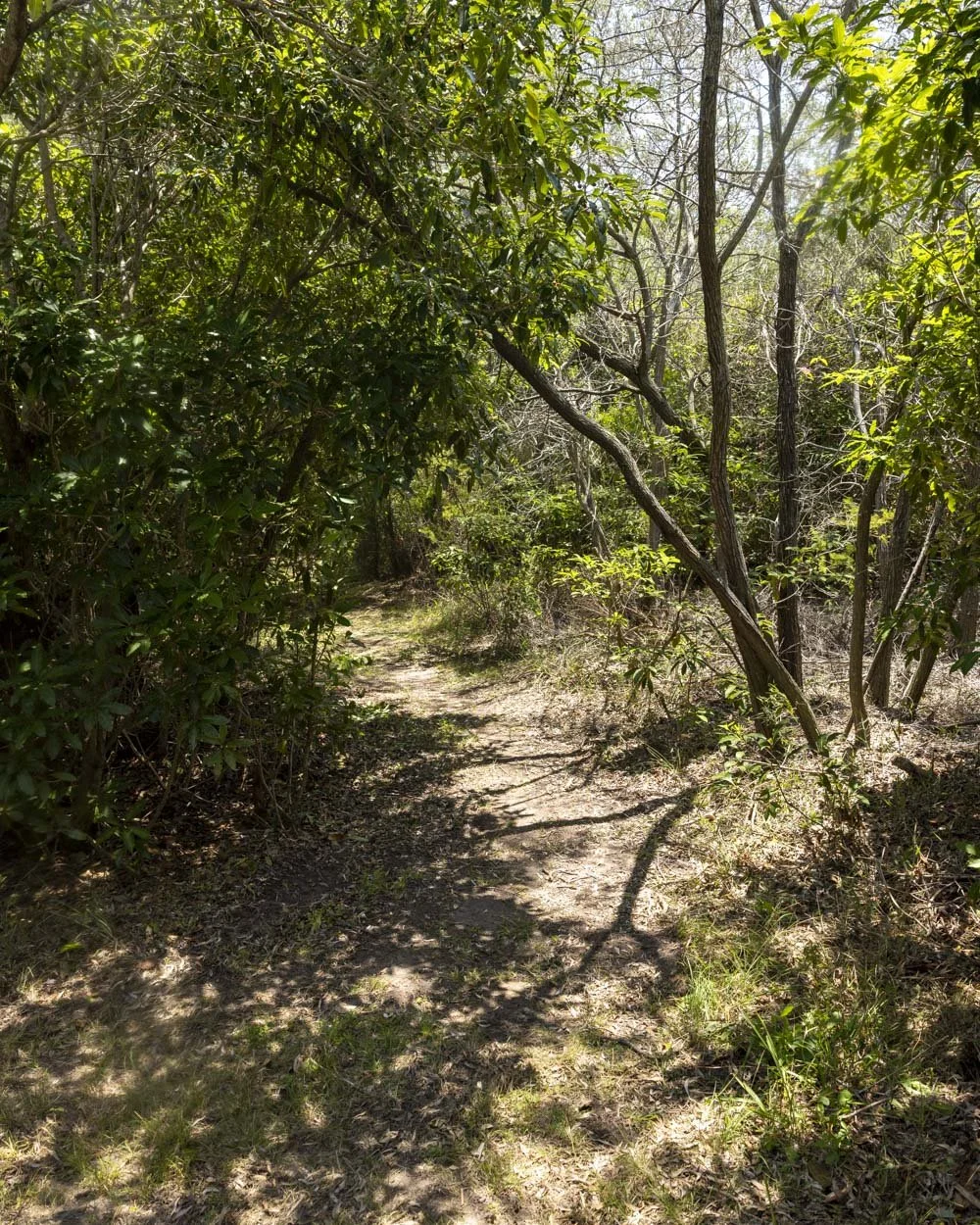
It leads gently downhill to a fork 200m later. Head right and then right again at the next fork 100m further on. You’re now 130m from Shell Beach.
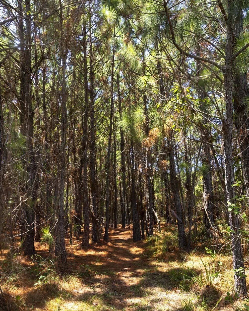
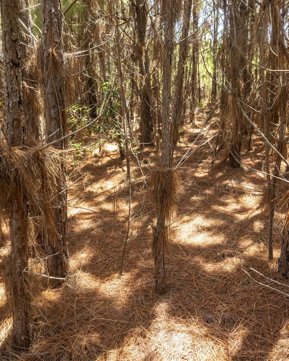
The track is maintained the whole way and even passes through a little pine forest.
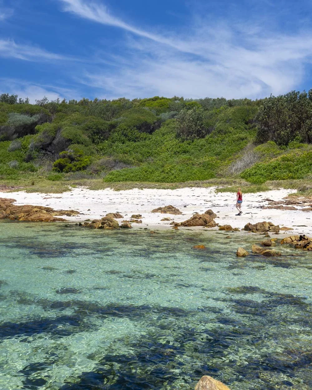
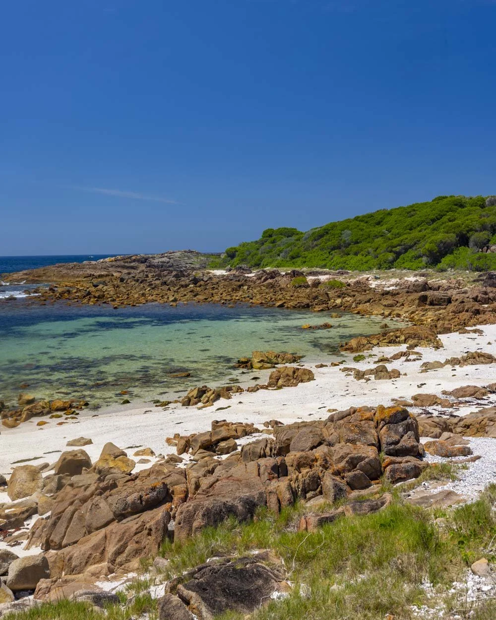
The beach you arrive at is a stunner. The sand is pristine and the water turquoise.
The bay is very shallow, but it’s great for lazing around on and makes for a gorgeous secluded spot to while away some time. It reminded me a bit of Jervis Bay and was completely unexpected as we’d never even heard of it before.
Once you’ve enjoyed the beach you head back the way you came, but when you get back to the first fork (first from the main trail, so second fork when walking back from the beach) you take the opposite path.
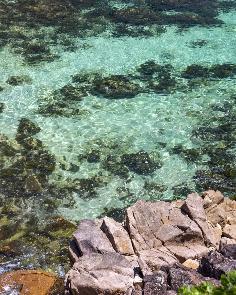
There is a beautiful cove 100m away, the last part down to it is a paved boat ramp, though it doesn’t go the whole way down. It’s been damaged and the final section is a rocky scramble if you want to go for a dip.
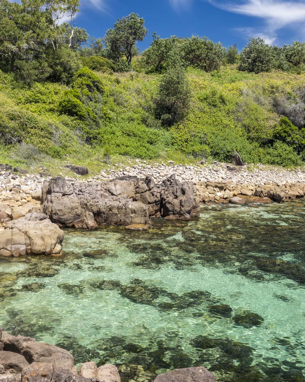
The water colour is aquamarine, much like Rocky Cauldron, but alas was suffering from weed on our visit. It was still beautiful to look at, but I’m saving a swim here for next visit when hopefully the weed will have dissipated.
After checking out the cove, you retrace your steps back up to the main trail and follow it back to the spit.
Parking for the Fingal Island Walk
The closest car park to Fingal Bay, where the walk begins, is behind the Surf Life Saving Club, you can see it on Google maps here. However, this is paid parking with a 4 hour time limit.
Four hours will be more than enough time for most visits but if you think you might be longer you’ll need to park a few streets back where parking is not restricted. If you don’t use the car park please remember to park respectfully on the residential roads.
Fingal Bay is around a 10 minute drive from Nelson Bay.
This post may contain affiliate links, meaning at no additional cost to you, that we will earn a small commission if you click through and decide to make a purchase. This helps towards the costs of running our website. Thanks for your support.




The complete guide to the Port Stephens Sand Dunes, one of the must-see places in New South Wales. We’ll tell you about the best things to do independently, the tours that operate, handy insider tips, how to get to the dunes and everything you need to know to have a truly memorable trip.