
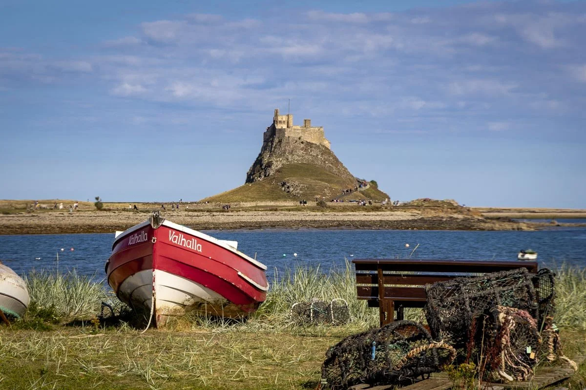
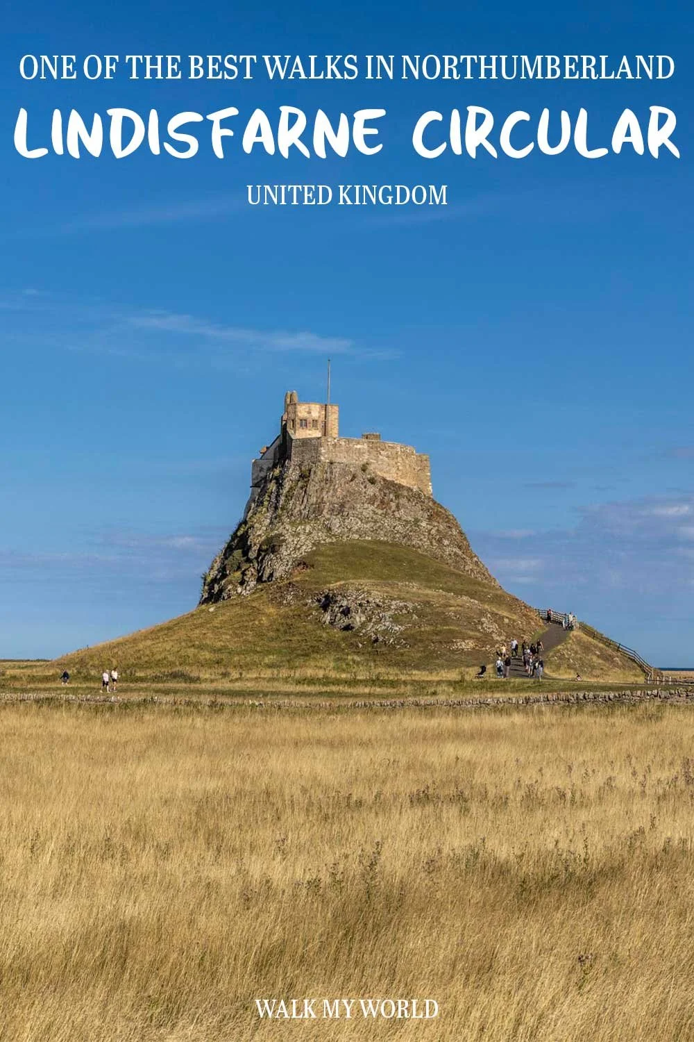
This circular route around Holy Island (Lindisfarne) is one of the best easy walks in Northumberland. It takes in a photogenic castle, old priory, quiet beaches and endless sea views. The fact it is almost entirely flat makes it perfect for when you fancy a leisurely walk but still want to get a little bit of distance in.
There are also opportunities to shorten the trail if preferred.
Here’s everything you need to know about the Holy Island Circular Walk.
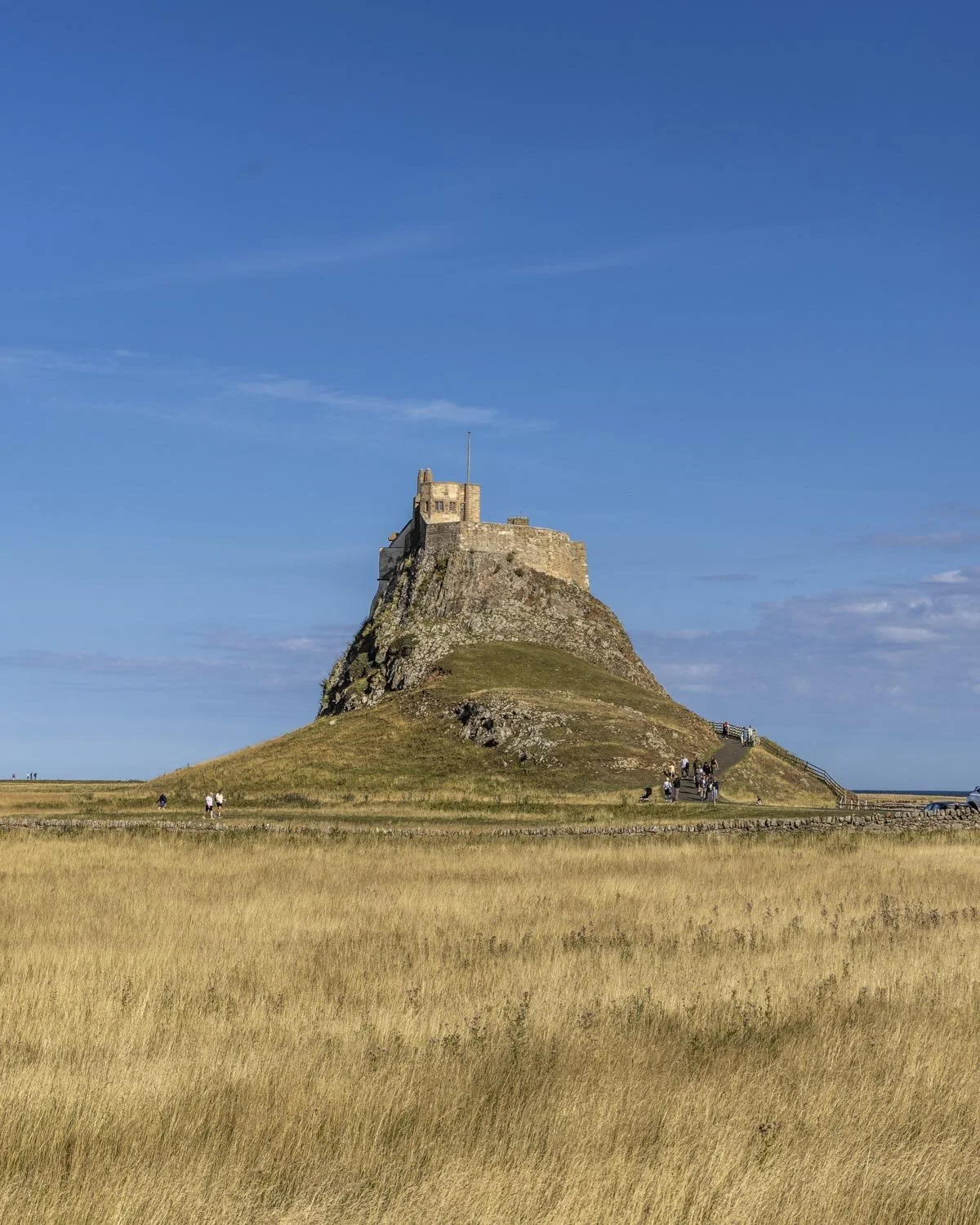
Know before you go - accessing Holy Island is subject to the tides
To reach Holy Island you need to drive along a tidal causeway. It’s a paved road but it’s only accessible for part of the day, generally speaking that’s for around 8 hours at a time, so it’s not hugely restrictive. You can see the exact times it’s safe to cross the causeway on this website which takes any ambiguity out of it and makes planning your walk very straightforward.
You can walk across the causeway (the Pilgrim’s Way) but it’s a long walk (around 3 miles each way) and mainly along mud flats following the large wooden markers. The safe crossing details in the link above relate to driving only, walking has to be done much closer to the low tide and requires more consideration.
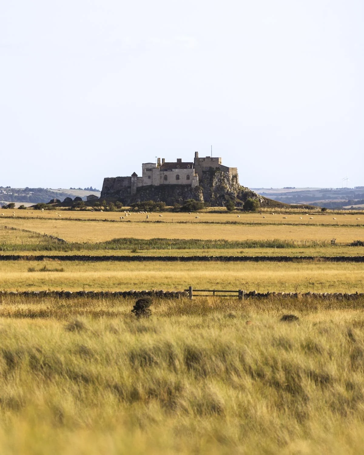
The Holy Island (Lindisfarne) Circular Walk
The stats
Distance: 5.2 mile (8.4km) circuit
Elevation gain: 165m
Difficulty: Easy
Trailhead: Holy Island Chare Ends Car Park
Summary: This circular route around Holy Island has a few small hills to climb, but most of the walk is flat.
The track conditions are generally very good, though some sections are sandy and one stretch has some very long grass which is better done in trousers than shorts (much of this section can be avoided if you walk along the beaches instead).
If you wanted to complete a shorter loop you would follow the directions below, but after visiting the castle head back to the car park creating a lovely short walk with a good track throughout.
Starting the trail: to the priory
From the main Lindisfarne car park you head left and walk towards the village. You’re heading first for the priory, which is 515m from the car park (heading straight and then right, following the signposts).
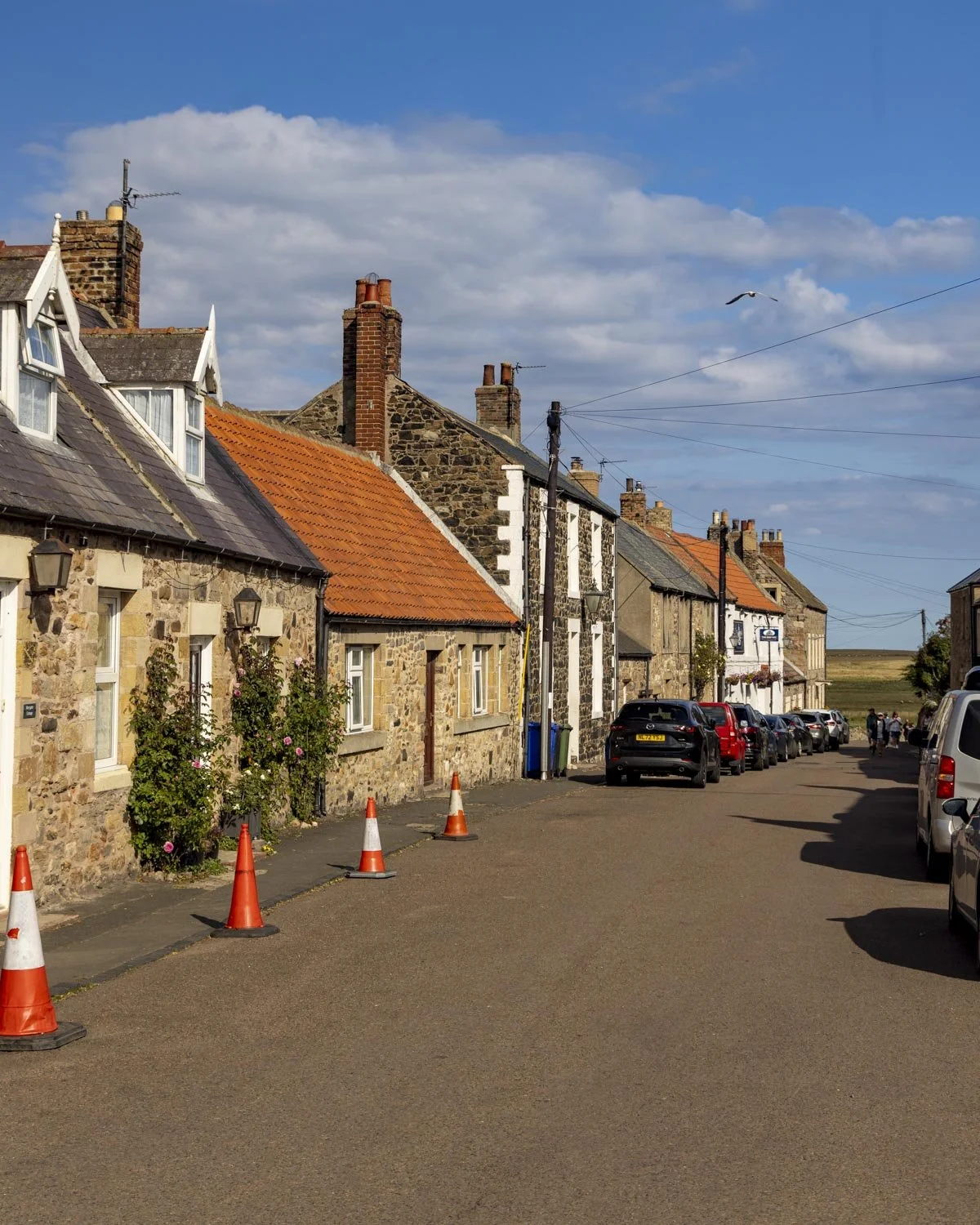
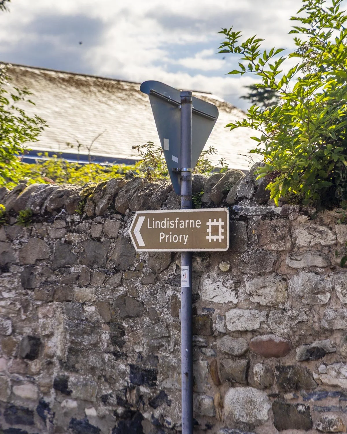
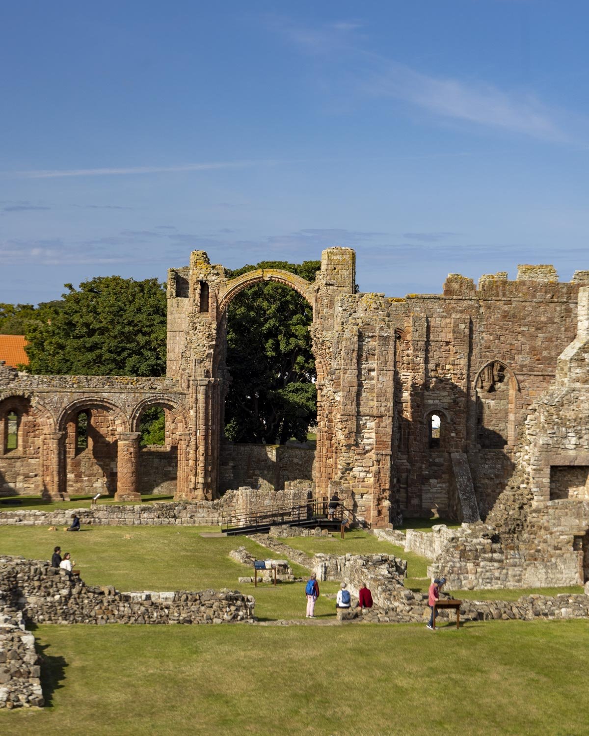
The 12th century priory is managed by English Heritage and costs £11 for an adult ticket. If you’re super keen or a member then it would be worth factoring in some time to look around, but in honesty the views from the walk are fabulous and mean you don’t need to pay the entry fee to get a good look at the priory.
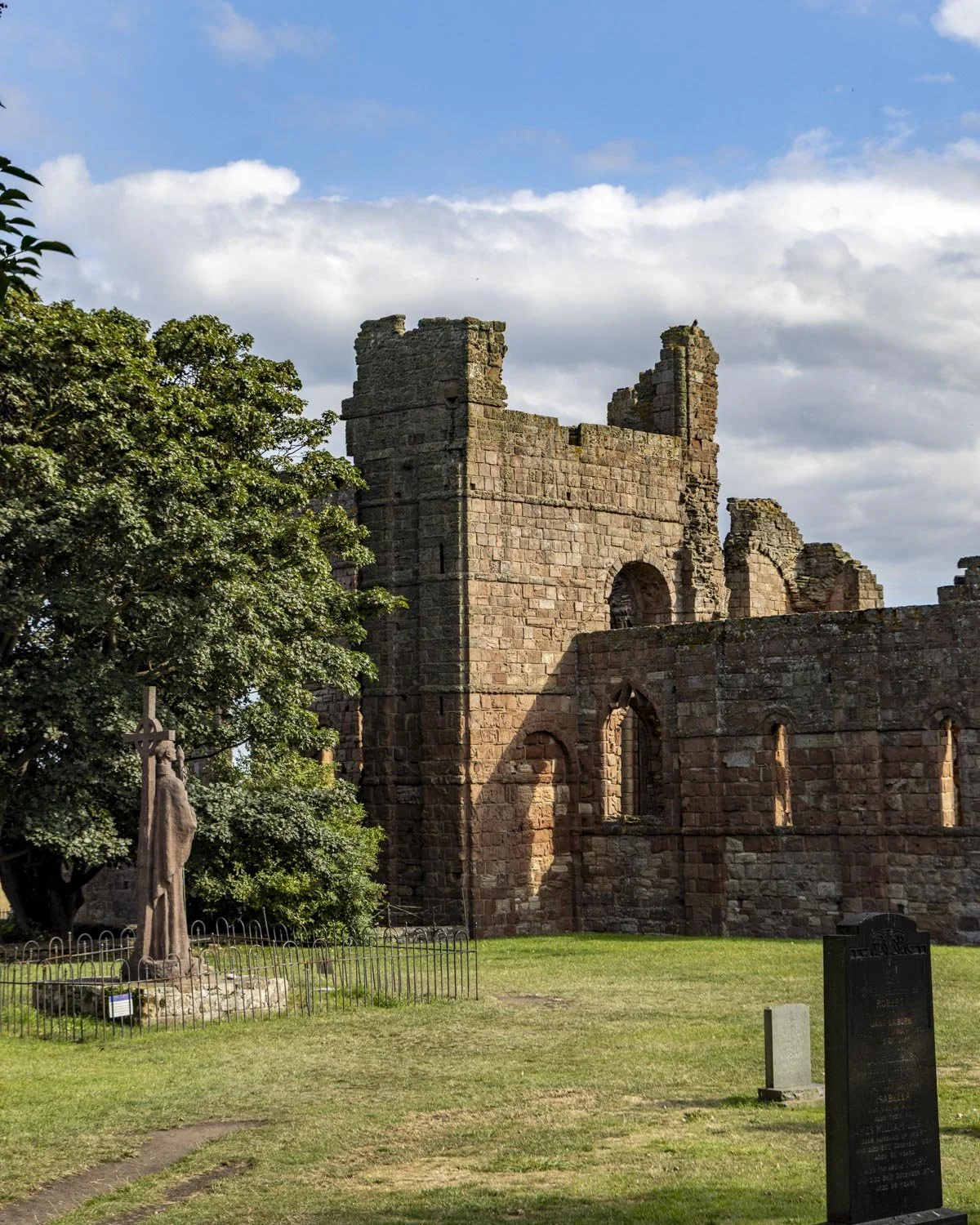
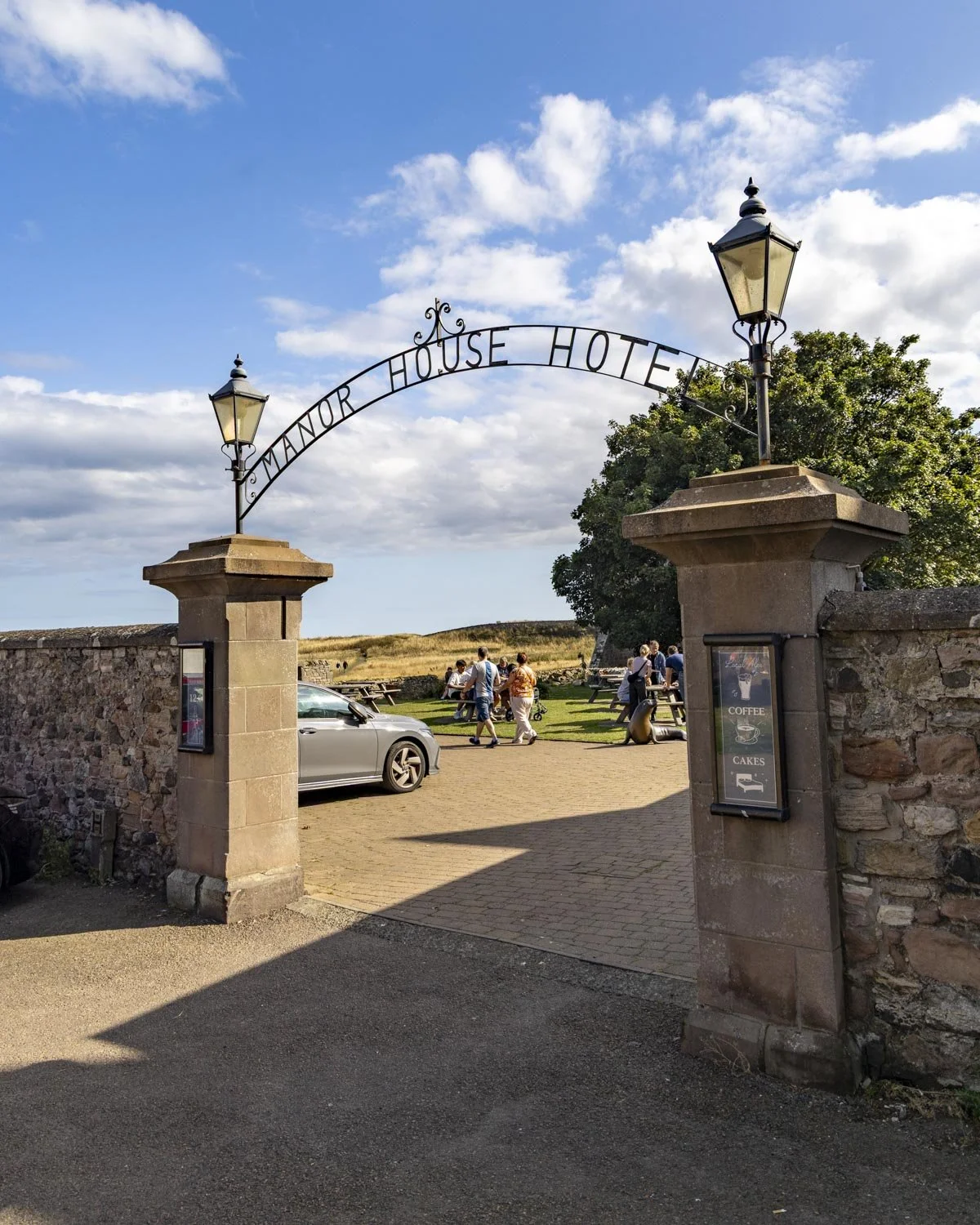
If you’re not going in you can cut through the garden of the Manor House Hotel to reach the coast path. Just 40m along this track you get a great look at part of the priory, but the best view is yet to come.

The path now heads very gently uphill to a T-junction where you turn right to reach a lookout tower. This short detour from the main trail is well worth it, with some of the best views of the entire walk.
You’ll pass the ruins of an Anglo-Saxon church on your left and in the far distance you can even spot Northumberland’s most famous castle, Bamburgh.
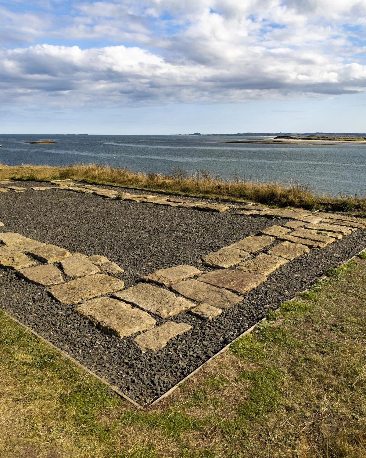
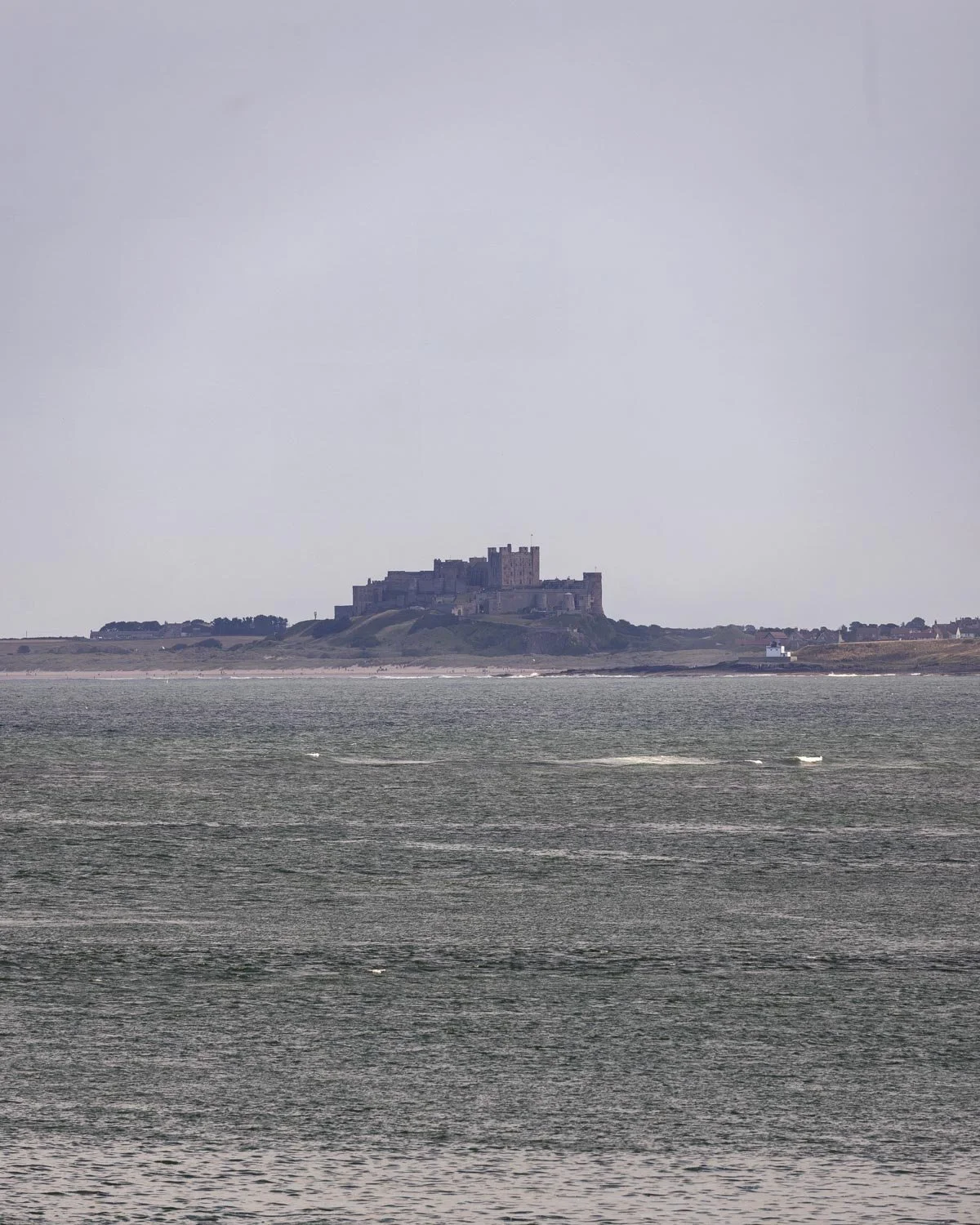
You can walk up to the top of the lookout tower (beside the ruins) which has panoramic views and some info boards so you know what you are looking at.
Just beyond this, on the right, you will have a huge open view of the priory (1km from the car park). From this elevated position you can look down over the full site which is an incredible view and so worth making the minor detour for.
To the castle
From the amazing priory view you turn around and head up the ramp to the grassy path you’ll see 150m later.
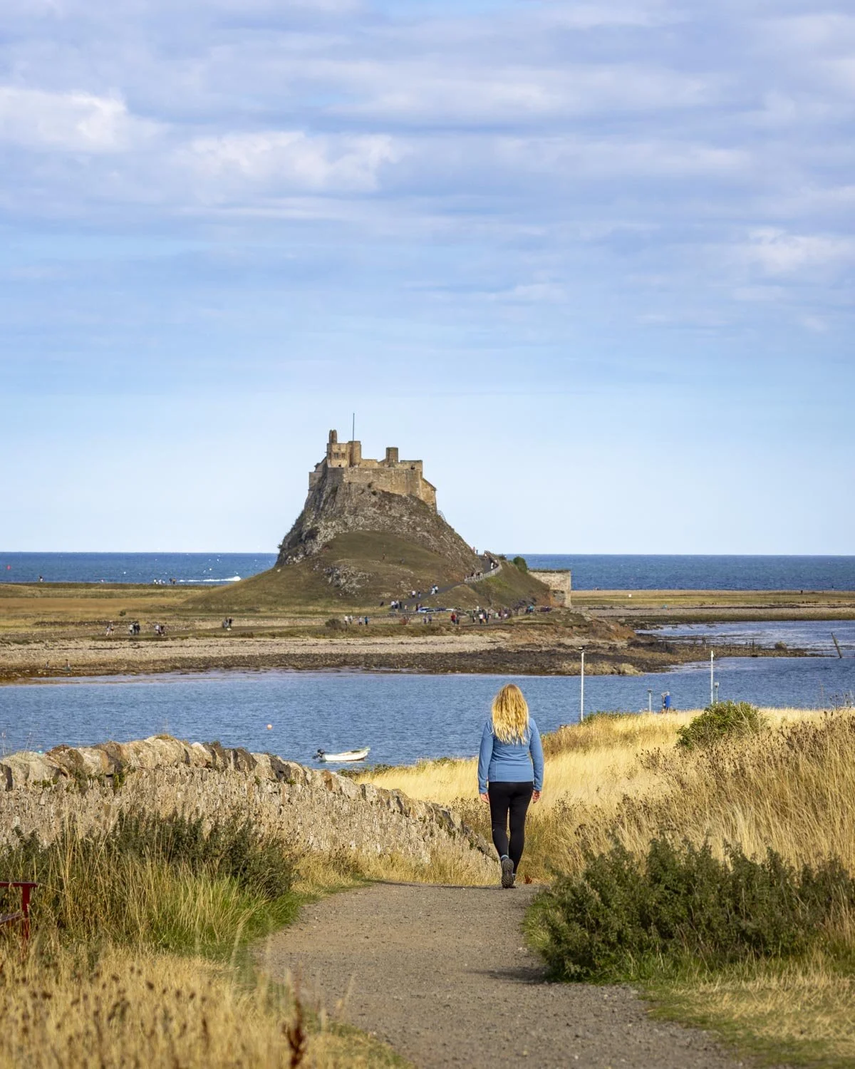
Follow the path for 200m and you’ll come to the ruins of an old guard tower and a fabulous view of Lindisfarne Castle.
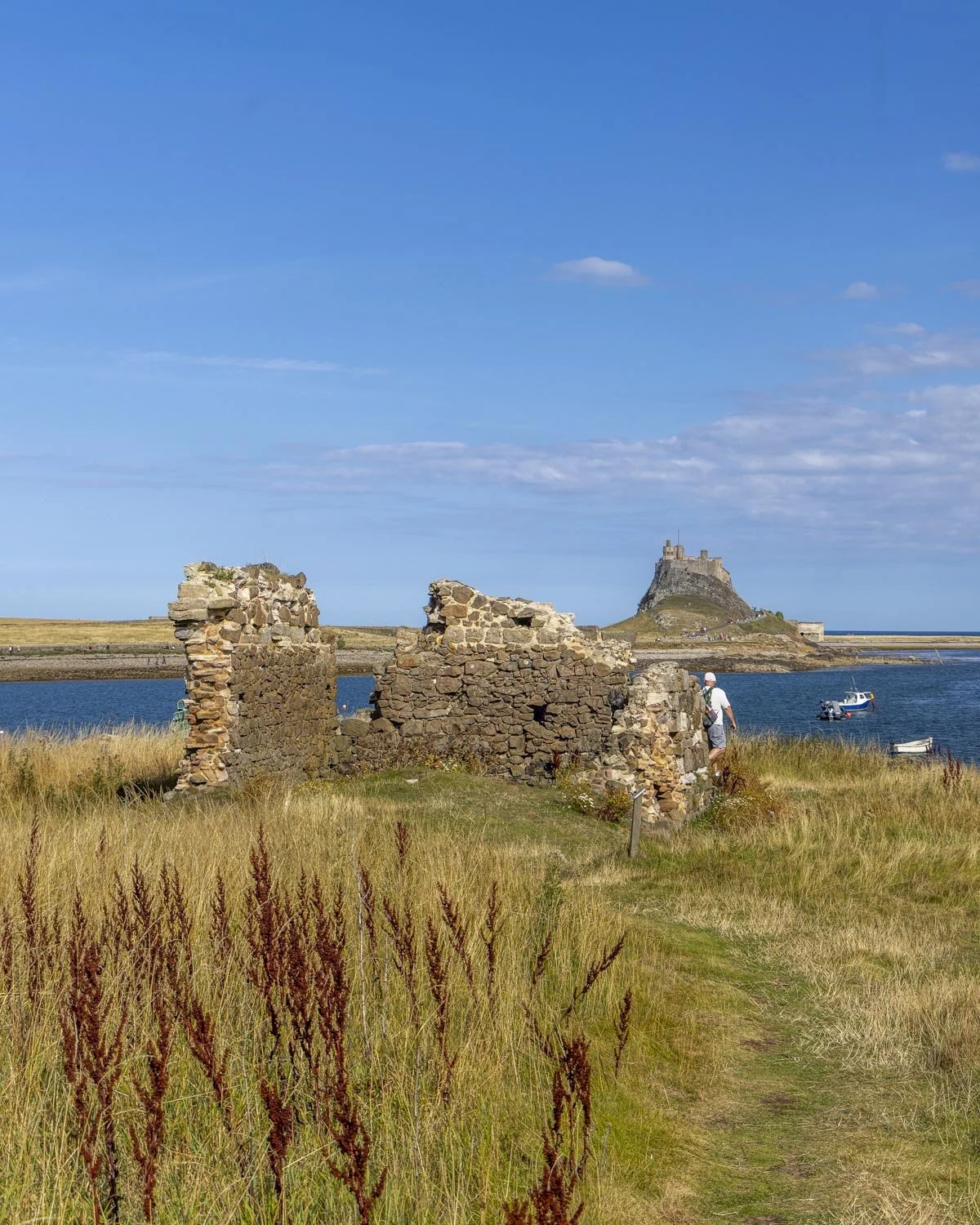
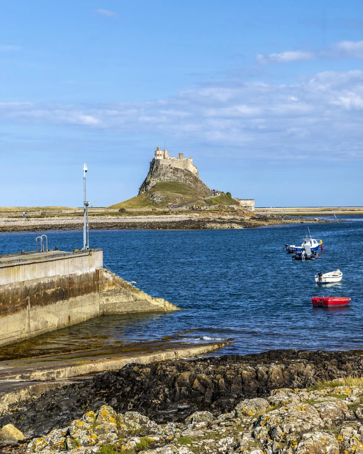
From the ruins you climb down the rocky path (just a few steps) to the wharf and then follow the bay round to re-join the main tourist path heading up to the castle.
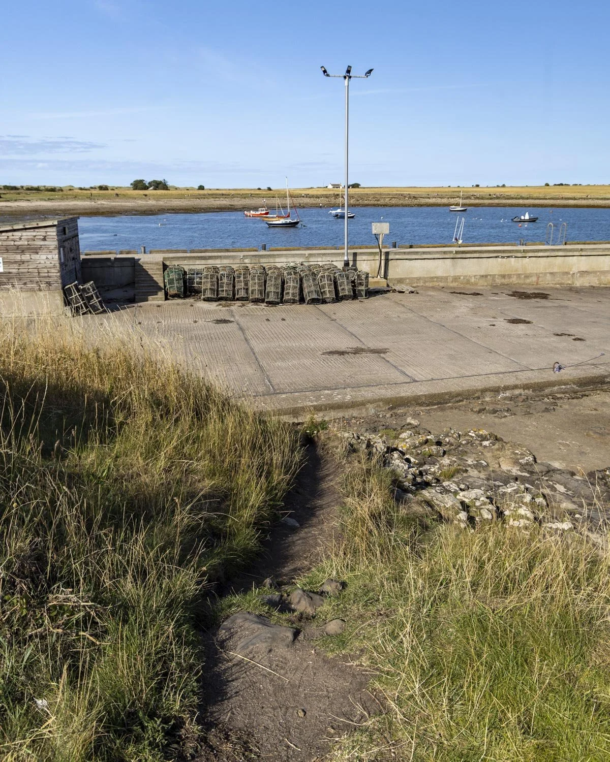
The stretch between the wharf and joining the paved path to the castle is really photogenic. You can take some interesting pictures of the castle with lots of little wooden boats in the foreground and there are plenty of crab pots to look at too.
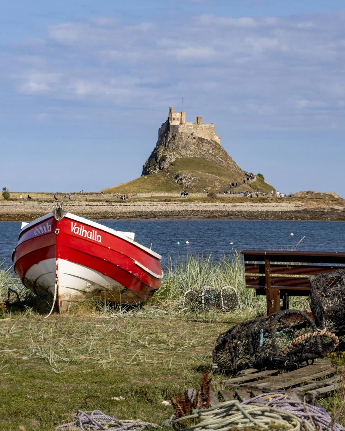
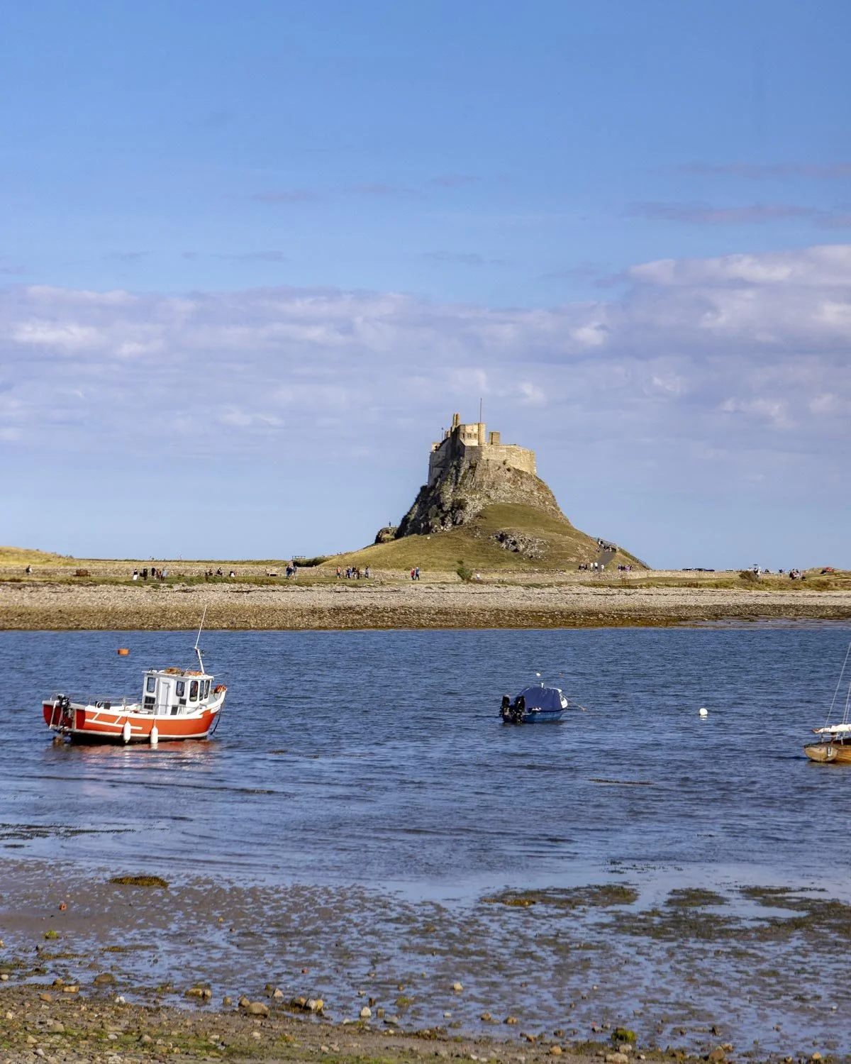
To reach the main track, you can either follow the grassy path or walk along the beach. At the 1 mile (1.6km) mark (250m beyond the guard tower ruins) you will join the main path heading to the castle.
We walked this track in August and there was barely anyone around until we reached this section. The path now heads directly to the castle with some gorgeous views despite the fact they were looking a little parched after a fairly dry summer.
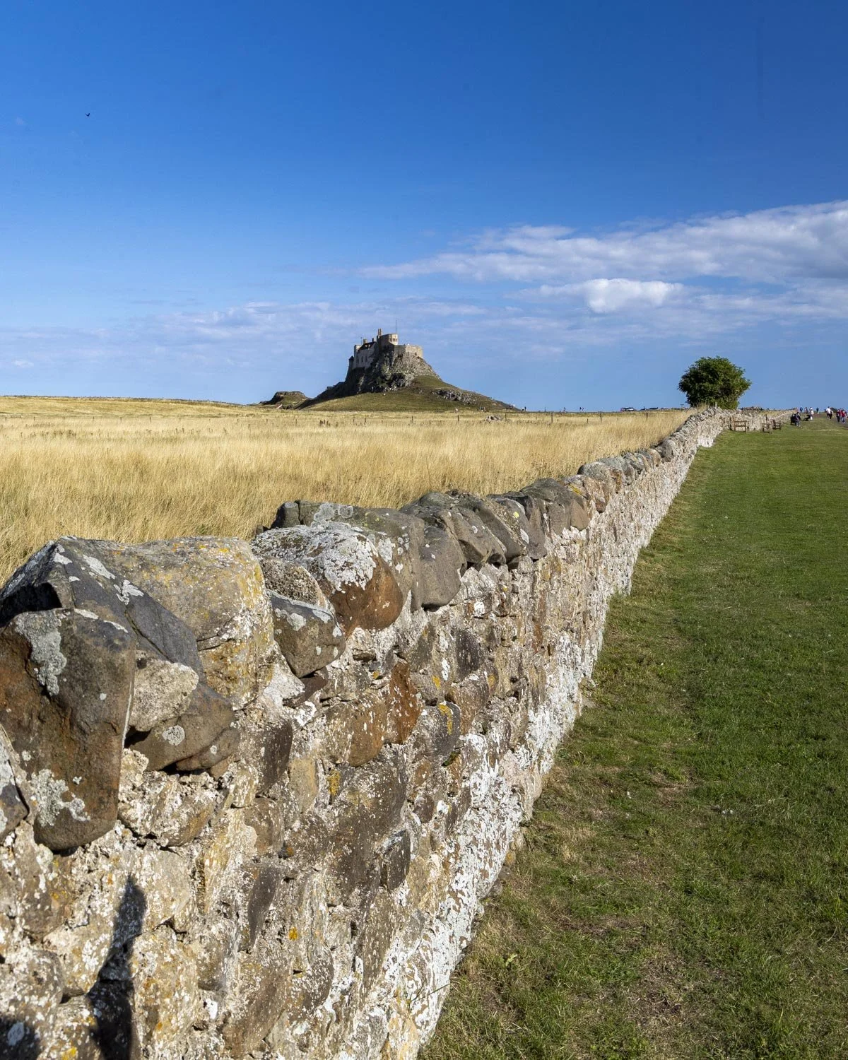
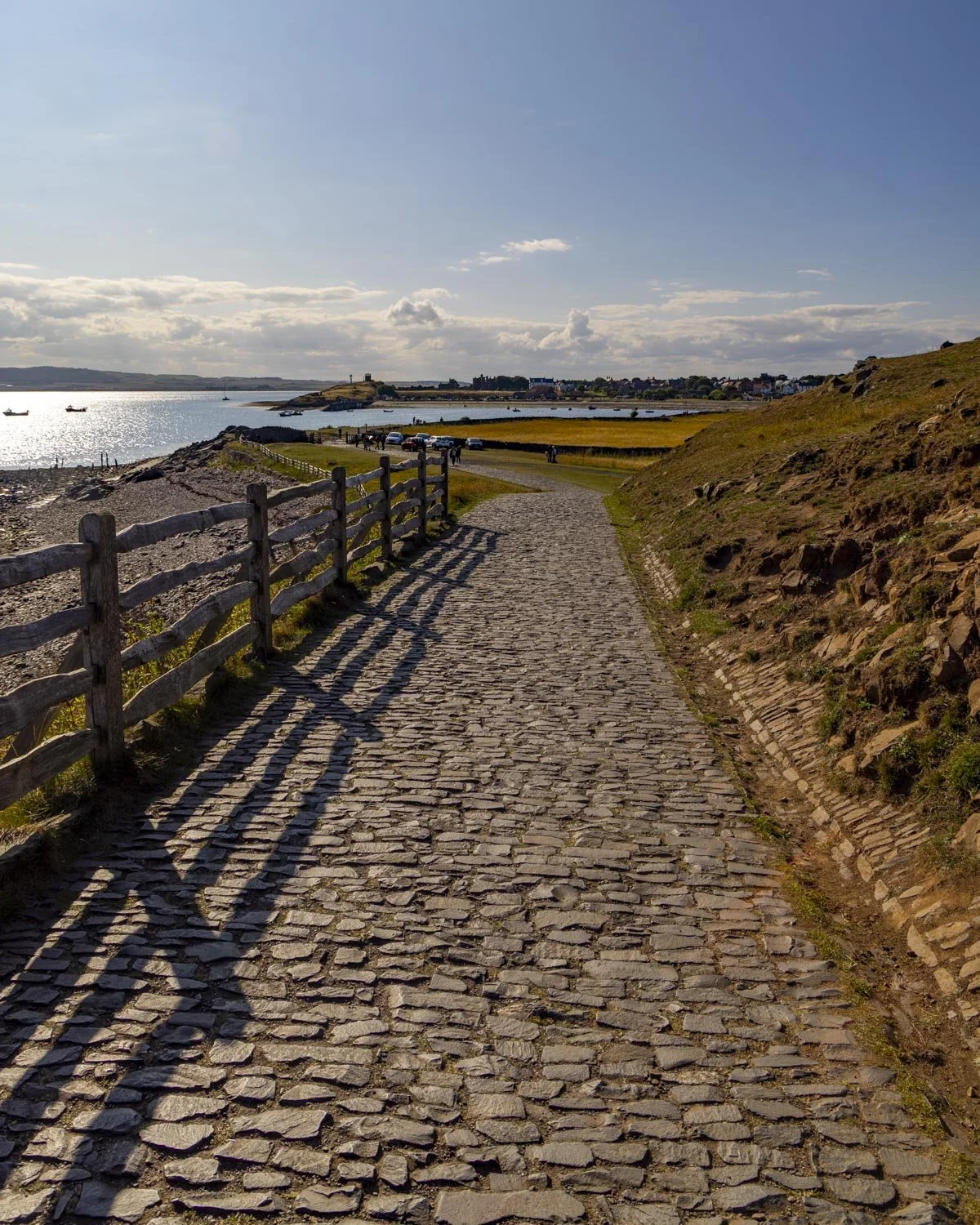
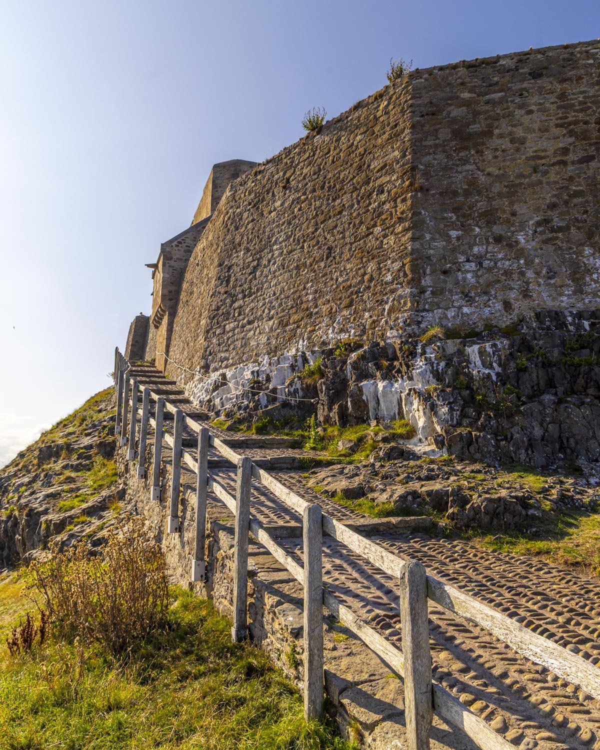
After 500m you reach a gate and from here you will climb up to the castle on a cobblestone path, which is a little steep, but the climb is less than 200m.
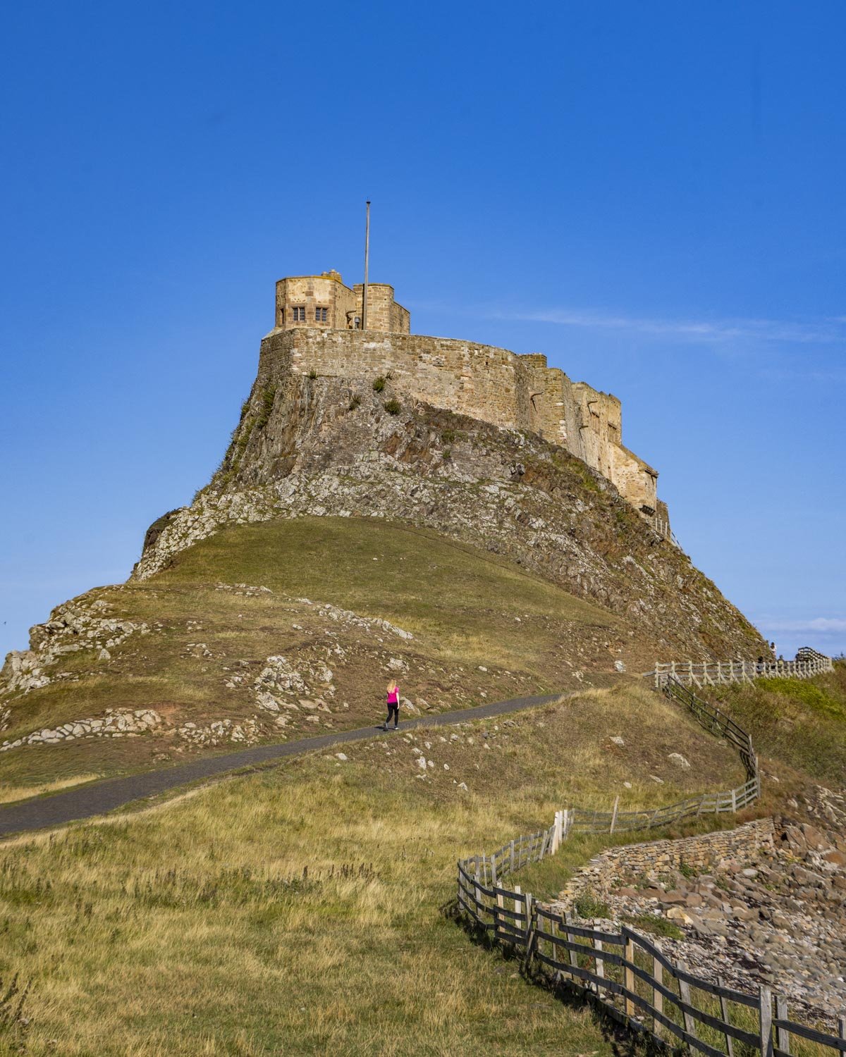
Unfortunately for us the castle was closed on our visit but it was still great to have the chance to see it up close. Though it was once a proper castle, it was later converted into a holiday house, so the closer you get the more you will spot the conversion.
If you do want to go into the castle it’s free for National Trust members or just over £14 for an adult ticket. Joe’s parents have been inside and said there isn’t too much to see so it feels a little expensive if you aren’t a member.
Along the coastal path to Emmanuel Head
From the castle you can climb down the grassy path directly ahead, which is steep, but only for a very short time.
It’s a mix of grassy and dirt track which is tiered making it quite easy to get down. You then head straight, over the small bridge, towards the sea.
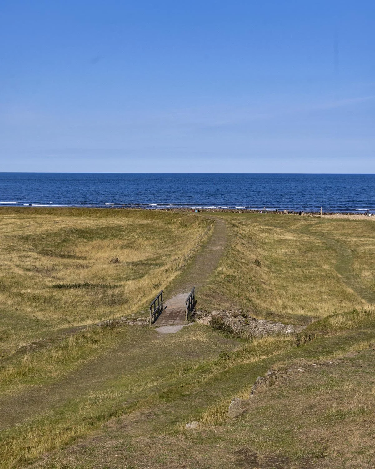
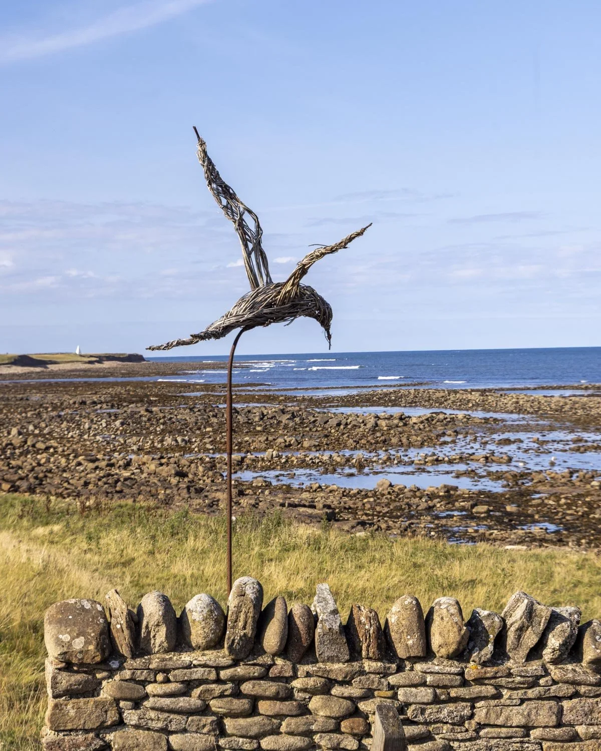
The path will curve left and head alongside the coast with expansive sea views. There’s a proper track slightly set back from the sea, or you could follow the worn grassy path closer to the water for a time if preferred.
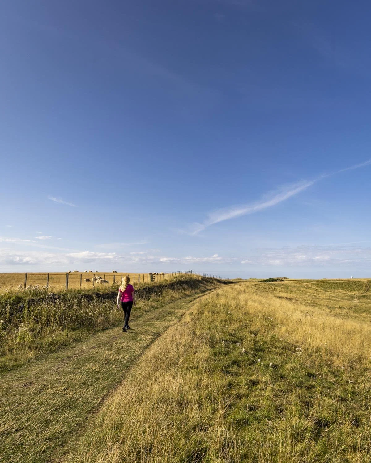
After 800m (2.1 miles/3.4km into the walk) you will reach a fork and keep right to continue following the coastal track.
The leisurely flat path heads through a bird nesting area to the obelisk at Emmanuel Head. We saw lots of birds along this stretch including skylarks and gannets diving for fish. There’s a bench seat at the obelisk if you want to sit and try and spot some wildlife.
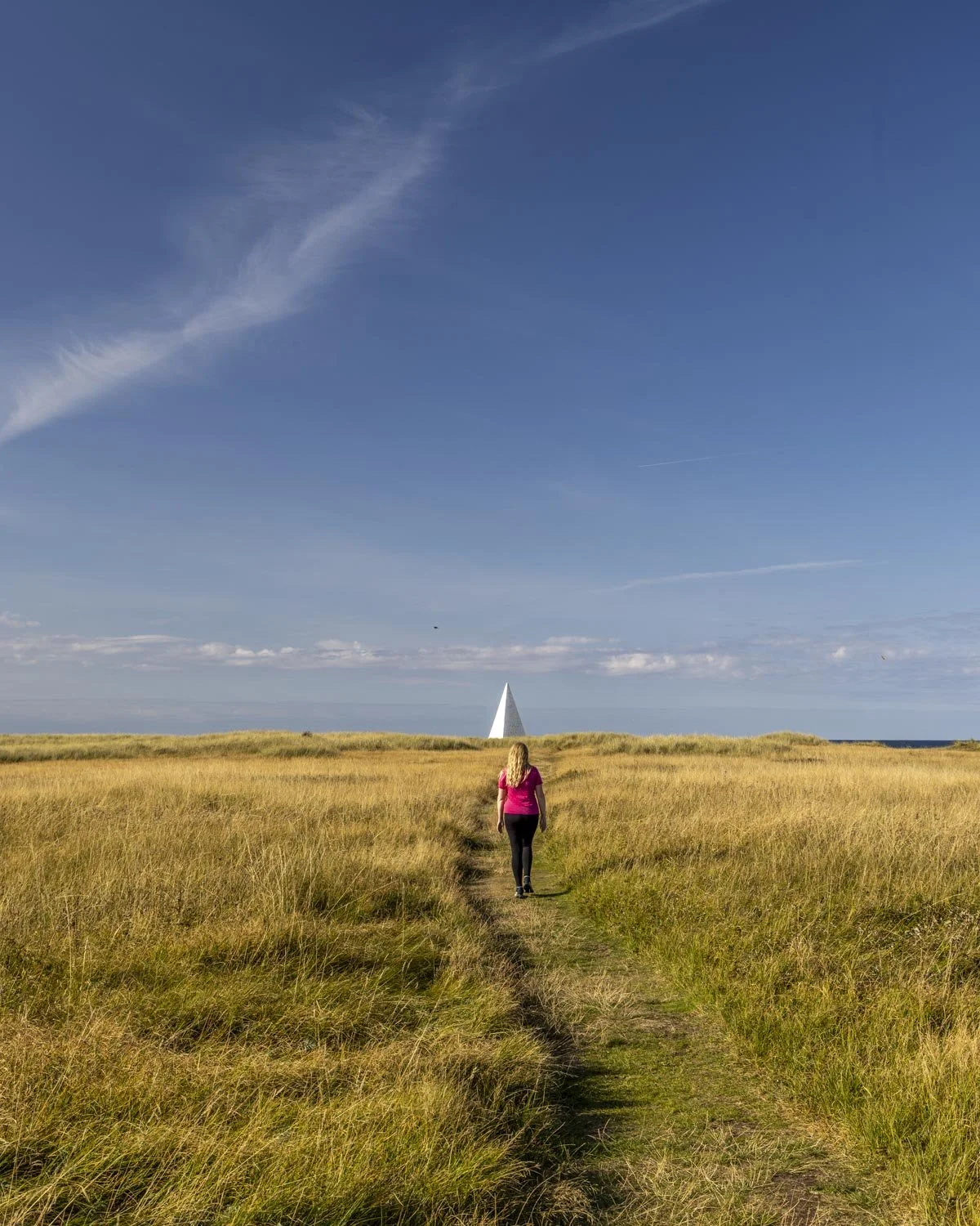
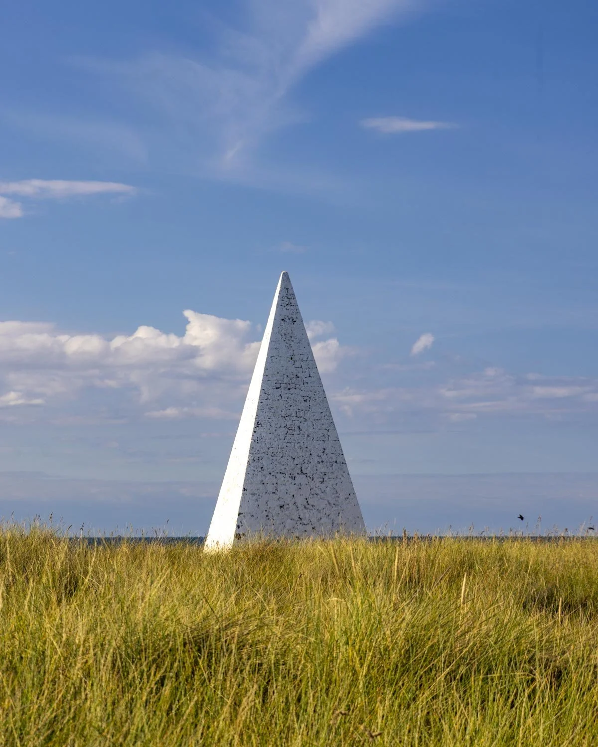
Through the dunes to complete the circuit
From Emmanuel Head the path bears left and after a few hundred metres you have a choice. You can either head onto the beach and follow the sand for around 750m (tides permitting) or follow the path behind the beach which takes you through sand dunes.
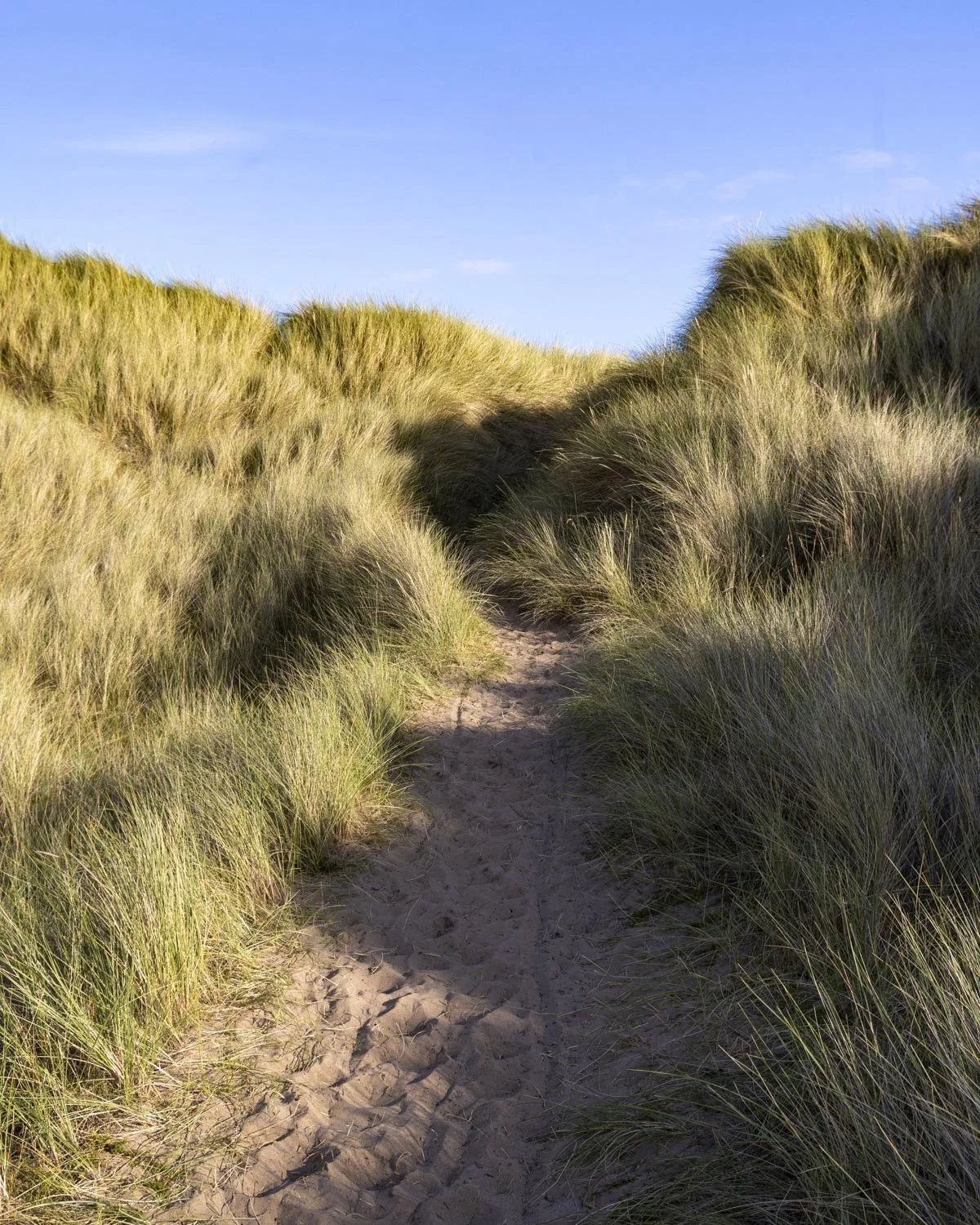
The path through the dunes has quite a long stretch with dense grass which is spikey. This would be best avoided if you’re wearing shorts, but is generally ok in trousers.
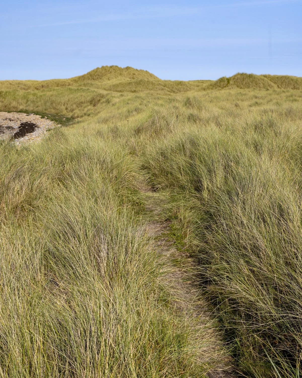
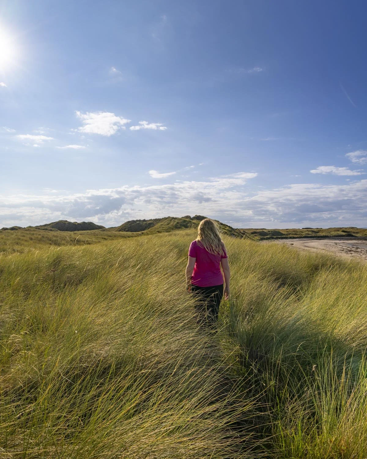
Spikey grass aside the track is easy, mainly flat and quite a different kind of scenery to that which we are used to seeing in England. We took the dune path and enjoyed it, but I imagine most people would probably find the beach more scenic.
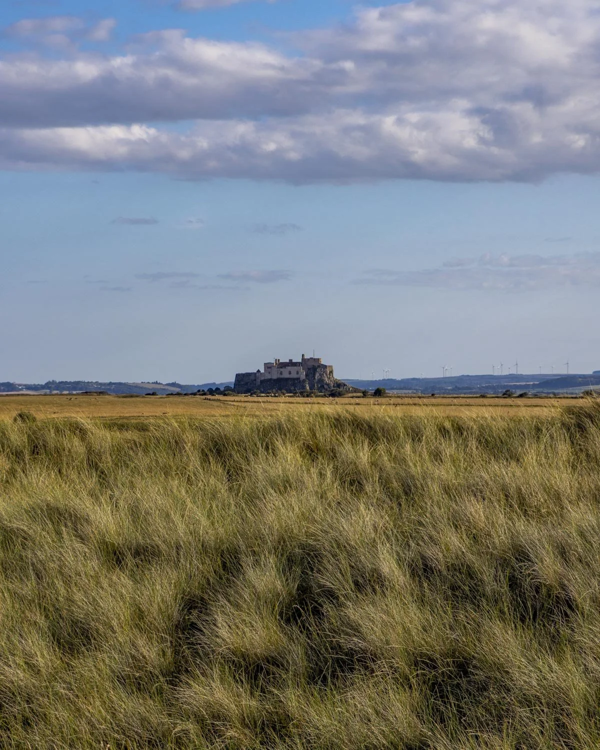
At the 3.4 mile (5.5km) mark the beach and dune paths converge (there’s a sandy track up from the beach and into the dunes). From here there are still some sections of long grass, but not as extensive as the first patch.
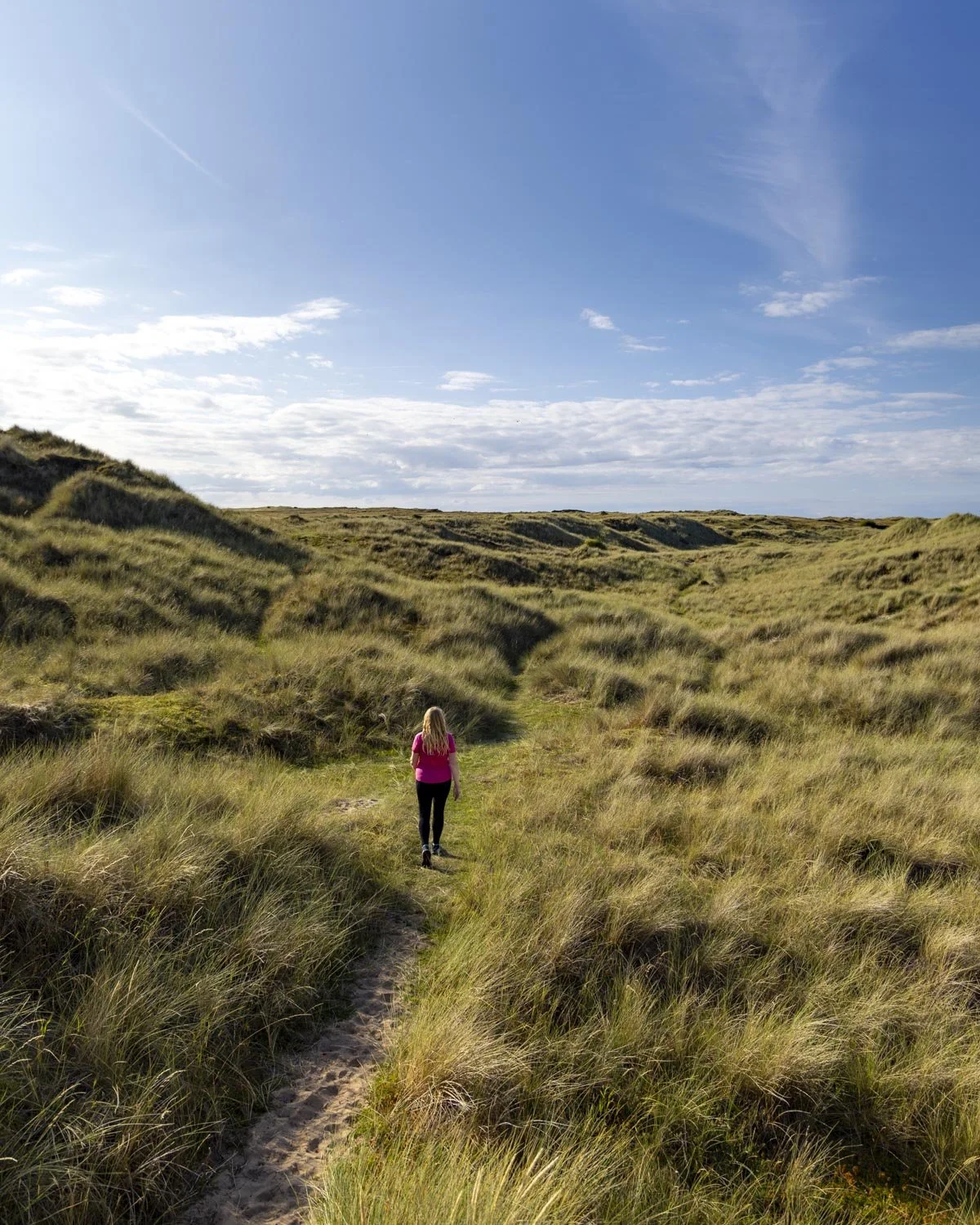
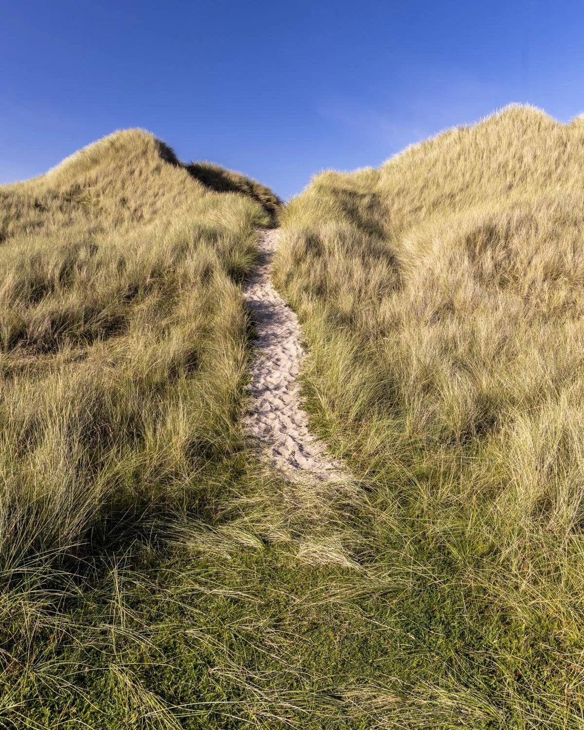
There are intermittent sea views as you continue through the dunes, with another beach at the 4 mile (6.4km) mark - though this one is rocky.
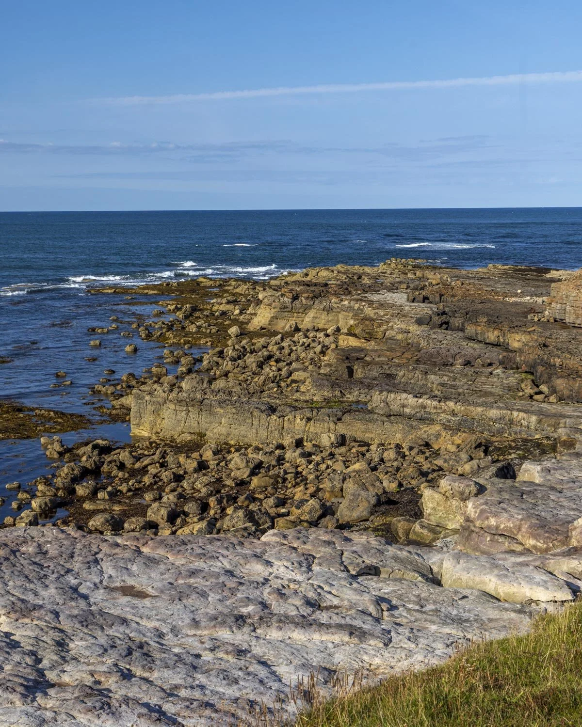
The path continues in much the same way, with some minor ups and downs before you reach the point where you turn inland, at the 4.5 mile (7.2km) mark.
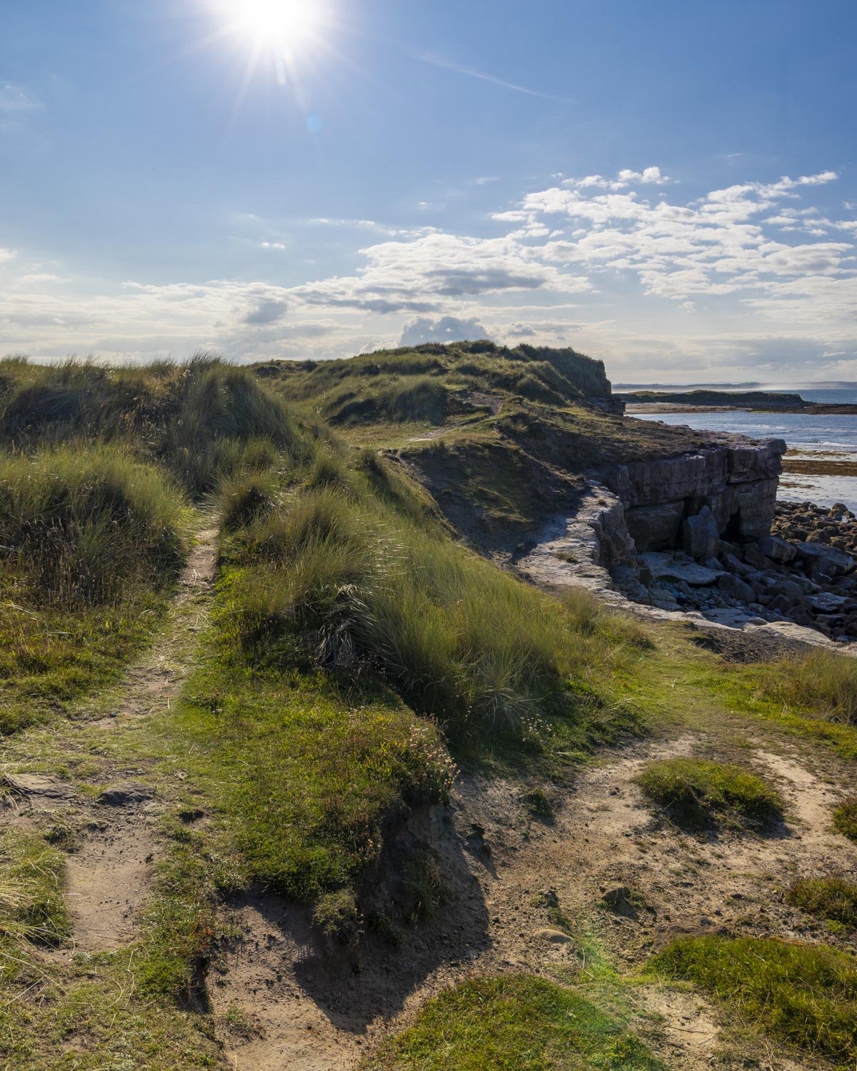
You head through a grassy bowl, past a small ruin, surrounded by dunes. It’s a really pretty section of the walk, again it feels unusual as we’re really not used to seeing grassy dunes in the UK! You’ll head very briefly uphill as you leave the dunes and the castle will come into view again.
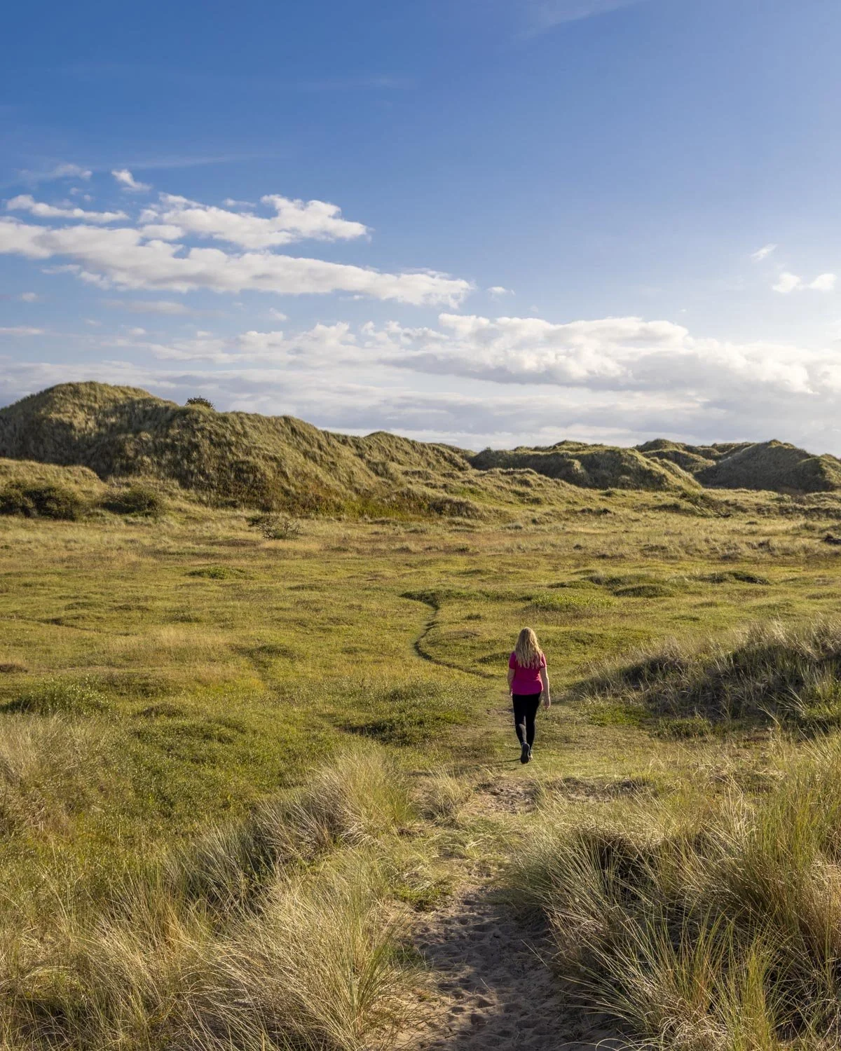
The grassy path will flatten and it’s now a straightforward level walk back to the car park.
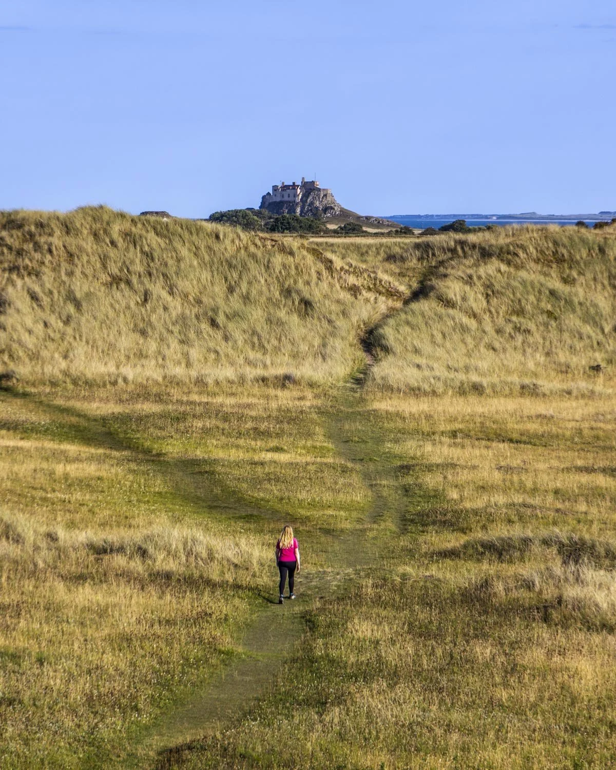
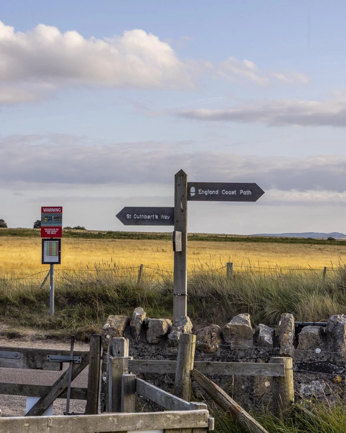
It’s still pleasant but not as beautiful as the rest of the walk has been. Just over 5 miles (8.2km) into the walk you will reach the road and head left, following the signpost for ‘St Cuthberts Way’.
You will arrive back at the car park 200m later.
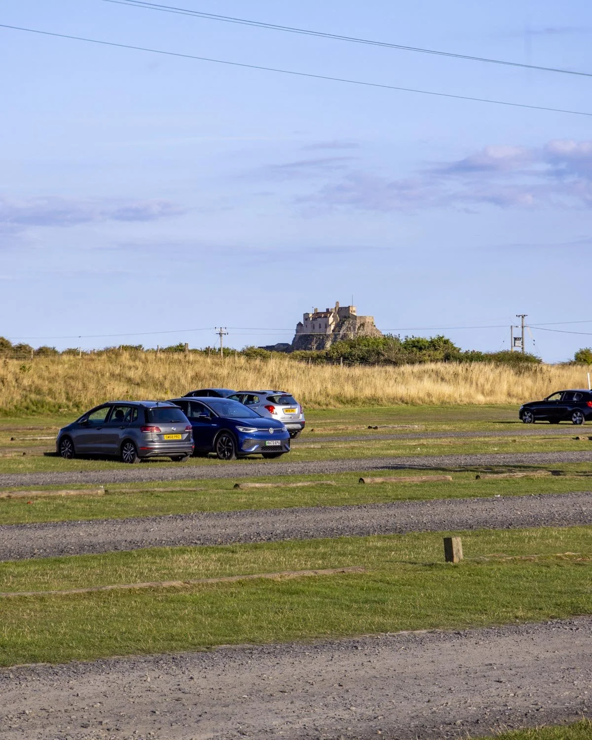
Where to park for the Holy Island Circular Walk
Most of the parking around Holy Island is for residents only so you need to park at the Chare Ends public car park, postcode TD15 2SE, you can see it on Google maps here.
The car park is free of charge after 6pm, but otherwise it’s 3 hours for £7, 4 hours for £8, 5 hours for £9 and 24 hours for £10.50.
The drive to the car park is approximately an hour from both Morpeth and Rothbury and one hour 20 minutes from Newcastle.
The nearest train station is Berwick-upon-Tweed, but it’s still a 30 minute drive away and buses don’t run regularly (or even daily) so you would have to plan your visit carefully if coming by public transport, here is bus timetable (click the Glen Valley 477 tab).
This post may contain affiliate links, meaning at no additional cost to you, that we will earn a small commission if you click through and decide to make a purchase. This helps towards the costs of running our website. Thanks for your support.


This circular route around Holy Island (Lindisfarne) is one of the best easy walks in Northumberland. It takes in a photogenic castle, old priory, quiet beaches and endless sea views. We’re sharing directions, trail conditions and where to park.