
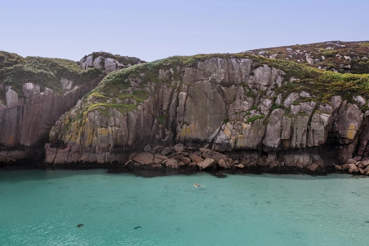
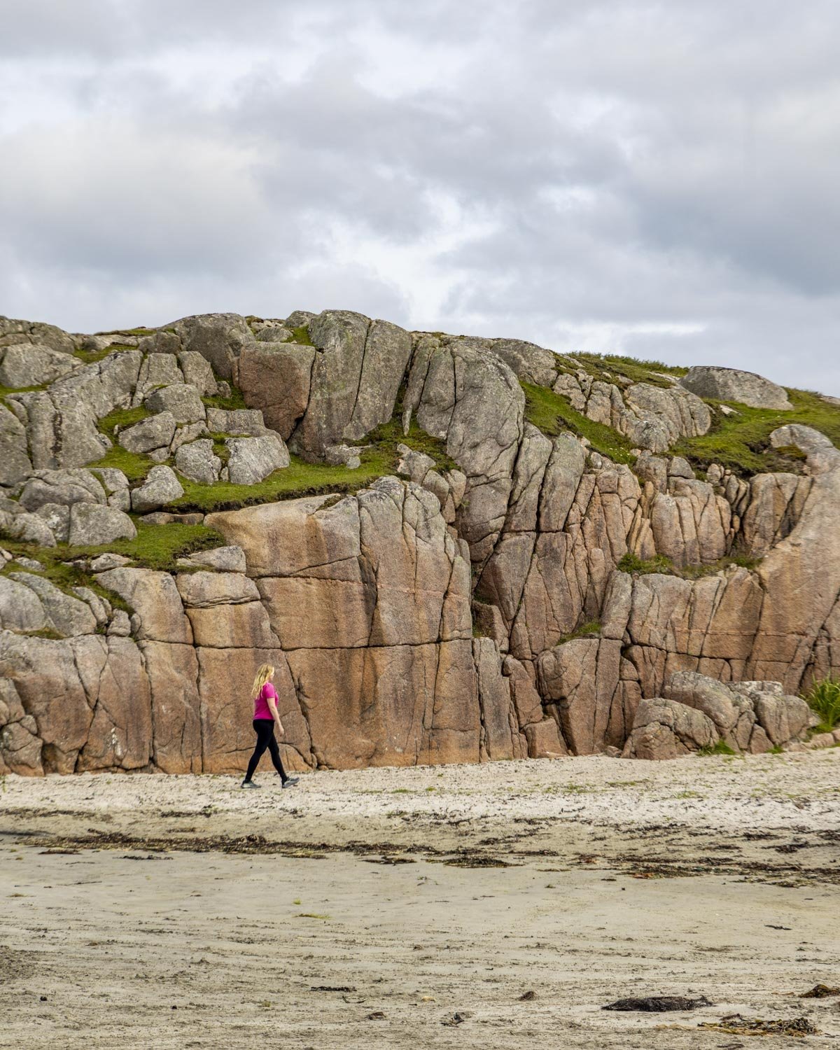
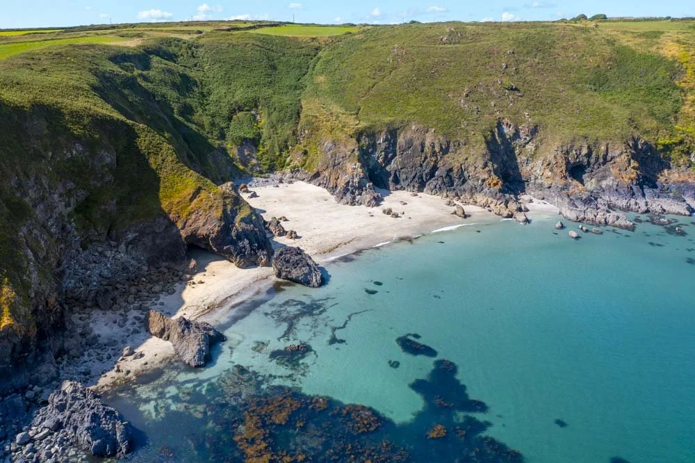
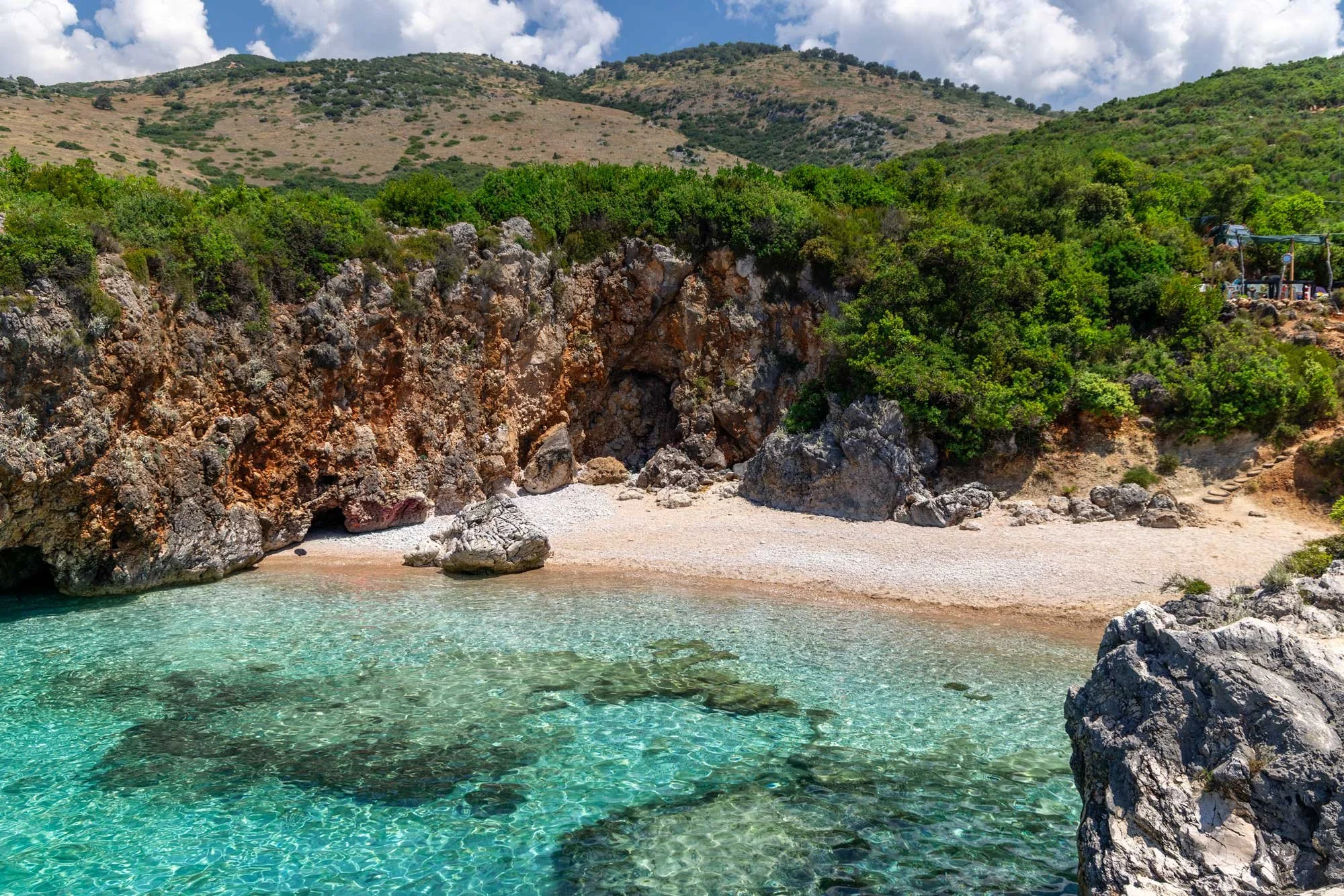
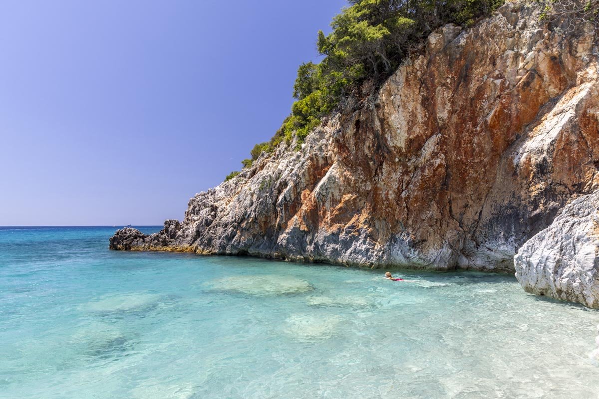
We had no idea when setting off to explore the little island of Erraid that we would discover one of the best beaches in the whole of the UK! With white sand, turquoise water and pink granite rock walls, it feels as wild and untouched as it is beautiful. Seeing it for the first time genuinely was a jaw-dropping moment, made even more unbelievable by the fact the only footprints in the sand were our own, and we visited on a weekend in August!
Somewhere this quiet and this captivating of course comes with a bit of a catch and in this case it’s the infamous Scottish bog. But I can honestly say I would cross that bog many times over just to spend time at this very special beach again.
Here’s how to find it via the short boggy route and the longer less boggy route!
Traigh Geal (Balfour Bay) via the Erraid Circular Walk
The stats
Distance: 3.4 miles (5.5km) return, or 4.1 miles (6.6km) circuit
Elevation gain: 165m via the quicker route, or 200m via the circuit
Difficulty: Moderate
Trailhead: Gate at the end of Knockvologan Road
Summary: The most important thing to note about this walk is that you need to cross a tidal causeway, you can read more on that in the next section.
If your aim is to reach Traigh Geal (Balfour Bay) via the quickest route you should take the purple route as marked on our map below.
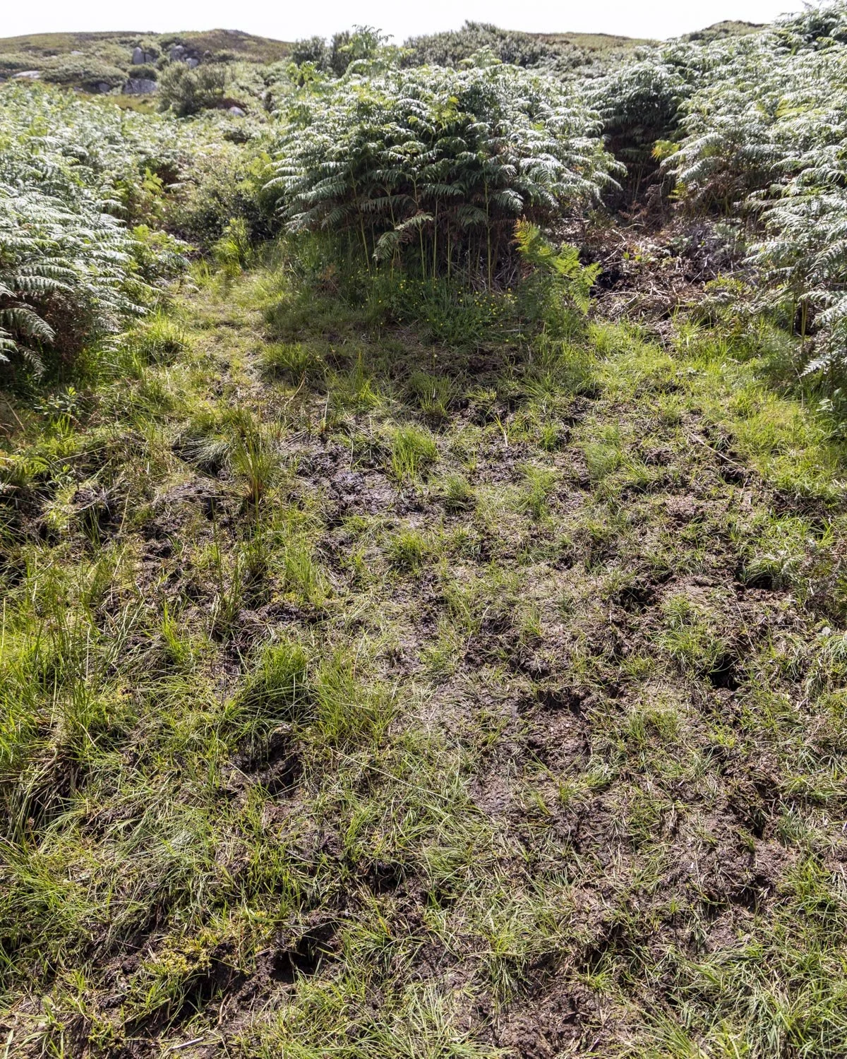
This route has some flat track with a notable hill to climb and descend, though it’s not very steep, so it’s not too strenuous on the way back. There is a significant amount of boggy terrain, but none of it was above ankle height. It’s also worth noting we walked after a week of very heavy rain so it may be better in drier times.
If you want to walk the circuit or take the longer more scenic route, follow the blue route on our map. There is much less bog (though you certainly can’t avoid all of it) and a bit more uphill walking to do. The paths are not always easy to follow and there are no signposts, so we will try and add as much guidance as possible in the trail notes below.
Know before you go - the island is tidal
It’s important to know access to Erraid Island is tidal. Though we read you can only cross an hour either side of low tide, this was not the case for us. We crossed on a mid tide and had a vast amount of exposed sand, therefore I would say it’s probably fine on a low to mid tide generally speaking.
However, I would only aim to cross on the mid tide before the low, this gives you maximum time before the tide comes back in.
If you were unlucky and the water is a bit higher on the mid tide you can just wait it out for an hour and then it will certainly be low enough to cross and still give you a good four hours to explore.
You can’t cross on the mid tide before the high tide because that won’t give you any time to get to, and enjoy the beach before having to cross back over the causeway ahead of the high tide coming in.
You can see the tide forecast here.
Traigh Geal (Balfour Bay) via the quickest route
Reaching the trailhead
The walk begins beside a farmhouse but there is no parking there so you have to park a little bit earlier.
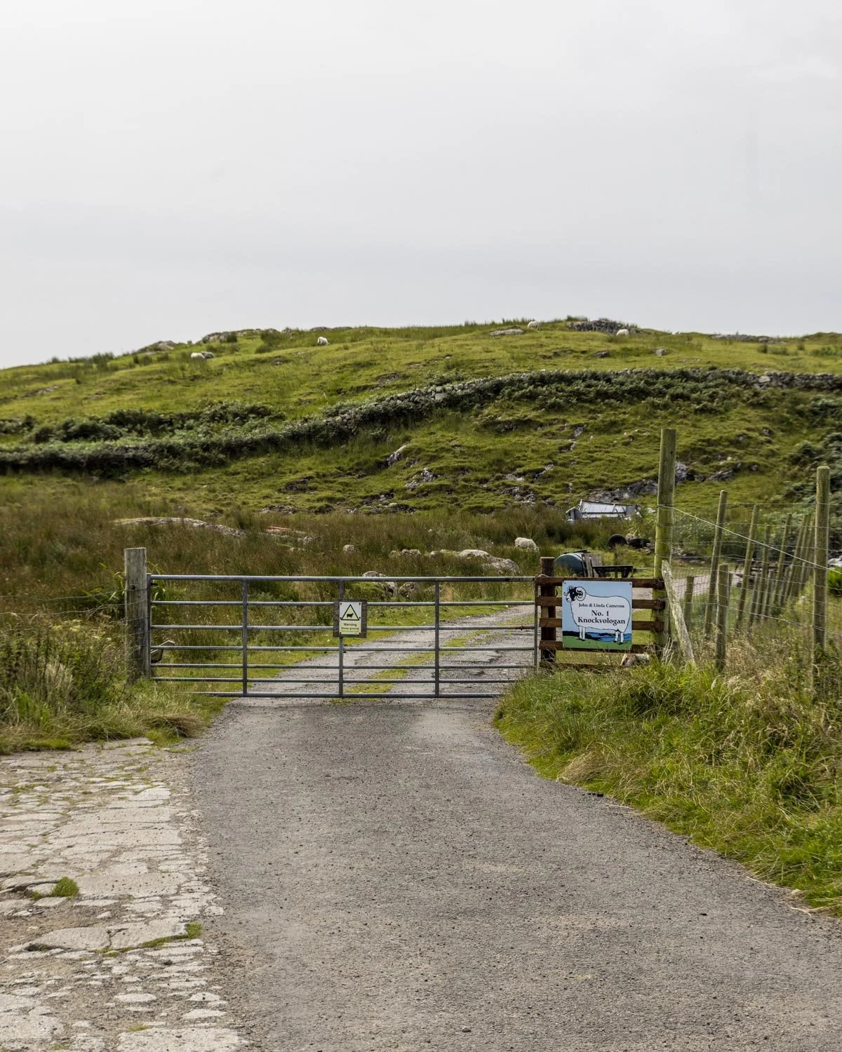
We didn’t feel comfortable parking right beside the gate before the farm incase it might block any of the big farm machinery so we chose to park a little further up the road instead.
If you park at the same point we did you will walk for 300m to the farm gate and then follow the stony road gently uphill for 250m.
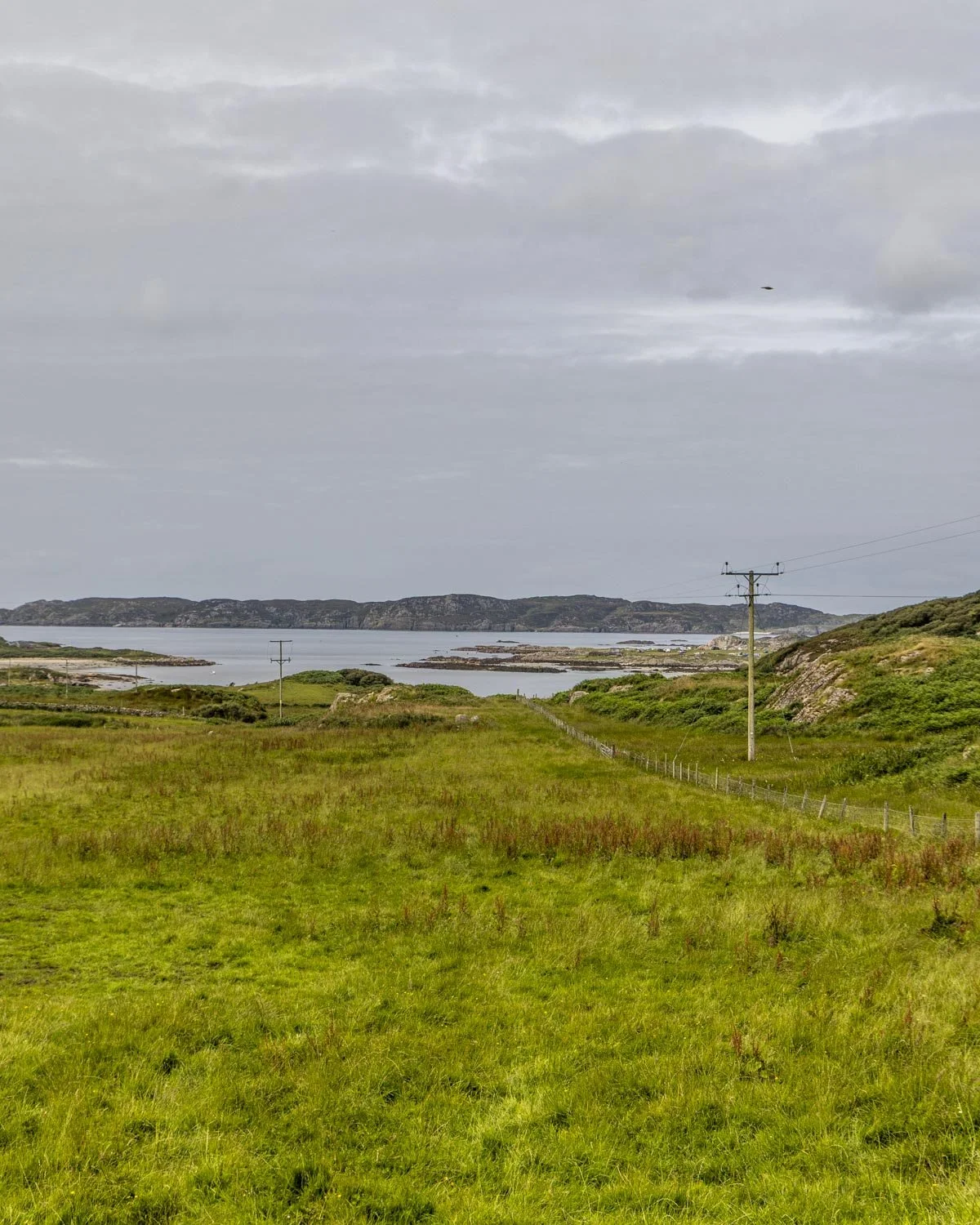
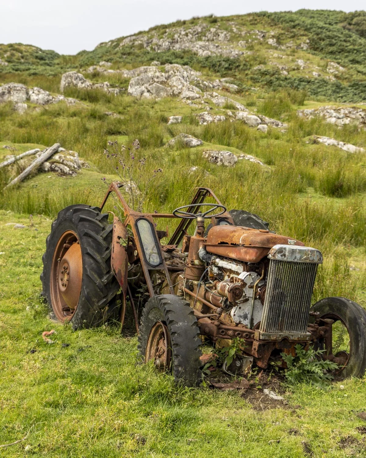
You’ll pass some farm machinery and then reach the end of road, beside the farmhouse 80m later, 630m from the parking point, or 330m from the gate. This is where the walk to Erraid properly begins.
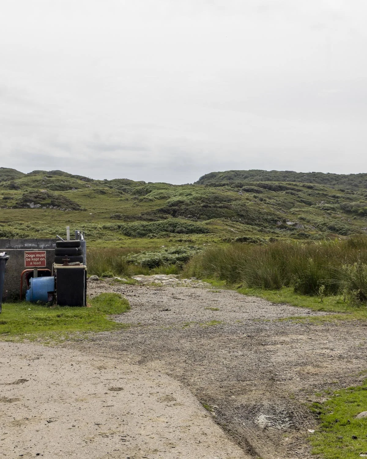
To Knockvologan Beach and the causeway
From the farmhouse you are just 720m from the causeway and you will see a rocky track leading downhill to the right of the house.
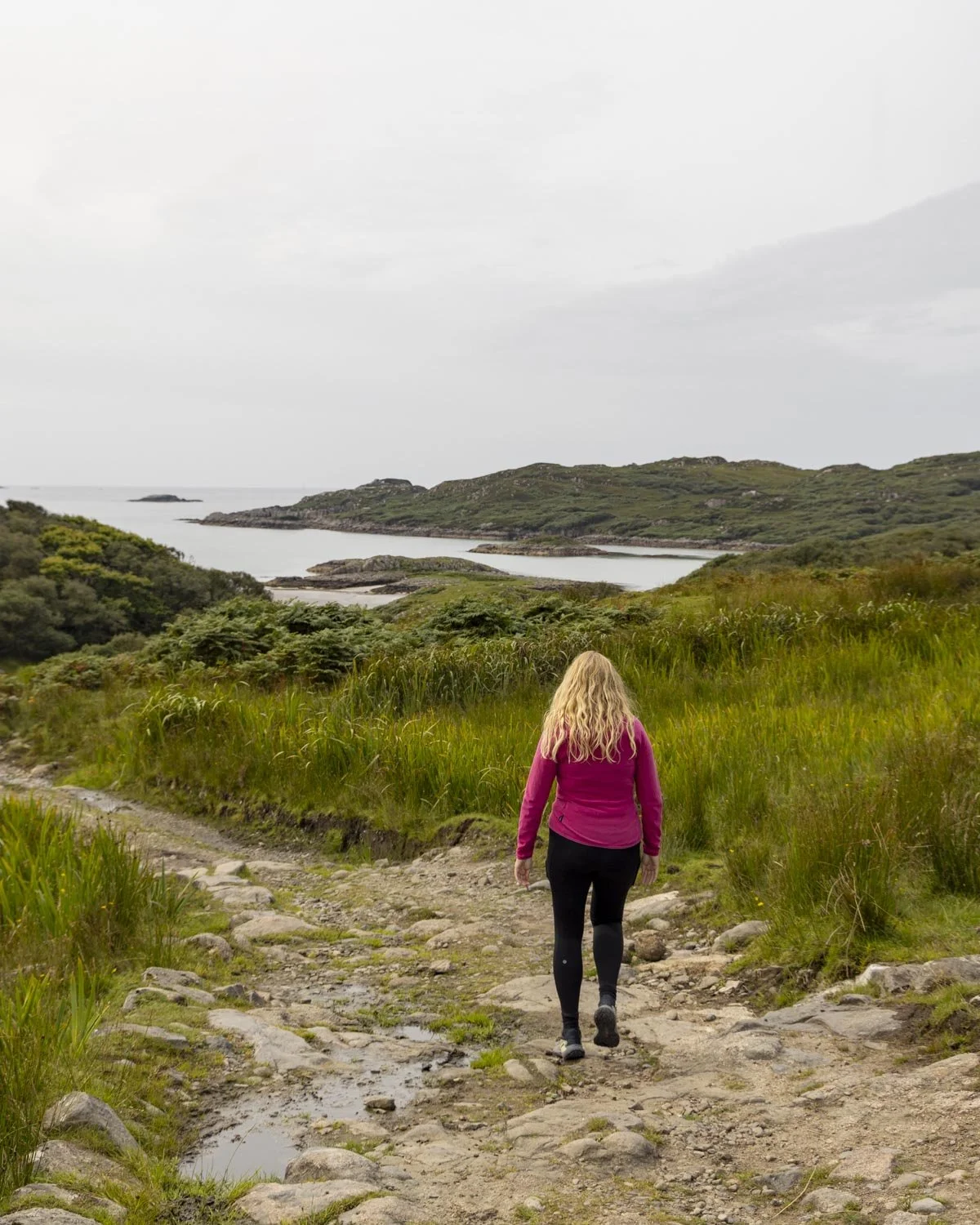
It’s not too steep but it is the most uneven terrain you’ll find along the whole walk. You will reach the bottom of the hill 370m later when you arrive at Knockvologan Beach.
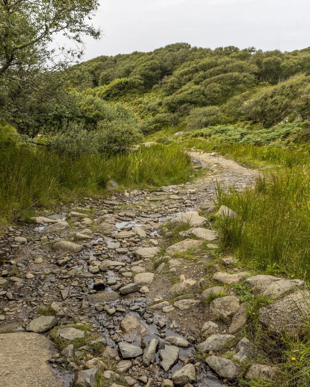
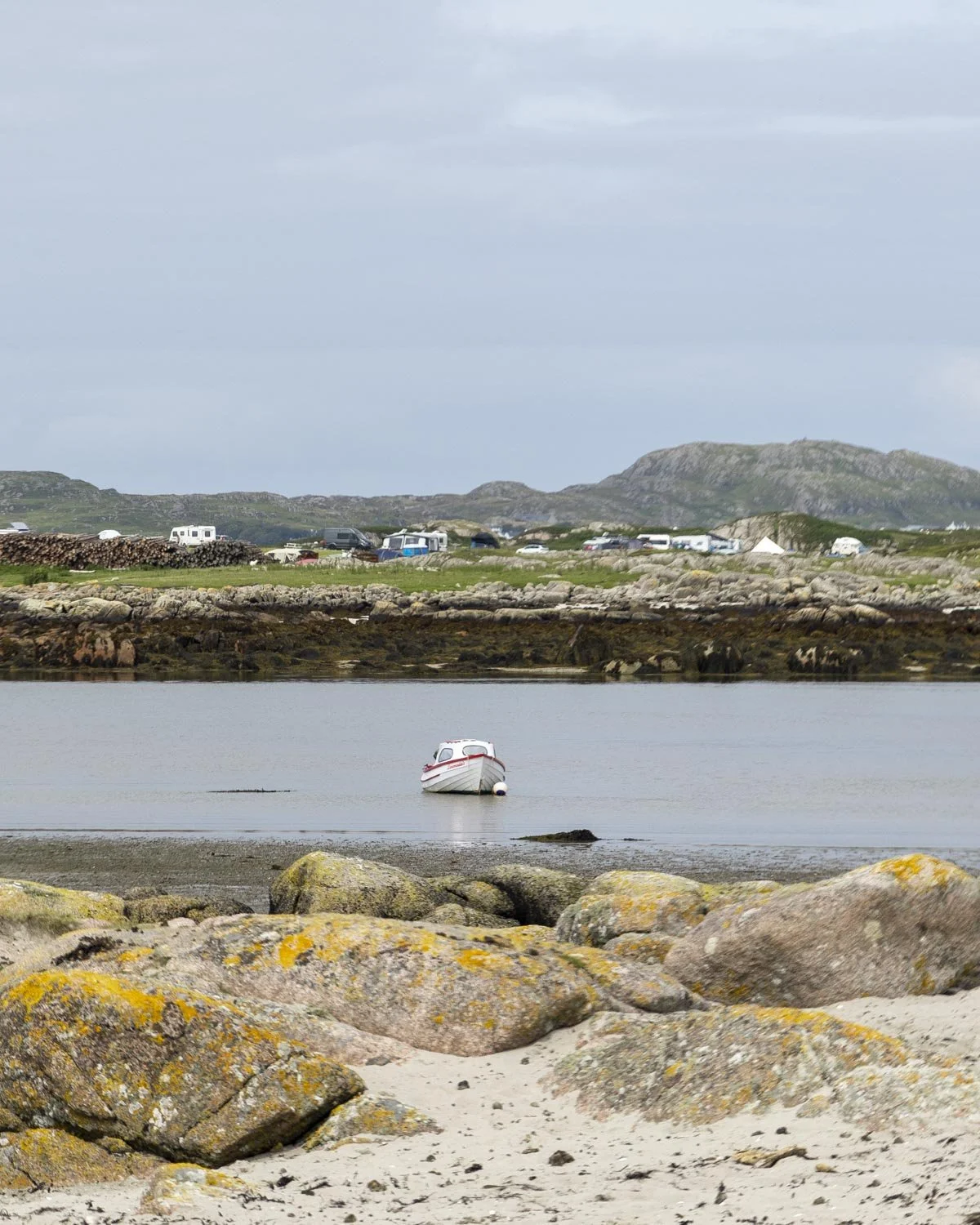
I’ve seen gorgeous pictures of this beach, but for us on an overcast day it looked more like a tidal mud flat!
What did make it fun was was the huge group of cows hanging out on the beach, something I hadn’t seen since we visited Goa in 2010!
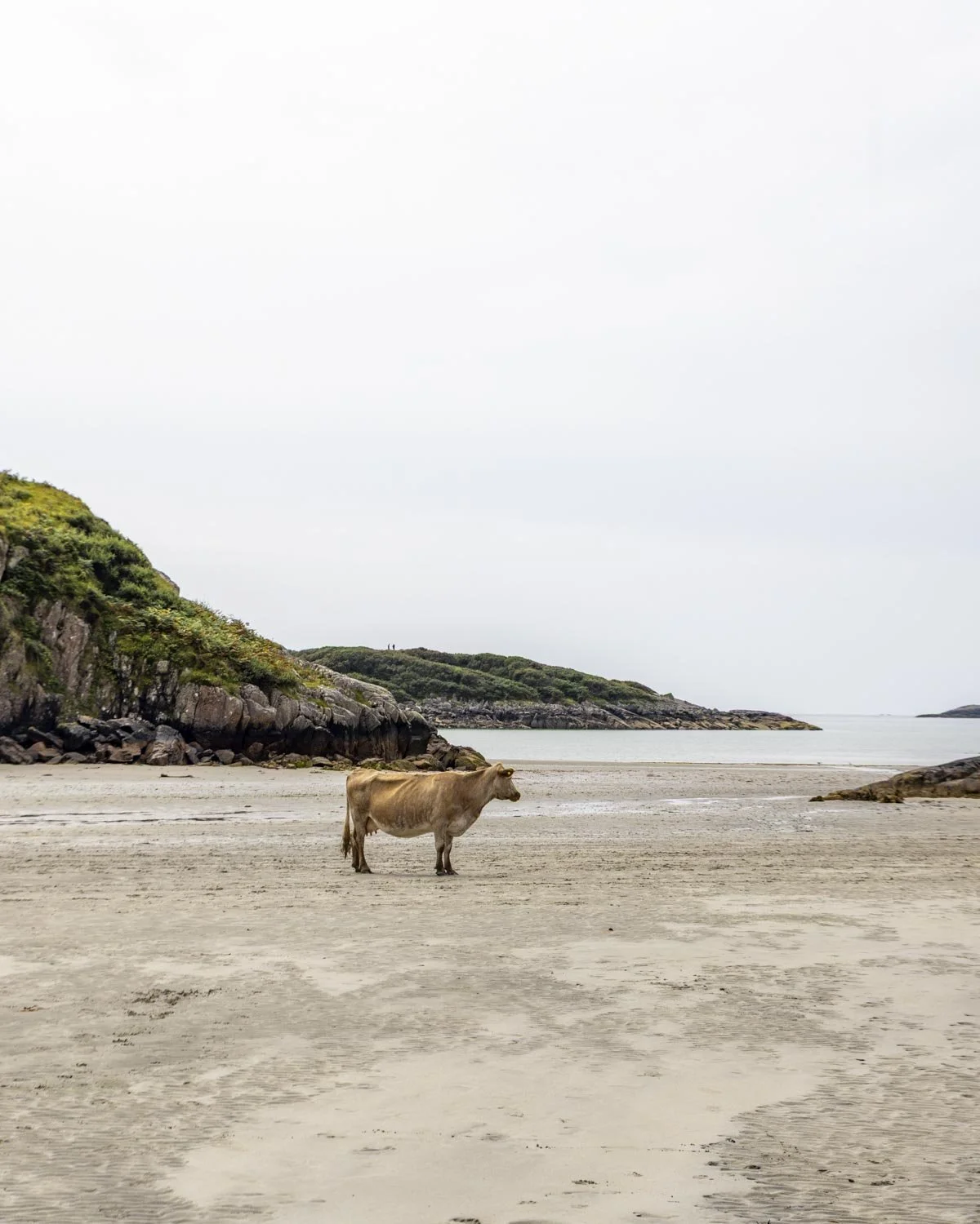
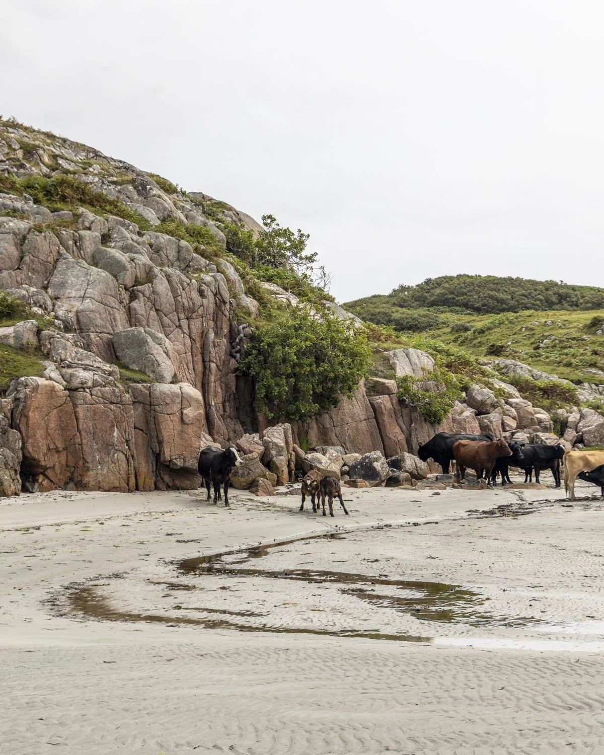
To find the causeway you walk along the grass to the right of the beach (north) and it will bring you out to a large expanse of sand between the hillsides (0.8 miles/1.3km from where you parked).
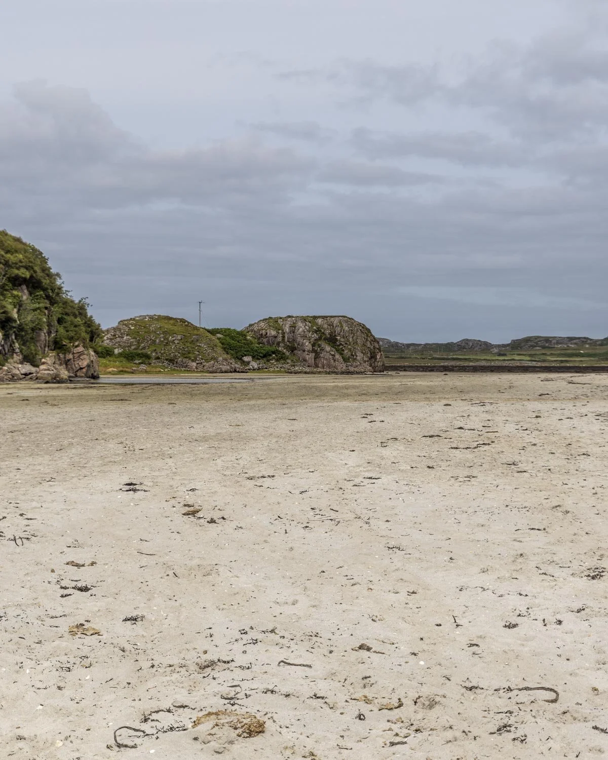
Again, it was a bit more of a wet muddy beach than the pristine golden sand I’d seen in photos, but none of that mattered since it was leading us to the spectacular Traigh Geal (Balfour Bay)!
The sand bar was so wide for us on a mid tide that I didn’t know we were actually on the causeway at first.
Having read that the crossing could only be made an hour either side of low tide I was expecting to have to wade through water on a mid tide and maybe even wait it out a while.
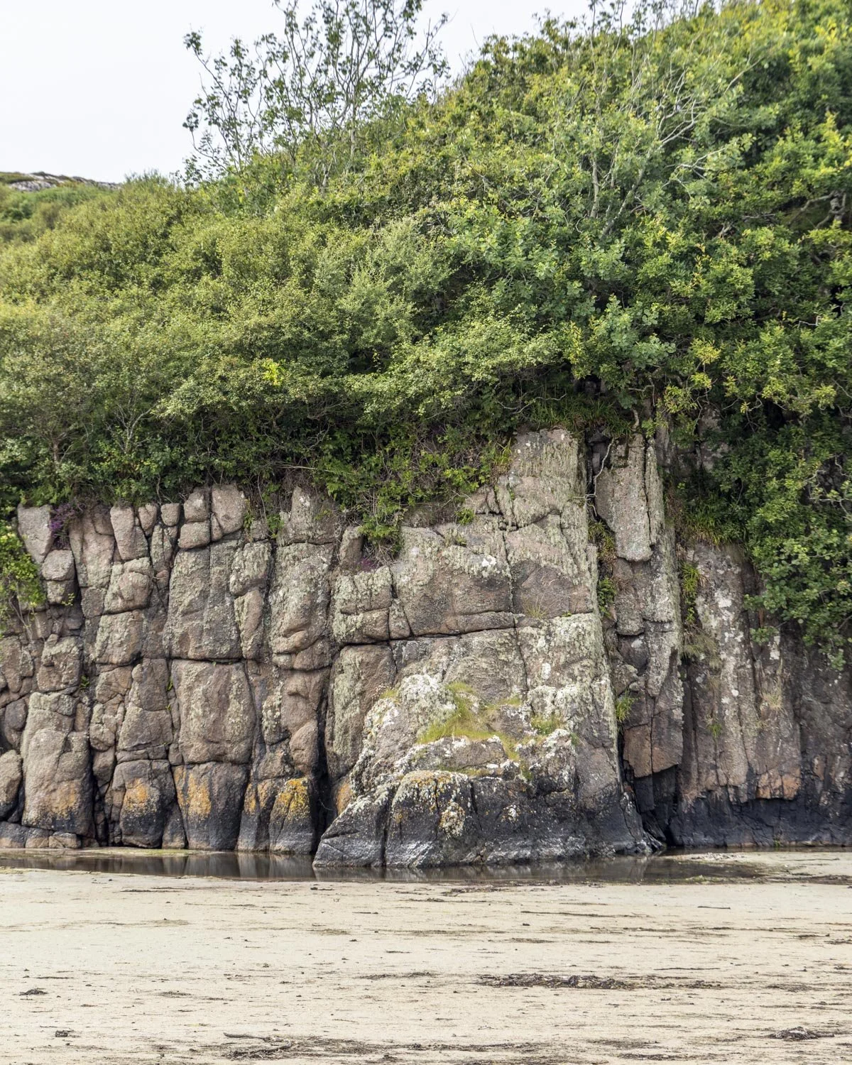
I couldn’t believe the huge amount of exposed sand we had to cross and it definitely made it easier than expected!
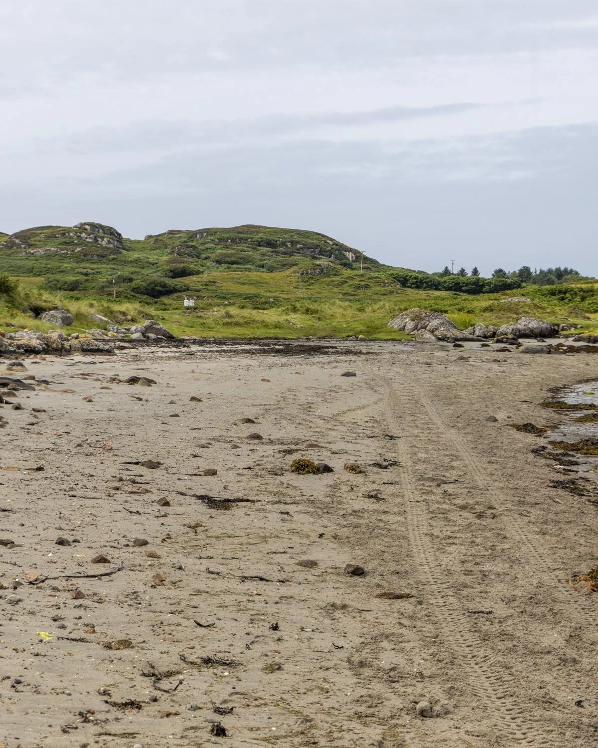
The direct route to Traigh Geal (Balfour Bay)
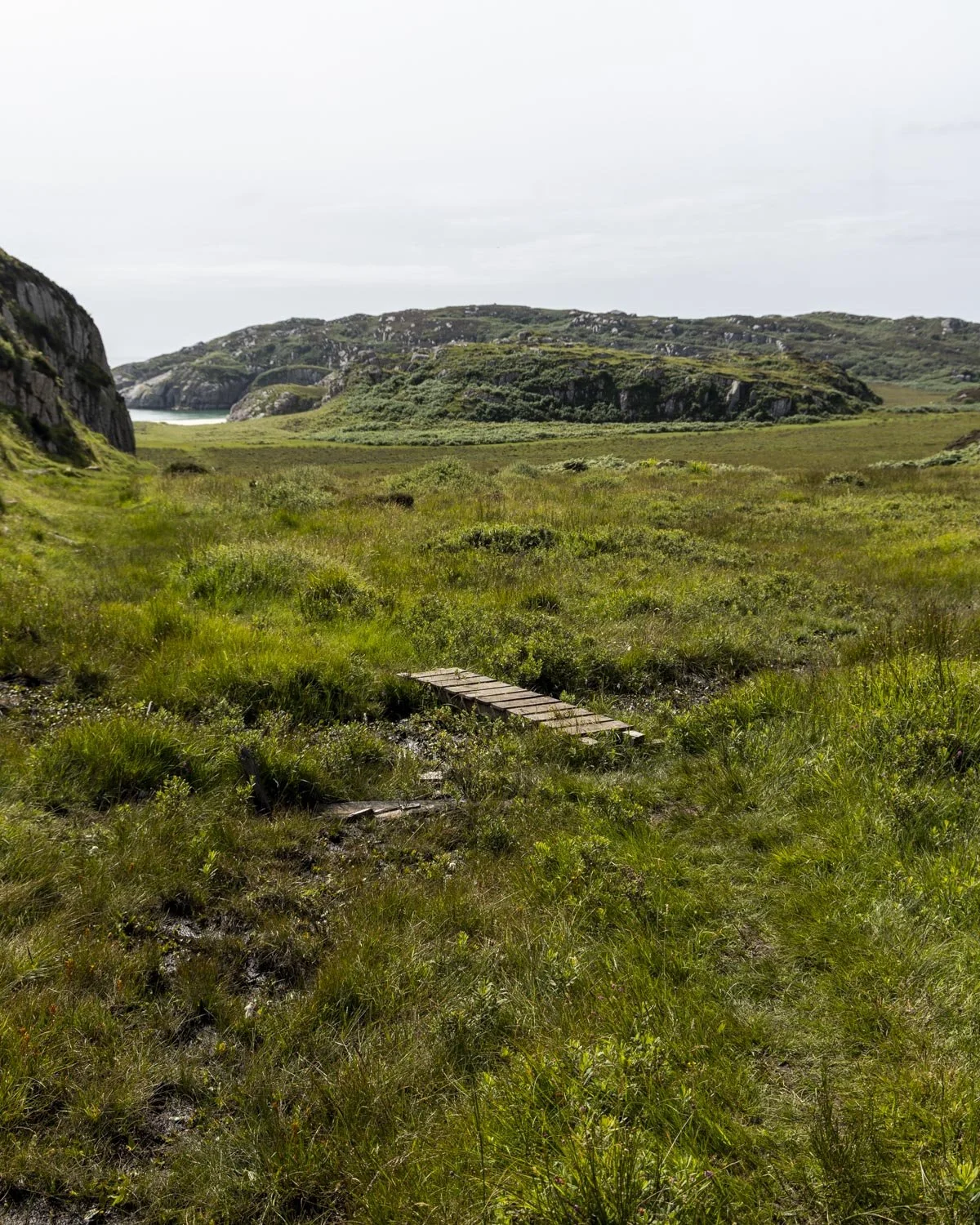
If you simply want to get to the beach as quickly as possible you want to walk along the causeway for about 300m and then head up onto the grassy bank on the left. There’s a bit of a trail but it’s not overly obvious and it’s very boggy.
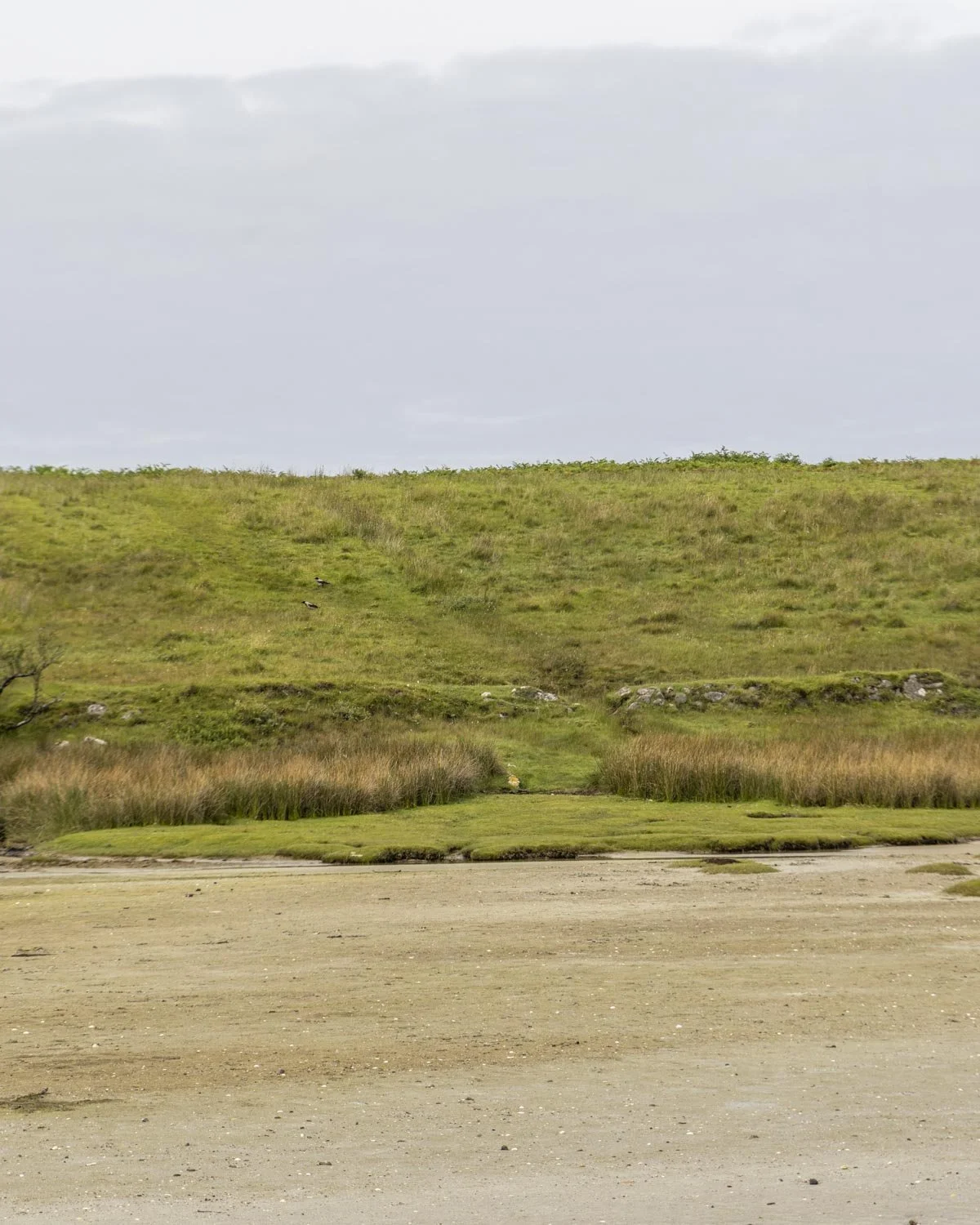
Be careful where you step at this first bit as some of the boggy patches were much worse than others, sometimes a long leg stretch was required to avoid the worst of it.
The absolute worst of it is the first 50m of this section so once you’re over that, know that it doesn’t get worse!
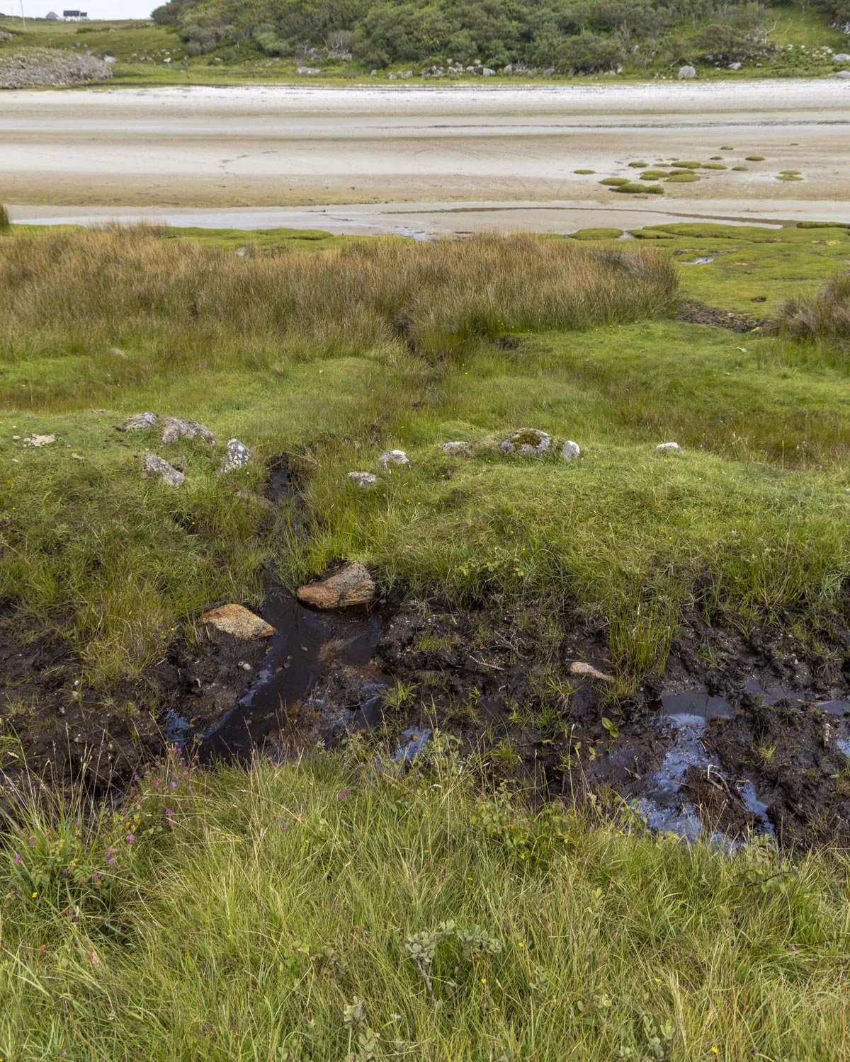
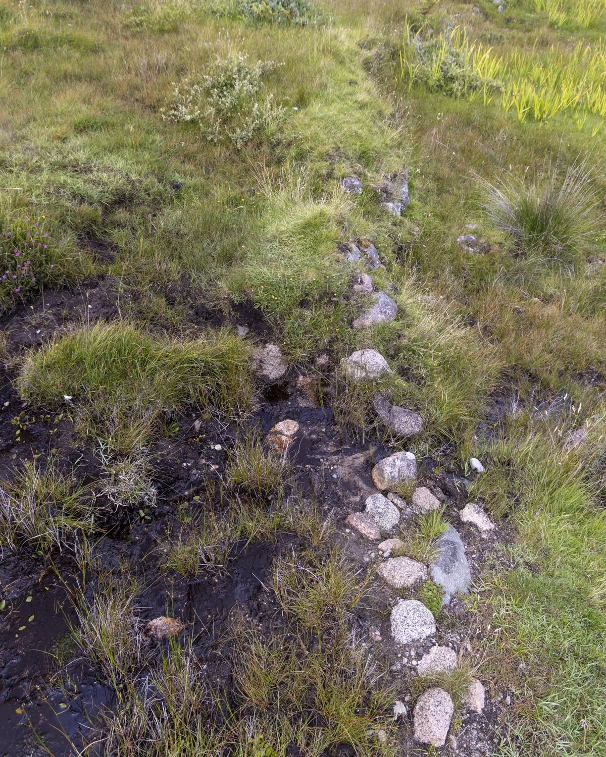
To get to the beach you will make your way uphill along grassy tracks which are often indistinct. As long as you head roughly in a south westerly direction you will get there, but everyone will walk a slightly different path at times as it’s not defined.
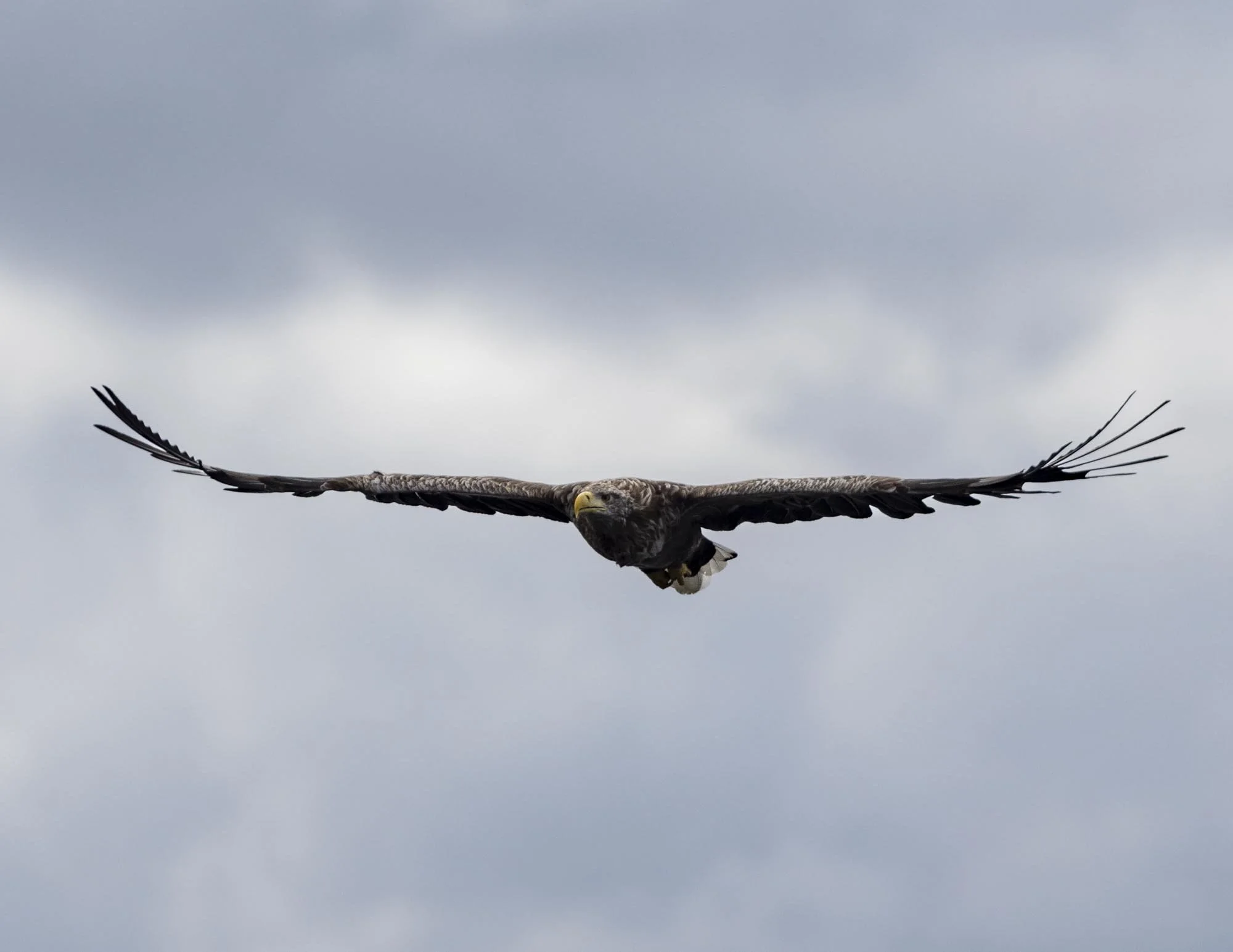
Keep an eye out for hen harriers here, we were lucky enough to see three, though we sadly didn’t get any photos!
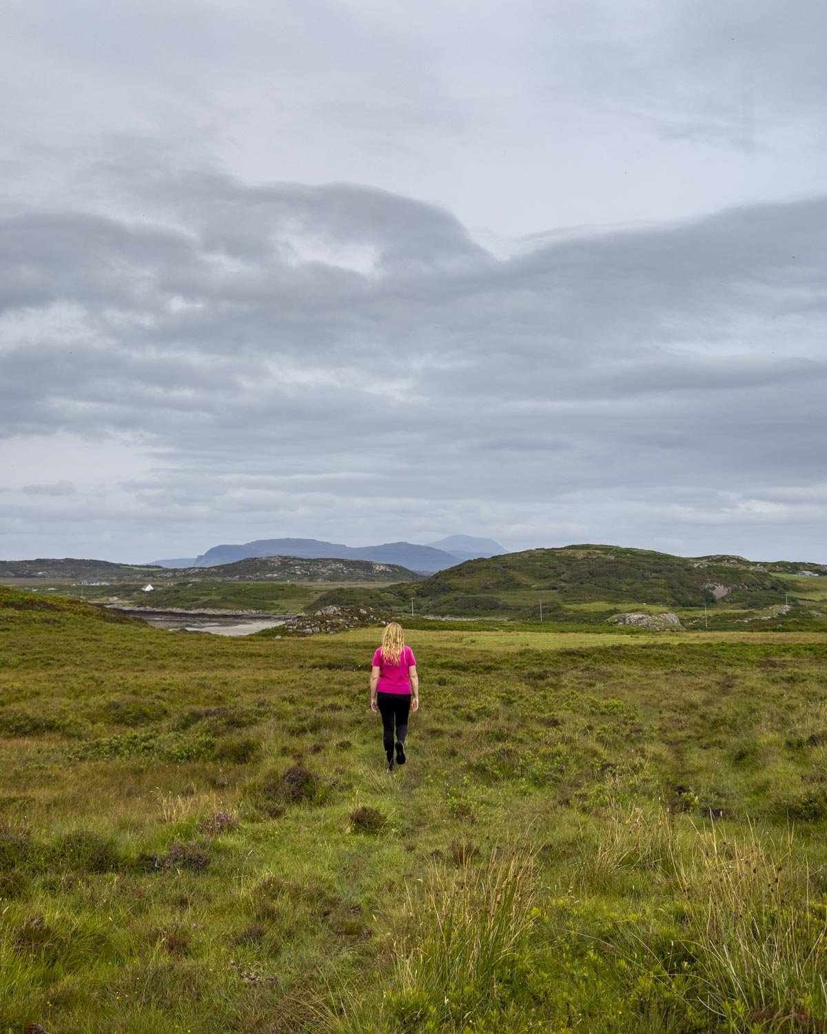
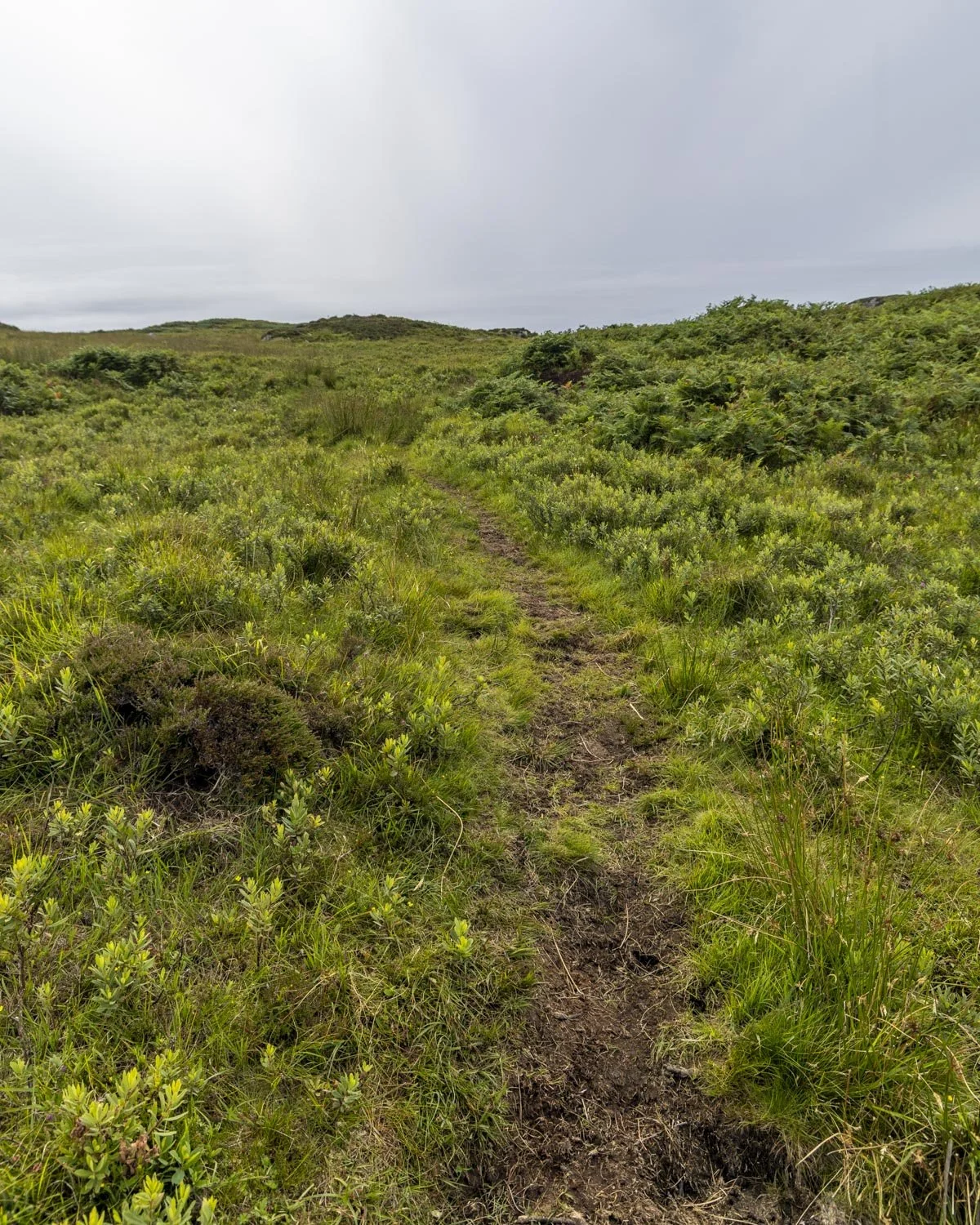
The ground is boggy on and off (but mainly on!) for the first kilometre, though it may be better if you’re lucky enough to be walking in drier times than we were.
The first marker to help you know you’re on the right track is a house with lots of solar panels, 400m from the causeway. The house will be a way off to the right but it’s a good landmark in lieu of any signposts!
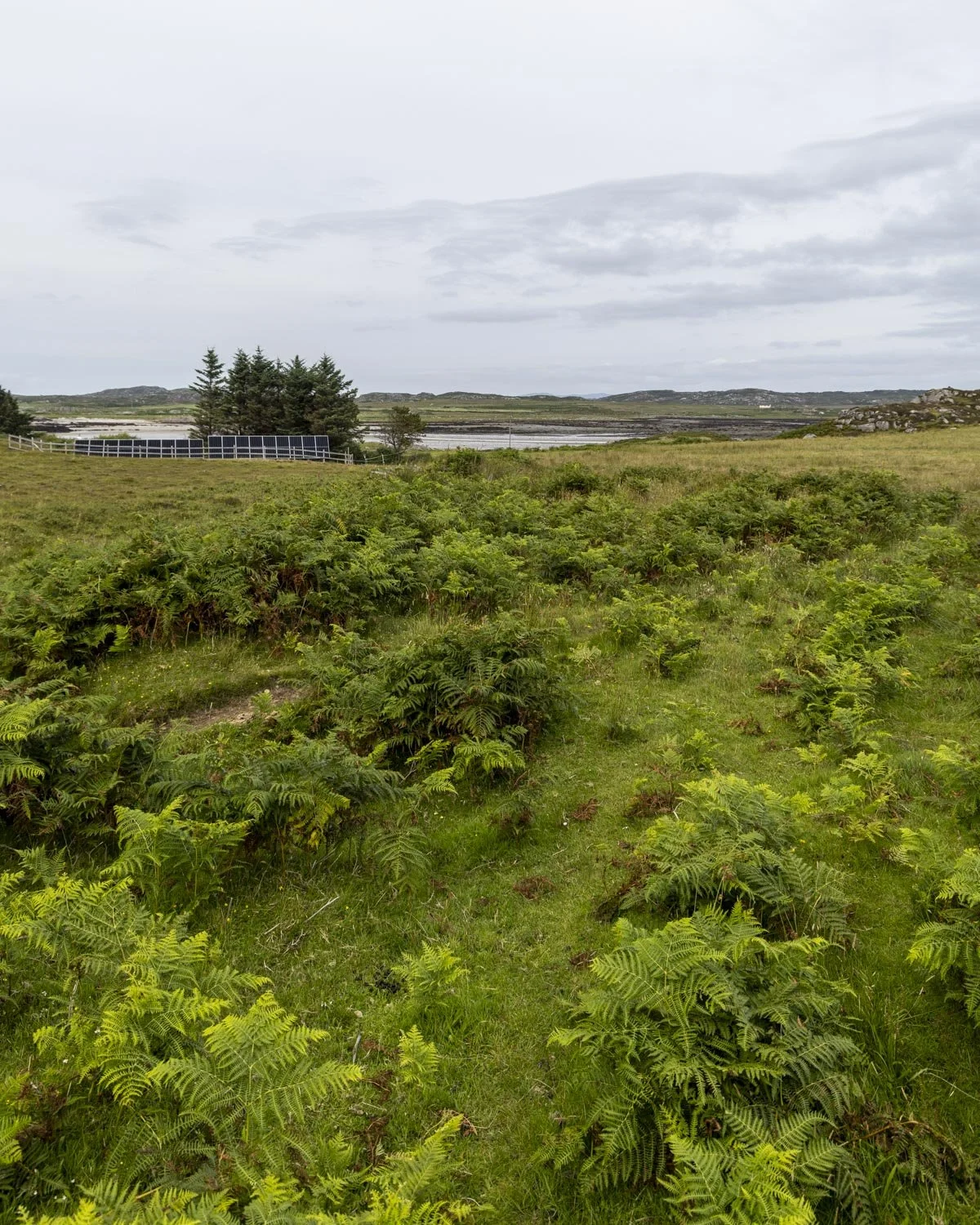
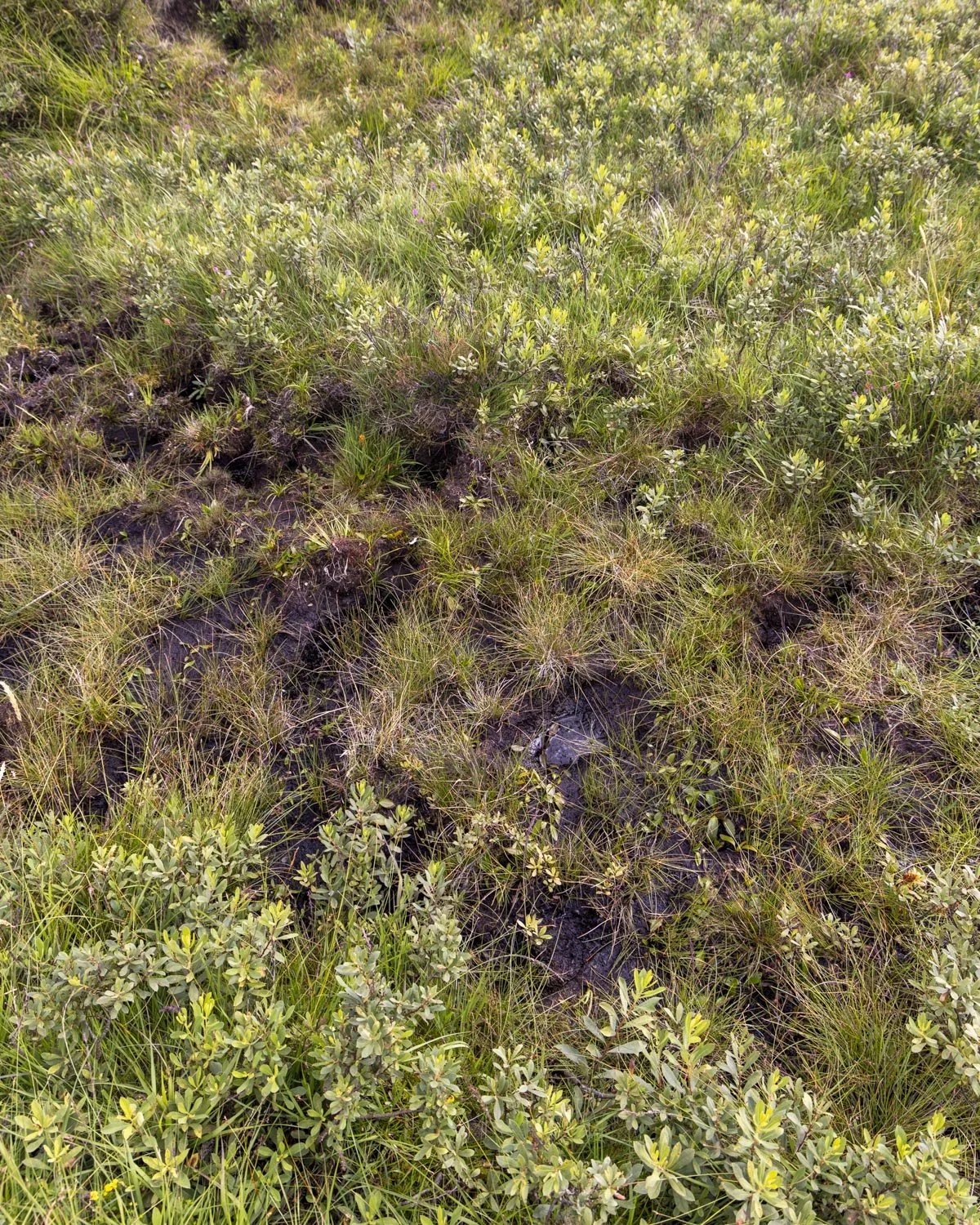
Just 60m from here there’s a small bridge and then it’s a 300m climb to the top of the hill. You now have a 400m descent to the beach, we kept to the left and this is where you will find various planks of wood which help you over the worst of the mud on the way down.
There are also bits which are pretty dry so don’t think of it as a 400m bog slog.
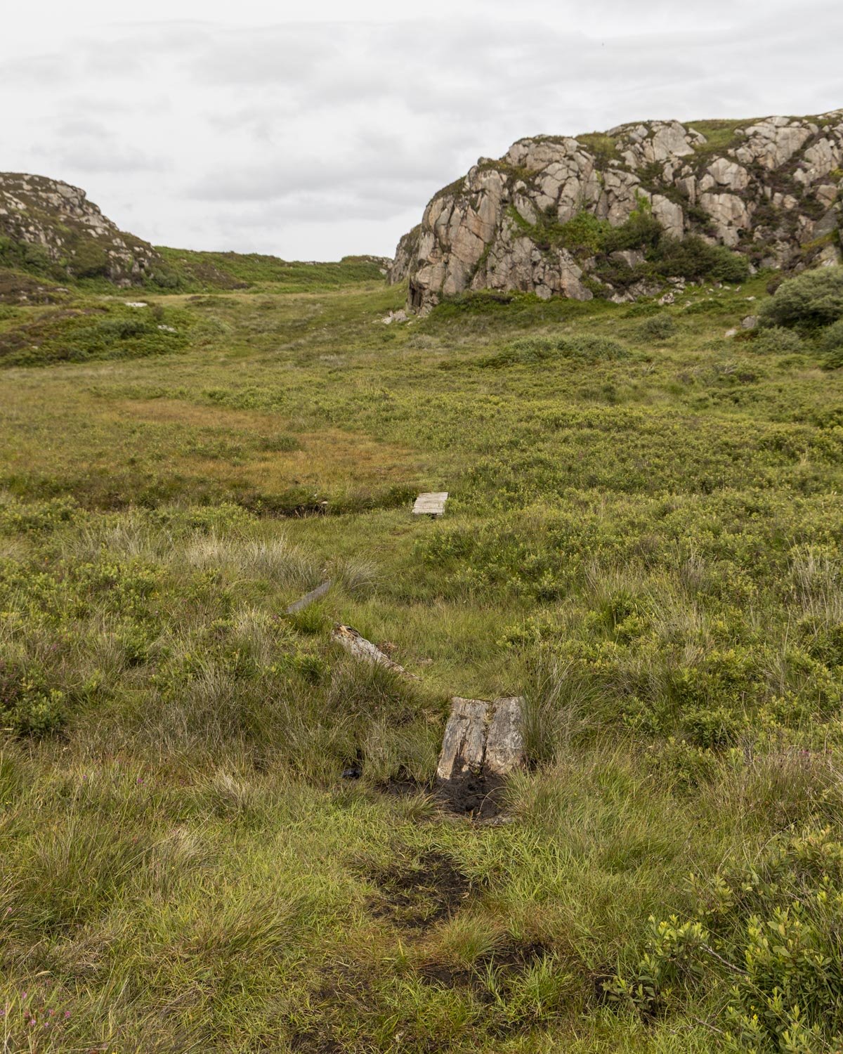
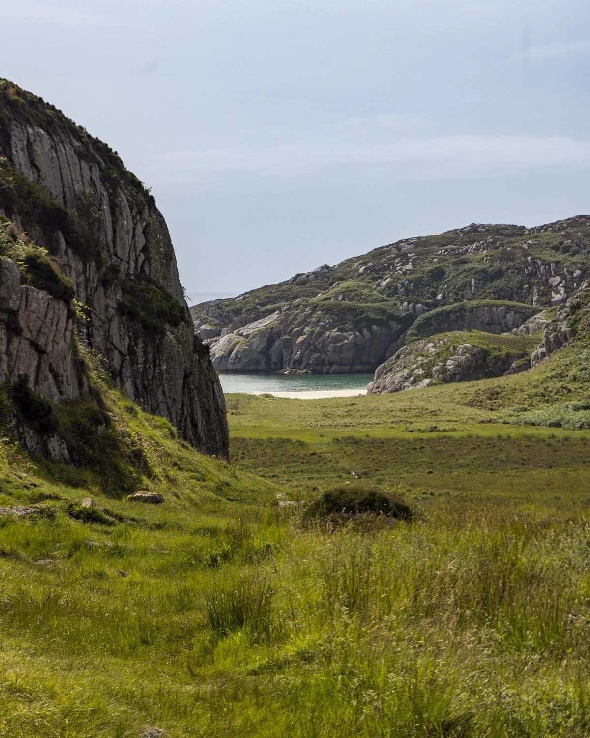
The terrain is uneven the whole way but not too challenging and once you’re through the section with the wooden planks it’s far less boggy.
You’ll arrive at the beach 0.9 miles (1.4km) after leaving the causeway, or just over 1.7 miles (2.7km) from the initial farm gate.
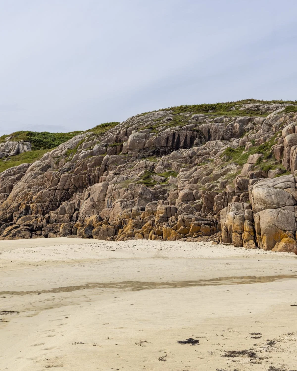
Traigh Geal (Balfour Bay)
This was the first walk of our August Scottish trip and given the season I hadn’t expected anywhere near as much boggy terrain. I was questioning my life choices until the moment I saw the beach for the first time!
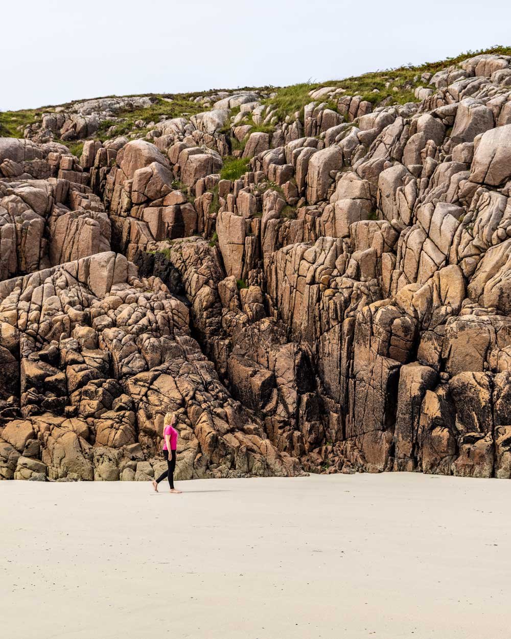
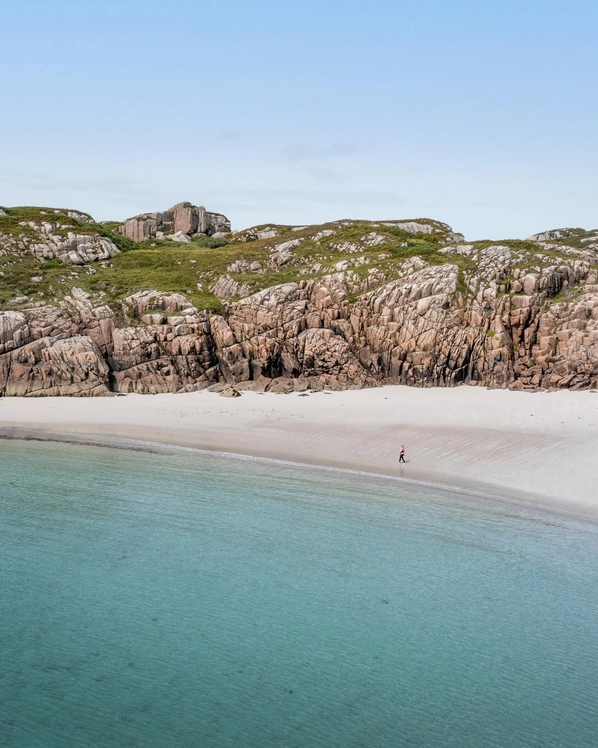
I think I laughed in pure surprise because I didn’t really have any expectations and it was so utterly beautiful! I ran across the beach, again in disbelief that there were no other footprints in the sand and that’s when I realised Mull was going to be a pretty special place.
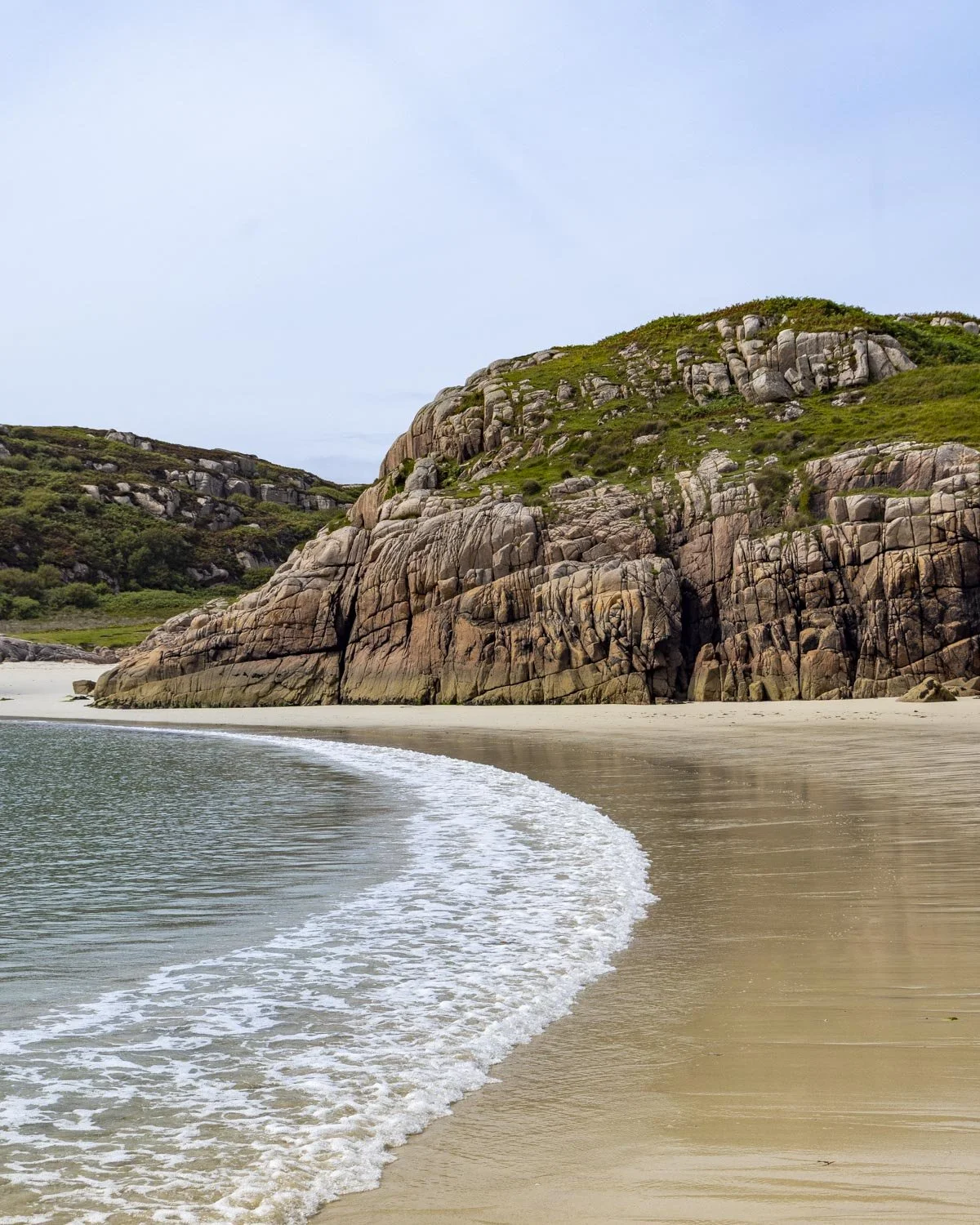
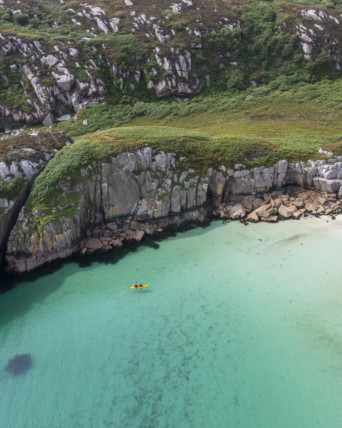
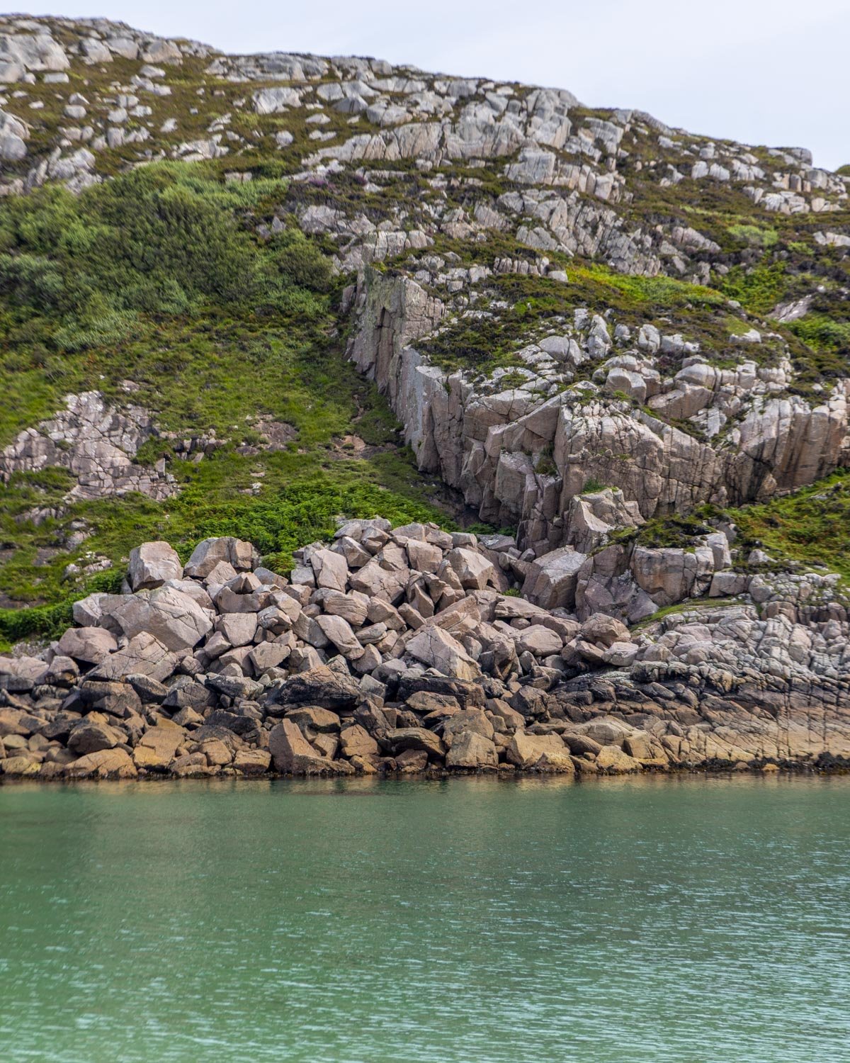
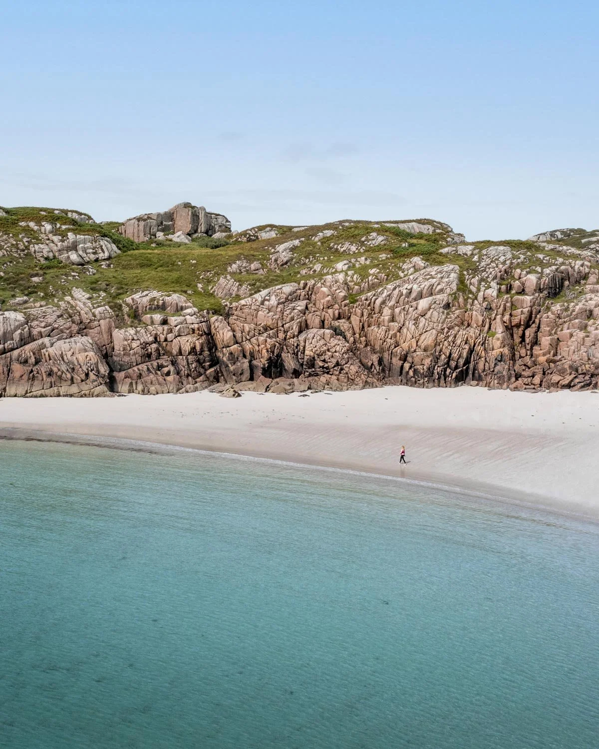
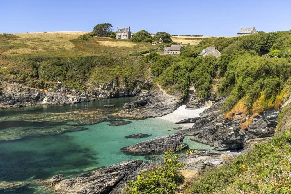
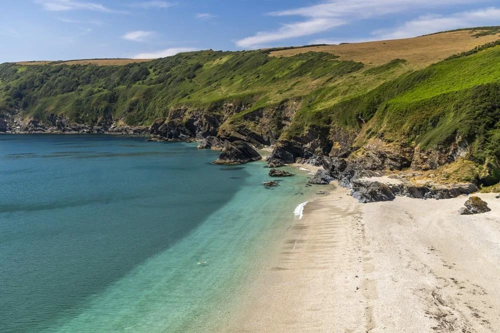
The beach is fabulous, not by UK standards, but by any standards. The sand is soft and white, the water turquoise and the pink granite walls added a dramatic wild feel.
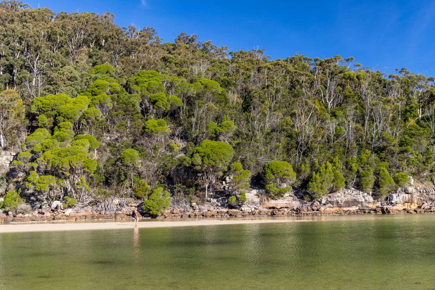
In fact, it reminded me a lot of some of the beaches in Tasmania and that is very high praise indeed!
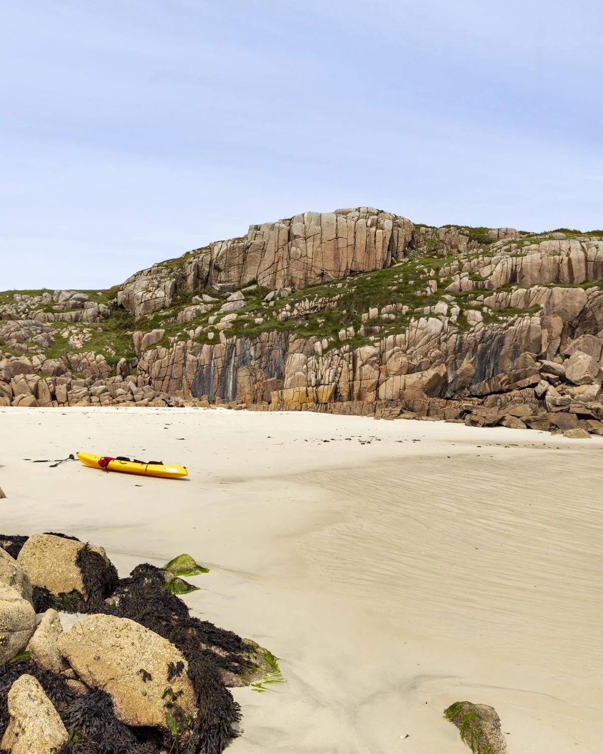
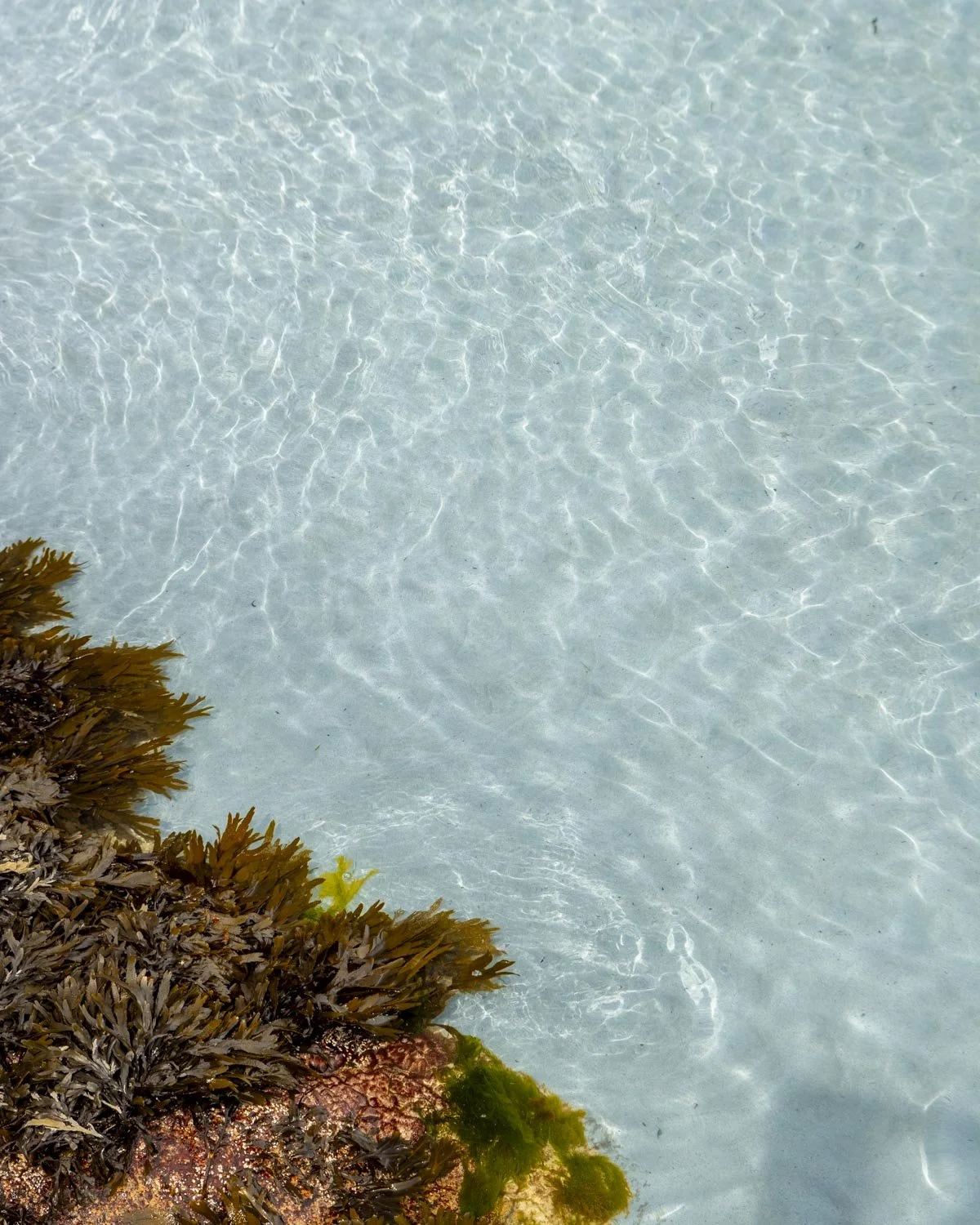
We only had a glimmer of sun and I can only imagine what it would have looked like if there had been blue skies - if you possibly can visit on a sunny day, you honestly won’t regret it!
As well as being spectacular, the beach is great for swimming, with a large calm bay and clear water. I was expecting the water to be freezing but it wasn’t, it was pretty warm and not dissimilar to the water I’d swum in the week before in Cornwall.
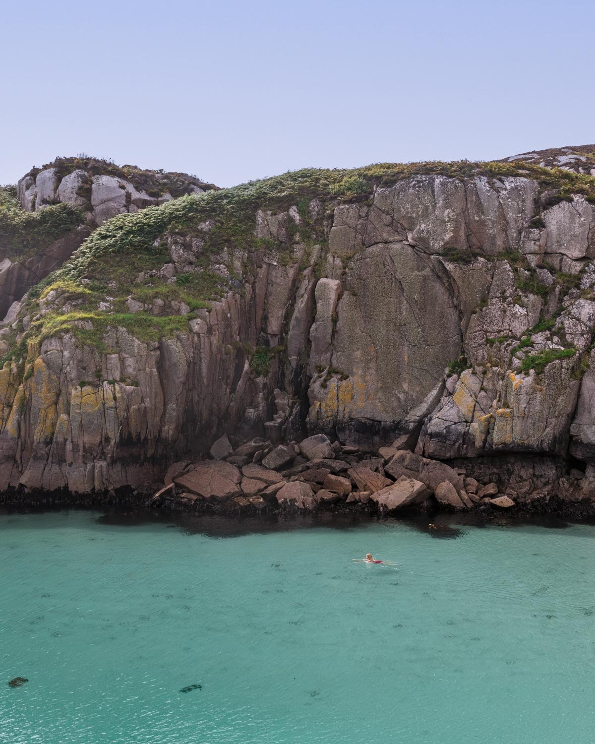
Not sure quite how that works but it was glorious! I love cold water swimming so I wouldn’t have minded it being cold but it was a nice surprise to find it mild, especially as the air temperature was very cold!
It was also a treat to walk in off a sandy beach, no rocks to awkwardly shuffle over here!
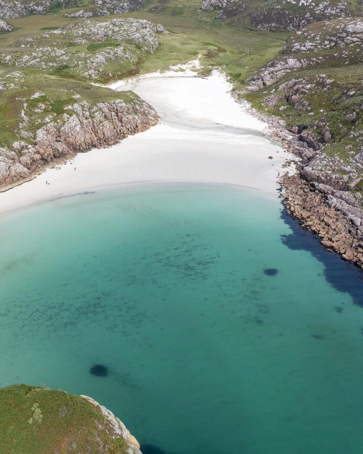
You couldn’t ask for anything more, and though after a little while one family did join us on the beach, it was still incredibly quiet for an August visit, and in fact, there are two coves here, so we spread out and took a cove each!
Traigh Geal (Balfour Bay) via the long route
From the causeway to the lighthouse
The walk to Traigh Geal via the longer route is the same as for the short route up until you reach the causeway, just over 1.3km from the parking area or 1km from the farm gate.
At this point instead of cutting up left onto the boggy grassy track that leads uphill you will continue along the sand which rounds the corner after a few hundred metres.
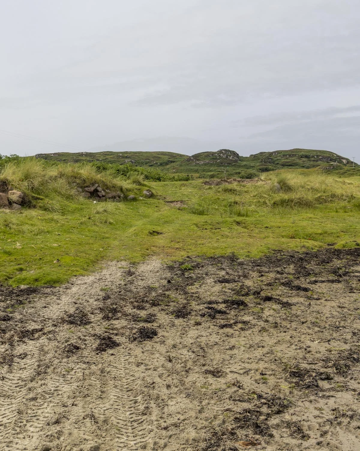
Once you’ve rounded the corner, you will see a grassy path on your left which soon passes some houses. Just beyond this you will cross the beach again before heading back onto the grassy track.
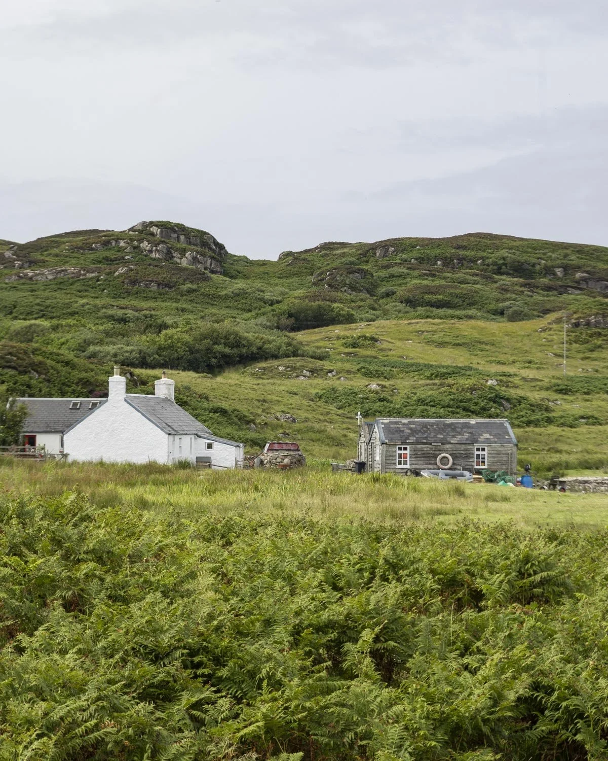
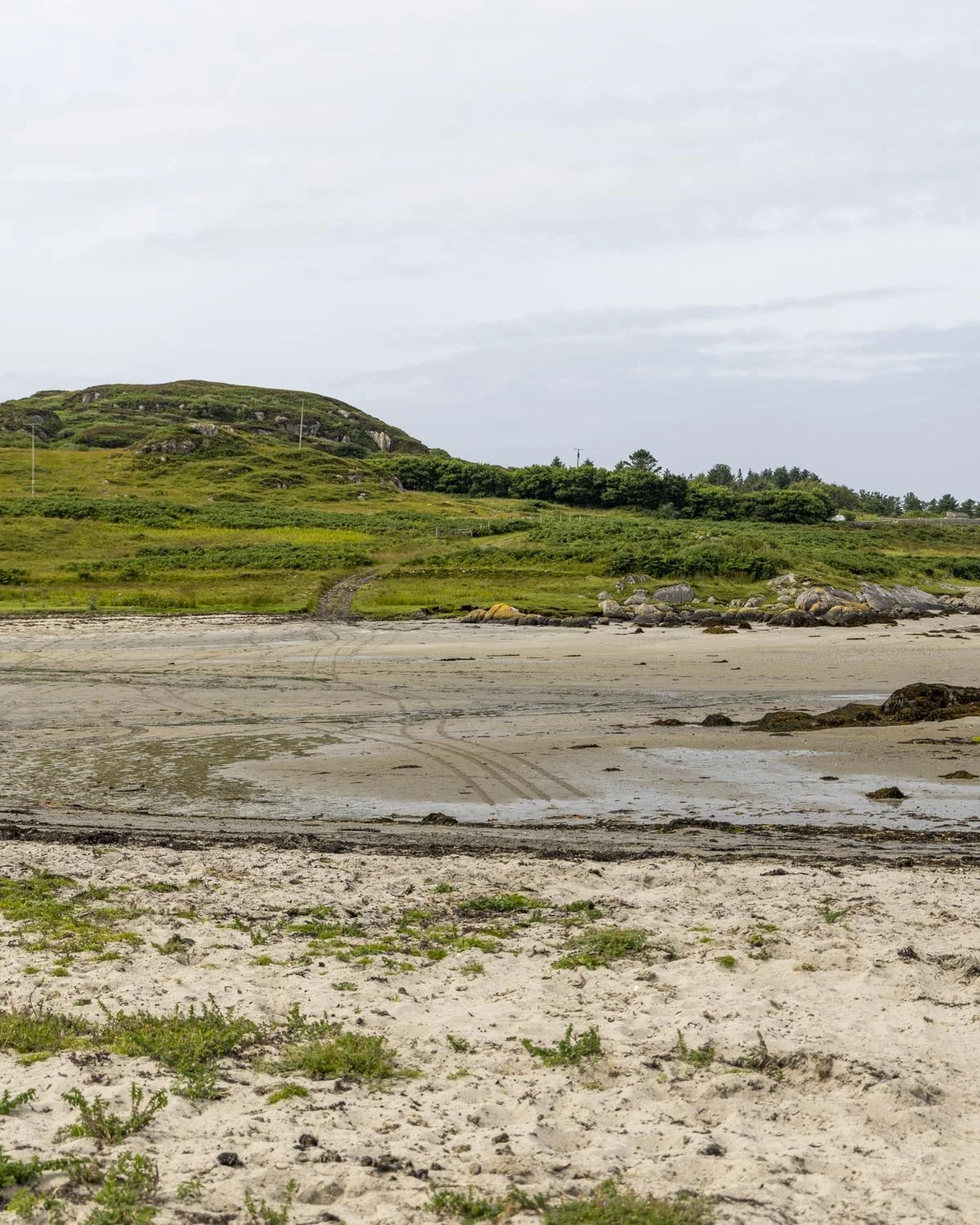
Keep following this path which is flat and leisurely until you come to some terraced houses, about 0.8 miles (1.4km) from the start of the causeway.
Roughly 100m from the houses there is a gate, pass through it and turn left, then right before the white gate, heading uphill.
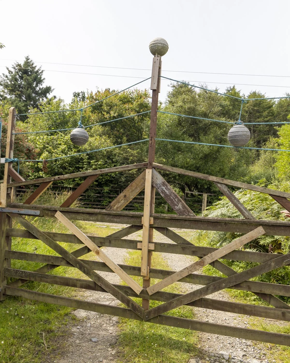
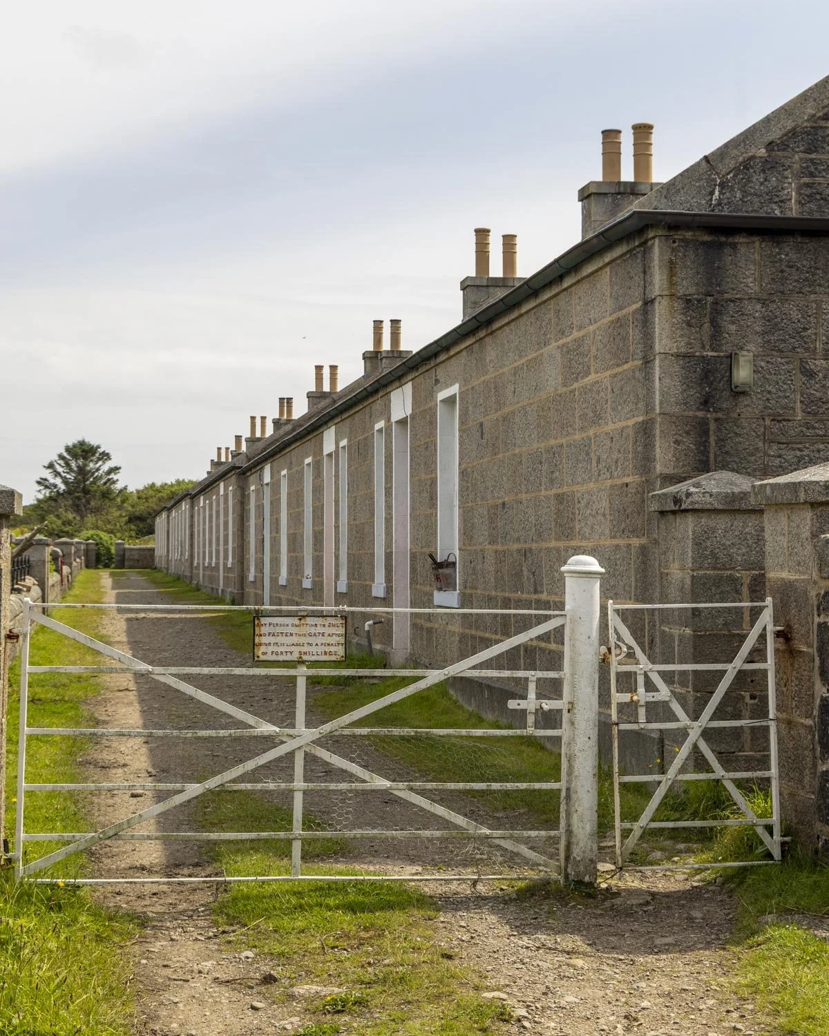
You’ll come to the ruins of an old quarry 150m later, you can have a little poke around before continuing on to the beach. The path will get narrow and a touch overgrown as it starts heading uphill and you’ll soon come to some bog and a bit of a steep rocky ascent - albeit very brief.

You can keep right to avoid the first swampy bit of land but then you will inevitably hit bog anyway and there’s more to come before you reach the beach, so you don’t need to be overly concerned about keeping dry boots here.
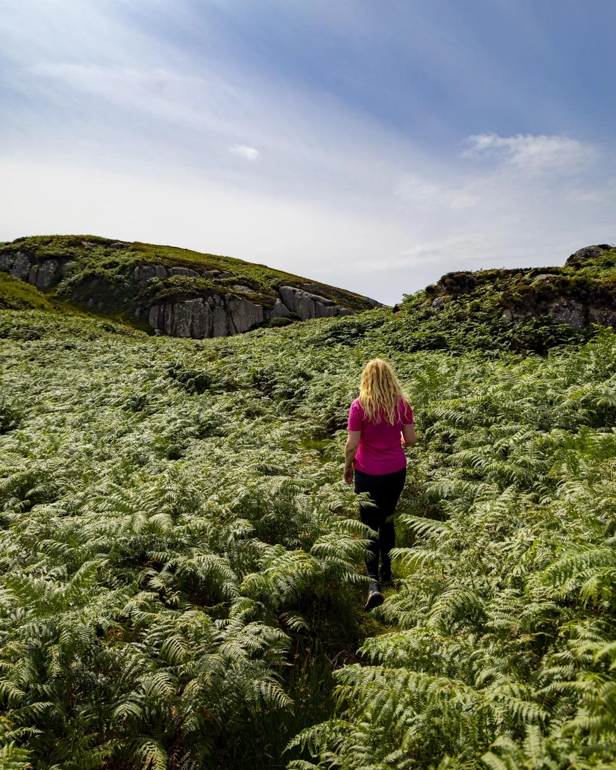
I should note that we missed the little white look out station which I think is accessed just before you climb uphill. We only noticed it from above and didn’t feel inclined to walk back down the muddy path so we skipped it but you might want to check it out before climbing the hill.
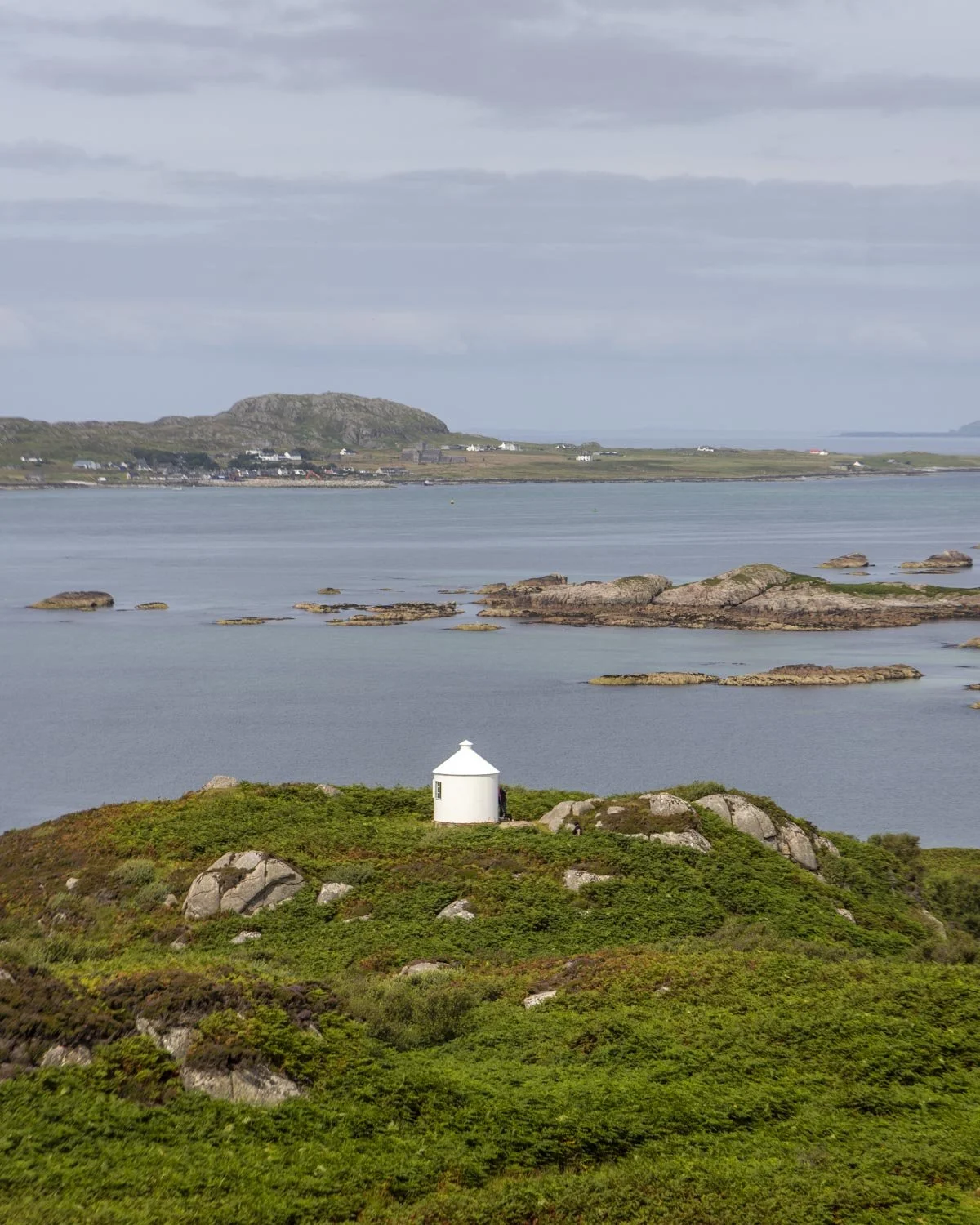
The climb is 350m in total and when you turn around you’ll get a stunning view over the inlet. You can see the island of Iona in the distance in one direction and Ben More in the other.
It’s a gorgeous view and definitely the highlight of the circuit route.
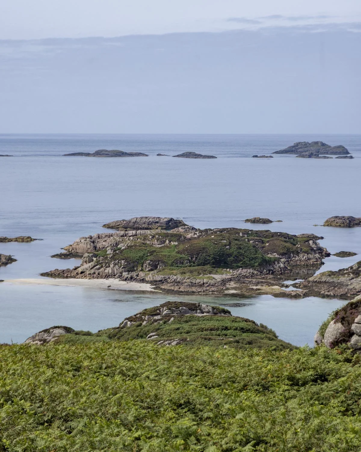
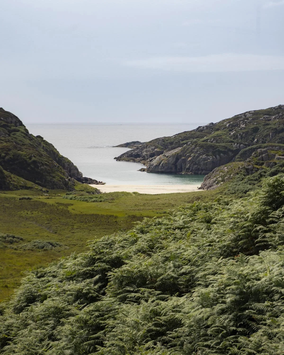
You’ll also catch a glimpse of the beach you’re heading for and it will definitely motivate you to get down there as quickly as possible!
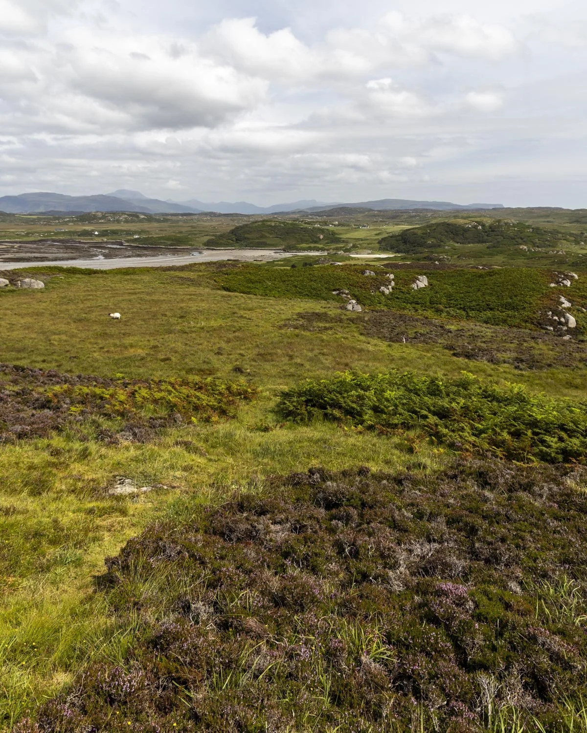
From the top of the hill the path is very difficult to follow and all the little sheep tracks look like proper paths until you find they end at a cliff edge! The temptation is to head in a straight line for the beach, following the gradual path downhill (almost south).
The best way to descend is to head in a south easterly direction, aiming for these co-ordinates : 56.2955607, -6.3686725. This will bring you to a gully that doesn’t require clambering down a cliff or doing anything dodgy.
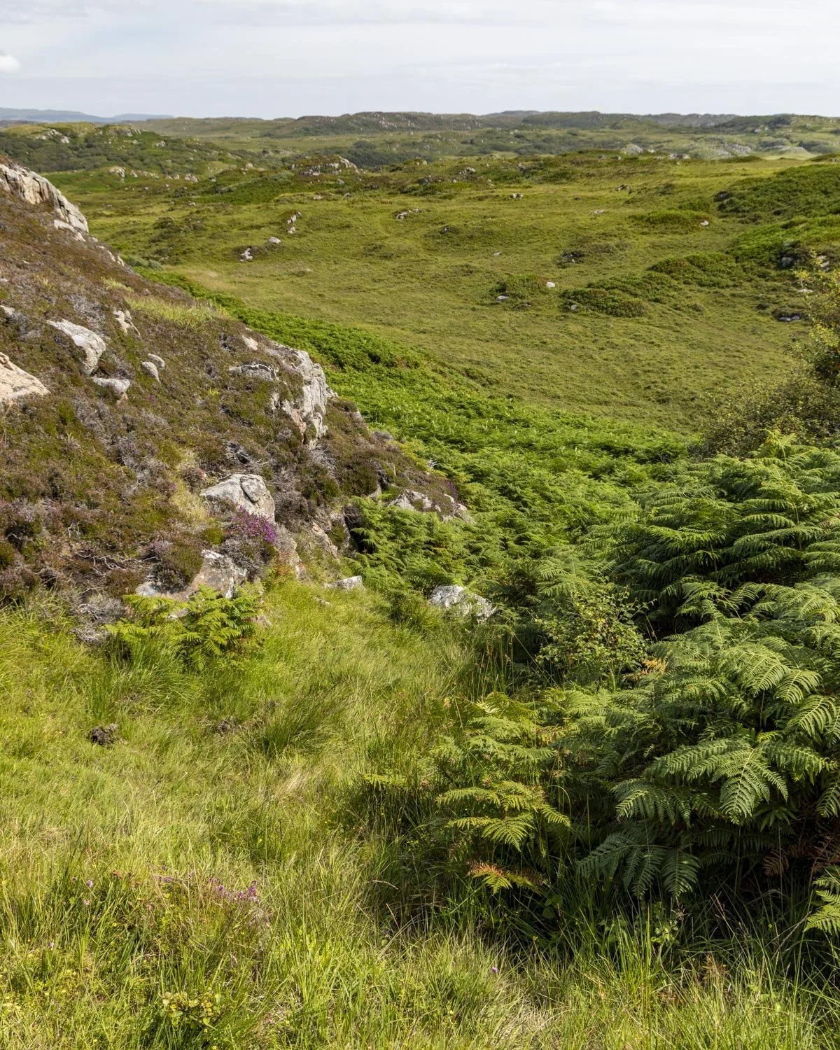
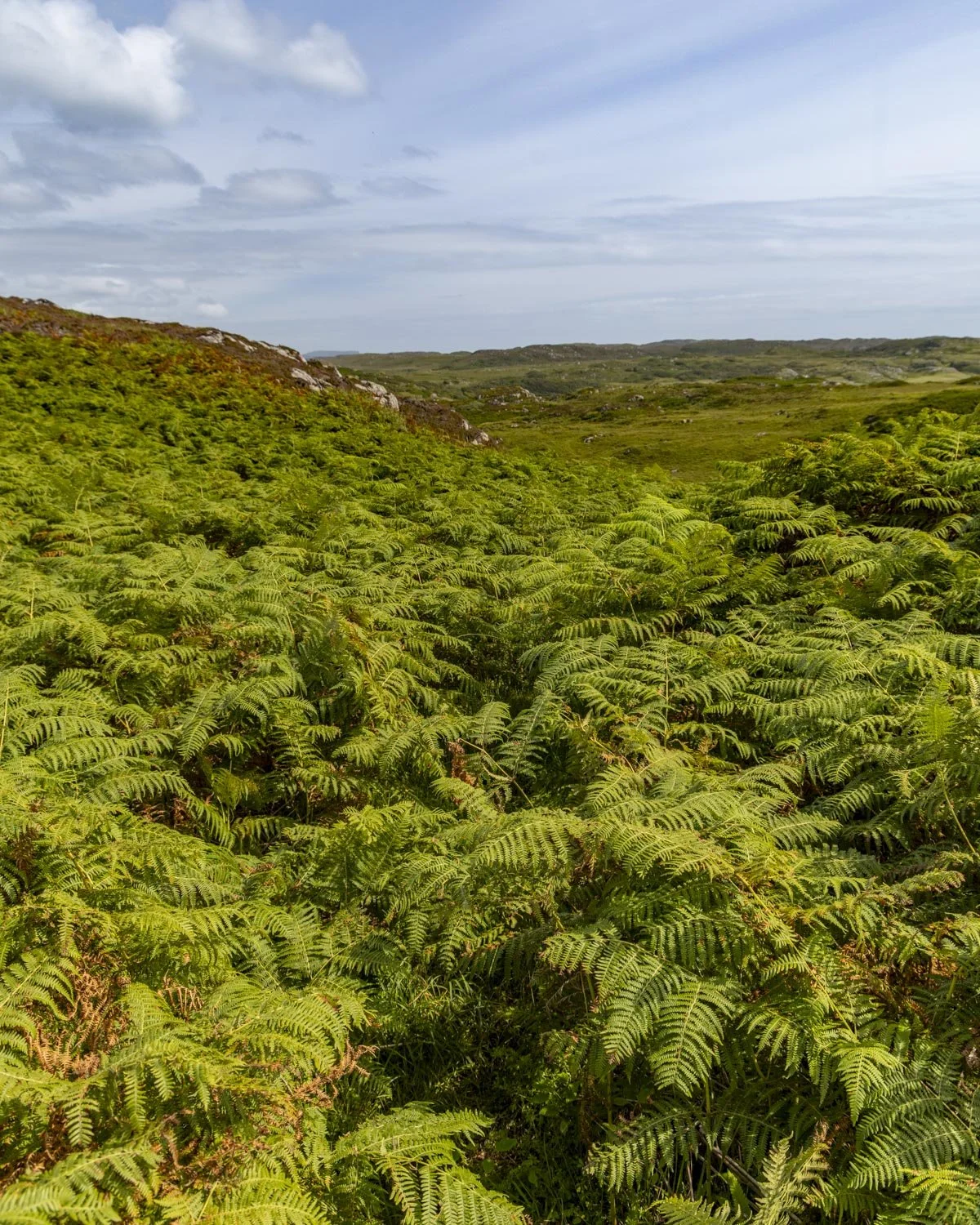
Using this route the descent is quite easy and not overly steep at any point. The ground was very wet on our visit but even then it wasn’t slippery.
When you have completed the descent you will cut across the boggy grass all the way to the beach (this meets up with the short direct route described above). Look out for the little wooden planks which help you over the worst of the bog. It’s around 500m from the bottom of the descent to the beach.
Parking for Traigh Geal (Balfour Bay) and the Erraid Island circular walk
There is no offical car park for the walk, but room for several cars to pull fully off the road about 300m back from the farm gate at these coordinates: 56.300137, -6.342771 (you can also find the spot on Google Maps by clicking here).
On the way back we did see someone had parked beside the farm gate, but we weren’t sure on etiquette as it might have been hard to pass if big machinery had needed to come through.
Erraid Island is on the far south western side of Mull, so it’s a bit of a drive from Tobemory (1 hour 50) and Craignure (1 hour 15 minutes) but it’s worth it. There are no toilets or any other facilities either at the parking area or anywhere along the trail.
This post may contain affiliate links, meaning at no additional cost to you, that we will earn a small commission if you click through and decide to make a purchase. This helps towards the costs of running our website. Thanks for your support.




Everything you need to know about the short and circuit routes to Traigh Geal (Balfour Bay), one of the most beautiful beaches in the UK. With white sand, turquoise water and pink granite rock walls it’s a must do when visiting the Isle of Mull.