
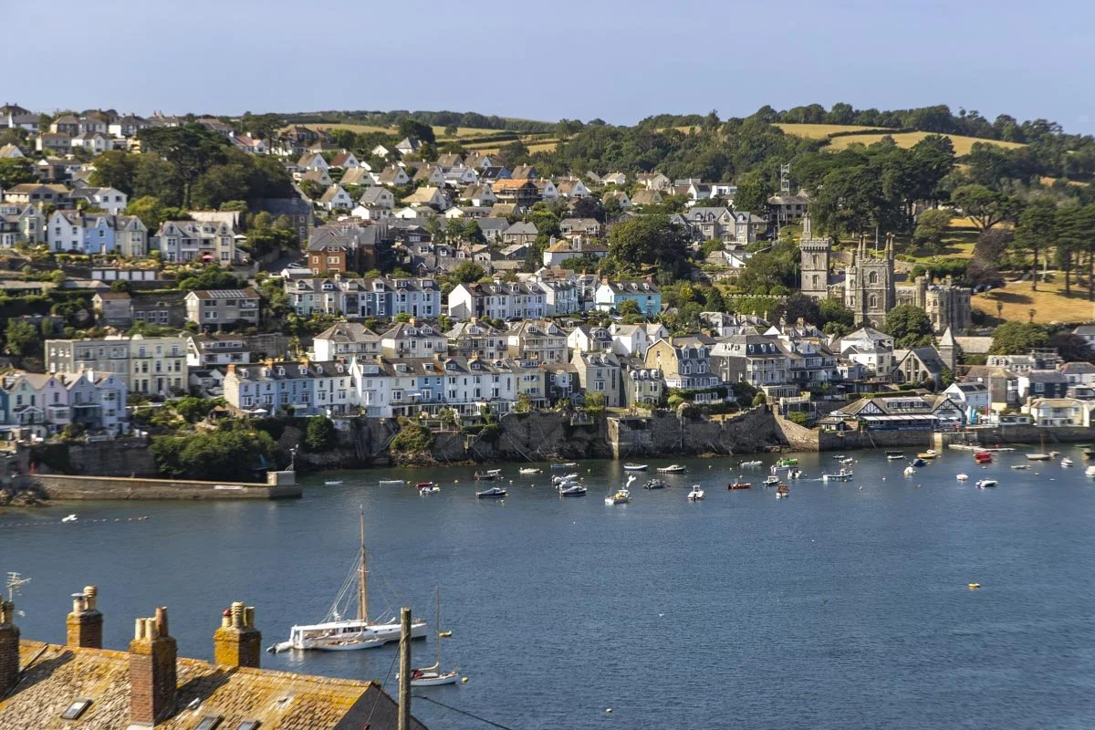
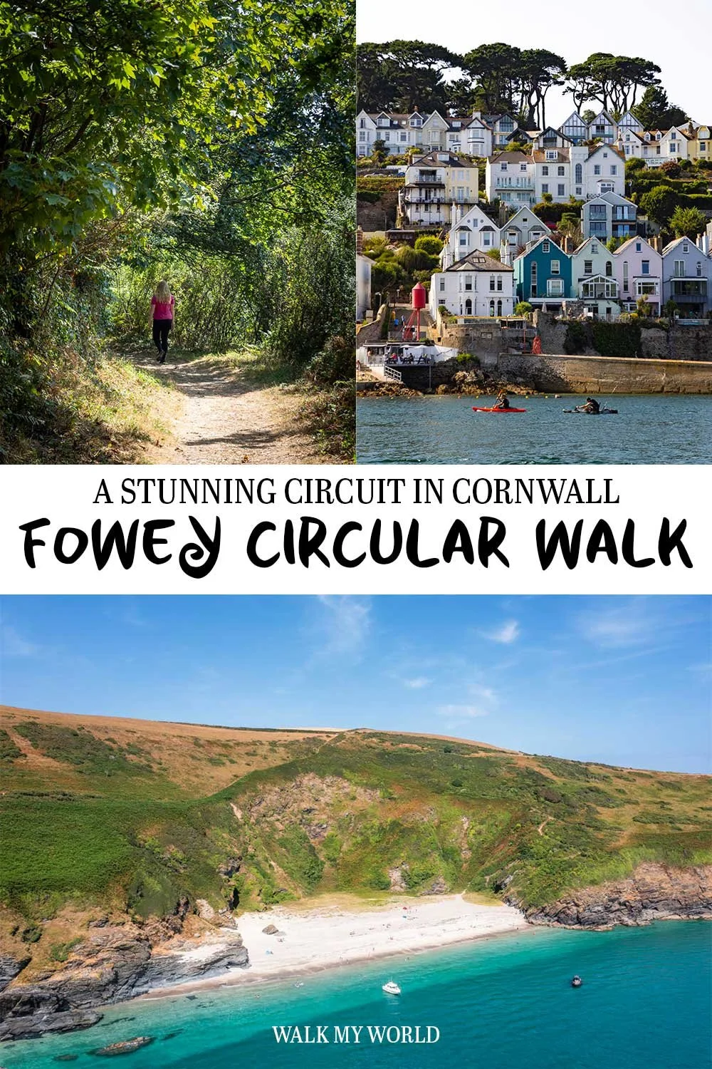
This gorgeous circular walk is one of the best in Cornwall, with stunning harbour and river views, pretty woodland and the chance to visit a jaw-dropping beach - do not forget your swimsuit for this one! You’ll need to take two little ferry rides but they run very regularly and definitely add to the charm of the walk.
The route has some uphill sections, but plenty of flat track, so it’s relatively easy overall. It’s also a surprisingly quiet track, even in the busy summer holidays, so if you’re looking for a walk to escape the crowds, this could be it.
Here’s everything you need to know about the trail.
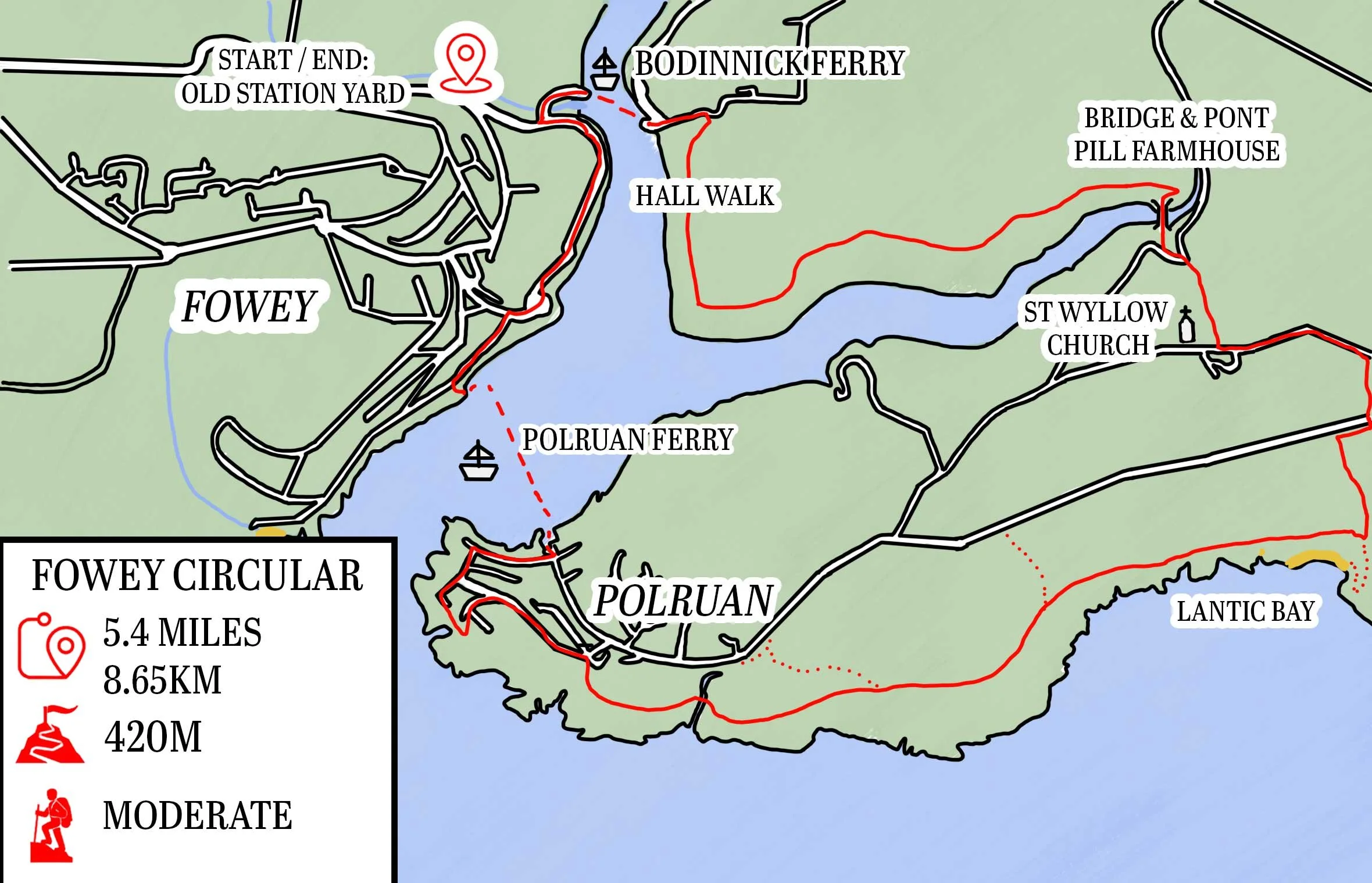
The Fowey Circular Walk
The stats
Distance: 5.8 miles (9.3km) circuit inc the detour to Lantic Bay
Elevation gain: 420m
Difficulty: Moderate
Trailhead: Old Station Yard Car Park, Fowey
Summary: This walk has some elevation gain, but the hills are quite spread out - only the first hill feels very steep. Much of the track is flat or gently undulating and the path is in good condition for the most part.
We walked in summer and experienced no mud at all. At other times or year - or following prolonged wet weather - you can expect there to be some muddy sections, but I think it would still be quite minimal.
There isn’t any tricky terrain on the track, the exception to this is if you make the short detour to Lantic Bay, which does have a little bit of steep loose terrain. However, it wasn’t too slippery and it’s only a very short section.
Though you do have some tree cover at times, much of the walk is exposed to the elements, so you’ll feel it on a hot or windy day.
Lots of Cornish walks have plenty of places to stop for a drink along the way but this isn’t one of them. The first place you can stop is over 4.3 miles (7km) in which is relatively close to the end of the walk.
Starting the trail: taking the ferry to the Hall Walk
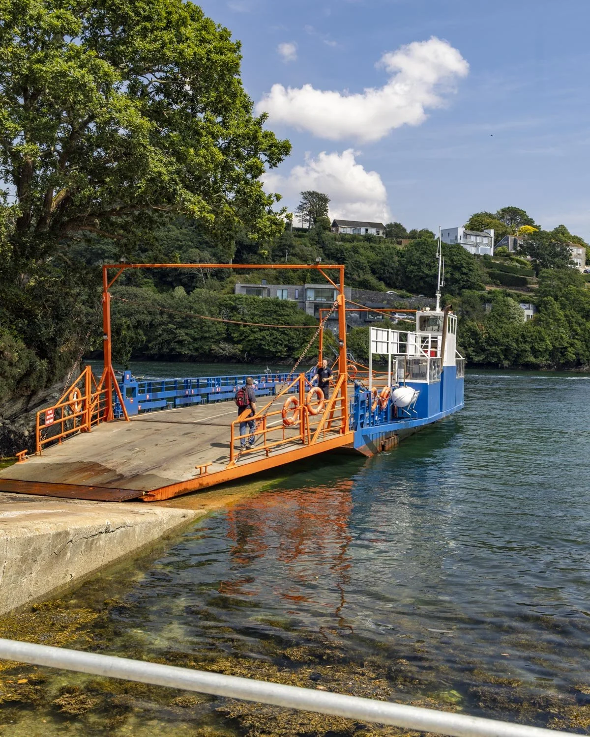
The walk begins at the Bodinnick ferry, which you can walk to from Fowey town centre in about 5 minutes. The ferry is a short crossing from one side of the river to the other and only takes a few minutes.
The current cost is £3 per adult and in summer time it was running between 7am and 8.50pm. Here’s the timetable incase that changes or you’re walking in the cooler months, which have marginally shorter operating hours. You buy your ticket on the ferry and card payments are accepted.

Once you get across to the other side of the river the walk begins with a baptism of fire.
The road leading up from the ferry to the footpath is incredibly steep, though it thankfully only lasts for 160m!
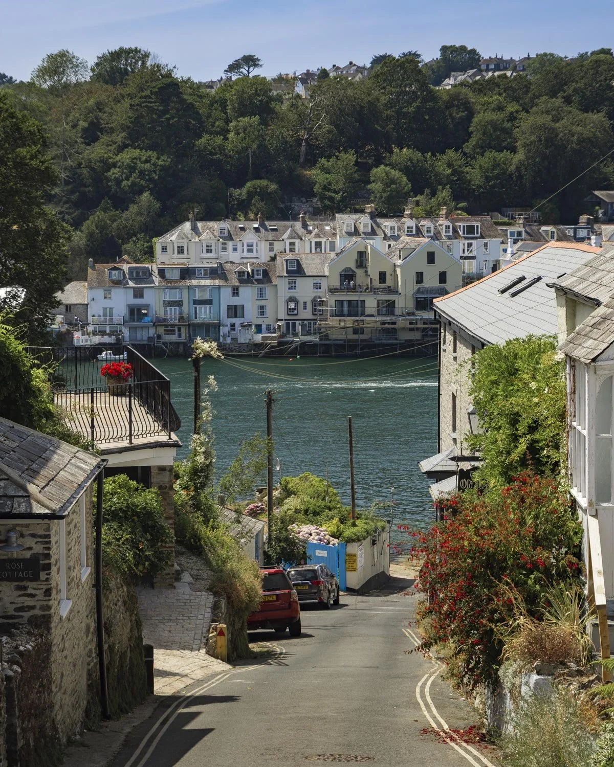
At this point you’ll see a right turn onto the footpath and this is the start of the ‘Hall Walk’ which is the first part of the circuit.
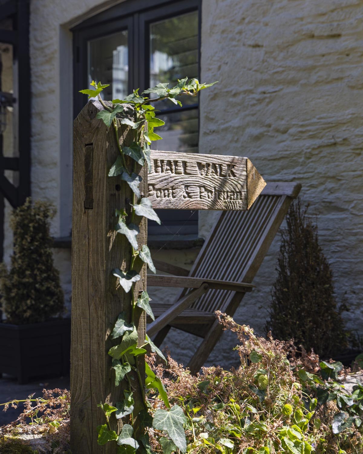
Along the river with stunning views
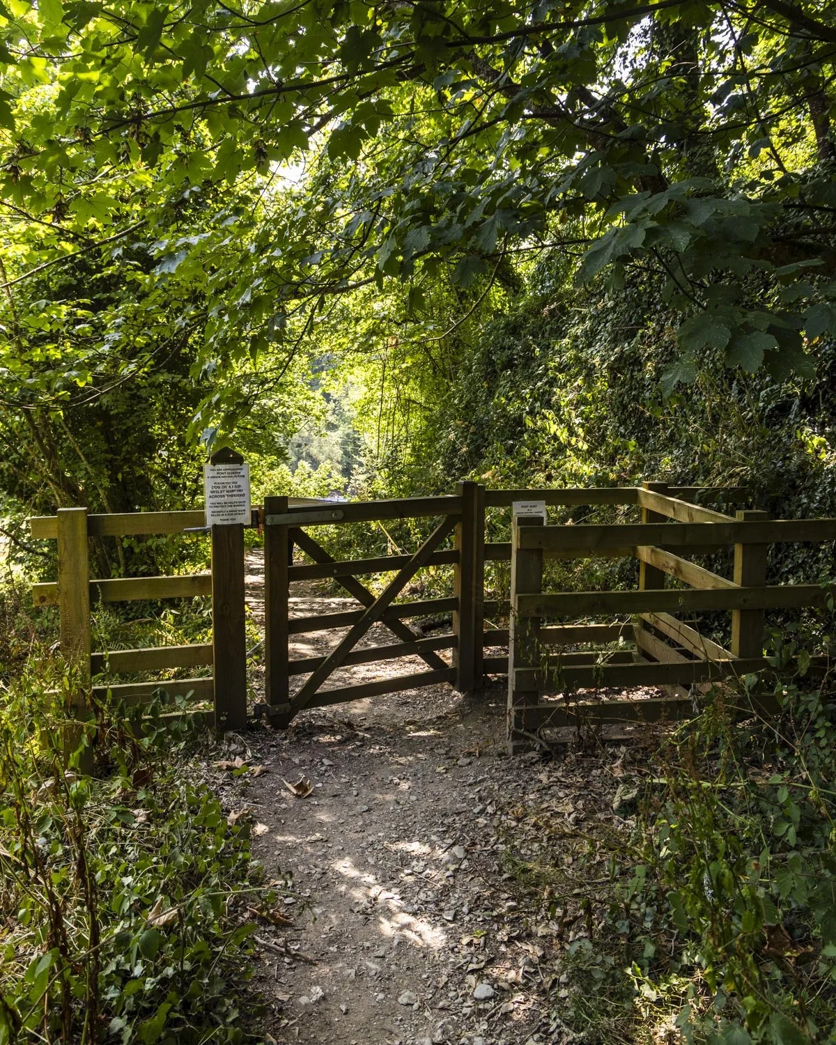
You’ll follow the footpath and after 70m pass through the gate where the Hall Walk is signposted. The path flattens, passing a war memorial where you will continue straight with increasing beautiful views of the river.
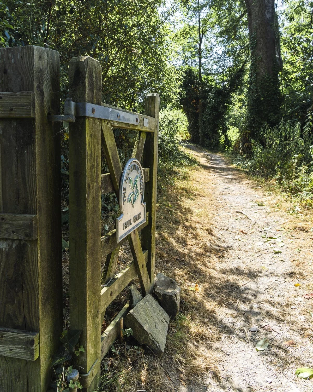
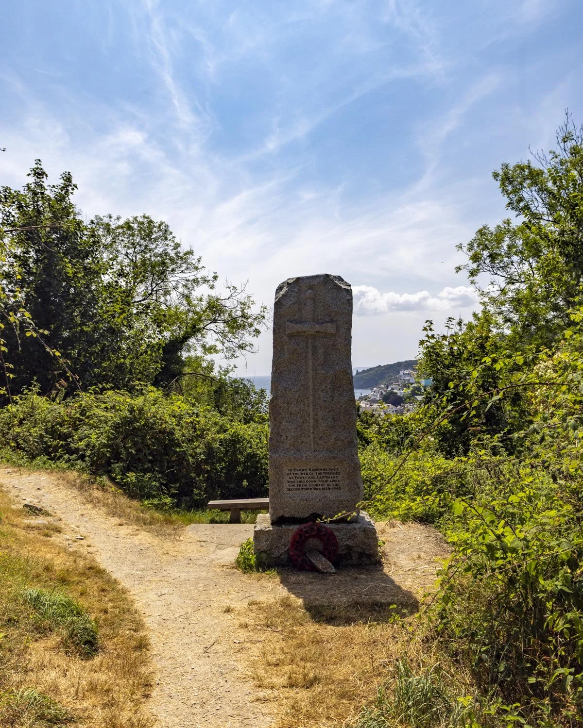
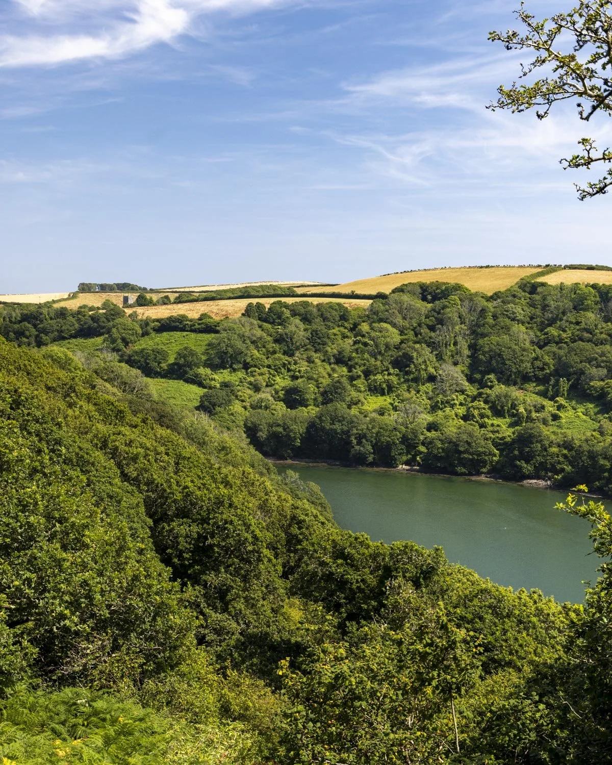
The next stretch of track is both easy and very scenic, walking high above the estuary with all the little sail boats bobbing in the water below.
If you can, time your walk for mid to high tide as the estuary is much prettier then. Otherwise it will be more of a muddy puddle type look, much like we had on the Frenchman’s Creek walk.
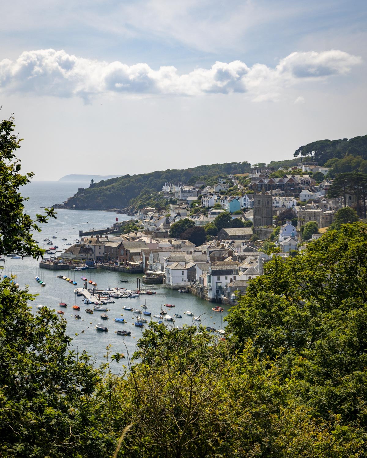
Along the way you’ll come to a covered bench seat and it’s worth popping into read the plaque which marks where King Charles I was nearly shot in 1644, sadly a fisherman did lose his life here in the Kings place.
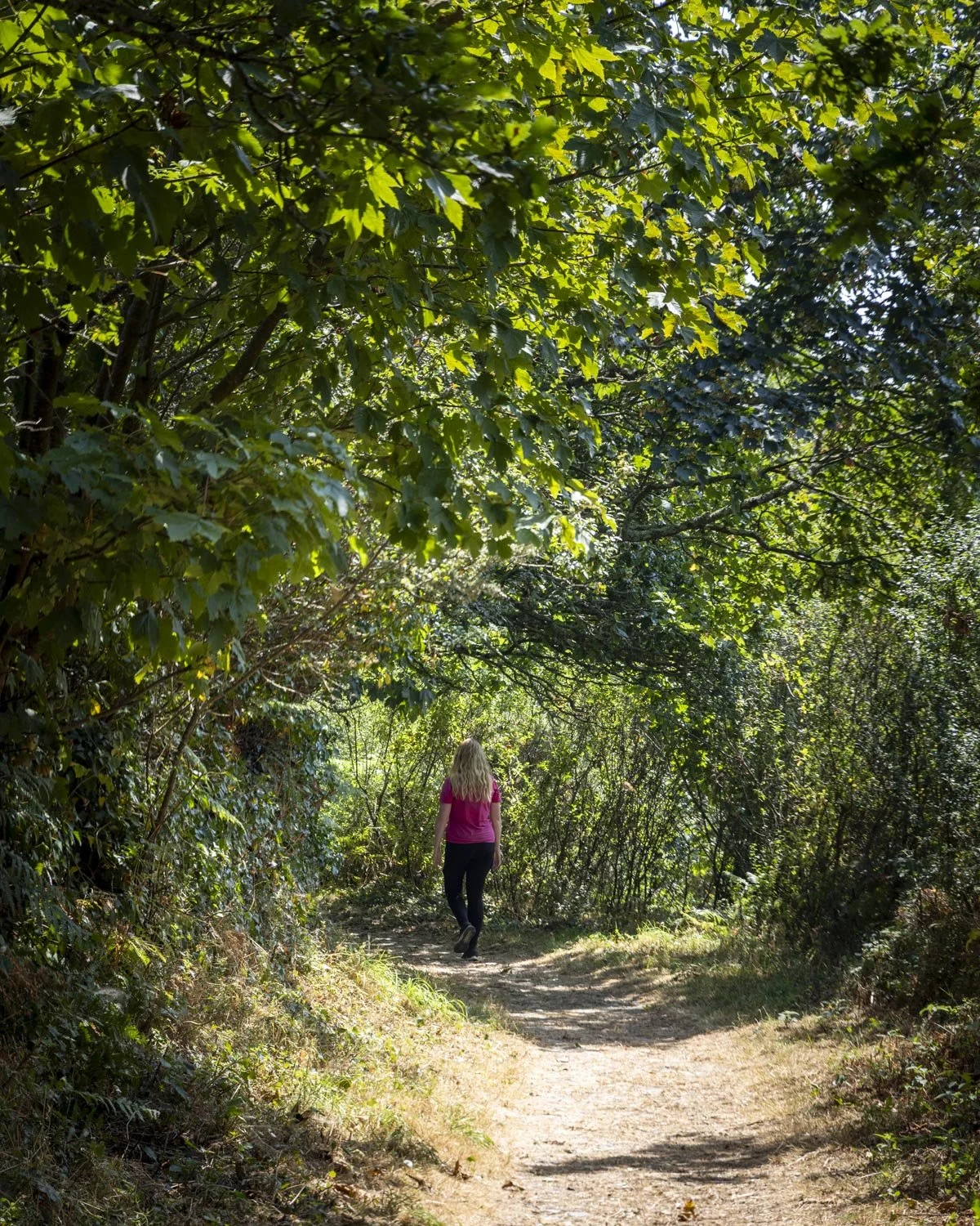
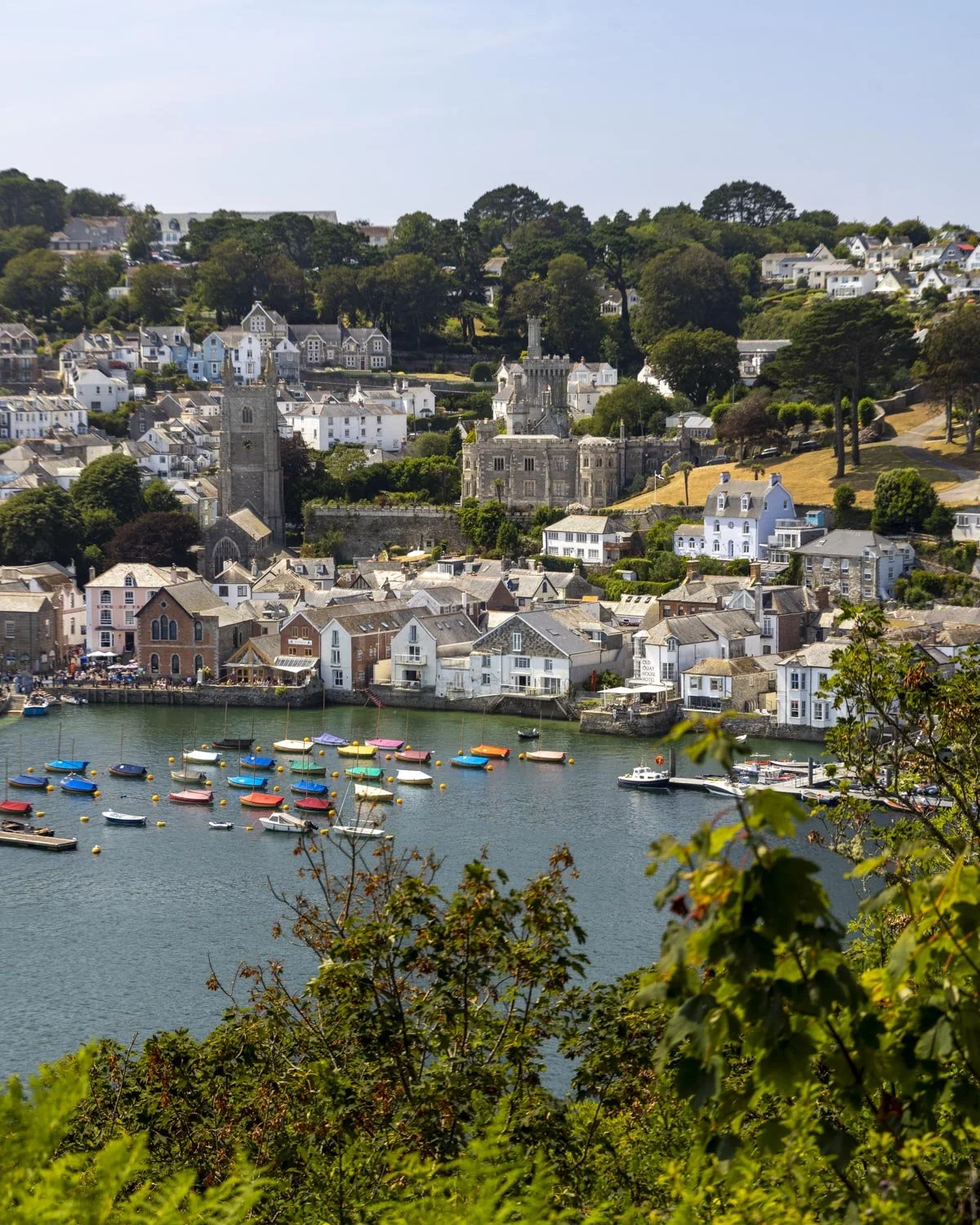
The track then rounds a corner and you’ll soon reach a section of forest (950m into the walk). There’s a bit of gradual uphill track, through some lovely oak trees before you reach the end of the ascent 300m later.
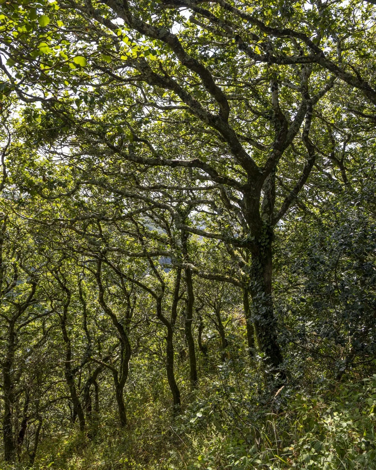
From here the path undulates but is never steep. The track through the forest was very dry on our visit but I imagine it could get muddy in wetter times.
At the 1.2 mile (1.9km) mark you’ll reach two gates and pass briefly through a field, before entering the forest again.
There’s a brief section of rocky track as you head downhill through the forest and just over 1.3 miles (2.2km) into the trail you make a hairpin turn right, it’s signposted as ‘Polruan’.
To the legendary Church of Saint Wyllow
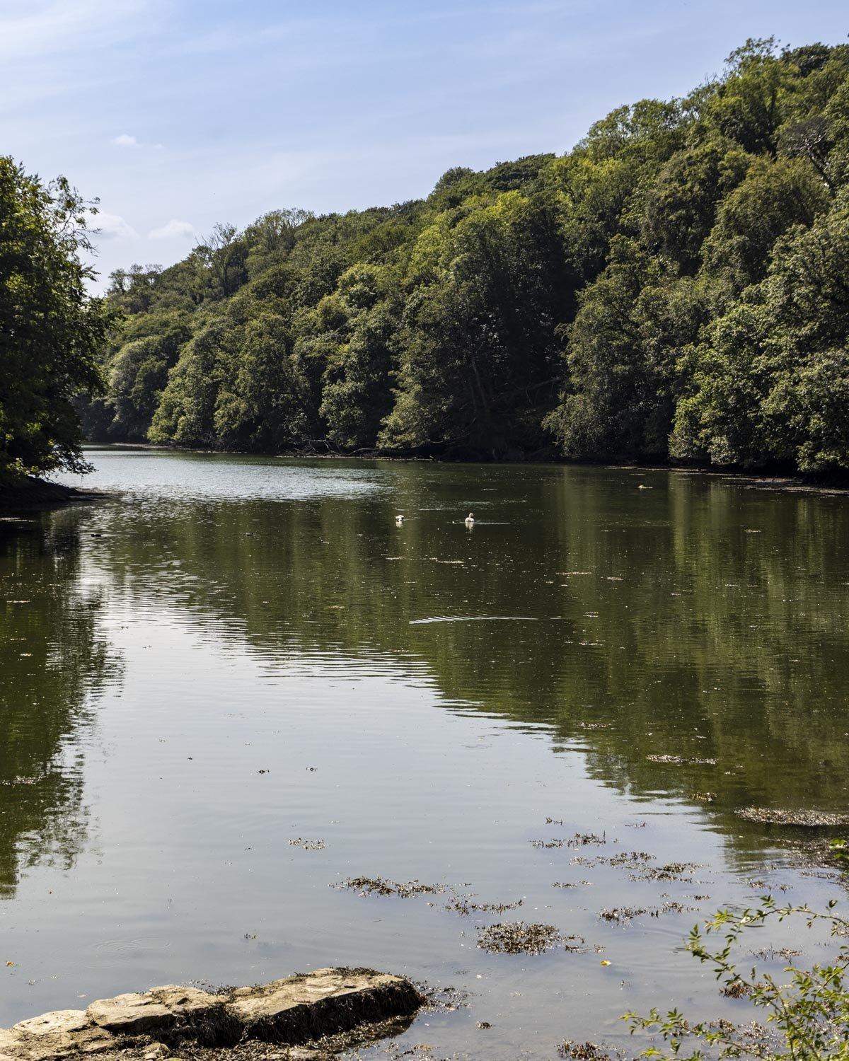
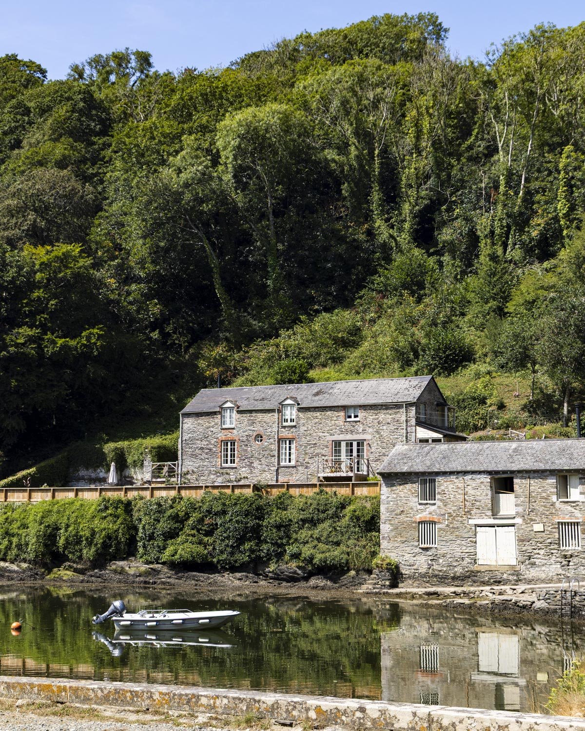
Roughly 100m beyond the Polruan signpost, you’ll cross the small bridge and pass the Pont Pill Farmhouse, which is available for rent and looks idyllic.
However, I just looked at the National Trust website and it’s definitely not cheap, but the location - if you love quiet tucked away places - is fabulous.
Follow the path which passes the houses (not the road) and you’ll head into the forest again for 100m before reaching a gravel road.
Turn left and then right almost immediately, back into the woodland.
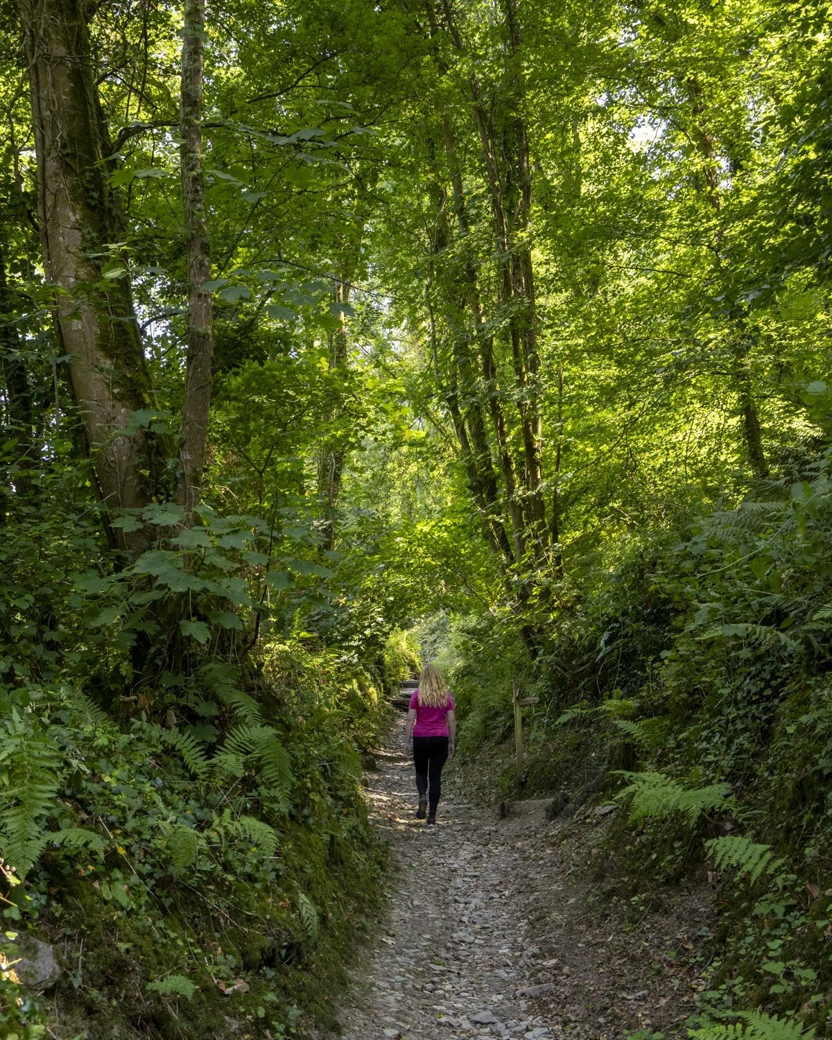
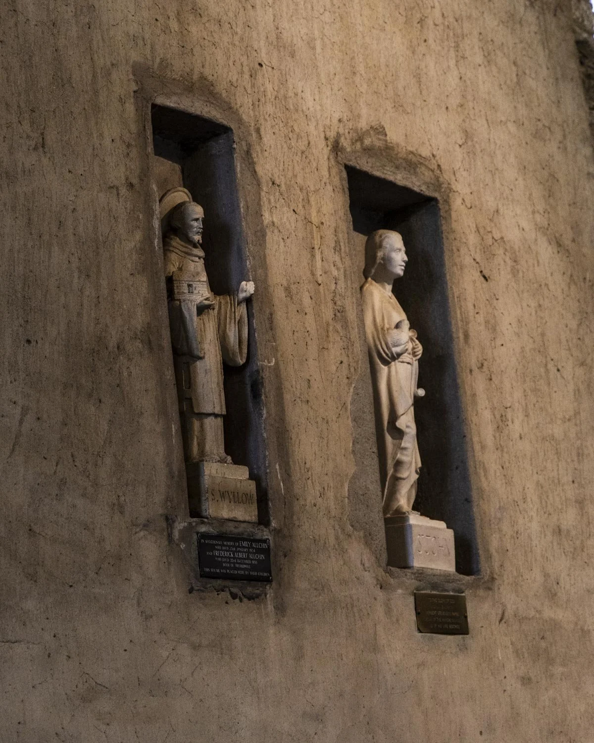
The path now heads uphill for a couple of hundred metres before you will see the Church of Saint Wyllow, home to the legend of St Wyllow. The story goes that a christian hermit was beheaded… at which point he picked up his head and carried it to the site of the current church thereby deciding this is where it should be built!

Legend aside, it’s a lovely old church with much of the building dating back to the 14th century and it’s worth stopping by before you continue on to Lantic Bay.

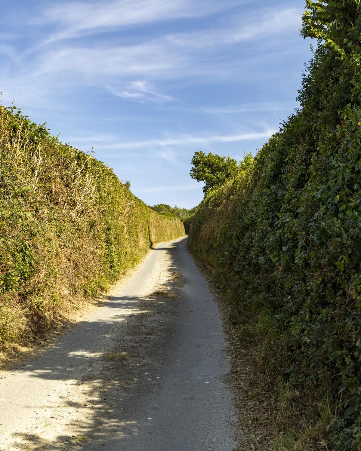
After leaving the church, you have a 650m stretch of road walking, which isn’t ideal, but at least it’s quiet. Head out of the church and turn left, following the road uphill until you reach the Lantic Bay car park.
Continue past the car park and onto the footpath on the other side of the road.
To Lantic Bay
The footpath runs alongside the road at first, but it’s very quiet and you’ll reach another gate at the 200m mark and from here you leave the road behind.

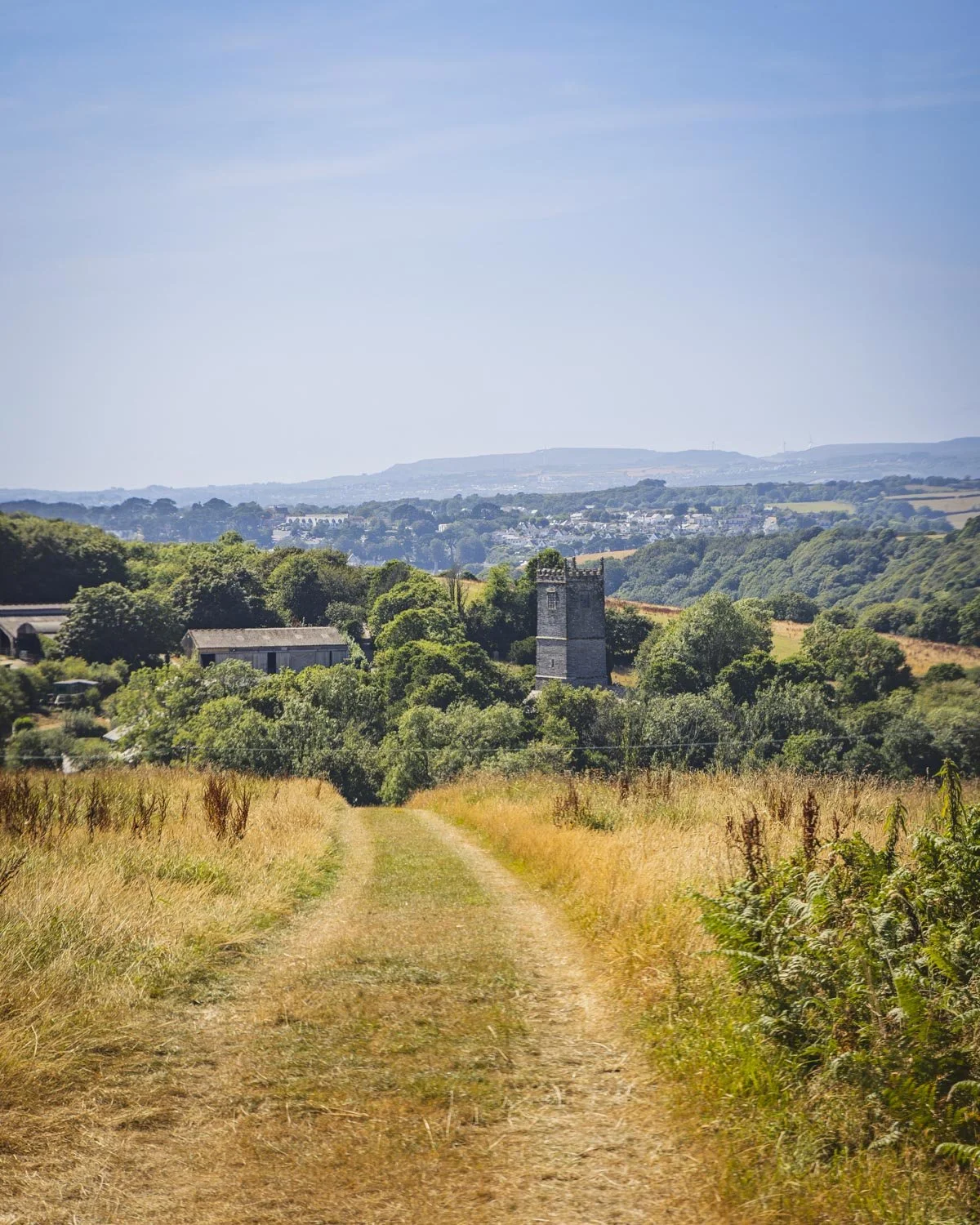
Once you’ve passed through the gate you turn left and walk along the worn trail leading gently uphill through farmland.
You can see the sparkling blue sea in the distance and you’re not far from the wow factor views to come.
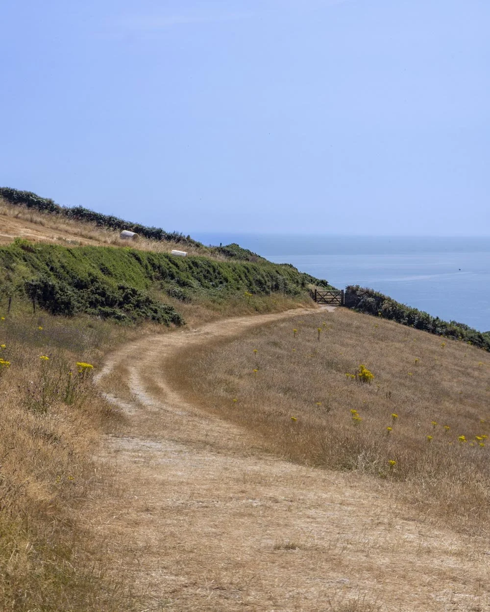
After 100m the path flattens and after another 185m you will reach another gate. Don’t go through the gate and instead take the long staircase leading downhill to the right.
It has to be one of the most spectacular staircases in Cornwall with a direct view down to the glistening bay and this is the point you will regret it if you haven’t brought a swimsuit with you!
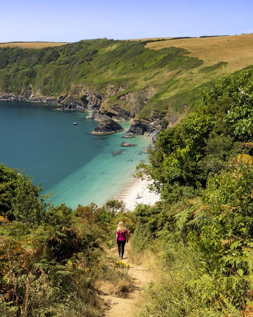
Lantic Bay is a 350m detour off the trail (each way) and that distance is almost all downhill, but it is absolutely worth it and a highlight of the walk.
To get to Lantic Bay, after 65m you’ll see a second gate on the left and pass through it, if you don’t want to go to the beach then you would stick to the staircase instead, but for now we’ll describe the route to the bay.
Once you’ve passed through the gate, the stairs give way to a narrow dirt path, which does have the odd bit of loose soil in various places, but it wasn’t too slippery on the whole.
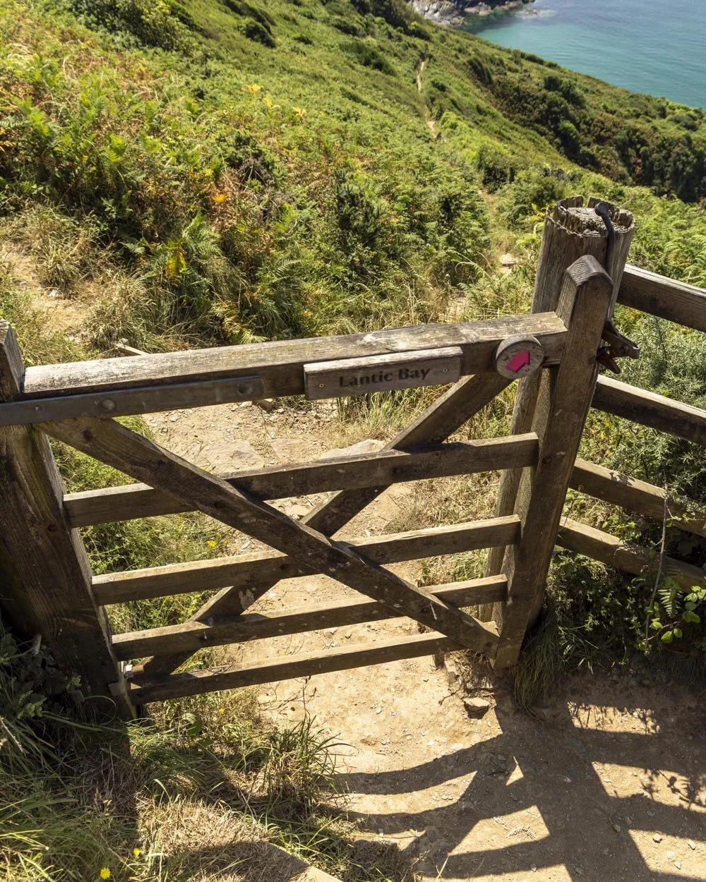
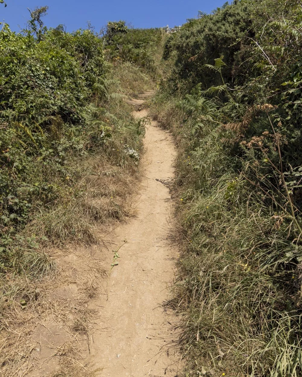
You’ll see a bench seat on the right after a couple of hundred metres which is a nice rest stop if you need it. The track keeps heading downhill for another 25m after the bench at which point you will see Lantic Bay signposted on the right.
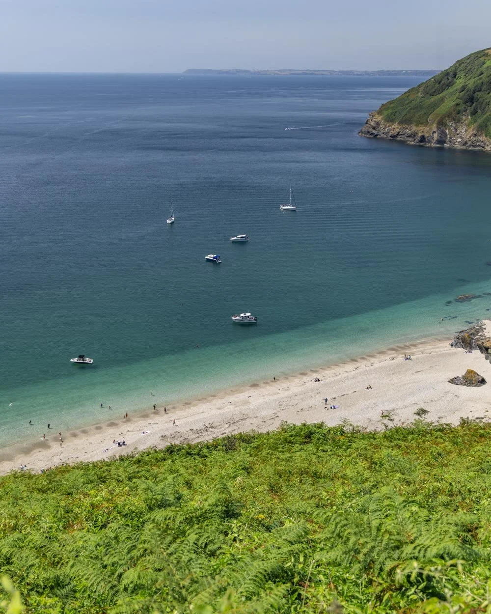
There’s a bit of flat track but most of the way to the beach is still downhill. There are a couple of steepish bits with a minor amount of rocky terrain, but nothing too challenging.
You’ll reach the beach around 2.8 miles (4.5km) into the walk.
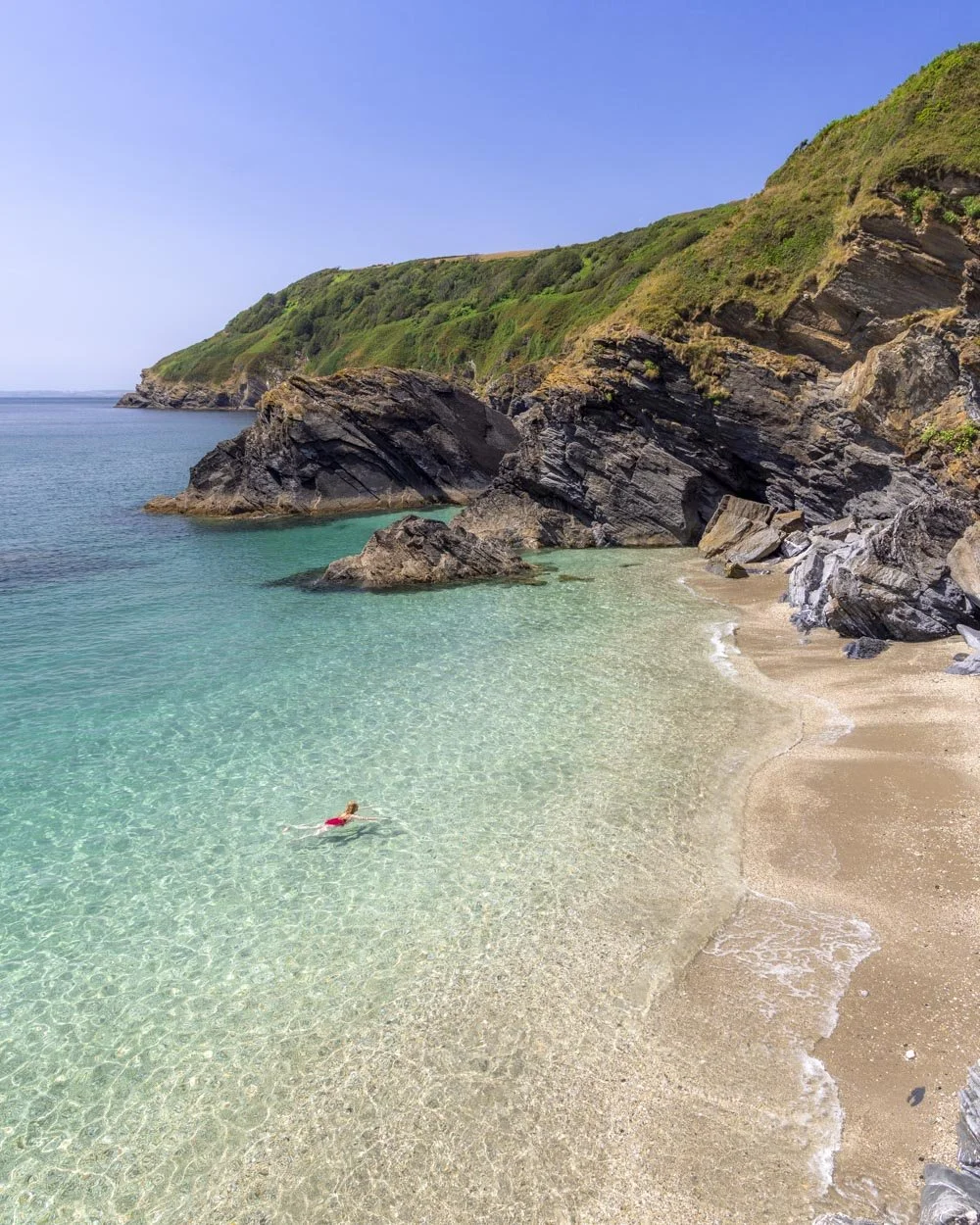
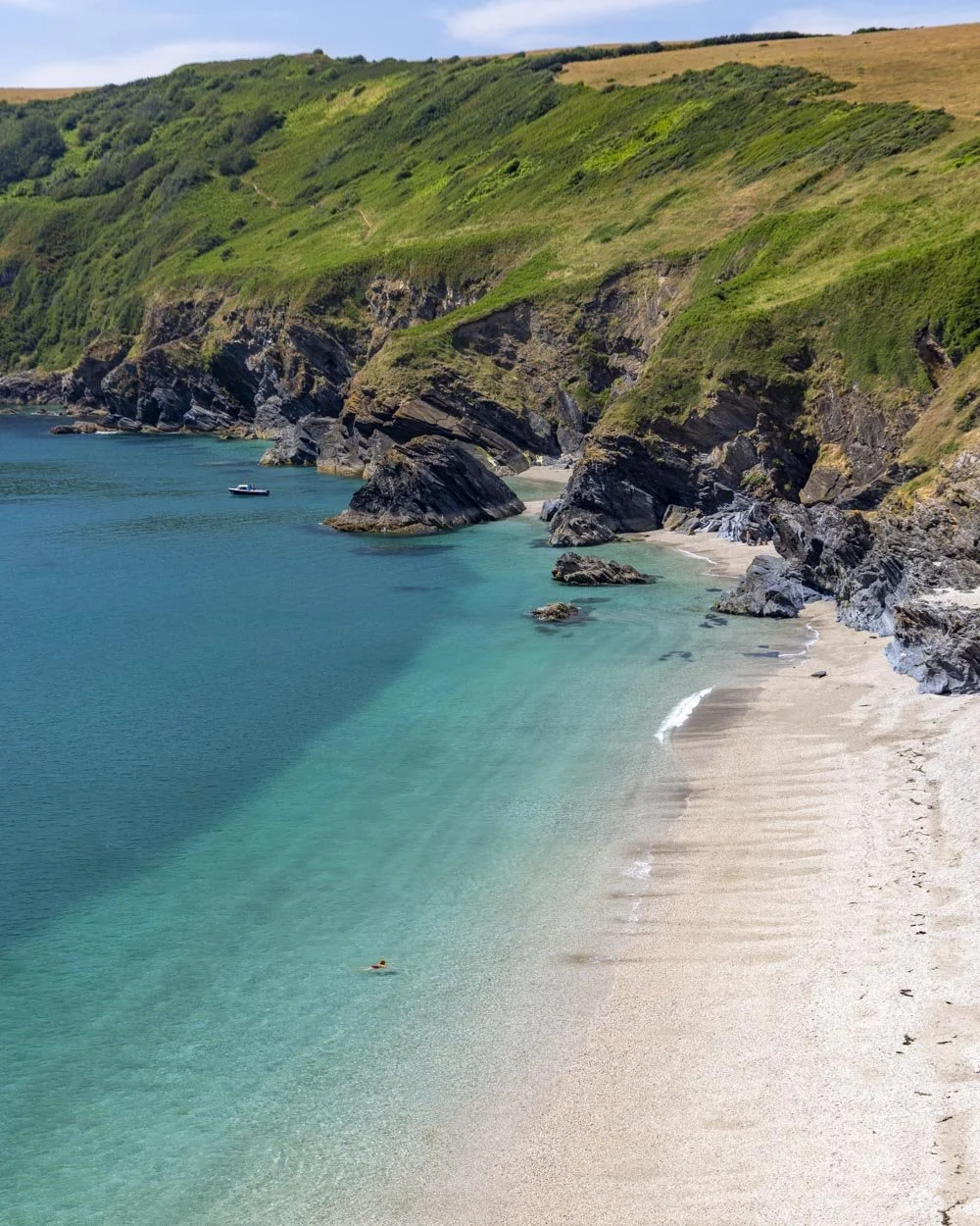
Along the coast track above Lantic Bay
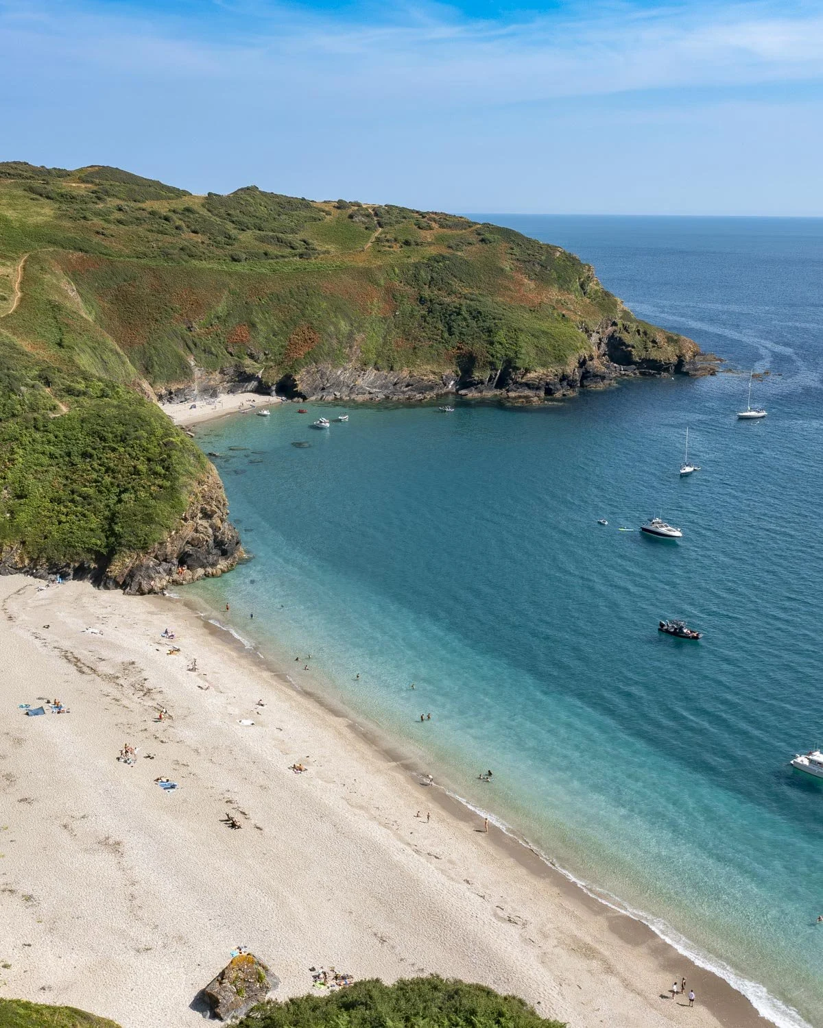
Lantic Bay is one of the most spectacular beaches in Cornwall with turquoise and indigo water bookended by steep headlands. It’s more shingle than sand but no less beautiful for it.
It’s generally nicely sheltered for swimming and you can walk, swim, or wade across to smaller nearby coves depending on the tides.
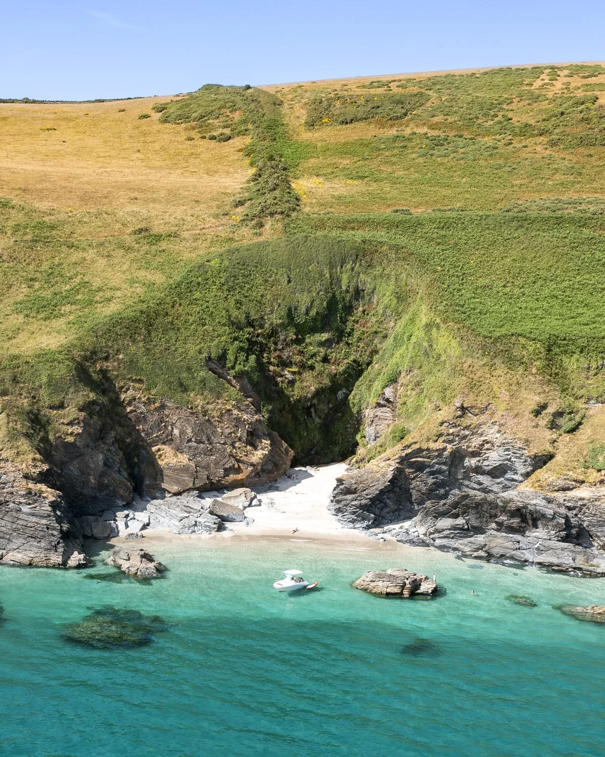
When you’re ready to leave the beach you head back uphill to the gate and then continue on the main trail. There’s a little bit of dirt track leading downhill before the path flattens.
This next stretch is my favourite part of the whole walk.
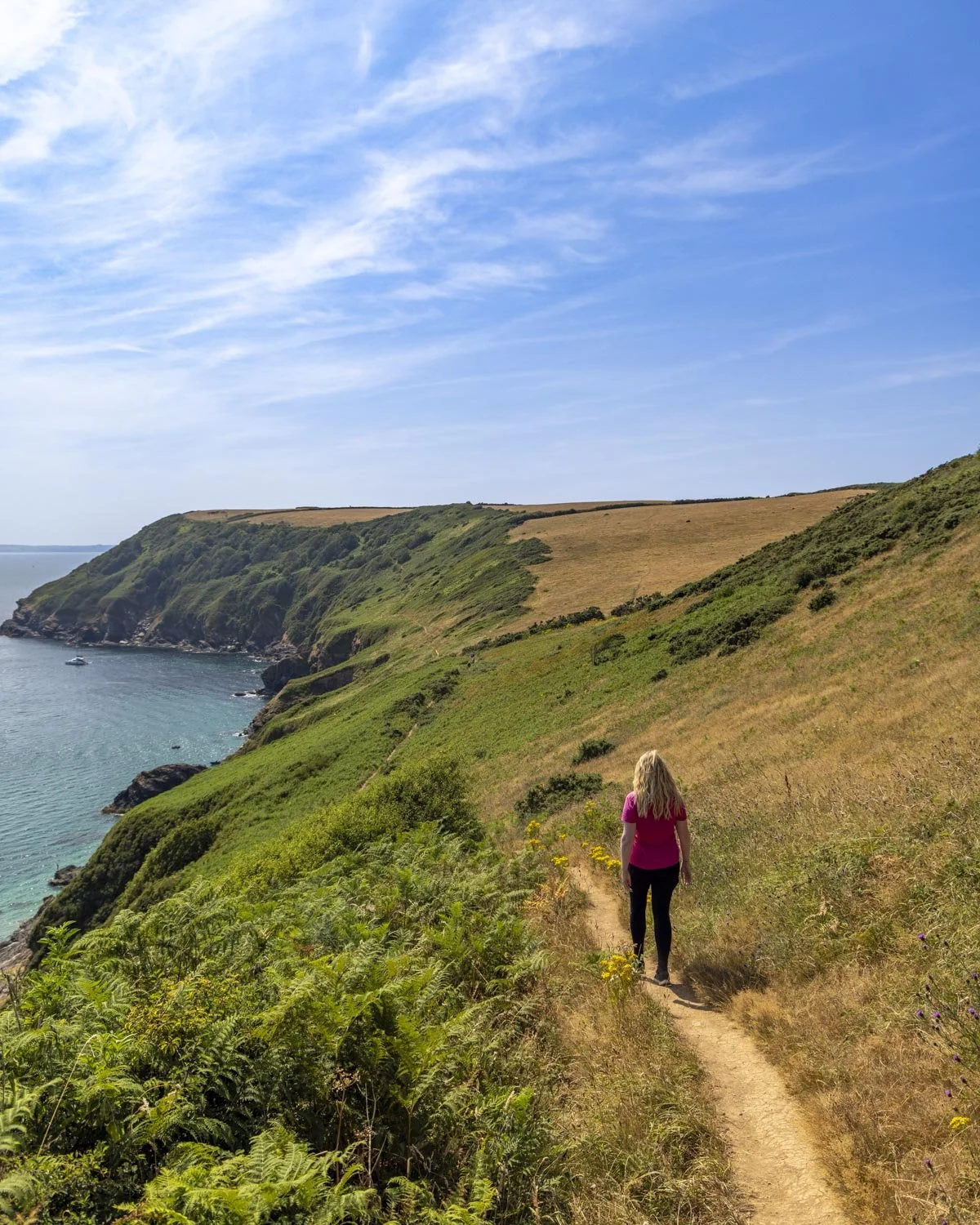
The views are simply incredible and we must have taken 100 pictures of Lantic and Little Lantic Bay from various different vantage points.
The fact that the path is flat and in great condition means you can really concentrate on the views and not your footing.
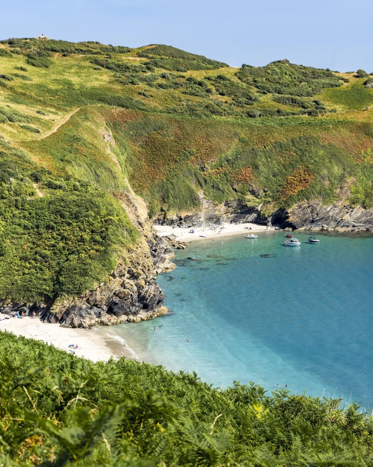
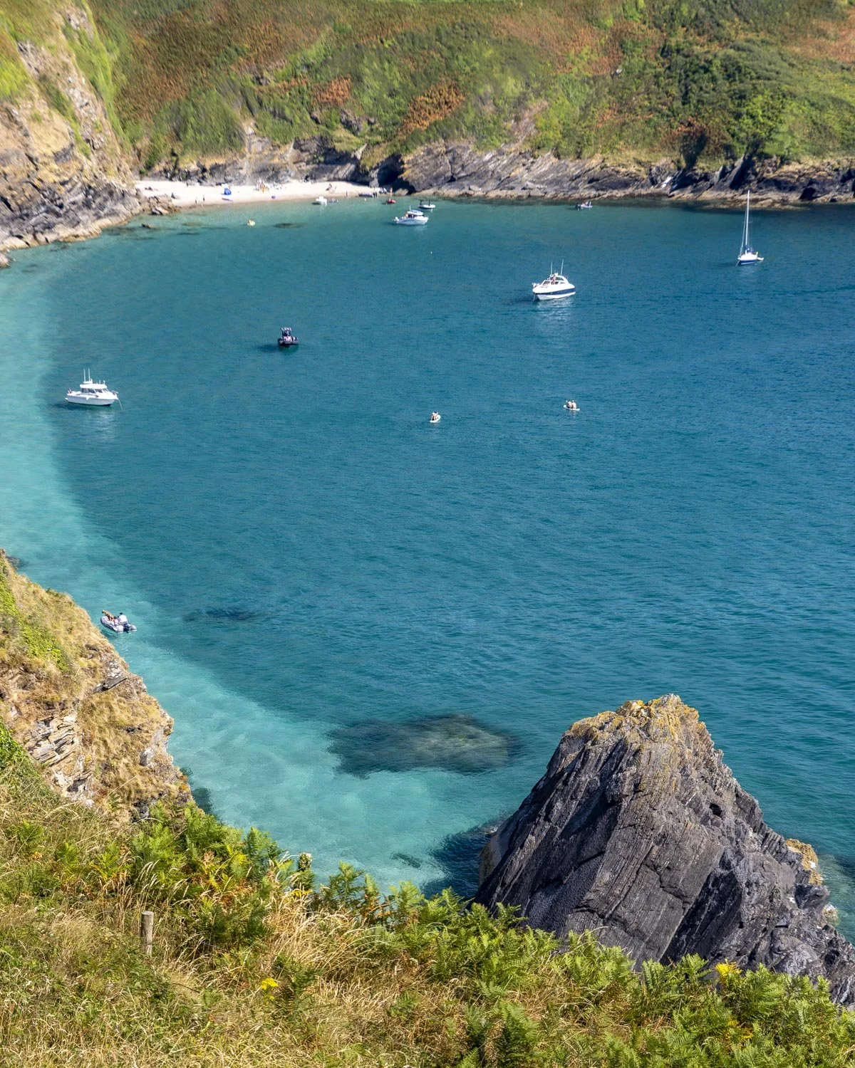
This fabulous flat section lasts for 450 glorious metres before you have a brief few hundred metres climbing to do at which point you’ll find a bench seat and another great view.
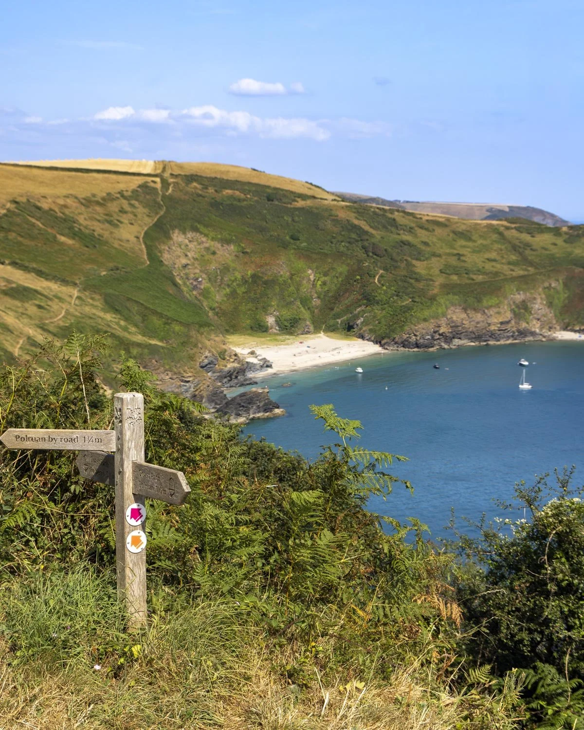
The path is now flat or a very gradual ascent and the sea views continue to deliver. There’s a little bit of downhill track just before you reach a signpost after passing through a gate.
From here follow the left track which sticks to the coast and offers yet more astonishing views.
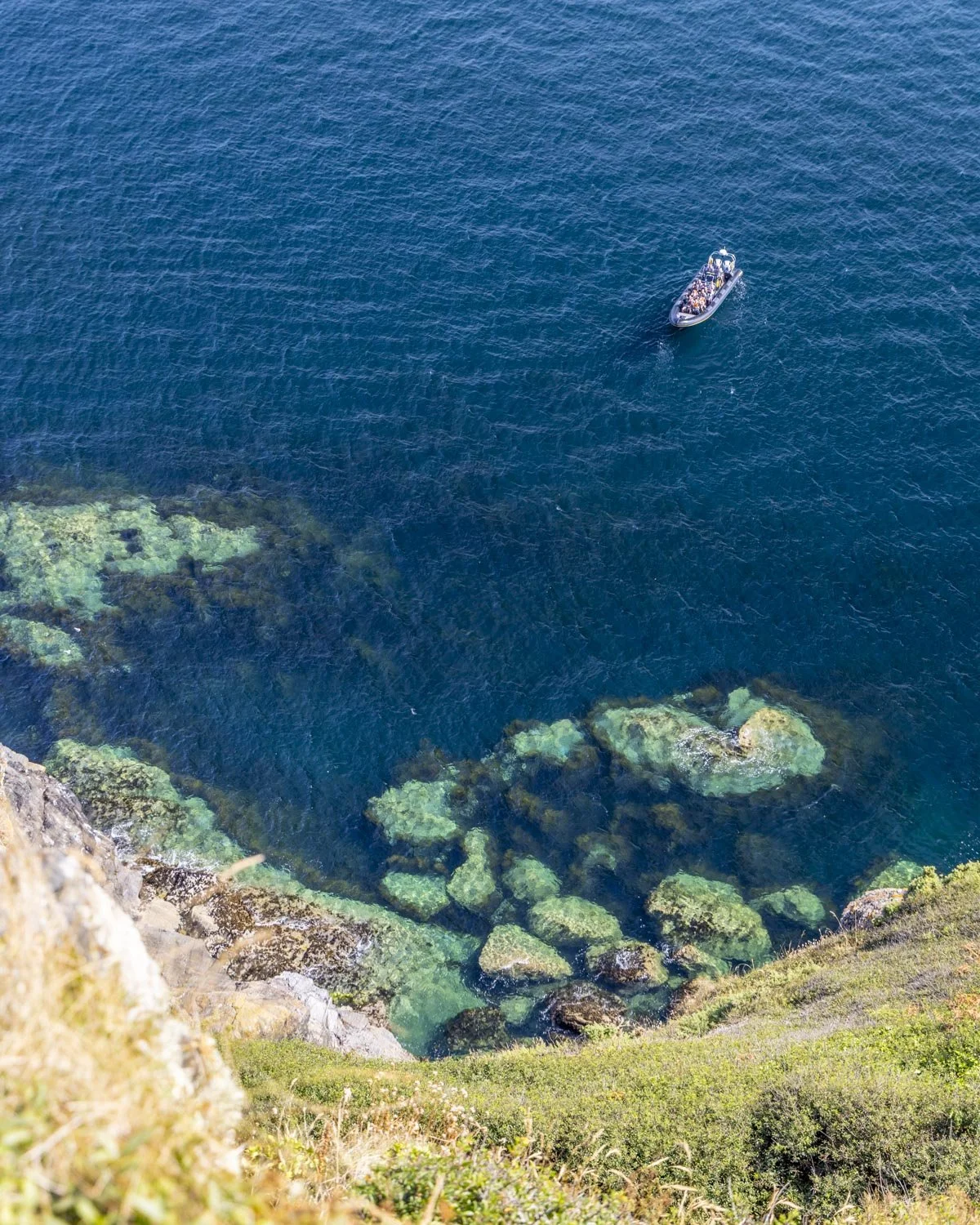
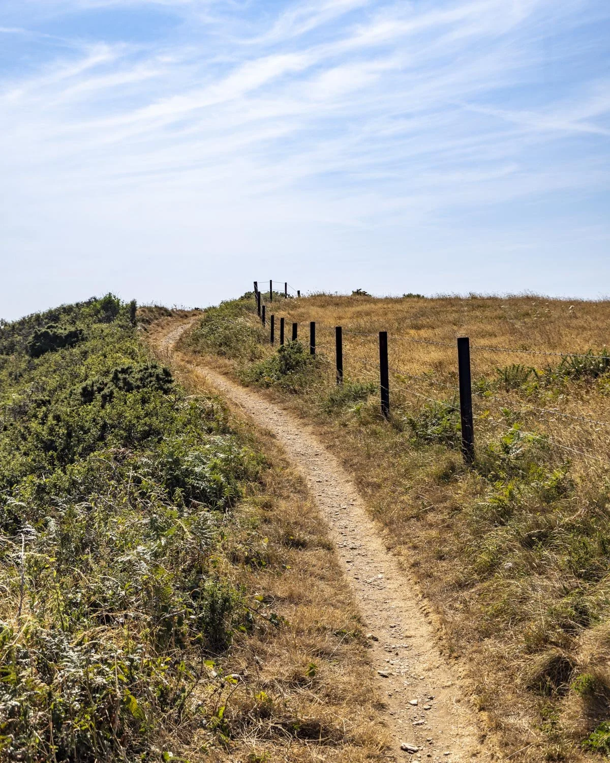
It is narrow in places though and very close to the cliff edge so you might want to take the upper path if the wind is very high.
One minor section of the path is a bit eroded, but it didn’t feel too precarious given we were walking on a very calm day.
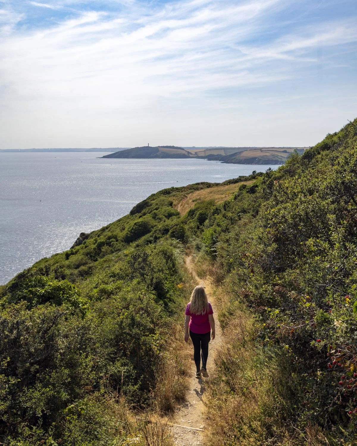
You’ll follow this coastal track for a little under 0.6 miles (1km) at which point you come to Furze Park and you’re now in Polruan. From here you will be heading for the ferry beside Russell Inn which is about 0.75 miles (1.2km) away.
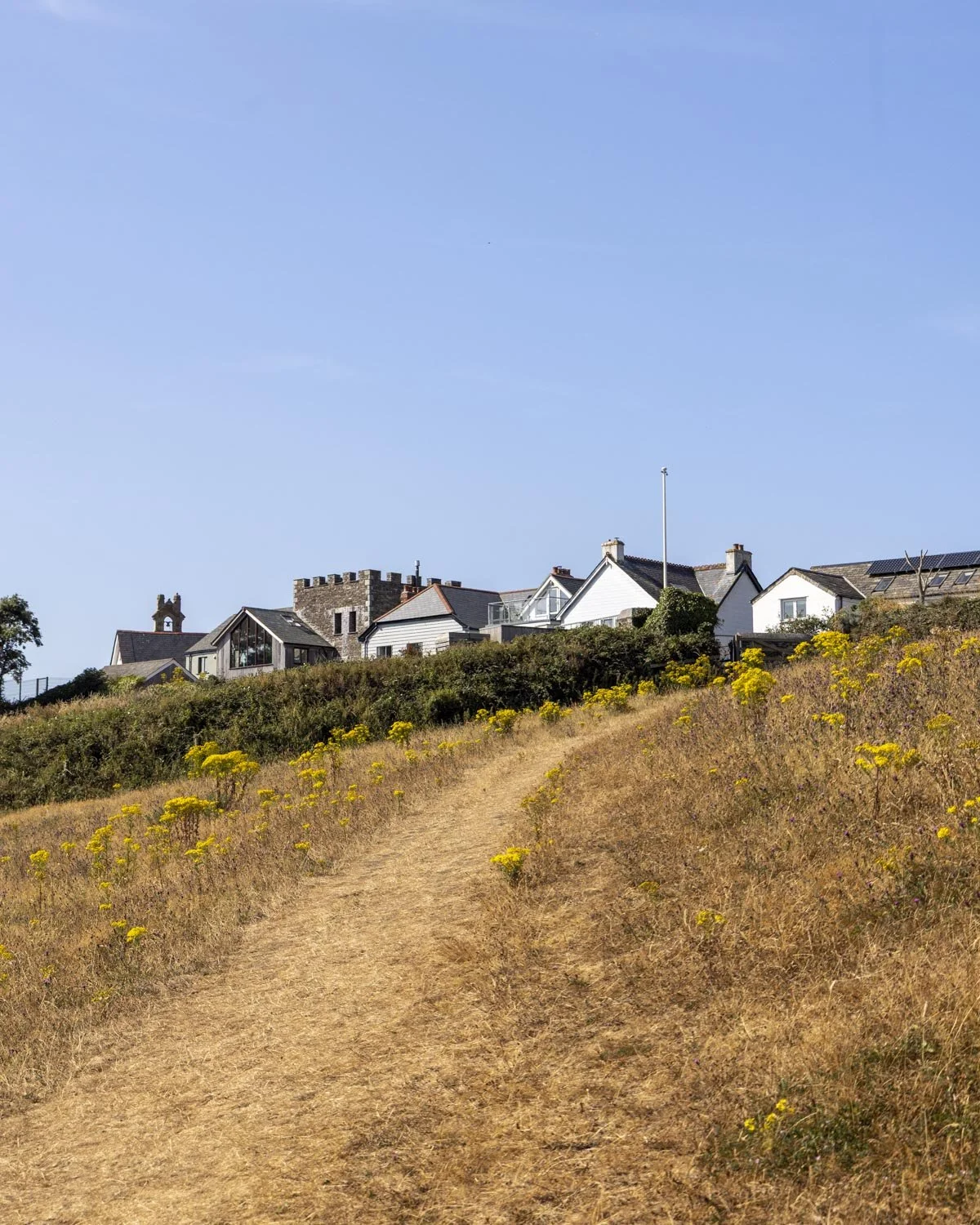
Continue along the path from the park until you come to a gate, head through it and then bear left onto the road. You’ll turn right at the fork 150m later, just before the St Saviour Chapel car park.
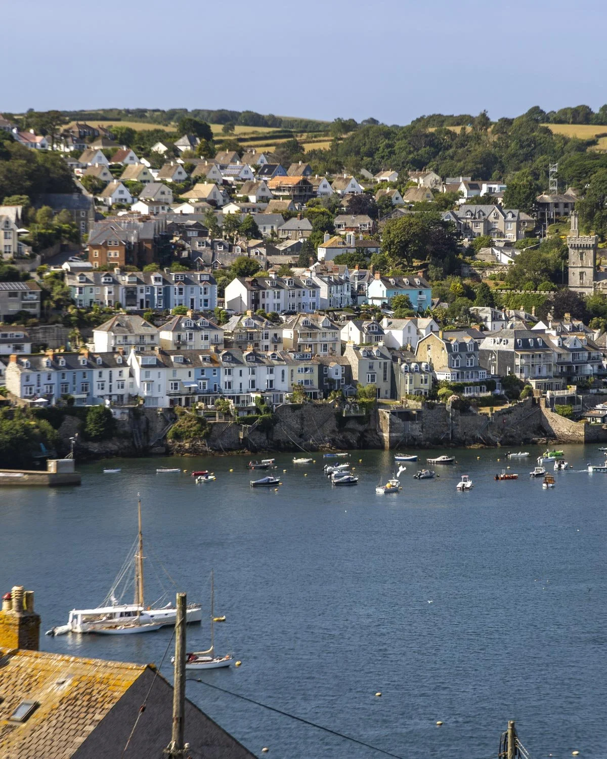
There’s a fabulous view of Polruan harbour from here which is worth seeing before you bear left for 50m up to the ruin of St Saviour’s chapel.
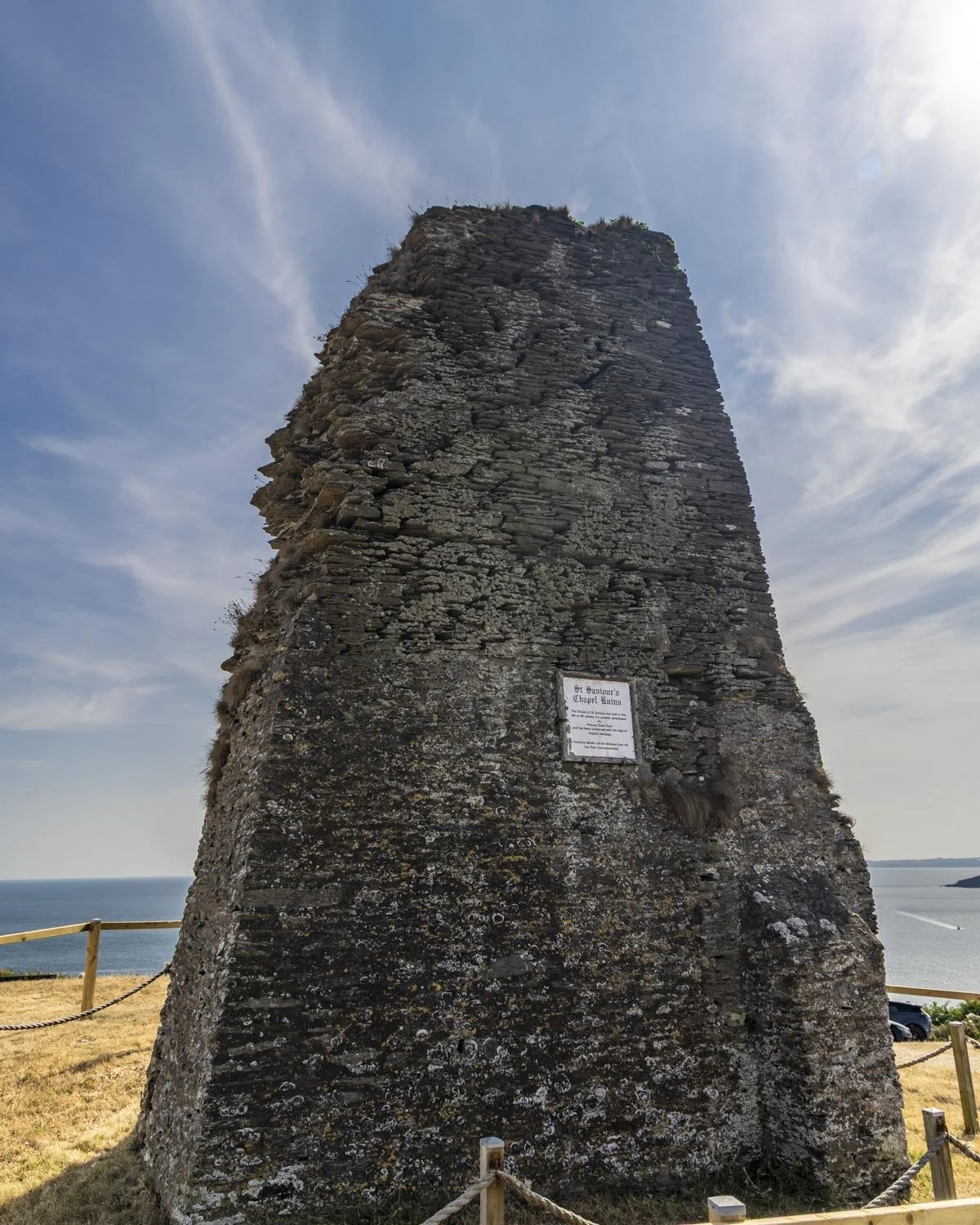
There’s not much more than a bit of wall left but it’s amazing to think that it’s still standing at all given it dates back to the 8th century!
From here you head back onto the coastal path and you’ll come to St Saviour’s Point which is a good spot to look out for marine life, and just a few minutes detour from the main track.
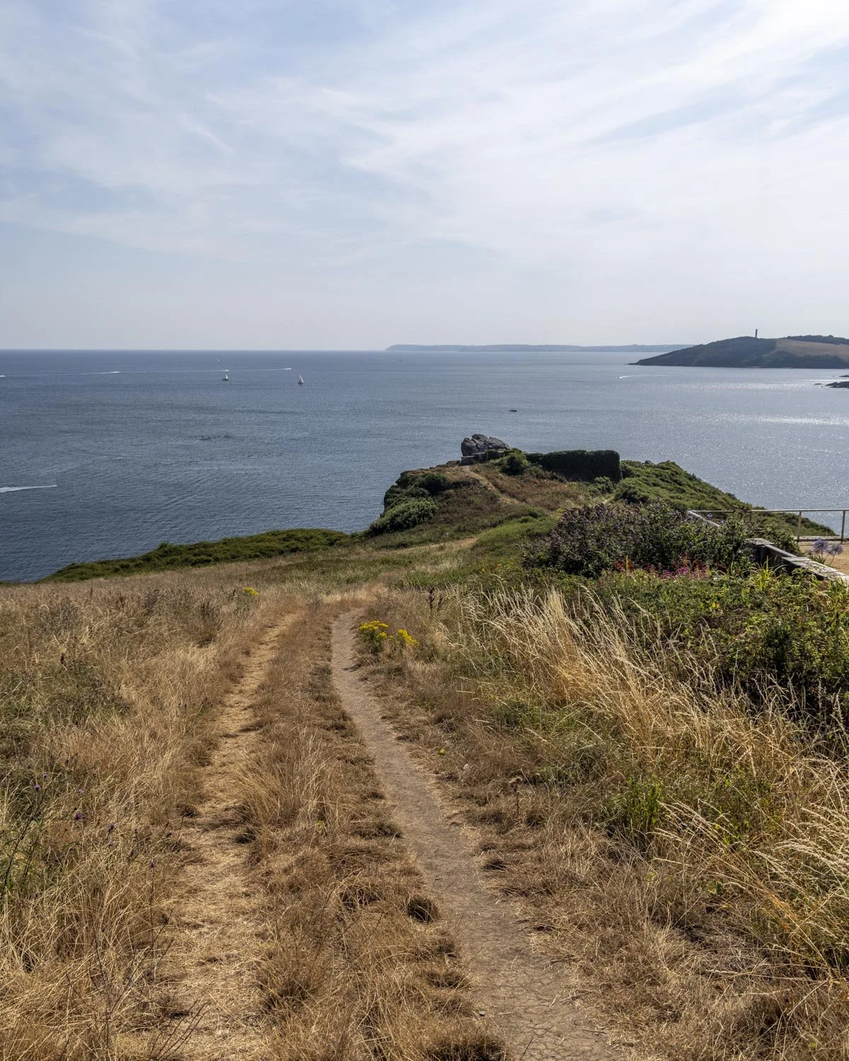
A couple of hundred metres later you will reach the road and 150m from here, a T-junction on West Street.
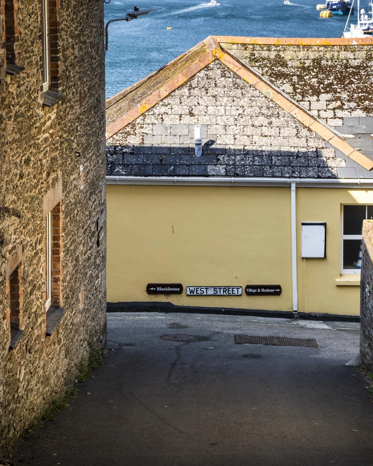
Head right here and then left 150m later, just after the Russell Inn. This is where you’ll reach the point you can board the next ferry which takes you back to Fowey.
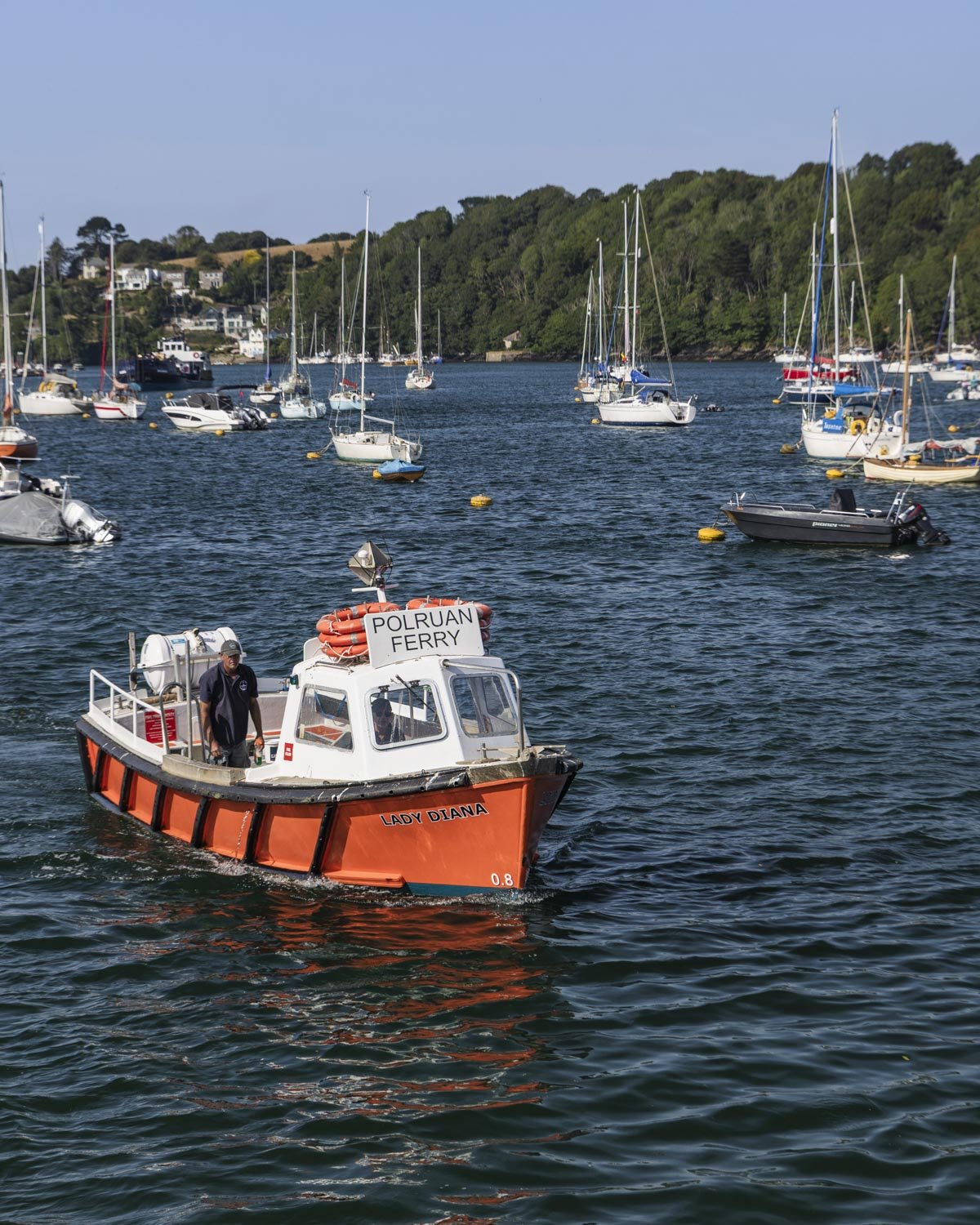
It’s a much smaller and more charming boat (which doesn’t allow vehicles) and currently costs £3.50 for an adult ticket.
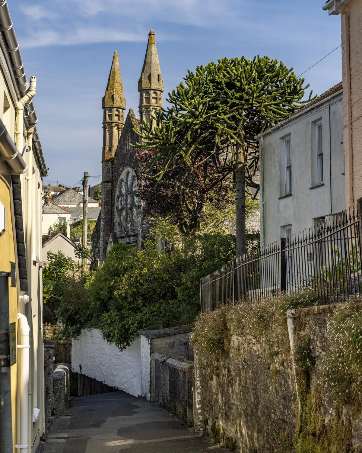
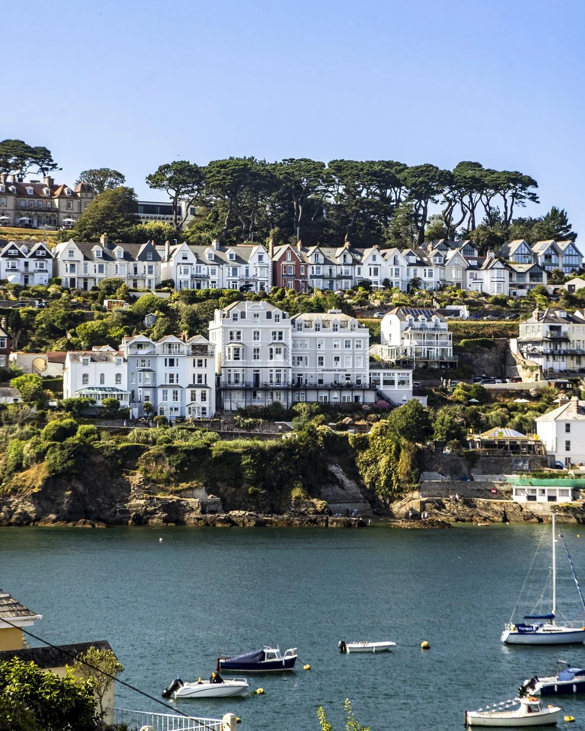
The ferry ride is very pretty and runs every 10-15 minutes so you won’t need to wait long.
In summer, it was operating from 7am on weekdays up until 11pm, starting slightly later in the day on the weekend, you can see the current schedule here. You buy your ticket on the ferry and they accept card payments.
Completing the circuit
Once you’ve arrived back in Fowey, it’s a very short uphill walk of about 270m back to the town centre, then it’s a case getting back to wherever you were able to leave your car.
You’ll pass plenty of great restaurants and pubs if you want to treat yourself after the walk!

Getting to, and where to park for the Fowey Circular Walk
The easiest car park to use for this walk is the Old Station Yard car park, postcode PL23 1JS. It’s not the closest car park to the ferry (that’s the one we mention below) but it’s bigger and therefore easier to get a space.
The cost is £1 per hour, with 6- 24 hours being £6.30. You can see the latest prices on JustPark using the location ID: 518865.
Alternatively, the closest car park is the Caffa Mill Car Park, which is right at the Bodinnick Ferry, but it is much smaller and fills up early. They charge £1.30 for 1 hour, £2.50 for 2 hours, £5.50 for 4 hours, or £7 for the day.
Alternatively, you could start the walk in Bodinnick and use the Bodinnick Car Park, postcode PL23 1LY. You would then end (rather than start) your walk with the Bodinnick ferry.
Fowey is located around a 20 minute drive from Saint Austell, 25 minutes from Bodmin and 45 minutes from Newquay by car.
This post may contain affiliate links, meaning at no additional cost to you, that we will earn a small commission if you click through and decide to make a purchase. This helps towards the costs of running our website. Thanks for your support.

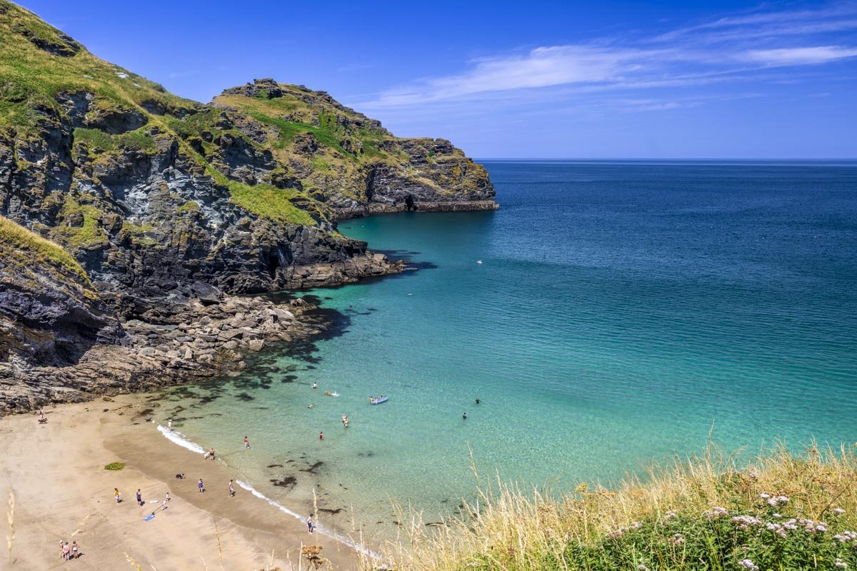
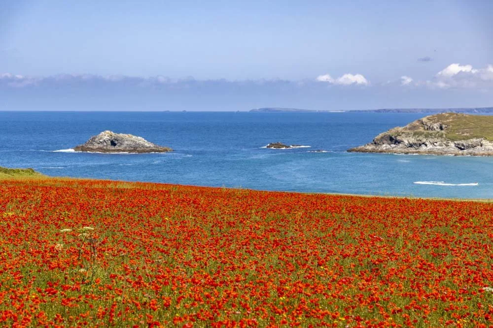


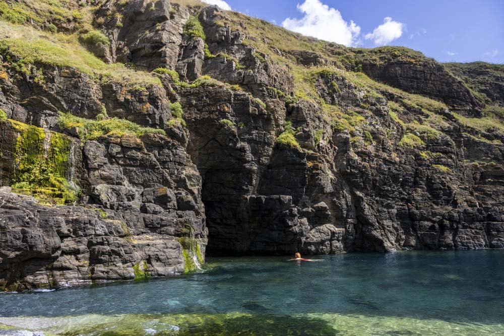
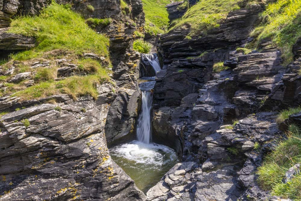


All the best wild swimming spots in Cornwall, from shimmering turquoise rockpools to emerald lagoons, quarry pools and stunning waterfalls. If you love longer swims there are many calm stretches of water where you can swim from bay to bay stopping at all the little gorgeous coves along the way.