
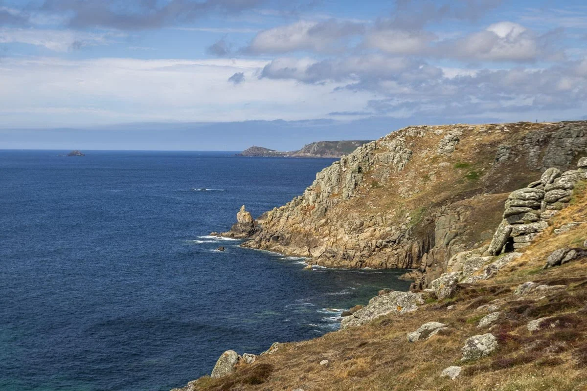
This fabulous circular walk offers some of the best coastal views in Cornwall as well as the chance to visit an incredible sea cave with its swimmable tidal pool and of course the wild popular Lands End. It also saves you that rather hefty Lands End parking fee…!
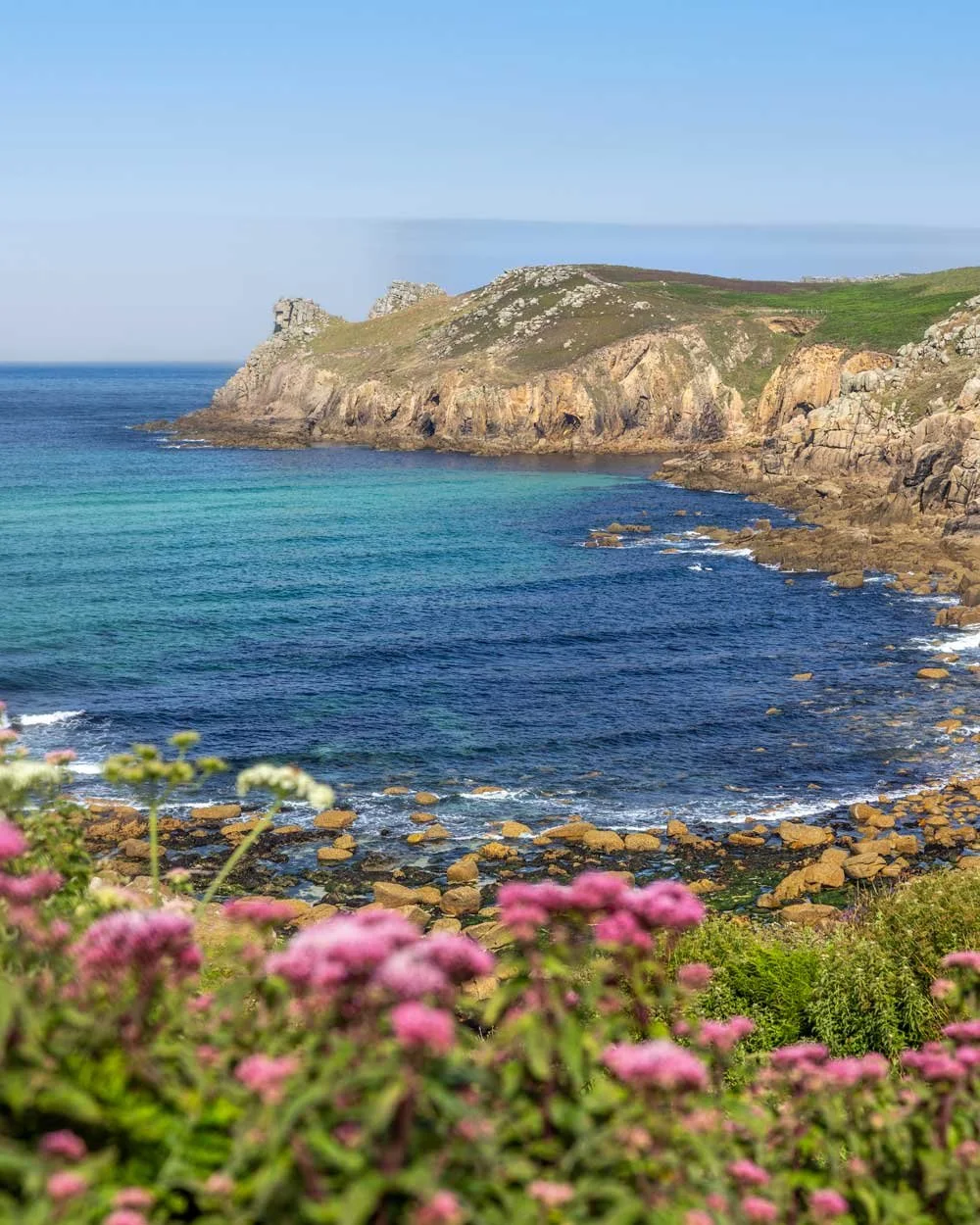
The first half of the walk hugs the coastline passing an old ship wreck, sea arches and sparkling blue coves where seal sightings are almost guaranteed.
The second half takes you back along quiet farmland and country lanes, though you might prefer walking back along the coast to really make the most of those views!
Here’s everything you need to know about the trail.
The Lands End Circular Walk
The stats
Distance: 5.3 miles (8.5km) circuit
Elevation gain: 340m
Difficulty: Moderate
Trailhead: Sennen Cove Harbour Car Park
Summary: Though this walk has a reasonable amount of elevation gain. None of the hills are sustained, the climbs are quite spread out across the whole walk and most are relatively gentle.
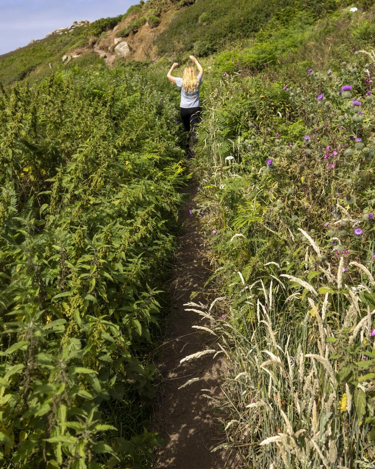
The paths are generally in good shape, though sections of the trail between Lands End and Nanjizal Bay are narrow and close to a big drop - however, the track is not eroded and doesn’t feel precarious. One minor section along this stretch of track is always a bit overgrown with nettles, so trousers are a better choice than shorts!
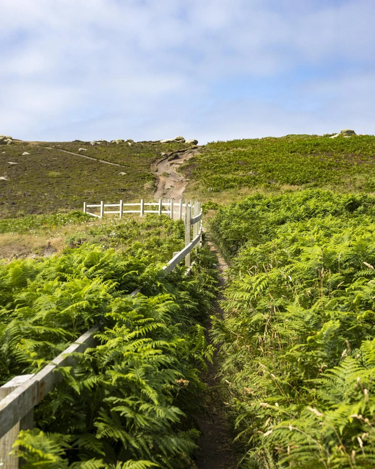
There is a little bit of rocky terrain at times, but most of the trail is either stairs, a good dirt path, or farm tracks. The farm tracks were bone dry in summer, but are likely muddy in winter or after prolonged rain.
Starting the trail: along the cliff tops to the ship wreck
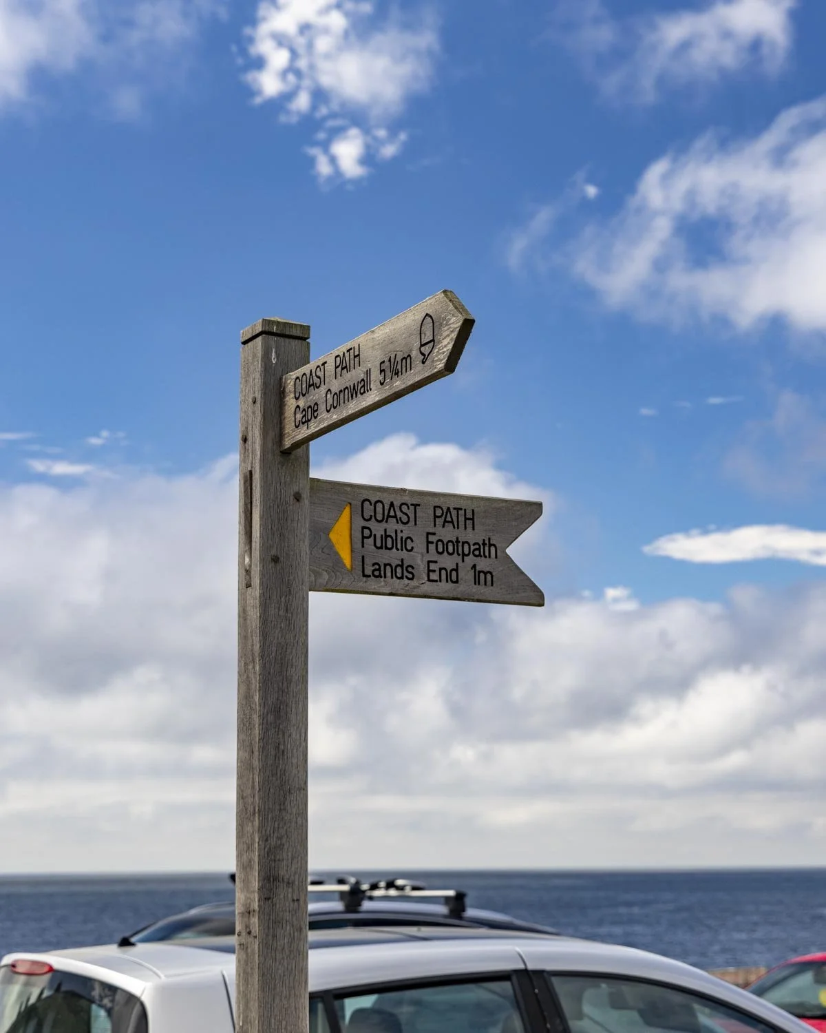
From the Sennen Cove Harbour car park on the west side of Sennen Cove, you head out of the car park (the side where you’ll find the toilet block) and turn left, following the signpost towards Lands End.
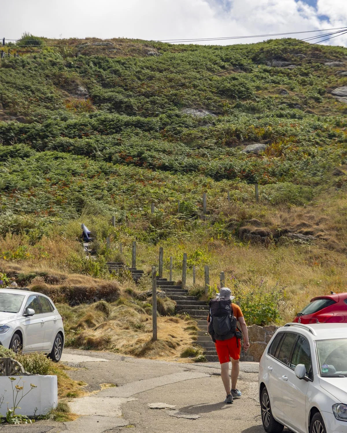
After 40m you will come to the first hill of the walk, which is probably the steepest, taking you first up some stairs and then onto a dirt track (signposted as Mayon Cliff).
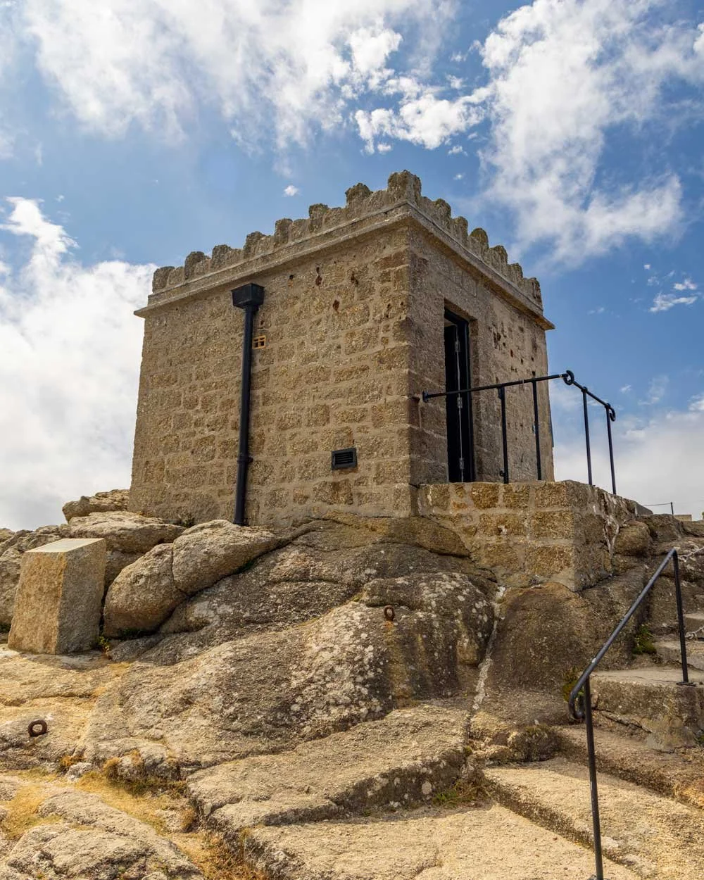
After just over a 100m climb you will reach the Sennen Coastguard Lookout Station. You can pop inside for a quick look and the views are, needless to say, very pretty!
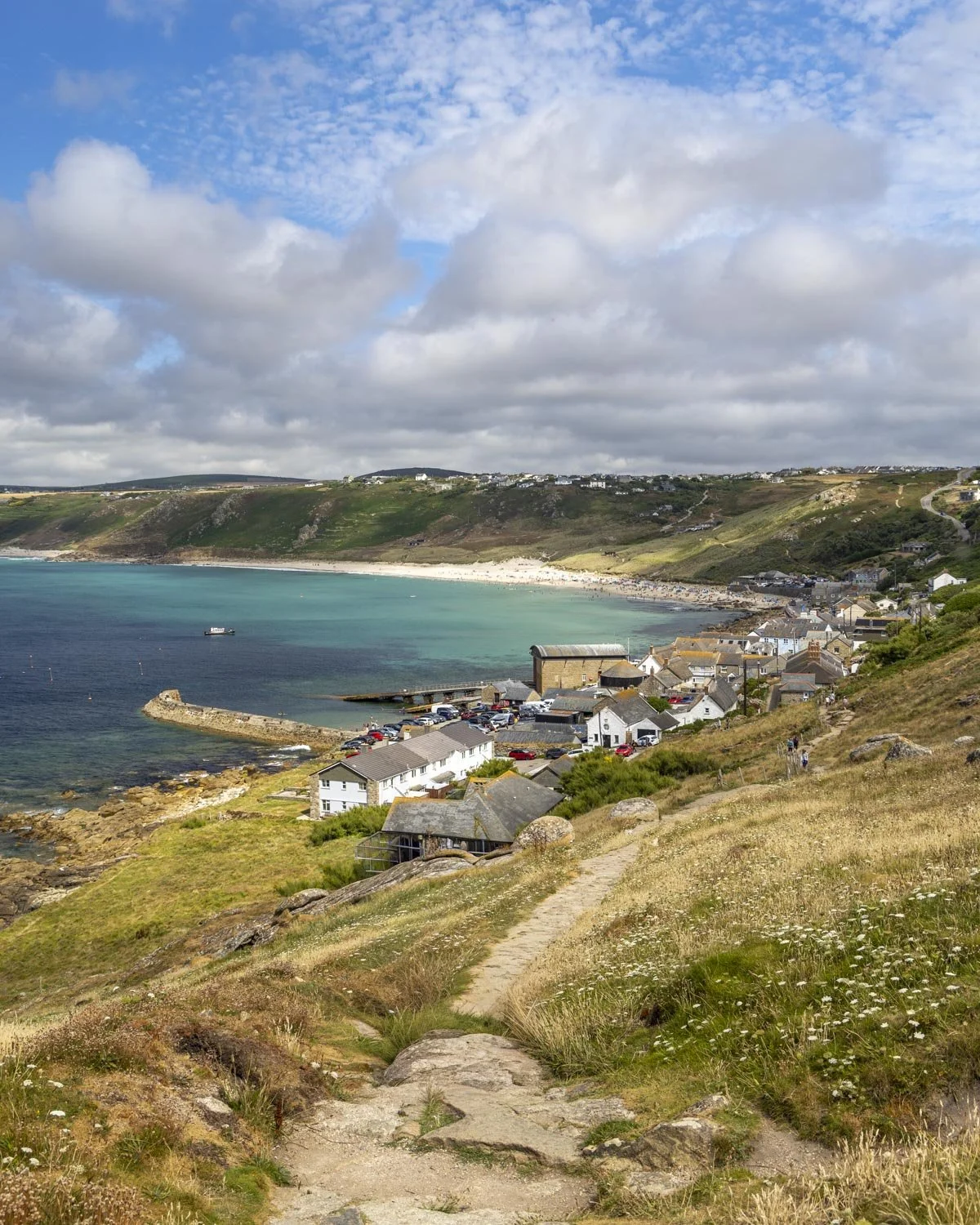
From here the path is either flat or a much more gentle uphill, with increasingly beautiful sea views.
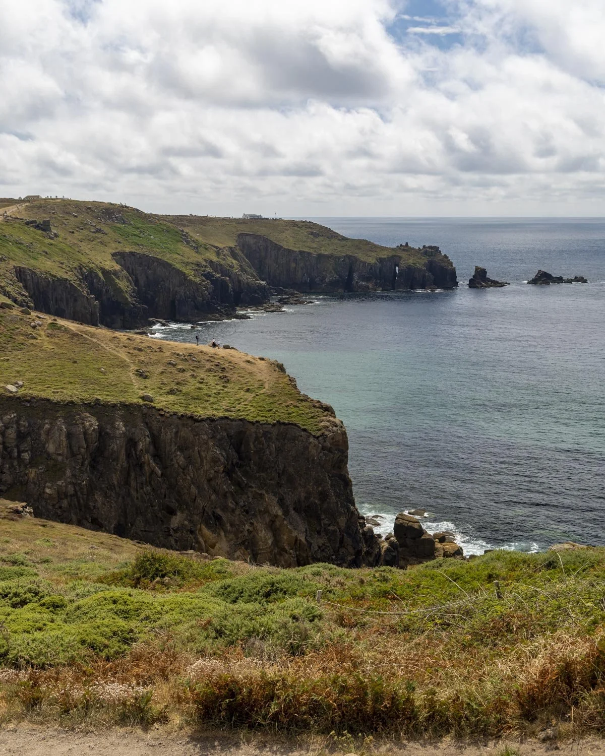
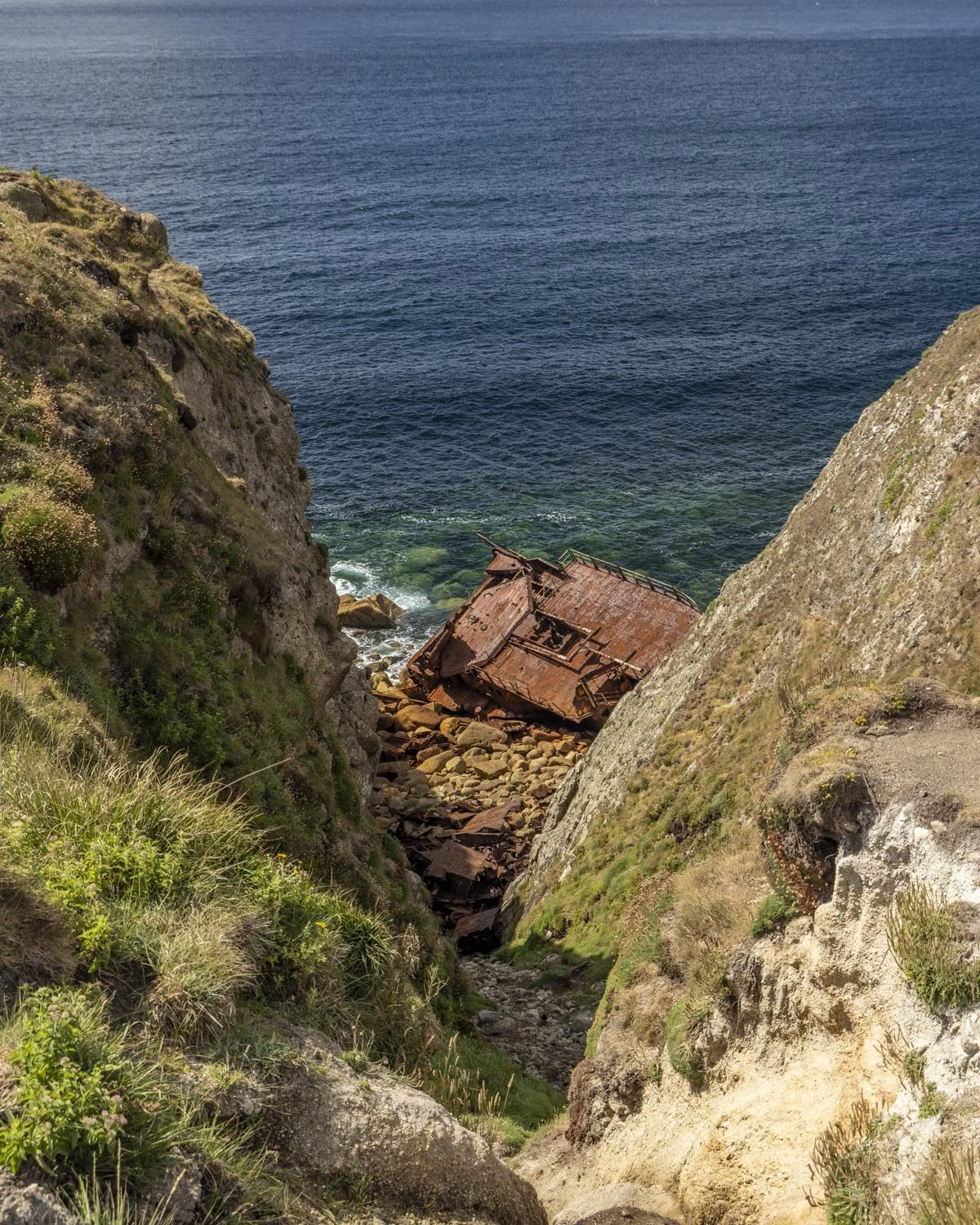
At the 740m mark you will come to the site of an old shipwreck. The RMS Mulheim was a German cargo ship that sadly ran into trouble in 2003 when the first officer fell unconscious.
It’s best viewed from above because the route down is eroded and unstable, the signpost asks people not to visit, though we did see people down there so I guess it’s one of those ‘at your own risk’ type situations.
To Lands End
From the ship wreck you are just over a 0.6 mile (1km) walk from Lands End and you will already be able to see it in the distance - it might not be long until you hear it too if the music is as loud as it was when we visited!
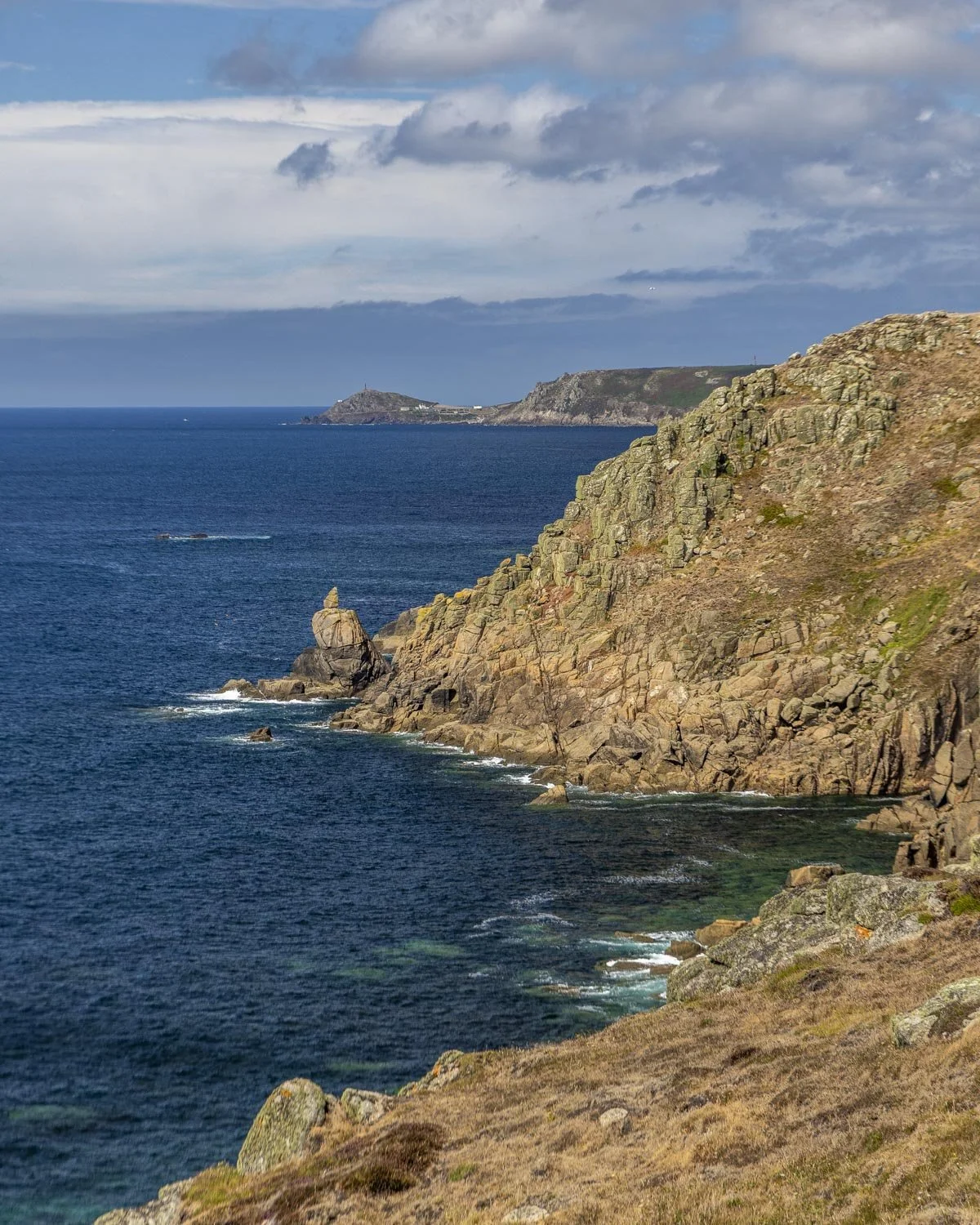
The route is a mix of flat and a gentle incline on a good track, though some sections are a touch rocky. The views are gorgeous, though you may find this section of the track a little busy if walking in summer. It quietens down to almost nobody at all once you get past Lands End.
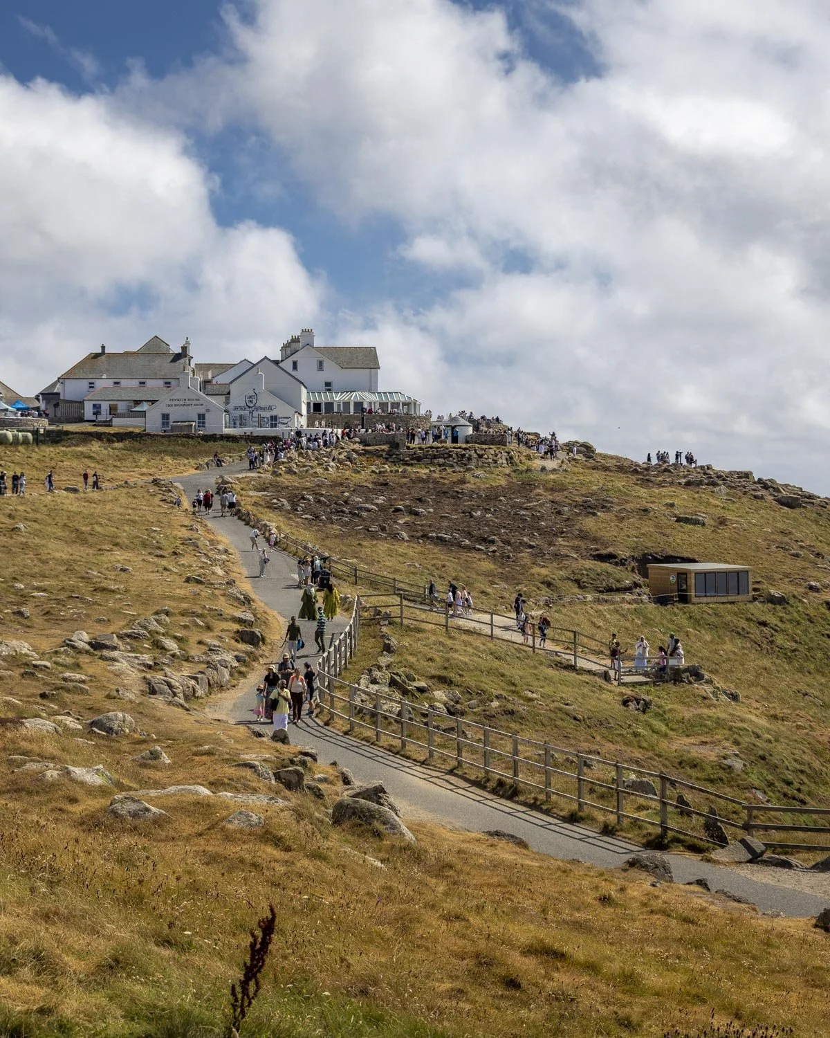
Around 250m before you reach the official Lands End viewpoint, you will pass the First and Last House, which is a souvenir shop with its own lookout point.
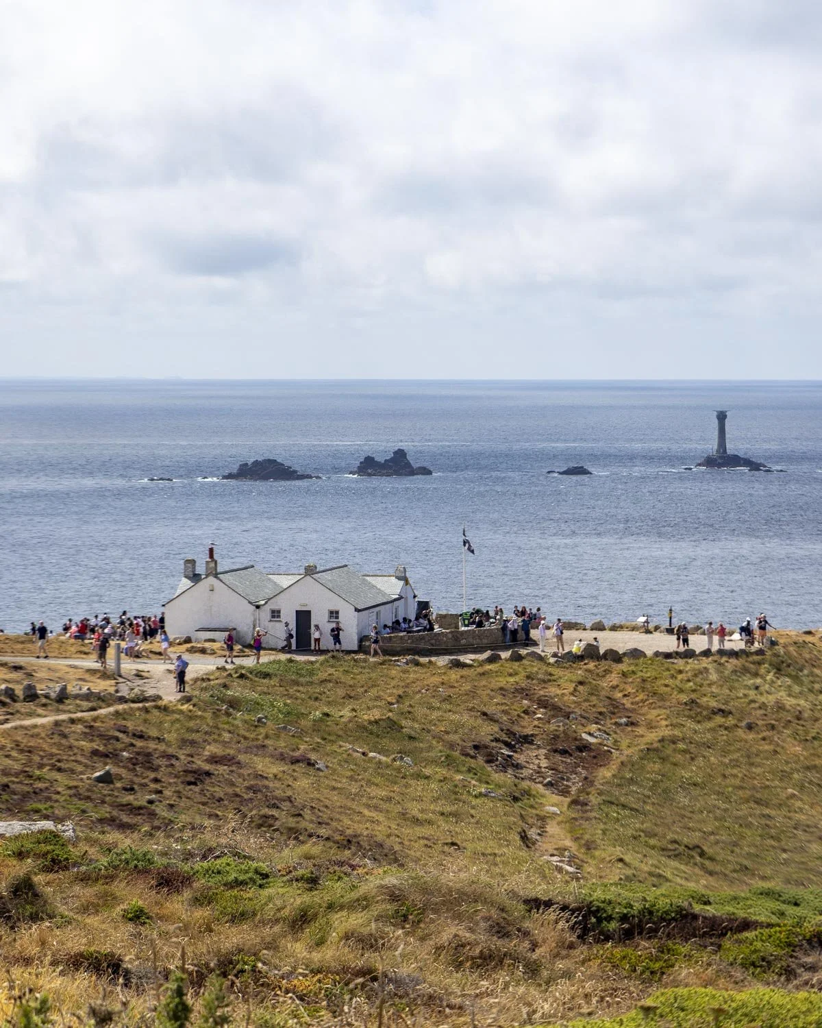
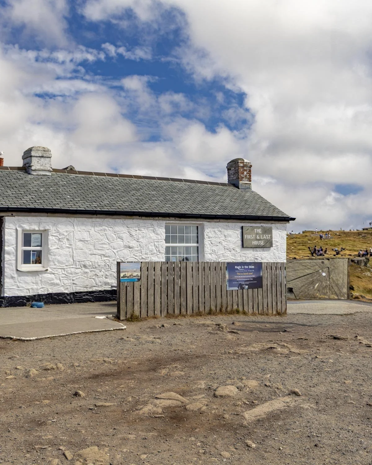
It was originally a place to buy refreshments in the 1860’s, so Lands End has clearly been a tourist hot spot for many, many years!
Apparently it’s one of the most photographed buildings in England which was a surprise because I’d never heard of it until we did this walk, but I guess it does make sense as Lands End is such a popular place.
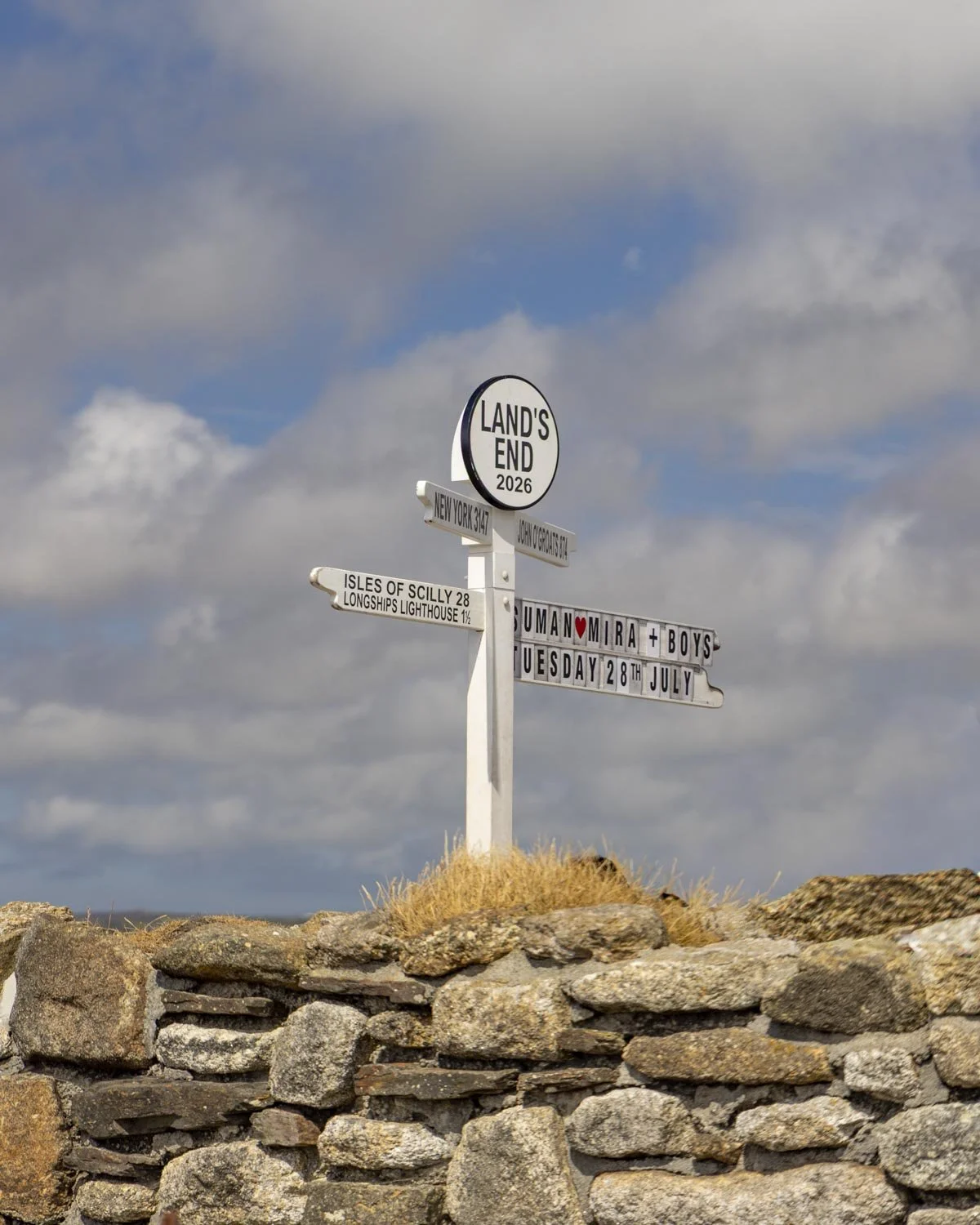
From the First and Last House you continue on for a few minutes to Lands End and that signpost you’ve probably seen many times before in photos.
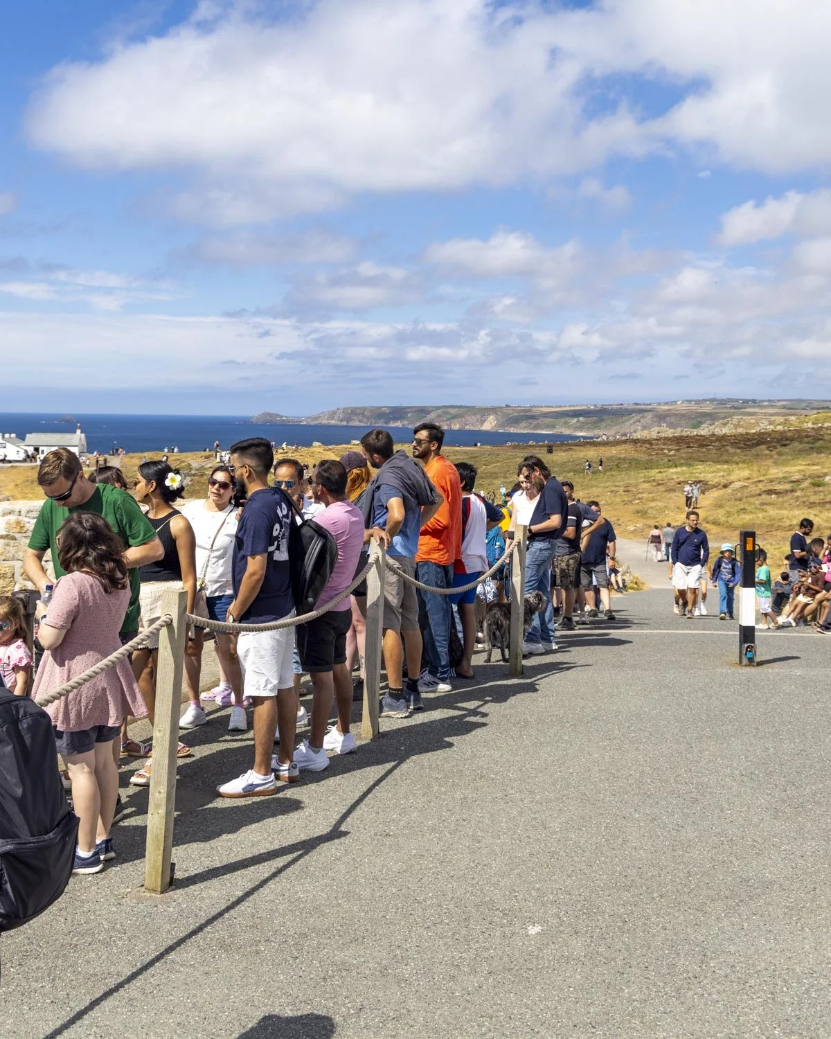
In summer time there was a queue to take photos which I have to say I wasn’t fussed about so we continued on straight to the viewpoint.
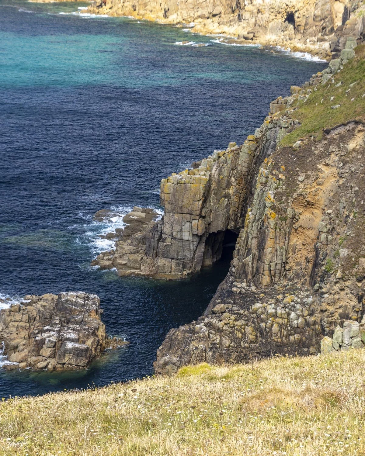
The view is fab, but no more so than other spots on the walk (the sea arch was particularly dramatic from this angle though), however, we can now say we’ve visited the most westerly point in England!
If you fancy a stop and some refreshments there is much to choose from… there’s a cafe, an ice cream cafe, a restaurant, a bar, a kiosk, a cornish pasty place, and another bar.
I might have missed one but you get the gist! The views from the outdoor tables are wonderful and though it was a bit busy for our liking I can see the appeal on a sunny day!
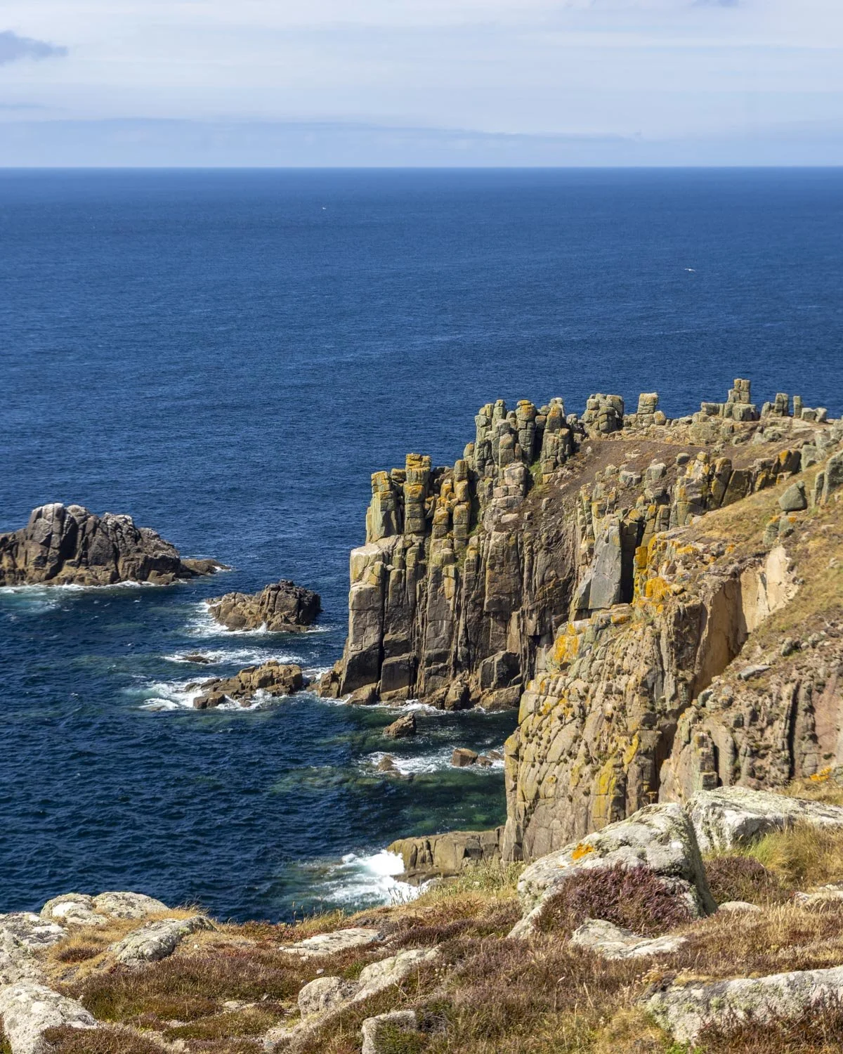
To Nanjizal Bay (the Song of the Sea Cave)
From Lands End the walk continues towards the car park and then bears right onto the rocky path leading downhill. At points the trail is slightly set back from the water, though there were often social trails which would get you closer if preferred.
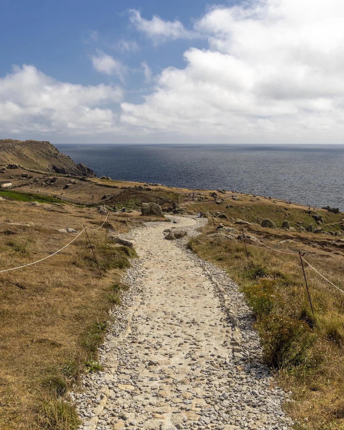
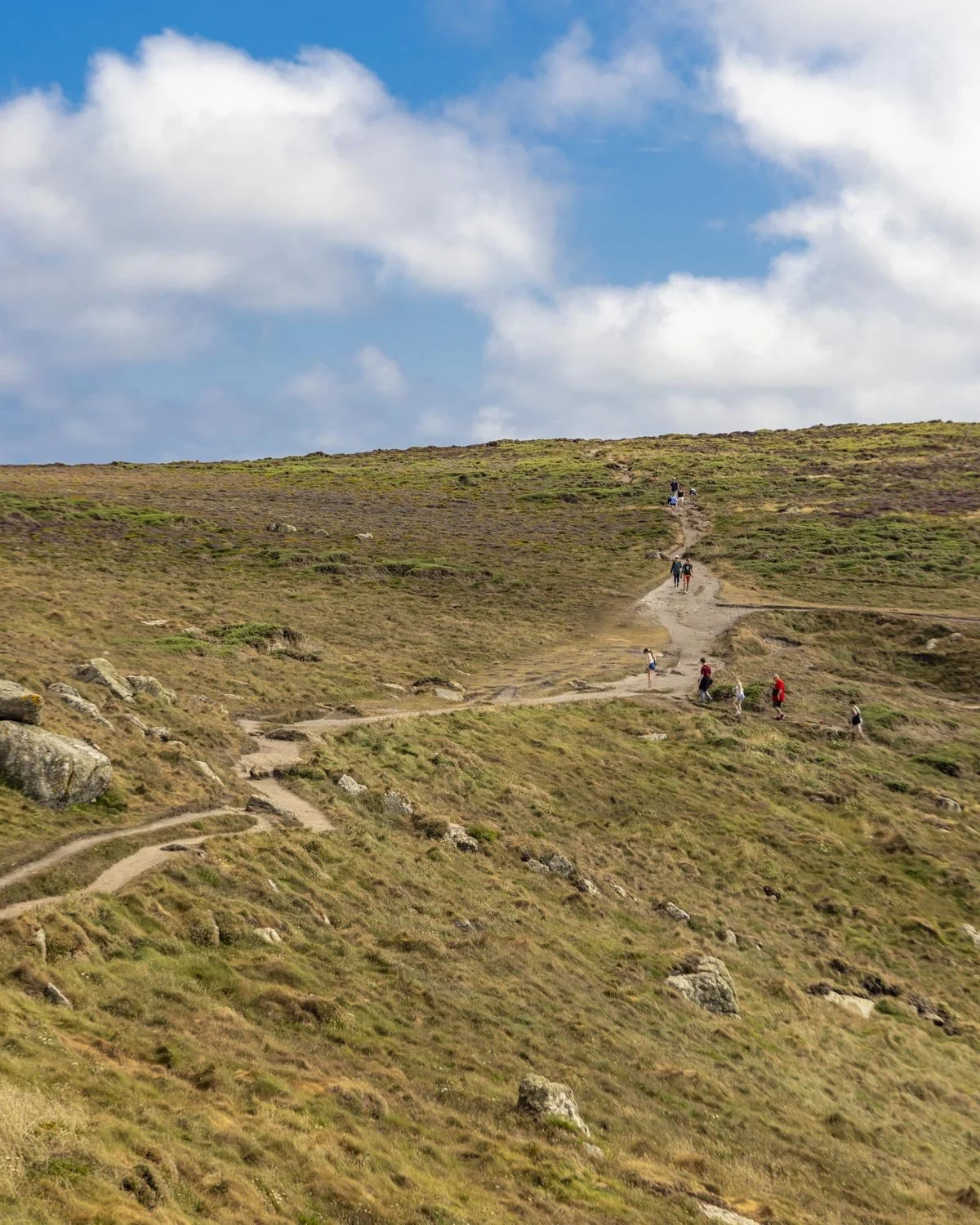
Roughly 1.7 miles (2.8km) into the walk, there’s another great sea arch and the track follows the coast more closely again. If you’re lucky enough to walk this next stretch of the trail on a sunny day the water colour is sublime.
It’s beautiful even when slightly overcast but the first time we walked it on a sunny day, it had paradise island vibes.
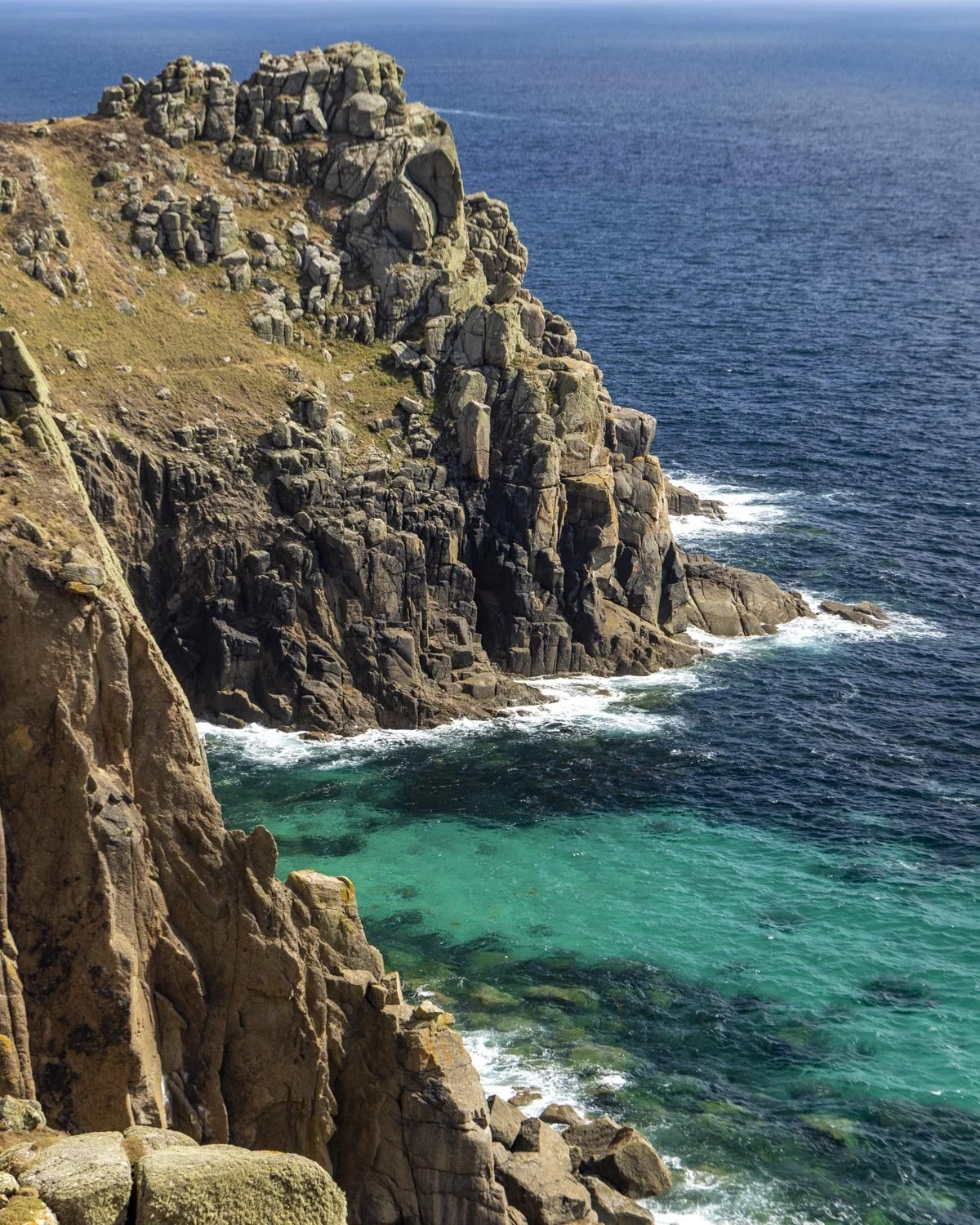
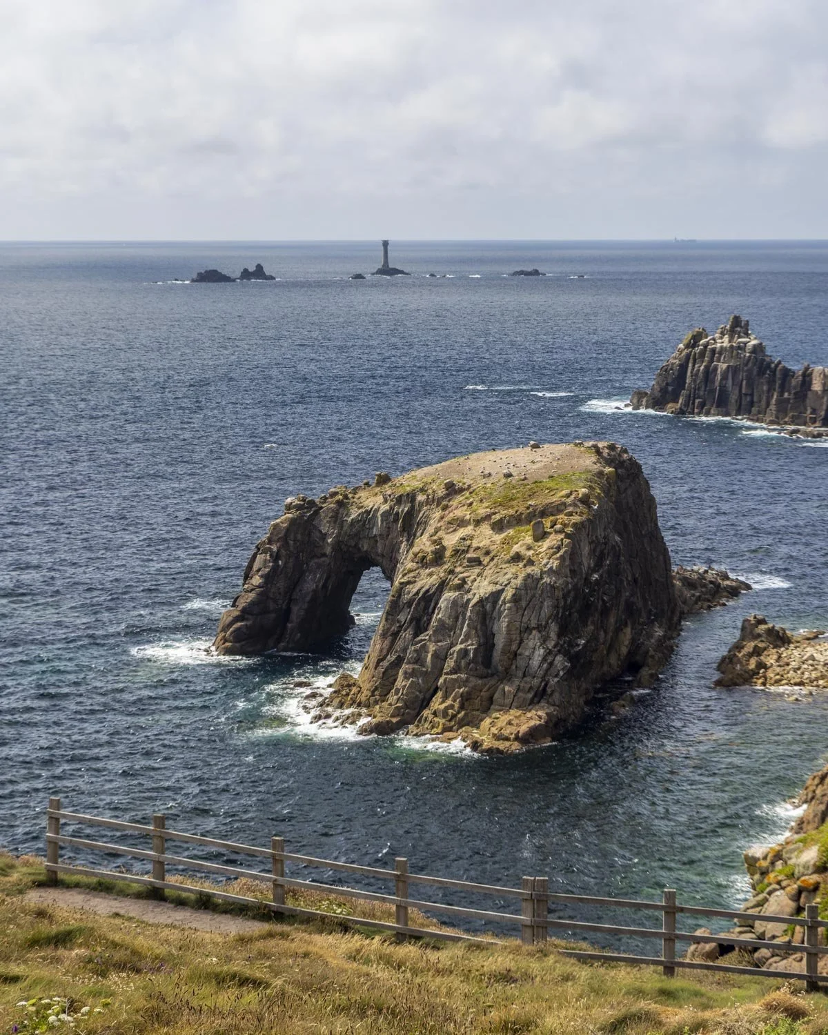
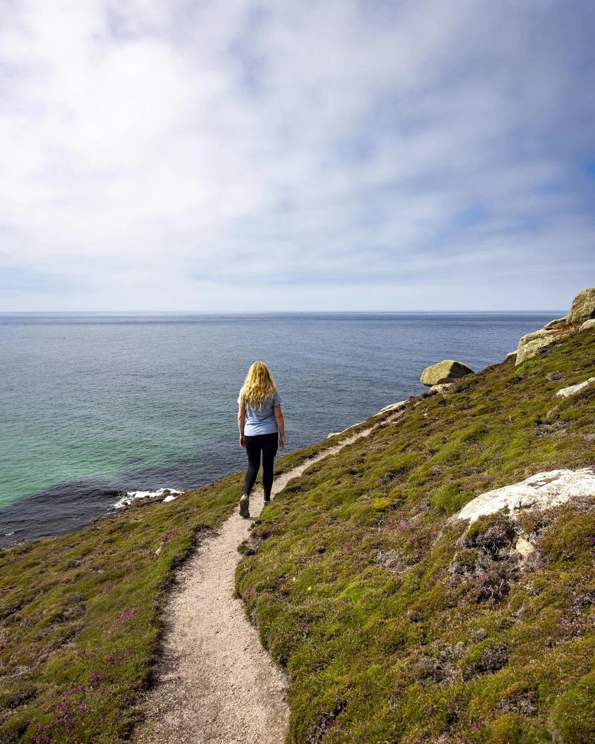
There are a few steps but the majority of the next part of the walk is flat and on a good track. It’s narrow at times but it doesn’t feel precarious - though vertigo sufferers may disagree!
Around 2.2 miles (3.6km) into the walk you’ll get your first views of Nanjizal Bay, but it’s still a little way off yet (approx 1.1km).
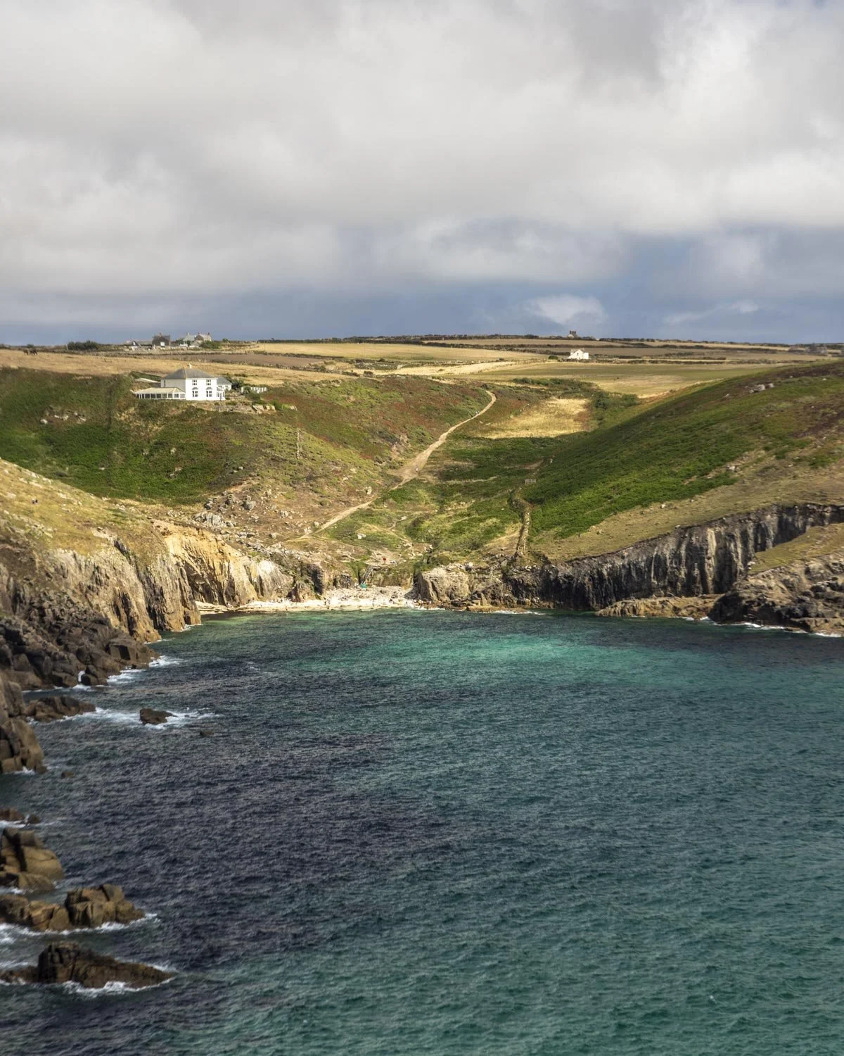
Just beyond this you will come to the stinging nettle gauntlet. It’s only a short section of track but it’s pretty dense and you’re braver than me if you do it in shorts!
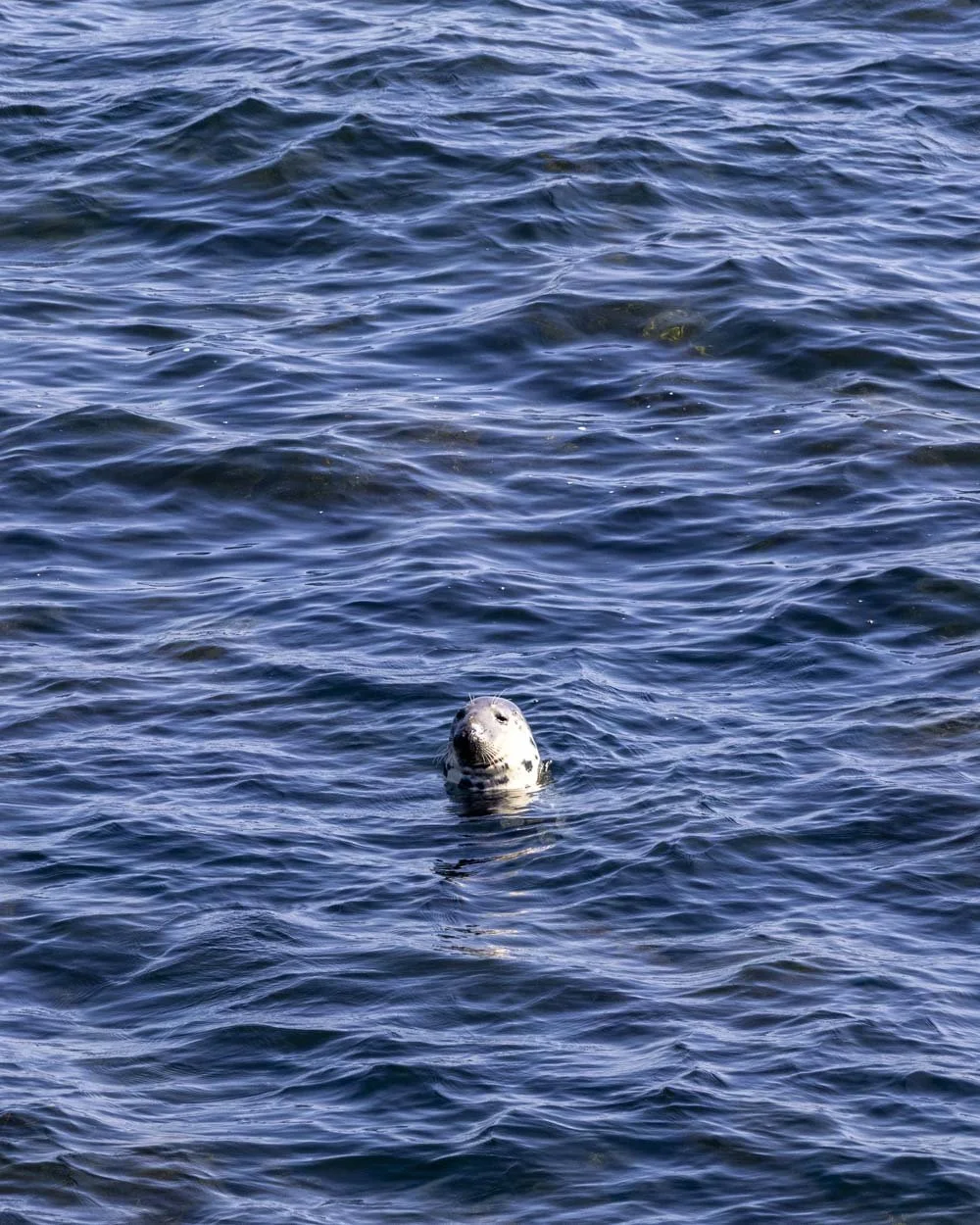
However, a little reward for your efforts is that the bay view you’ll reach just after the nettles is a seal hot spot.
We have a 100% track record of spotting them here, they’re usually bottling so keep an eye out for unusual shapes in the water.
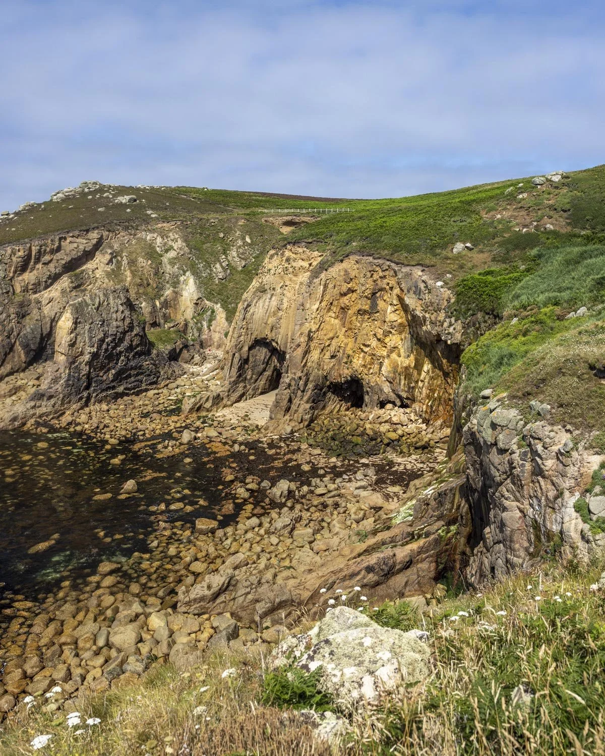
After the nettles you’ll see two giant sea caves if you look back the way you came. Sadly they are inaccessible from the trail (and even from the coast, there’s a lot of rocks in the way), but you can still admire them from above.
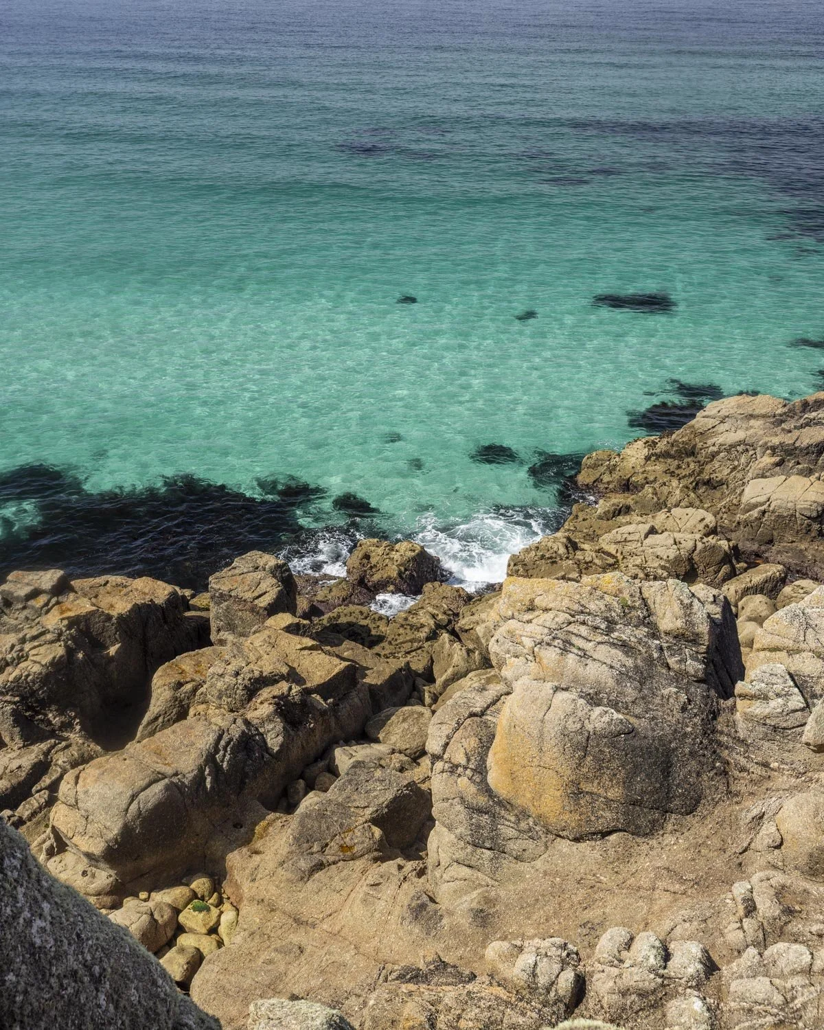
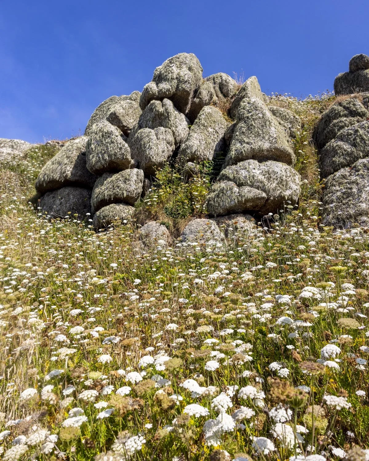
The last 700m of the walk to Nanjizal Bay is incredibly scenic. The narrow path hugs the cliff edge and the views are very special. It’s one of my favourite parts of any walk we’ve done in Cornwall so far.
You’ll finish the cliff top path with a view of the Song of the Sea Cave from above and you can then head down to the bay itself.
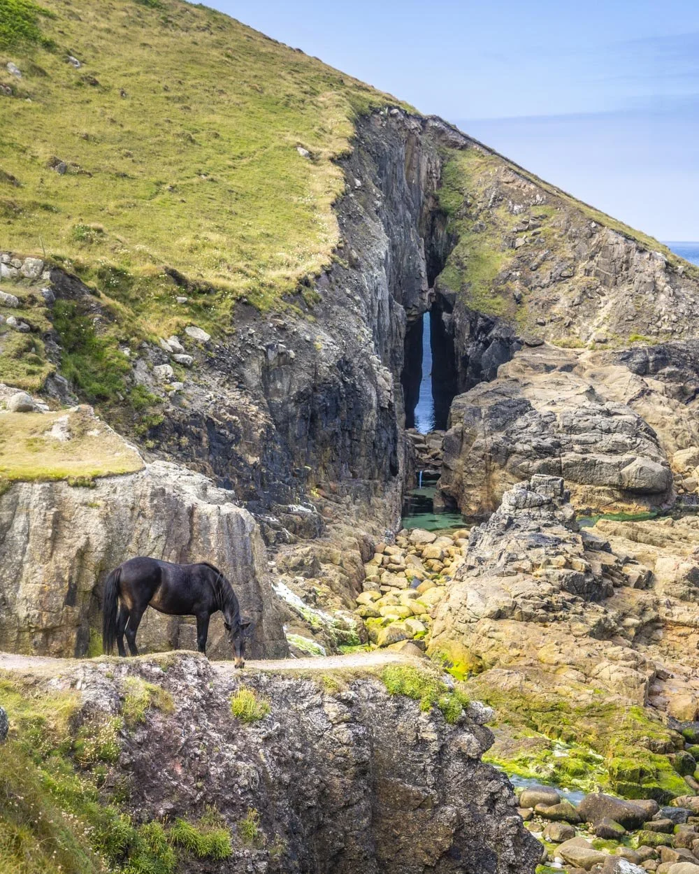
The Song of the Sea Cave (Nanjizal Bay)
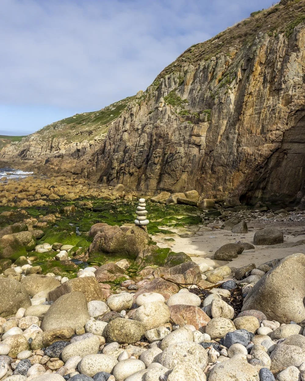
To get down to the bay there is a wooden staircase and then you’ll need to cross some rocks to reach the cave. This is best done on a low to mid tide.
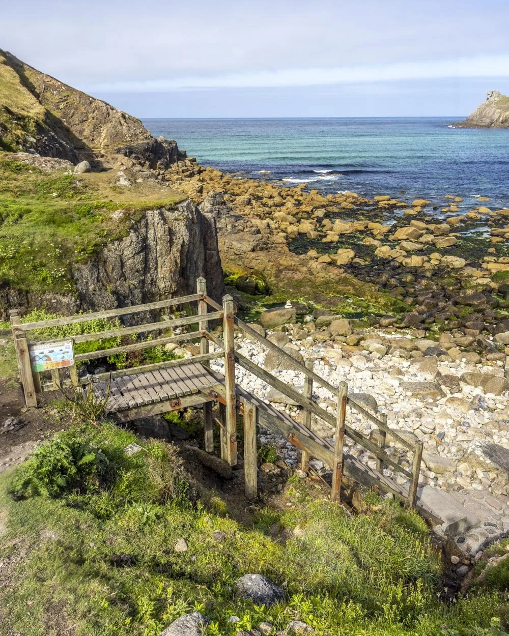
The rocks are a bit tedious but the cave is worth it. There’s a second cave (dry unless the tide is in) to the right (west) side of the beach, which originally had rocky access, but on our last visit it had become sandy!
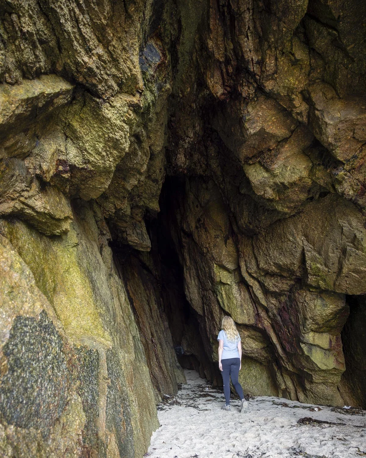
The tidal pool is to the left of the stairs (eastern side of the beach). The final few steps to the front of the Song of the Sea Cave involve climbing over some rocks which can be slippery when wet. It’s not too bad but requires a bit of care.
The tidal pool is still there at low tide but it’s deeper at mid tide. At high tide the bay is submerged.
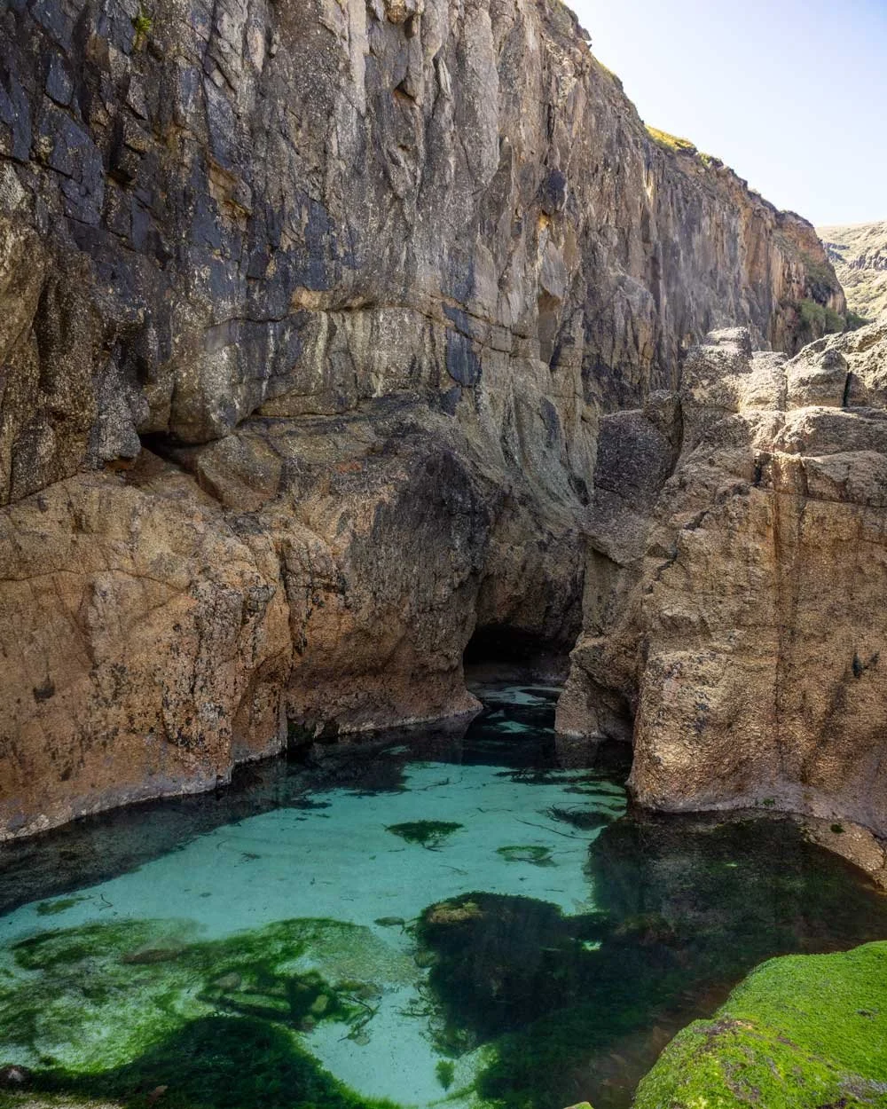
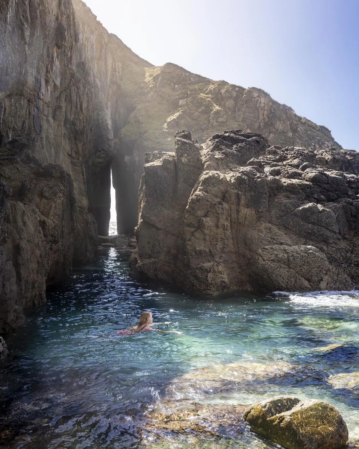
The cave is basically like a big sea arch between high cliff walls.
It’s wonderfully atmospheric and the turquoise pool at its foot is one of the best wild swimming spots in Cornwall.
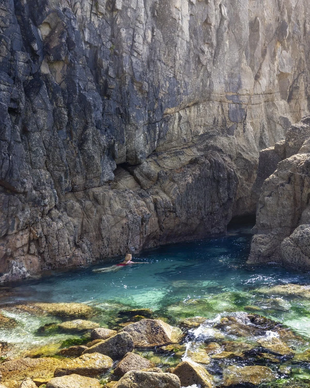
You want to aim for a smooth or slight swell though as it gets very choppy in the cave otherwise, especially on a mid tide.
It’s the kind of spot that you could easily imagine being in a storybook or fairytale, it’s a special place.
Completing the circuit: through the farmland
If you’re all about the views you should return the way you came as the second half of the loop is pleasant but nothing more. It barely saves you any distance either so really it’s only worth doing if you don’t enjoy going back on yourself.
To complete the loop, head back along the trail you came to Nanjizal on (up from the wooden staircase), but take the path on the right 90m later. The path leads steeply uphill on stairs before flattening.
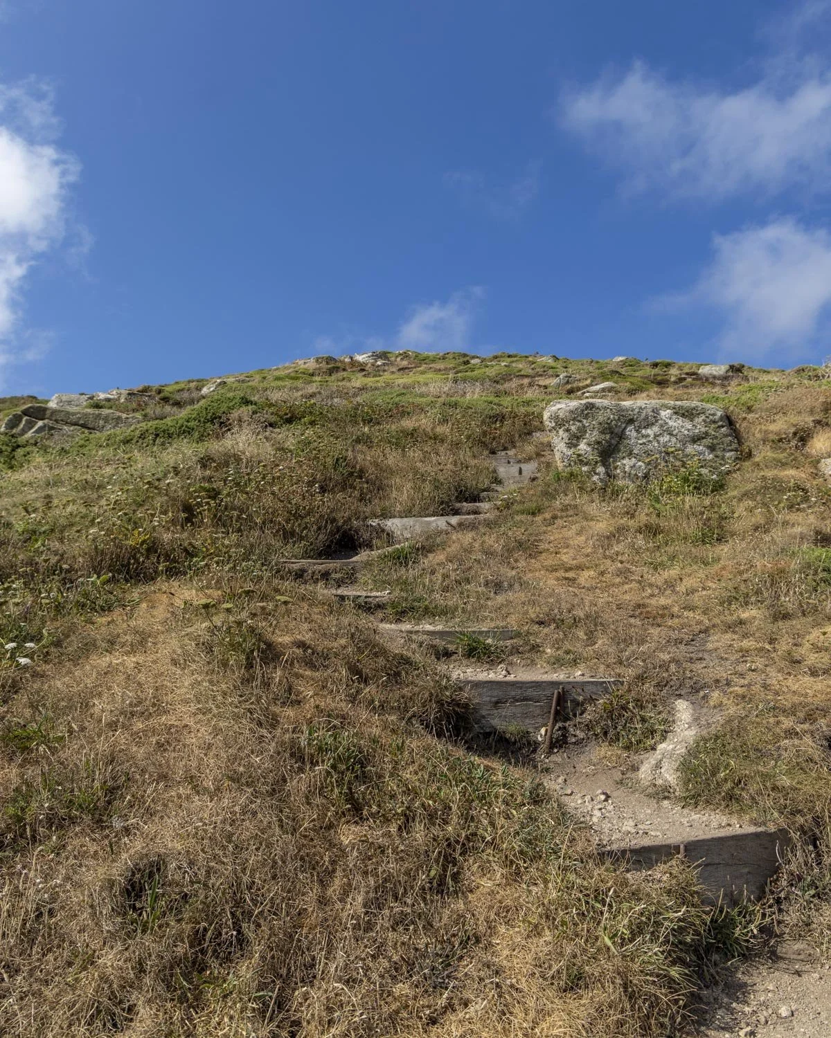
The first 250m is a steep climb, though the views looking back over Nanjizal make it worthwhile.
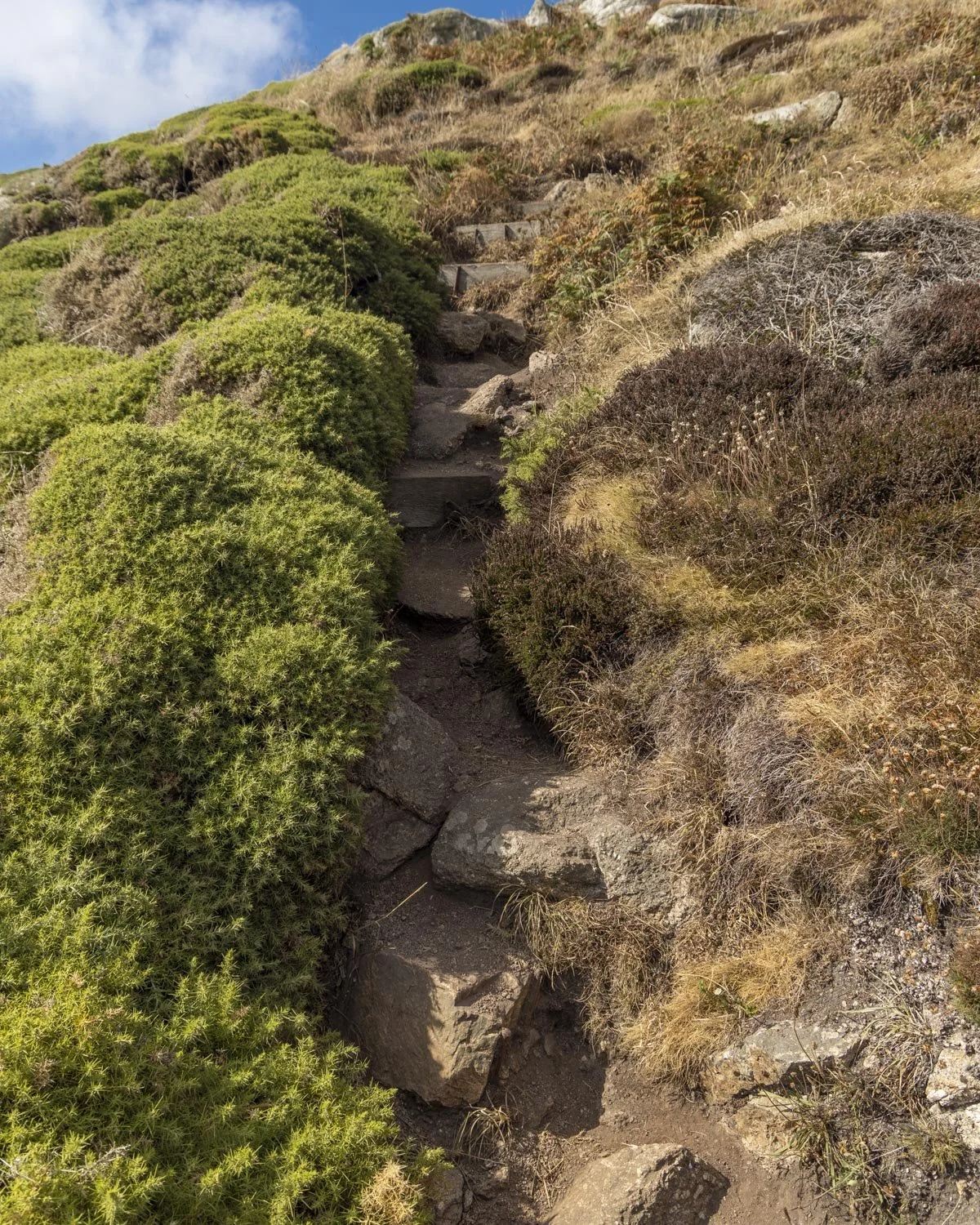
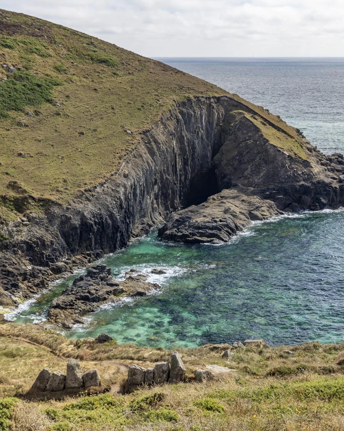
The gradient slackens 250m in and then flattens 150m later. I quite liked this next stretch along the narrow dirt path with some nice countryside views, it’s definitely the best bit of this part of the circuit.
We reached the farm fields 570m after leaving Nanjizal and you’ll walk through a series of fields for around 550m.

The paths are always easy to follow and for us in summer they were dry, though I can imagine they often get very muddy. It was quite peaceful and pretty in its own way so not a hardship, but I think the scenery went downhill for a large portion of the walk after the fields.
At the end of the fields you come to some houses and here’s where you can learn from our mistake.
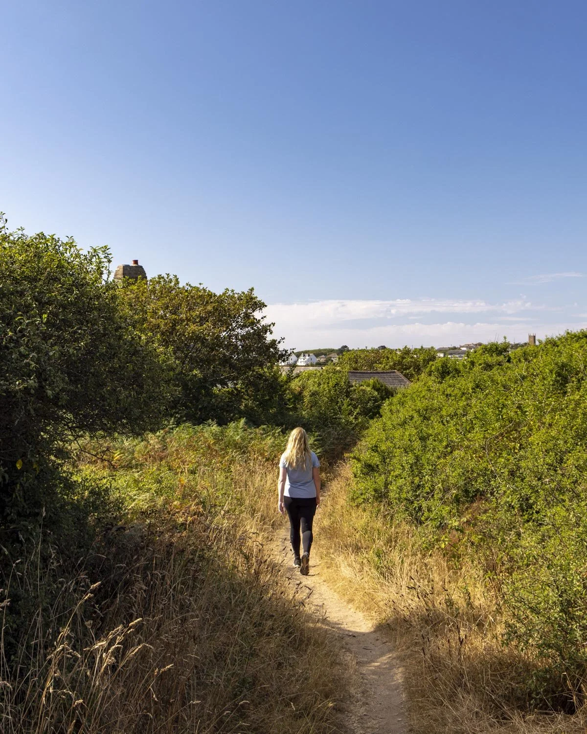
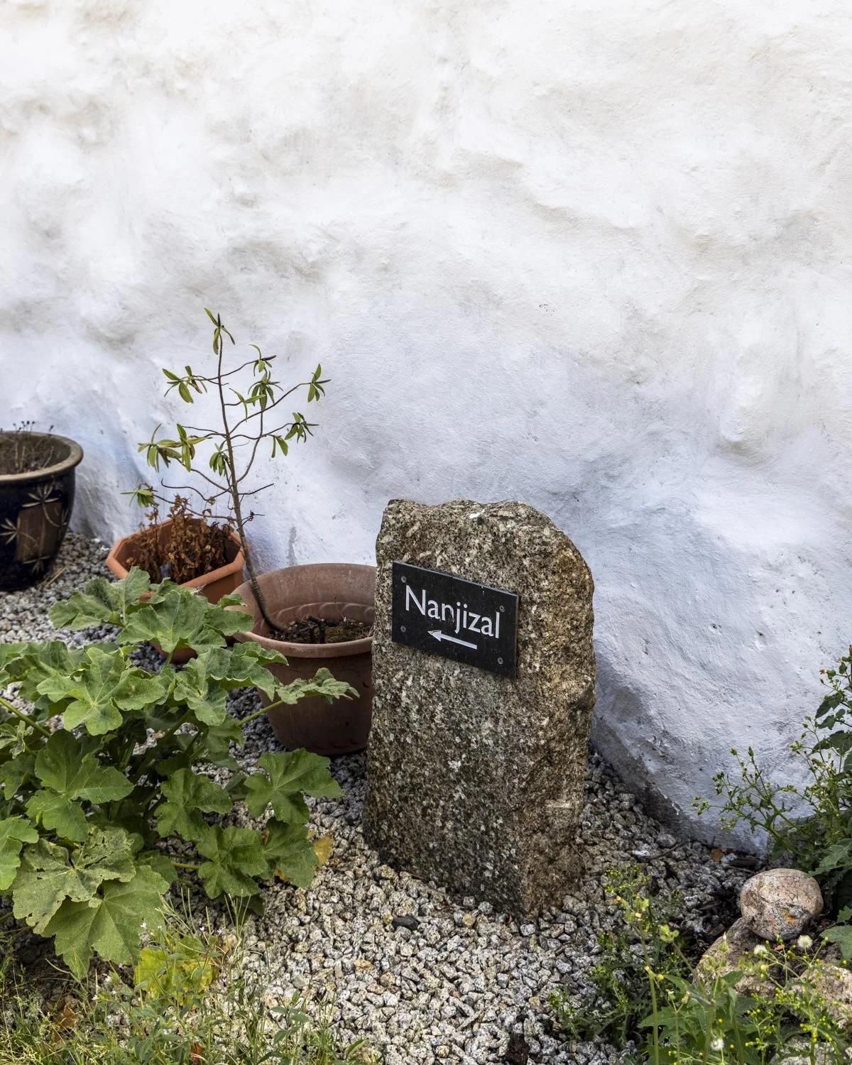
You are supposed to walk through the farmhouses, cutting across more fields and out onto a country lane. We’re used to this but normally there is something to indicate you’re allowed to do so.
This time it literally felt like walking into someone’s private residence with no signs on the gate or anything to suggest it’s a public right of way.
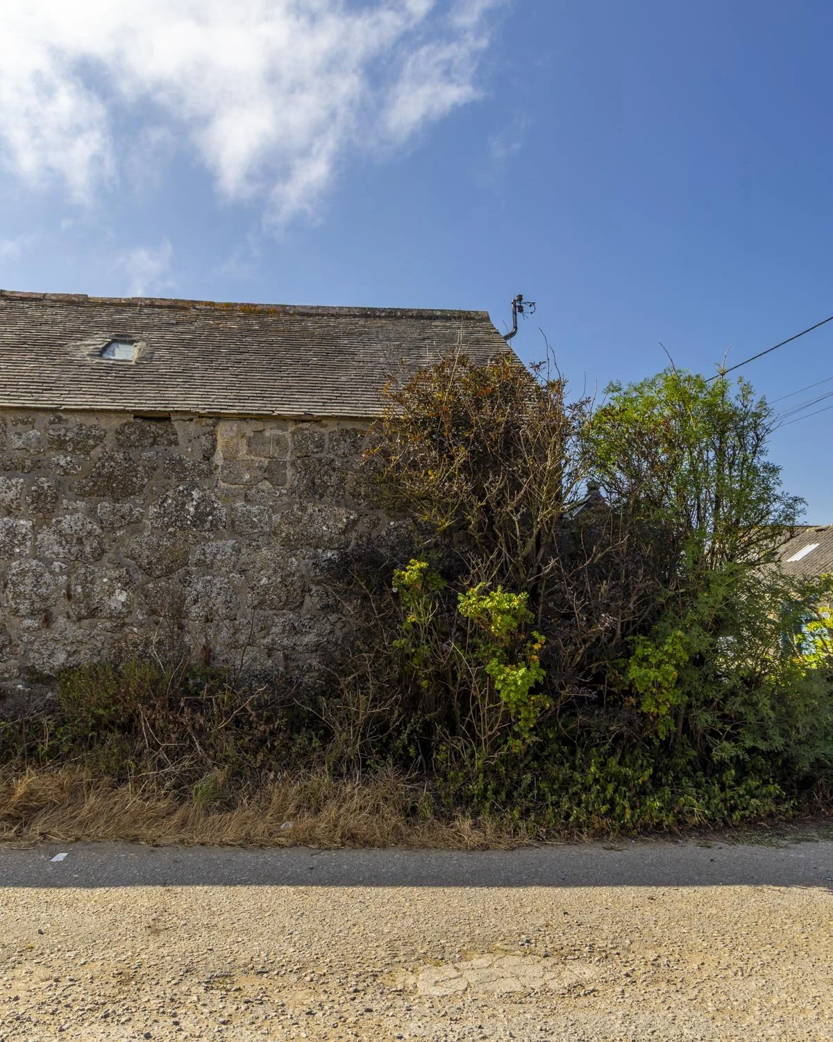
This meant we took a longer route on roads, however, when we reached the other side we saw where the footpath came out (it’s signposted on the other side) and it was straight through the fields and farmhouse, so definitely do that instead.
Once you come out to the road turn left and walk through the village. You’ll come to a junction with the A30 350m later and follow the footpath on the opposite side of the road.
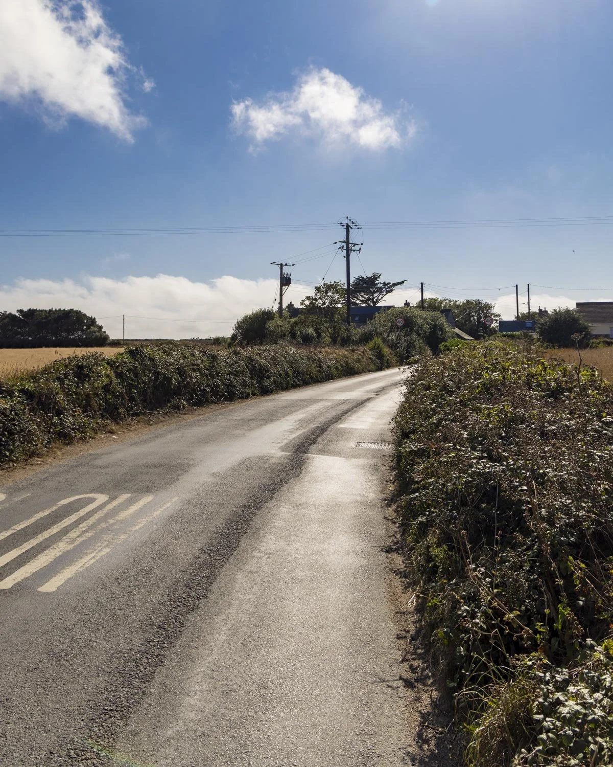
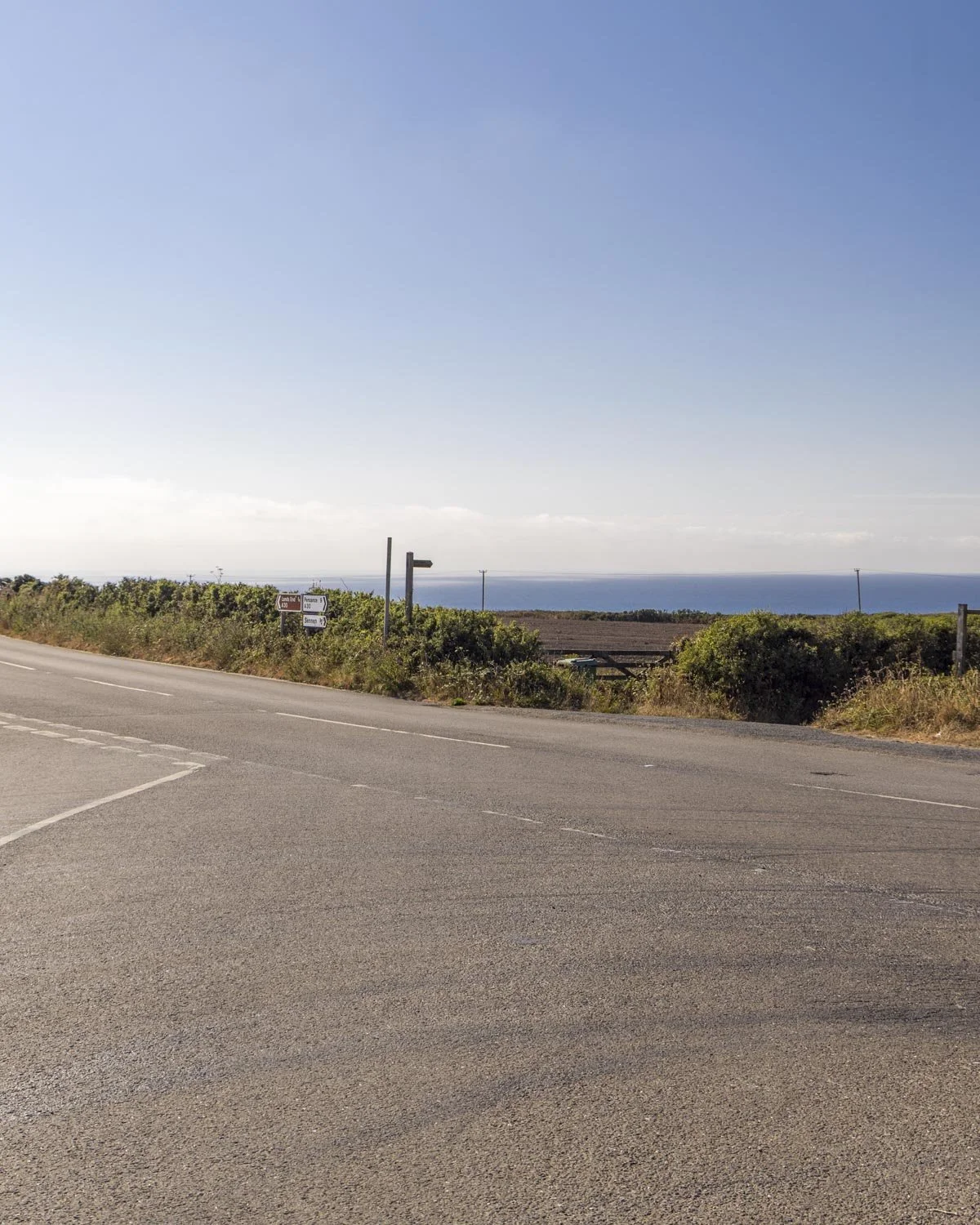
You’ll see a narrow path leading towards a field 150m later and then you’ll cross the field which has a nice clear path.
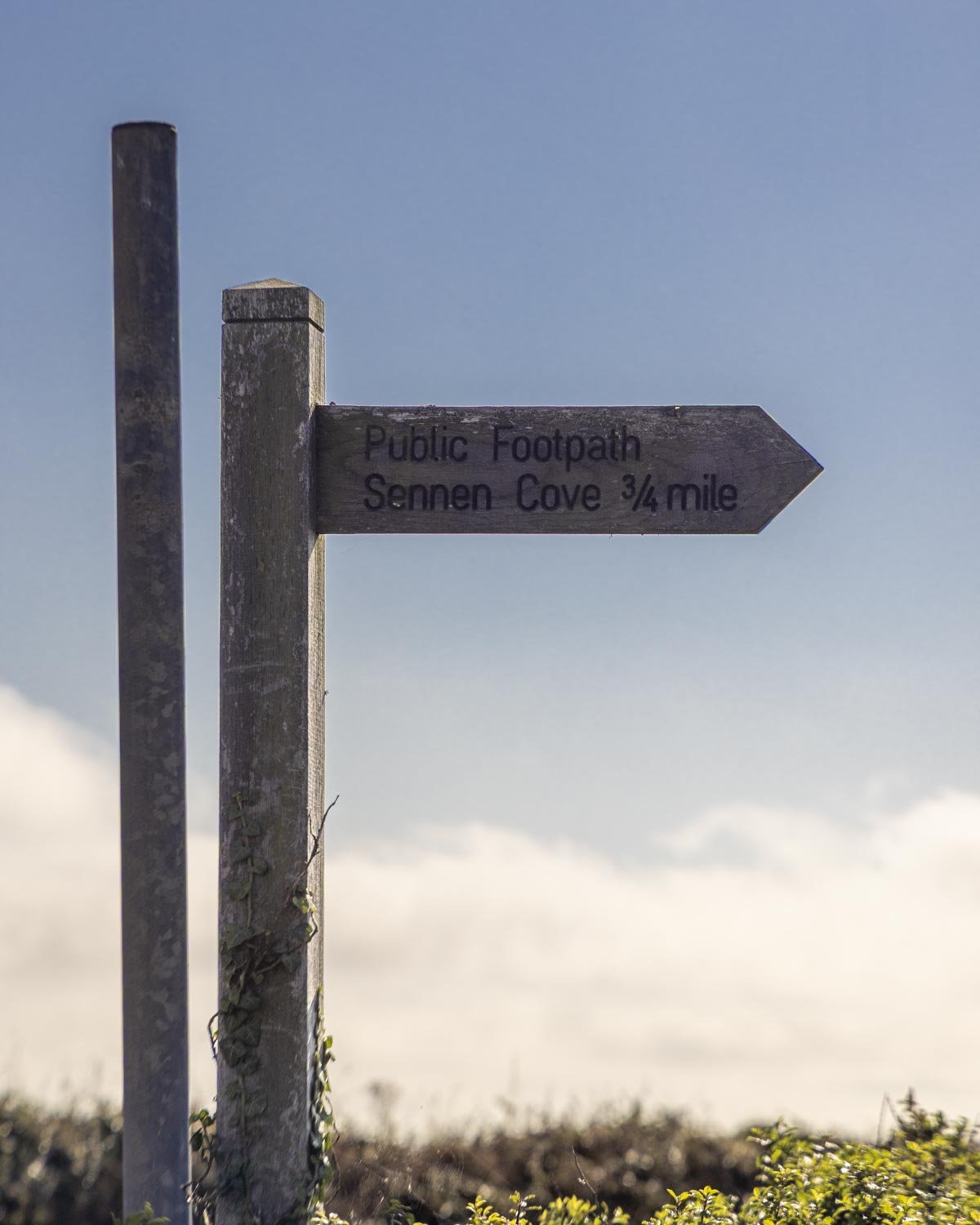
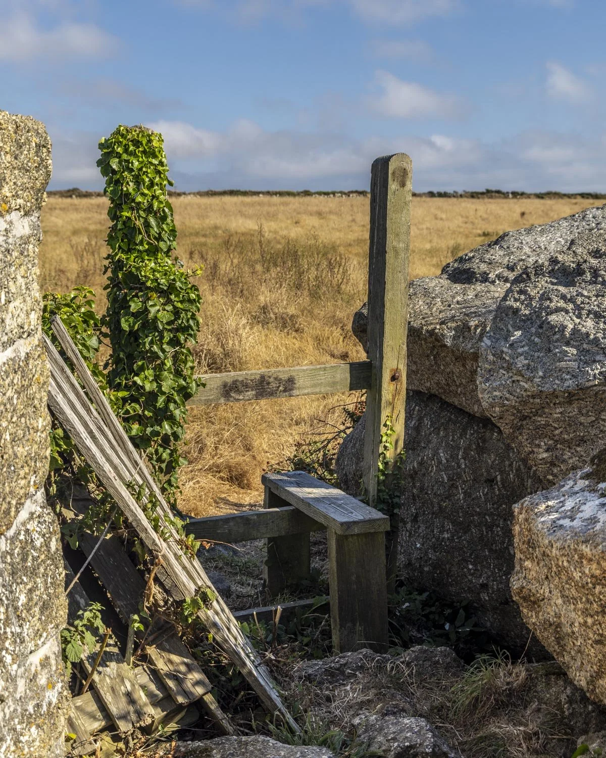
This is the nicest field of them all because it has a sea view, you can even see Lands End and the mining relics out at sea. You’ll soon come to a stile which you climb over and 100m later you will reach the road.
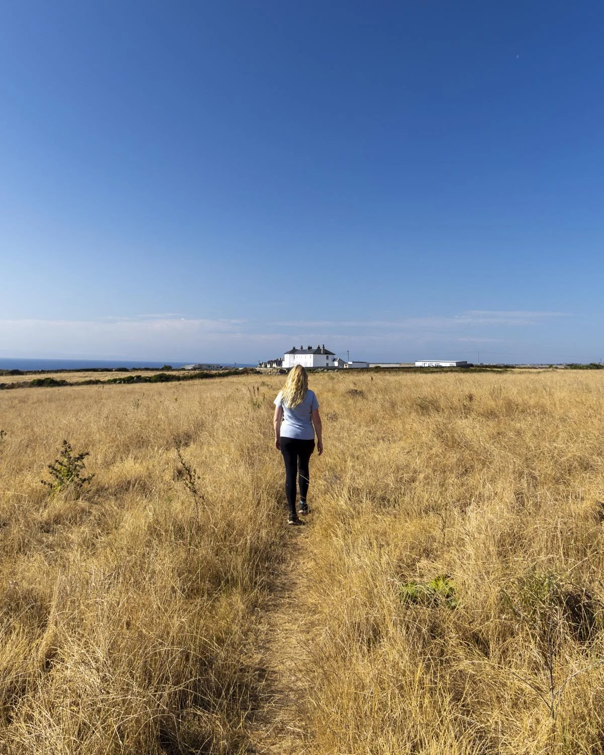
You have a 150m walk on the road before turning left onto the public footpath. Roughly 250m later there’s a left turn onto a series of stairs which take you down to the car park. The views are gorgeous along this stretch, with Sennen Cove Beach visible in the distance.
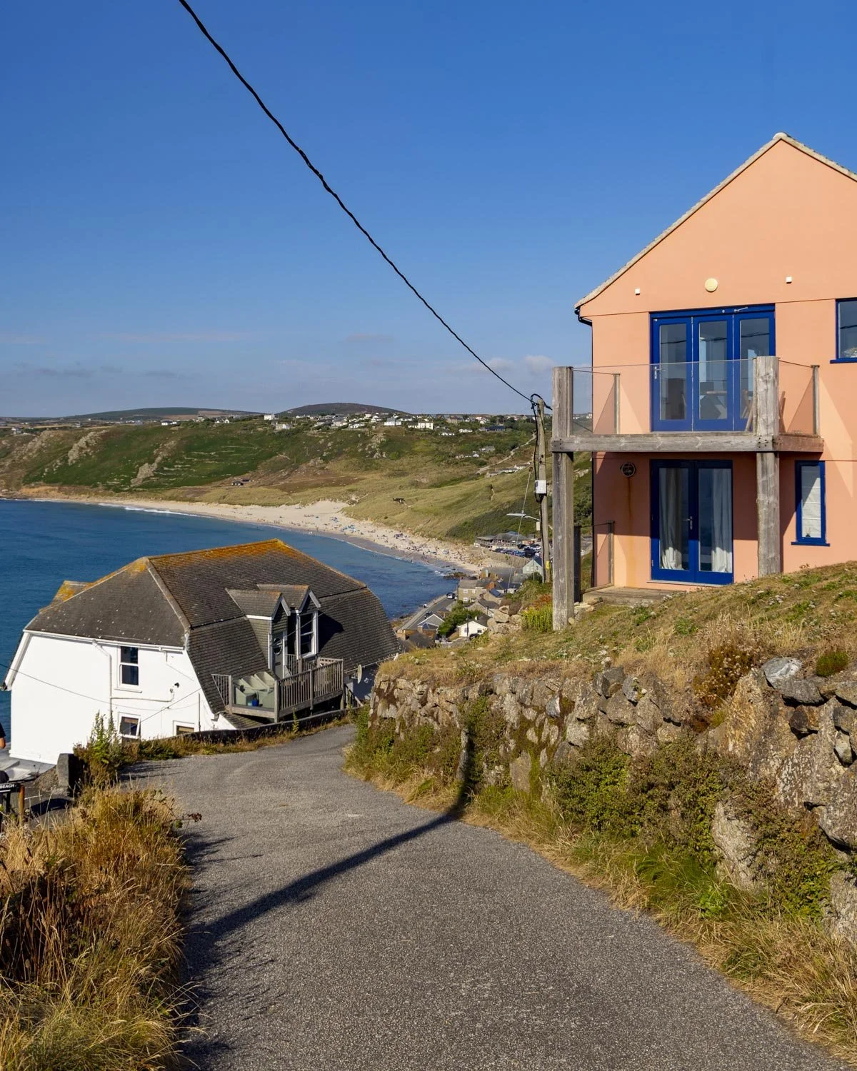
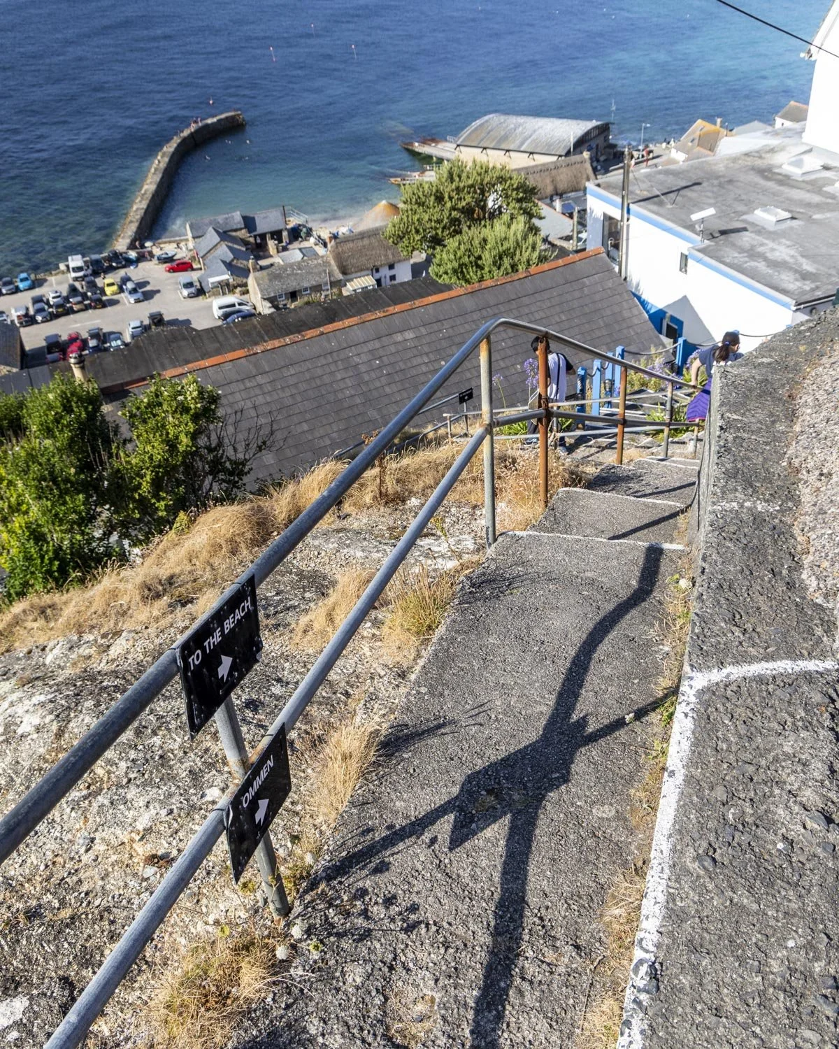
You’ll arrive at the car park 2.4 miles (3.8km) after leaving Nanjizal Bay.
Where to park and getting to the trailhead
The walk begins from the Sennen Cove Harbour car park, postcode TR19 7DB. It’s a small car park but we only had to wait for around 5 minutes to get a spot in the summer holidays.
The current charges are:
£1.40 for up to 1 hour
£2.70 for up to 2 hours
£4 for up to 3 hours
£6.50 for up to 8 hours
24 hours £10
There are toilet facilities at the car park and again at Lands End. Sennen Cove is around a 20 minute drive from Penzance, 40 minutes from St ives and an hour from Newquay.
This post may contain affiliate links, meaning at no additional cost to you, that we will earn a small commission if you click through and decide to make a purchase. This helps towards the costs of running our website. Thanks for your support.






All the best wild swimming spots in Cornwall, from shimmering turquoise rockpools to emerald lagoons, quarry pools and stunning waterfalls. If you love longer swims there are many calm stretches of water where you can swim from bay to bay stopping at all the little gorgeous coves along the way.