
The majority of the Goulds Circuit walk is not especially interesting, particularly in a park as spectacular as the Warrumbungles.
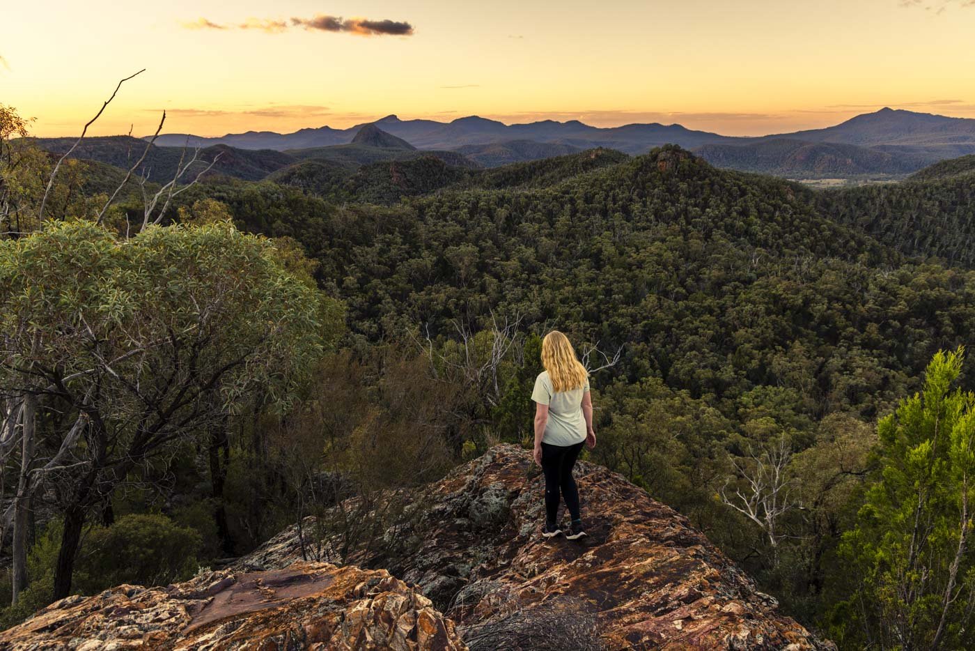
However, the second of the viewpoints along the track, Macha Tor, is absolutely breathtaking. And I mean seriously beautiful. It’s so good, that all plans of not watching the full sunset to minimise how much of the track we would be walking in the dark went out the window (a common theme in the Warrumbungles!).
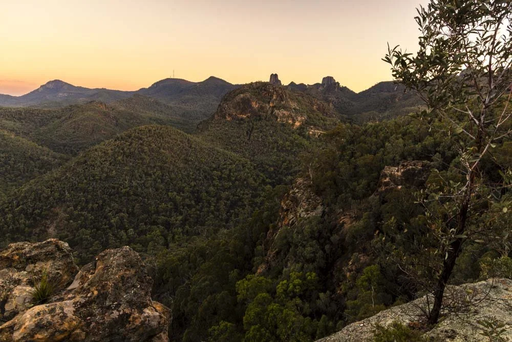
This is a spot that is very hard to leave, with a mountain panorama to rival the best we’ve seen in NSW. You feel fully immersed in the scene, part of it, rather than merely a spectator.
Add in that glorious sunset light and you have a truly unforgettable walk. Here’s what to expect from the trail.
The Goulds Circuit Track
The stats
Distance: 7.3km circuit
Elevation gain: 370m
Difficulty: Moderate
Trailhead: Pincham Car Park
Summary: The majority of the Goulds Circuit walk is on a fairly well maintained track, with a significant portion of the walk to the tors being uphill.
There is a sizeable amount of uneven terrain including some rocky and rubbly sections, but none of it is overly steep or slippery.
The exception to this is when you need to climb up onto the tors. Febar Tor is pretty easy, only requiring you to climb up a few rocks. Macha Tor is a touch trickier with a short steeper section on a mix of rock slope and dirt track.
It is described as being a ‘near vertical climb’, but this is not the case. It’s not even close to vertical and the steepest section can be avoided by taking the gentler path to the right.
I would say it involves a brief bit of light scrambling, so if you’ve read about the vertical climb and were feeling put off, don’t be!
Starting the trail: through the bush
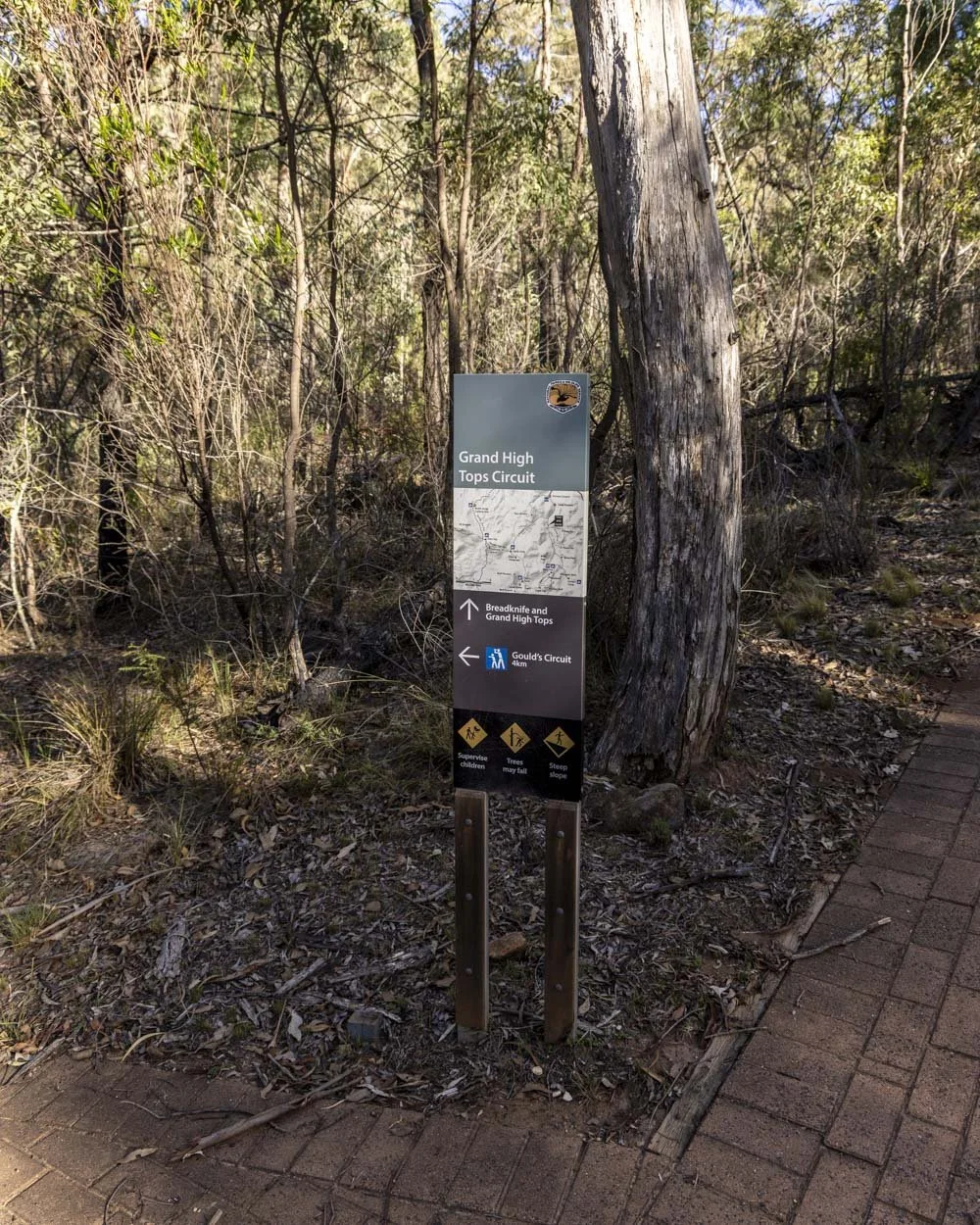
From the southern side of the Pincham car park the walk initially follows the track signposted as The Breadknife, Goulds Circuit is not signposted.
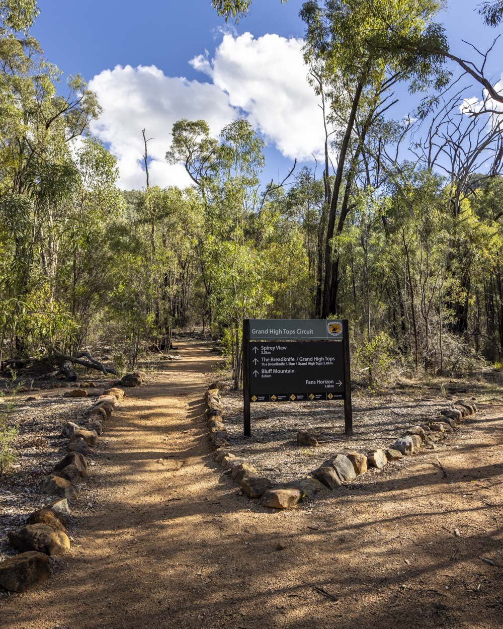
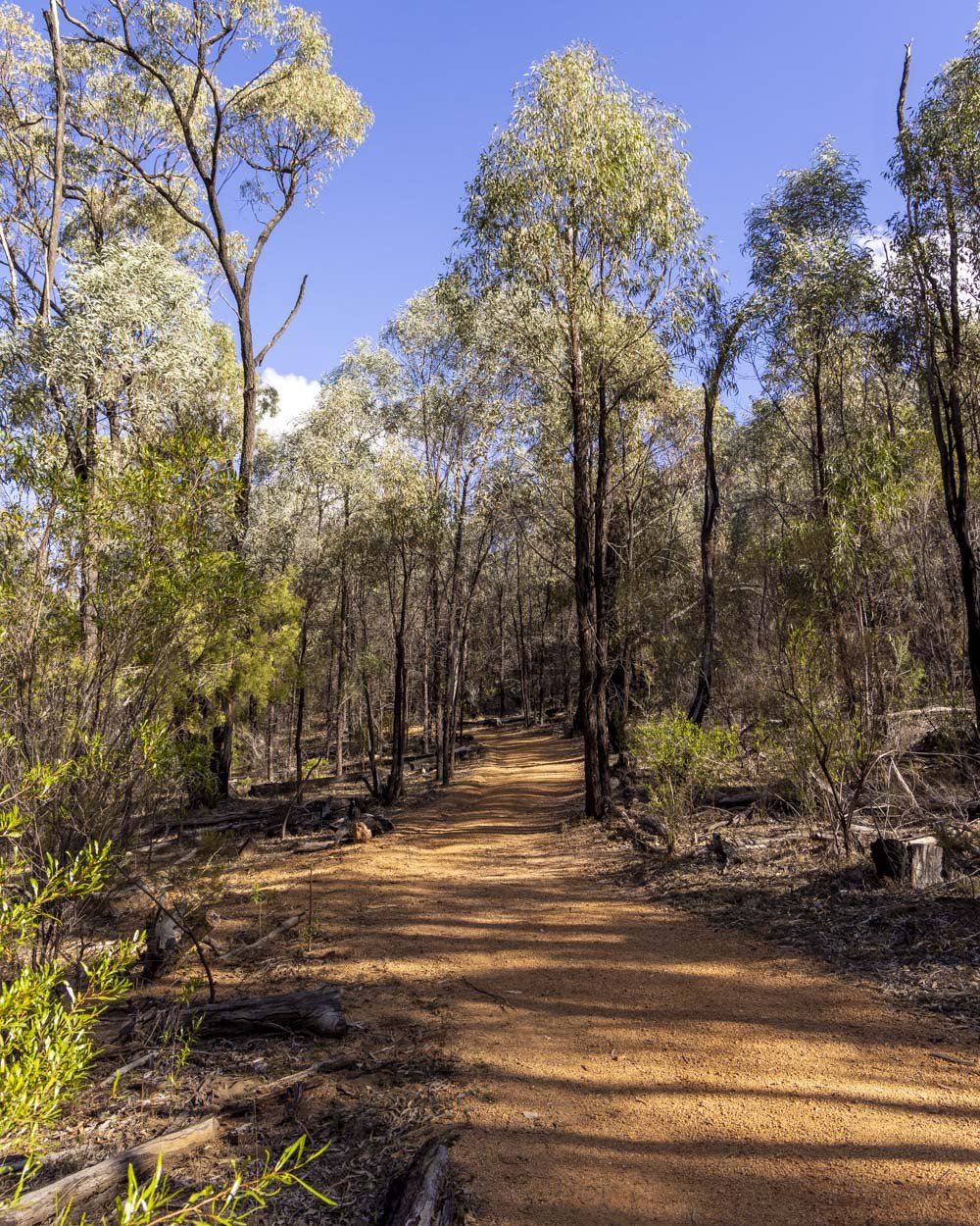
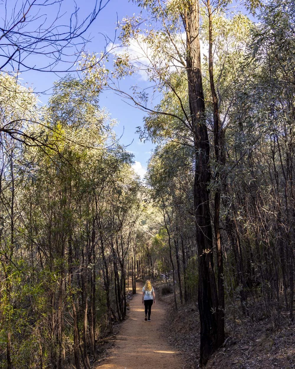
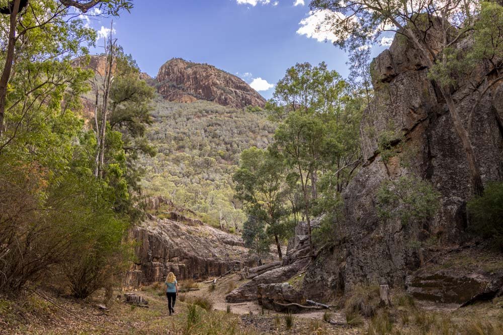
It’s begins as a paved path with a brief bit of uphill track before it flattens. You’ll cross a couple of metal bridges and the trail is nicely shaded by the bush for much of the way as you follow a dry creek bed, or if you’re very lucky, an actual creek!
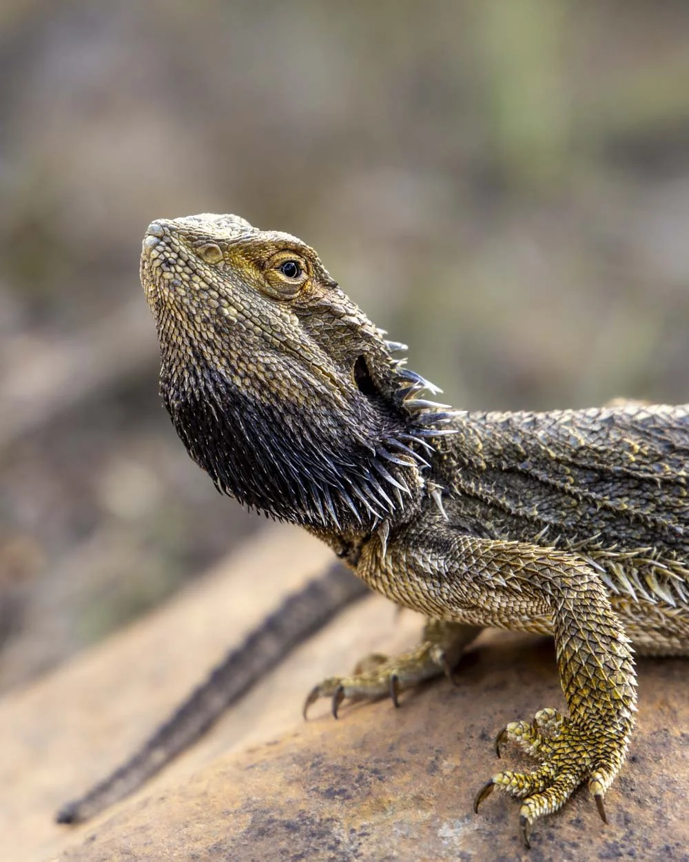
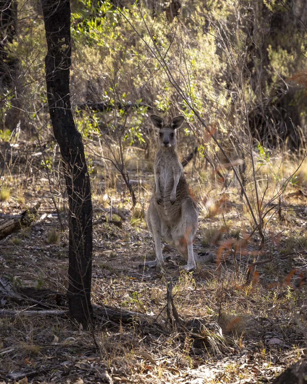
Our only companions along the way were the numerous kangaroos and excitingly, one very cute bearded dragon!
The track is a mix of flat and uphill, but never steep. Just over 1.1km into the walk you’ll reach a junction and again Goulds Circuit is not signposted.
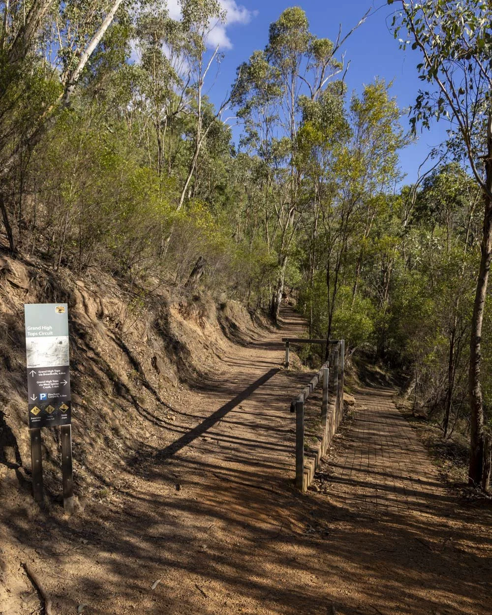
You need to bear left at the fork and you’ll come to a signpost for the circuit 350m later.
We walked in a clockwise direction, following the signpost left. You’re still following a dry creek and will begin noticeably heading uphill roughly 150m after the signpost.
The climb to Febar Tor
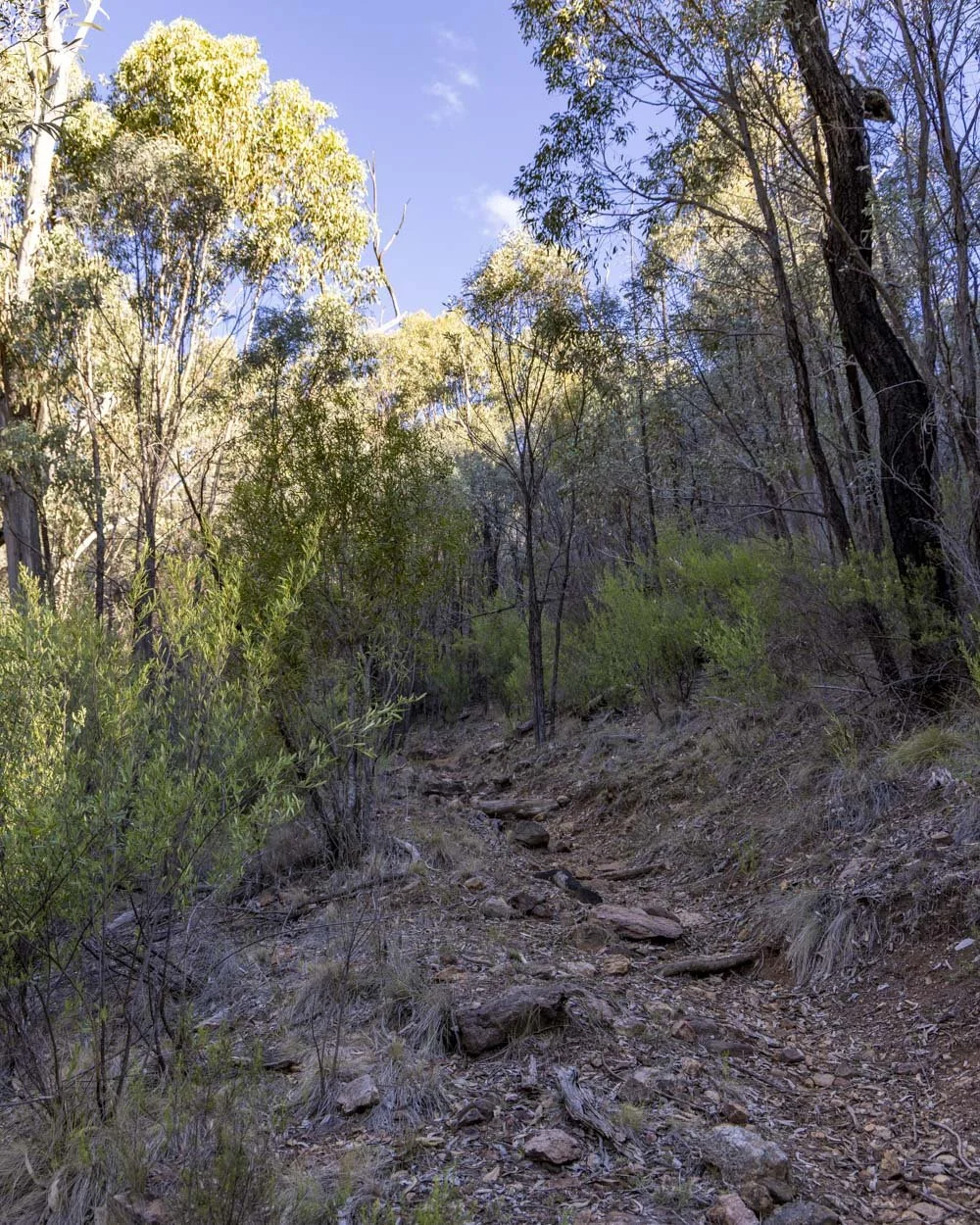
The path gets rougher underfoot after you turn off onto the Goulds Circuit Track. It was never slippery or difficult, but it’s rustic and requires more care with footing.
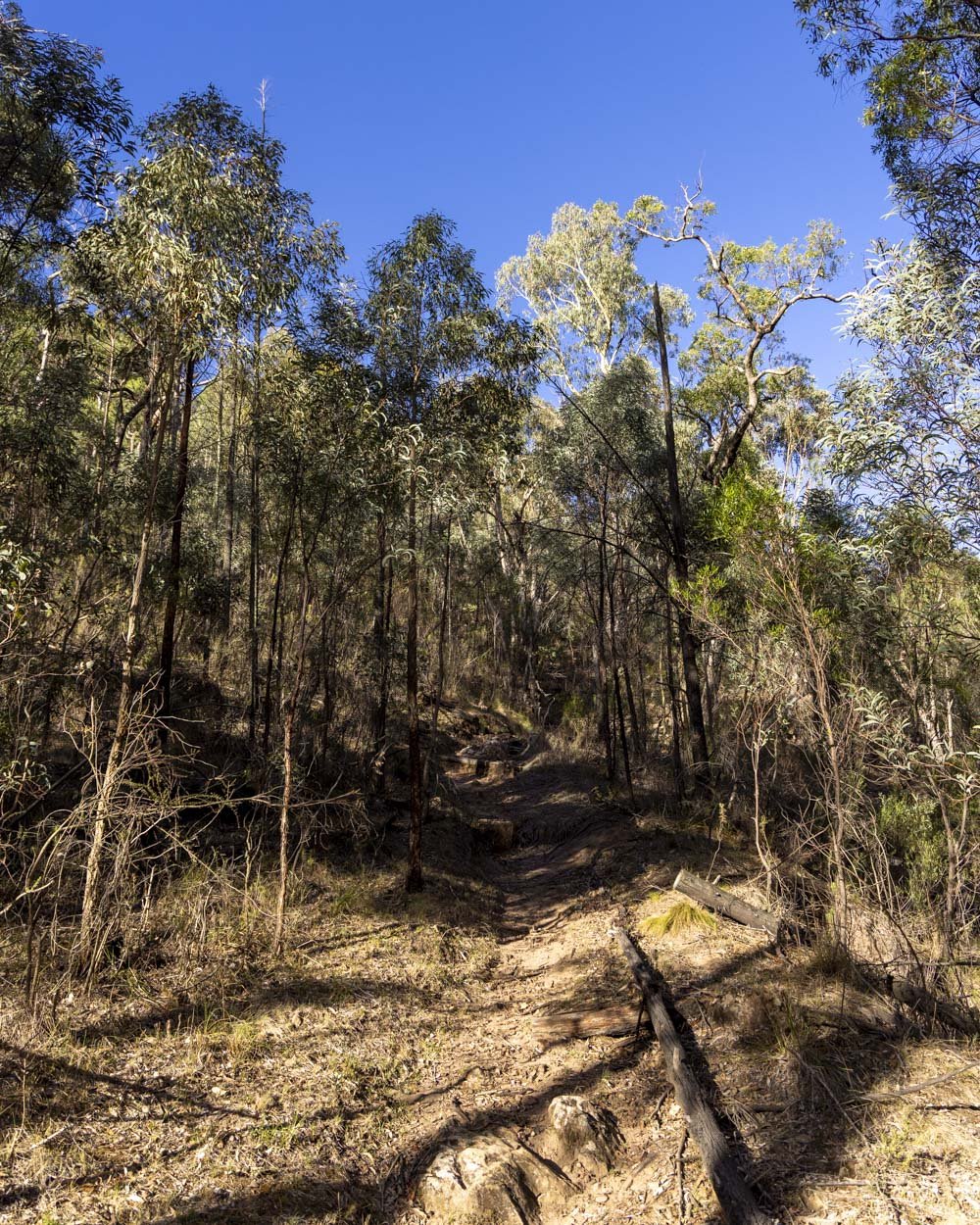
The climb begins on stairs before briefly flattening and then continuing uphill on a series of switchbacks. There is another short flat section before the climb continues.
For us it was completely shaded, but I think even if you weren’t heading up for sunset you would have some decent shade from the surrounding bush.
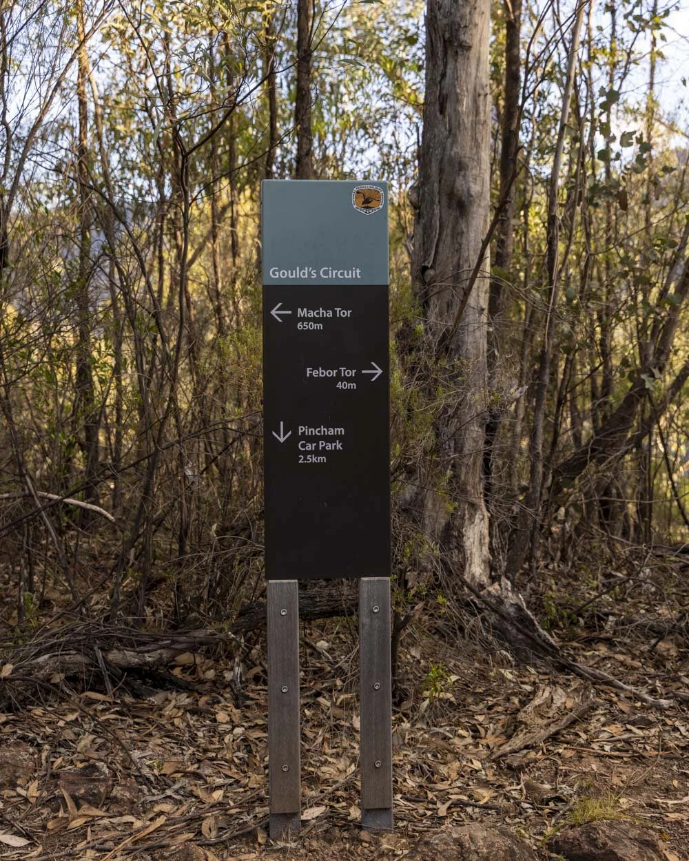
Once you’ve been climbing for just over 1km you’ll reach a junction (2.8km into the trail). Heading right here will take you to Febar Tor.
The sign said it was 40m away though our watch measured even less. Either way it’s a very short detour and well worth seeing.
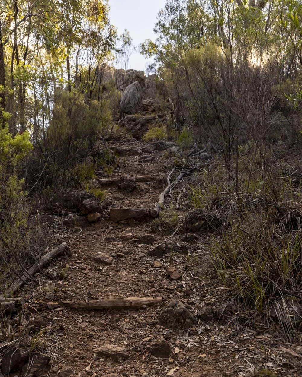
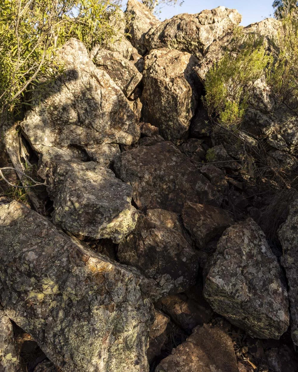
The final few metres to the top of the tor involves climbing up a small rock pile. The rocks are nice and grippy when dry and generally very stable.
Although there are a few trees obscuring the view it’s still a gorgeous vista with the Breadknife and Bluff Mountain clearly visible.
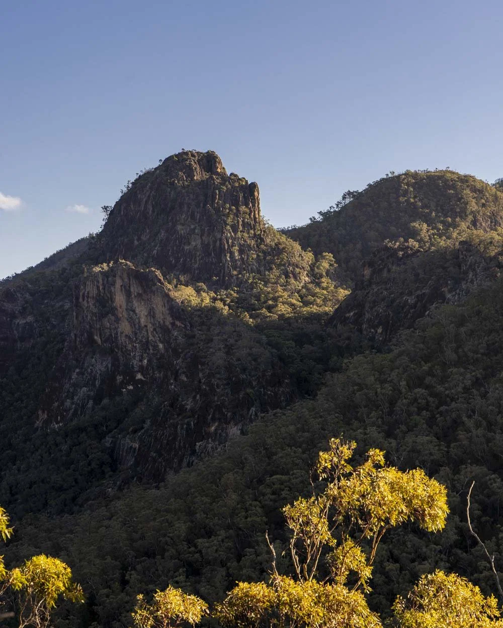
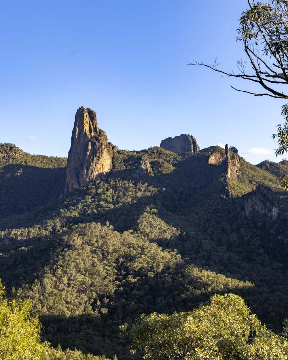
The rocks make for a good spot to sit and enjoy the view and the late afternoon light was really beautiful here.
It’s not comparable to the view at Macha Tor but that is comparing it to one of the most exceptional views in the park.
Scrambling up Macha Tor
From Febar Tor, you head back to the junction and then follow the track to Macha Tor, which our watch measured as 1km away, though the sign said 650m!
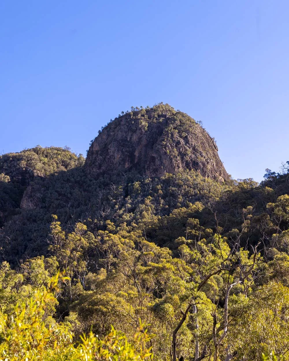
A short way in you’ll see the top of Macha Tor through the trees. From this perspective, it looks like it would be a pretty wild and steep scramble, but luckily it isn’t (more on that to come).
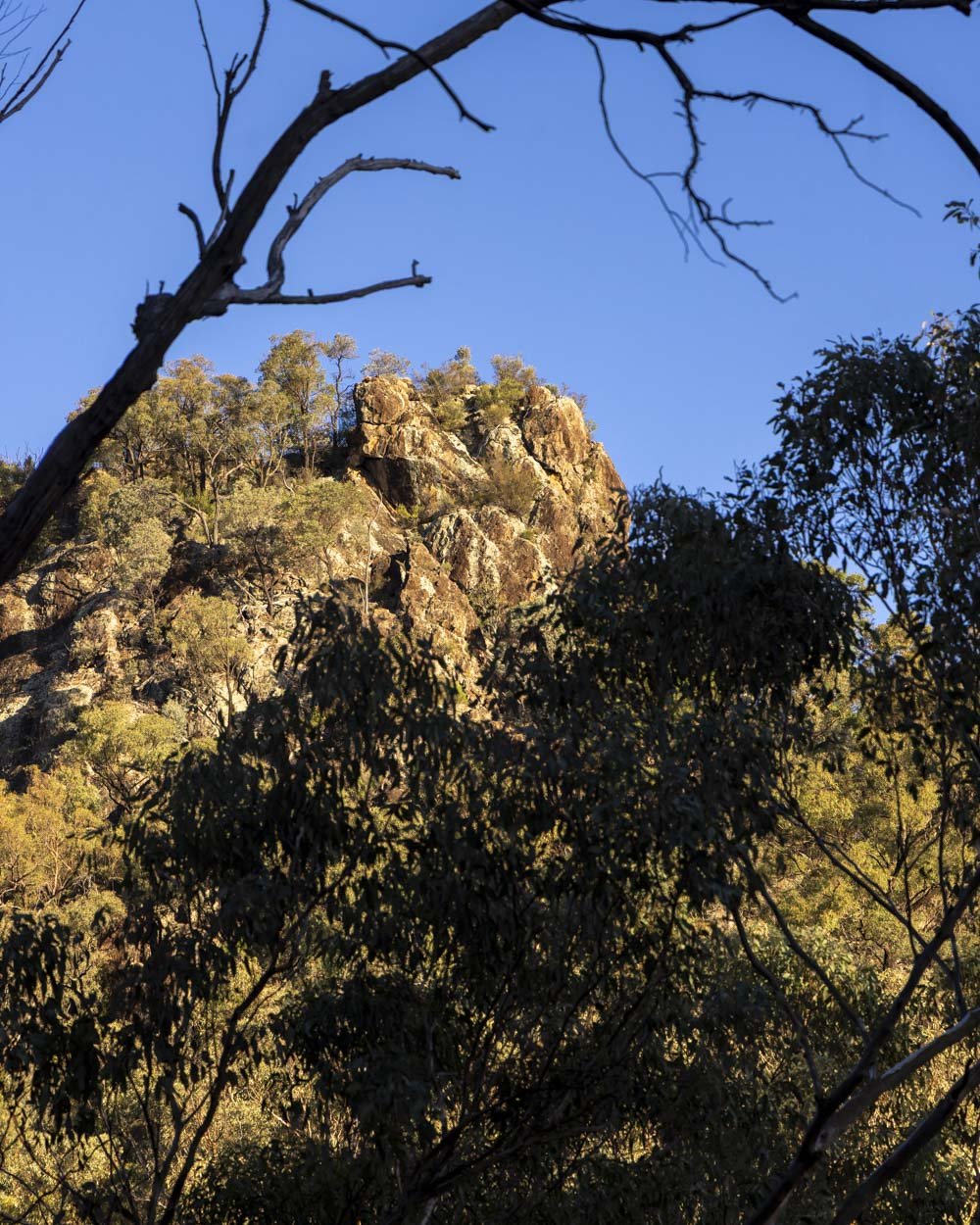
The first 750m to the tor is all on a well maintained track, which is mainly uphill. However, there is a little bit of downhill and flat track too.
You will reach a bench seat at the 3.7km mark and from here the final 150m to the top of Macha Tor is a return track.
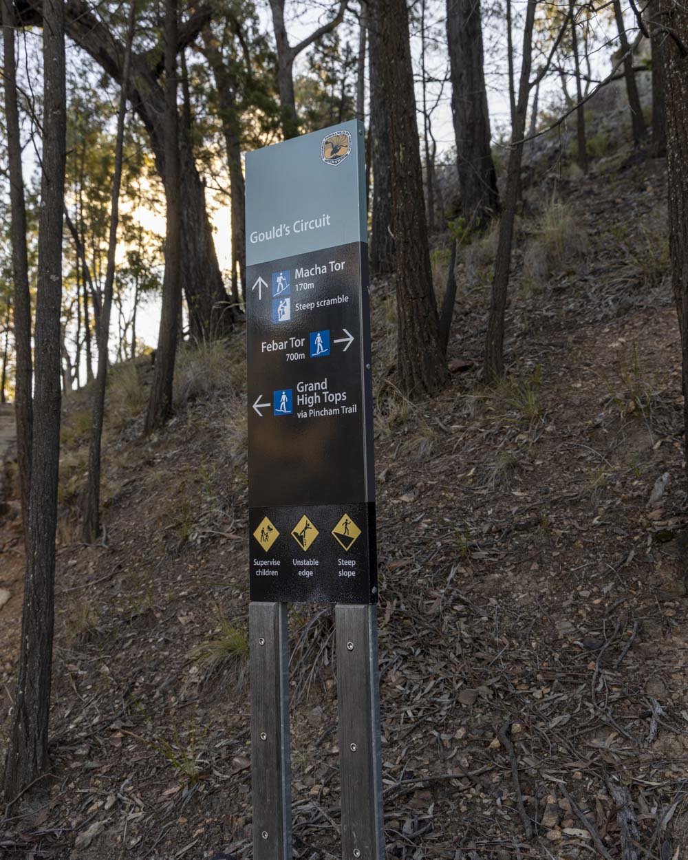
You will have a few more stairs to climb before you reach the gully.
The gully climb is 30m long and a mix of dirt track and rock. It’s quite steep, however, it’s not exposed and while rough underfoot, it’s not really a scramble.
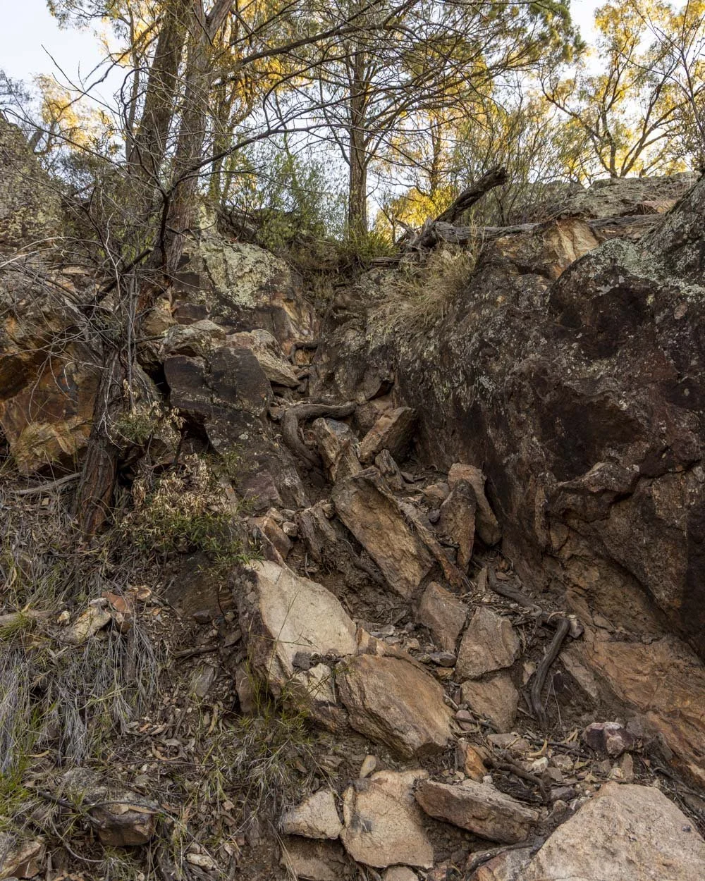
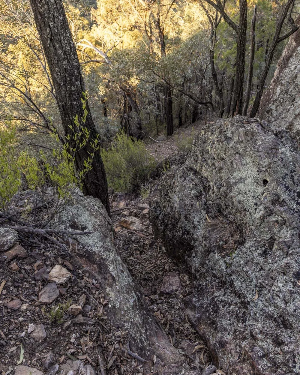
You will then reach a saddle. To your left is the main view at the top of Macha Tor, but before you go there it’s worth heading briefly right.
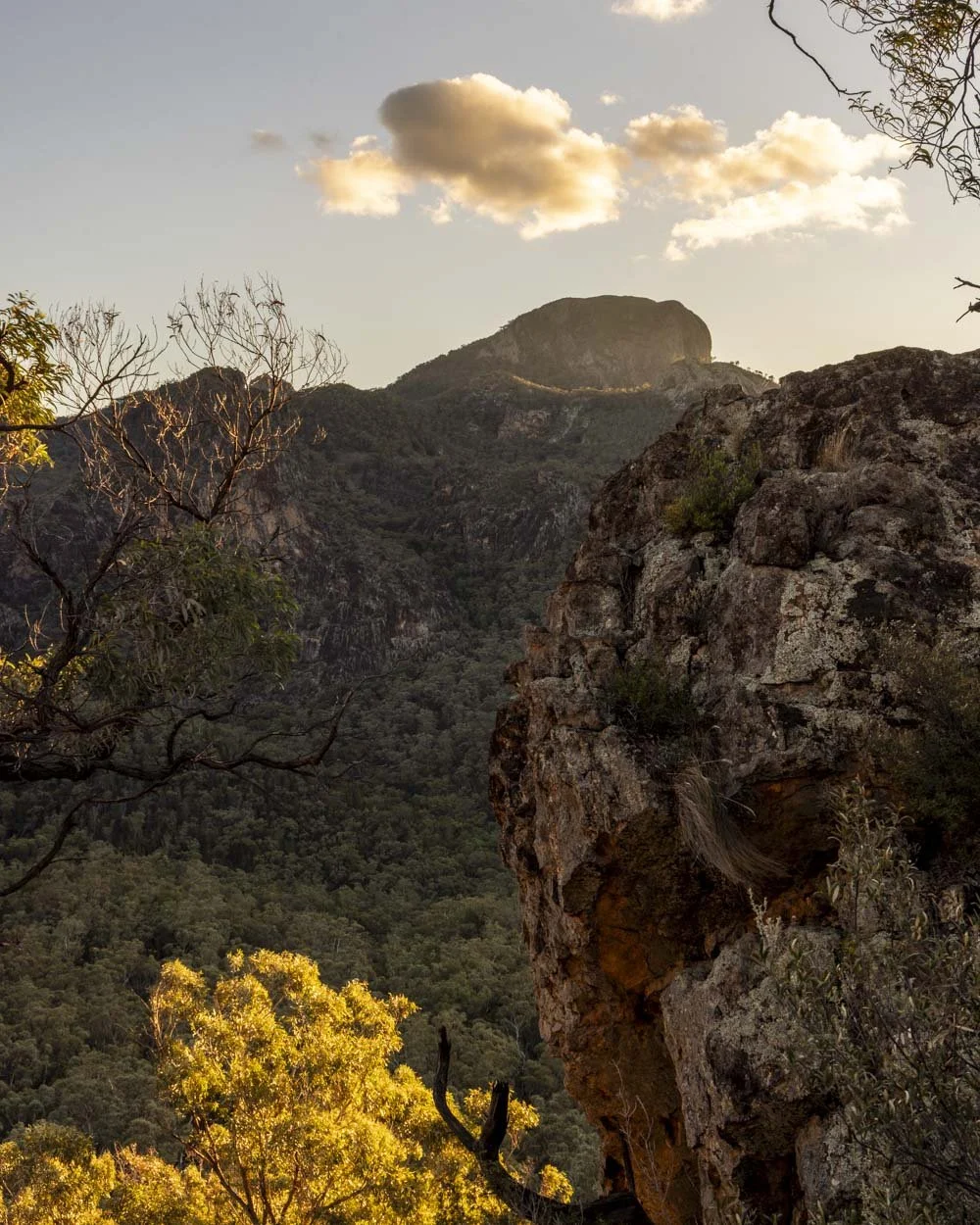
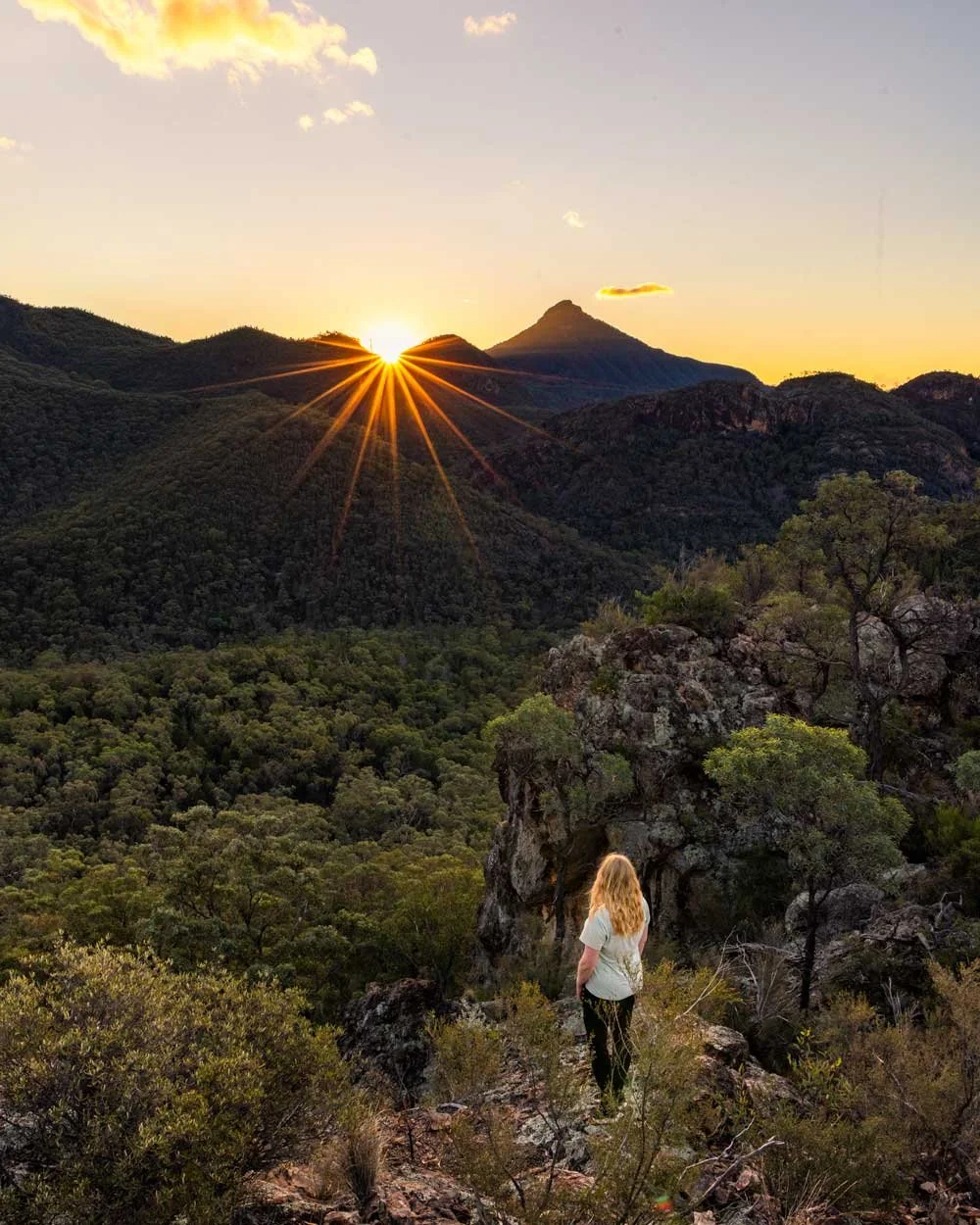
It’s less than a 70m detour to a rock ledge with a gorgeous view of the surrounding mountains. You need to climb up a few rocks to get there, but it’s not difficult.
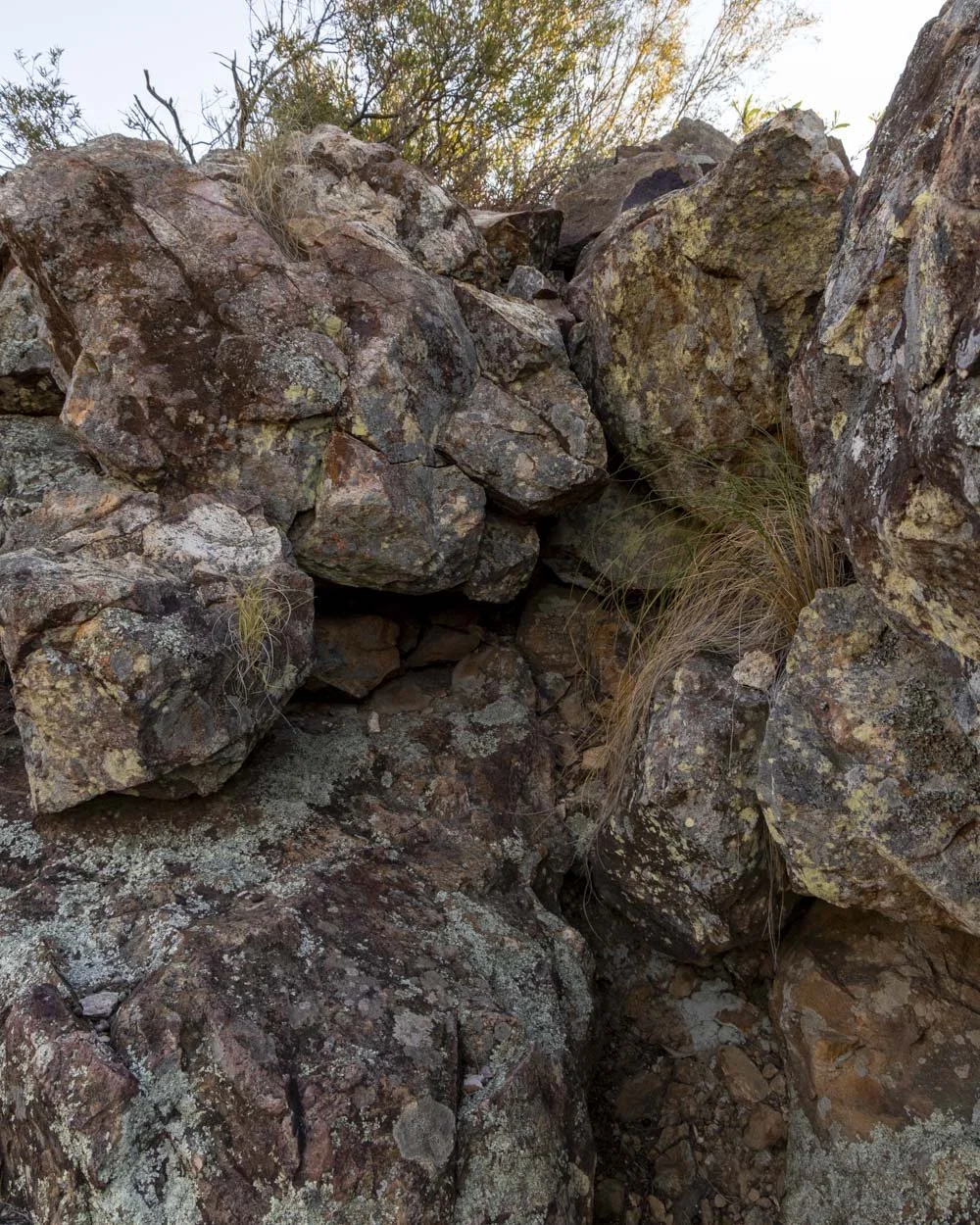
The rock ledge is small so it feels like an intimate view and we were lucky enough to catch a beautiful sun star here just as it was about to drop below the mountain peaks.
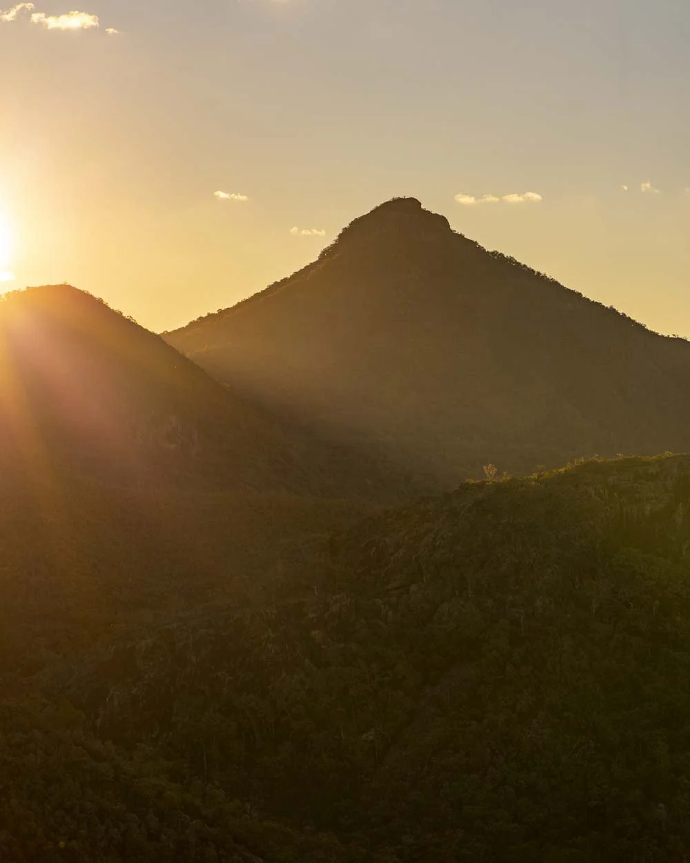
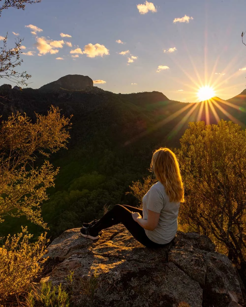
Catching sunset from the top of Macha Tor and completing the circuit
From the saddle, you need to head left and climb the final few metres to reach the top of Macha Tor. You can go straight up the middle of the rock which is the most direct, but also the steepest route. The rock is grippy and has lots of knobs and notches for good footing.
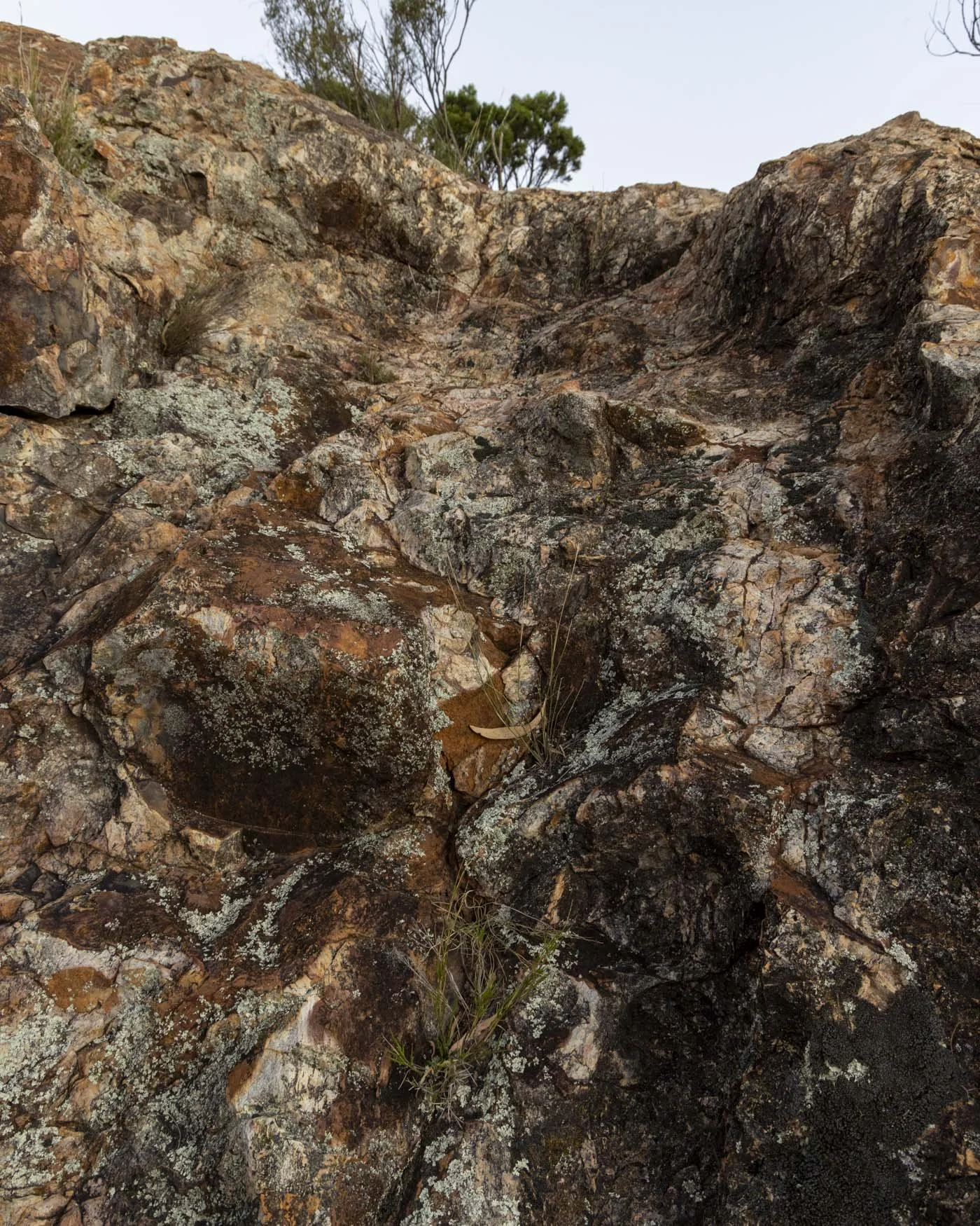
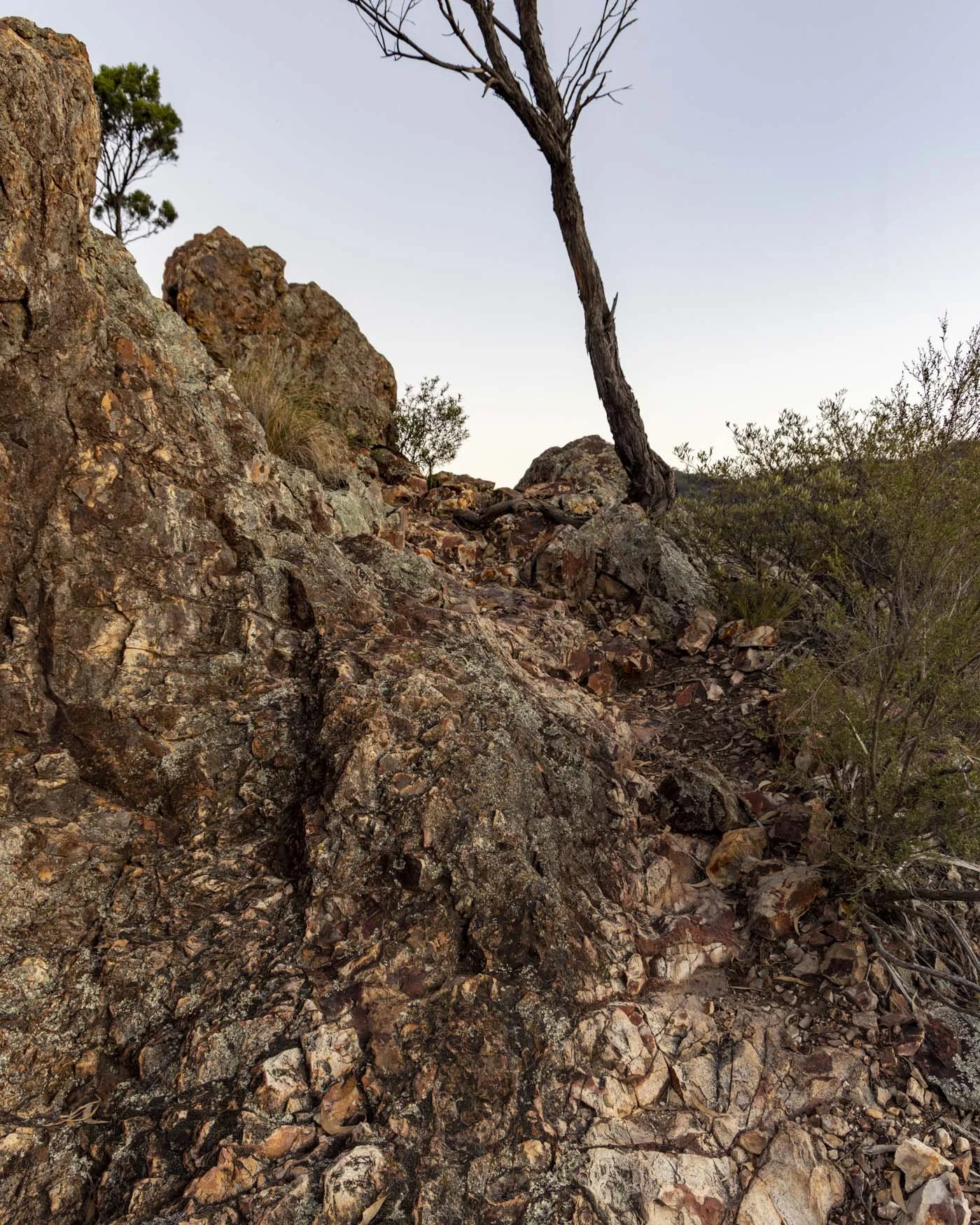
I am not the most confident scrambler by any means and I found it easy, which is evidence enough this is no near vertical scramble!
However, if you don’t like the look of it, you can also take the little social trail to the right which offers a much less steep route up, on a mix of dirt track and rocks.
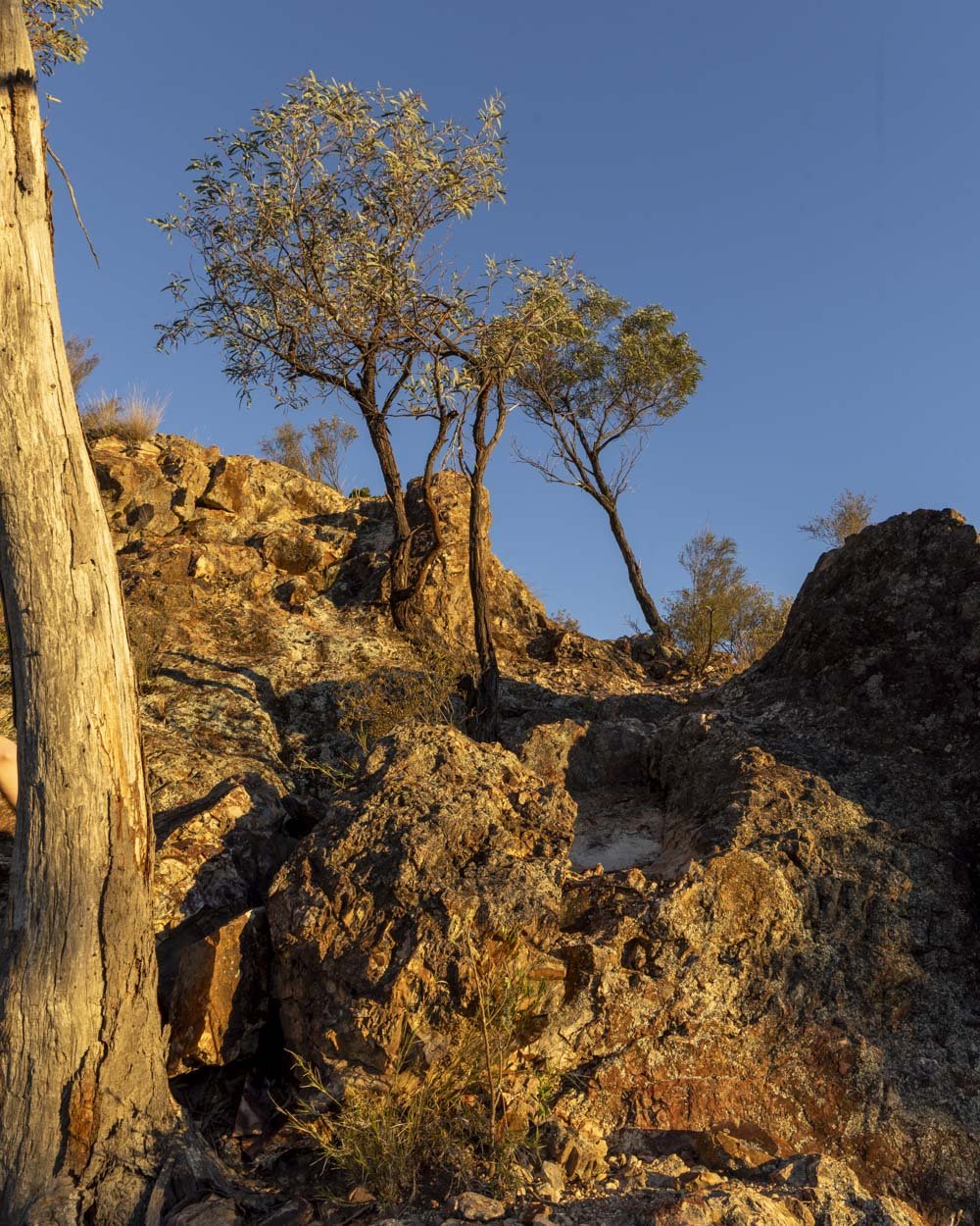
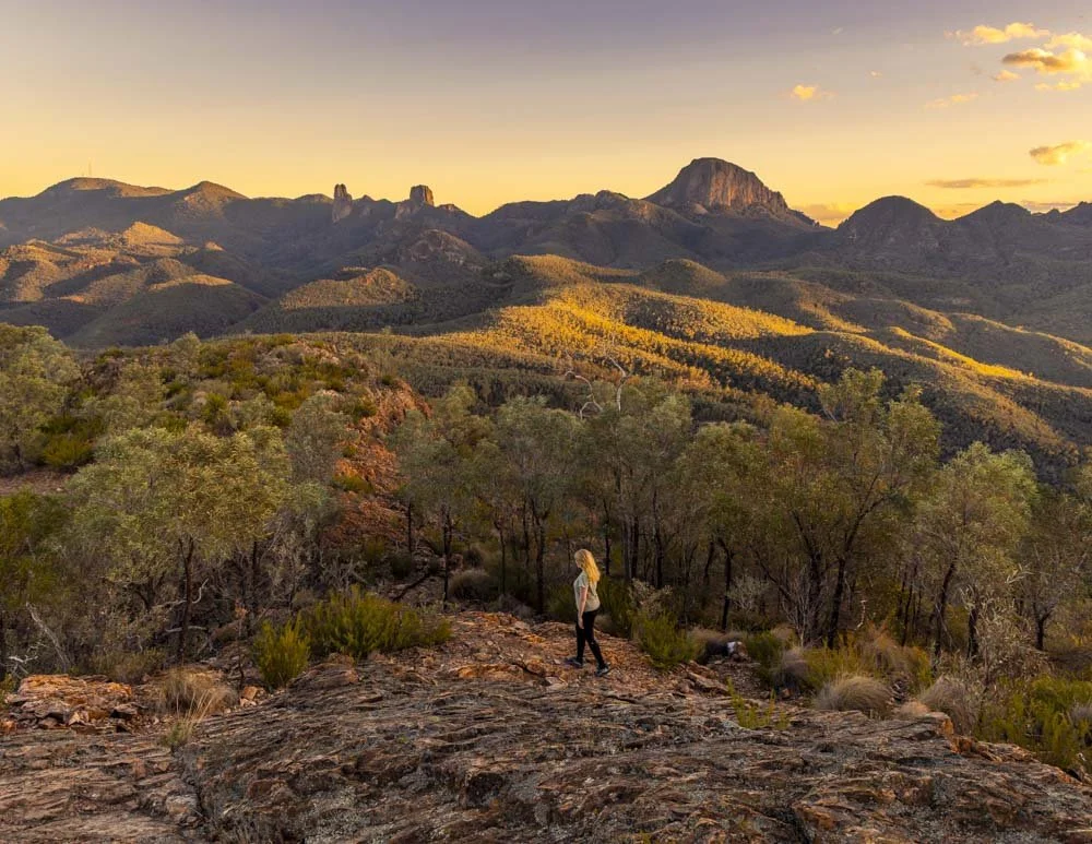
Once you reach the top you will be blown away. I do think it was extra special for us because we had such lovely soft light, but it is an exceptional view either way.
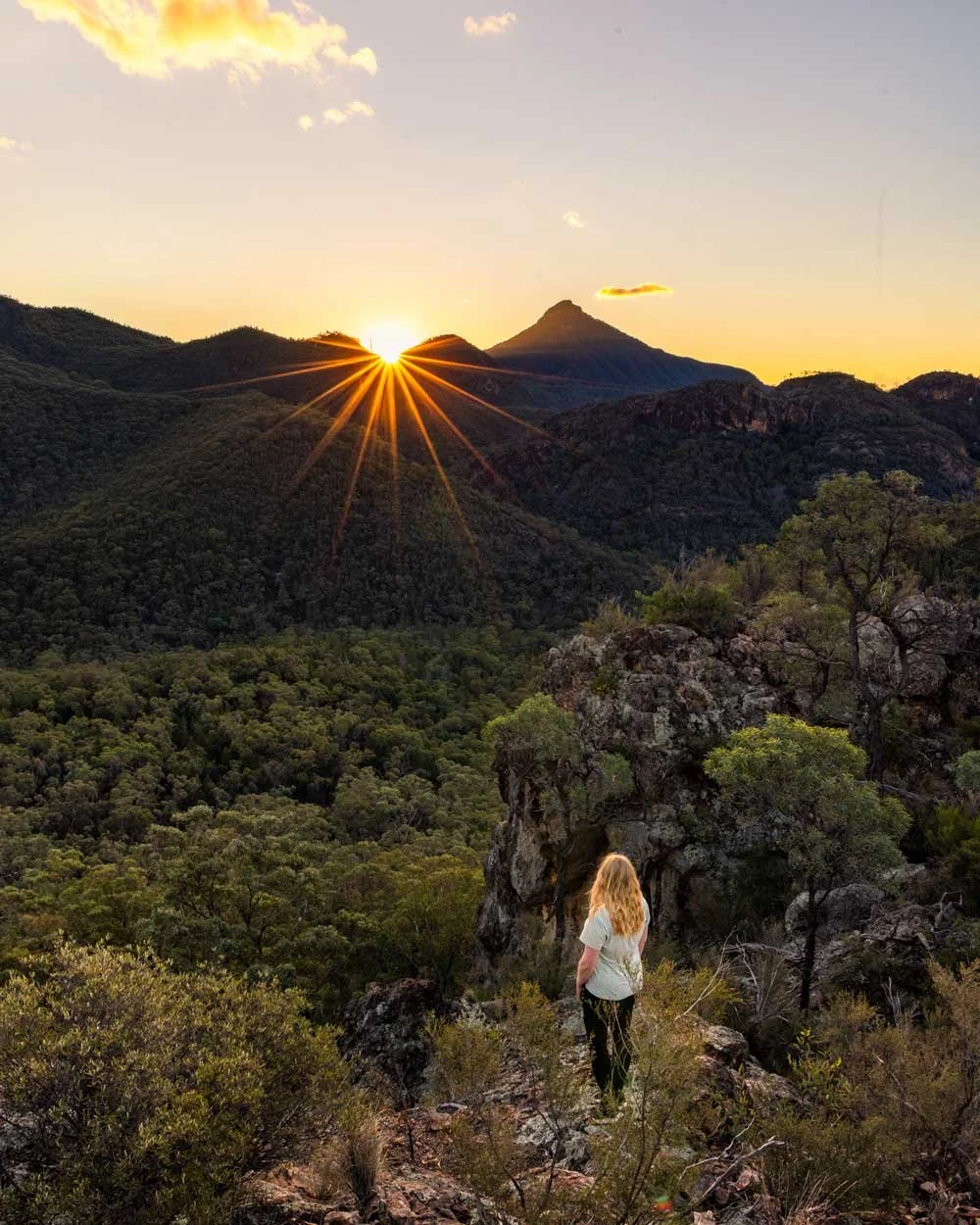
It’s a complete panorama, so much so that it’s hard to know where to look! You can see all the famous peaks of the park as well as an endless sea of mountains and ridge lines.
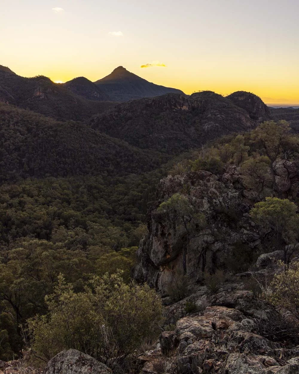
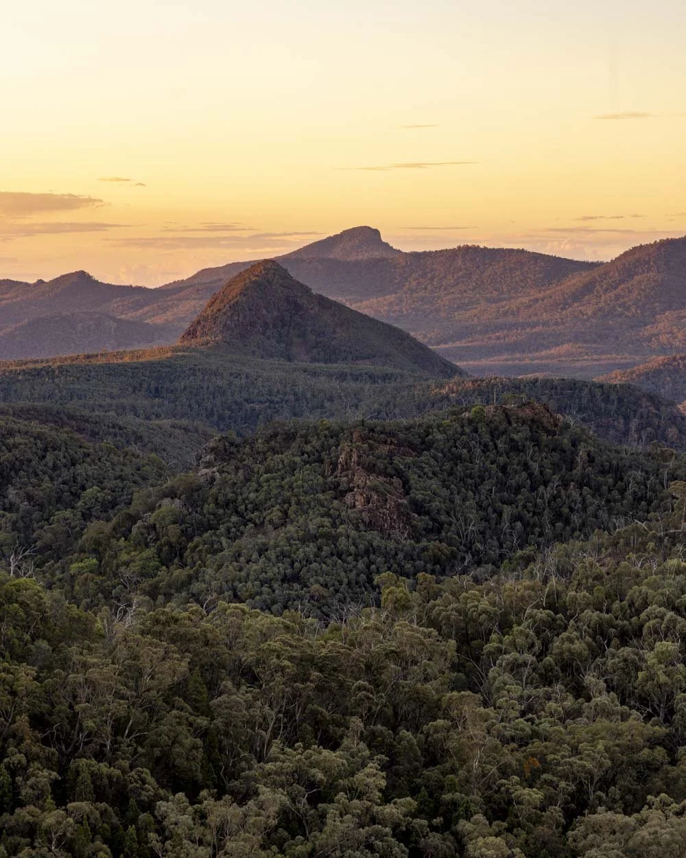
It was so mesmerising that my plan to get off the top before sunset was a distant memory, so we didn’t get any more photos of the trail I am sorry to say!
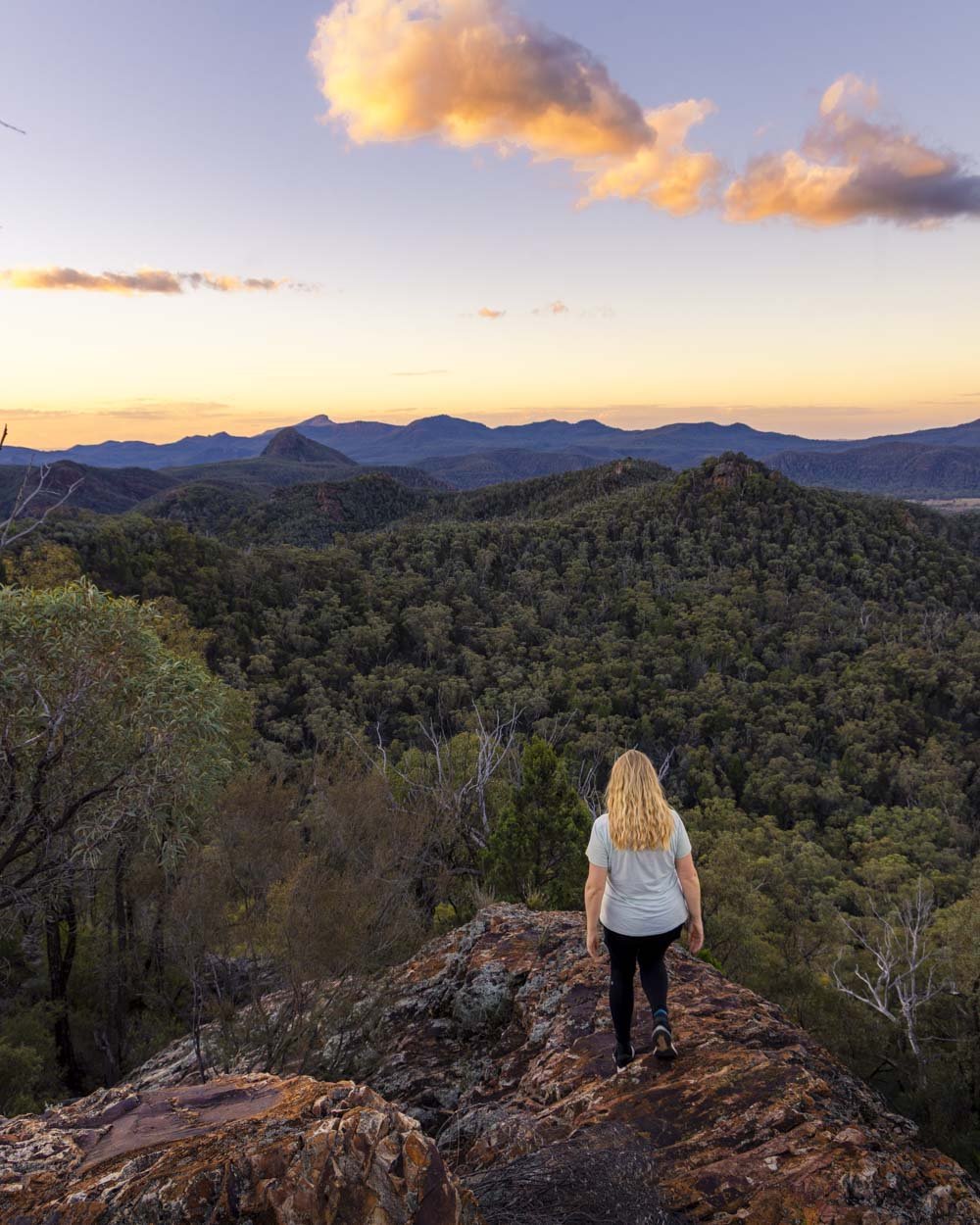
If you’re also considering sunset then you’ll be pleased to know that once you’re off the top of the tor and back at the bench, trail conditions all the way to the car park are quite good.
There are some rocky uneven sections at first but the final 1.75km is very easy walking.
If you’re not keen on rocky conditions in the dark, then aim to do the first 650m after the bench at the Macha Tor junction in the twilight. I wouldn’t say it was too difficult in the dark, but I was happy when the final section was smooth sailing.
If you’ve picked a clear evening you’ll also get to experience one of the most amazing starry night skies in the whole country as the Warrumbungles is part of a Dark Sky Reserve.
From the bench seat you have 50m of stairs downhill before you reach a rougher dirt path, still descending.
Roughly 600m later you will hit flat track for 50m before you finish the descent with a final couple of hundred metres of stairs. The path will then flatten.
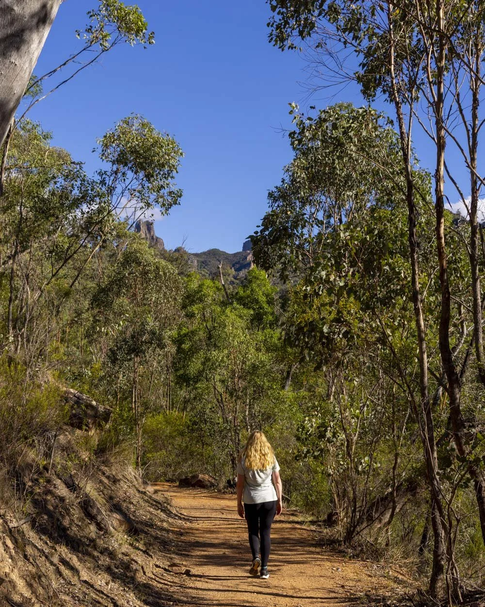
When you reach the junction you need to head right, from here the path is flat or close to, as well as being smooth all the way to the car park, 1.75km away.
Getting to the Goulds Circuit trailhead
The Goulds Circuit Track begins from the Pincham carpark, not far from the visitor centre in the Warrumbungle National Park, you can see the exact location on Google maps here. There are toilets at the car park and the Pincham Campground is also nearby.
If you’re driving from Coonabarabran it takes around 30 minutes.
The Warrumbungle National Park has a daily fee of $8 per vehicle, though if you have an annual NSW National Parks Pass this fee is included.
This post may contain affiliate links, meaning at no additional cost to you, that we will earn a small commission if you click through and decide to make a purchase. This helps towards the costs of running our website. Thanks for your support.
Everything you need to know about the hike to Mount Exmouth, the highest peak in the Warrumbungle National Park. We’re sharing difficulty, trail conditions and details on the side trail to Cathedral Arch.