
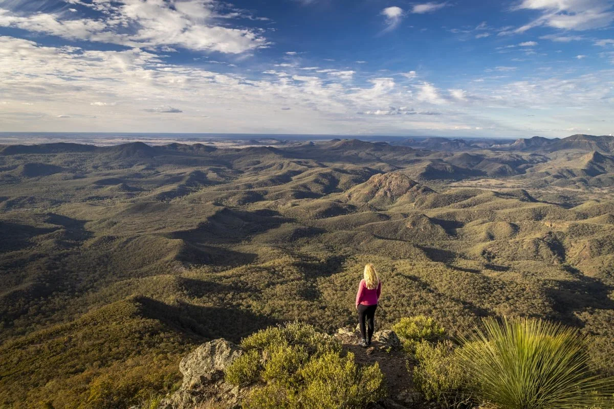
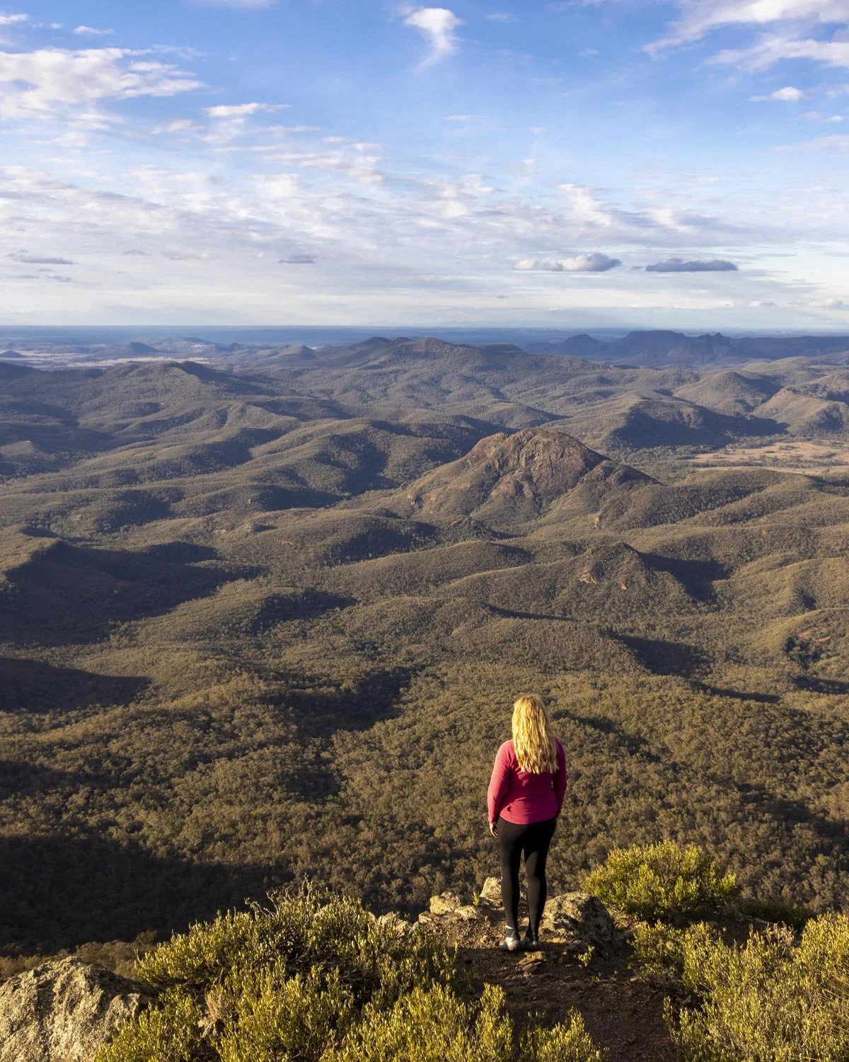
To reach the top of Mount Exmouth is to reach the domain of the eagles and I do mean that quite literally. Eagles swooped and soared around us so close that we could see the outstretched talons and even their beady eyes!
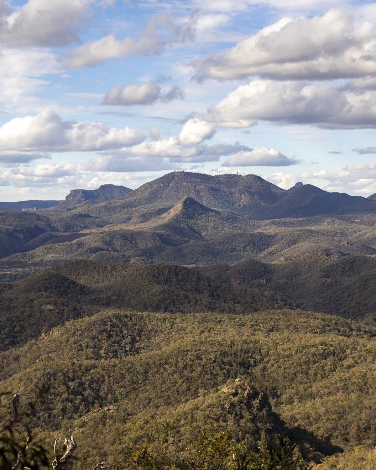
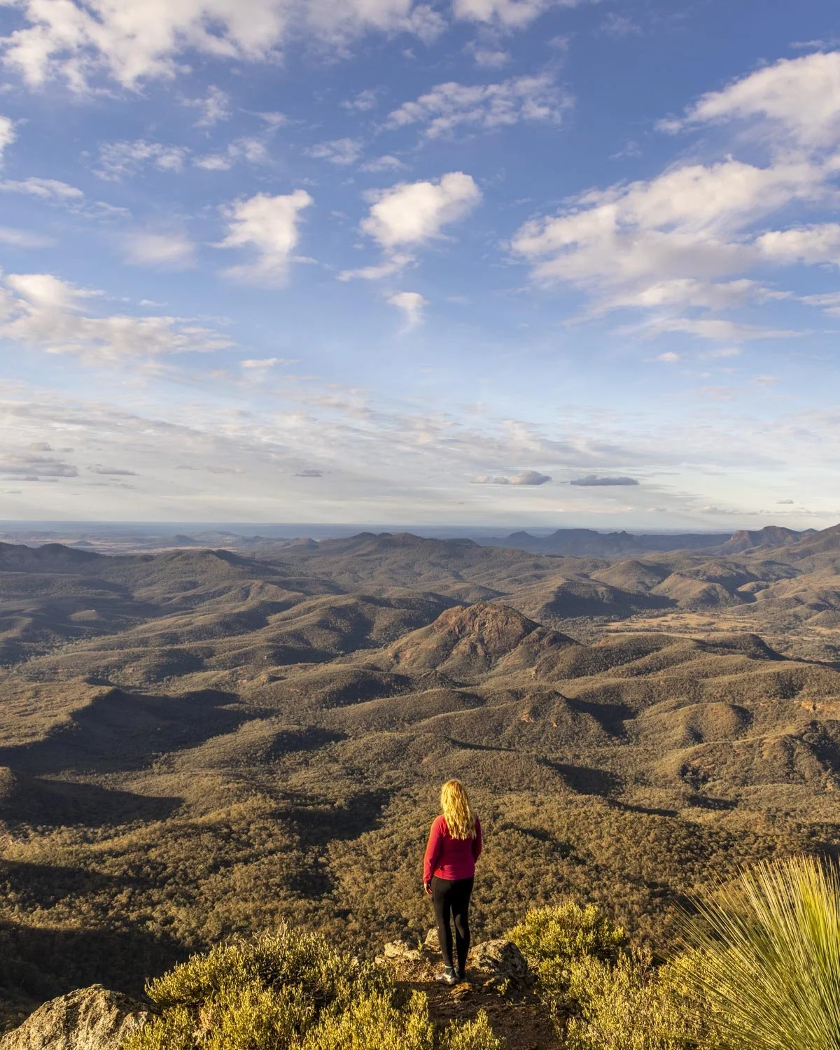
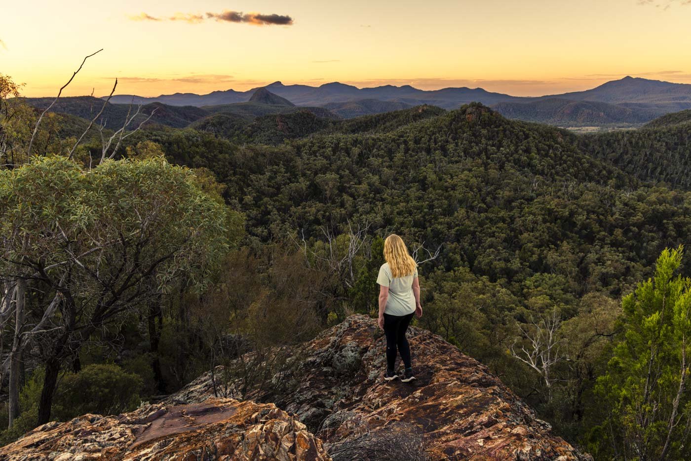
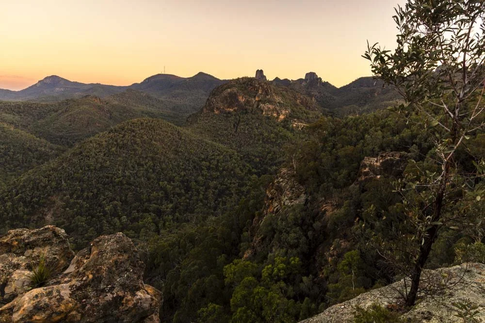
It made an already majestic scene even more dramatic. And I don’t use the word majestic lightly, the views from the top of Mount Exmouth are sublime, with endless peaks and valleys as well as all the icons such as Bluff Mountain and Split Rock.
I had assumed the walk itself would be somewhat unremarkable given we never met a soul who was planning to do it! We took the last parking space in the car park on a glorious day in May and the only two people we saw all day were at the junction with the Breadknife Track, it was staggering!
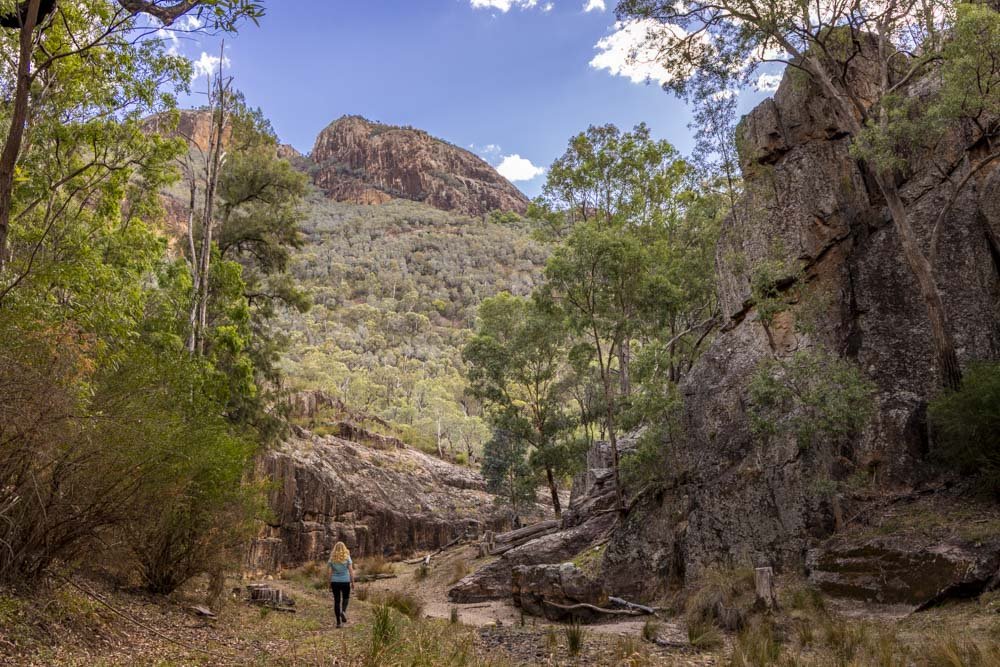
In reality the walk was thoroughly enjoyable, with plenty of views along the higher reaches, as well as the chance to visit Cathedral Arch.
The terrain is also good, so though the walk is long and has a hefty elevation gain, it’s not technical in any way. I will admit to being very out of shape when we did it, a fact my calves reminded me of for three days following the walk, but the excellent paths meant it didn’t feel too difficult - you just have to keep on plodding up! And after all, a decent climb feels fitting considering you are reaching the highest point in the Warrumbungles!
Here’s what to expect on the trail.
The Mount Exmouth Walk
The stats
Distance: 18.4km return
Elevation gain: 1,000m
Difficulty: Moderate - hard due to distance
Trailhead: Camp Pincham Car Park
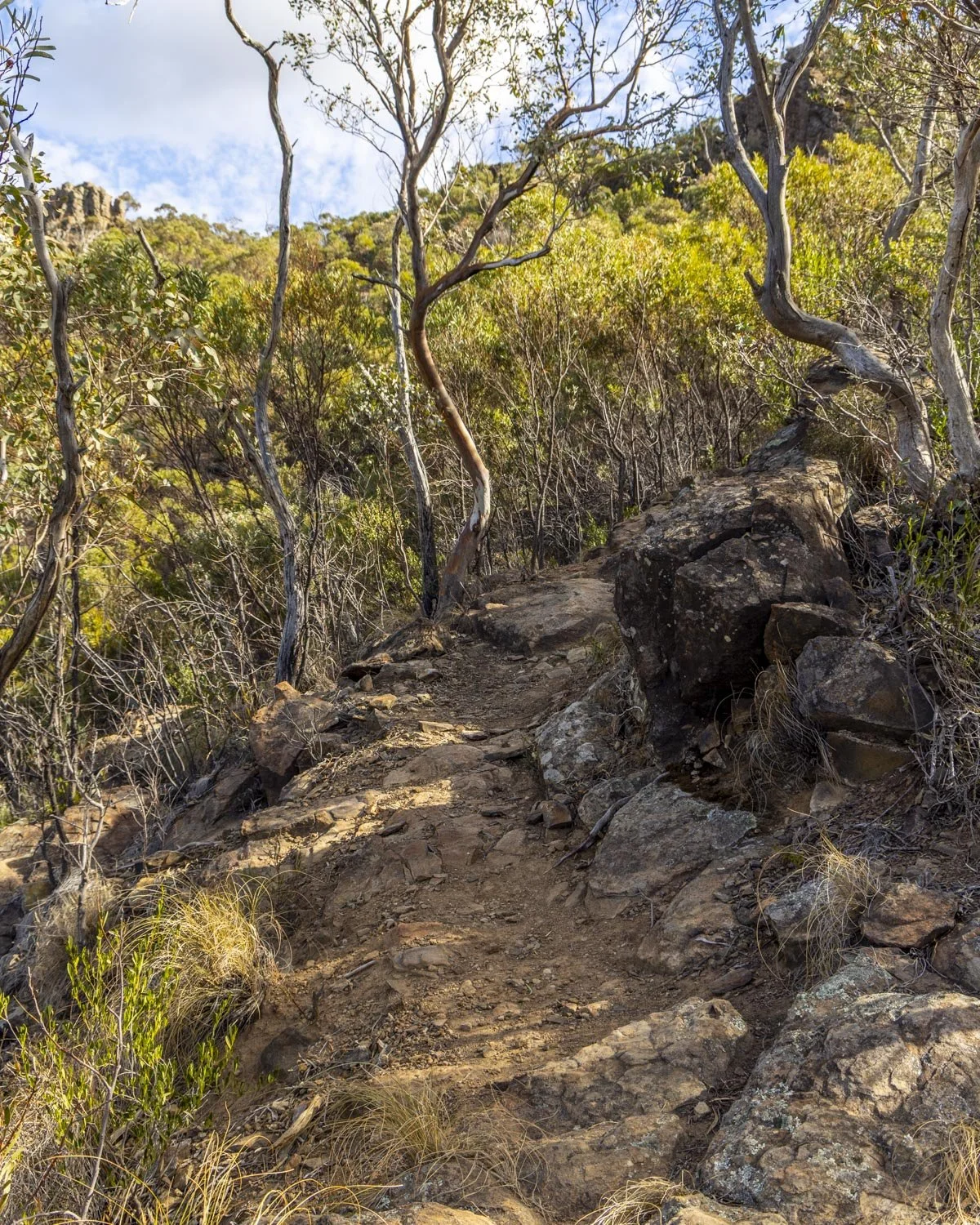
Summary: Generally speaking the paths all the way to the top of Mount Exmouth are in pretty good shape. There are a couple of rubbly sections but they are flat so it’s not difficult - were the rubble to be part of an ascent or descent it would be more difficult.
The track is a mix of sandstone steps, dirt track and some minor rocky sections. The climb is almost always sloping rather than straight up and there are a fair number of long flat stretches too.
I would say I found the first 7ish kilometres quite easy and was feeling happy about that, but then started flagging a bit on the final 2.1km to the top.
As the gradient is usually gentle you don’t get too out of breath, but if you’re like me and not feeling fit then your legs will definitely complain the next day. Or two. Or three.
Despite the fact I wasn’t feeling in good shape on the climb it was still thoroughly enjoyable which isn’t how I always feel when going uphill, so that’s probably testament to how stunning the Warrumbungles are!
It’s worth noting that there is a slightly shorter route to the top of Mount Exmouth, but it’s along fire trail up until the last 2.1km. This is the track via Burbie Canyon but won’t include Cathedral Arch unless you make a big detour.
Starting the trail: through the bush to Ogma Camp
Distance: 4.2km
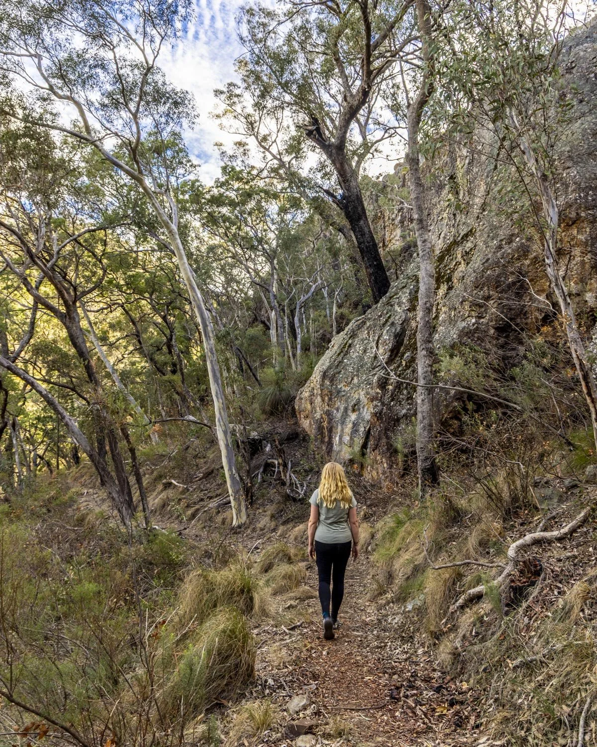
From the Pincham car park you’ll initially follow the same trail as for the Breadknife. It’s either paved or a very good gravel path which leads relatively gently uphill.
The early part of the walk doesn’t have much in the way of views with it mainly being in the bush, but it’s pleasant nonetheless.
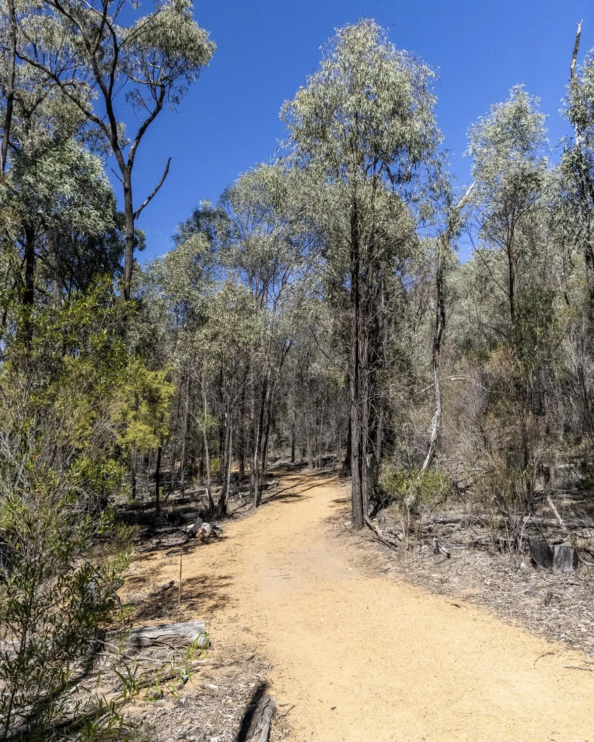
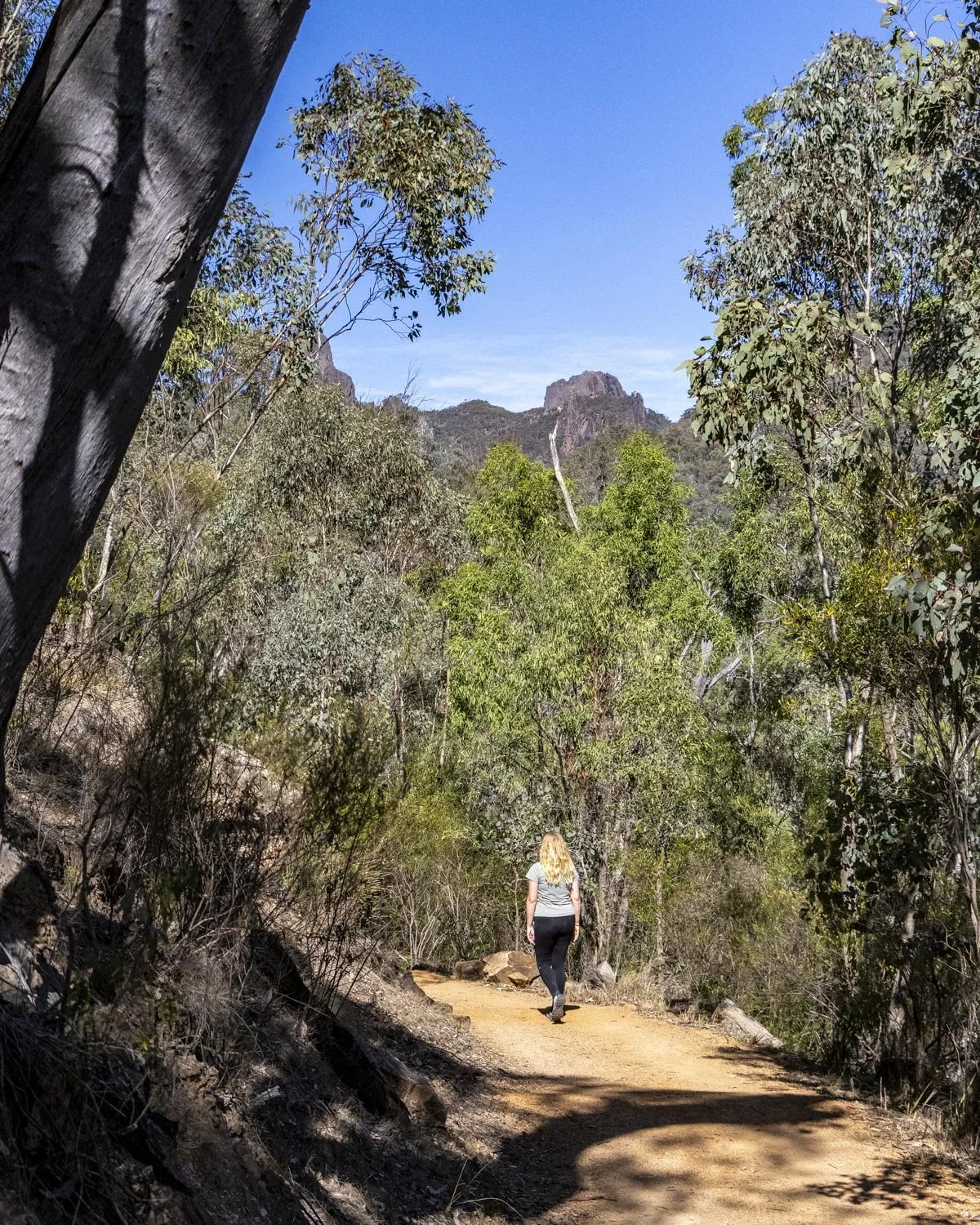
At the 1.2km mark you’ll come to a junction and head right, along the West Spirey Creek Trail. The track is now either flat or ever so gently uphill for a gratifying long time, you really feel like you’re getting some kilometres done with little to no effort.
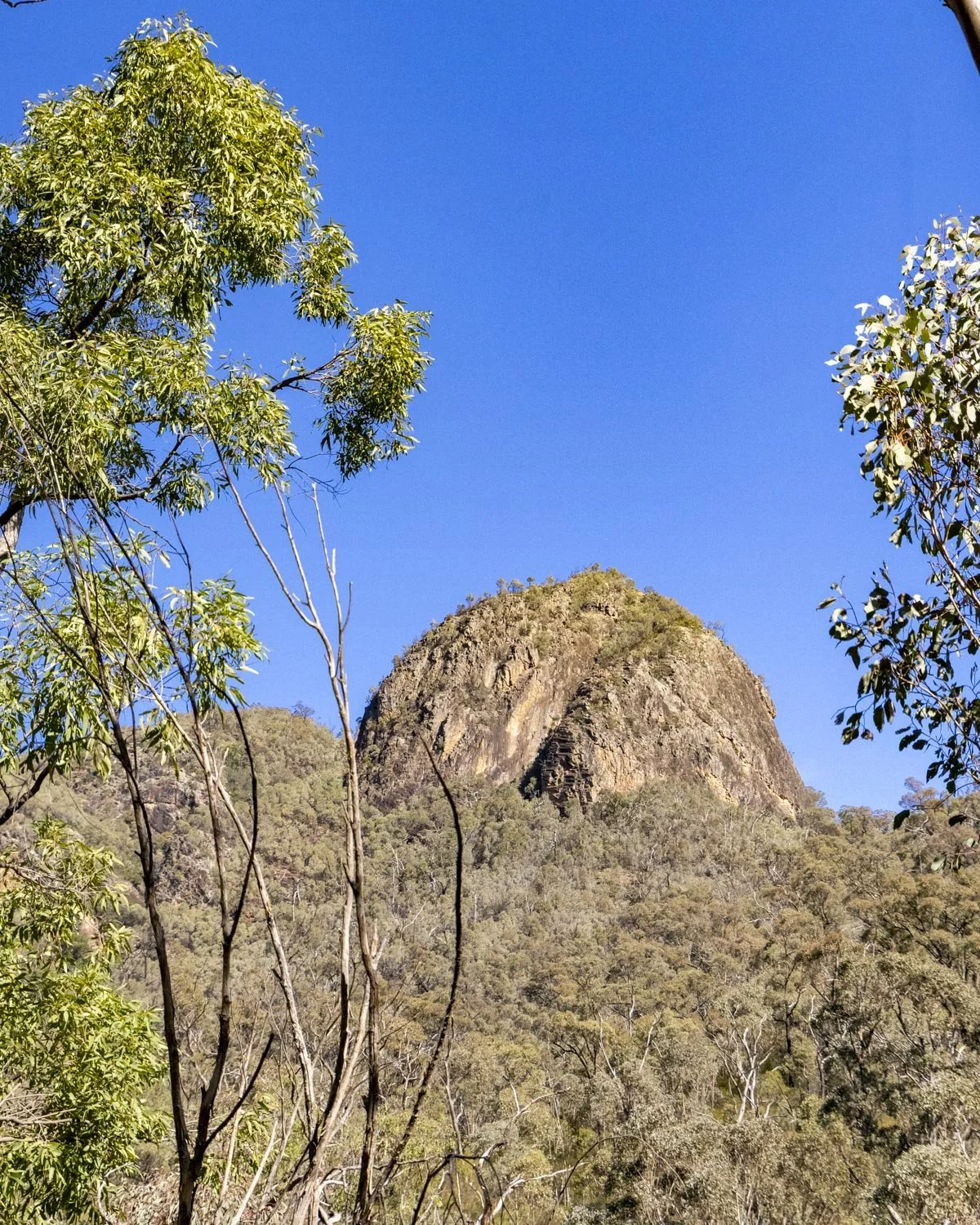
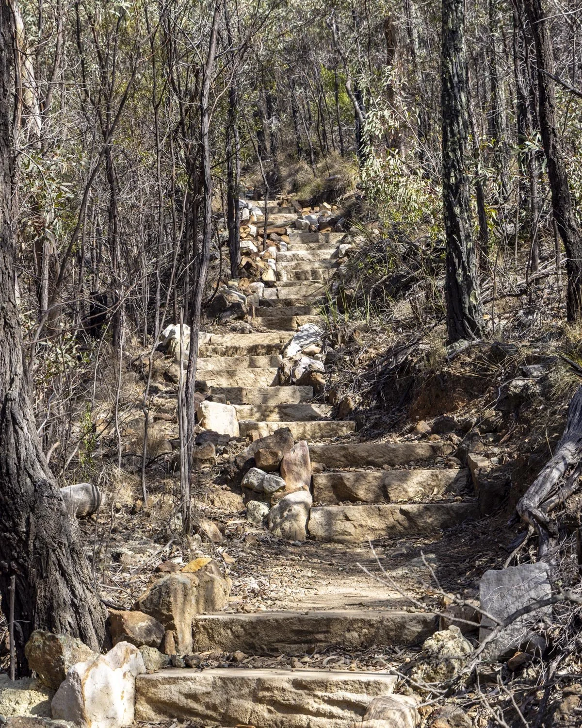
This lasted for around 3km and then you’ll start to climb. The path is mainly sandstone steps at this point, making the terrain easy, if not the gradient!
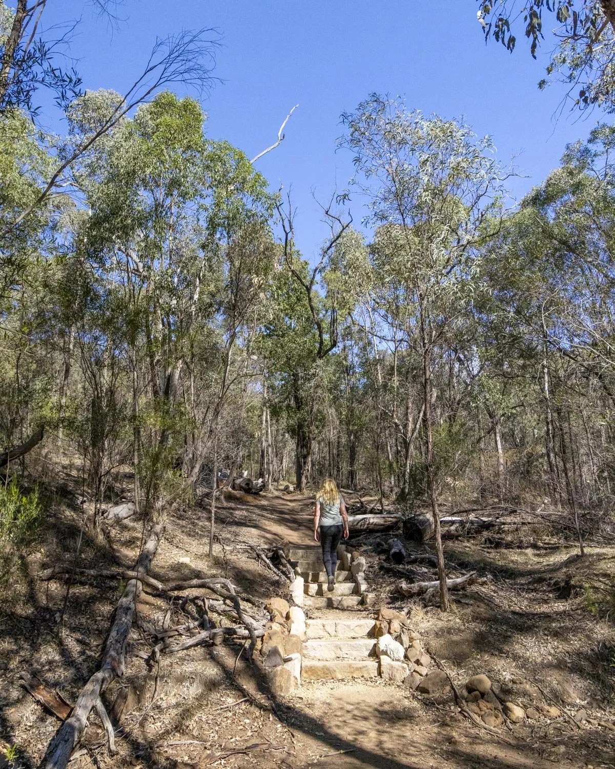
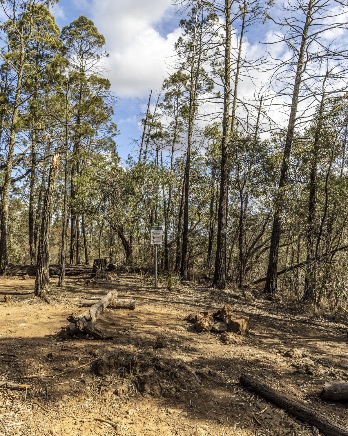
This noticeably uphill section lasts for 1.2km at which point you’ll reach Ogma Camp. It’s not much more than some planks of wood to sit on, but would suit if you’re doing a long multi day walk, or you want to spend a night in a more remote location.
To Cathedral Arch
Distance: 1.7km
Ogma Camp is at the junction with the Breadknife Track and the only time we encountered another person all day! The signpost here says you have 4.1km to the top of Mount Exmouth, but that’s not including the very worthwhile side trip to Cathedral Arch.
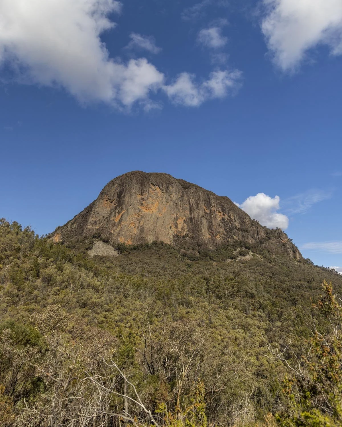
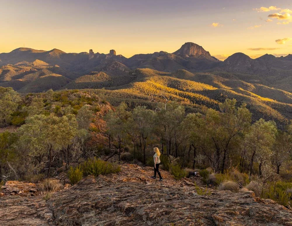
You’ll head right at the junction and begin walking on a gorgeous flat track with some seriously amazing views of Bluff Mountain and a couple of other cool rock formations. You’ll follow a cliff line which has some fun hidey holes for kids at the 4.6km mark.
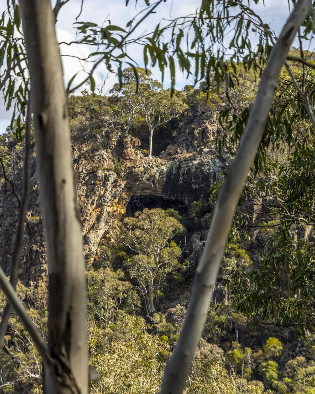
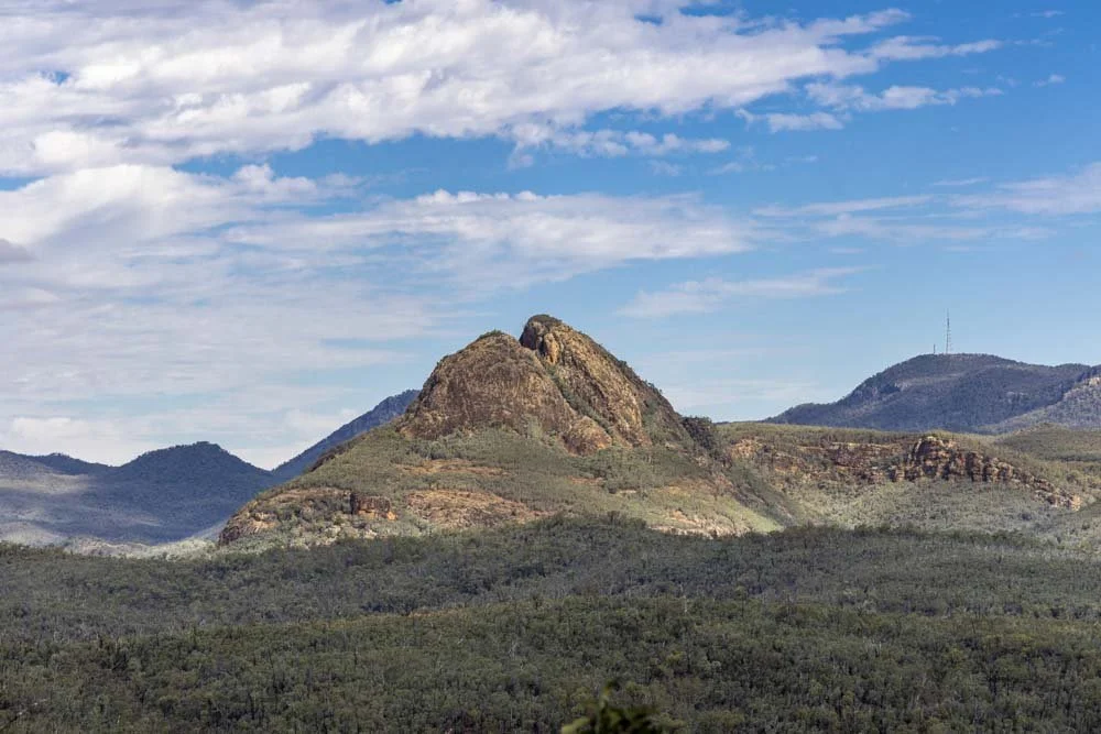
From here there is a small amount of uphill track before it flattens again and at the 5km mark you can see Cathedral Arch on the other side of the valley.
This is a really great view and if you have a zoom lens, offers possibly the best angle for photos (we didn’t have our zoom lens with us hence the very distant view!).
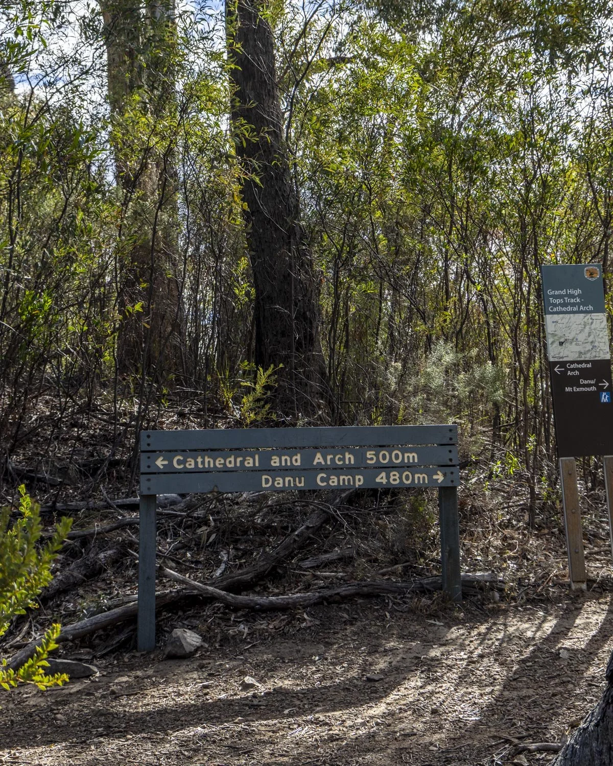
Roughly 300m later you’ll reach a signposted junction. Heading left will take you to the arch, while right will take you to Mount Exmouth.
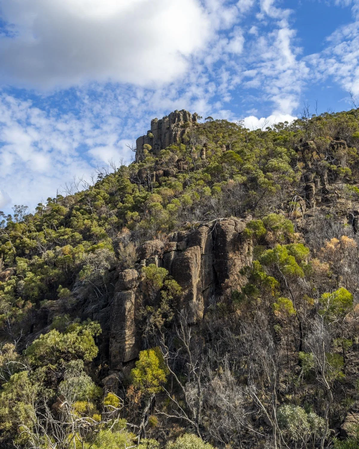
Alas the track to the arch does have some elevation gain but it’s so worth it. The path is rocky in places and then you’ll reach a rock slab after 200m.
Walking up and along the slab is nice and grippy when dry. This is when you’ll get some tremendous views of Bluff Mountain amongst many other peaks, easily the best of the trail minus the summit itself. You’ll also pass some hoodoos which was fun!
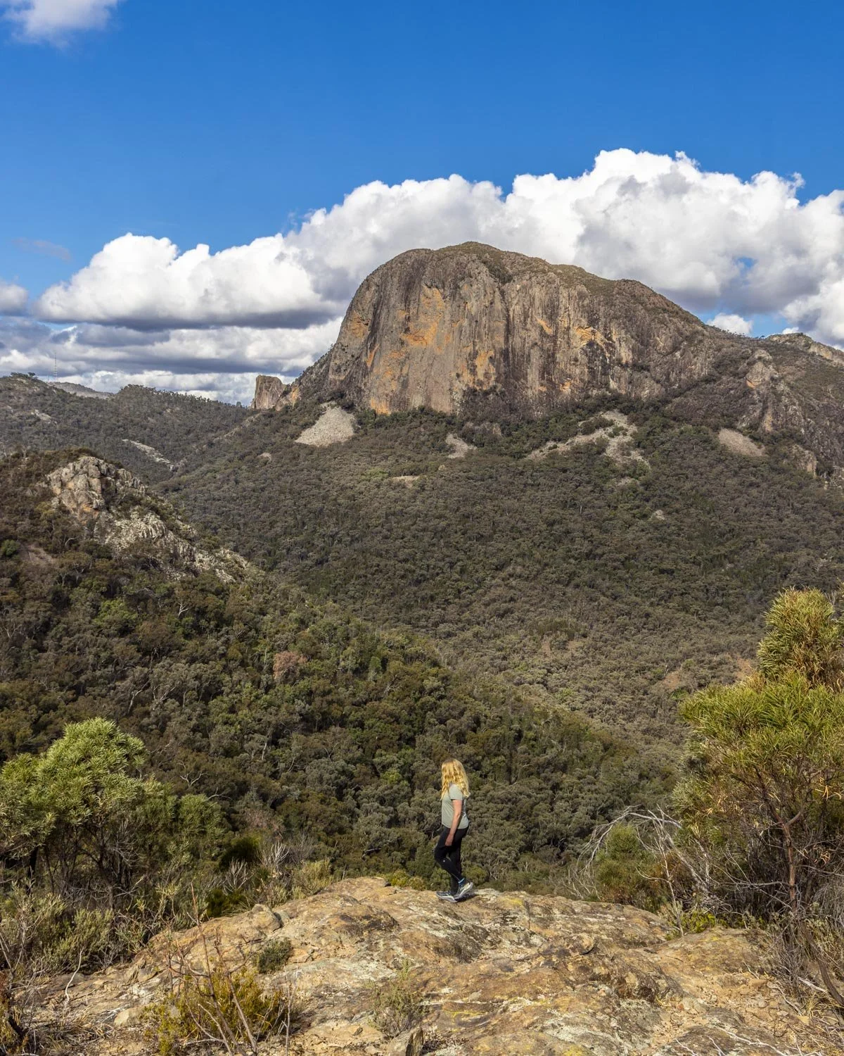
The final couple of hundred metres to the arch is downhill, with the last 100m being a touch steep, but not difficult terrain-wise.
You’ll reach the arch 5.9km into the track and at this point you have completed half the elevation gain required to get to the summit of Mount Exmouth.
Cathedral Arch
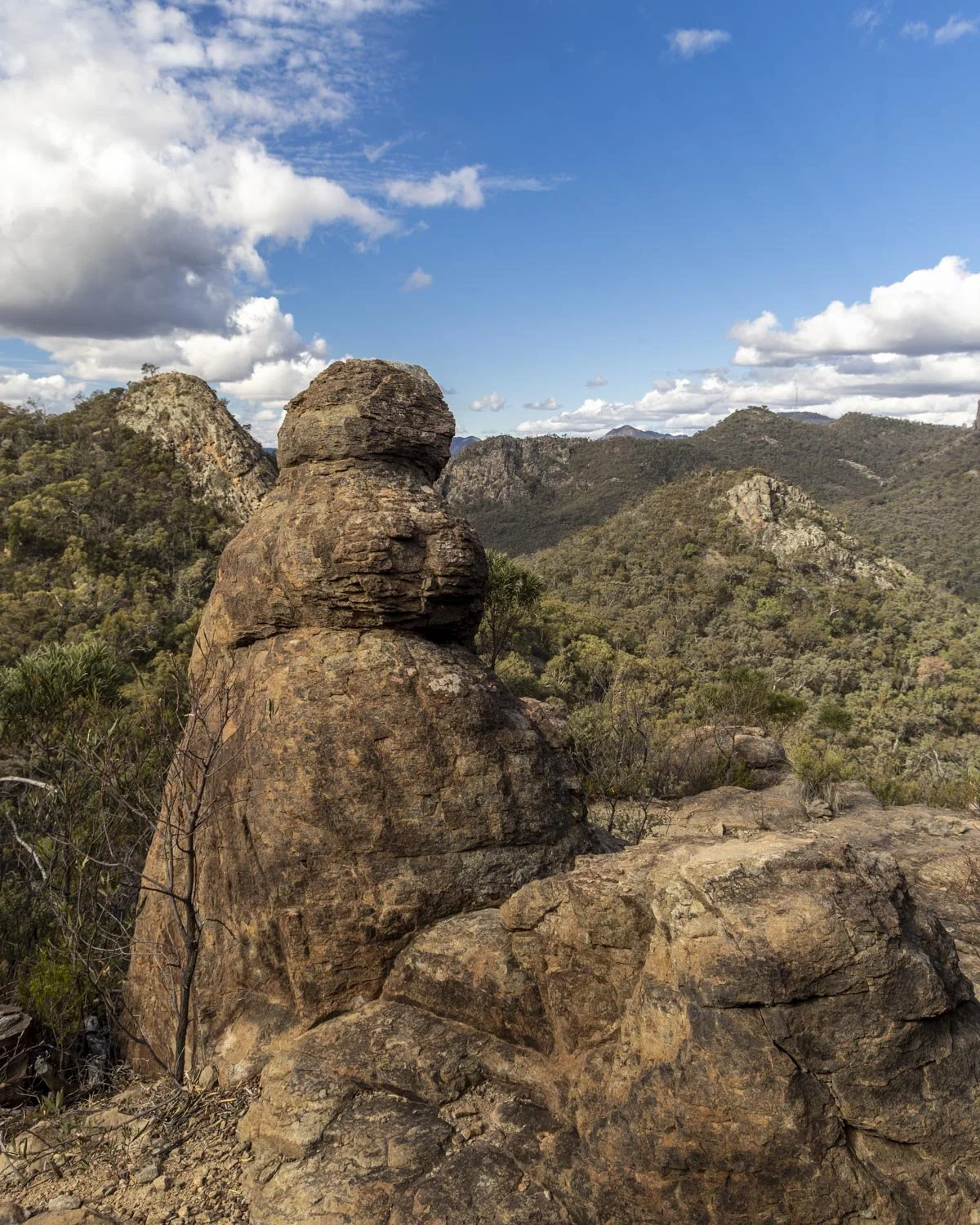
Cathedral Arch is a fab rock formation, made more interesting by the fact a gorgeous white gum tree grows on top of it.
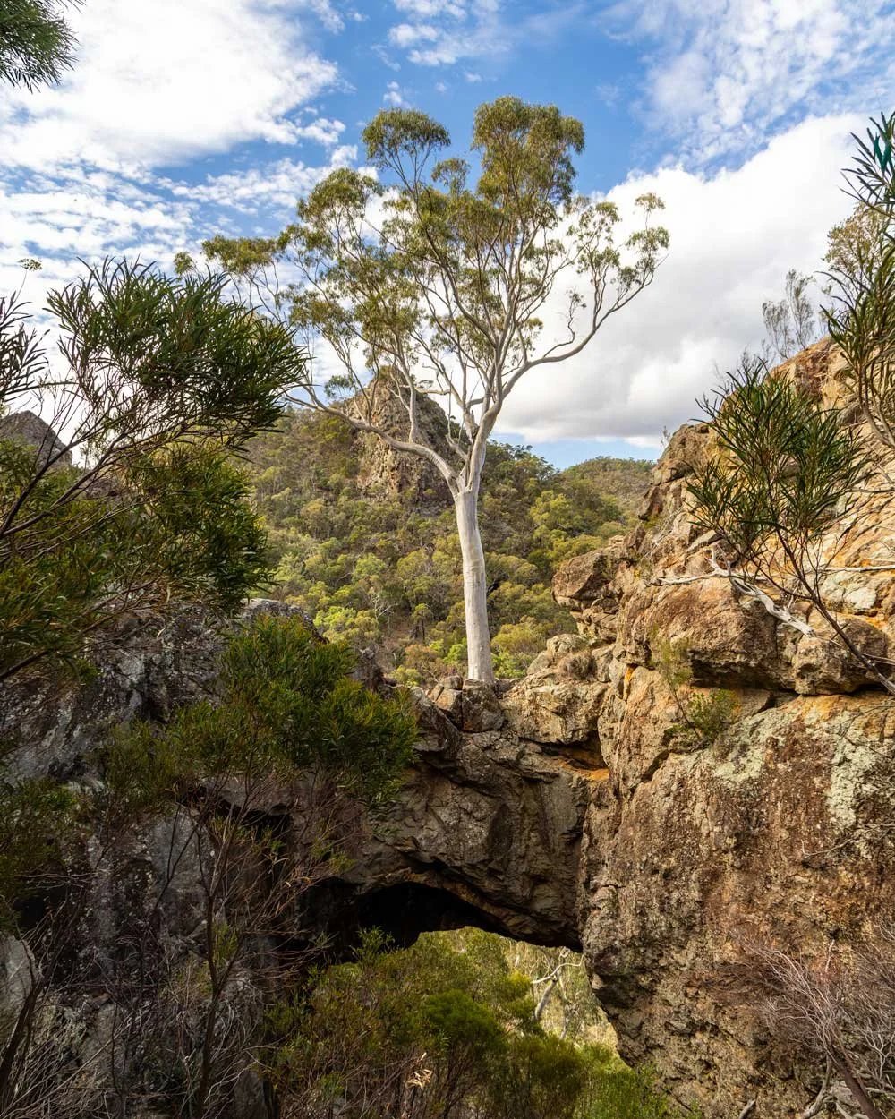
While I think you see the arch itself better from the track looking across the valley, it’s this close up viewpoint that allows you to see the tree properly. There’s a touch of loose soil around the viewing area, but only a couple of steps and only if you want to get very close.
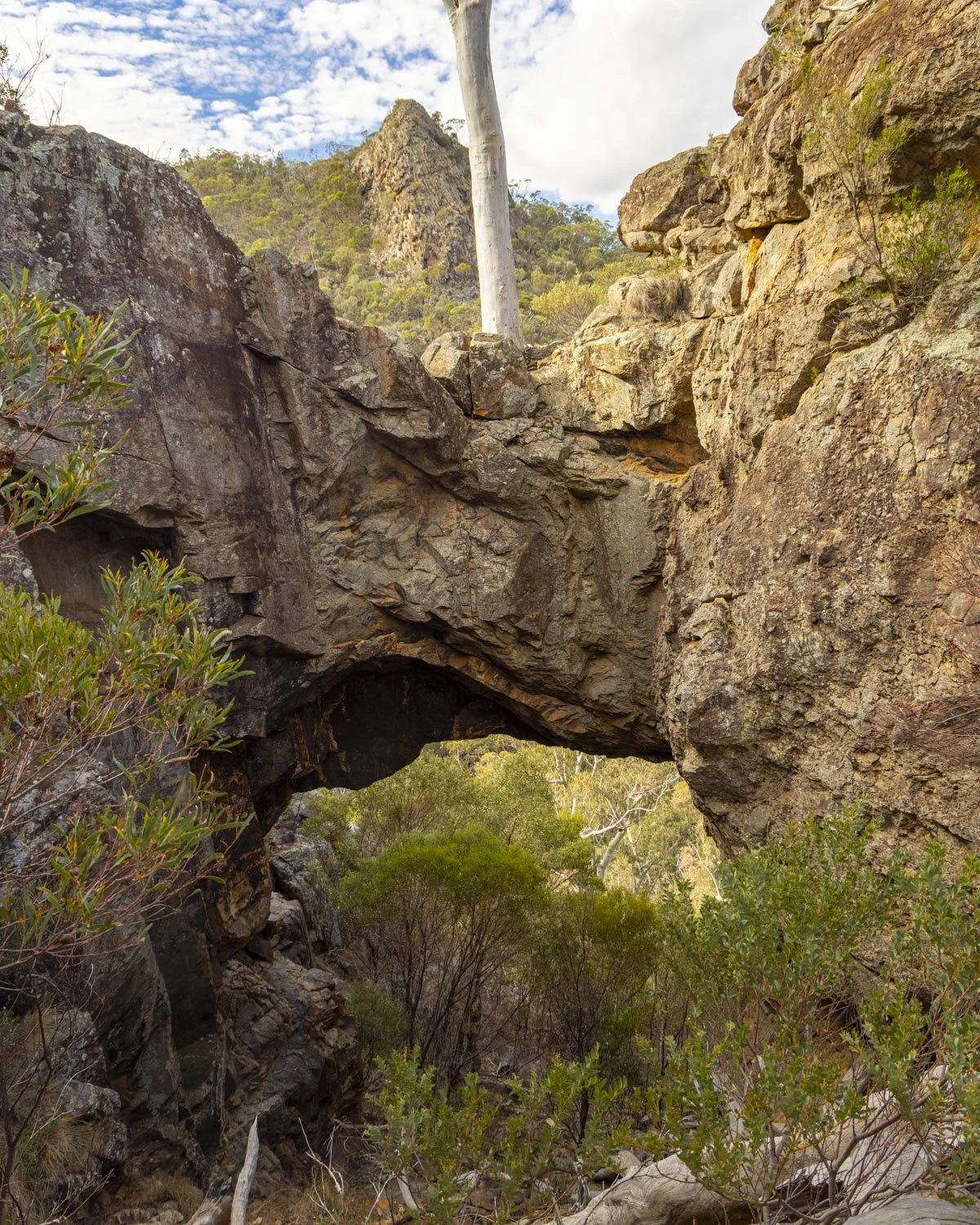
It’s a nice spot to stop and have a break and some lunch before continuing onto the summit which is 3.8km away.
To Danu Camp
Distance: 1km
From Cathedral Arch you head back to the junction and then follow the signposted path leading to Mount Exmouth. You’ll almost immediately come to the rubble traverse. Luckily this path is flat and footing is quite good, with a defined trail along the rocks.
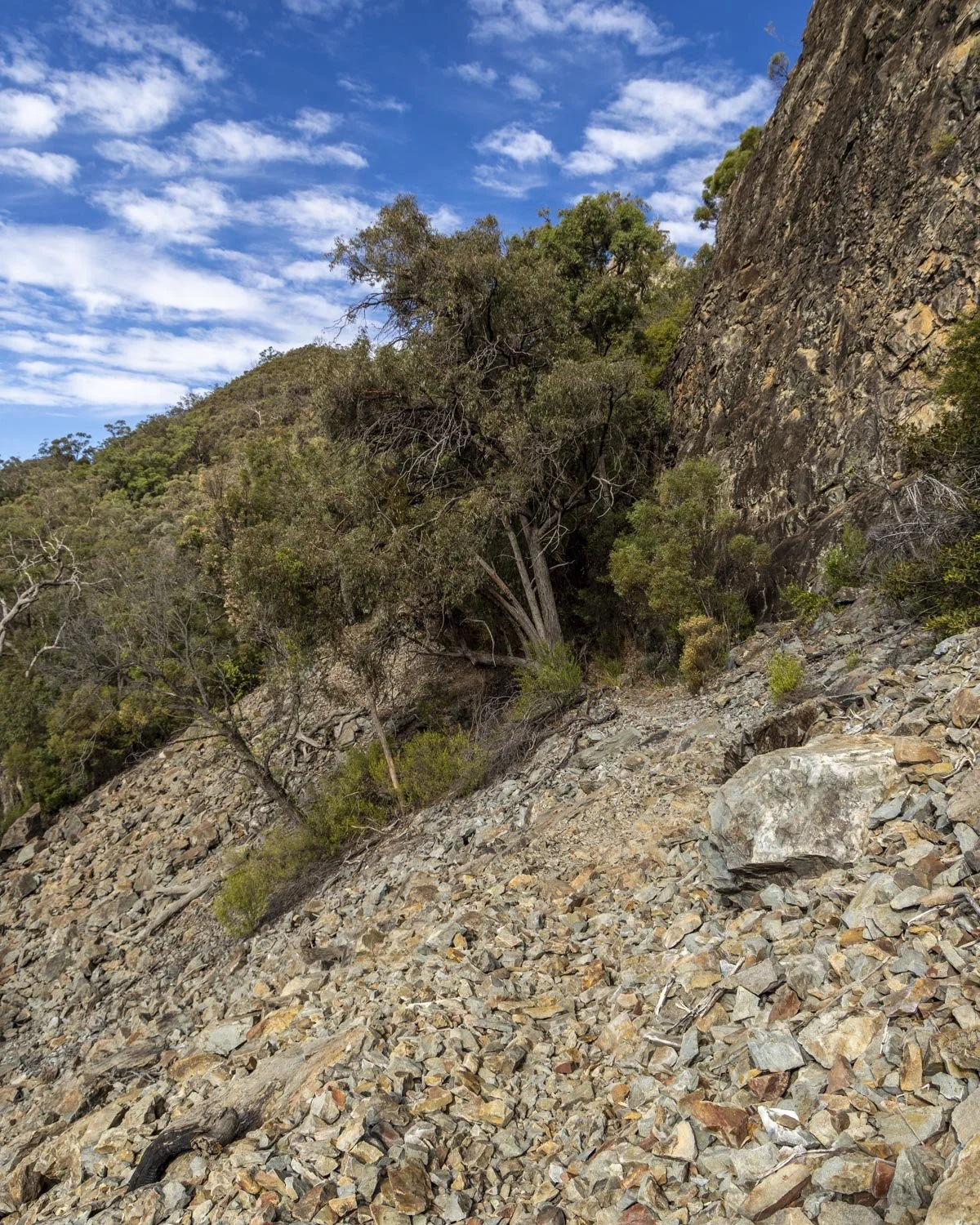
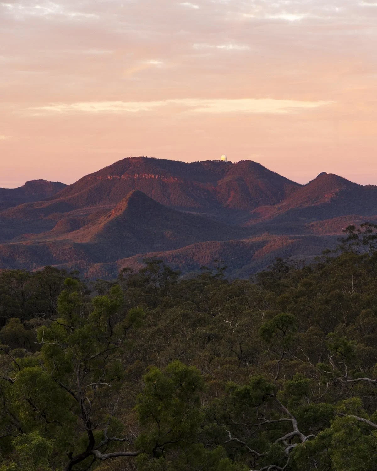
Were this to be an ascent or descent route I would find the terrain difficult, but as it’s flat it’s easy. The views are also fantastic and very distracting, so we stopped often to take it all in, especially on the way back when we were treated to a spectacular sunset.
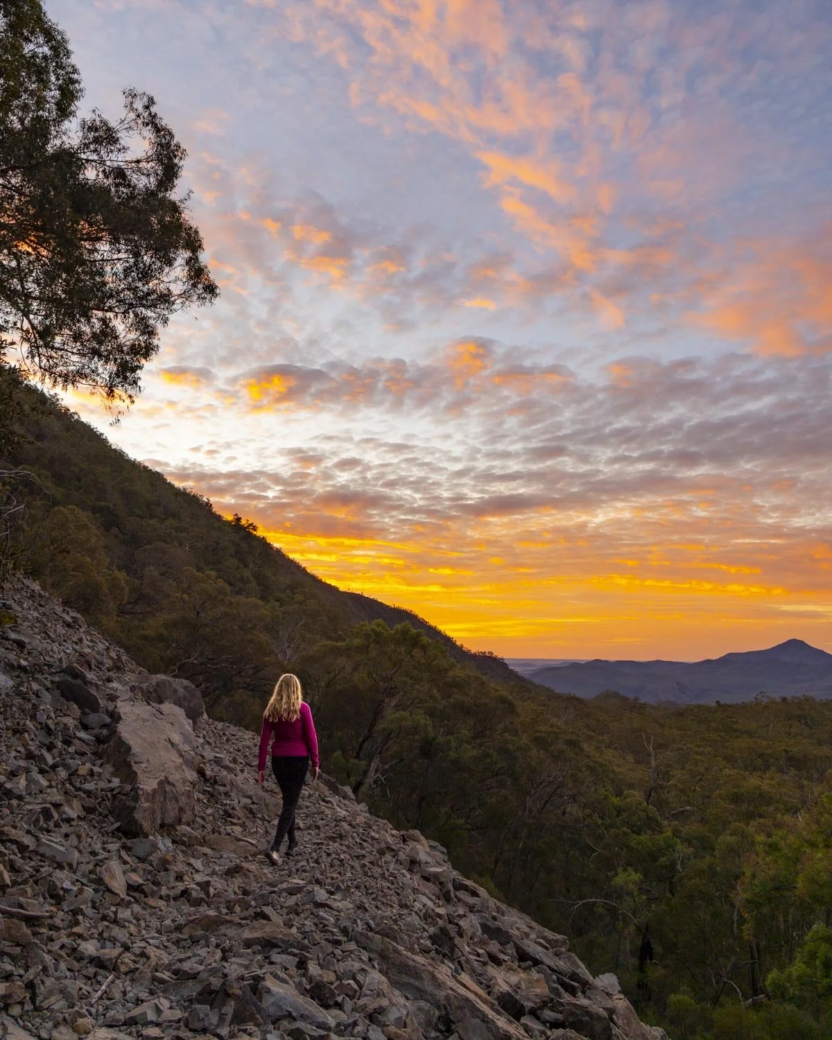
There is a large drop to the right of the path, but as the path is not too narrow I think most people will find it fine.
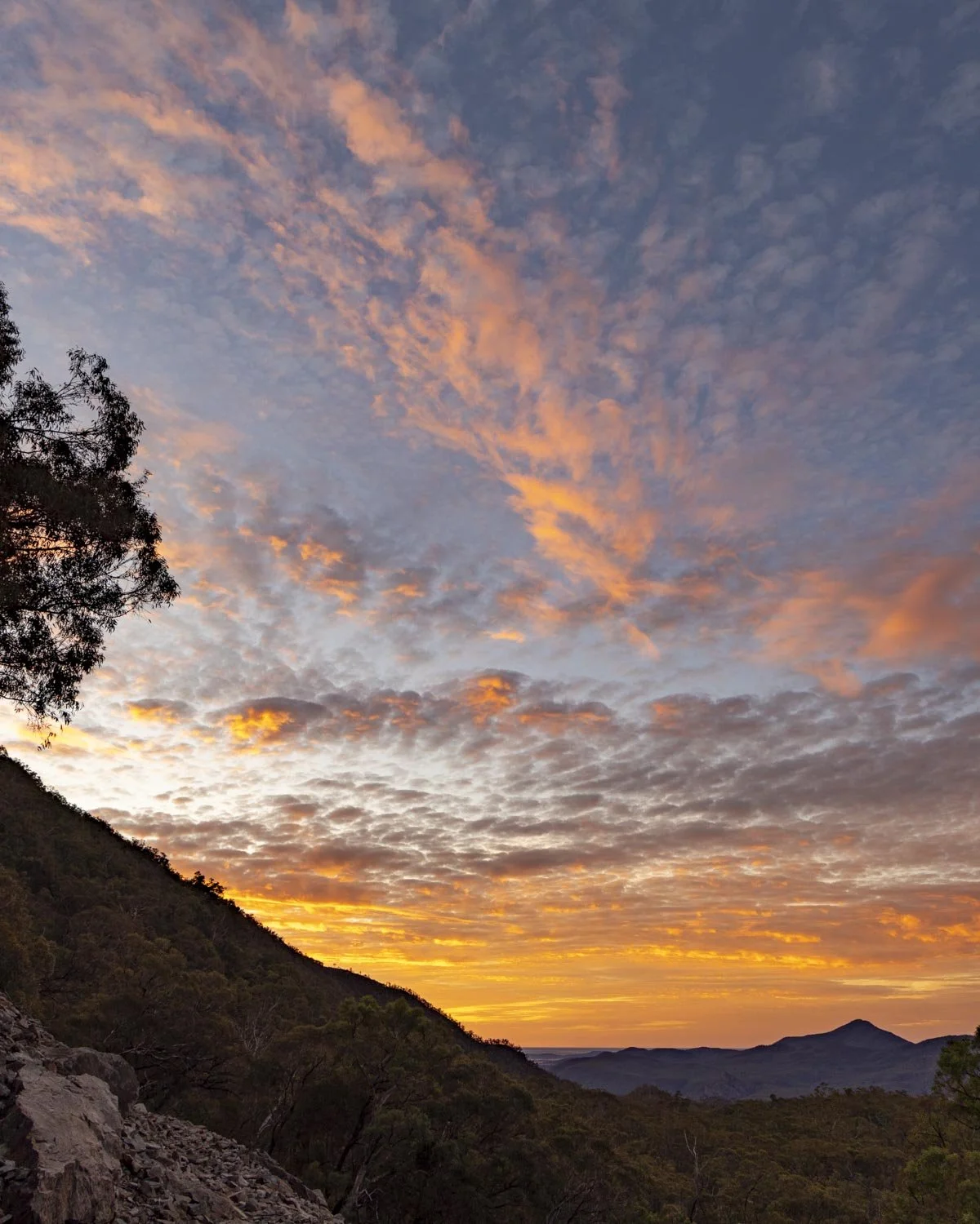
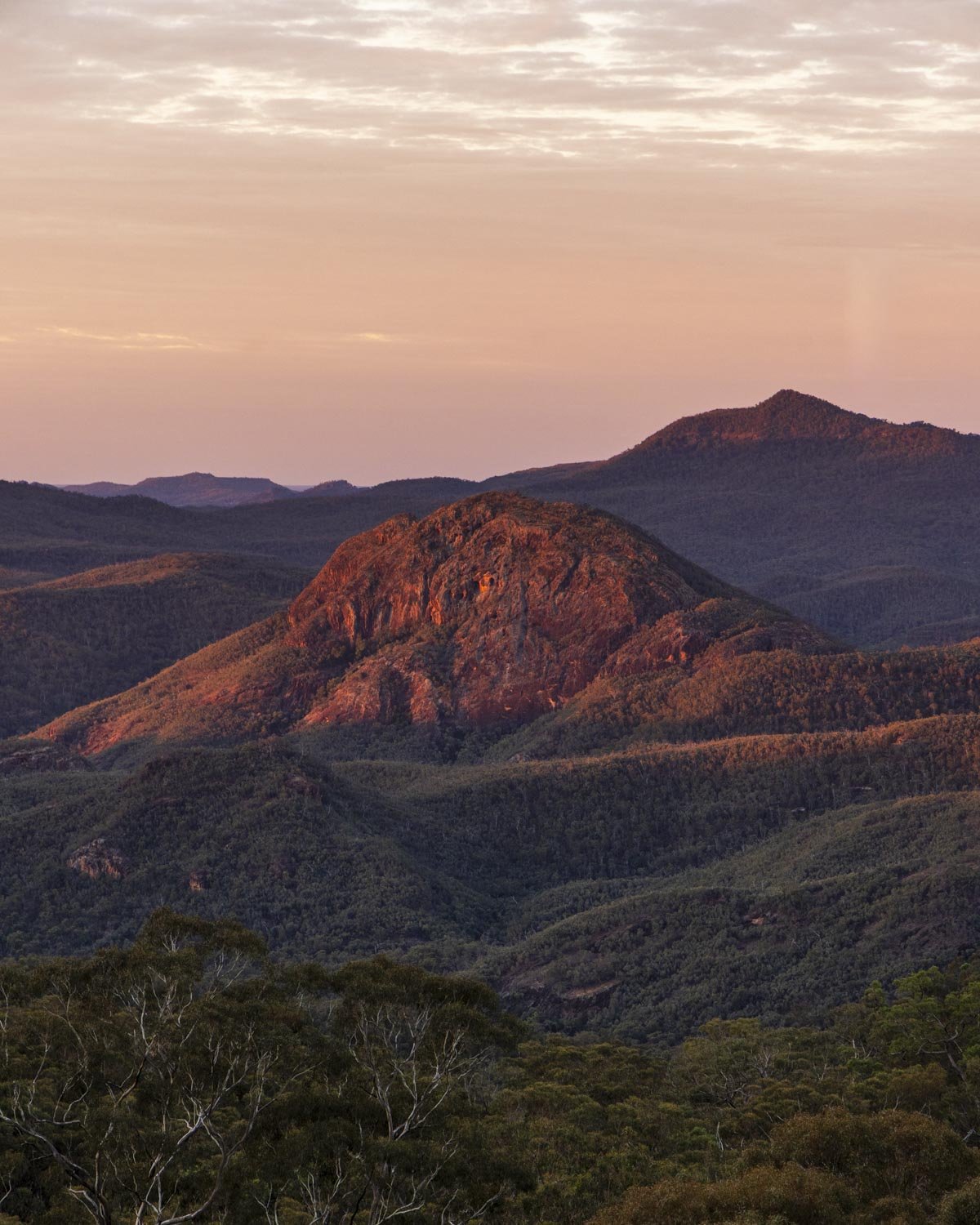
The rubbly bit lasts for around 400m and then you have 100m in the bush before you reach Danu Camp.
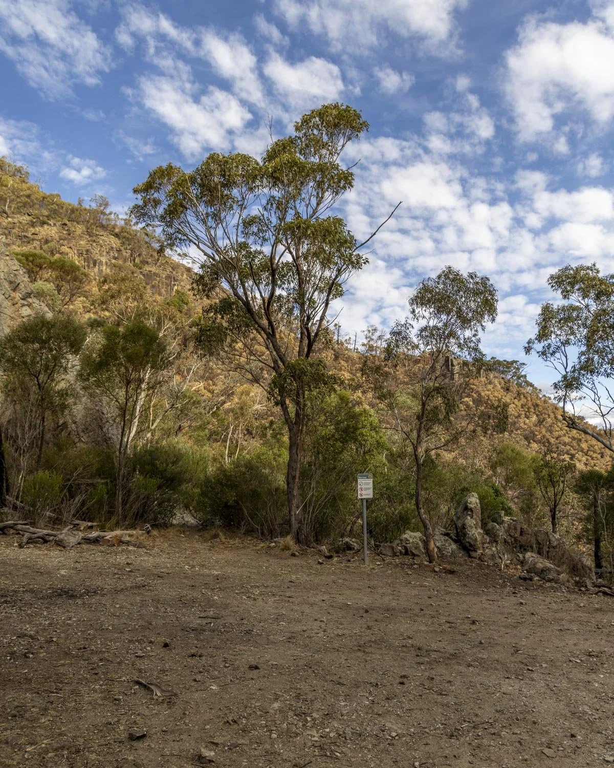
There’s nothing to the camp but if you wanted to watch sunrise or sunset at Mount Exmouth it would make it a whole lot easier.
To Mount Exmouth summit
Distance: 2.8km
From Danu Camp you cross over the fire trail and follow the signposted track into the bush. You’ll now follow a steeper dirt track through the bush with intermittent splendid views of the mountains after a couple of hundred metres.
Though most of this final section is uphill, there are some good flat stretches too, so it’s not a relentless climb.
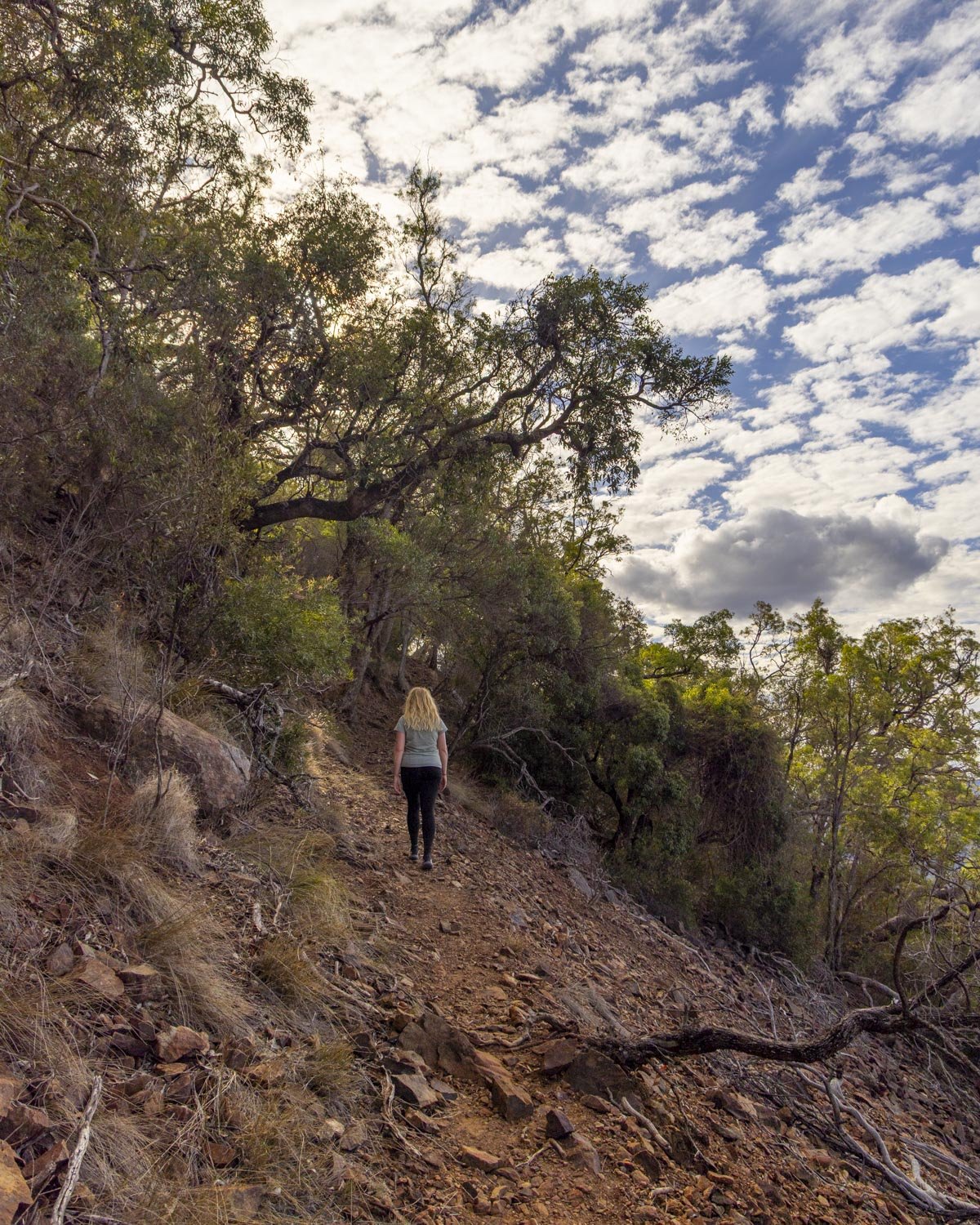
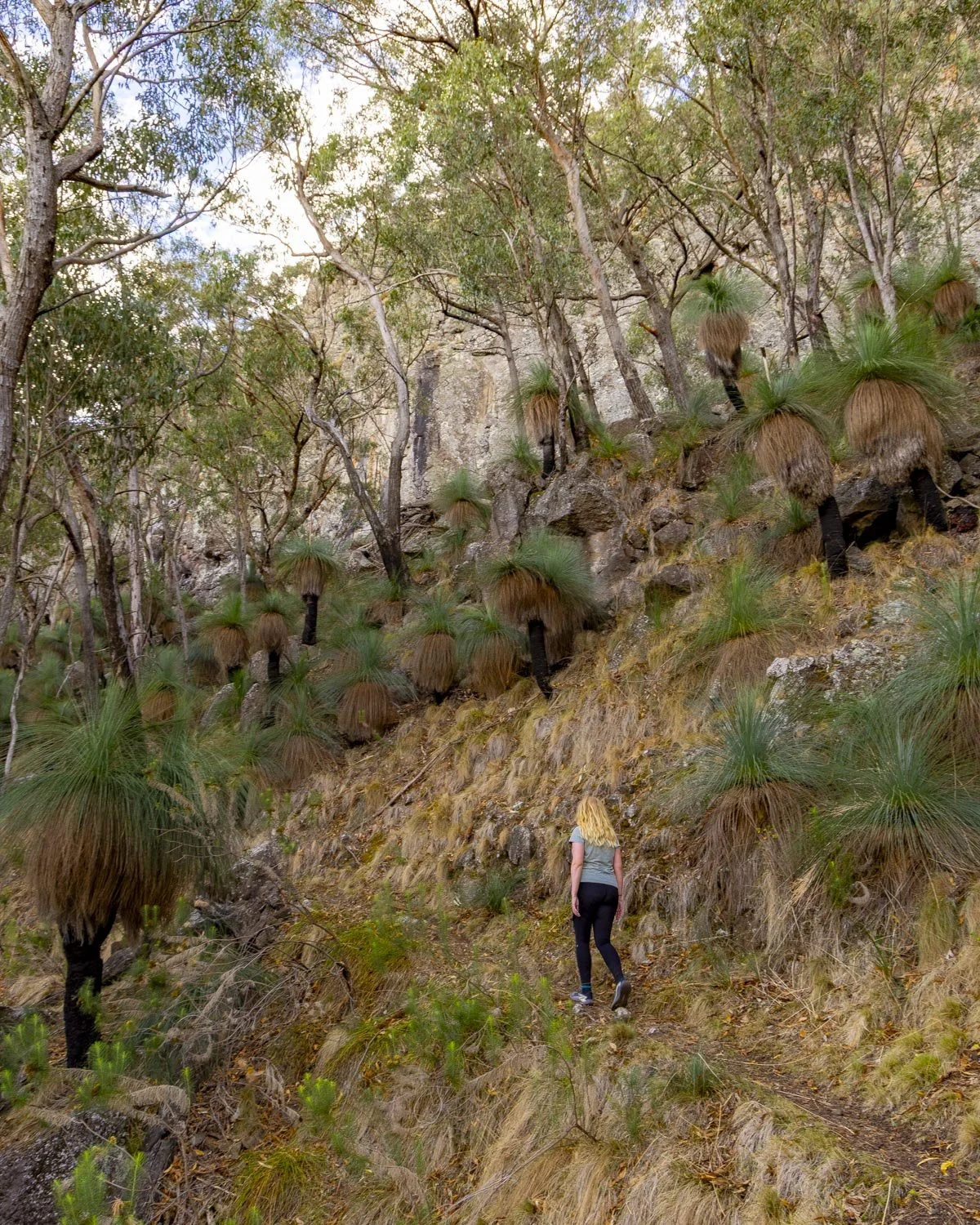
The path gets even prettier just over a kilometre in, with some impressive cliffs and oodles of kangaroo tails.
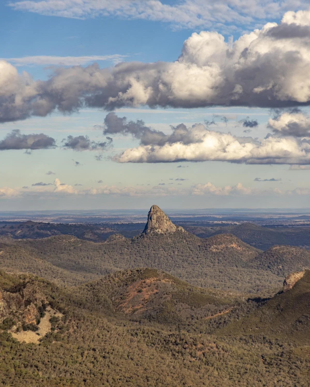
There are also some great views to the mountains and rock formations, including one of our favourites which we’ve dubbed the Sharks Fin, you’ll know it when you see it!
There are some narrow sections along this next stretch and a few bits which had leaf litter, but I didn’t find it too slippery or difficult and I normally don’t like that kind of terrain so I’d say it’s still pretty good.
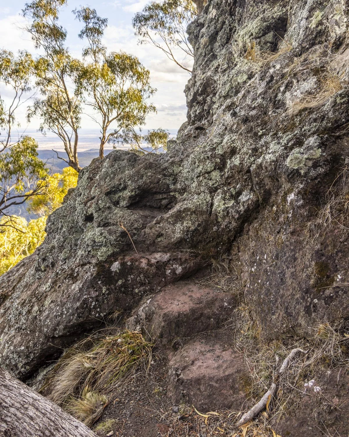
The climb continues but it is punctuated by flat sections. You’ll reach a junction at the 9.2km mark and turn right before soon reaching an open ridge.
There’s one more short rocky climb and then the path largely flattens as you make your way along the summit plateau.
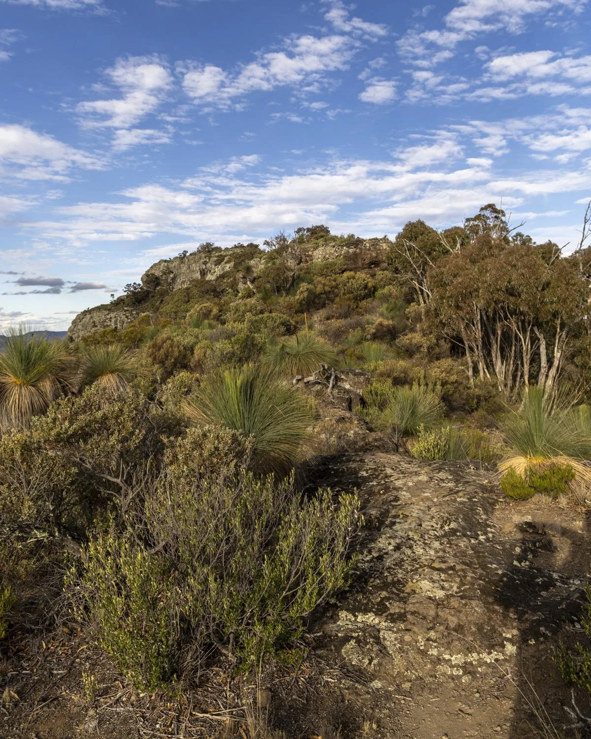
There is one huge cairn and another trig point at the end of the ridge.
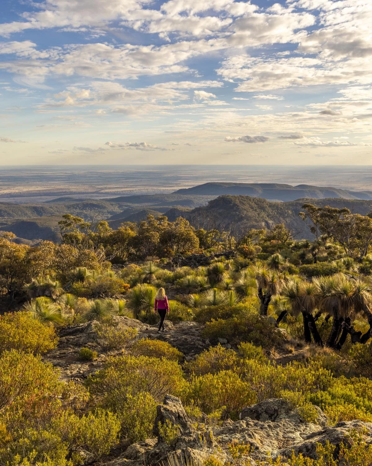
The top of Mount Exmouth
The whole rocky plateau to the trig point is stunning, both in terms of panoramic views and some unusual vegetation. It definitely feels like the landscape is born of volcanoes.
It’s quite different to the tops of any of the other peaks we’ve done in the area and I found it magnificent.
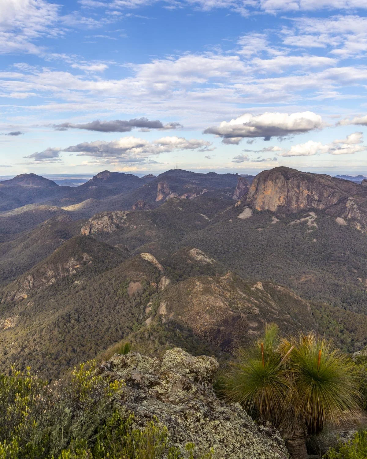
My favourite area was right at the end by the trig, both for the mind blowing views and for the fact we were surrounded by soaring eagles!
It’s by far the closest I’ve ever been to an eagle in flight and it really did give you the feeling that you’re on top of a mountain.
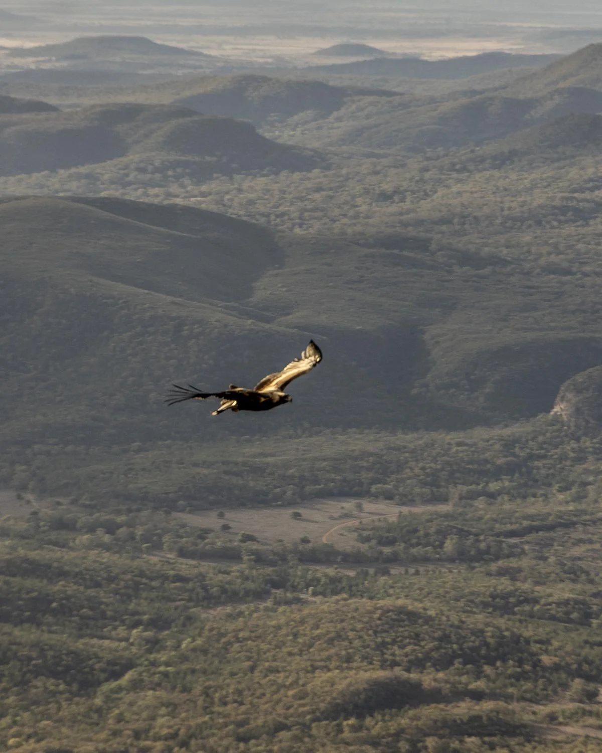
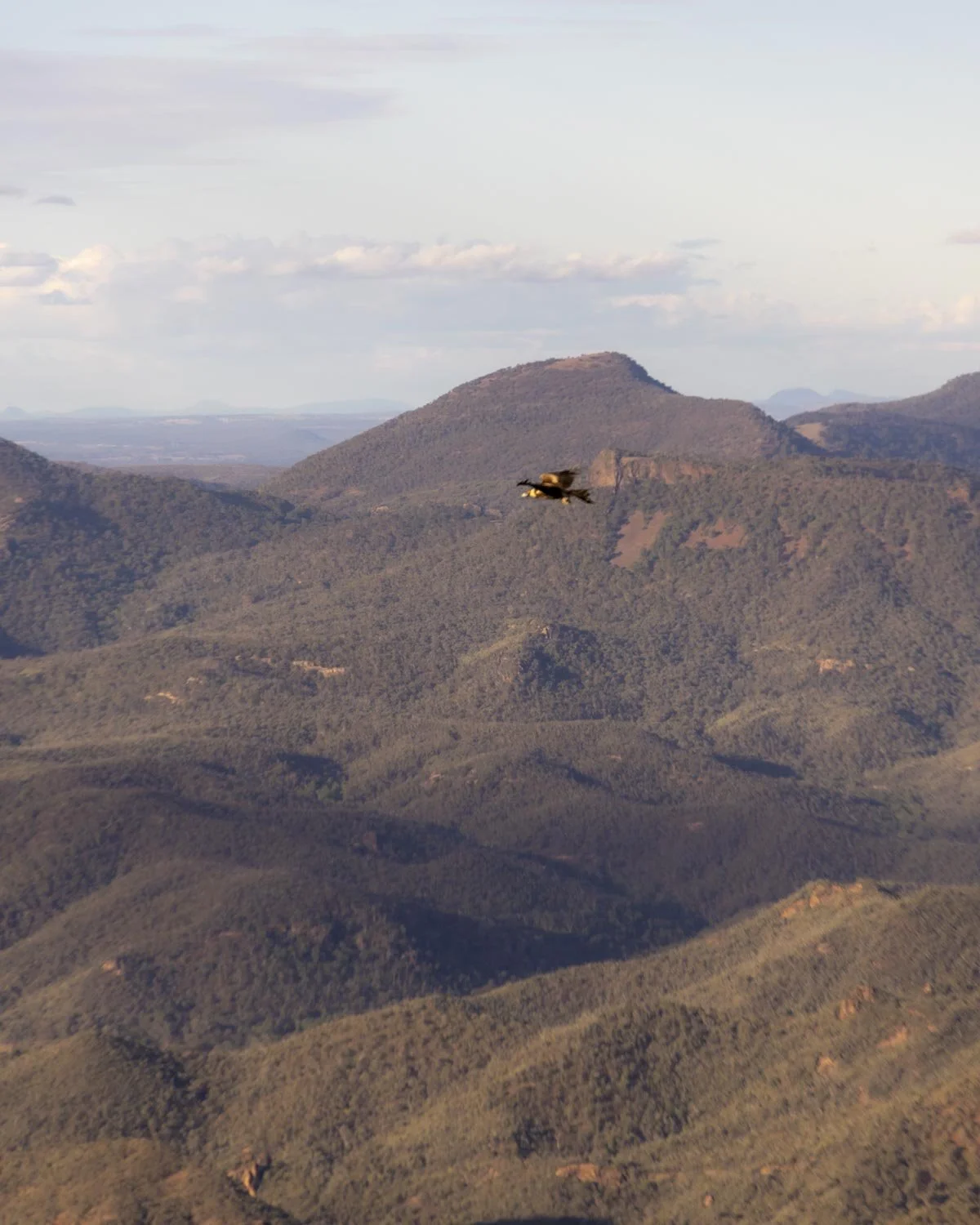
There is plenty of room to sit and relax at this spot and tearing yourself away from the views and the eagles may be the hardest part of all!
The descent
Due to the good paths and the lack of very steep terrain, the walk back down is long but not challenging. I had some gnarly blisters at this point (the first time in over a decade after committing the cardinal sin of wearing fairly new boots!) and this was really the only challenging part.
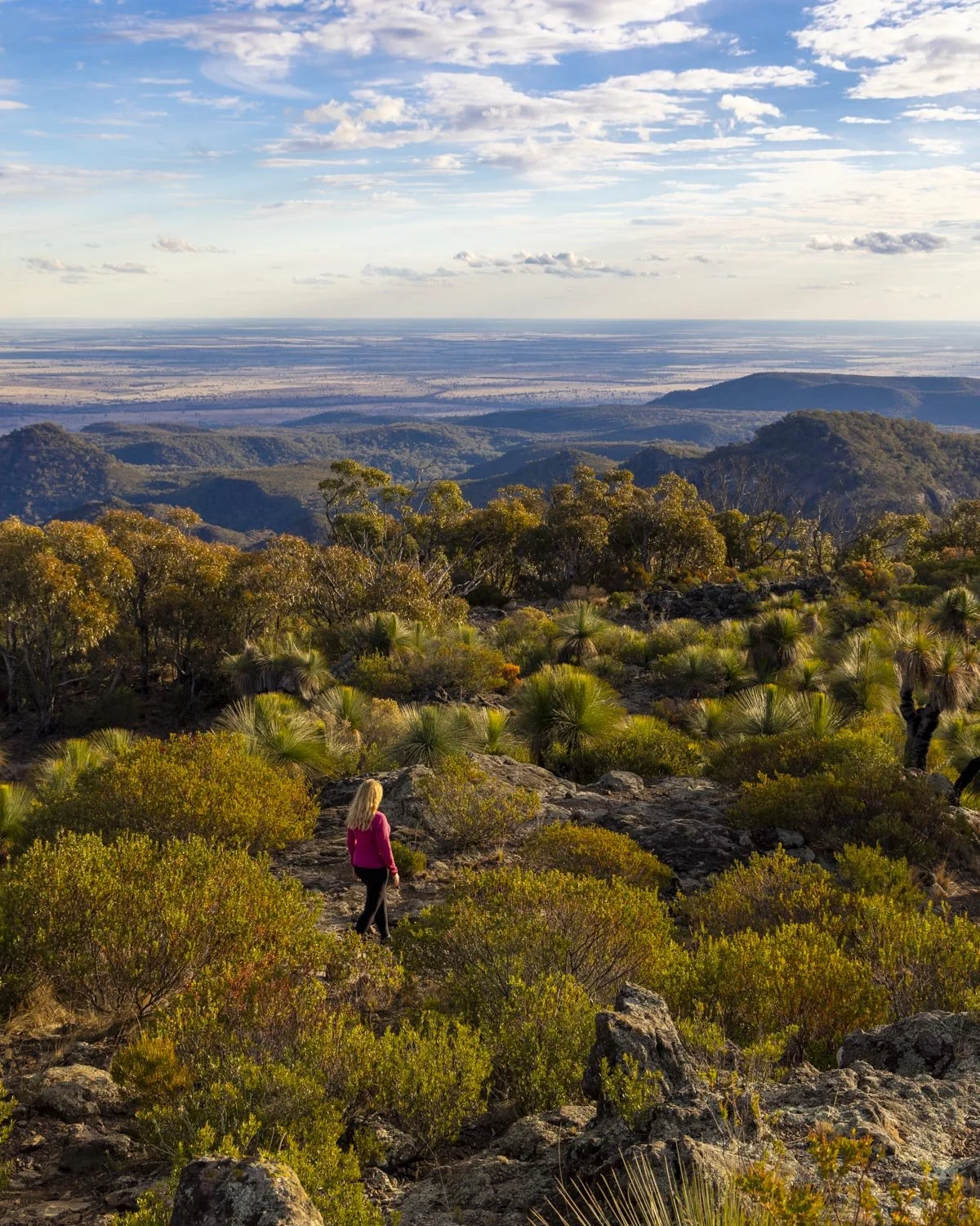
The flat or gentle sections of the track give your legs a break from the descent and prevent jelly legs!
We did around 6km of the track in the dark, which again due to the good terrain was easy, so all in all it felt quite long but not difficult and there was a good sense of achievement once we got back to the car park.
Getting to the Mount Exmouth trailhead and fee info
The Mount Exmouth track begins from the Pincham carpark, not far from the visitor centre in the Warrumbungle National Park, you can see the exact location on Google maps here. There are toilets at the car park and the Pincham campground is also nearby.
If you’re driving from Coonabarabran it takes around 30 minutes.
The Warrumbungle National Park has a daily fee of $8 per vehicle, though if you have an annual NSW National Parks Pass this fee is included.
This post may contain affiliate links, meaning at no additional cost to you, that we will earn a small commission if you click through and decide to make a purchase. This helps towards the costs of running our website. Thanks for your support.
Everything you need to know about the hike to Mount Exmouth, the highest peak in the Warrumbungle National Park. We’re sharing difficulty, trail conditions and details on the side trail to Cathedral Arch.