
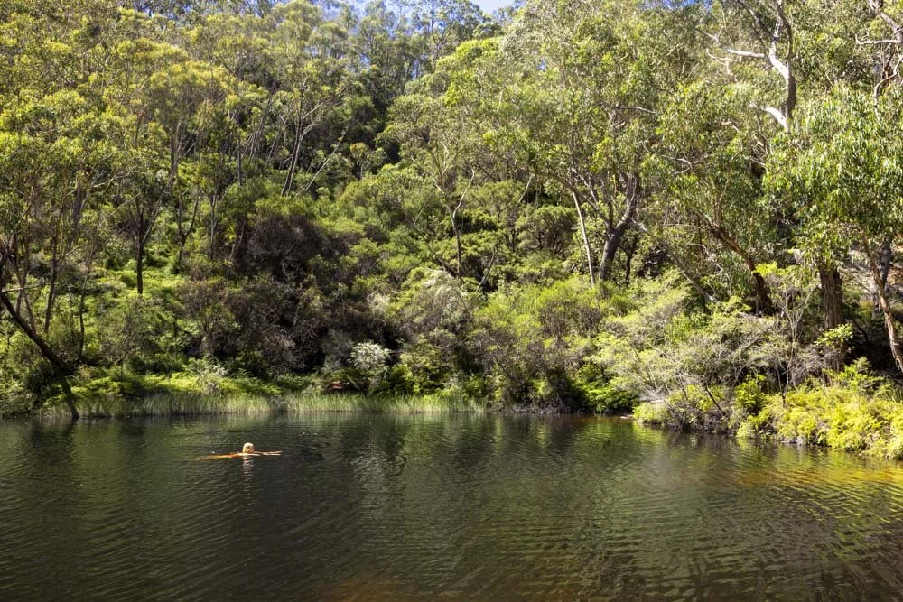
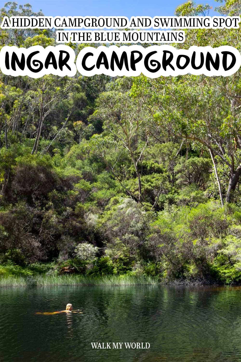
If camping next to a waterhole amongst the gum trees sounds idyllic to you, then head for Ingar Campground. The serene pool is the perfect place to while away a sunny afternoon before cooking up a storm at the picnic bench beside water.
There are eight pitches available and one is completely separate from the rest and feels like your own private bush retreat (more details on that in the article).
The catch is that as of 2018 road access to the campground was closed to the public, meaning the only option for accessing this much loved spot was via a 20km walk. The good news is that the National Parks Service has quietly reopened access via Murphys Road which halves the walk in time. It’s still a fair walk, but at least it’s half the distance!
Here’s what to expect from the trail.
The walk to Ingar Campground
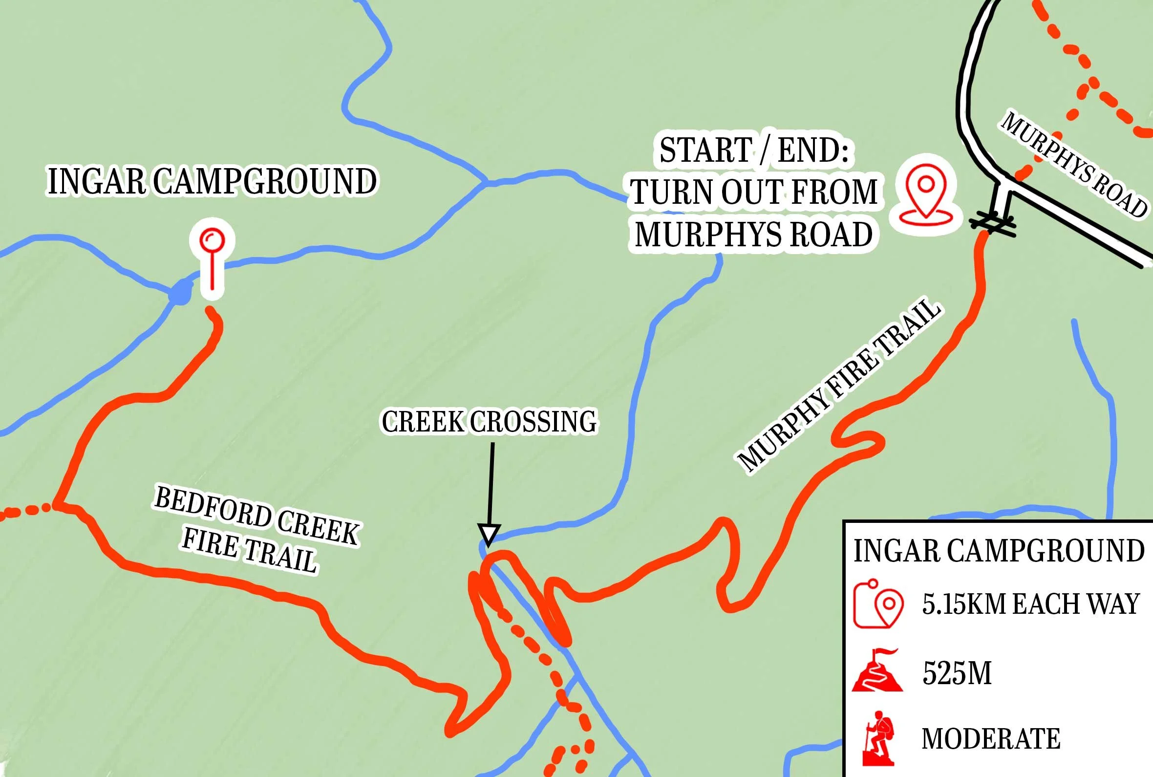
The stats
Distance: 10.3km return
Elevation gain: 525m
Difficulty: Moderate
Trailhead: Turn out from Murphys Road, Woodford
Summary: There’s no two ways about it, even using this new route - which is half the distance of the route from Tableland Road - the walk is fairly lengthy, especially with an overnight pack.
There’s also a hefty amount of elevation gain, though it is split between the way in and out, as you walk down to the creek, then up to the campground, and then you have the same in reverse (though the way back is more uphill than the way there).
However, the route is entirely on fire trail, so conditions are good for the most part. There are some steep sections which are a bit loose and these require a bit of care when descending.
There is also one creek crossing, which is easy to navigate as it’s only ankle deep though it requires removing your shoes to avoid wet boots for the rest of the walk.
The trail
There isn’t a whole lot to say about the track with it being entirely on fire trail, but I’ll do my best! From the parking area just off Murphys Road (full parking details below) you walk around the locked gate and head briefly downhill.
There’s a tiny amount of uphill to follow before the track begins descending more consistently.
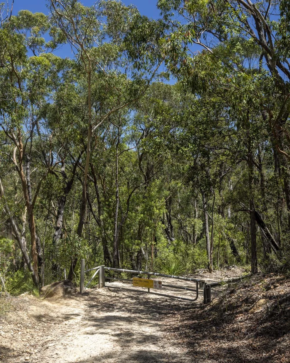
There is some reprieve on flat sections too, but the majority of the route to the creek crossing at the 2.6km mark is downhill.
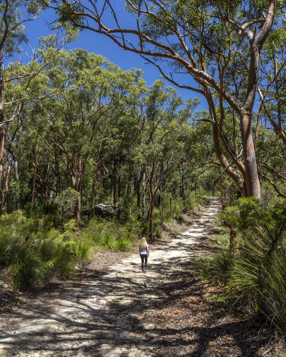
There are some steep sections, but the terrain is generally good - I didn’t have to run down many sections which is a fairly good indicator it’s not horribly steep.
Around 2.6km in, just before the creek crossing, the bush gets prettier with more ferns and some beautiful blue gums.
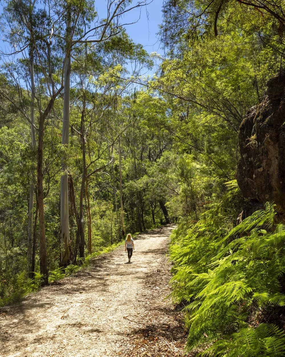
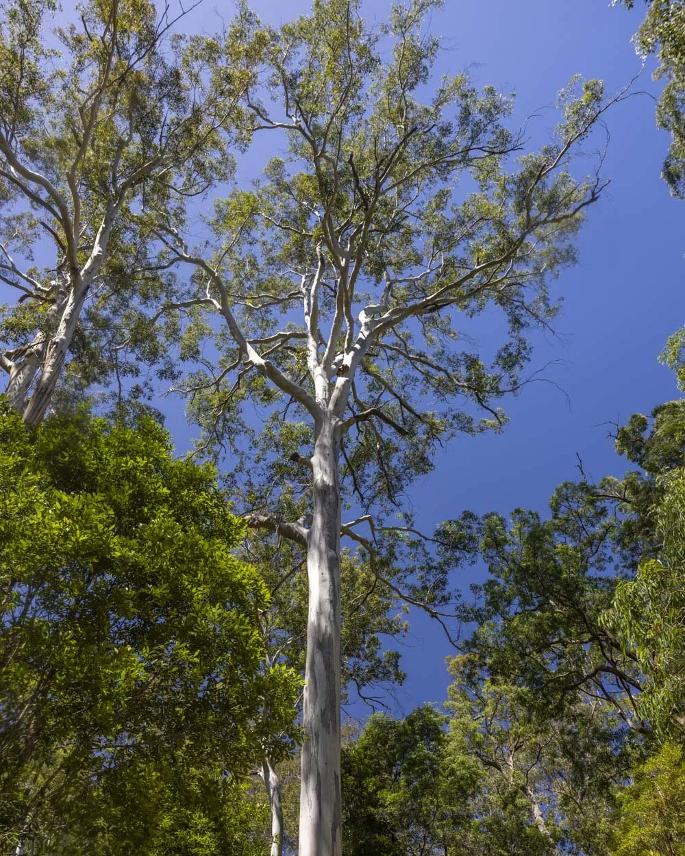
The creek crossing comes 50m later, it’s around 5m long and the water is around ankle deep. There are some rocks you could try and use as stepping stones, but they’re small and loose.
We opted to take our shoes off and go barefoot, which was easy enough.
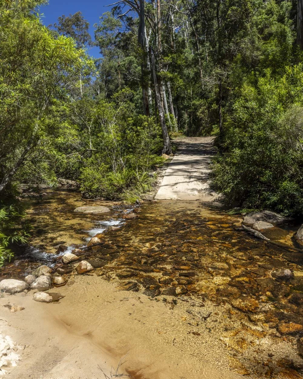
The next section of track is uphill and steep. The next few hundred metres are the steepest of the track, which was more of a problem on the descent when footing feels a bit iffy and loose.
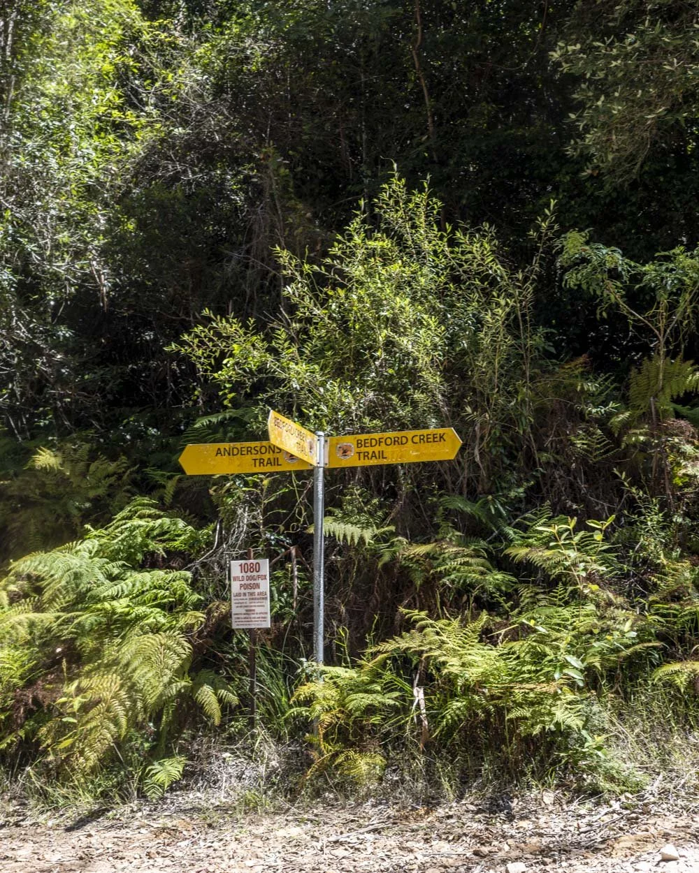
Roughly 100m from the creek crossing there’s a signpost and you need to turn right, continuing uphill on the Bedford Creek Trail.
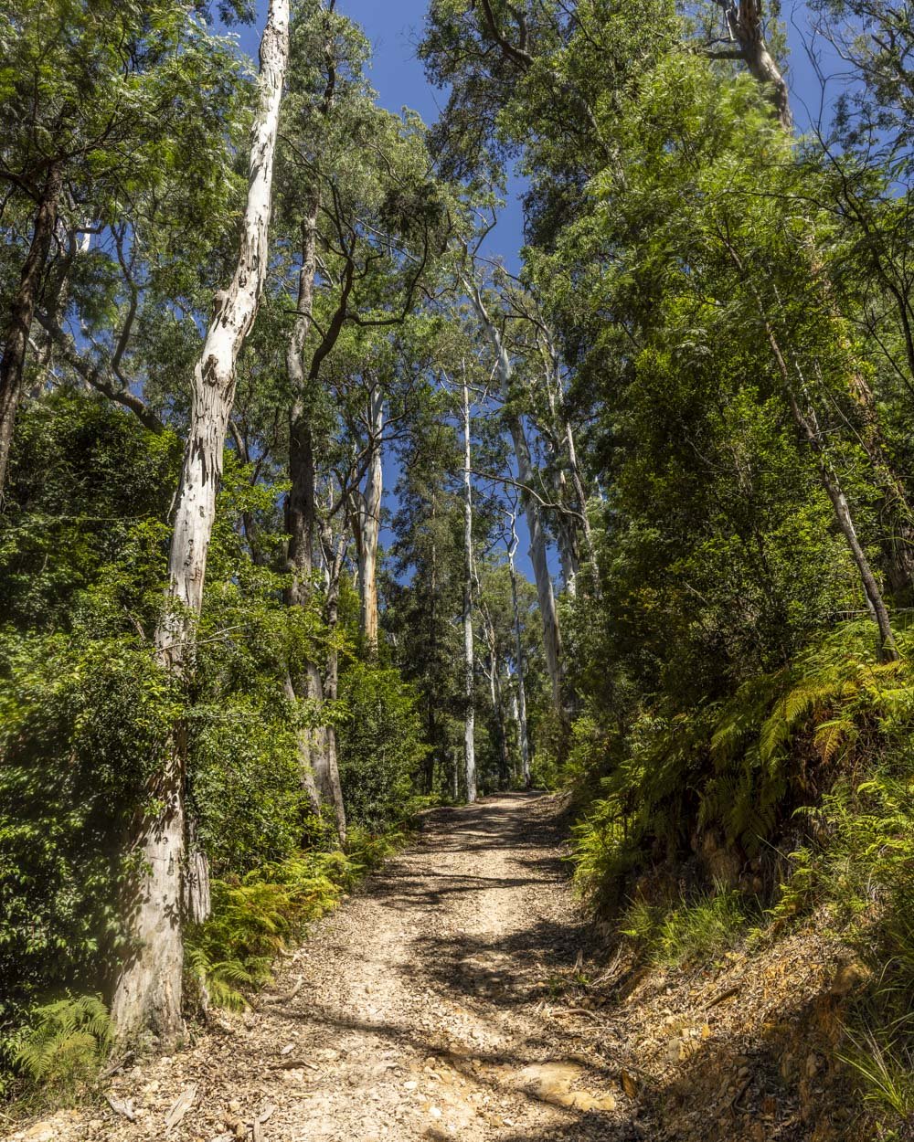
After 500m more climbing there’s a brief break on the flat before the ascent continues, but less steeply now. Some of it is gentle enough as to feel relatively flat after the sharp gradient on leaving the creek.
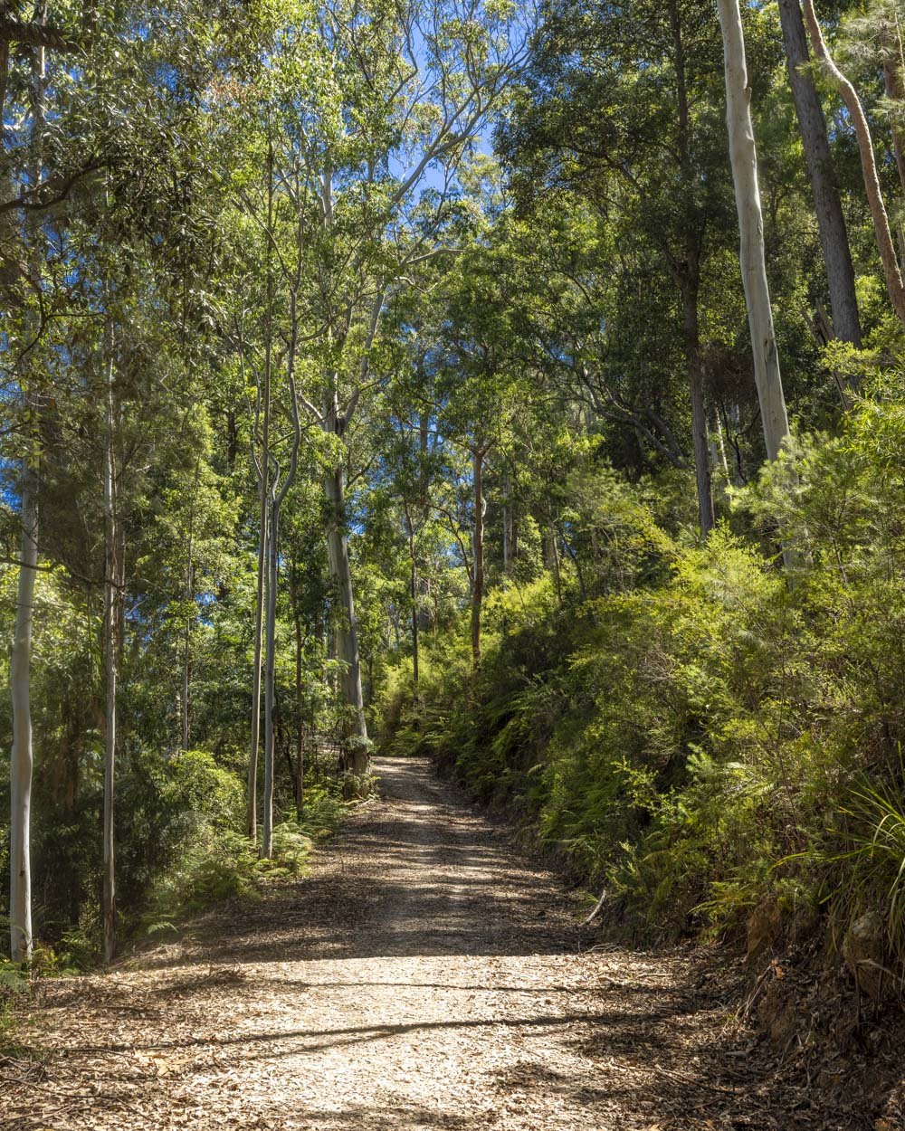
From the creek crossing you will continue uphill for 1.8km before arriving at another signposted junction (4.4km into the trail).
You’ll turn right here, now following the sign for Ingar Campground. From here you descend gently for 700m to the campground.
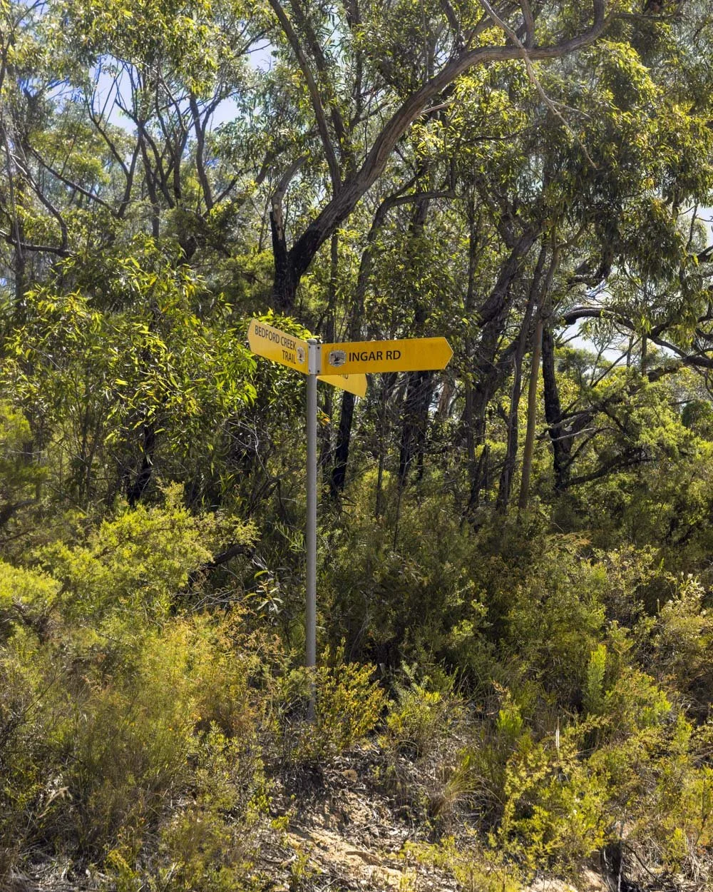
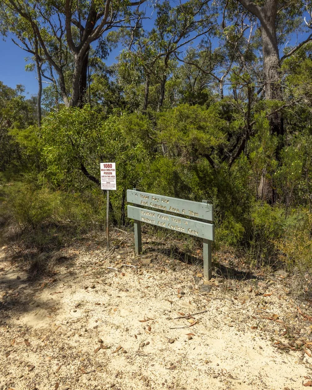
Just before you reach the campground you will come to a signpost for the day use area (straight on) or the campground (right), they are just minutes apart.
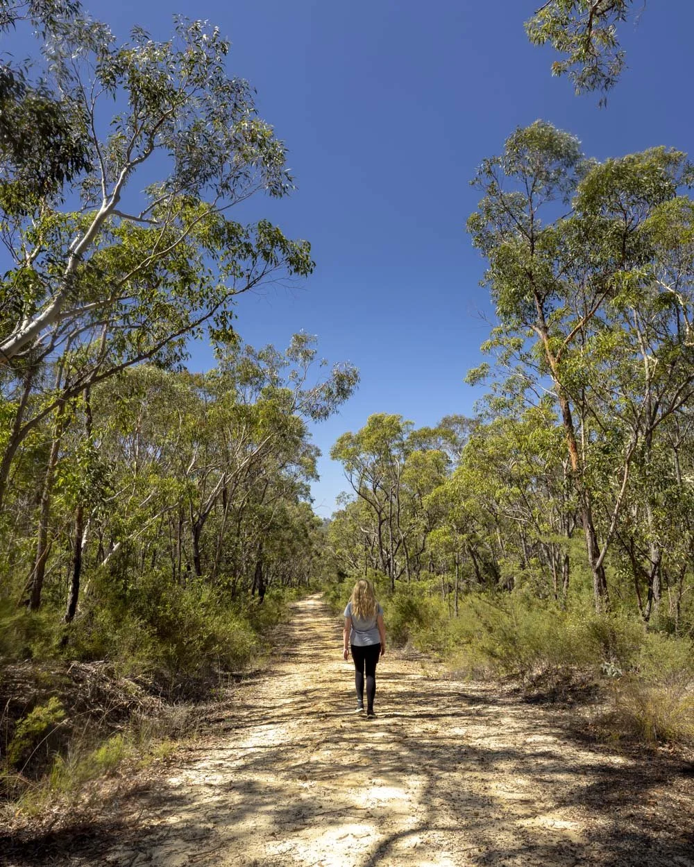
The Ingar Campground swimming hole
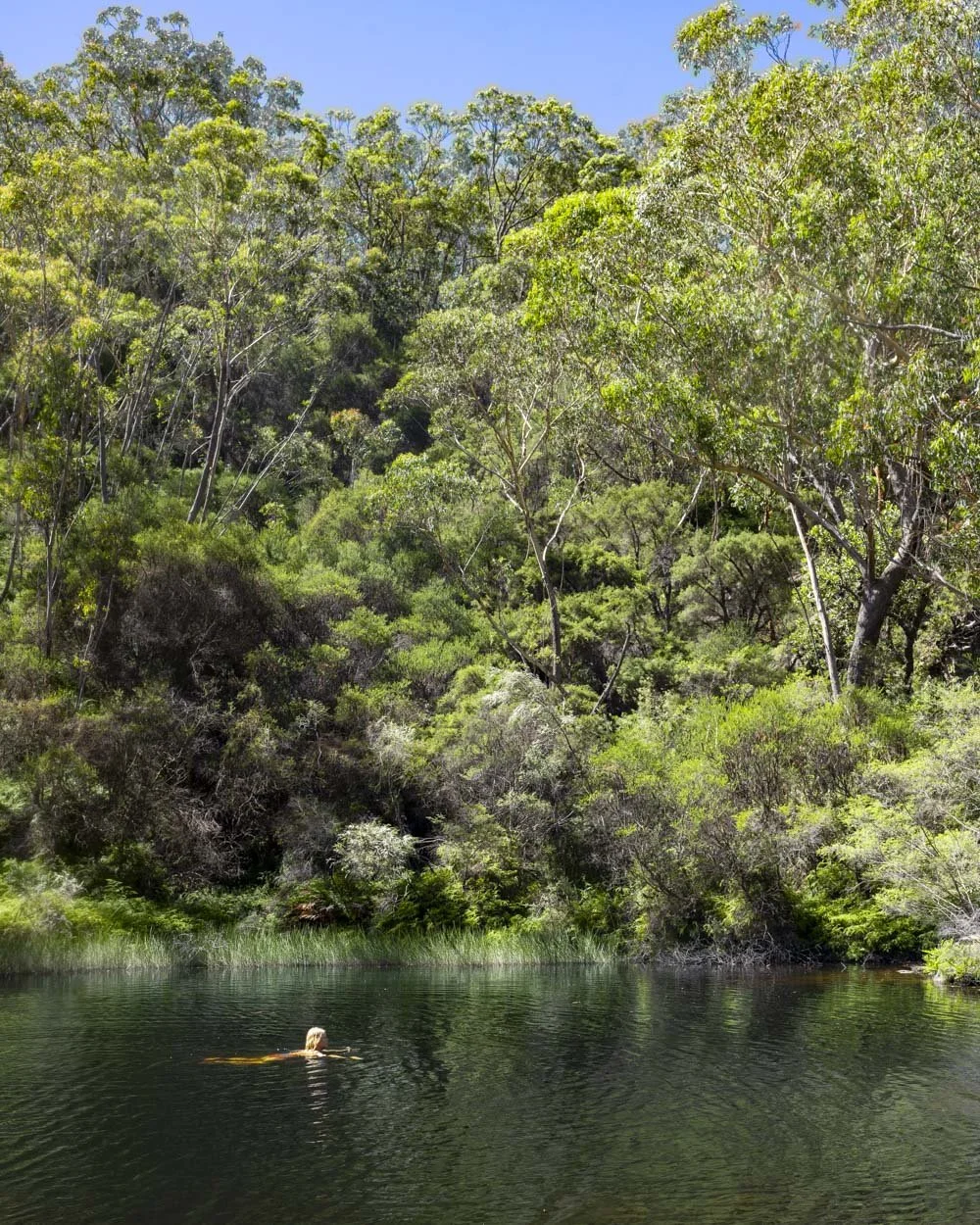
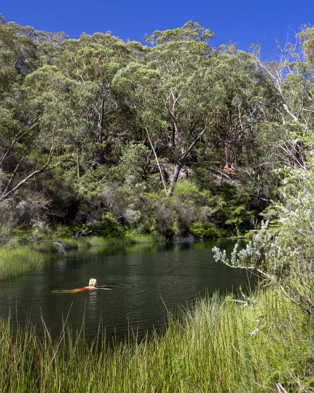
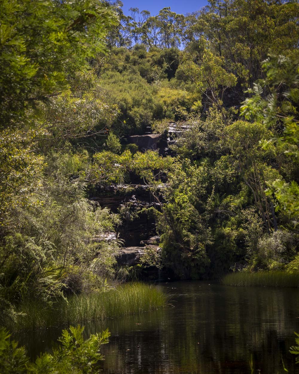
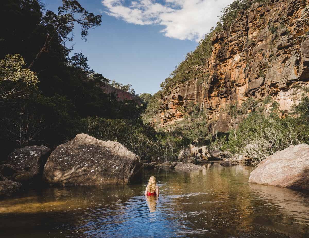
The swimming hole can be found by continuing straight at the junction, it’s located at the day use area. It’s a small lake surrounded by gorgeous bushland and small rock walls.
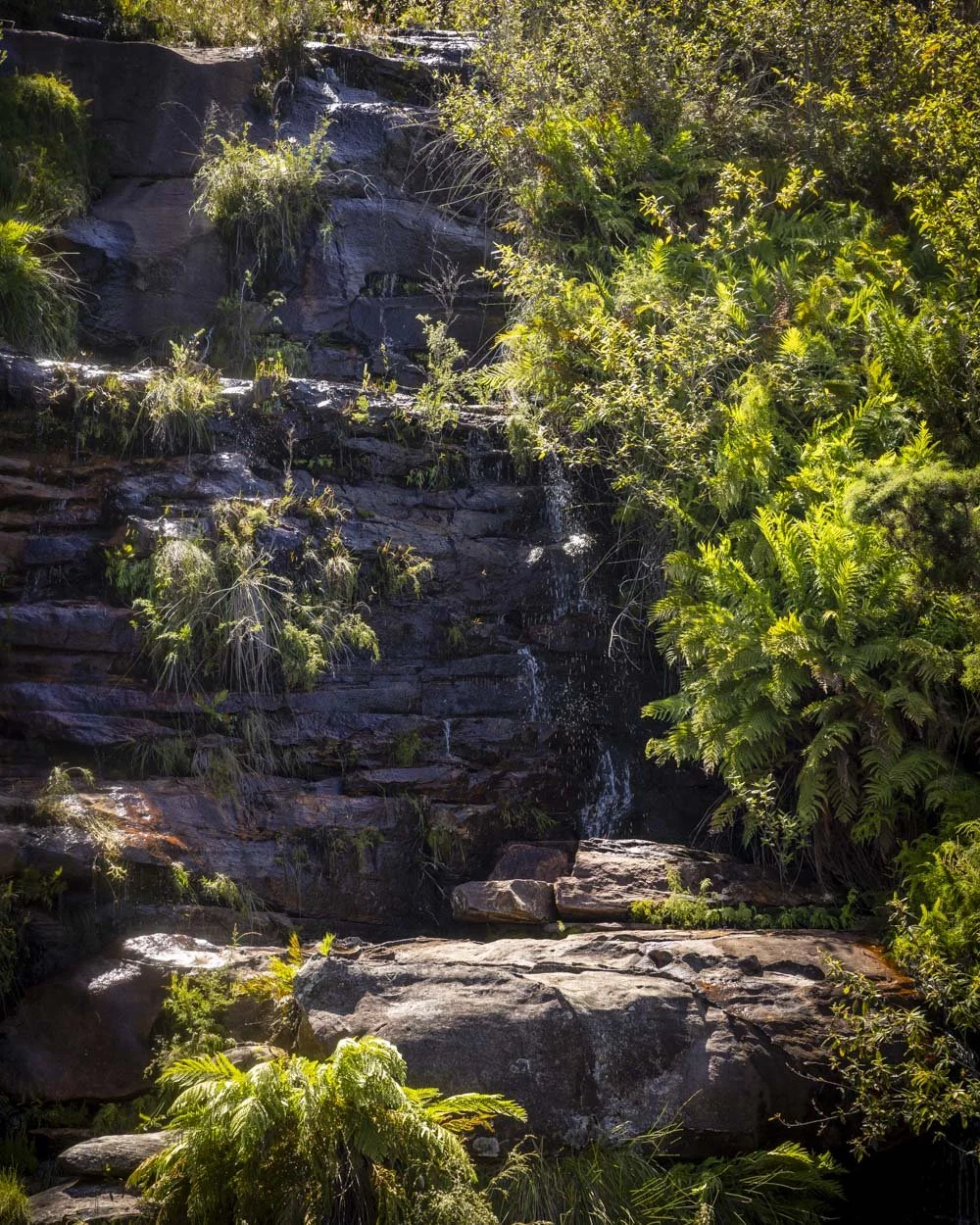
There’s a waterfall or probably more of a weeping rock at the western end. It would be a waterfall shortly after heavy rain but otherwise it’s just a trickle.
Either way it’s picturesque and even when there’s only a small amount of water it creates a lovely sound to swim too.
The water was a mix of hot and cold on our visit, but still refreshing even on a very hot day. Access to the pool is via a stone step into shallow water.
It’s then quickly deep enough to swim, though it gets rocky and shallow again when you near the waterfall.
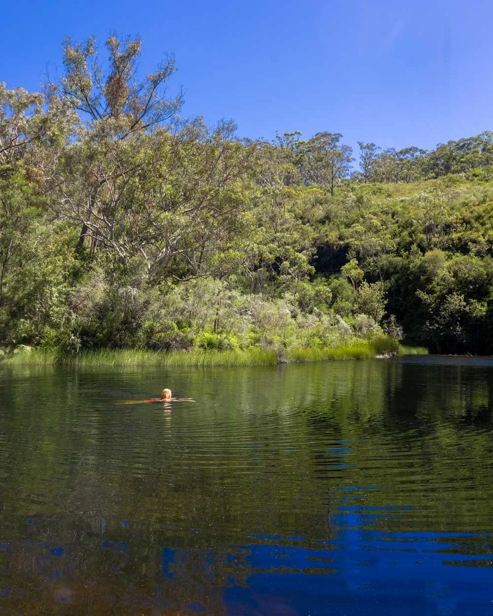
That still leaves plenty of room for unobstructed swimming and it’s such a tranquil spot with nothing but the sounds of nature.
We visited at the end of January and there was no one at the campsite at all to our surprise, so it was just me and the butterflies and dragonflies at the pool which was so relaxing.
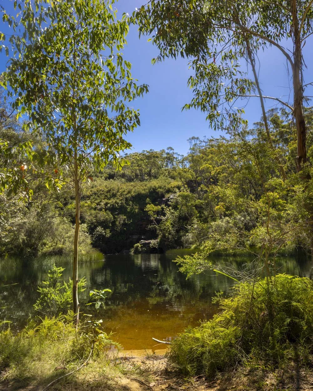
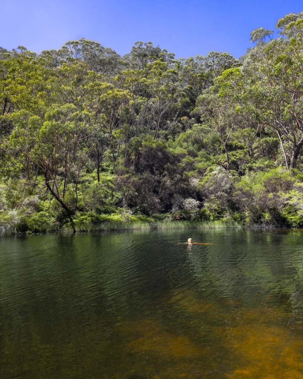
There is a rope swing on the left side of the pool (by the larger picnic area) but the water is very shallow, so I’m not 100% sure that using it is a good idea!
Ingar Campground
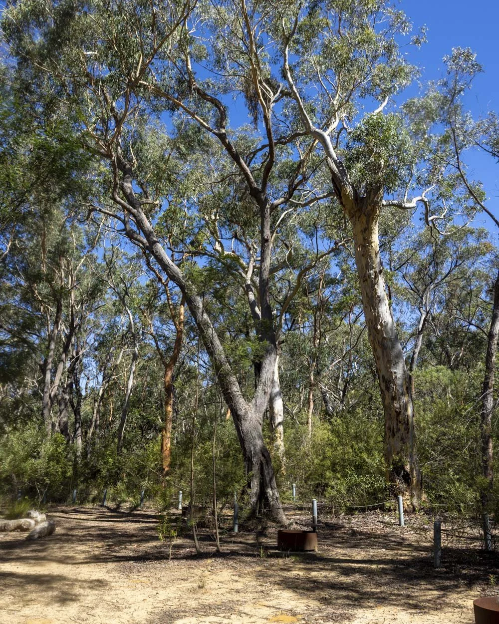
As mentioned there are 8 bookable sites at the campground and the majority are in one area with little in the way of space between them, great for groups, but less great if you were hoping for a bit of privacy.
However, there’s a second area just beyond the main sites and this has a few more pitches which are more spread out.
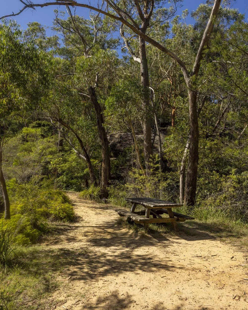
Though for the true creme de la creme experience you want to head to the far eastern corner of the campground and here you’ll find the most delightful camp spot which is entirely separate from all the rest. It even had its own picnic bench to go alongside the fire pit.
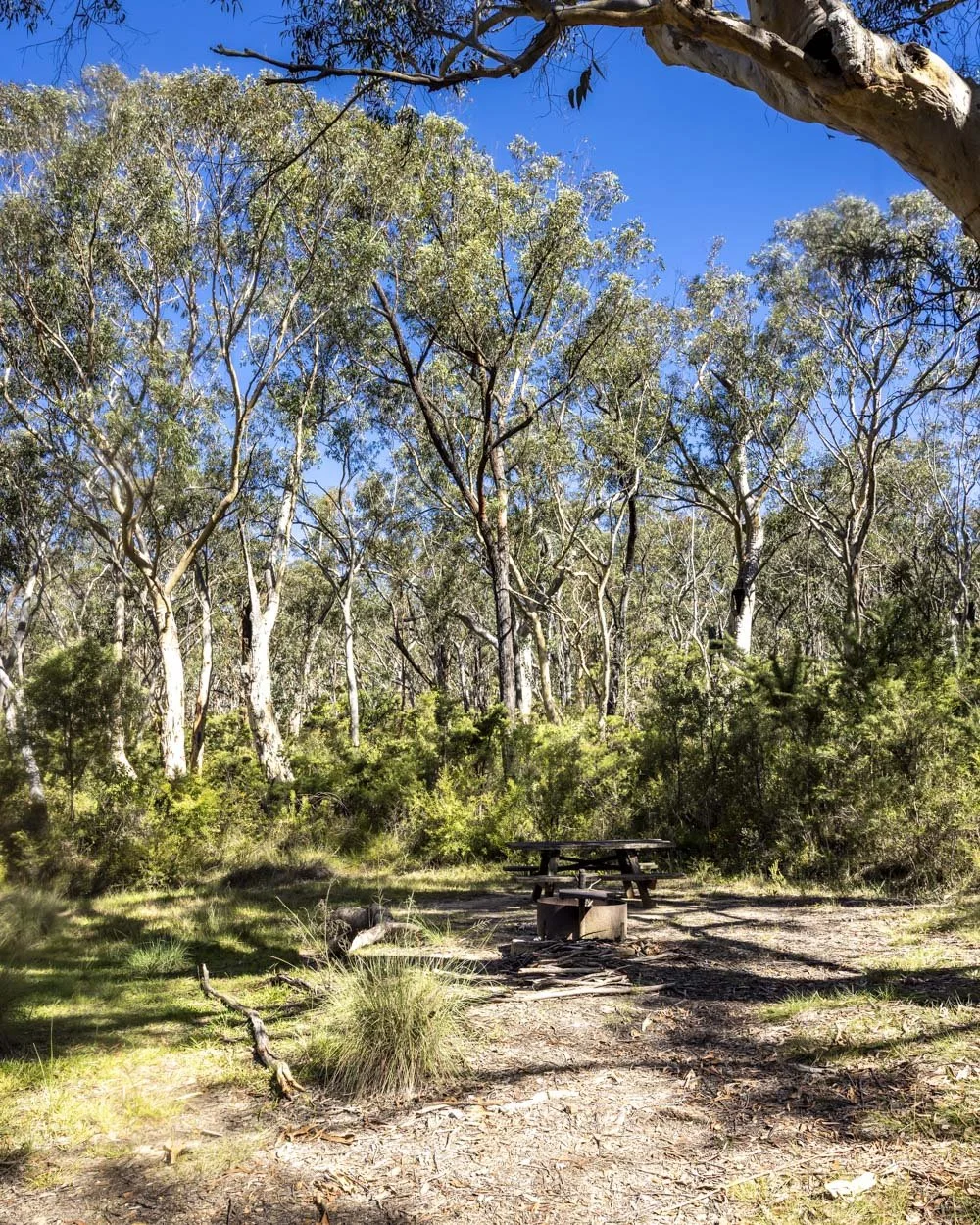
There was once a second site here but it’s so overgrown that no one would use it, so if you snag the remaining one it’s like you are in your own private campground. It’s fabulous!
In terms of facilities, there are two long drop toilets. One is nearer to the campsites than the other. They were pretty clean and had toilet paper, though I would probably bring your own just incase.
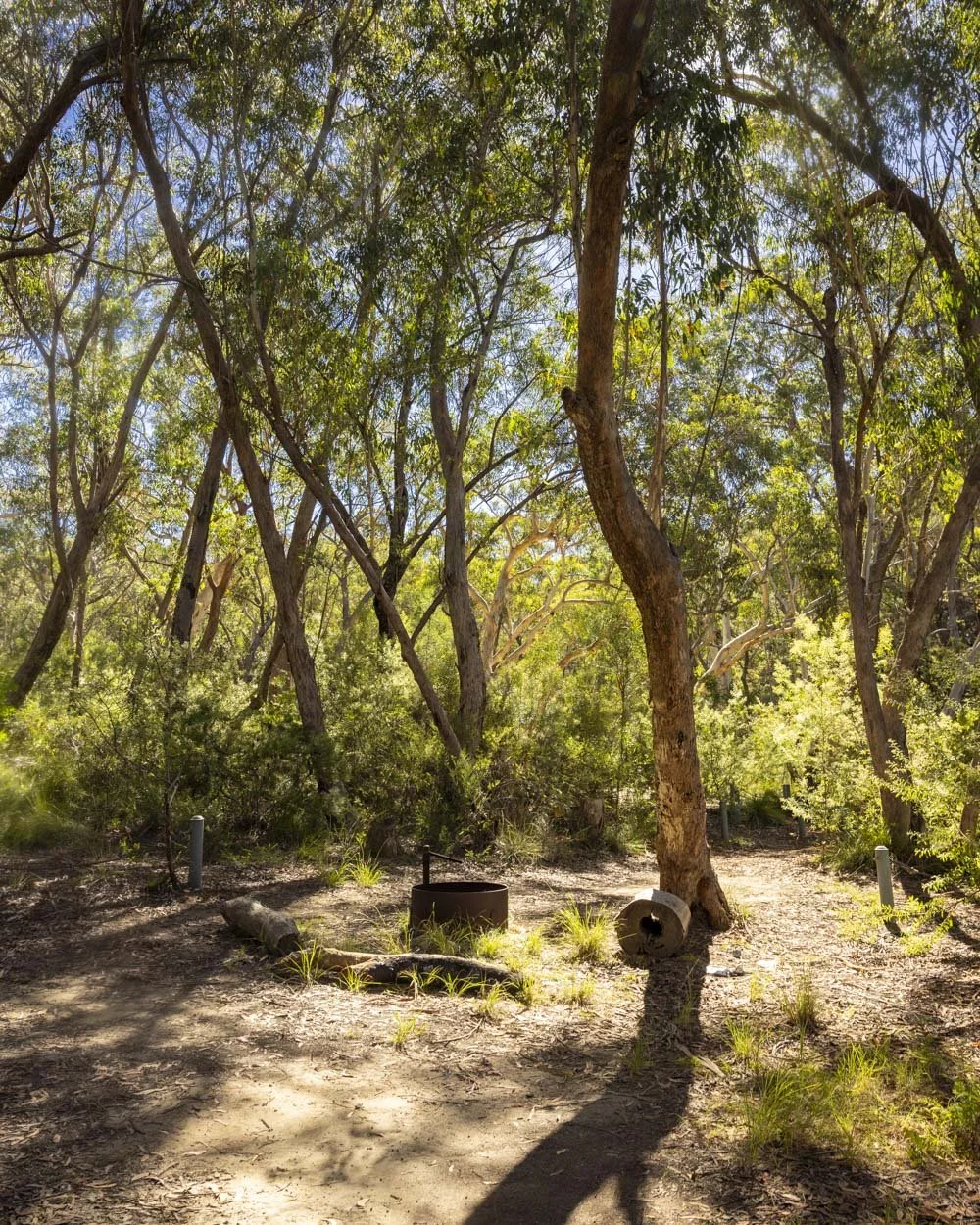
There is no running water available, so all that you need will have to be lugged up and down that fire trail with you!
It’s such a great campground that I can see why people were so upset when vehicle access was denied.
It does however mean that you are much more likely to get it to yourself now or to share it with just a few others which does add to the charm.
Bedford Creek Gorge walking trail
There is a short unmarked circuit trail that leads from the swimming hole to a lookout over the gorge. It’s a rarity, but for once we actually didn’t do the walk, so we can’t comment on what it’s like, but we did look to see where it began.
It leads uphill from the eastern end of the waterhole (just over the little stony creek beyond the picnic bench). Perhaps we’ll be back to do it another day : )
Getting to the trailhead for Ingar Campground
There are two possible routes you can take to the campground, our guide focusses on the shorter option from Murphys Road in Woodford (the longer route is via the Tableland Road in Wentworth Falls).
There is room for several cars to park in various pull outs close to the locked gate, you can see the exact spot on Google maps here, please remember never to block the fire trail access
Access is via 4km of unsealed road, but at time of writing it’s in excellent condition and suitable for any vehicle when dry.
This post may contain affiliate links, meaning at no additional cost to you, that we will earn a small commission if you click through and decide to make a purchase. This helps towards the costs of running our website. Thanks for your support.








The ultimate list of walks you have to do in Blue Mountains. We’ll take you through all the 21 best trails by area, including some easy Blue Mountains hikes, some moderate walks and those that are more of a challenge.