
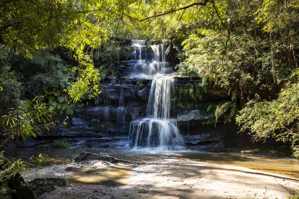
Ironbark Falls comes alive after rain, making it one of the most impressive waterfalls on the Central Coast. Despite this, it remains something of an unknown and you’re almost guaranteed to get it to yourself.
The walk is short, relatively easy and dog friendly, so if you’re looking for a quick adventure that’s still very rewarding, Ironbark Falls is a great choice.
Here’s how to get there.
The walk to Ironbark Falls
The stats
Distance: 700m return
Elevation gain: 30m
Difficulty: Easy, but the path is not maintained
Trailhead: The pull-out on Ironbark Road
Summary: The walk to Ironbark Falls is short, but it’s not a maintained track, so it’s a little rougher underfoot when compared to tracks that are in a national park.
There’s a short descent and therefore a minor climb back up to your car after visiting the falls.
The path can get a little muddy after rain, but only in a few spots and you can generally skirt around it.
The walk
From the parking area on Ironbark Falls Road, you need to look for the path that runs along the fence line that you can see in the photo below (the trail is not signposted).
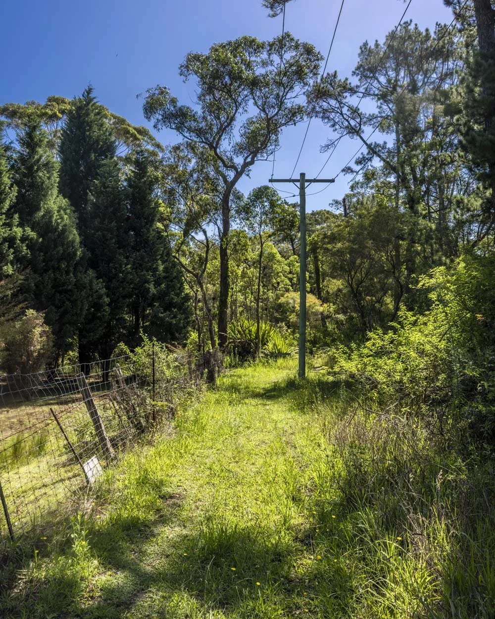
The wide grassy path follows the pylons before reaching a ‘no horses’ signpost after 75m, which is quite laughable as no one would ever consider riding it in its current state!
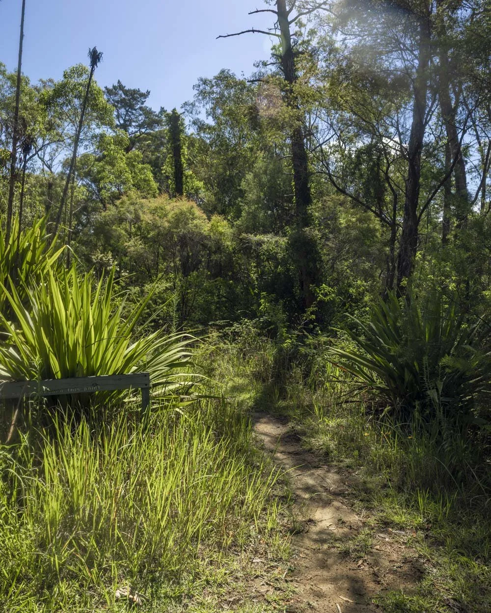
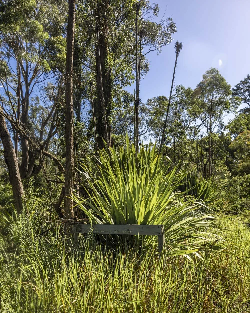
The path is now obvious and after another 75m (150m from the parking point) you will see a ‘waterfall’ signpost and follow it left.
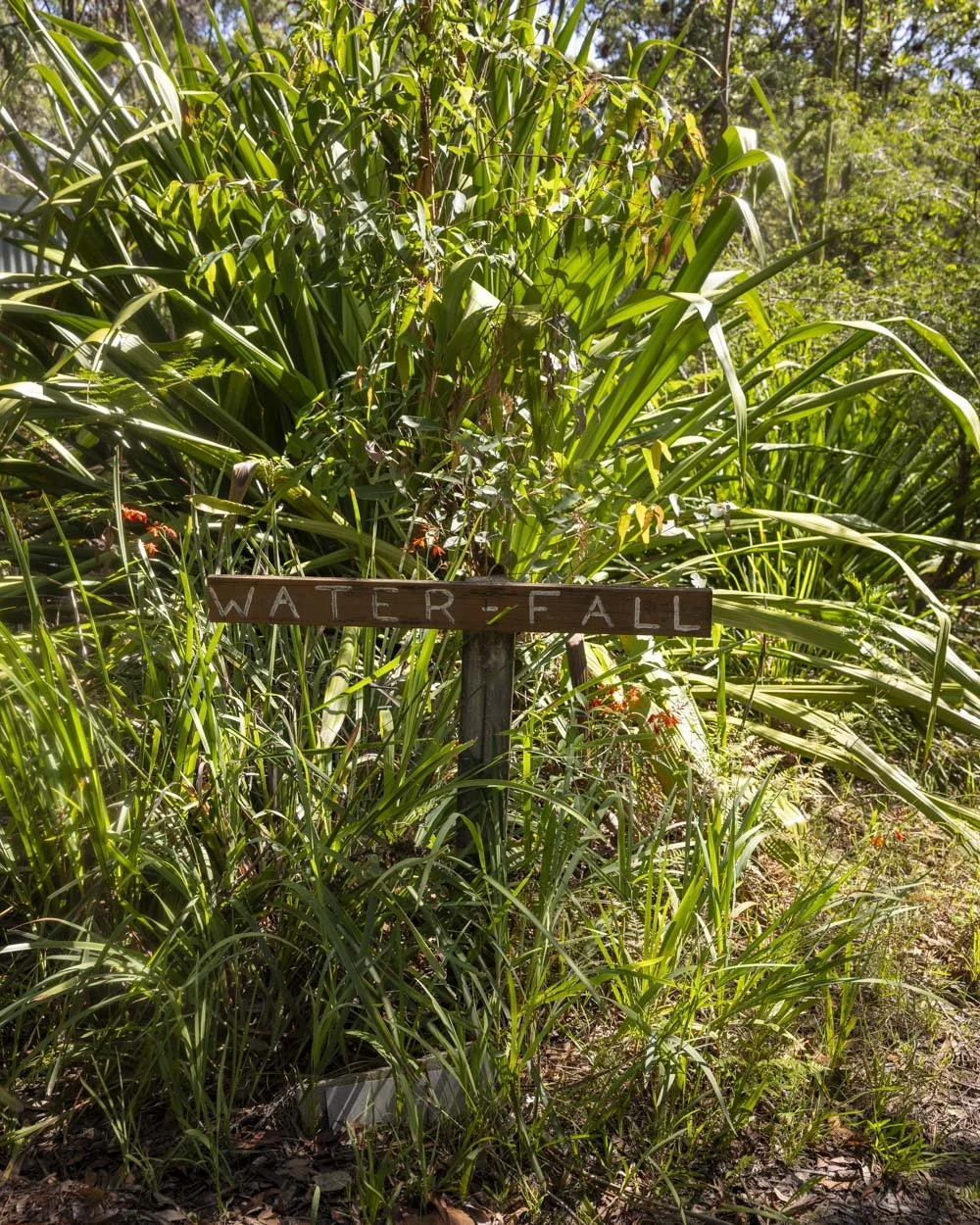
The path narrows and heads between dense Gymea lilies, which would be wonderful when they are in bloom.
The path gets more rustic from here with a short eroded section beginning at the 250m mark.
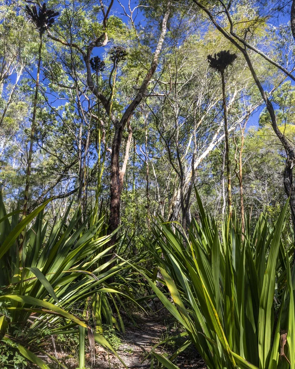
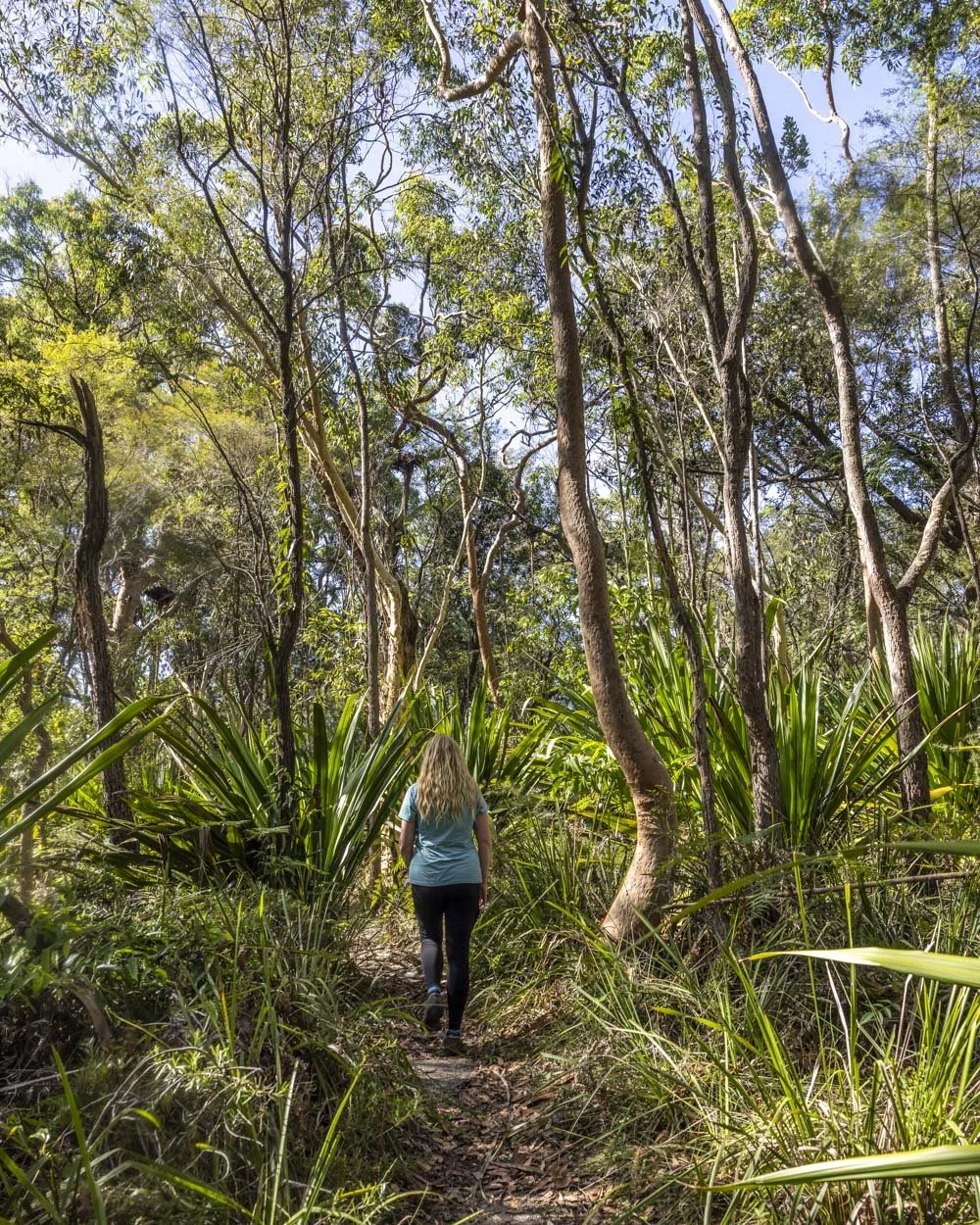
It’s a little rocky as you begin the very short descent to the falls.
As it flattens there’s a bit of mud after rain but you can skirt around it for the most part.
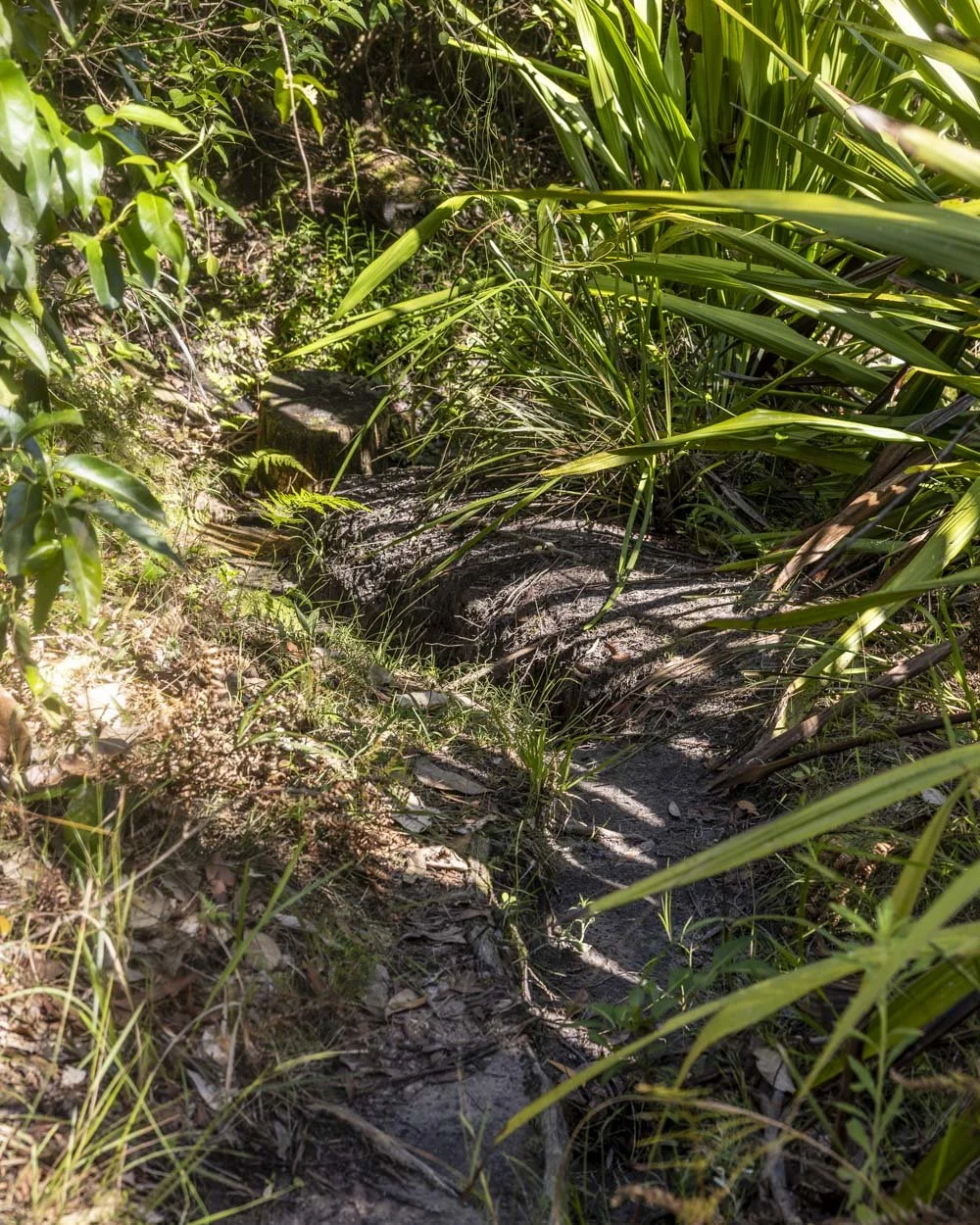
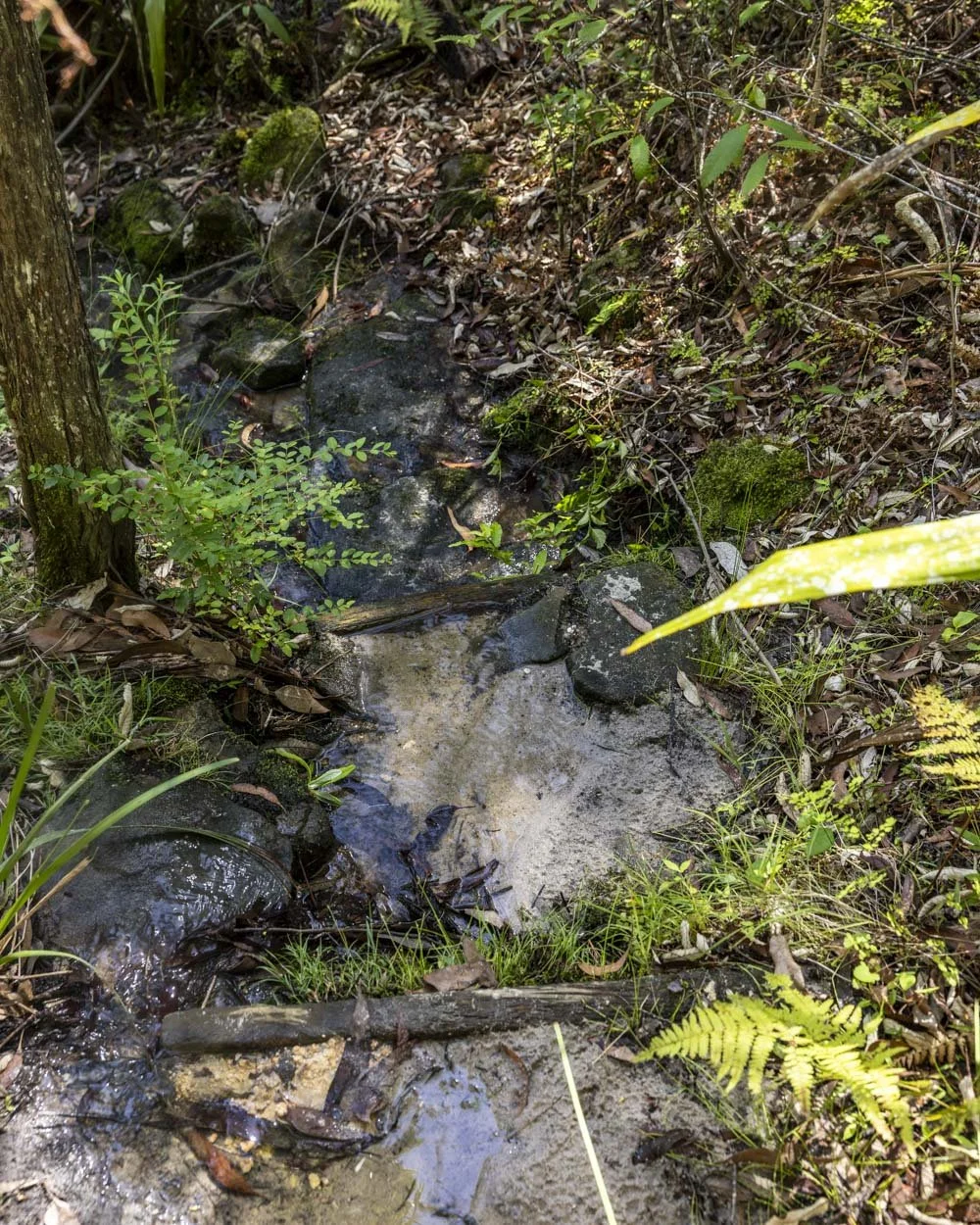
At the 325m mark you’ll come to a bit of a derelict boardwalk and the falls are now just 25m away.
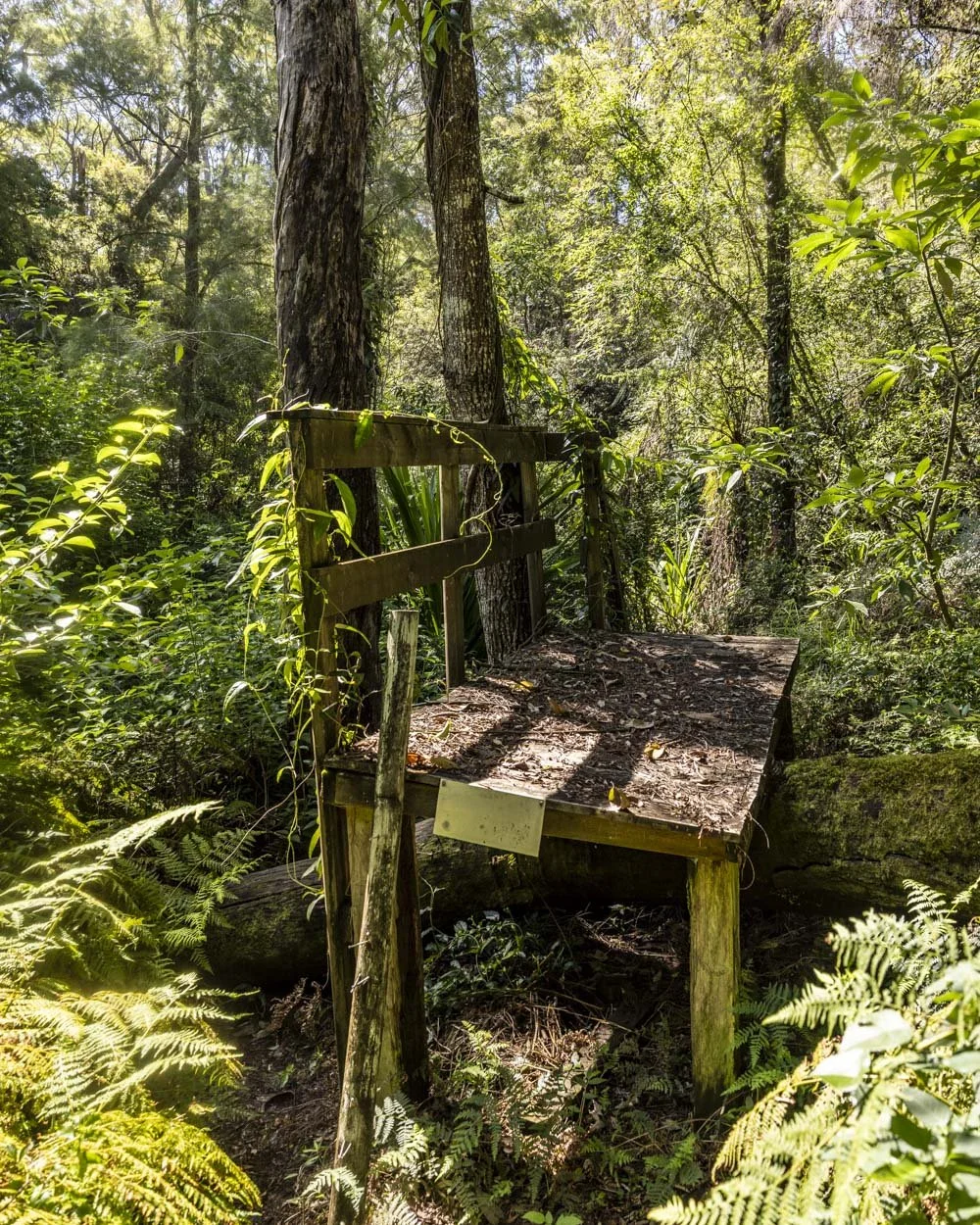
Easiest access to the little sandy area beside the waterfall is by crossing the creek, which has plenty of rocks to use as stepping stones.
Ironbark Falls
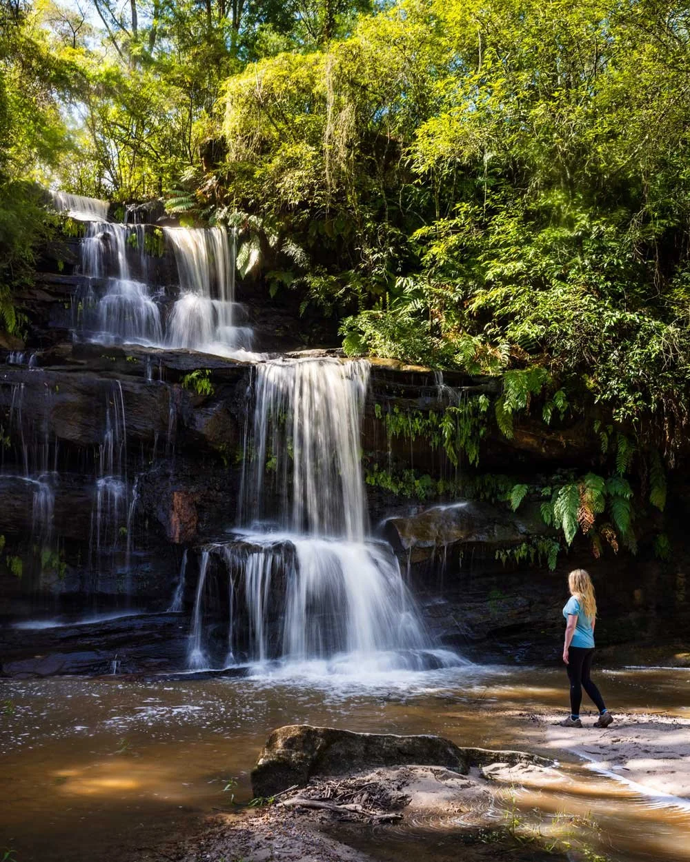
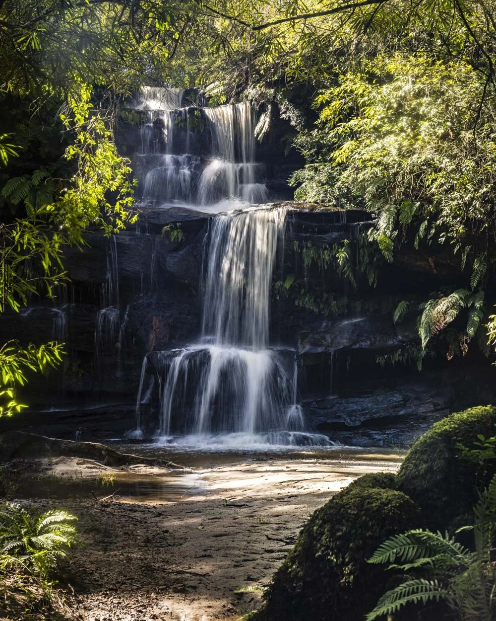
Ironbark Falls is spectacular after rain and as the catchment for the waterfall is large it really does roar.
The ferny cliffs walls and surrounding greenery create a beautiful setting and the only slight disappointment is that there is no swimming hole at the base.
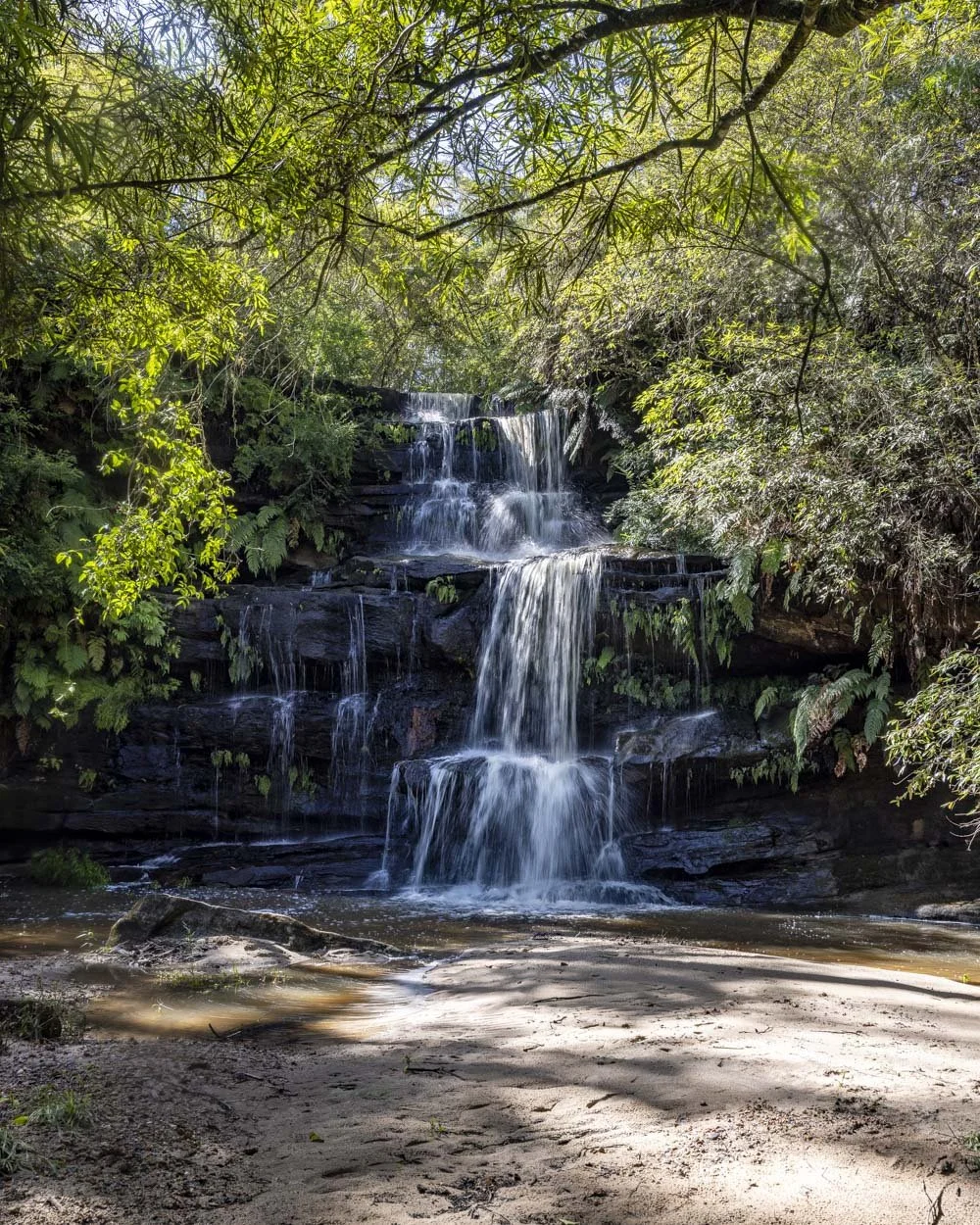
There is a sandy beach which is a nice spot to relax, though it does reduce in size after rain.
It’s a gorgeous spot and I’m always surprised that no one is ever there when we visit.
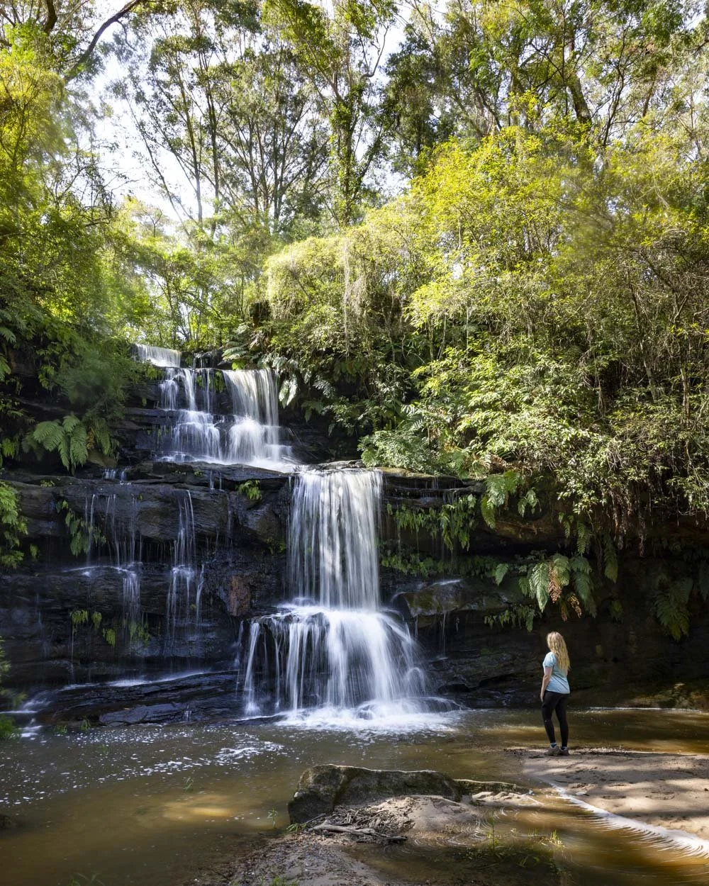
You might notice the remains of an old walking track that continues from the western side of the falls, but this is no longer in use and now crosses private property, so you need to return to your car the way you came.
On our first visit to the falls we encountered leeches on the track, but there were none at all this time around and there had been plenty of recent rain. With that in mind I would keep an eye out but not be overly worried about them.
Where to park for the Ironbark Falls Track
There is no official car park for the walk, you need to park off the side of Ironbark Road (in Mangrove Mountain) at these coordinates: -33.334023, 151.182768 you can see it here on Google maps.
There is plenty of room for several cars to pull fully off the road, but please remember never to block any gates.
It’s around a 1 hour 10 minute drive from Sydney and 1 hour 20 minutes from Newcastle.
This post may contain affiliate links, meaning at no additional cost to you, that we will earn a small commission if you click through and decide to make a purchase. This helps towards the costs of running our website. Thanks for your support.
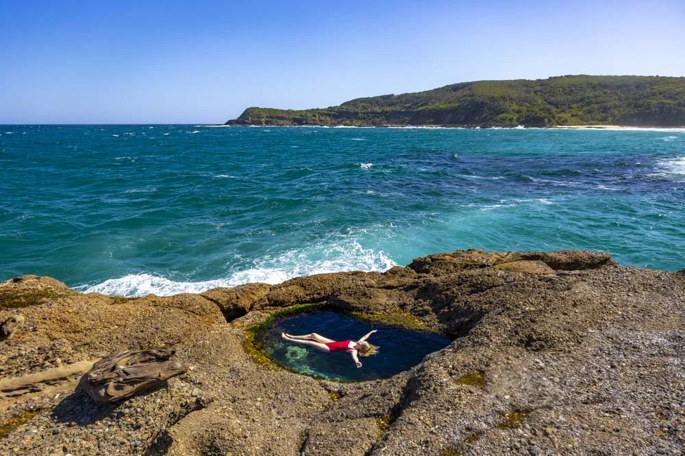




Everything you need to know about visiting one of the best dog friendly areas on the Central Coast, Strickland Falls. We’re sharing how to see the waterfall in flow as well as details on the walking tracks.