
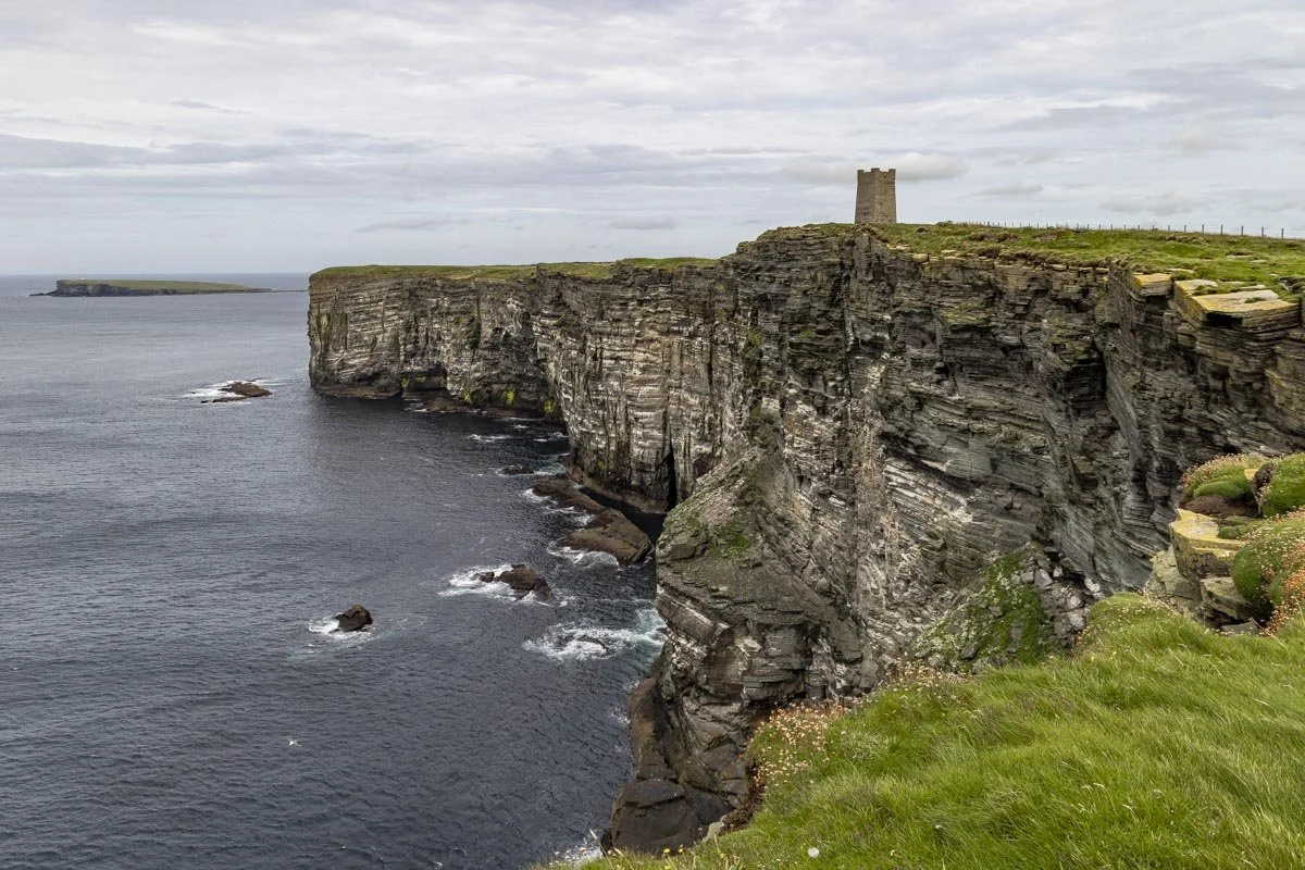
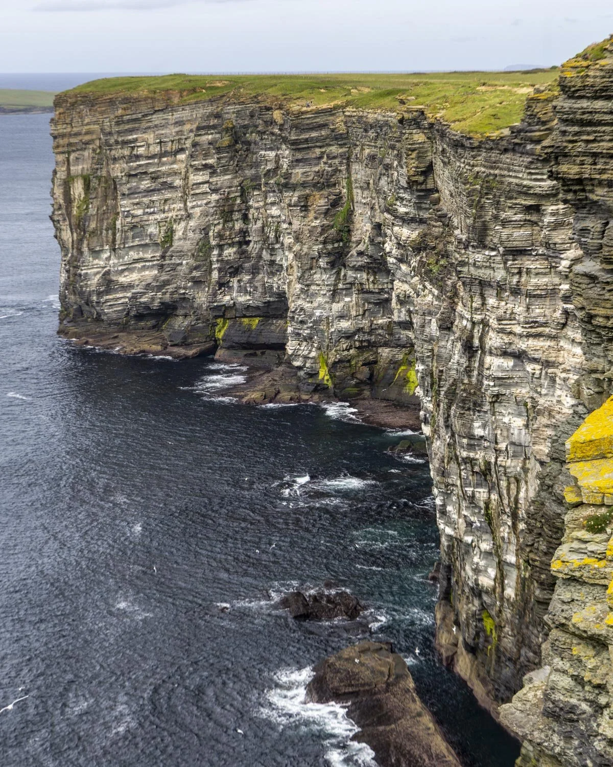
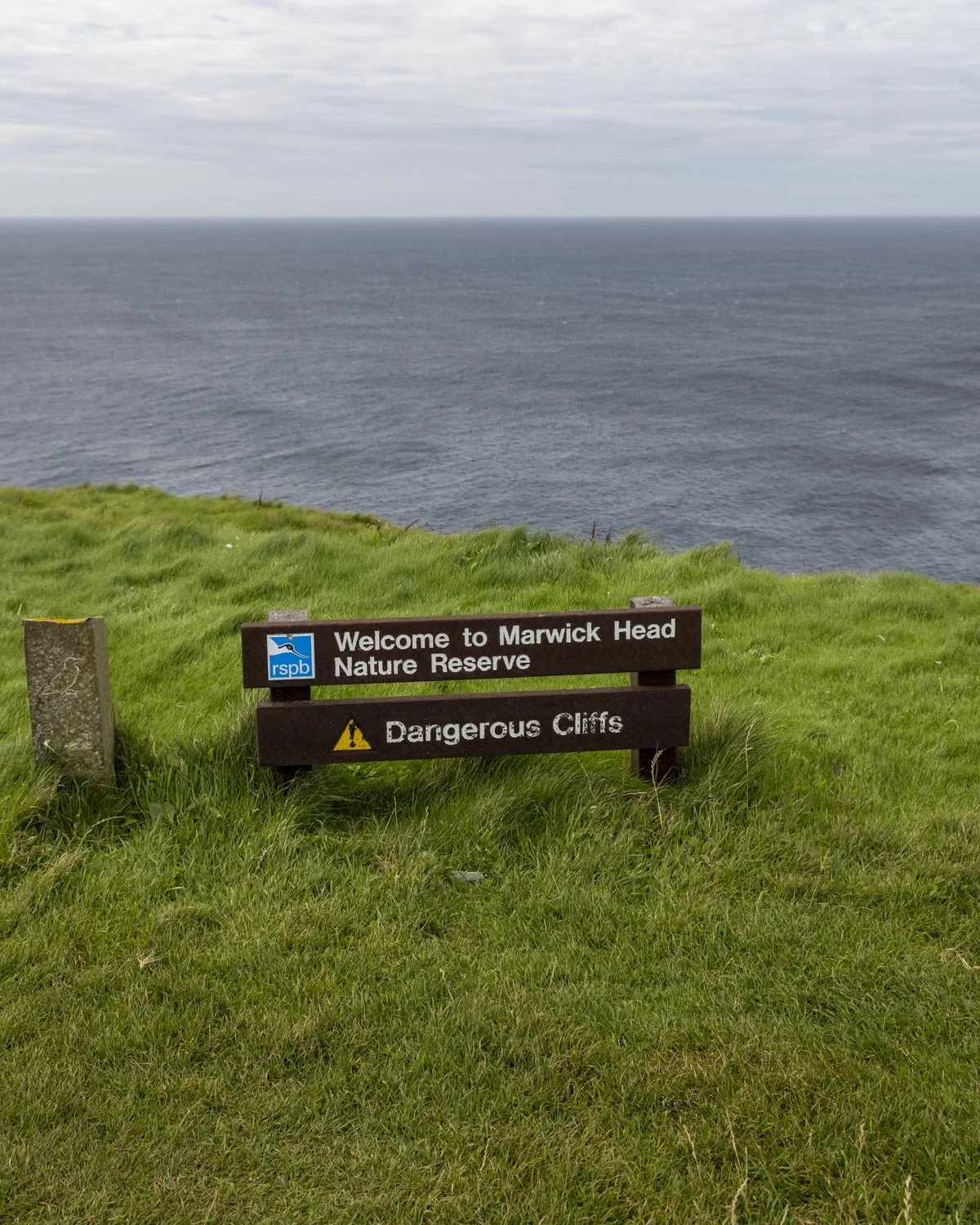
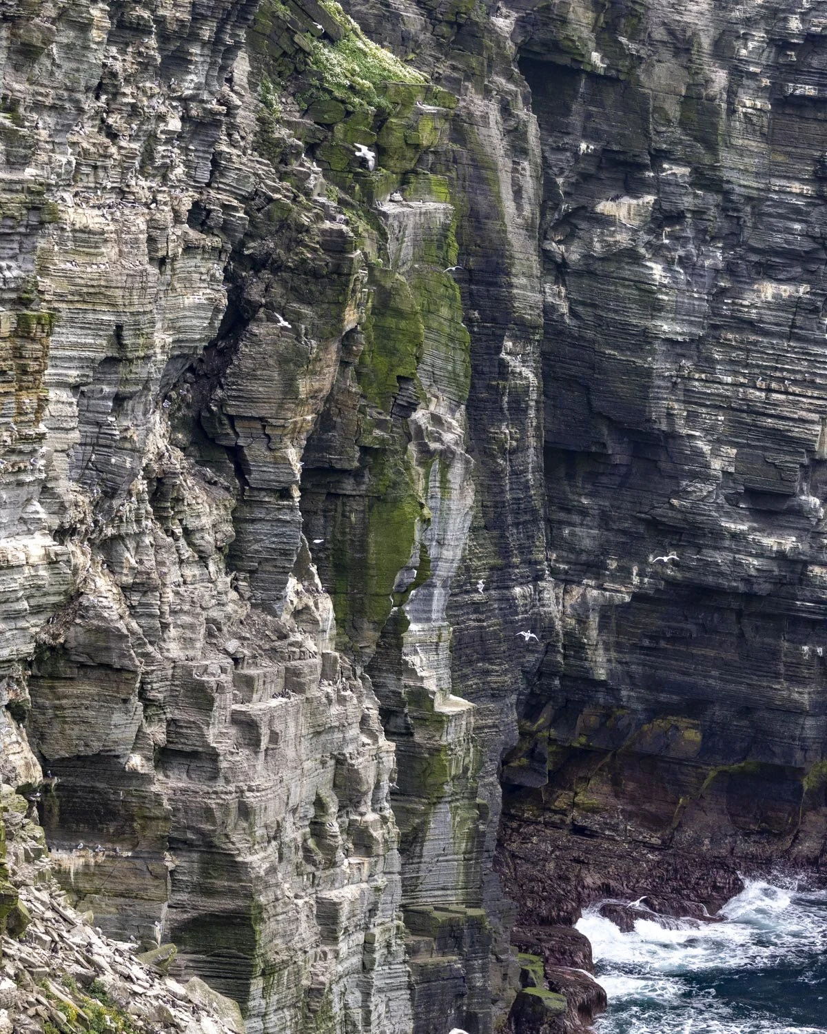
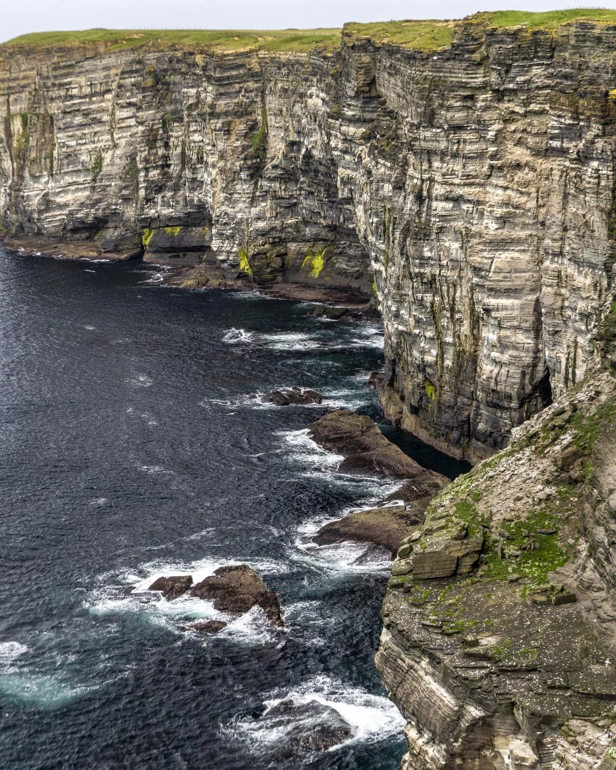
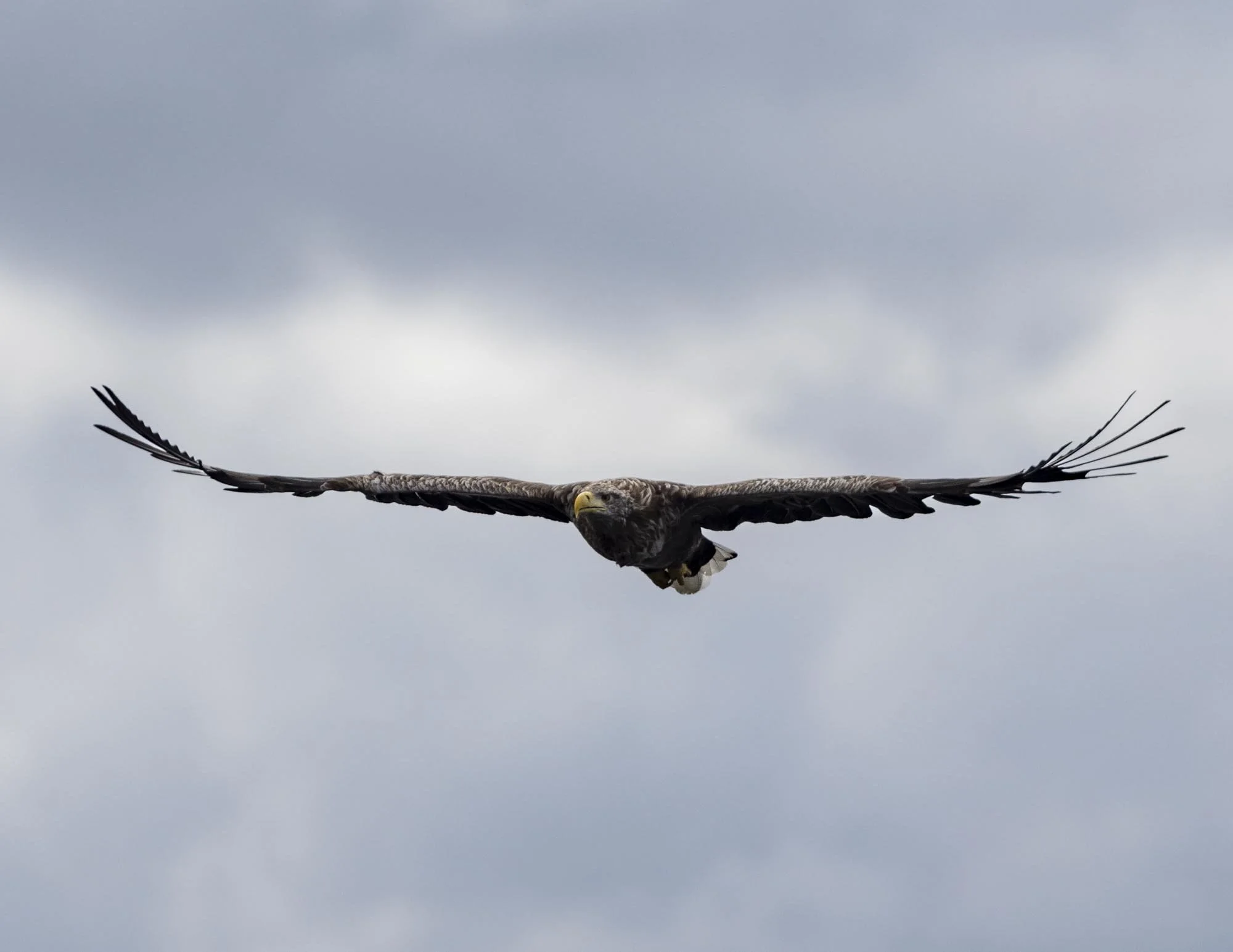
The scene from the cliff tops at Marwick Head looks like something from a National Geographic documentary and we weren’t even there in peak season for wildlife. The size of the cliffs, the rolling waves and the sheer number of seabirds darting in and out of the crevices and soaring on the updrafts was truly amazing to witness. I can only imagine what it might be like between May and July when numbers rise to 25,000!
You definitely don’t need to be an avid bird watcher to be impressed by the scenes; we aren’t and we both loved it.
Though you could do a short walk up to the cliff tops and back, this easy circular walk offers great sea views and the chance to visit some old fisherman’s huts which adds a bit more variety to the trail.
The Marwick Head Circular Walk
The stats
Distance: 1.6 miles return, or 3.4 mile (5.4km) circular
Elevation gain: 150m
Difficulty: Easy, but not flat
Trailhead: Kitchener Memorial Parking
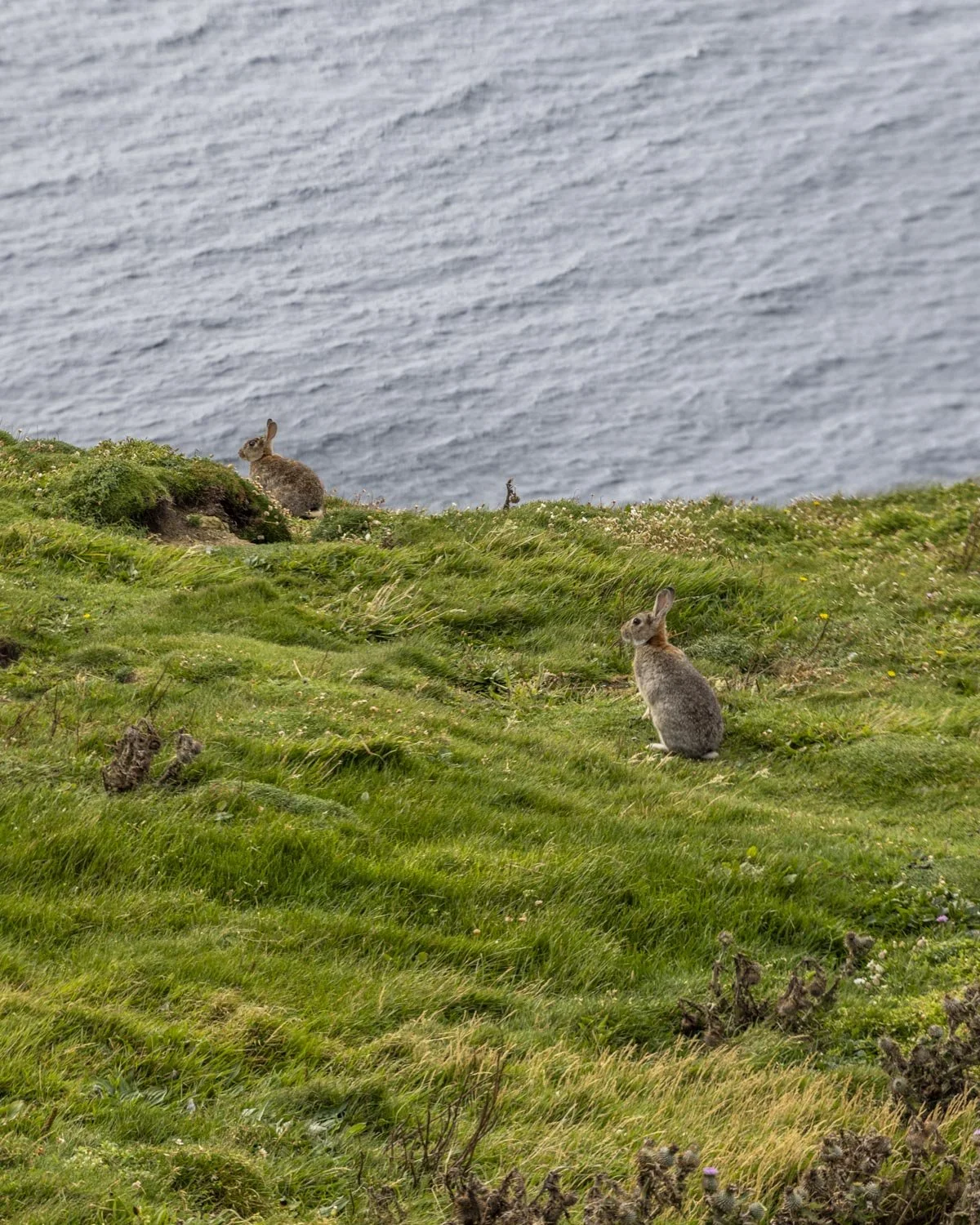
Summary: The Marwick Head circuit has a couple of hills to climb, but none are sustained so it’s not difficult. The track is a mix of grassy and dirt paths and though some sections are a bit muddy, it’s wasn’t too boggy even after prolonged heavy rain. There are frequent rabbit burrows along the cliff tops and you need to watch out for them so you don’t twist an ankle.
The descent from the cliff tops to the shoreline is a little steep at points, but the path was not slippery, though the terrain is very uneven.
The final section has a short stretch of path with a large number of stinging nettles which are starting to encroach on the trail - trousers are better than shorts for this one - however, you could walk back on the quiet road instead of the footpath if preferred.
Starting the trail: the climb to Marwick Head
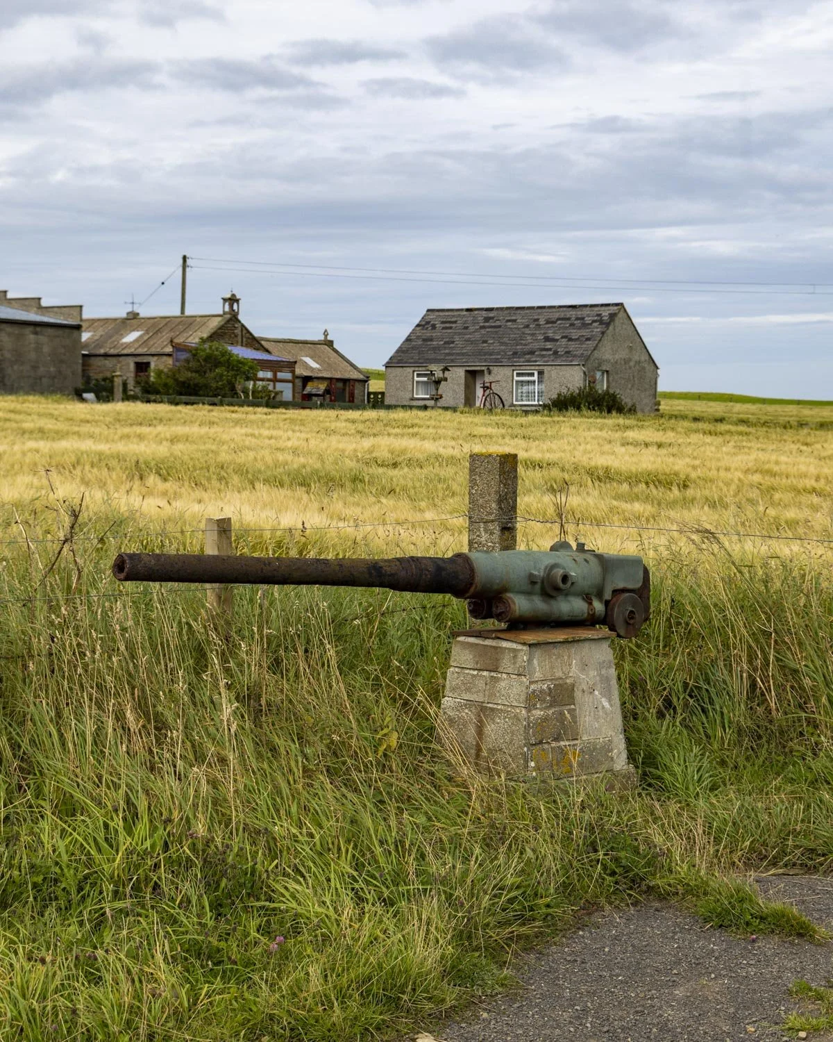
From the car park, beside the big artillery gun, you follow the marked path gently uphill to a gate at the 200m mark. A narrow trail now leads between the fields as you climb the 400m up to Marwick Head.
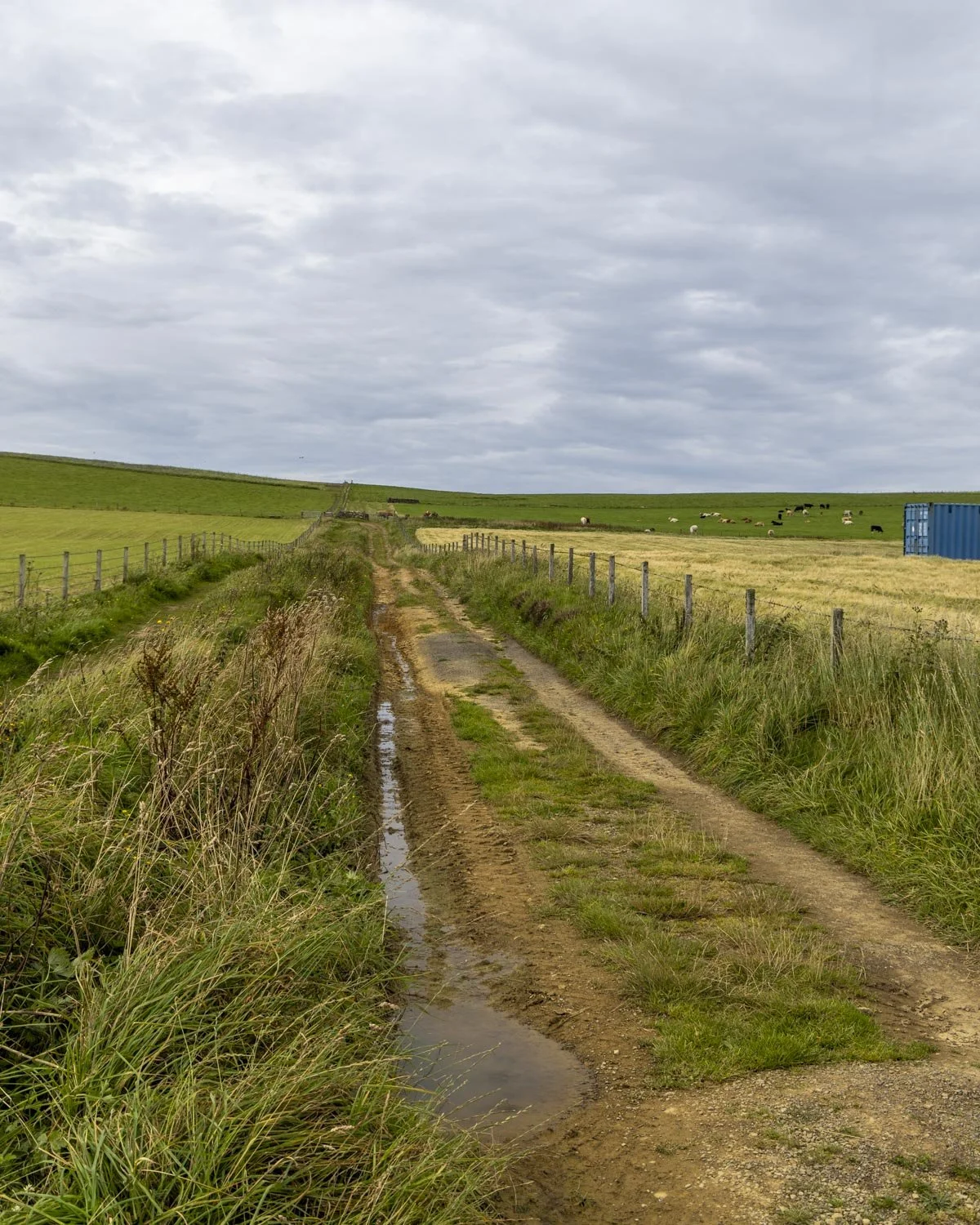
It’s a little steep, but it’s only a very short climb and then you will reach the top and head left towards Marwick Head, where the path now predominantly flattens.
This whole section along the cliff tops is littered with rabbit burrows so you need to make sure you don’t step in one and twist an ankle!
The ground can be quite spongy but was not too muddy which was a surprise as our visit was after many days of heavy rain.
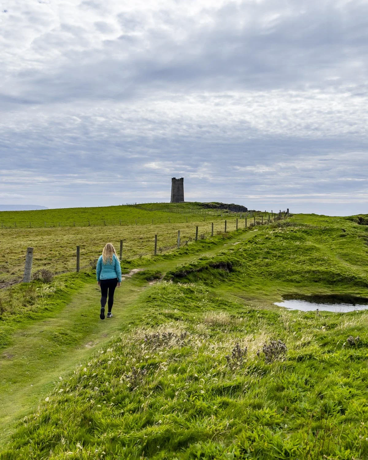
The sea views are great but it’s around 150m into the cliff top section where you reach our favourite part of the whole walk, the seabird cliffs.
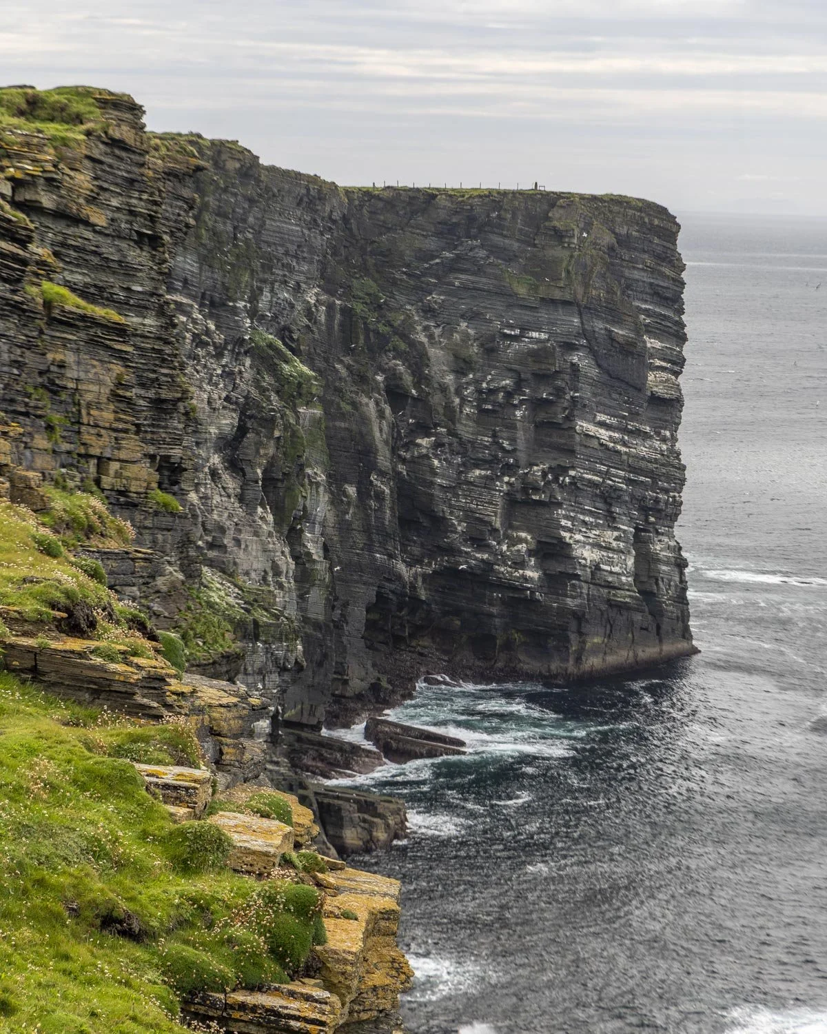
Along the cliff tops
This is where you will find the scenes that reminded us of a nature documentary, with hundreds of fulmars soaring over the cliffs and nesting in the crevices (the photos don’t pick up the numbers at all!).
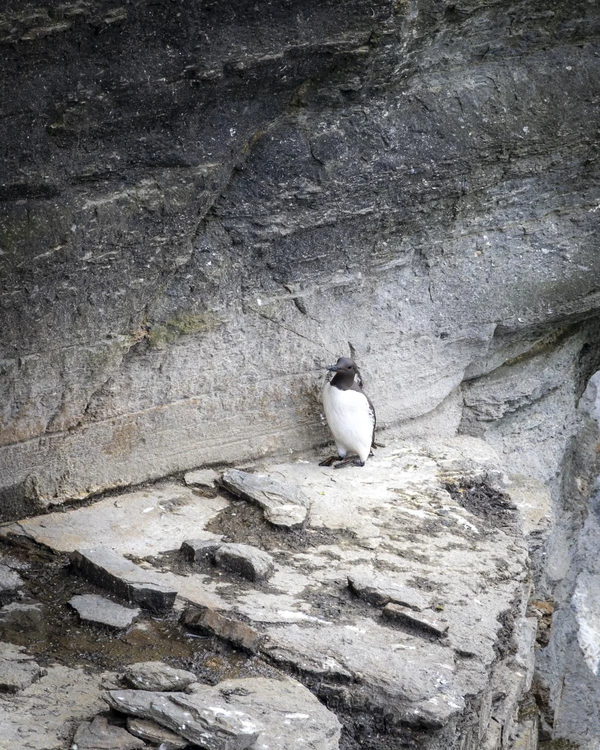
We also saw kittiwakes and guillemots, but only a few stragglers as we were visiting in August when the majority of birds had already moved on.
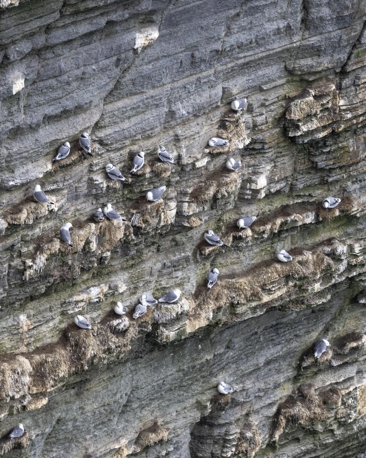
Earlier in the season (May to July) you would also be able to spot puffins and razorbills and the numbers would be huge compared to when we visited.
And that really would be quite something because we thought it was fabulous even in August. The moody skies only added to the atmosphere and seemed quite fitting for the kind of scene you would normally expect to see on a wildlife watching boat trip rather than an easy cliff top walk!
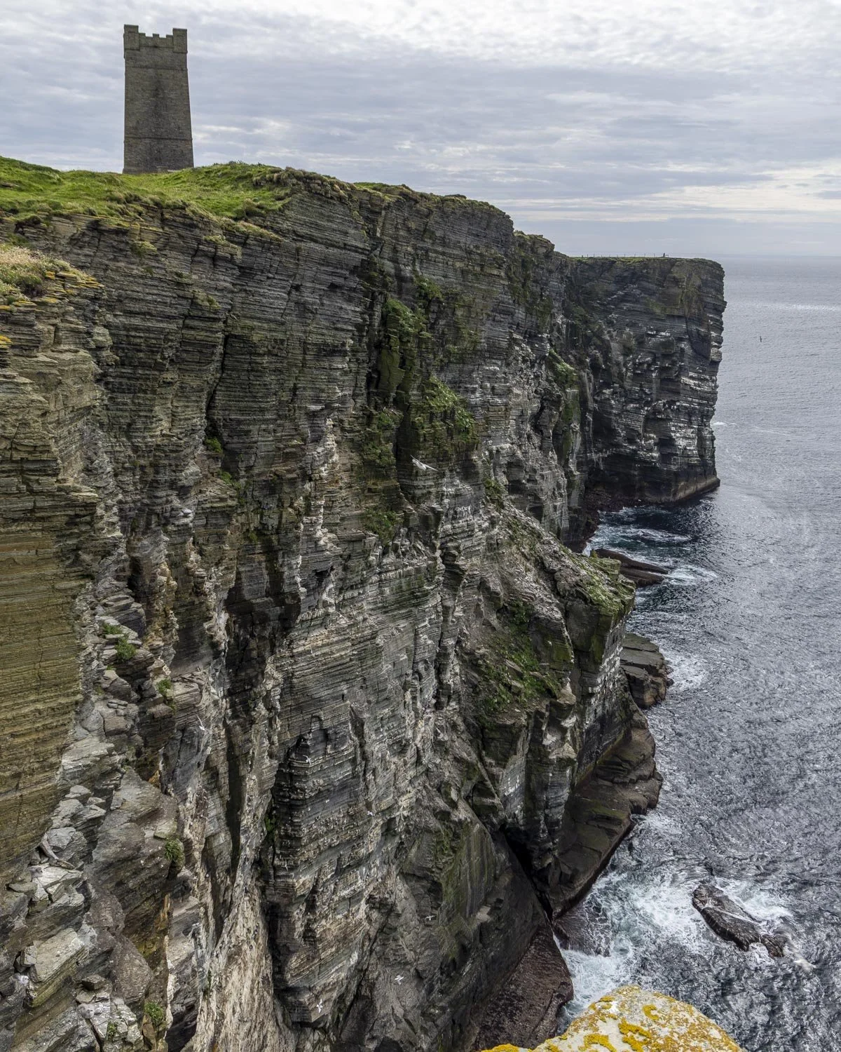
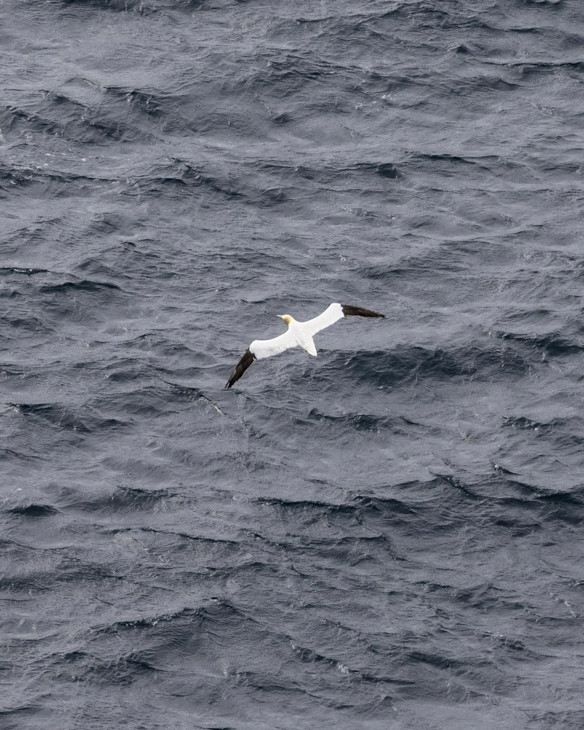
One thing to note about this whole section along the cliffs though is that there is a huge drop and no safety railings.
The spongy ground and burrows are still a hazard right up close to the cliff edge, so it does require care, but as long as you’re mindful it’s an amazing experience.
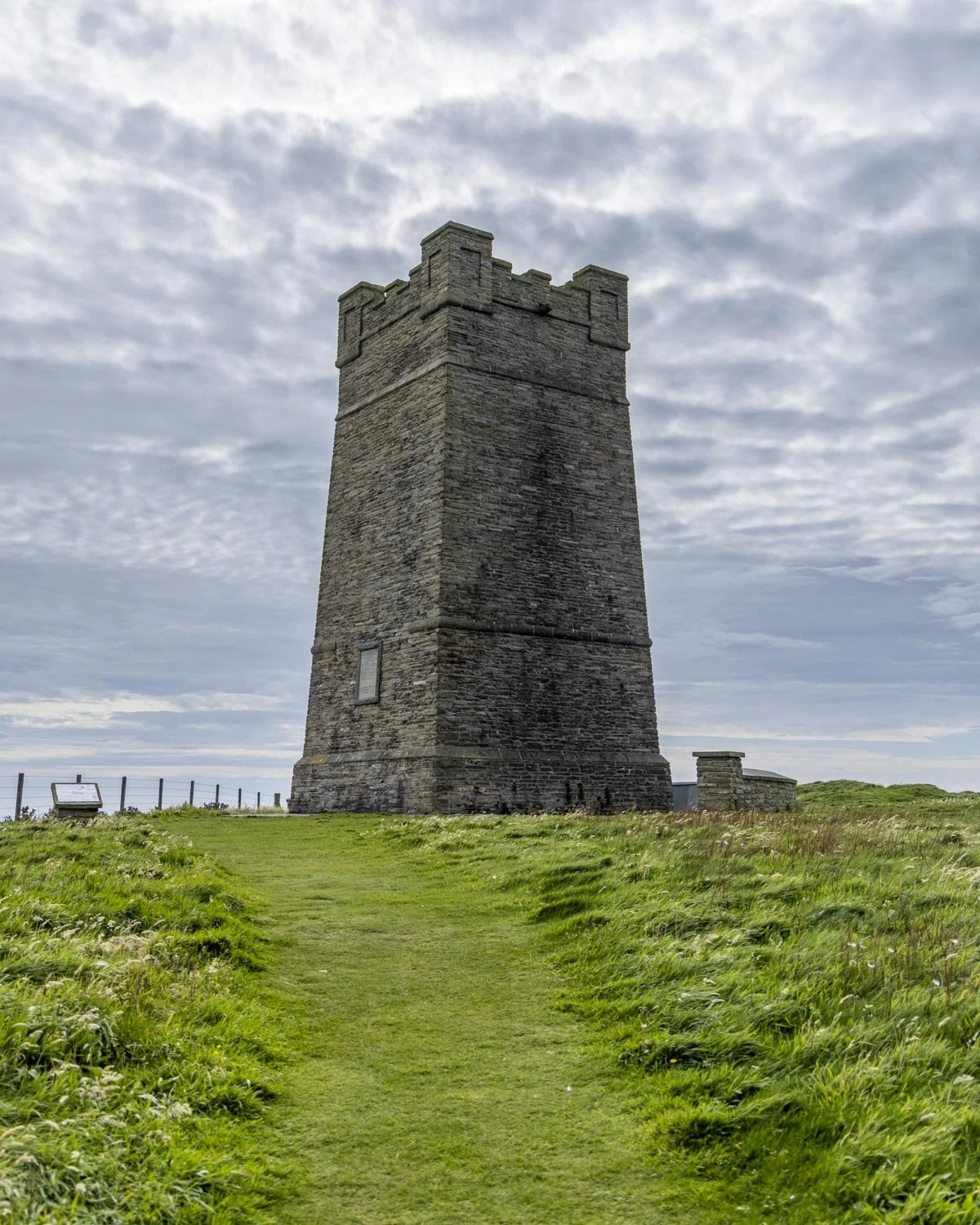
The cliffs with the majority of birds run for just under 500m, passing the Kitchener Memorial along the way.
If you were only interested in seeing the birdlife you would turn at this point and head back to the car which would make the return walk a distance of 1.6 miles (2.6km).
Descending to the beach
The path now begins descending from the cliff tops towards the beach. There were still a few birds along this stretch, but a handful, rather than hundreds.
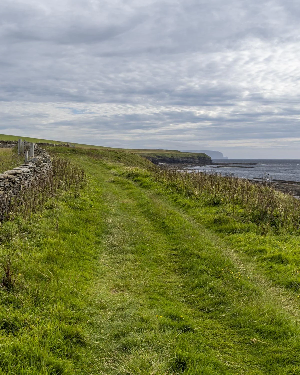
You have fields on your left and the sea on your right, with some interesting rock formations along the way.
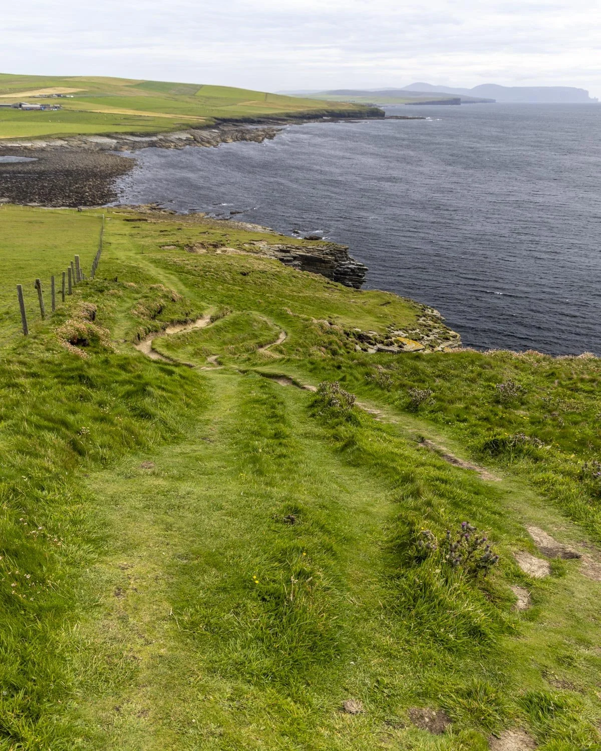
The path down is a little steep at points but it wasn’t slippery even though it was wet. It’s mainly a grassy track with some sections of dirt and one very short section where it had uneven mud ‘step’s formed in the grass.
You’ll pass five lots of standing stones as you descend, though most are just a single stone. You’ll reach the end of the descent at the 1.2 mile (2km) mark, so it lasts for around 600m in total.
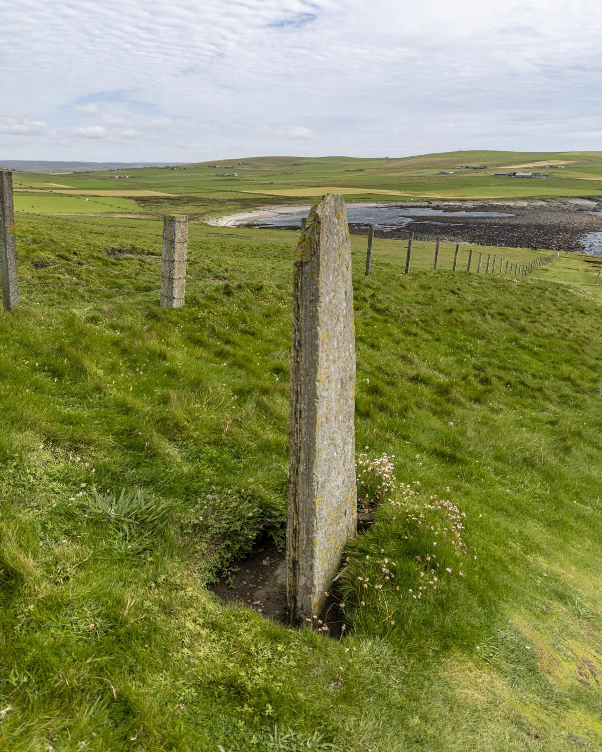
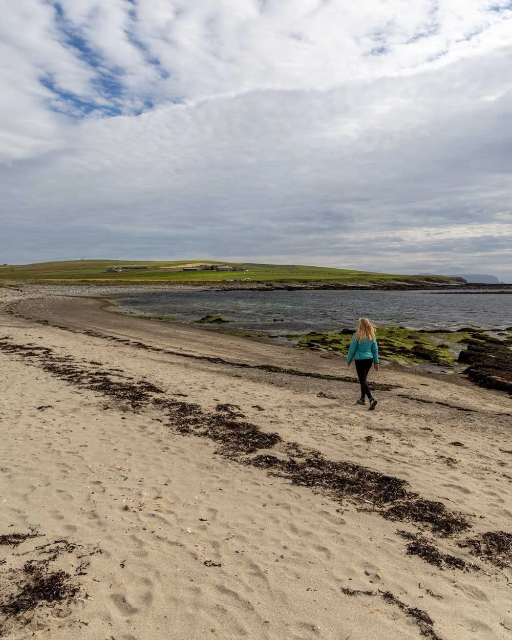
From the bottom of the hill the path heads left and after 250m you will reach the beach and a junction. Going left will complete the loop track while going straight will take you on a detour to the old fisherman’s huts.
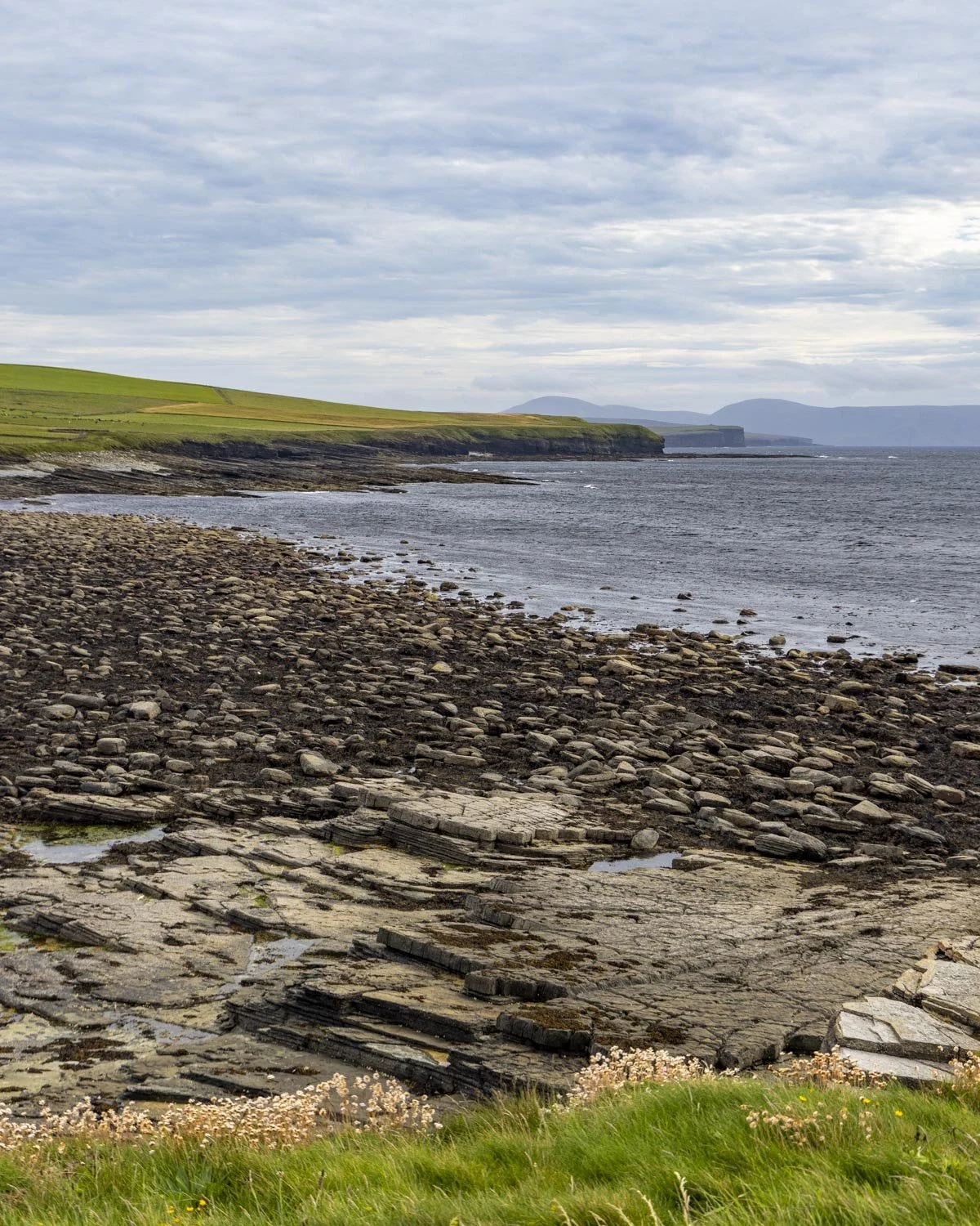
The detour to the fisherman’s huts
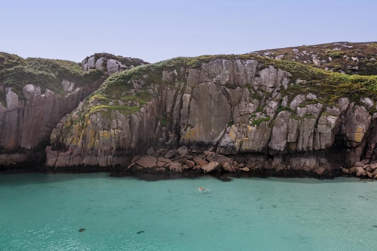
The huts are just over a 0.7 mile (1.1km) walk from the junction (making it a 1.4 mile detour in total). The path is almost entirely flat.
At low tide you can walk along the sand, though it does give way to rock hopping towards the end, so you might want to stay up on the track at this point.
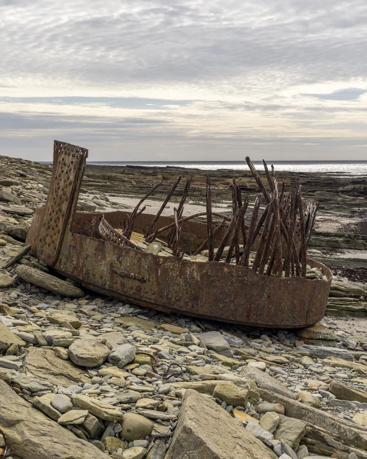
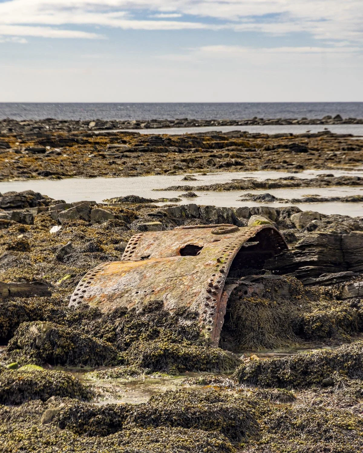
You will pass the remains a shipwreck, 450m from the junction. After doing a little research, these small pieces of metal were part of the SS Monomoy, a steamship that was heading to Edinburgh from New York in 1896 after bad weather caused her to be wrecked just off Marwick Head.
While the remains don’t look like much, they were part of a ship that was over 300 feet long and carrying over 3,200 tons of cargo.
Anyway, back to the walk. The path continues along the coast with some gorgeous sea views before arriving at the fisherman’s huts 700m later.
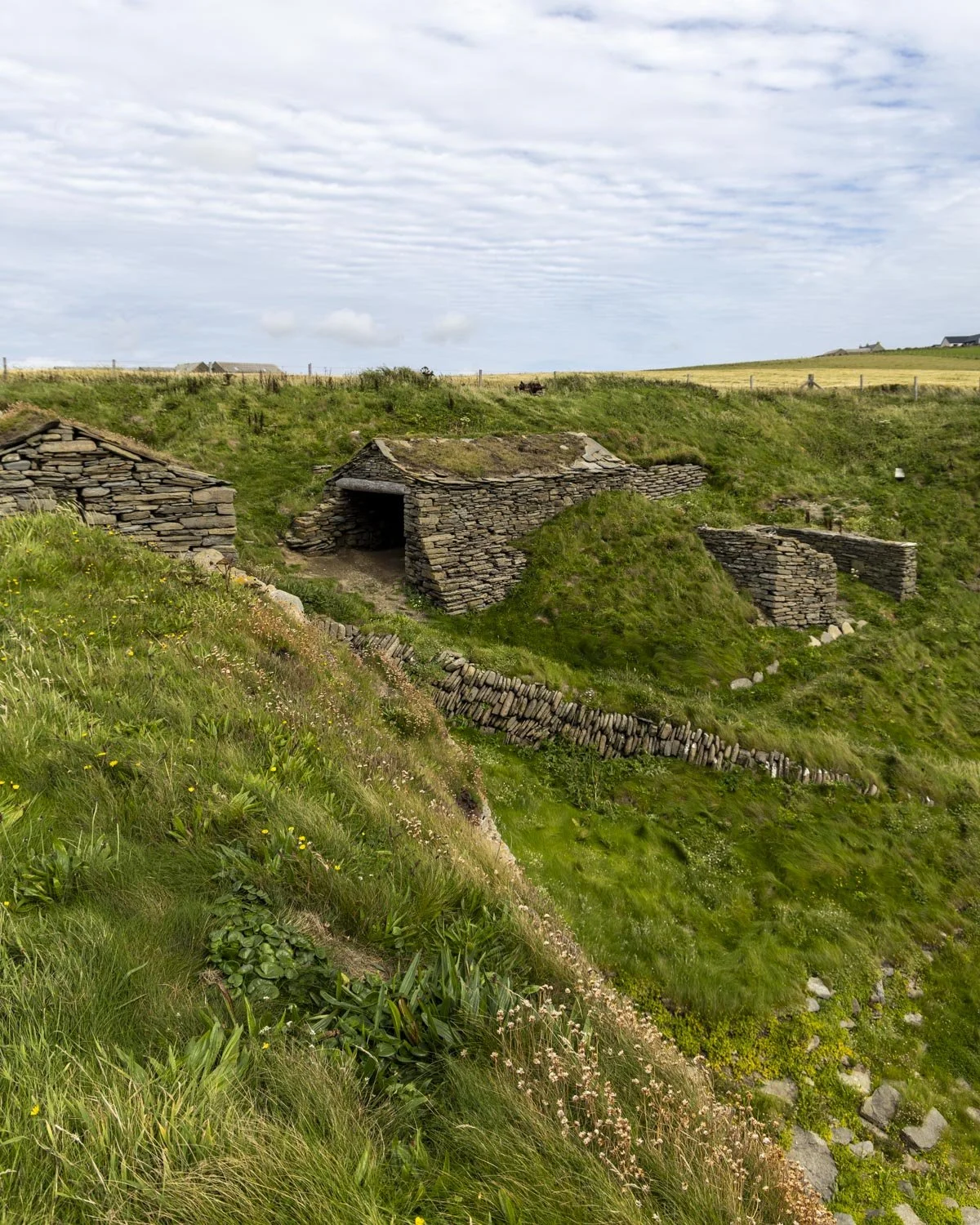
There are three huts in total (two built in the late 1800’s and one in the early 1900’s) and you can walk inside all of them.
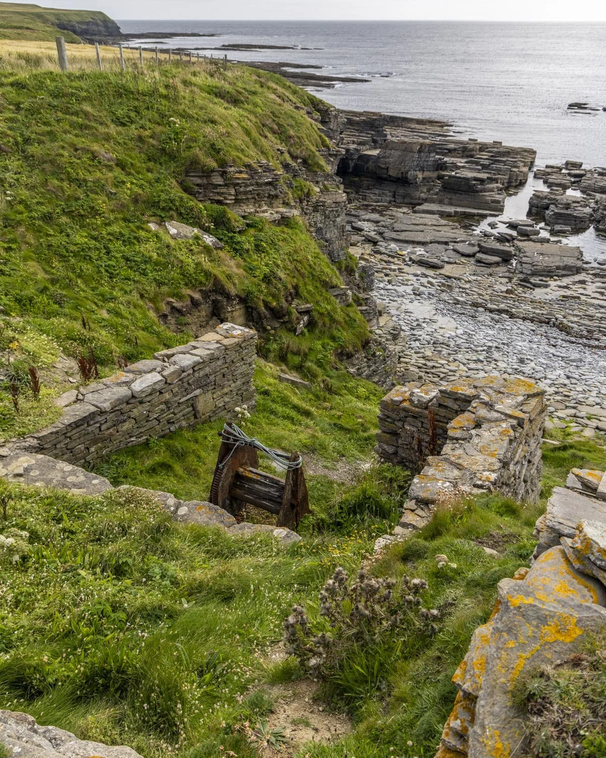
There’s also the rusting remains of the old winch set just above the one of the far right when you have your back to the sea.
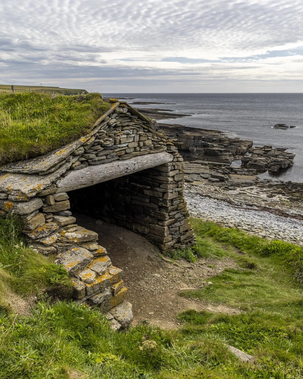
There’s nothing left inside the huts but it’s still an interesting piece of Orkney’s history and the bay they are set on is picturesque, making it a nice rest stop before completing the circuit.
Completing the circuit
From the huts you return the way you came, back along the path behind the beach and you will come to the short section of footpath which has stinging nettles encroaching on the trail.
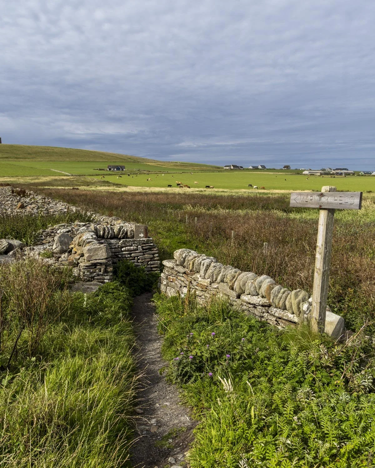
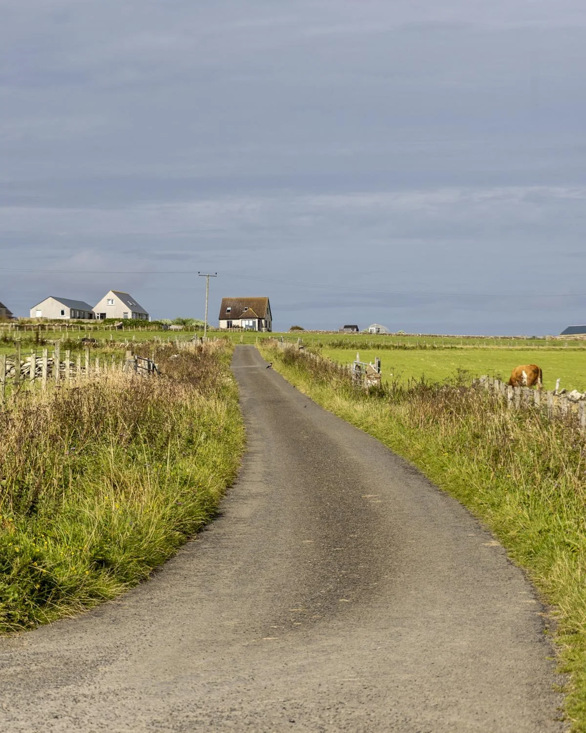
It’s not awful (we didn’t get stung) but we were both wearing trousers! When you reach the road head right and then then 400m later, at the fork, head left. You will arrive back at the car park just under 500m later.
Where to park for the Marwick Head Circular Walk
There is a small car park for the trail which is called the Kitchener’s Memorial Car Park, postcode KW17 2ND, you can see it on Google maps here. It’s free of charge and there is no time limit. There are no facilities at the car park or anywhere along the trail.
It’s around a 25 minute drive from Stromness and 35 minutes from Kirkwall.
This post may contain affiliate links, meaning at no additional cost to you, that we will earn a small commission if you click through and decide to make a purchase. This helps towards the costs of running our website. Thanks for your support.

The scenes from the cliff tops at Marwick Head look like something from a National Geographic documentary and we weren’t even there in peak season for wildlife! We’re sharing directions, trail conditions and when to see the most birdlife.