
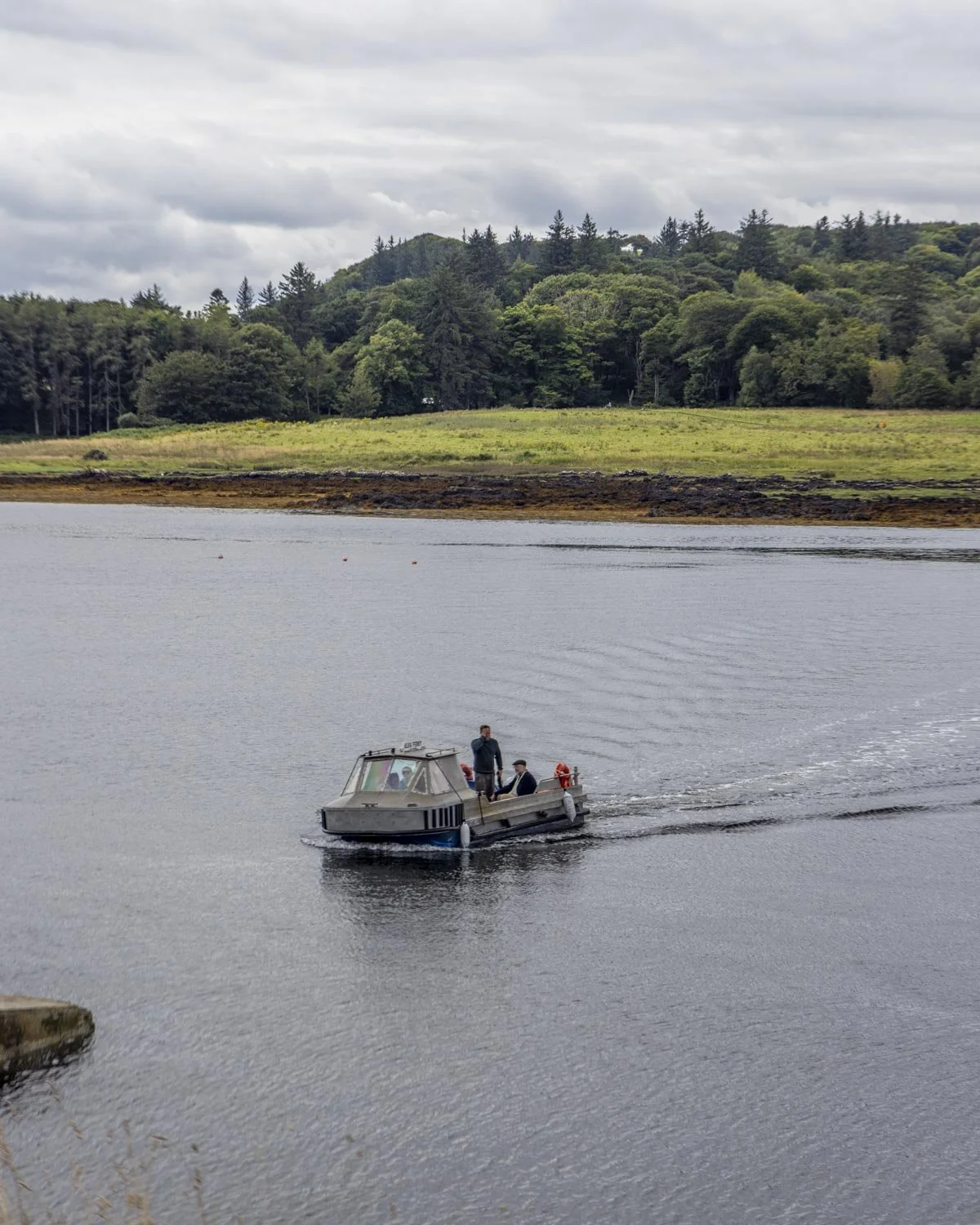
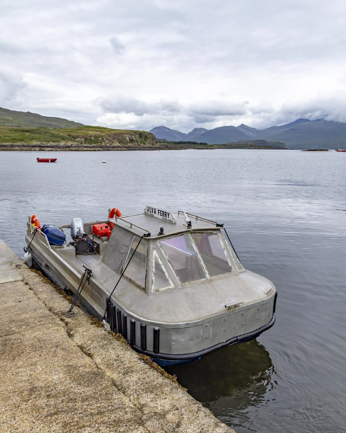
Even getting to Ulva Island feels like something from a storybook as you’ll need to signal the ferry operator by sliding a wooden panel from white to red! The journey is only three minutes long, but it’s a quaint beginning to a fabulous walk which showcases some of the best scenery Ulva has to offer.
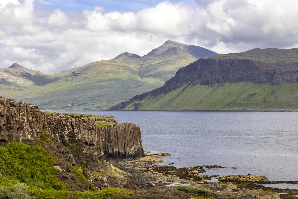
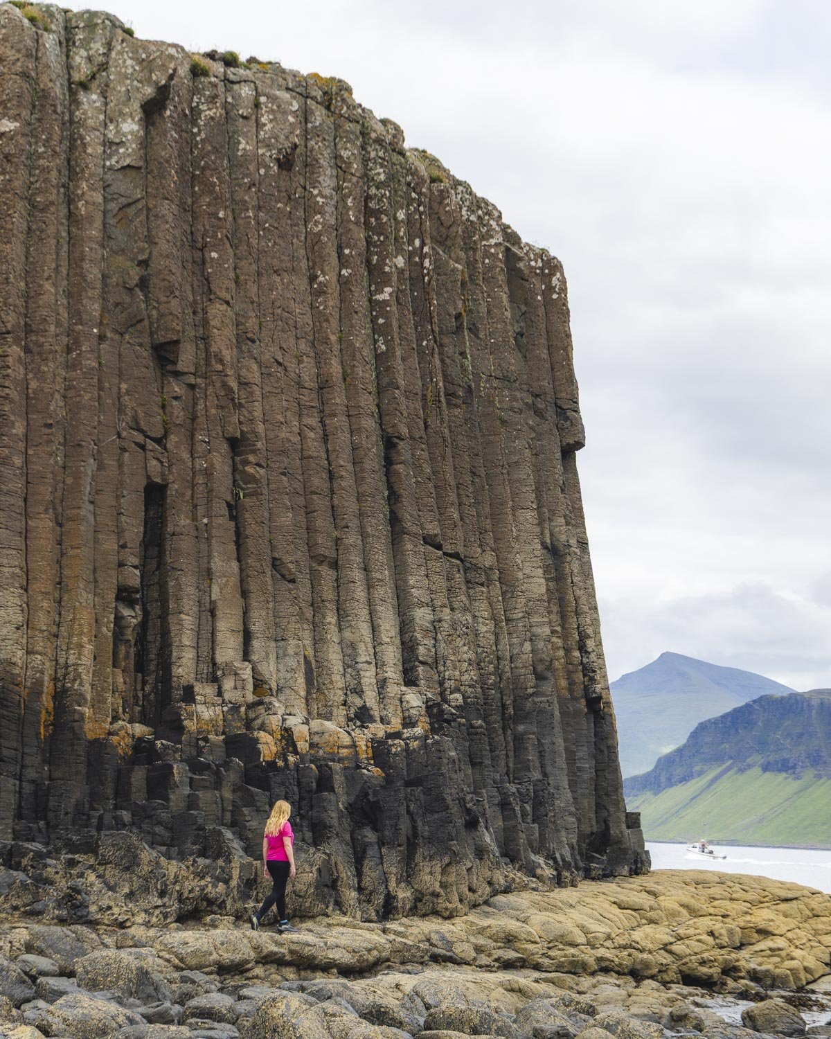
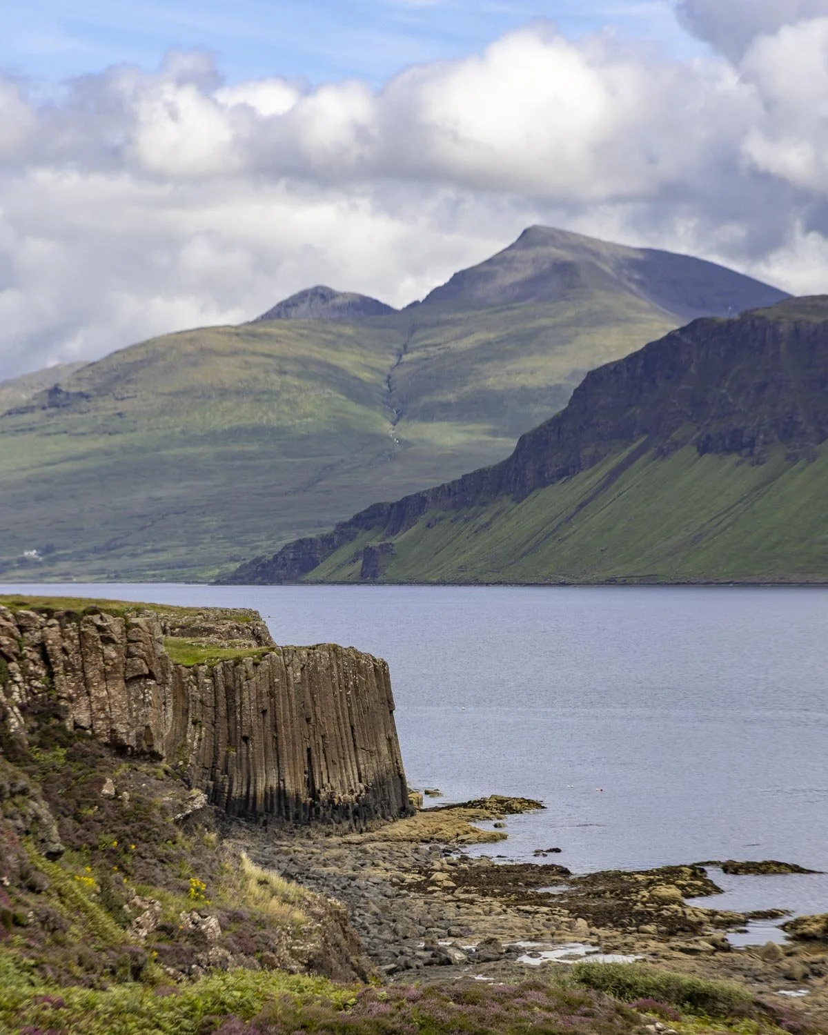
From incredible basalt columns - which are a bit like a miniature Staffa Island - to a cave once inhabited by humans, endless sea views and even a field of hairy coos.
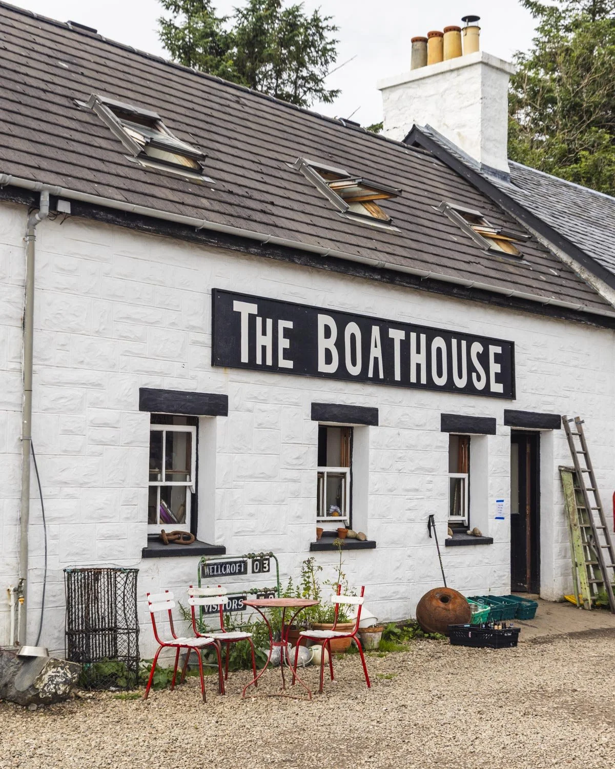
The fact that you can start or end your walk with a visit to The Boathouse - one of the most delightful places we ate on our trip to Scotland - is the icing on the cake.
Here’s everything you need to know about the walk and getting to the island.
Getting to Ulva Island
The little passenger ferry to Ulva departs from the Ulva Ferry Landing on the west coast of Mull - around a 45 minute drive from Craignure. There is a donation based car park a few minutes walk from the wharf and there are toilets located just before the wharf. The car park is a reasonable size, but spaces can be hard to find in the middle of the day in peak season.
The little passenger boat only takes a few minutes to cross over to Ulva and you can request a pick up by sliding the wooden panel at the wharf from white to red.
The ferry runs on demand between 9am and 5pm, Monday to Friday from 1st April to 31st October. It’s best to check this website to see if that remains the same for your visit. At time of writing it is also operating on Sundays in peak season.
The current price for an adult return ticket is £8, payable on reaching Ulva.
The Livingstone Walk, Ulva
The stats
Distance: 5 mile (8.5km) circuit
Elevation gain: 295m
Difficulty: Moderate
Trailhead: Ulva Ferry Landing
Summary: The Livingstone Walk has several uphill sections, but no long steep climbs and plenty of flat track too. The terrain is a mix of gravel farm tracks and grassy or dirt paths. The dirt paths can get very muddy and there are many of them, though the mud was at a level that it only got your shoes not your legs! There are also several boggy sections, though it wasn’t as bad as some of the other walks we did on Mull!
I don’t recommend straying from the paths because we did this when trying to access some extra basalt columns and what started out as ankle deep bog later became much worse.
The main basalt column is not technically on the formal track, but accessing it is not too difficult. It involves a brief rocky descent, but it was much easier than it appeared from above. Getting close to the column requires rock hopping.
Starting the trail: from The Boathouse to Sheila’s Cottage
I know this isn’t really about the walk, but I have to start by mentioning The Boathouse cafe which was the most memorable meal we had in Scotland.
It’s a laid back affair where you eat on picnic benches set beside the water, so you ideally want decent weather to fully enjoy it!
The menu is very minimal and changes depending on the local catch, we tried the cullen skink and mackerel pate and both were delicious and served with homemade bread.
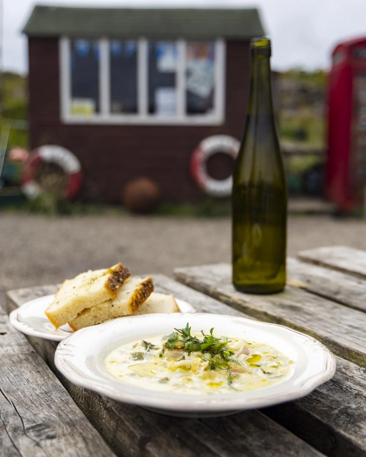
I was actually a bit sad I’d already had a coffee before we arrived because the coffee was very good (as attested to by Joe, a self proclaimed coffee snob) and the homemade cakes looked fantastic too. The Boathouse is only open seasonally, but if you’re lucky enough to visit when it is, don’t miss it!
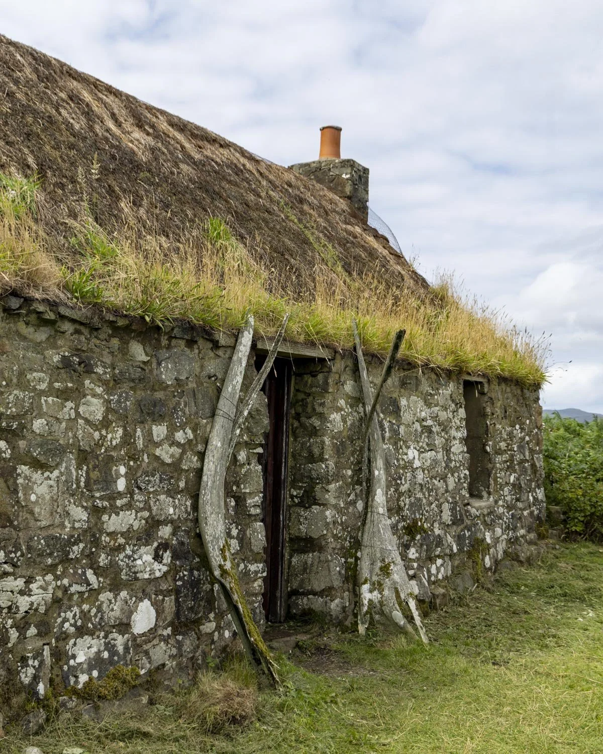
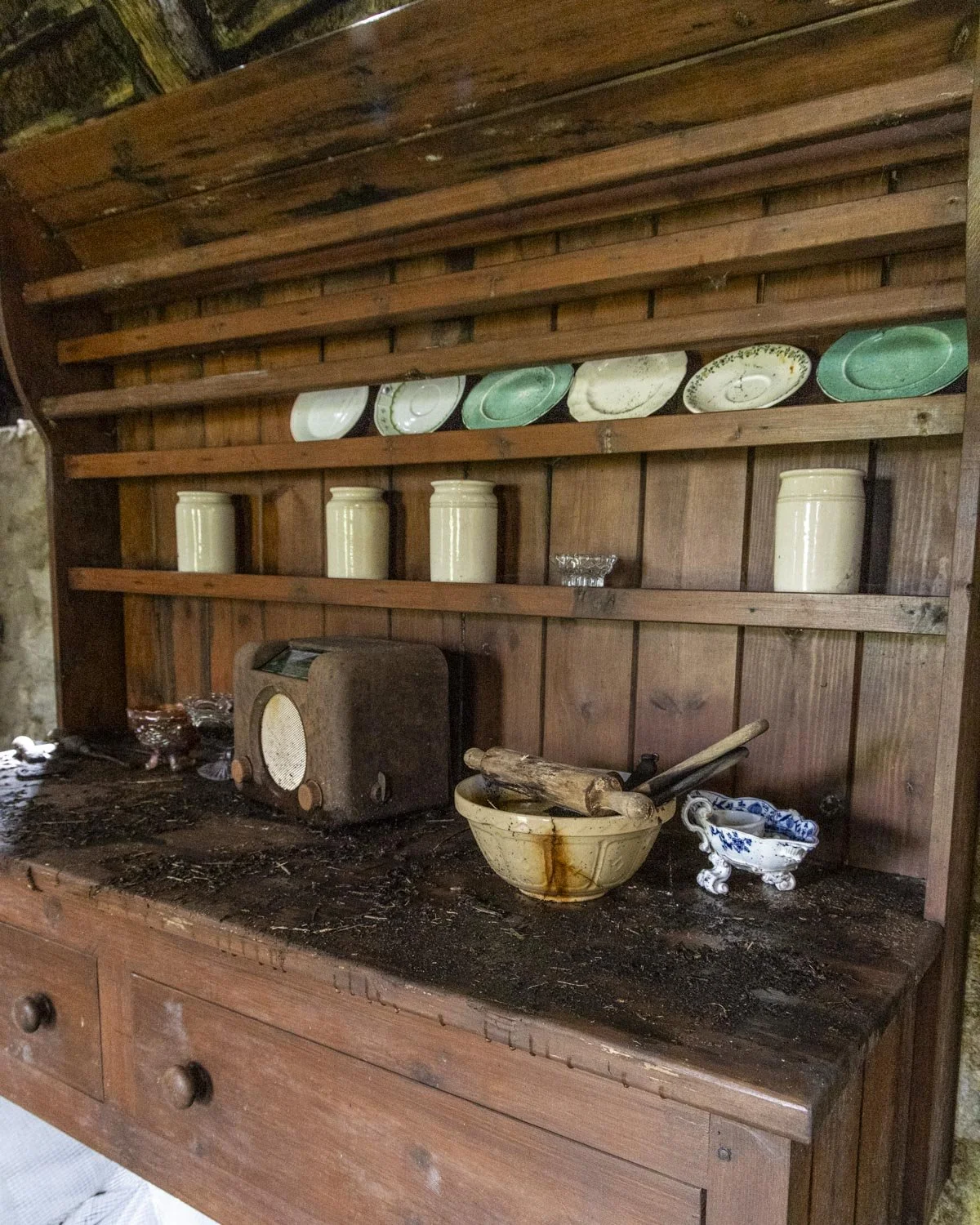
Anyway, onto the walk and you’ll head past The Boathouse on the gravel farm track before coming to Sheila’s Cottage 60m later. It’s worth popping inside to see the last remaining intact thatched cottage on the island. It’s a little worse for wear but I enjoyed having a brief poke around.
Through the forest to the moors
From Sheila’s Cottage the walk continues on the farm track and you will come to a signpost a couple of hundred metres later.
The Livingstone walk continues straight and then bears left at the fork 330m in, and again at the 760m mark.
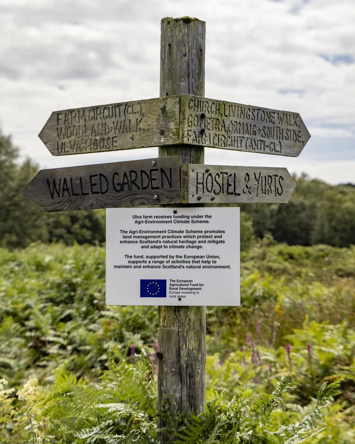
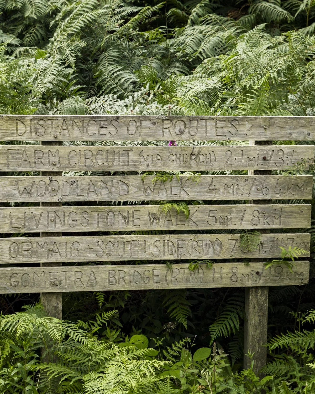
It’s still a gravel farm track which is predominantly flat. You’ll pass through a farm and then turn right immediately after it, it’s at the 0.6 mile (1.1km) mark.
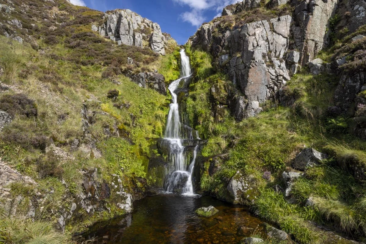
From here the track heads noticeably uphill, into a very pretty patch of mossy woodland complete with it’s own little waterfall - or maybe that’s just because there had been a crazy amount of rain in the preceding week!
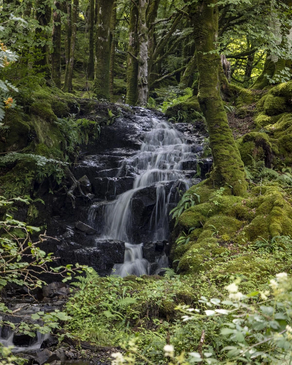
You are still walking on a stony path, so it’s mercifully mud free as you climb up through the woodland for the next few hundred metres.
Just over a mile in (1.65km) you’ll emerge from the forest out into open moorland. The hills had a sprinkling of vibrant heather on our visit in August which made this section very pretty.
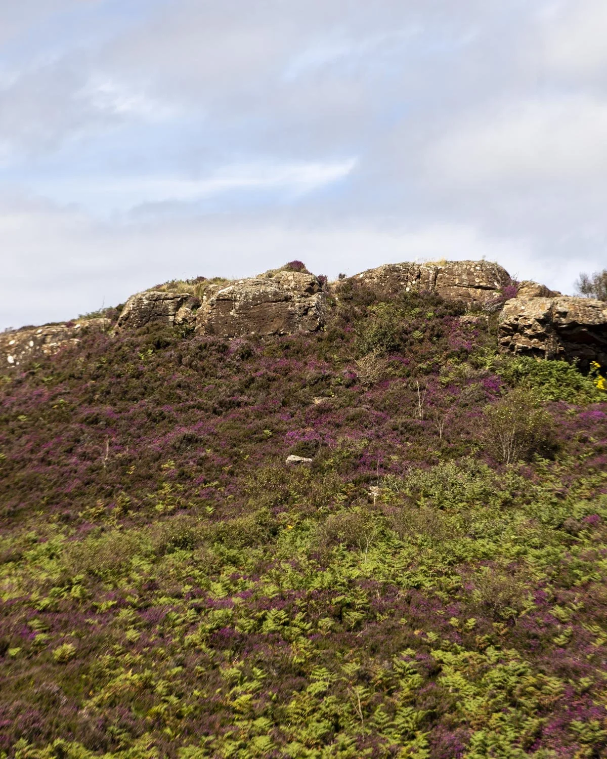
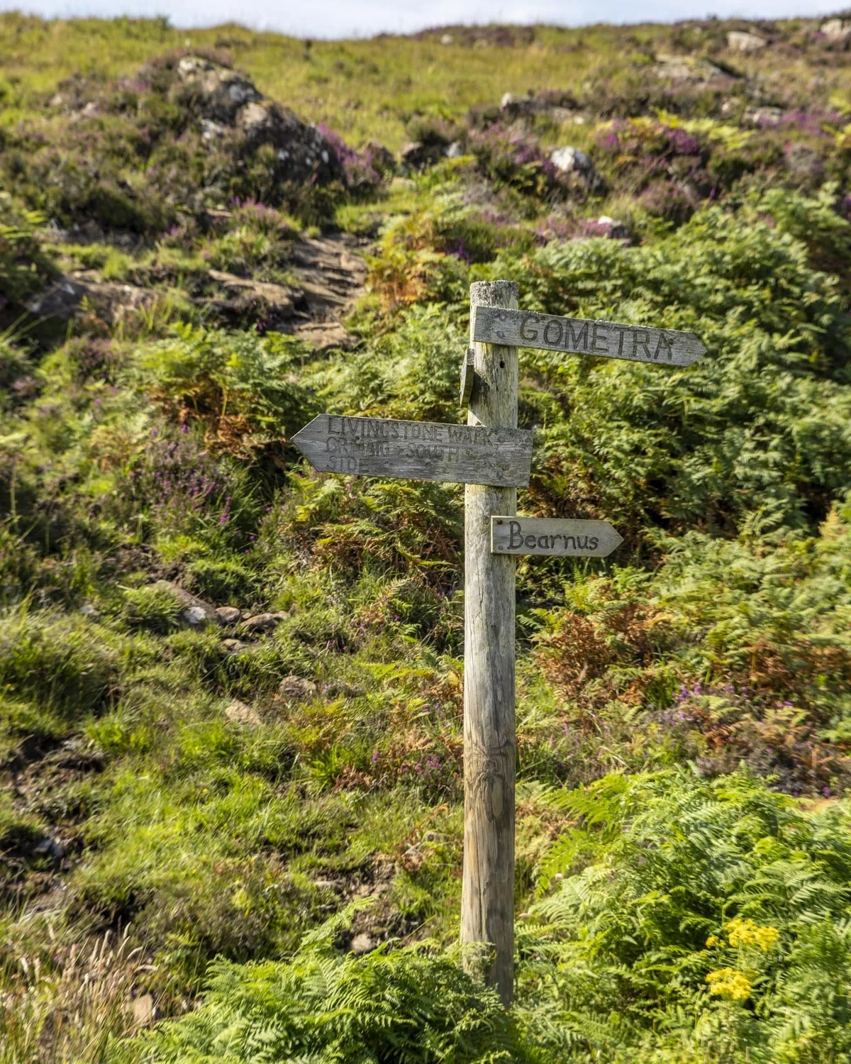
Just over 1.4 miles (2.3km) into the walk you will come to a signposted junction and turn left to stay on the Livingstone Walk.
From here you will get some great coastal views, but the path gets very muddy after rain and it lasted for quite some time!
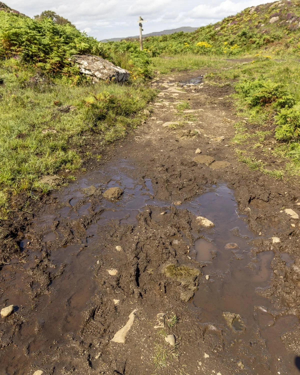
Some of it could be skirted around but much was a mandatory squelch though. It was never above ankle deep though and we encountered much worse on other Mull walks, so I guess by Scottish standards it could be worse!
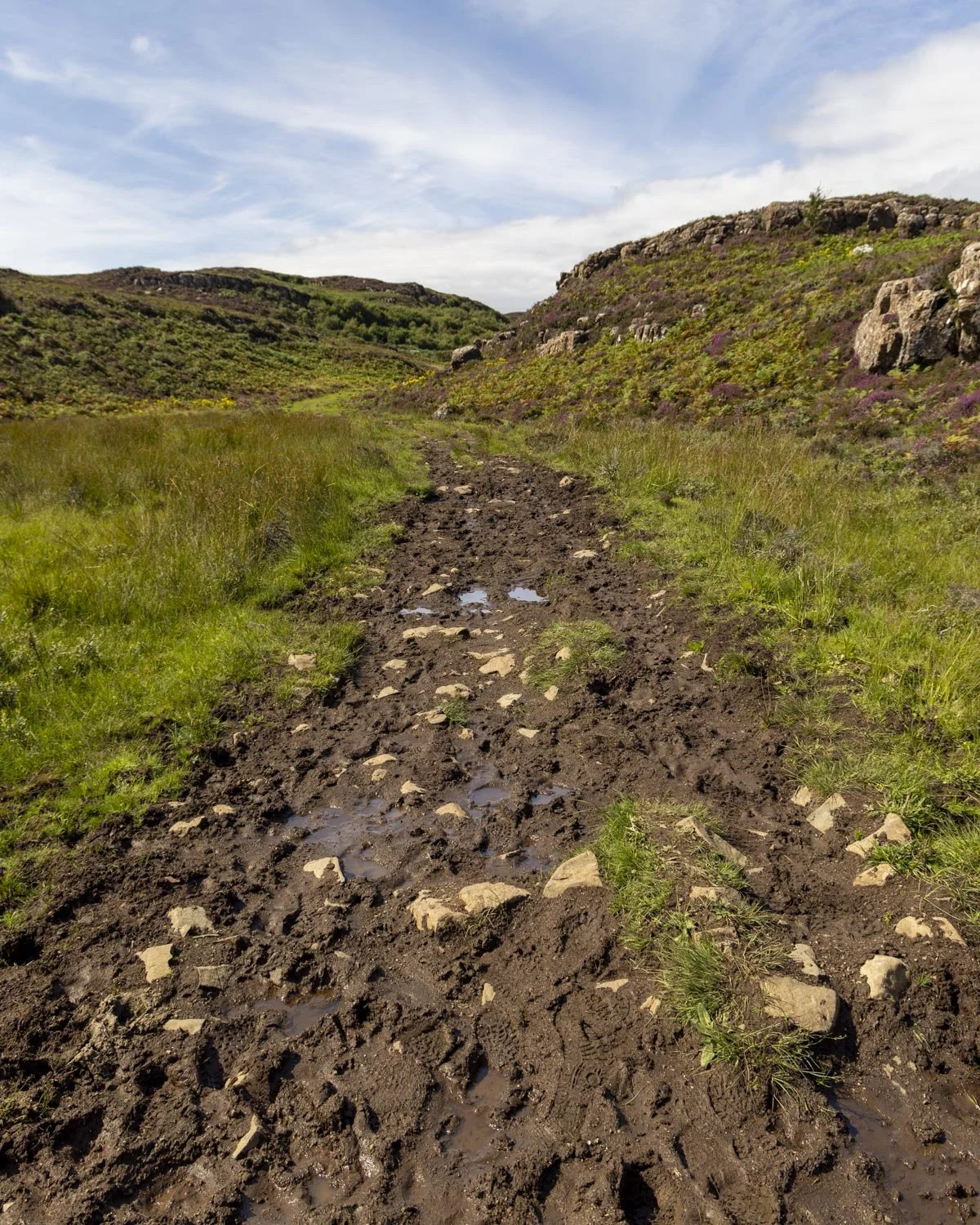
Around 750m from the junction you will turn left and follow the grassy path downhill. It’s not overly steep and it wasn’t slippery despite being wet.
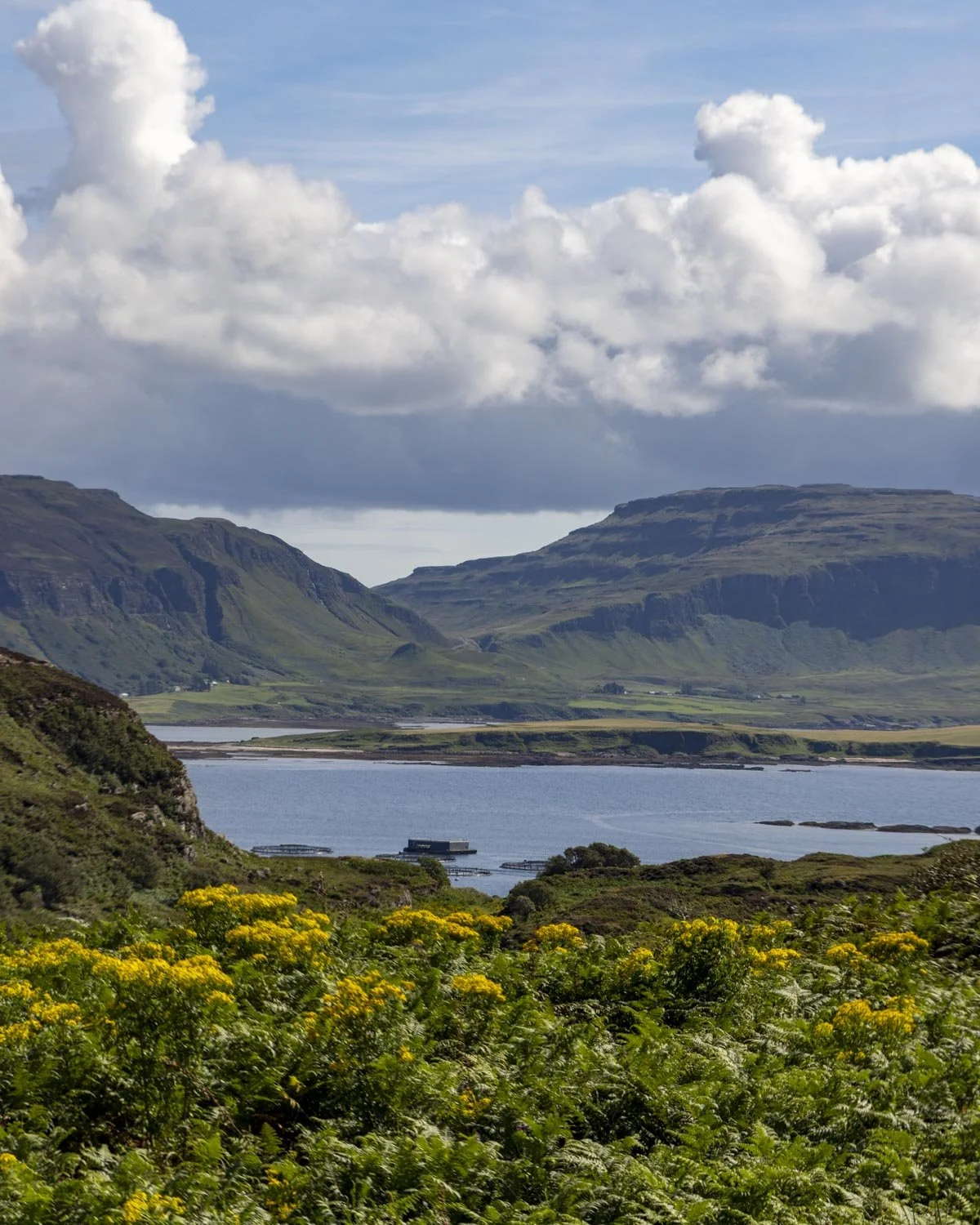
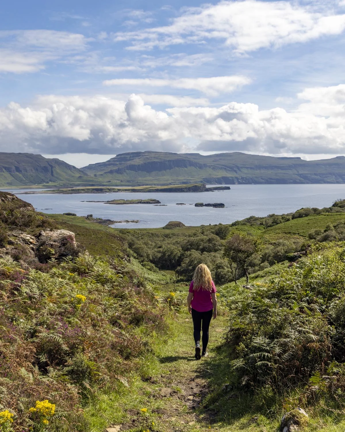
After a couple of hundred metres descending you will come to the creek, and if you’re unlucky, lots more mud! There are some stones to help as you follow the creek, looking out for the white posts which will guide you towards the coast.
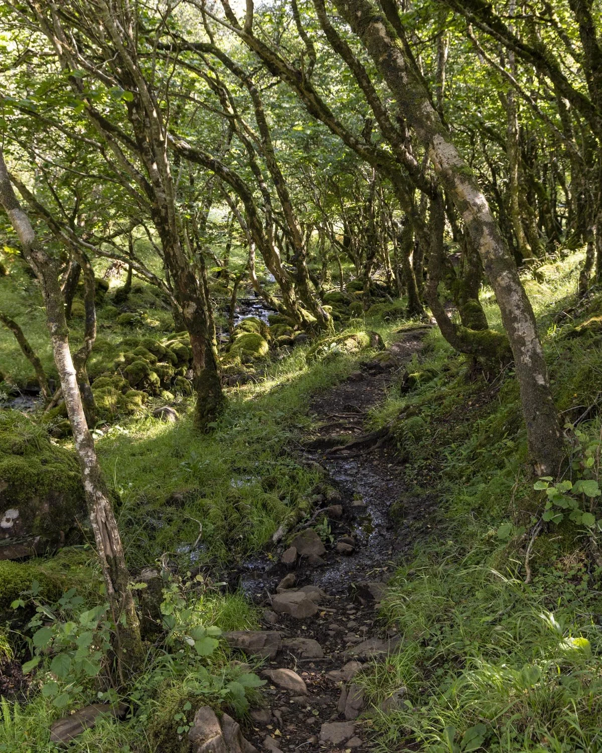
To Livingstone Cave
You’ll briefly pass through some more woodland before arriving at a small set of ruins at the 2.3 mile (3.7km) mark. This is the remains of famous African explorer and missionary Dr David Livingstone’s grandfather’s cottage - and you’re now heading for the cave he lived in while it was being built!
There aren’t many markers along this next section and it wasn’t always obvious where to go.
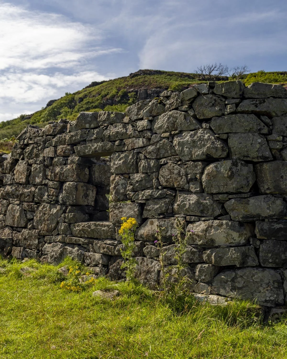
We kept following the worn path to a small creek crossing at the 2.5 mile (4km) mark and then hopped over it before heading right. There’s a minor amount of uphill track and alas, a rather boggy section, though it’s not too extensive.
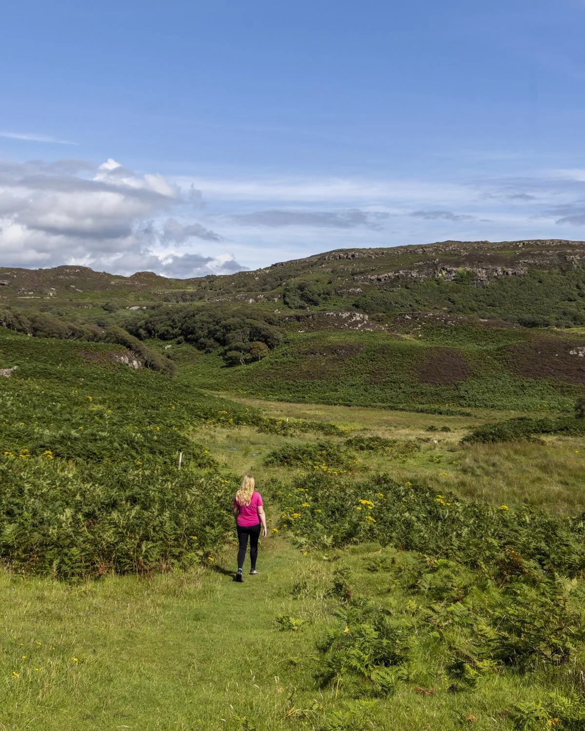
The path undulates through the marshy ground before climbing to a signpost at the 2.7 mile (4.4km) mark. This is where you need to turn left and head sharply uphill to the cave, which is just 50m away. It’s a mix of a rocky and grassy path up to the cave mouth.
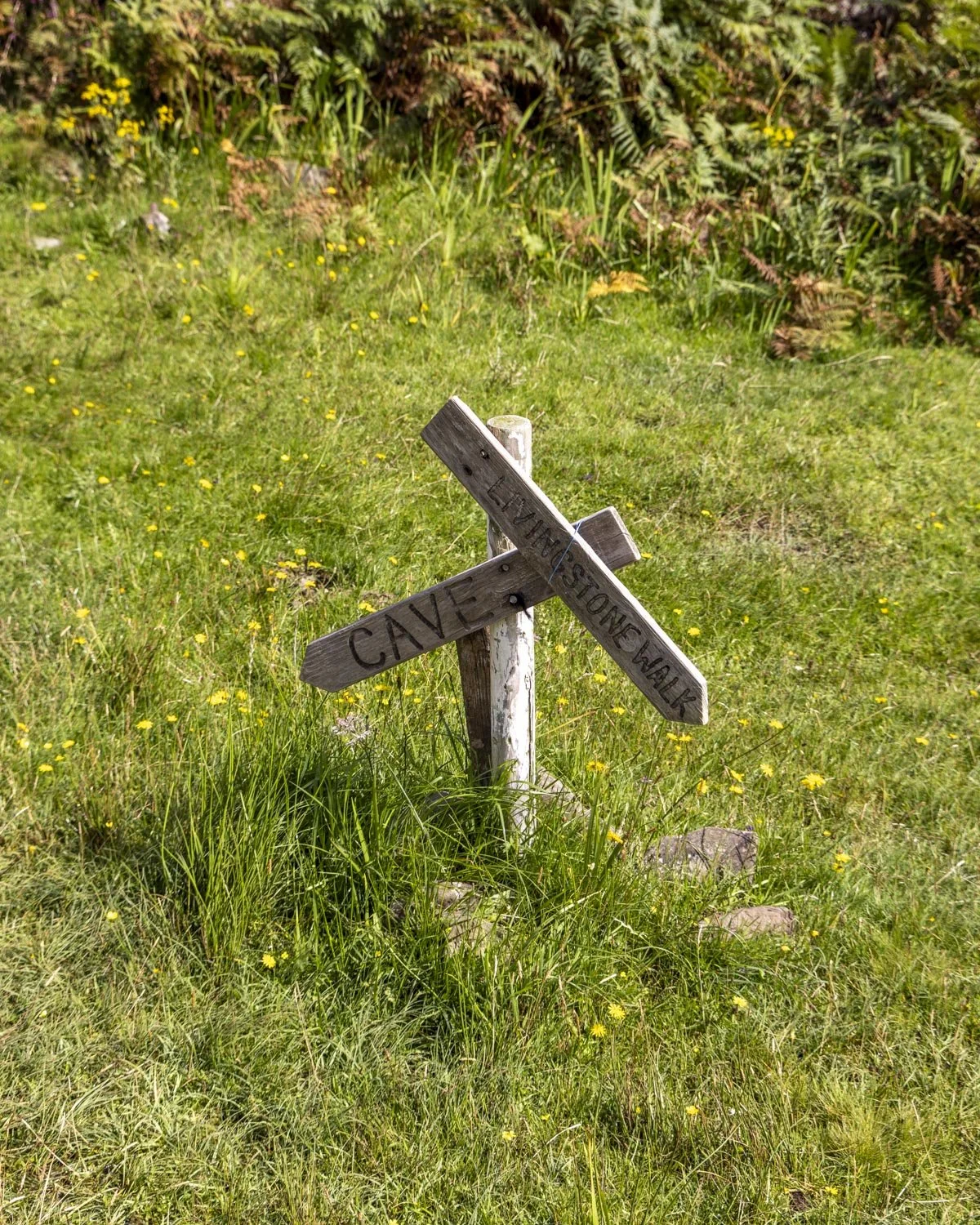
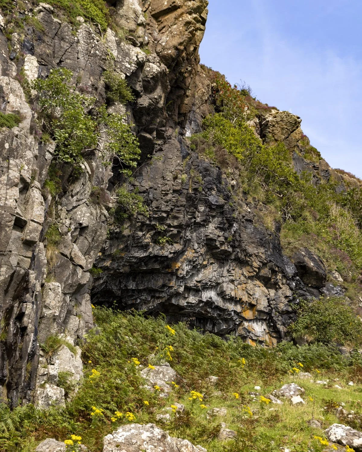
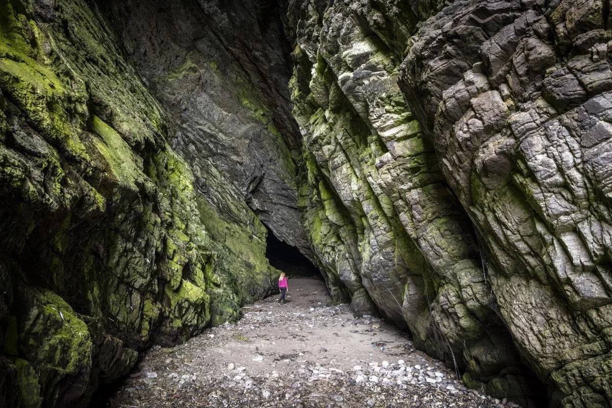
Livingstone Cave was inhabited by humans as far back as 8000 years ago and human bones as well as fish and bird bones were found here by archeologists in the 1980’s.
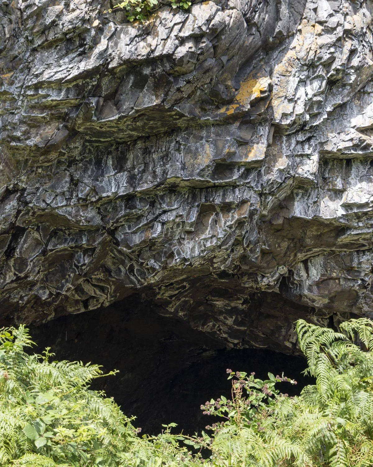
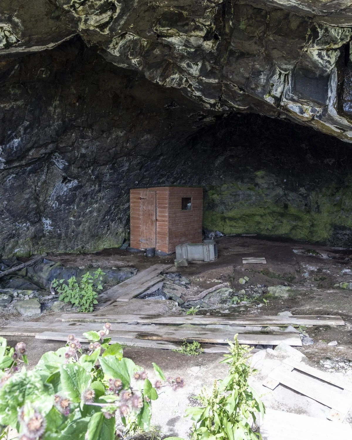
It’s quite a large cave but it gets plenty of natural light so you don’t need a torch to explore. There’s currently a shed in it which did kill the vibe a little, but it was still worth seeing. I thought the entrance to the cave - a jagged opening in the grey basalt rock - was more atmospheric than the inside!
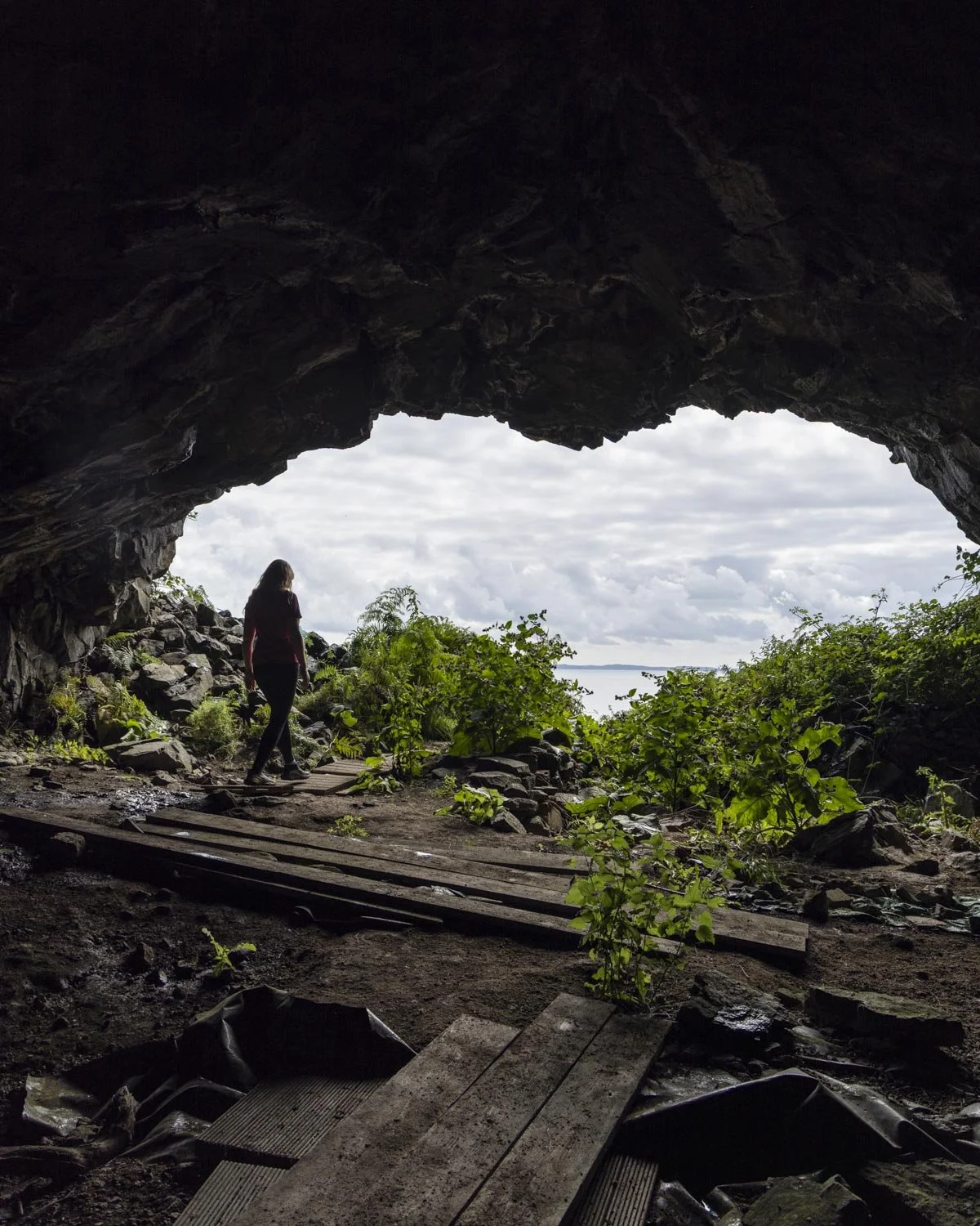
There are a few wooden planks and a little bridge near the entryway which take you over the muddy sections - though unless you’re very lucky you’ve already walked through plenty of mud at this point so it doesn’t really matter!
To the basalt columns
From the cave head back to the main track and then keep following it downhill. It feels like you are walking further away from the coast and I was worried we were going to miss the basalt columns.
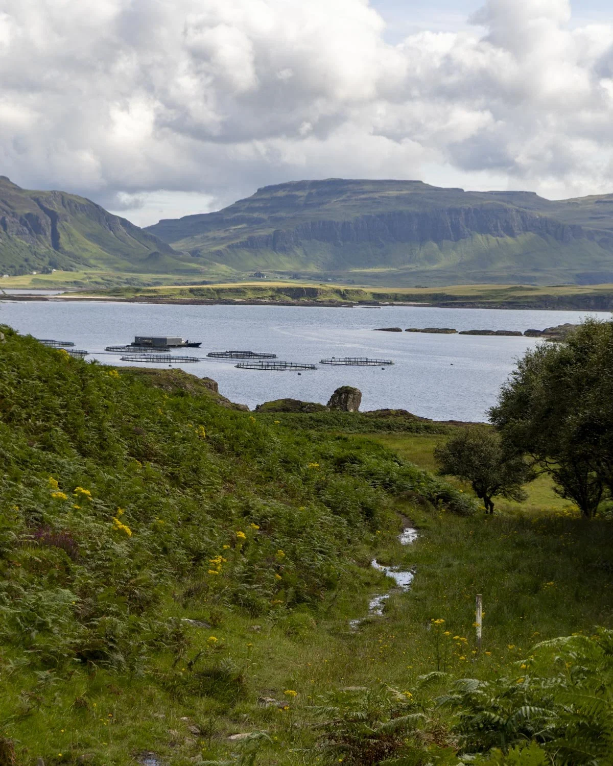
After around 250m we saw a beach and some columns to the right and decided to turn off to try and reach them! Whatever you do, don’t do the same! What started as ankle deep bog quickly became a whole lot worse and we had to beat a hasty retreat after getting really close but then hitting such deep bog we couldn’t possibly face it.
The normal walking path will bring you out to some amazing columns for a fraction of the effort!
The narrow path winds it way around the bracken covered hillside with some gorgeous sea views. It will bring you out to the cliff tops where you will get a great view of the columns from above. I wanted to get down but the gully looked very steep at this point.
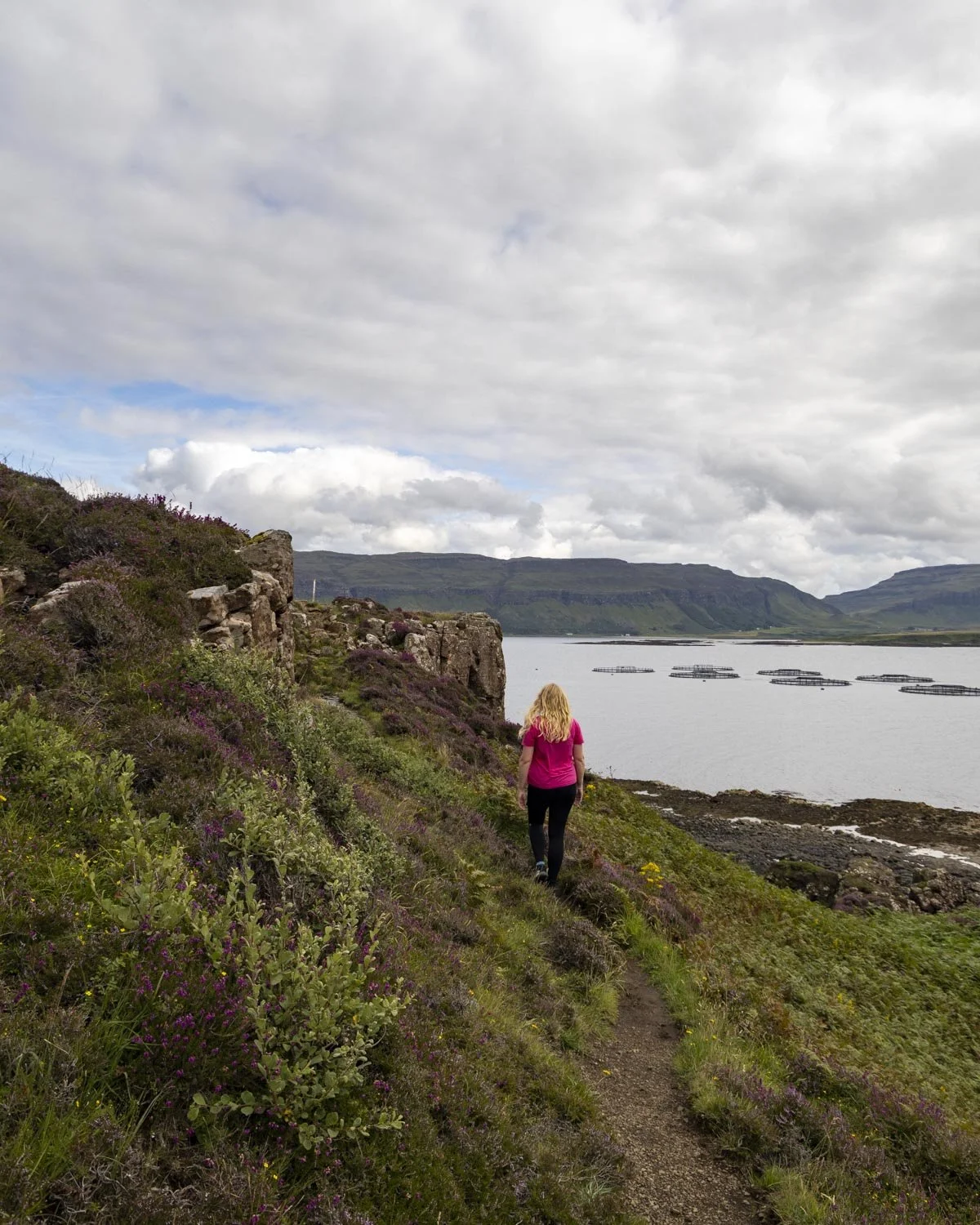
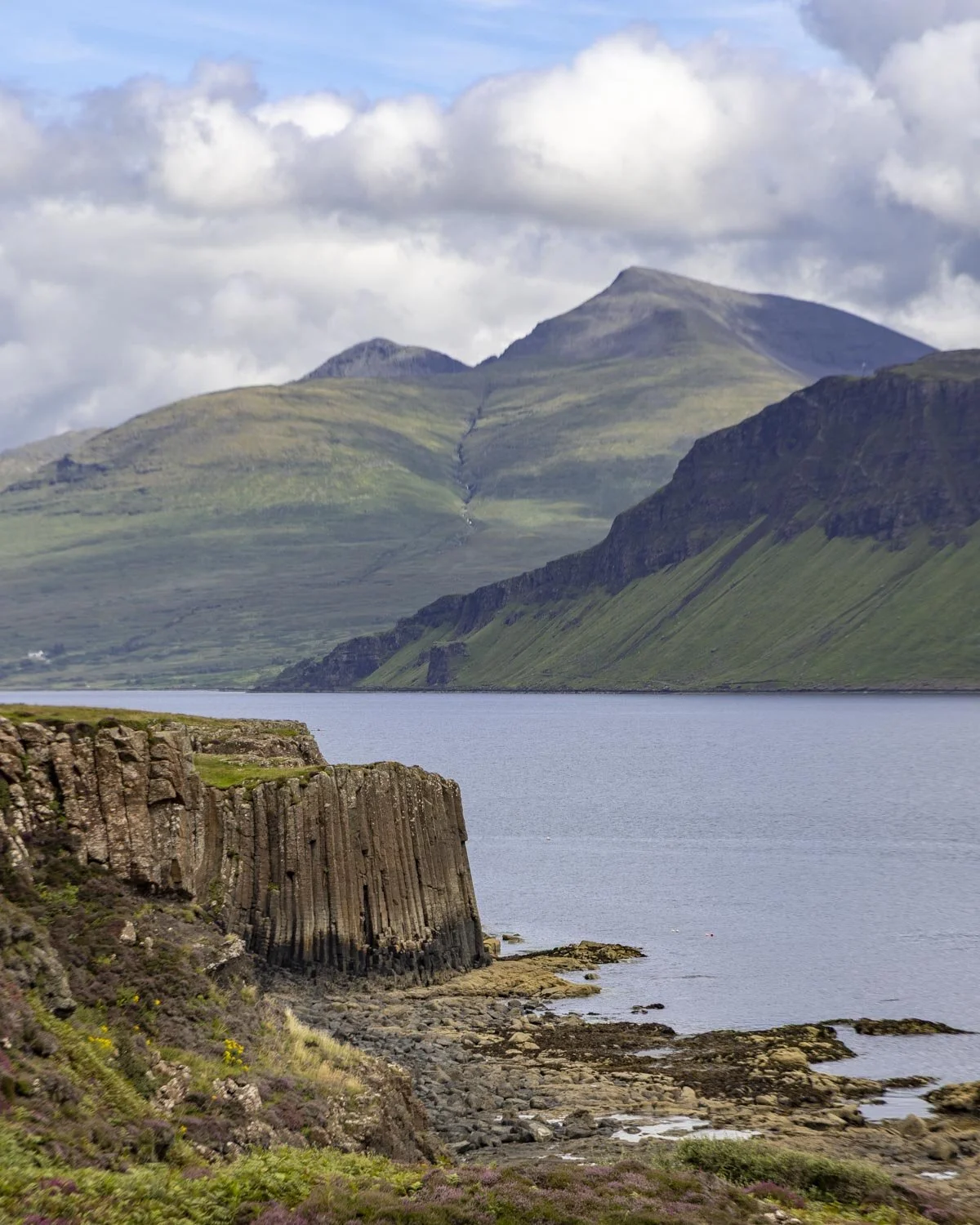
The easy route down is actually 350m beyond where you will get your first good view of the columns. You’ll cross the little creek (very easy) and then you will see a much shallower gully on the right.
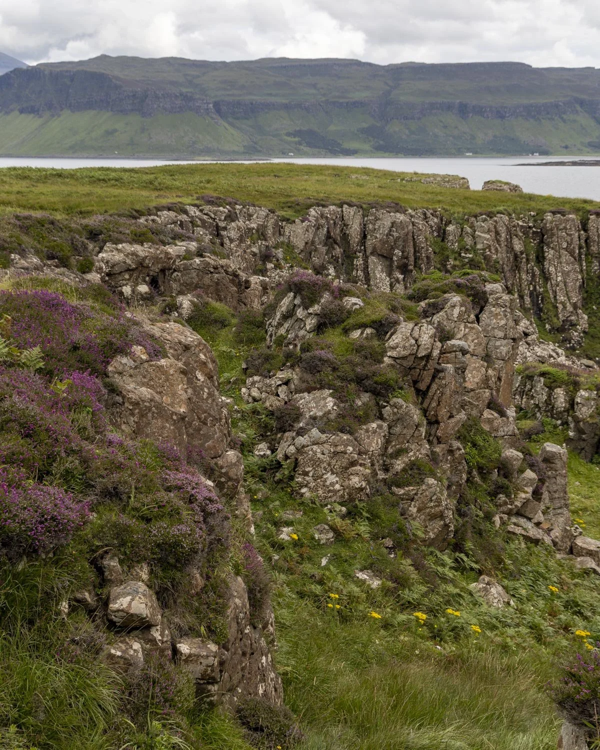
There are rocks along the dirt path which help you climb down the trail quite easily. It’s neither overly steep nor slippery and felt stable enough.
It’s less than 100m from the cliff top to the columns, though the last section along the beach requires a bit of rock hopping - avoid the kelp which is very slippery.
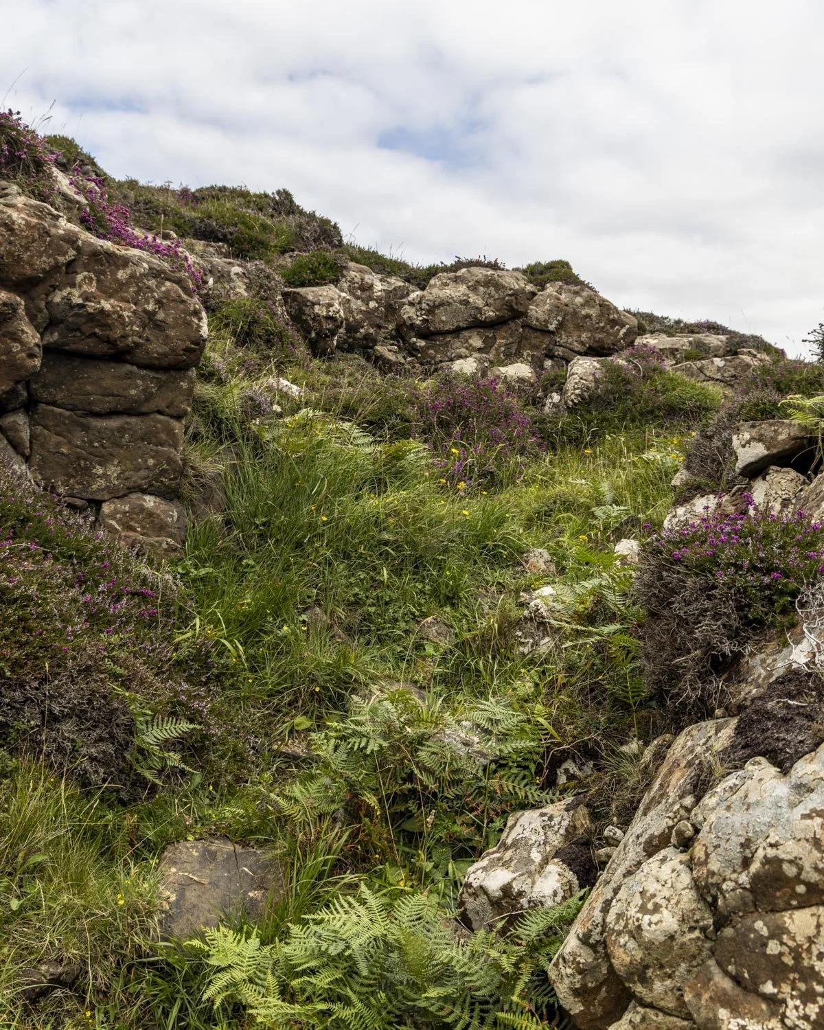
The shallower gully down to the beach
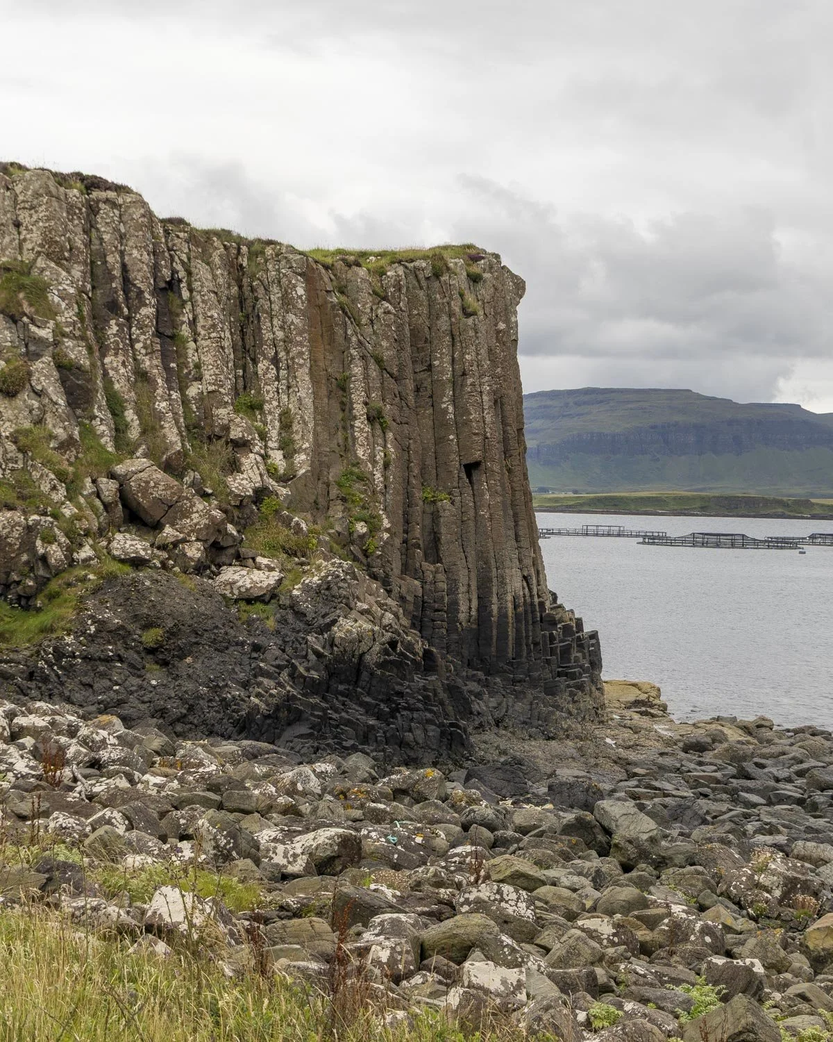
We tried to stick to the bigger more stable rocks and it took less than five minutes to get across to the columns, even for me and I am slow and clumsy on this kind of terrain.
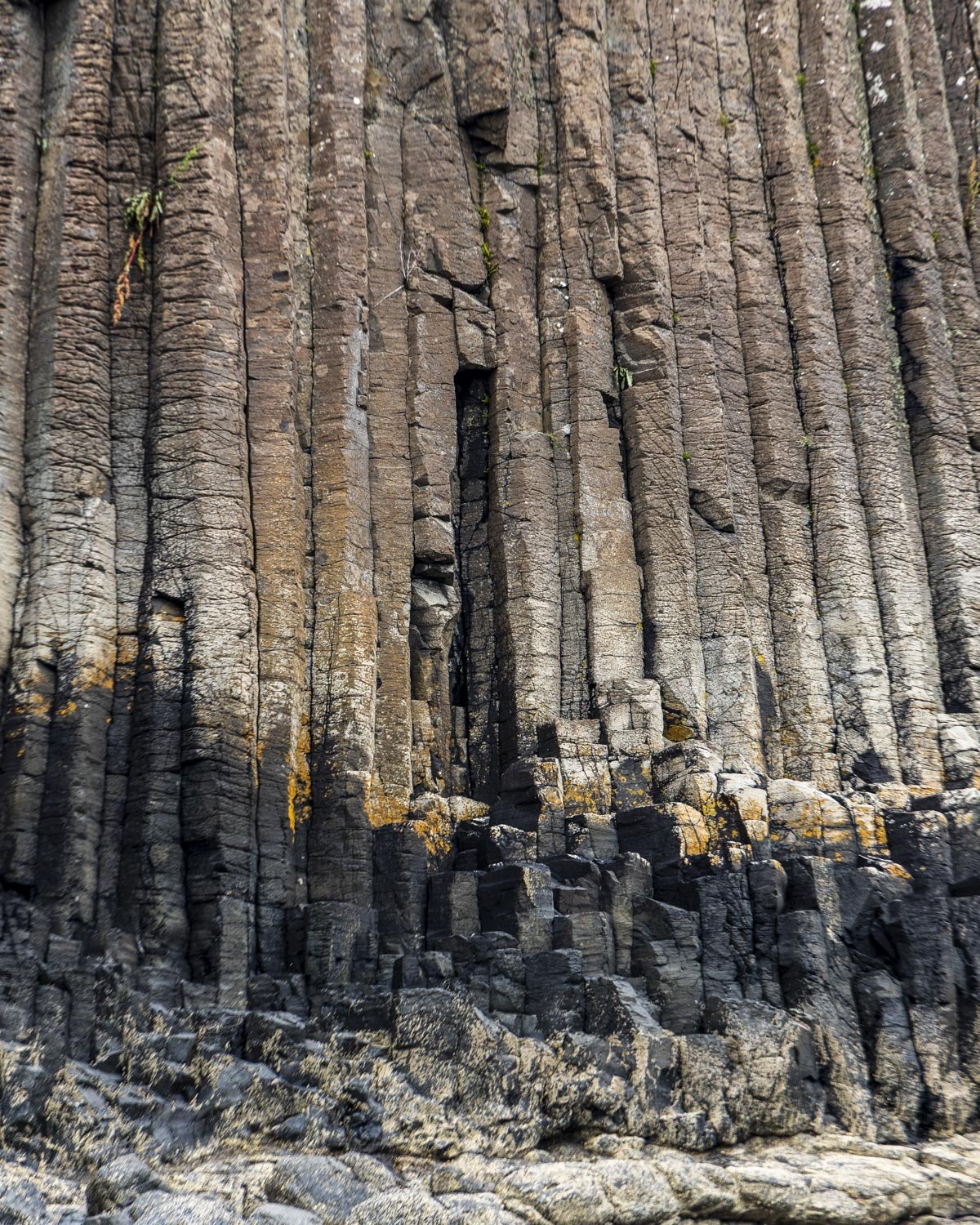
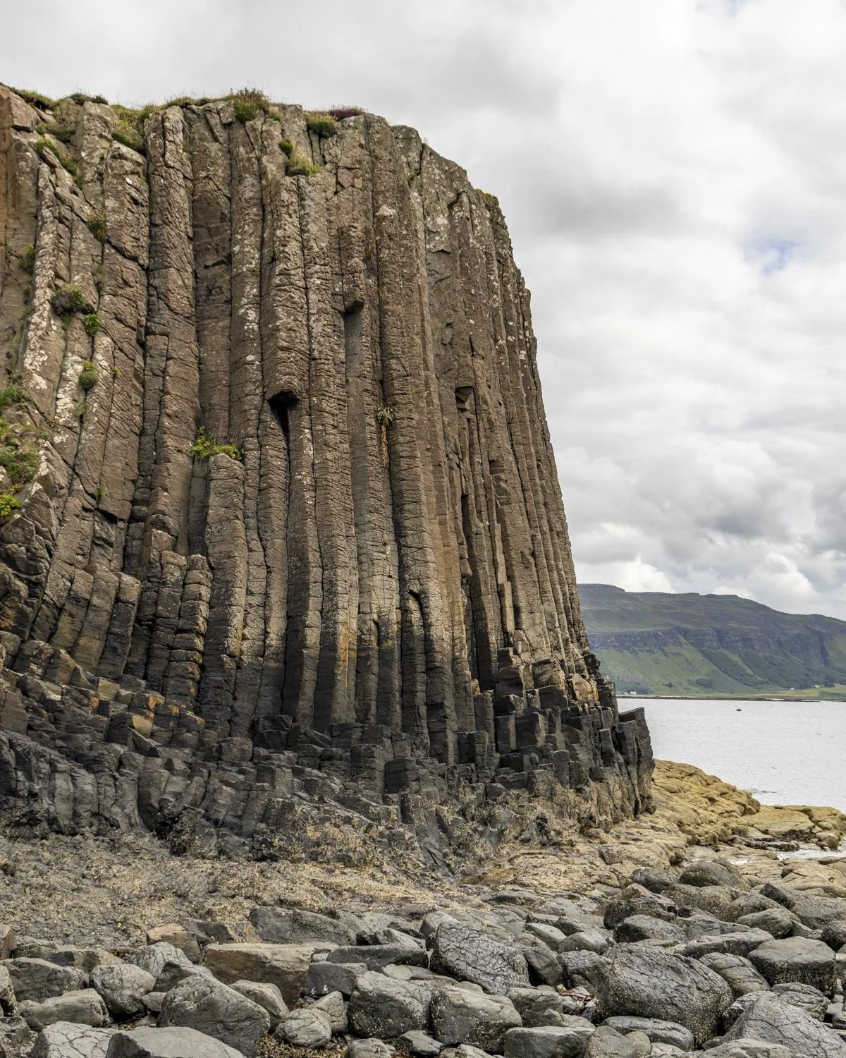
It’s so worth making this little detour even if it is a rougher track because the columns are fantastic. We weren’t lucky enough to make it to Staffa Island this time around, so I felt like this gave me a little taste of what it might be like.
It’s tiny by comparison and not an actual sea cave, but the columns are still very impressive and the highlight of the walk for me.
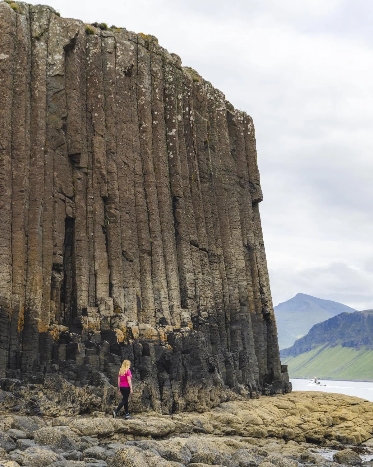
The fact we were there alone was also pretty amazing, especially as we were here in peak season. We happened to be visiting a couple of hours before the low tide and this made exploration easy, I imagine at high tide access could be cut off, but I haven’t been able to find out too much about the columns and how far the tide comes in, so I could be wrong.
Completing the circuit
Once you’re back on the main trail, you have around 1.5 miles (2.5km) to complete the circuit. Sadly there is quite a bit more mud and bog along this next section, though it may be better if it’s been drier when you visit!
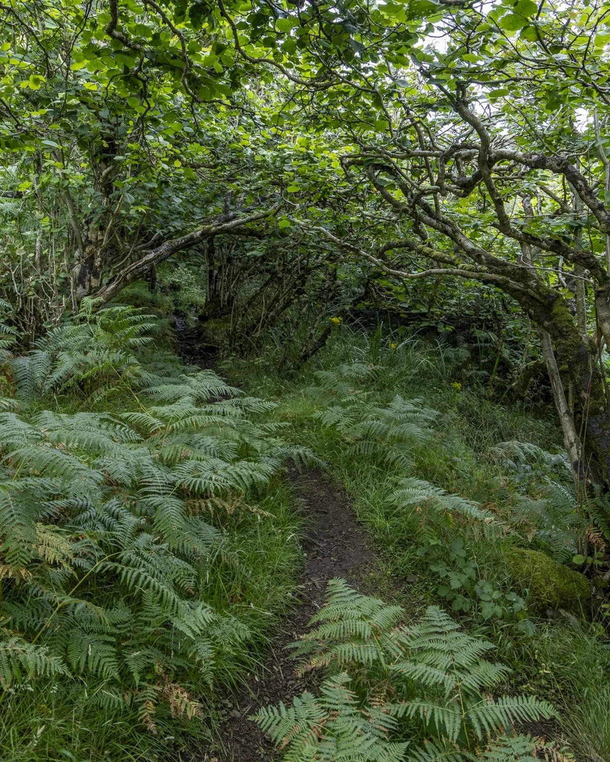
You’ll pass through a little bit of woodland alongside a creek and then come out onto a headland with stunning views and some beautiful wildflowers.
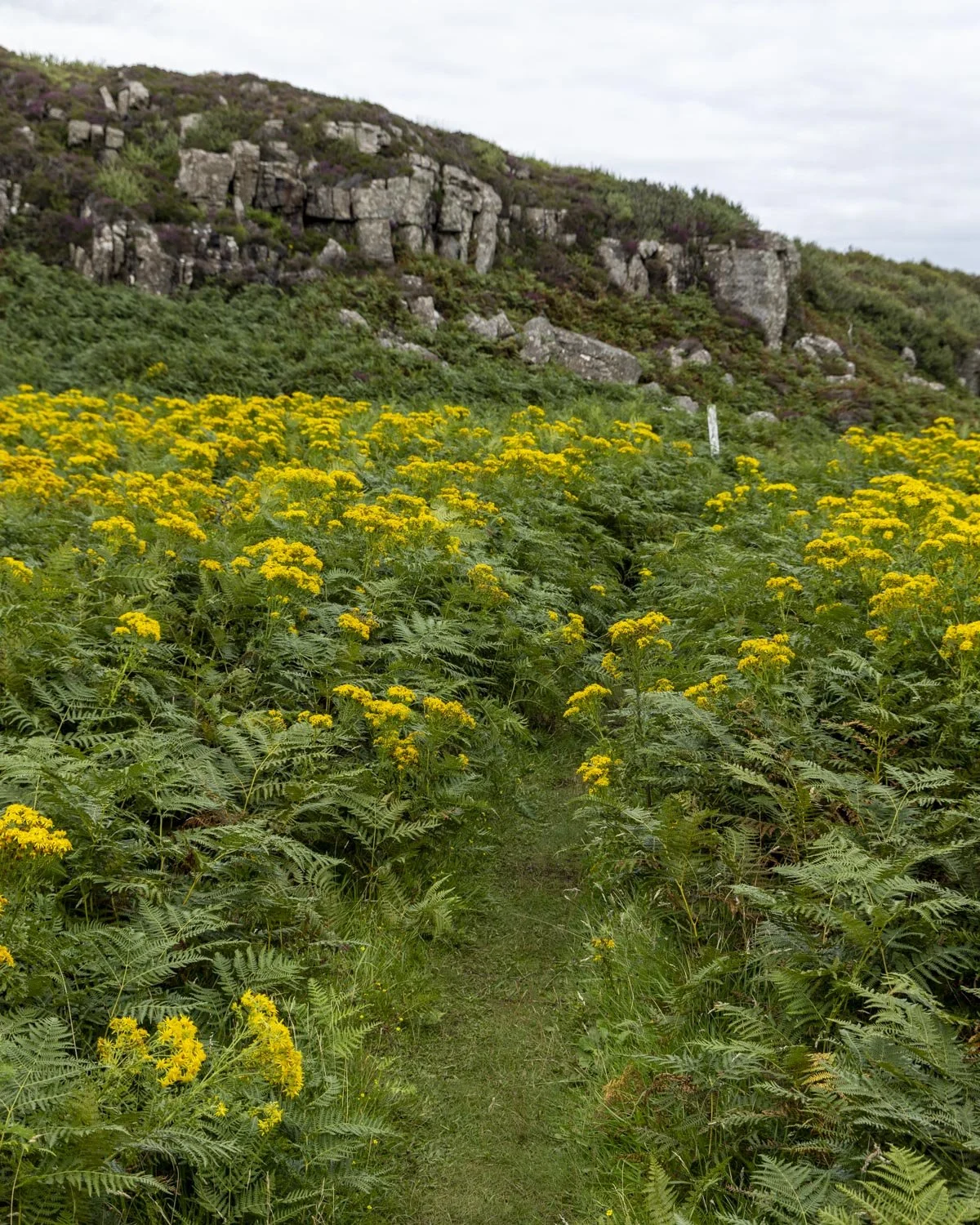
This open stretch is brief but fabulous and then you’ll have a period of intermittent mud and bog as the track begins descending.
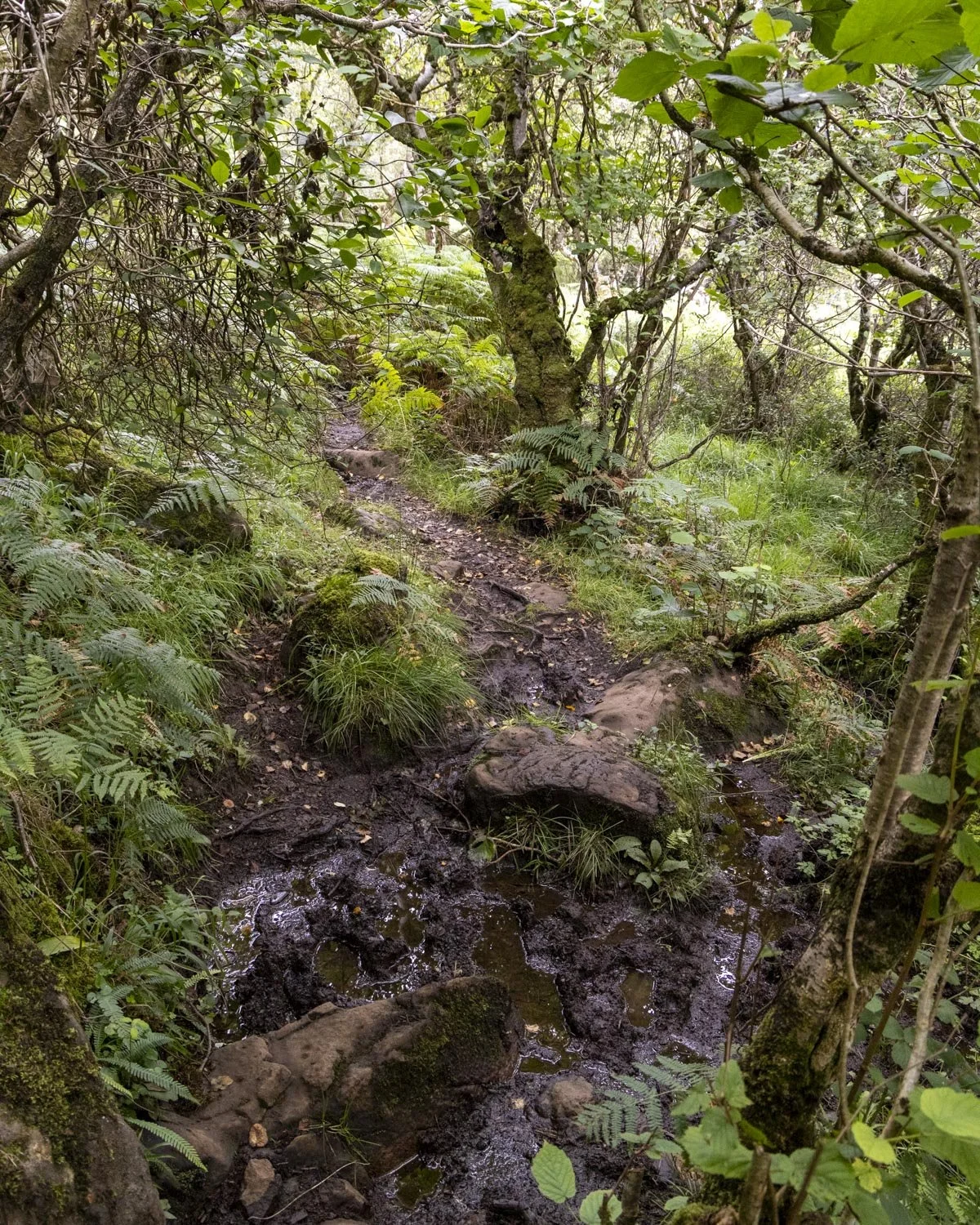
At the 3.8 mile (6.1km) mark you’ll reach some fields and soon the path will get much better and all the bog will be behind you. Just over 6.2km in you will see a signpost for the ferry and follow it right.
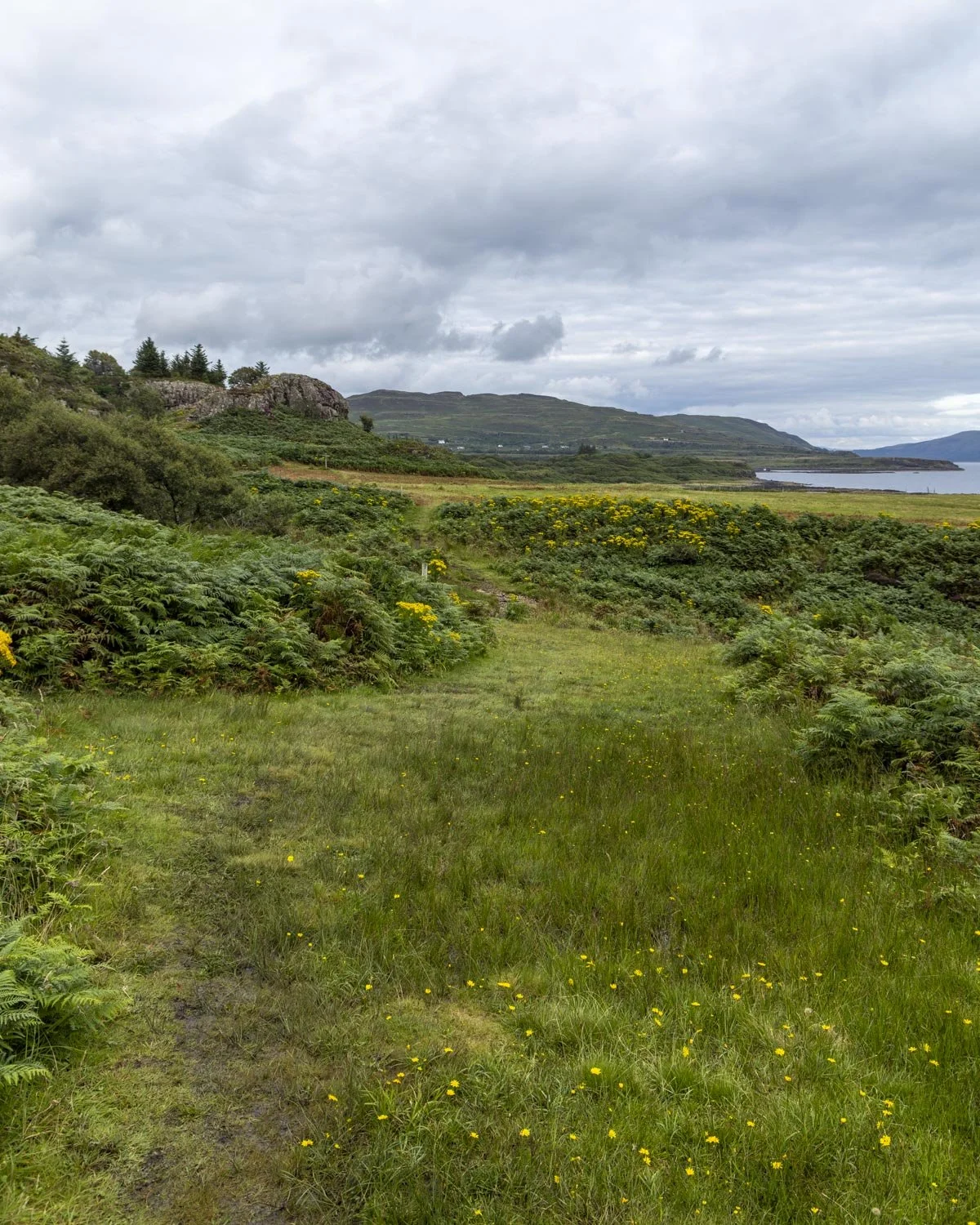
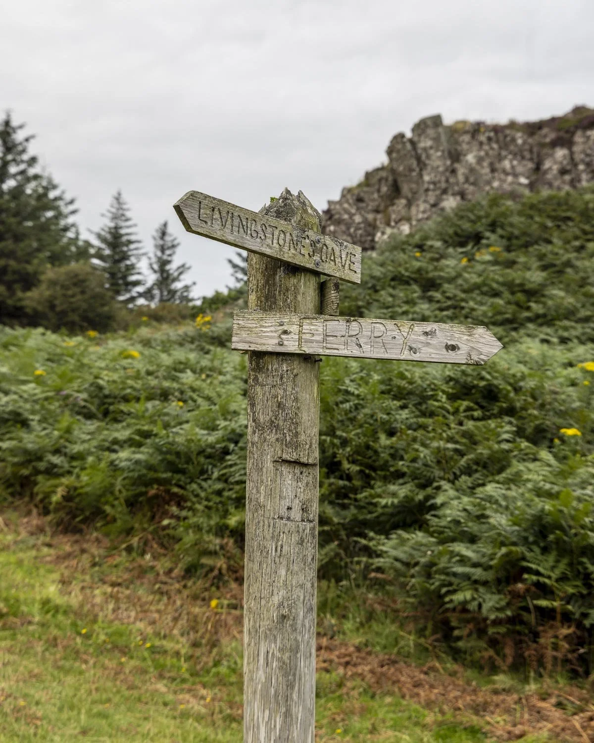
You’ll pass through a couple of gates, heading left after the second one, and from here you will be back walking on gravel tracks.
There’s a bit of uphill to go but also plenty of flat track. Just after the third gate, around 4.3 miles (6.9km) in, you will pick up another sign for the ferry and head right, it’s beside the workshop.
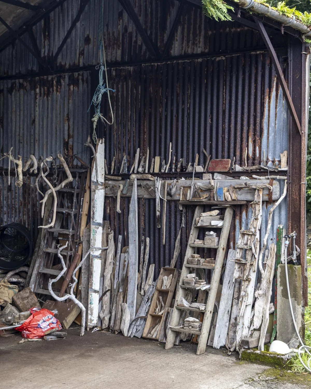
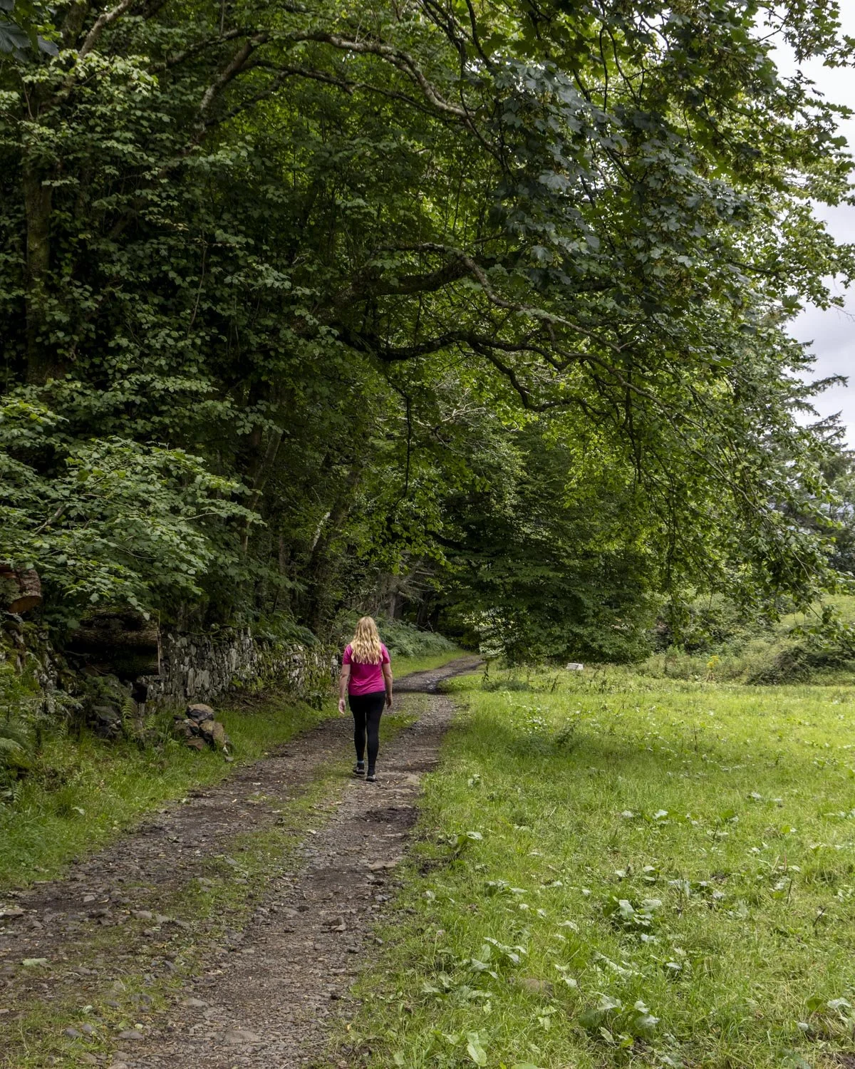
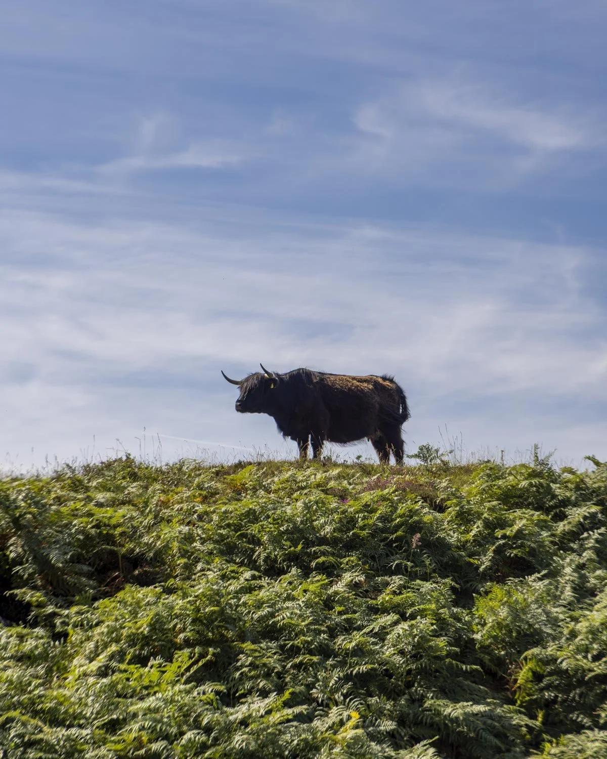
You’ll soon reach Ulva House and more signposts, so there’s no chance you can make a wrong turn. You’ll enter a field of hairy coos which was very exciting until one started to get a bit snorty and I noticed there was also a large bull!
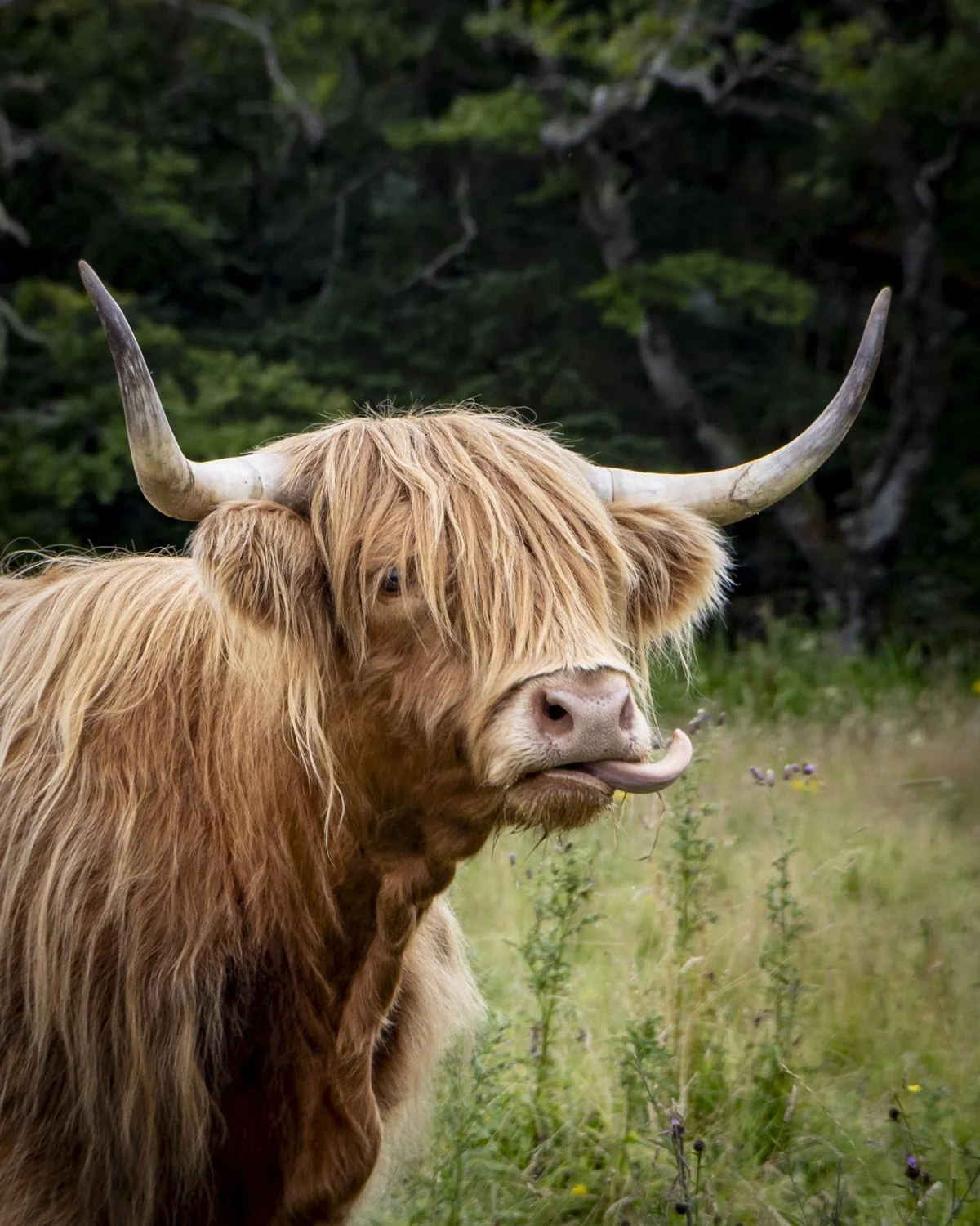
We made it through the cow field unscathed and passed through another gate before heading right just beyond the gate to reach the ferry, which was another 250m away.
All in all this was a fantastic walk with lots to see, it would have been even better if it was drier, but I guess this is the West Coast of Scotland!
This post may contain affiliate links, meaning at no additional cost to you, that we will earn a small commission if you click through and decide to make a purchase. This helps towards the costs of running our website. Thanks for your support.
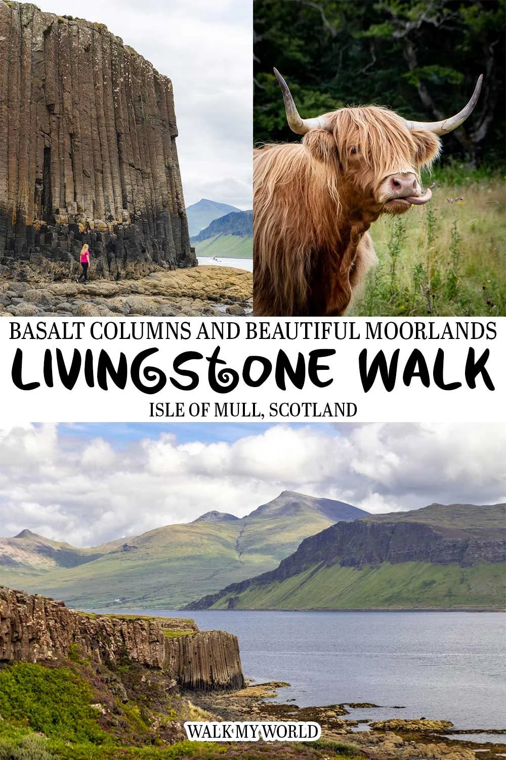


Everything you need to know about one of the best walks on Mull. There is so much to see, from incredible basalt columns which are a bit like a miniature Staffa Island, to a cave once inhabited by humans, endless sea views and even a field of hairy coos. We’re sharing directions, trail conditions and how to get to Ulva Island where the walk is located.