
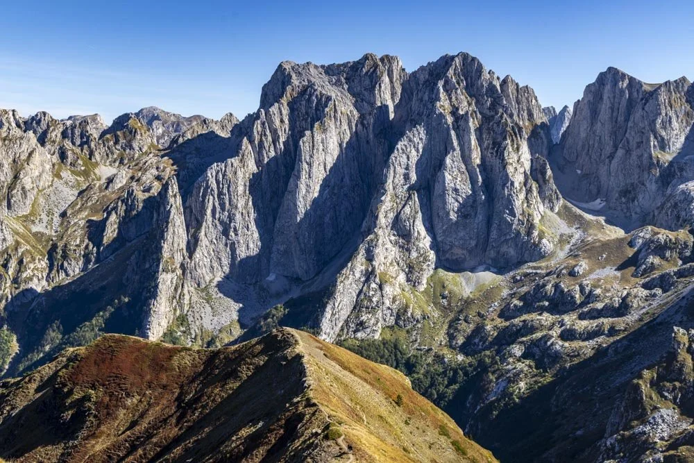
The views from Vajusha Peak are exceptional with jagged mountains and ridgelines as far as the eye can see, every bit as special as the views from the hugely popular Theth Valbone hike.
You also have the fun aspect that you are looking down on Albania from one side and Montenegro from the other! Normally a hike with views this good would be really busy, but we only saw people at the peak and they had all walked over from Montenegro, we hadn’t seen another soul on the Albanian side.
Of course that does mean that you share the top with others, but at least on the walk in you will experience pure serenity.
The hike itself is strenuous in the sense it’s uphill much of the way, but the majority of the terrain is good and there’s no real scrambling involved. Here’s exactly what to expect on the trail.
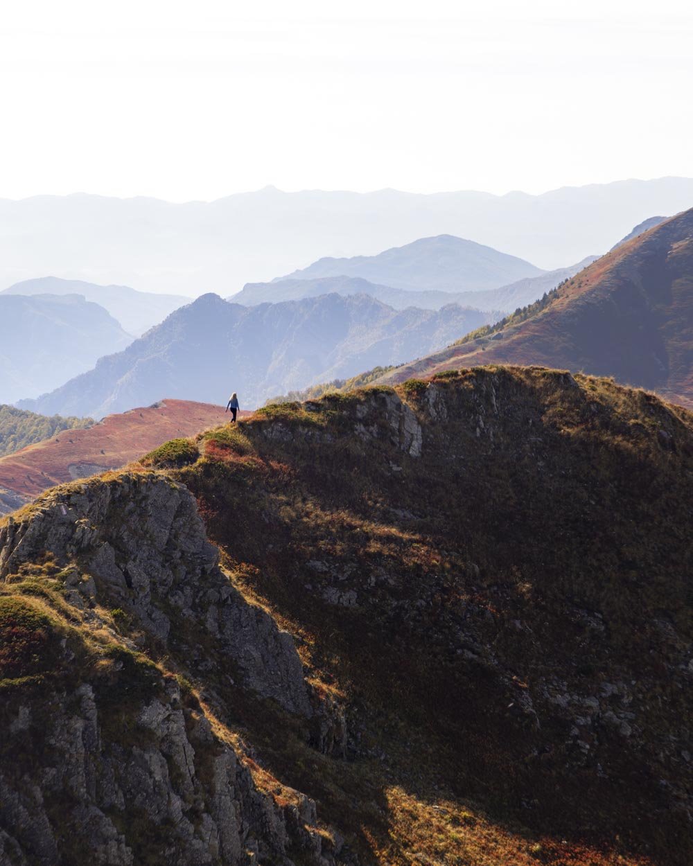
The Vajusha Peak (Maja e Vajushës) hike
The stats
Distance: 4.1km each way
Elevation gain: 825m
Difficulty: Moderate
Trailhead: Trail opposite Bjeshkët e Nemuna, LePushë
Summary: We walked to Vajusha Peak and back on the same trail, which is easier than the circuit route. We did go a little along the ridge that leads south from the peak (which we’d highly recommend), but on seeing the steep loose descent required to get onto the circuit track we decided to backtrack.
If you walk to the peak and back the same way (following the same route as us) it’s pretty straightforward. There is no exposure on the narrow sections unless you choose to walk along the ridge which continues on from the summit.
There is only a little flat track, but the gradient is a mix of steep and gentle so you do get some respite. There are some sections of loose terrain most notably on the final ascent, but it’s not too steep or slippery.
No part of this track is any worse than the terrain on the Theth Valbone hike, so if you’ve done that one you’ll have no problem.
I normally hate loose terrain when descending, but I found there were usually bits of jutting out turf or rocks to steady myself on the steeper bits and it was far less slippery than I had imagined it would be when going uphill.
The notable exception to this is the optional detour to the peak just south of Maja e Vajiushës, which was very short, but definitely slippery on the way down.
I took this bit very carefully, mainly sticking to the verge instead of the track after watching someone skid down!
Starting the trail: a gentle climb to the waterfall
The final part of the road that leads to the trailhead is unsealed. If you have a car that can’t go on gravel roads like we did on this occasion (and as a side note, do not book a car that can’t go on unsealed roads unless you have no other option!) you’ll need to walk an extra 950m each way (not included in the stats above).
For everyone else, you can park at the side of the gravel road at this location.
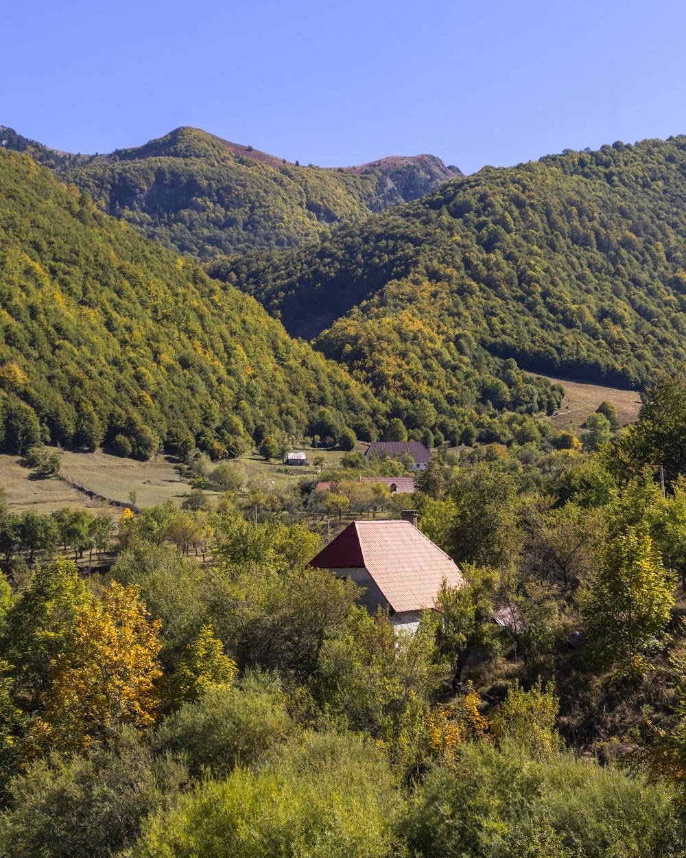
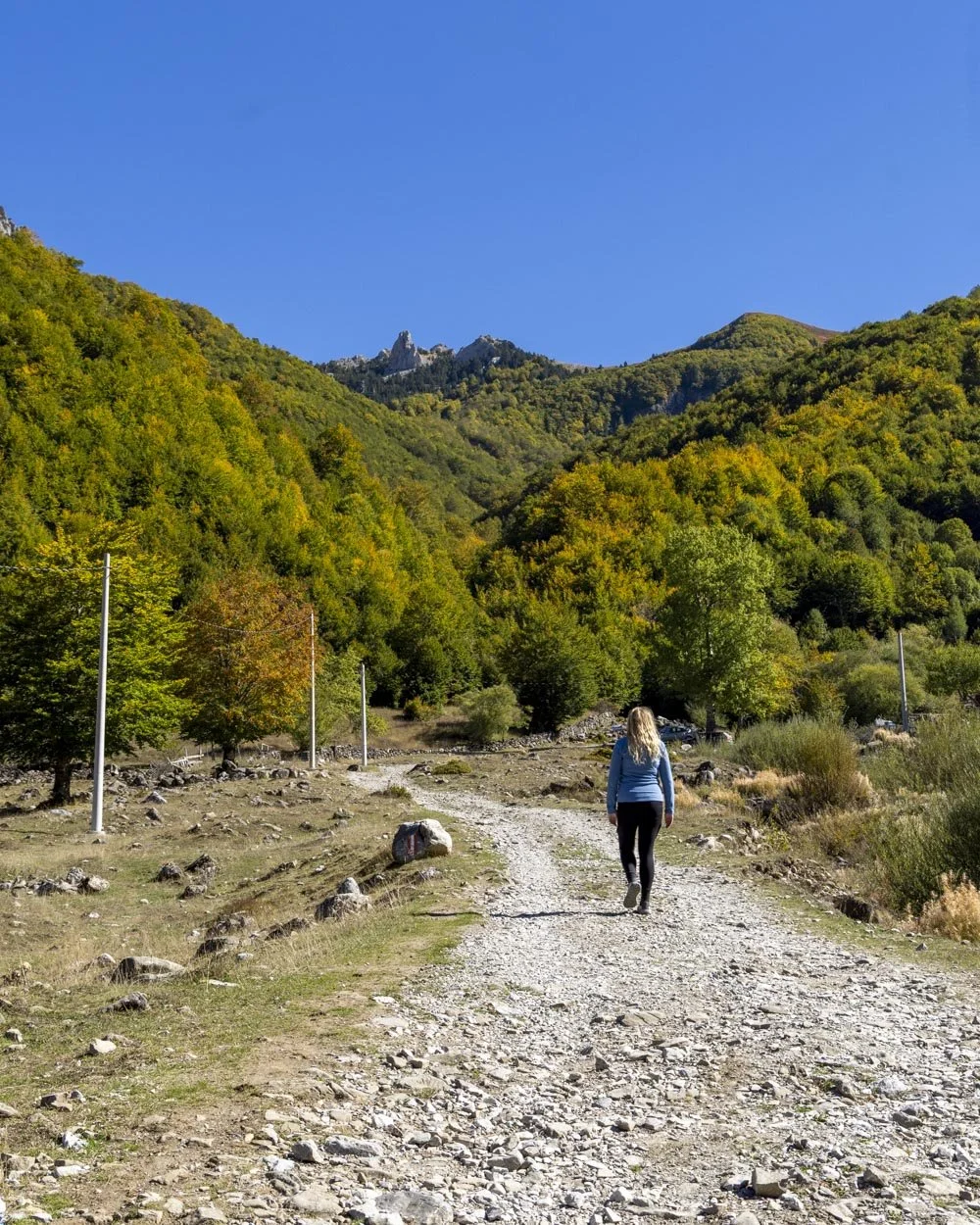
From here you’ll begin heading uphill immediately (passing a signpost for ‘Ujevara’ meaning waterfall), initially on a rubbly road before it gives way to a gravel path.
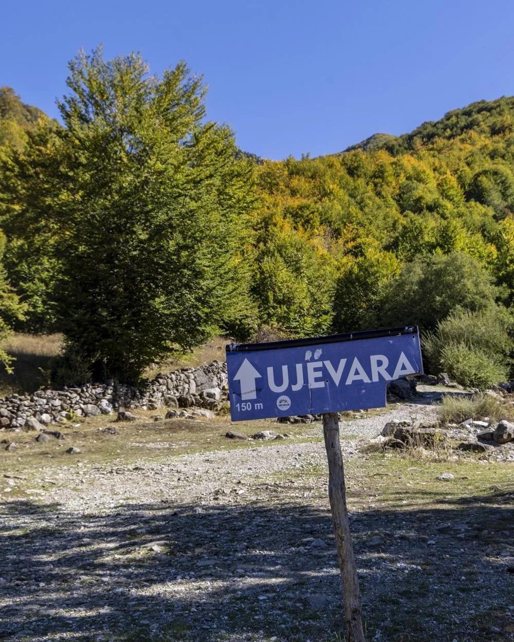
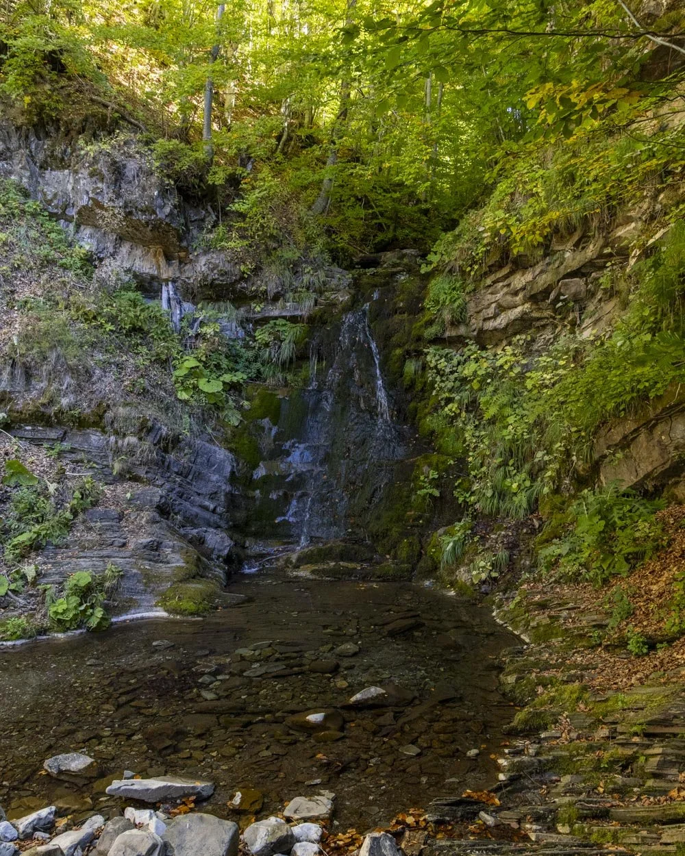
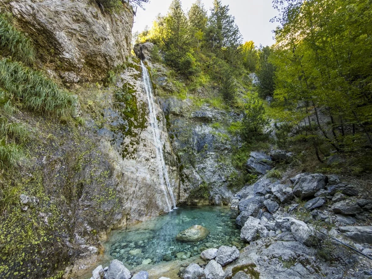
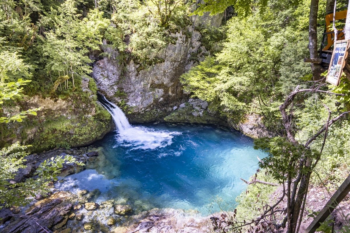
You’ll cross over a small wooden bridge and 65m later you can opt to make the minor detour to see the waterfall. It’s to the left and only 45m away, along an easy flat path.
We were visiting in October after a long dry summer so it had all but dried up but I imagine it’s a lovely woodland cascade outside the summer months.
The real climb begins and breaking the tree line
Once back on the main trail you will enter dense woodland and from here the real climb begins. It’s nicely shaded by the trees, but it’s pretty steep and relentless until you break the tree line at the 1.8km mark.
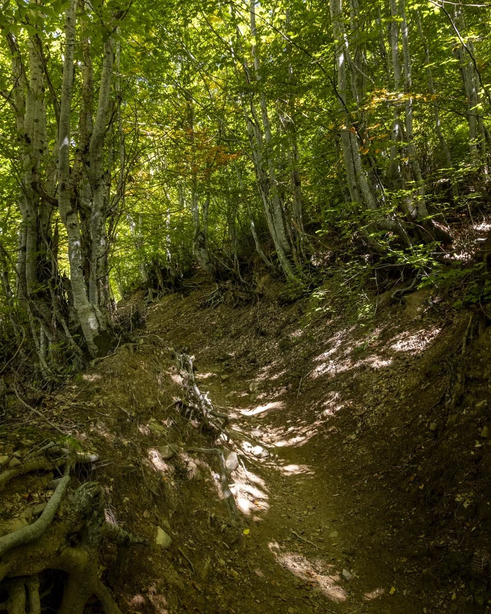
The terrain is uneven much of the way, sometimes with rocks and tree roots, but it’s not difficult. The initial 800m is the steepest, first on switchbacks and then more directly uphill before it noticeably slackens, though it’s still very much a climb.
There is a bit of loose soil which I was more mindful of on the way down, but it wasn’t particularly slippery in the end, though this might be a different story if it’s wet.
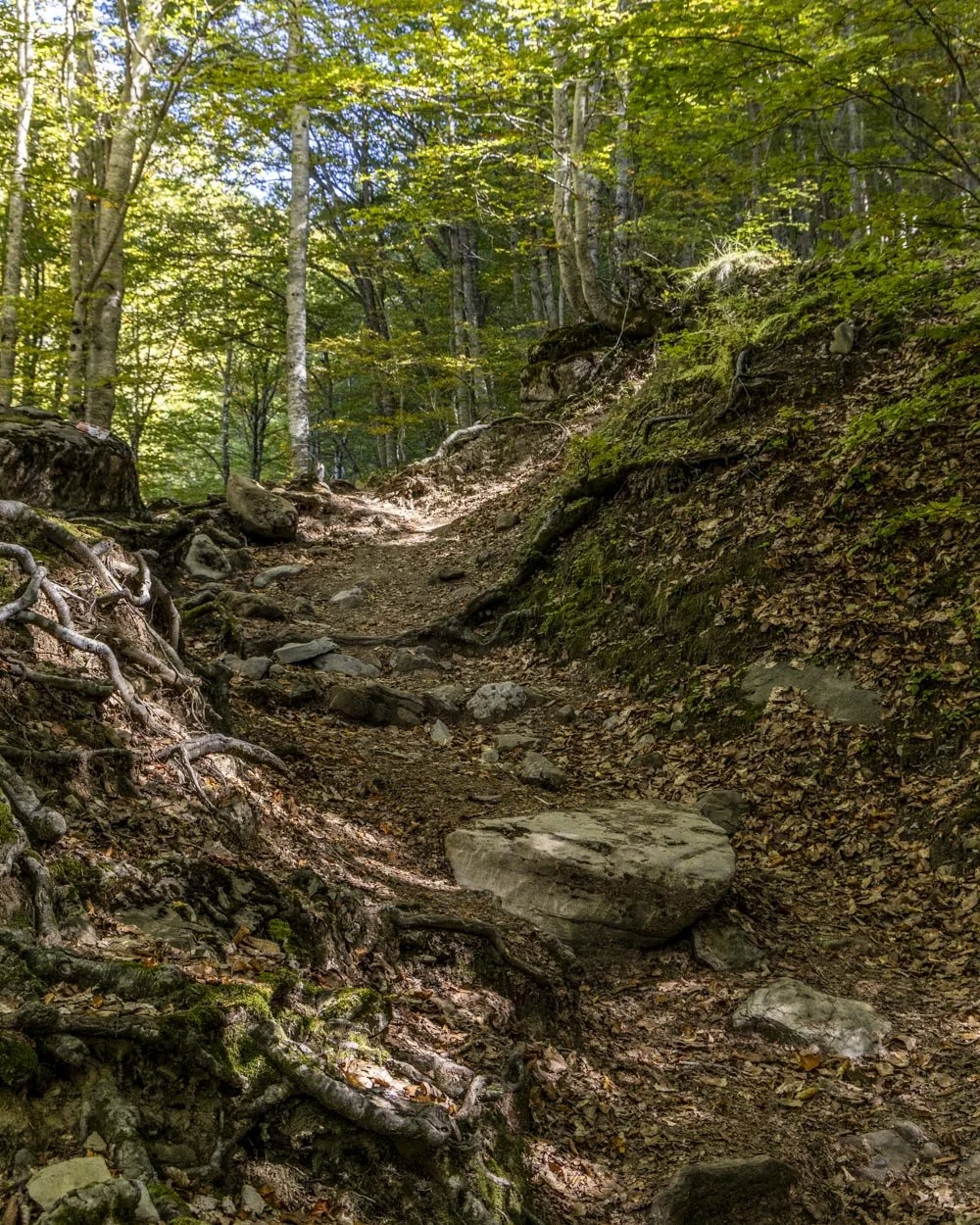
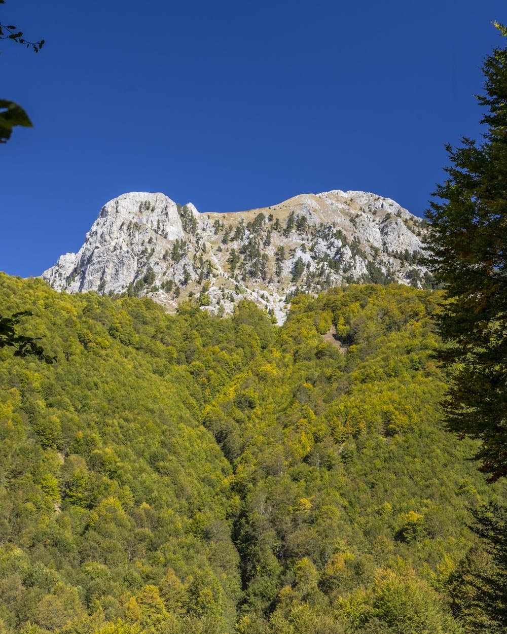
Due to all the trees there are almost no views on this first section of the trail, there’s a bit of a peek between the trees around the 1.3km mark, but the big views are the reward for far greater effort!
A bit of respite and the first views
Roughly 1.8km into the trail you will emerge from the forest and get your first big view of the mountains.
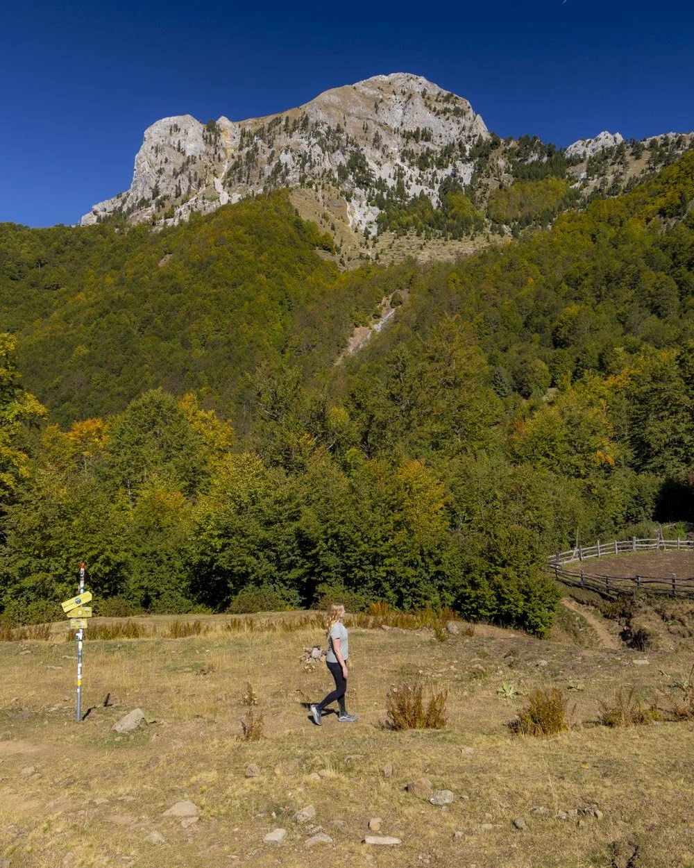
You will see a signpost 100m later and bear right, it doesn’t exactly look like a trail but it is! Stay to the right of the gully and you will pick up a more defined track.
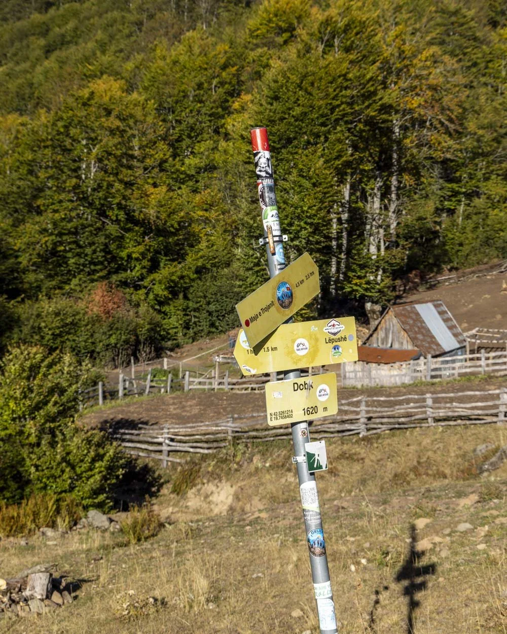
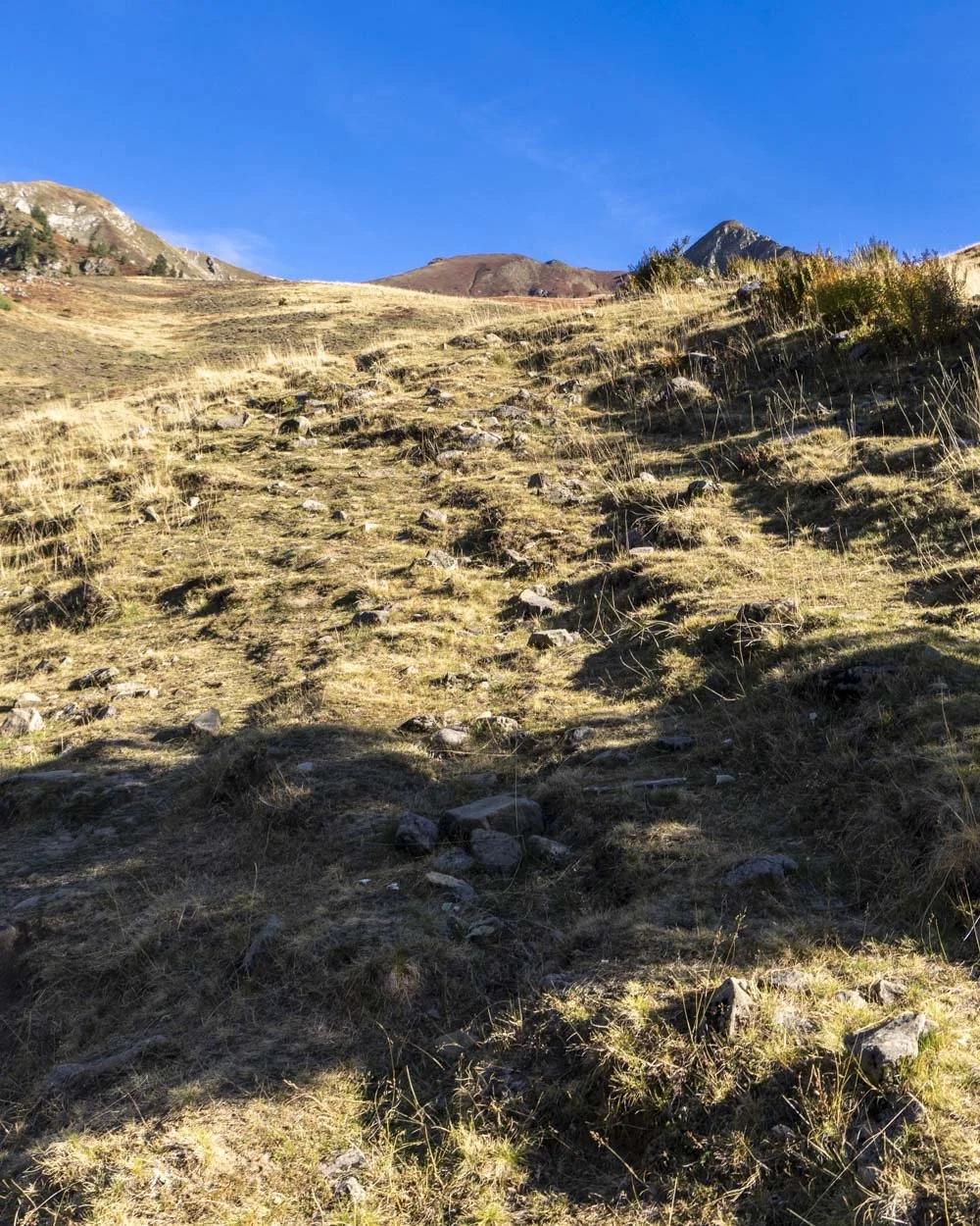
At this point you’ve walked about 2km and climbed 350m in elevation, so it’s pretty steep, but after a bit more ascending you will reach some flatter terrain (it feels noticeably flatter though you’re still mainly going uphill!).
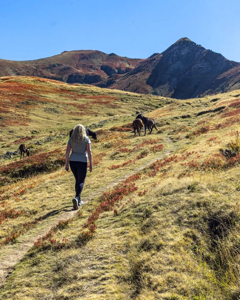
If I remember rightly there are no more named signposts for the walk (though there are a few painted rocks) but you keep following the grassy track gently uphill.
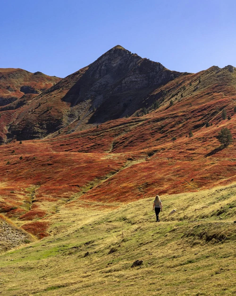
You will keep straight and then pass through a sort of dip in the in the plains before the path curves right.
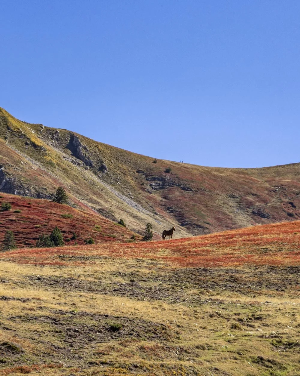
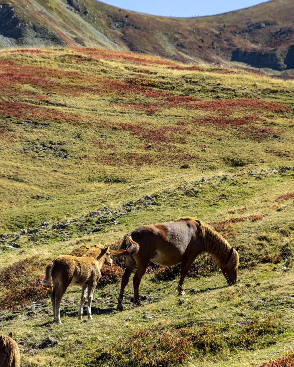
We were lucky enough to pass a herd of horses grazing and then galloping across the plains which was quite something to witness.
The horses have created what looks like additional walking tracks, but you’re basically heading straight at this point so you can’t go wrong.
We were walking in autumn and the mountains were covered in red bushes which made the gorgeous views even more special. We showed our guesthouse host the pictures later and she said they were blueberry bushes!
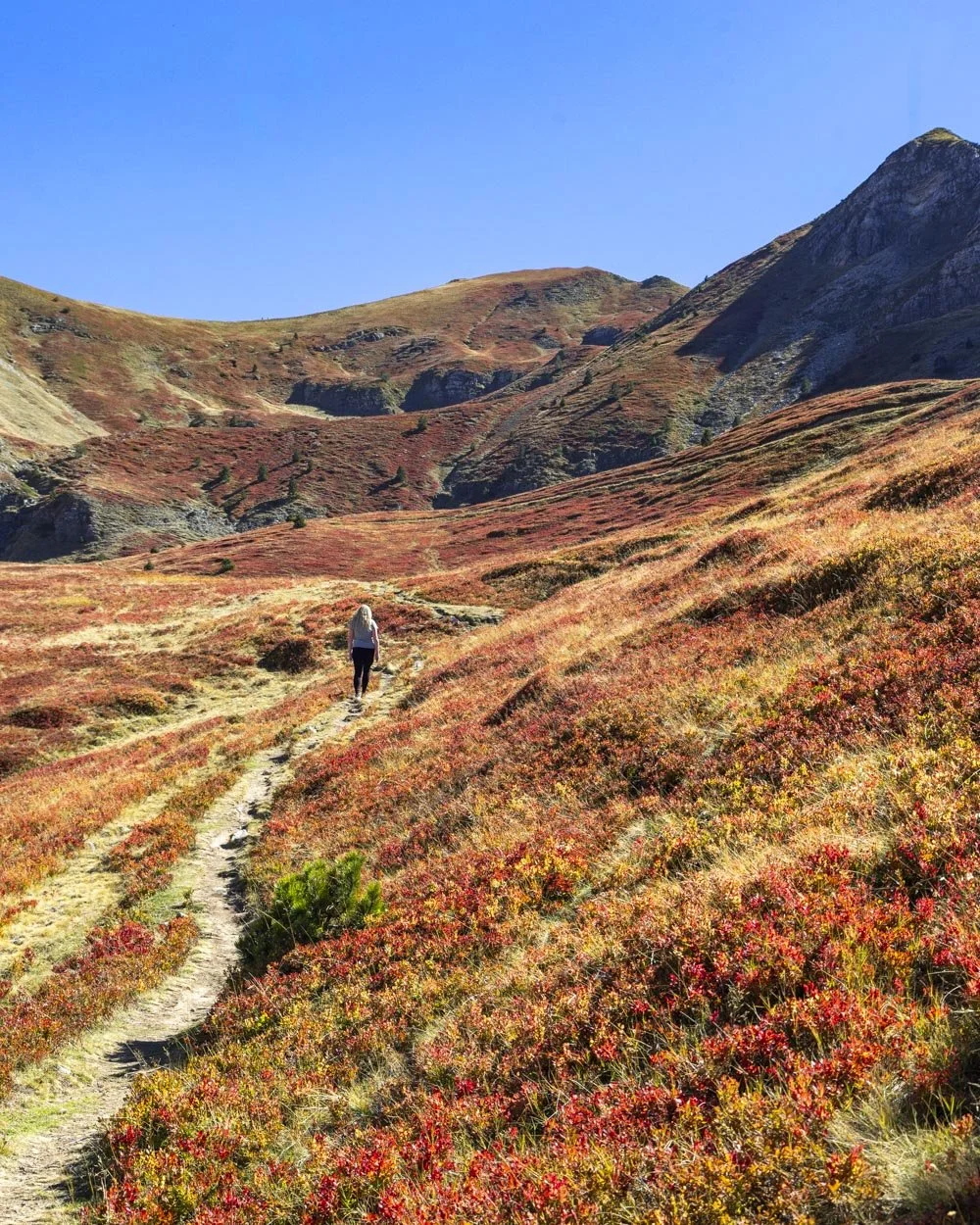
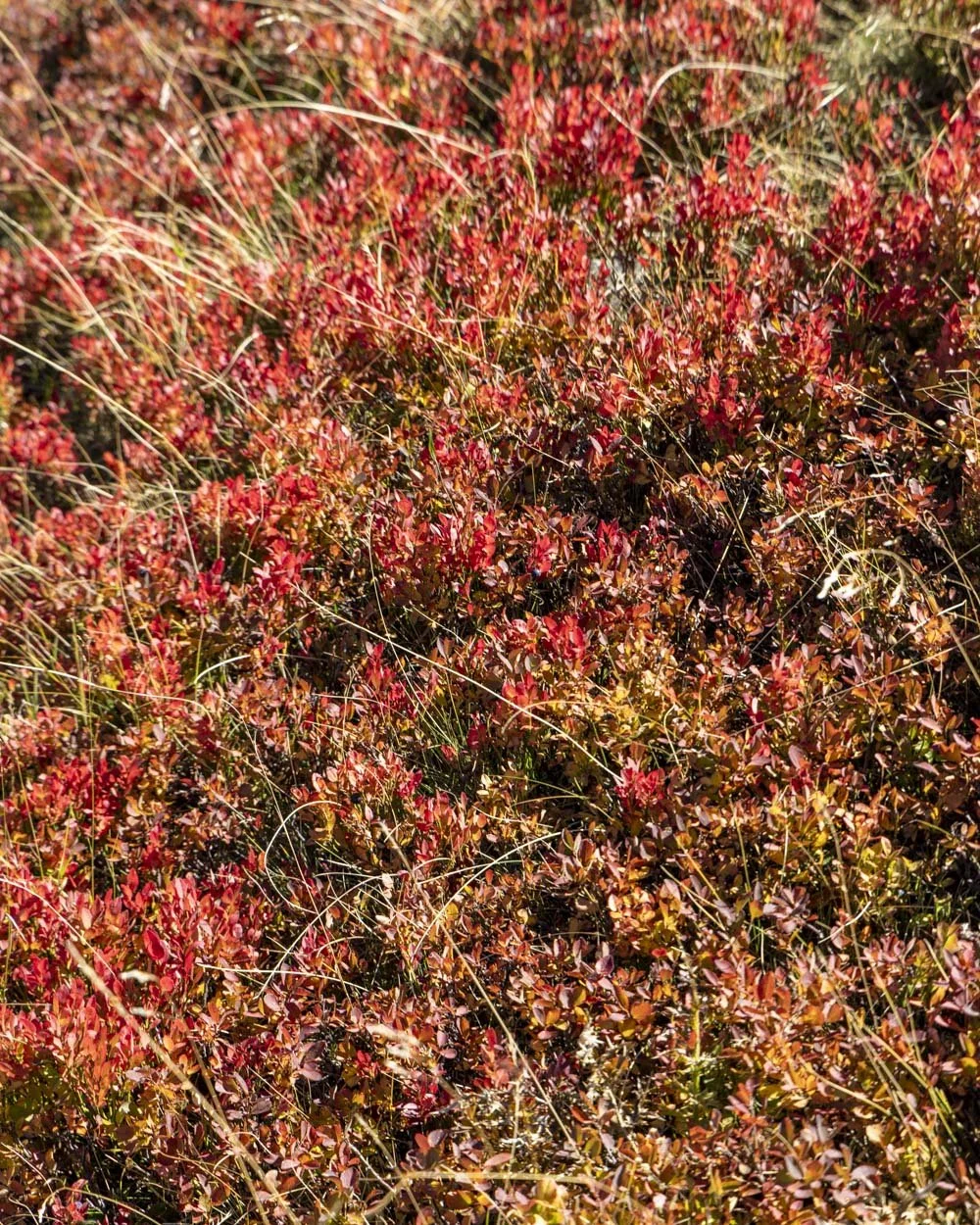
If that’s true you could have a feast when they are in bloom because there were quite literally thousands of them!
So many that the mountains were basically painted red, it was quite surreal and a completely unexpected treat.
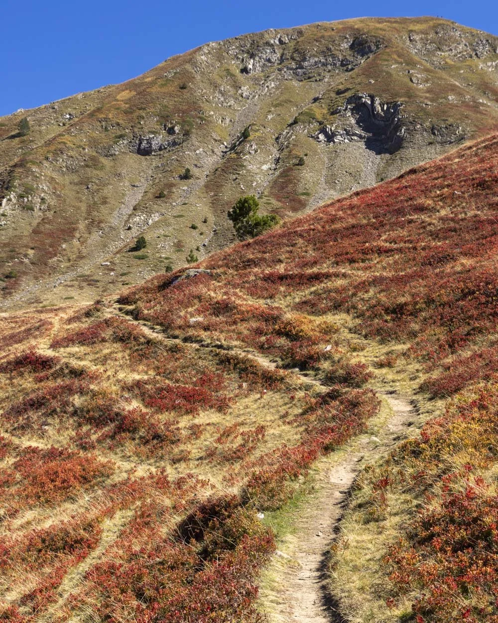
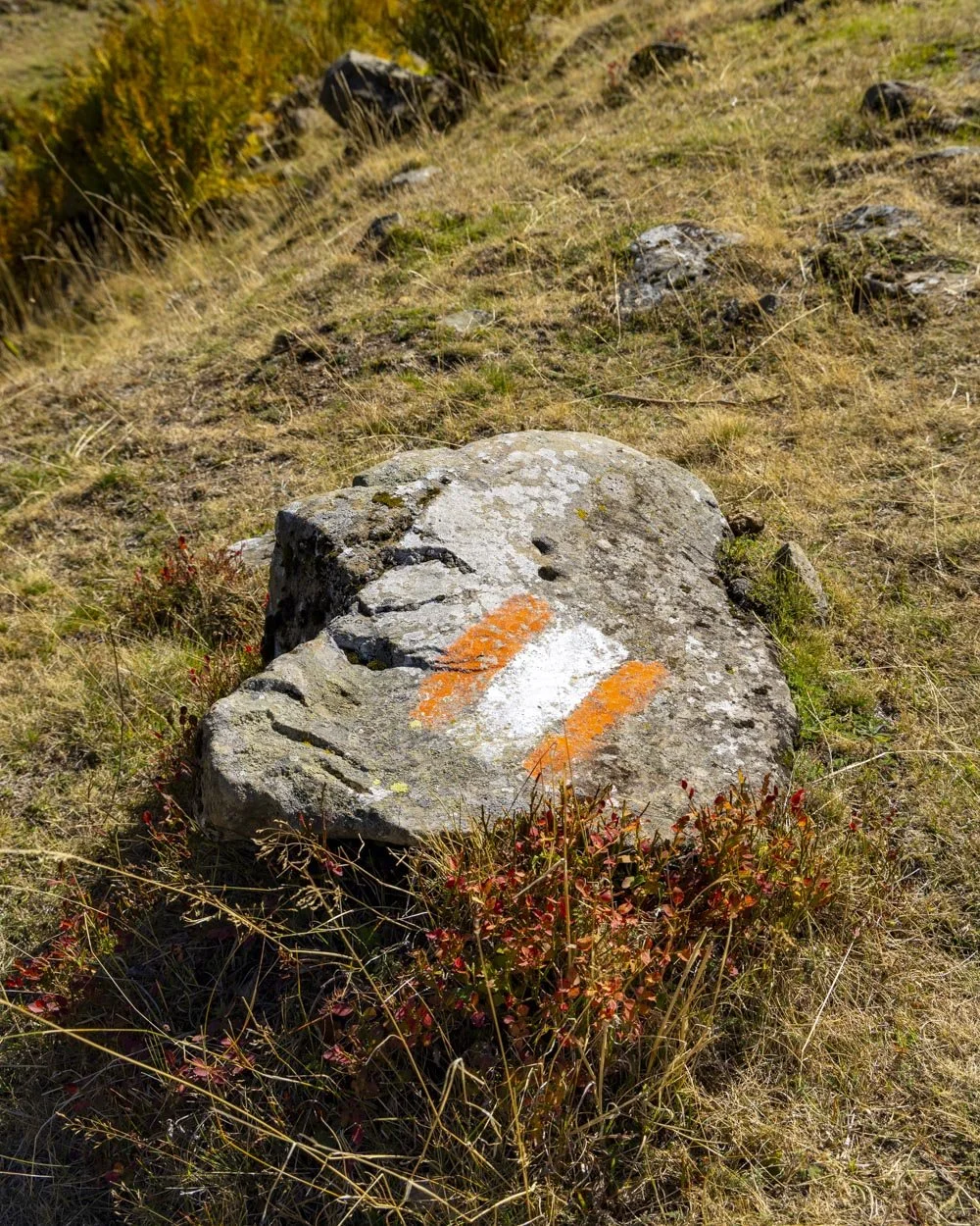
At the 2.7km mark, just after the path has curved left, we picked up the first sign we were going the right way in the form of a painted rock.
Roughly 50m later take the right fork and you will see a second painted rock. Approximately 150m further on there’s a sort of crossroads, keep straight here.
Reaching the ridge and Papadijes Peak
Just beyond this the track gets a bit rocky and it’s now steeper again. It’s not a scramble but it’s much rougher.
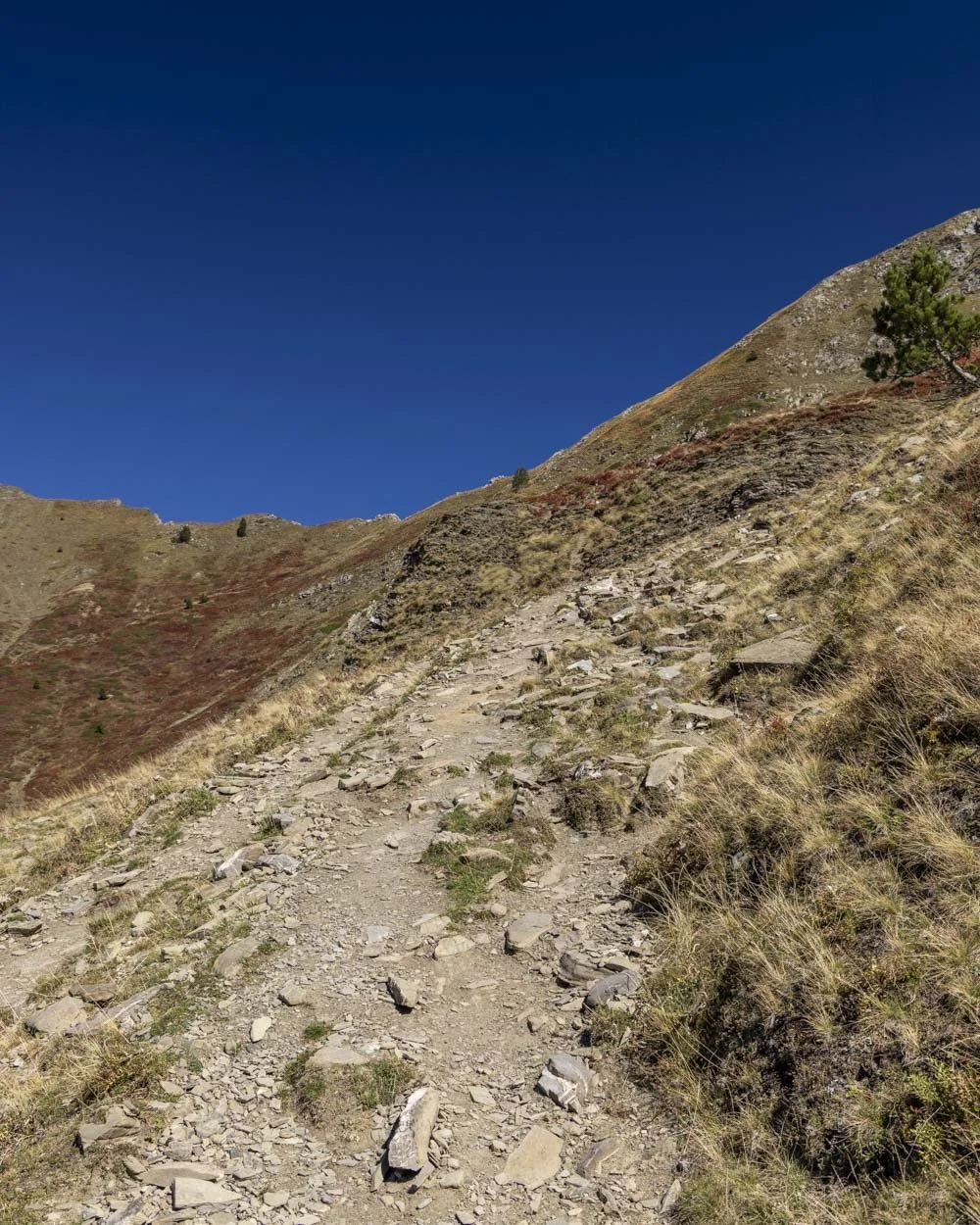
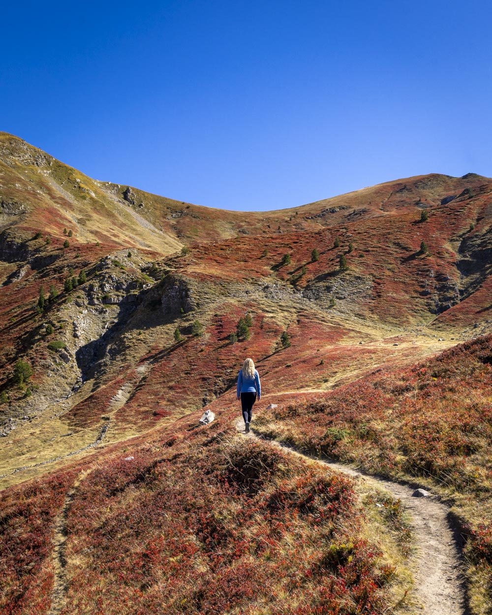
This steeper rockier section lasts for about 800m but there are smoother patches inbetween. The gradient then significantly slackens and the path gets better for the final 100m to the top of the ridge which you’ll reach approximately 4.1km into the track, having climbed 700m in elevation.
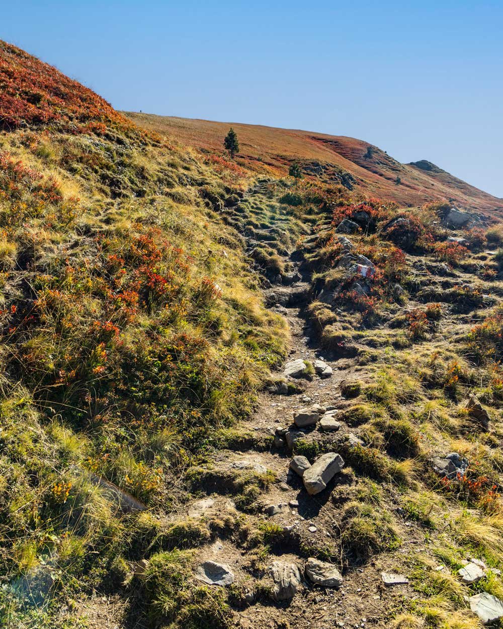
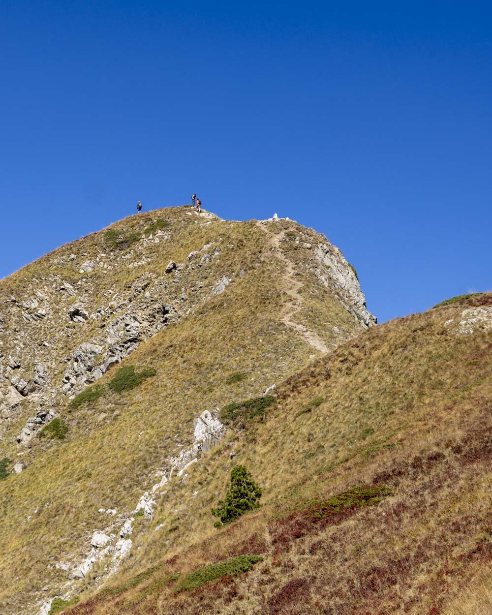
From here Vajusha Peak is 350m away to the right. However, before you go you can make the short side quest to the top of Papadijes Peak, which is a 250m detour (each way) to the left.
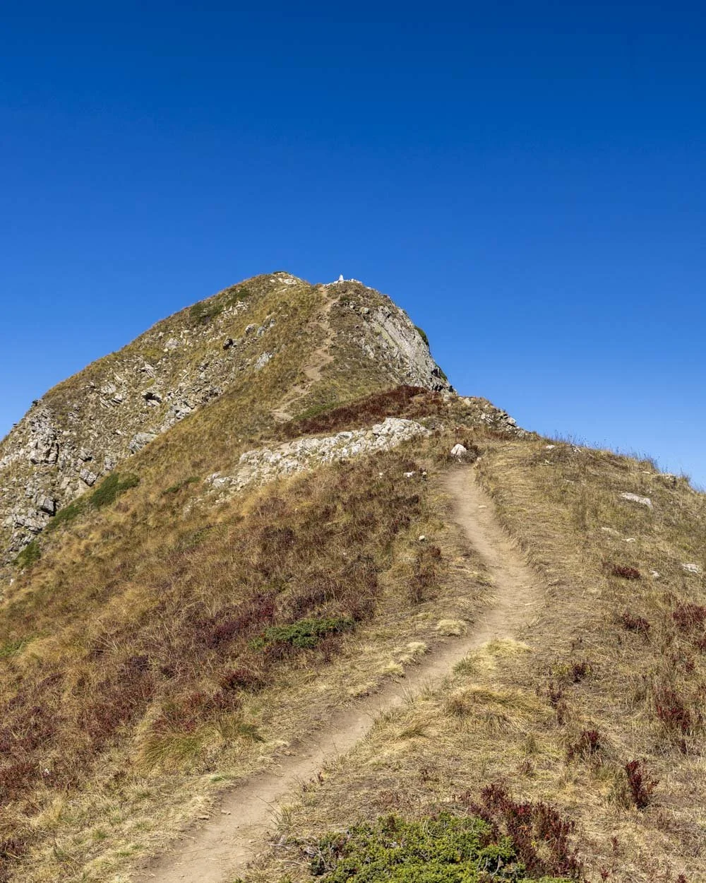
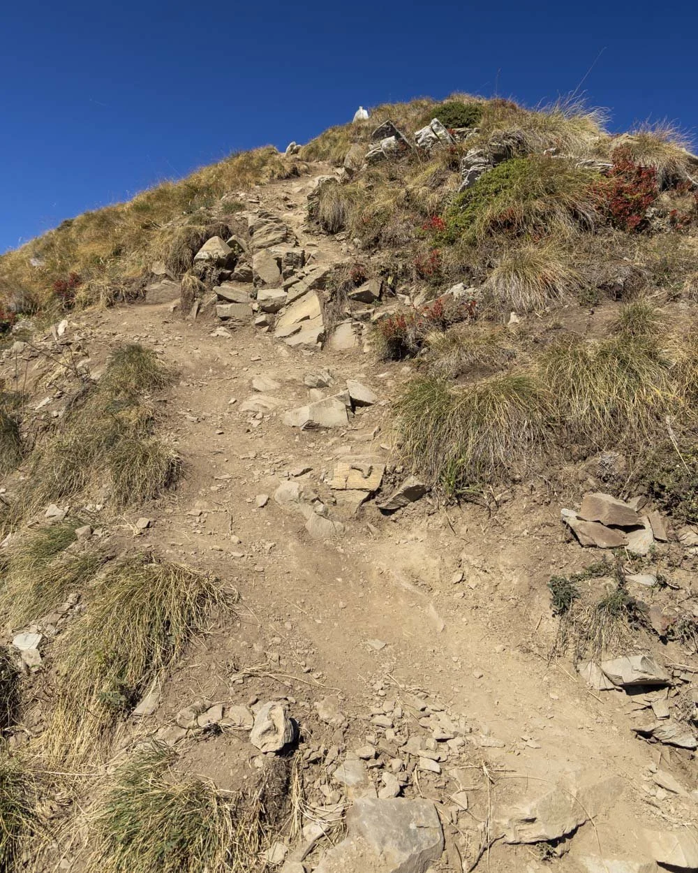
The path up starts nicely but then gets steep and very loose just before you reach the top. This was fine on the way up but a bit hairy coming down. I stuck to the grassy verge where possible, especially after watching people skid down!
Still, despite that kind of terrain being my least favourite, it was worth it to see the views! There are layers upon layers of mountains and even a sliver of sparkling blue lake in the far distance.
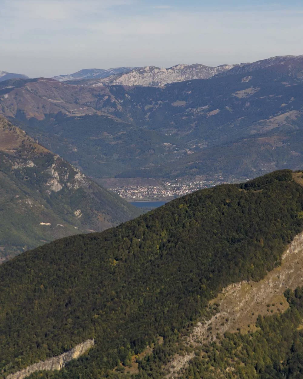
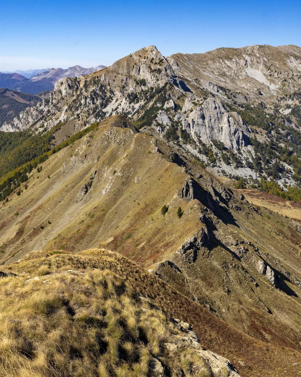
It’s a bit how I imagine the Dolomites might look but without the crowds! It does offer a very different view to Vajusha Peak so if you don’t mind that brief slippery section it is worth the small amount of extra climbing (40m in elevation).
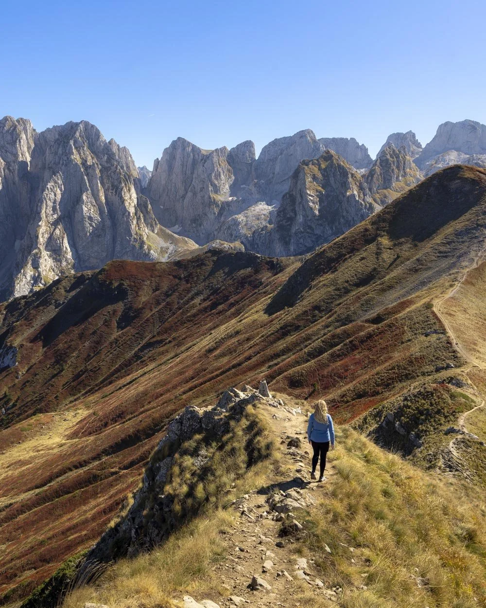
There’s space to sit and relax on the grassy slopes and it would make for a lovely lunch spot, more so than Vajusha Peak which is more dirt than grass.
Vajusha Peak summit
Once back on the lower ridge you have 350m of steep climbing on a dirt path to the reach Vajusha Peak. This final section covers another 85m in elevation gain, but only the final 200m is very steep. The first 150m is easy and gradual.
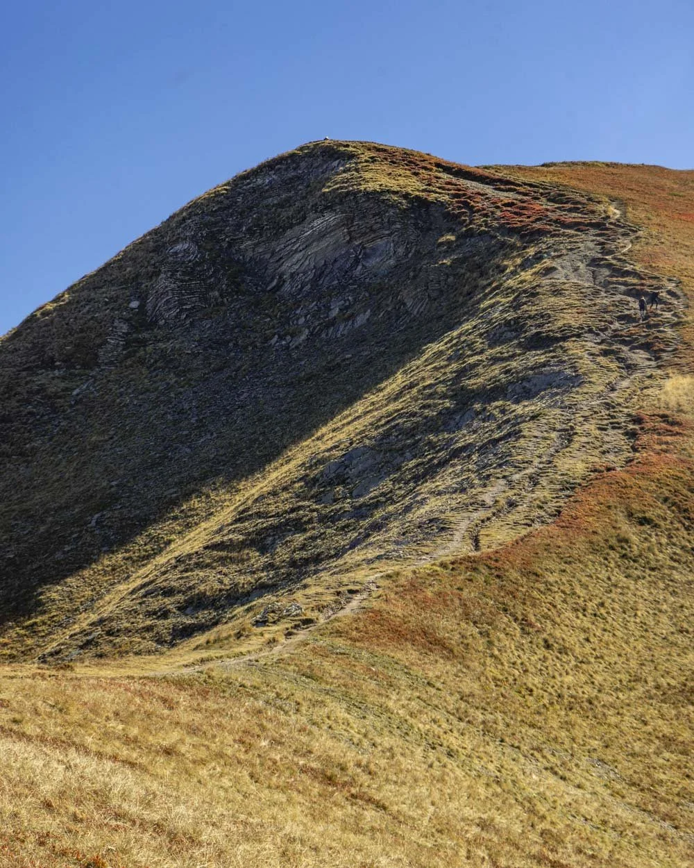
On the way up it’s not slippery at all and even on the way down there are some rocks and verges to break the descent, or you could just move down quickly which I chose to do for most of it.
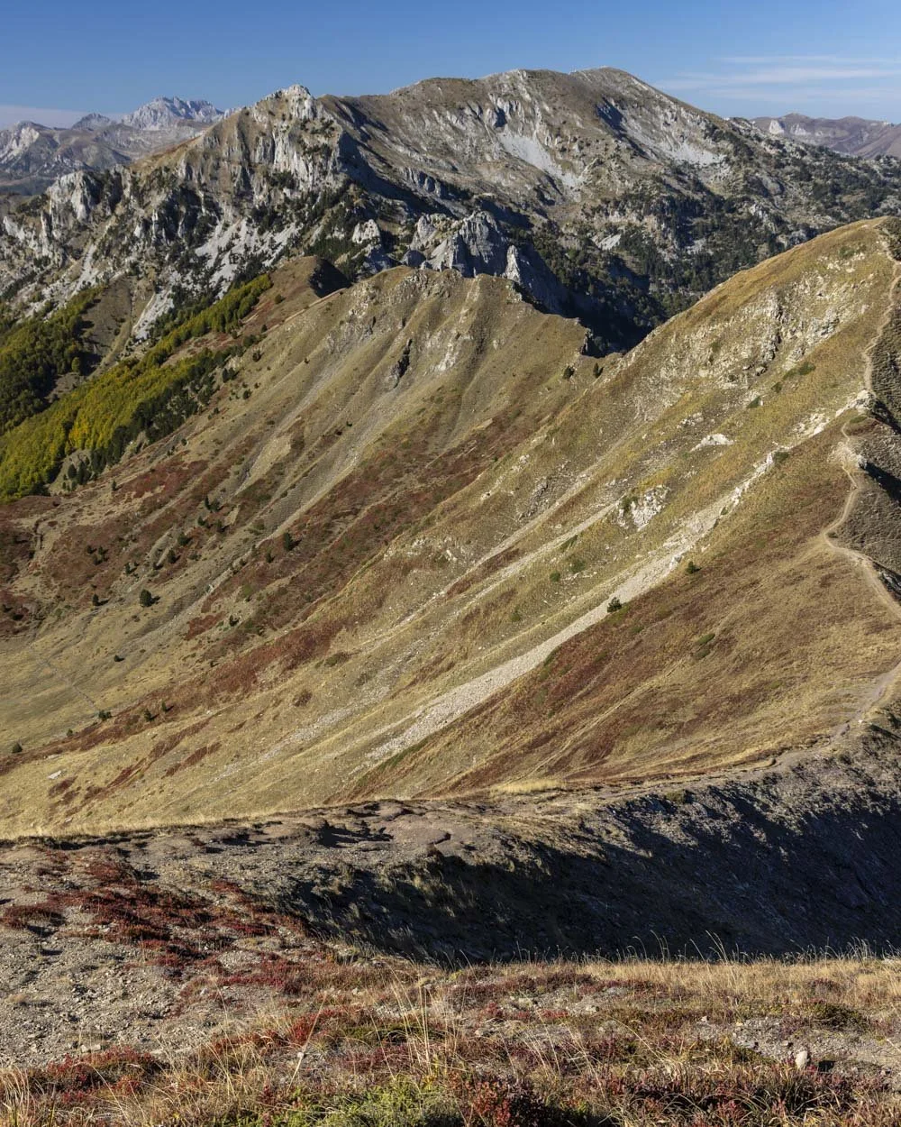
I was worried when climbing up that I would hate going down, but it honestly wasn’t bad and way better than coming down from Papadijes Peak.
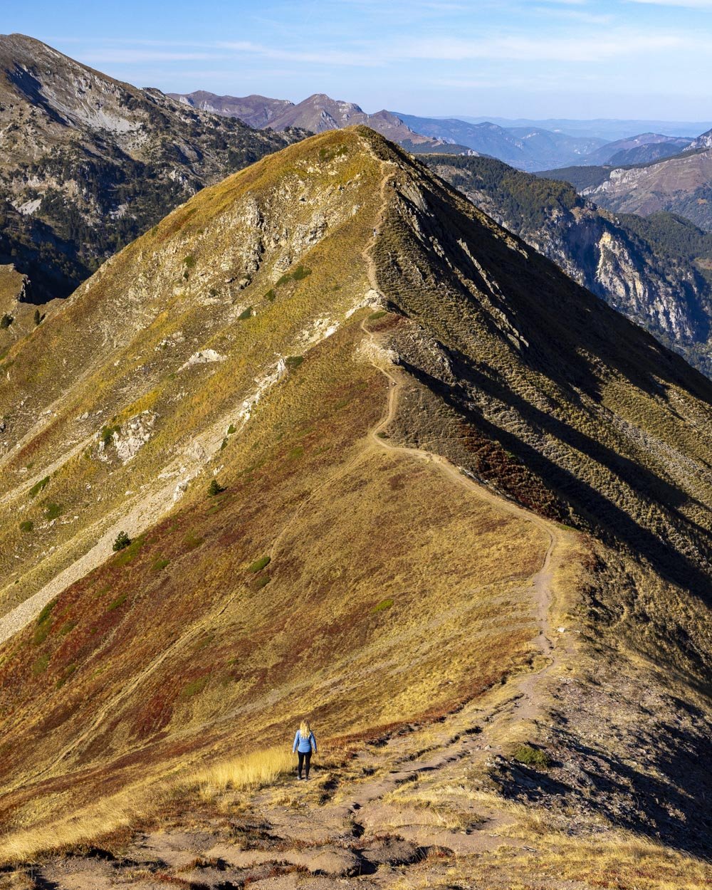
The top of Vajusha Peak is absolutely spectacular. I could go on and on about its beauty but you really have to see it for yourself!
It was wild and dramatic in October, but I imagine it’s even more majestic in May and early June when the mountain tops would be snow-capped.
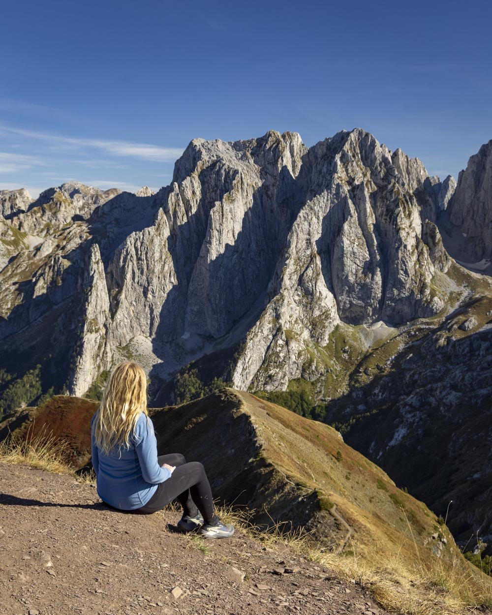
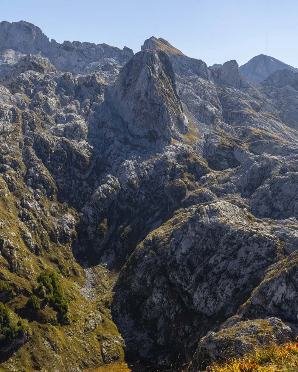
The peak itself has a decent amount of room to admire the views and take pictures, but it is dirt rather than grass, so it’s not the best for sitting and relaxing.
There were only a handful of people who had walked up from the Montenegrin side when we visited, so though we weren’t alone as we had been on the rest of the track, it was still quiet, especially if you compare it to something like the Valbone Pass hike.
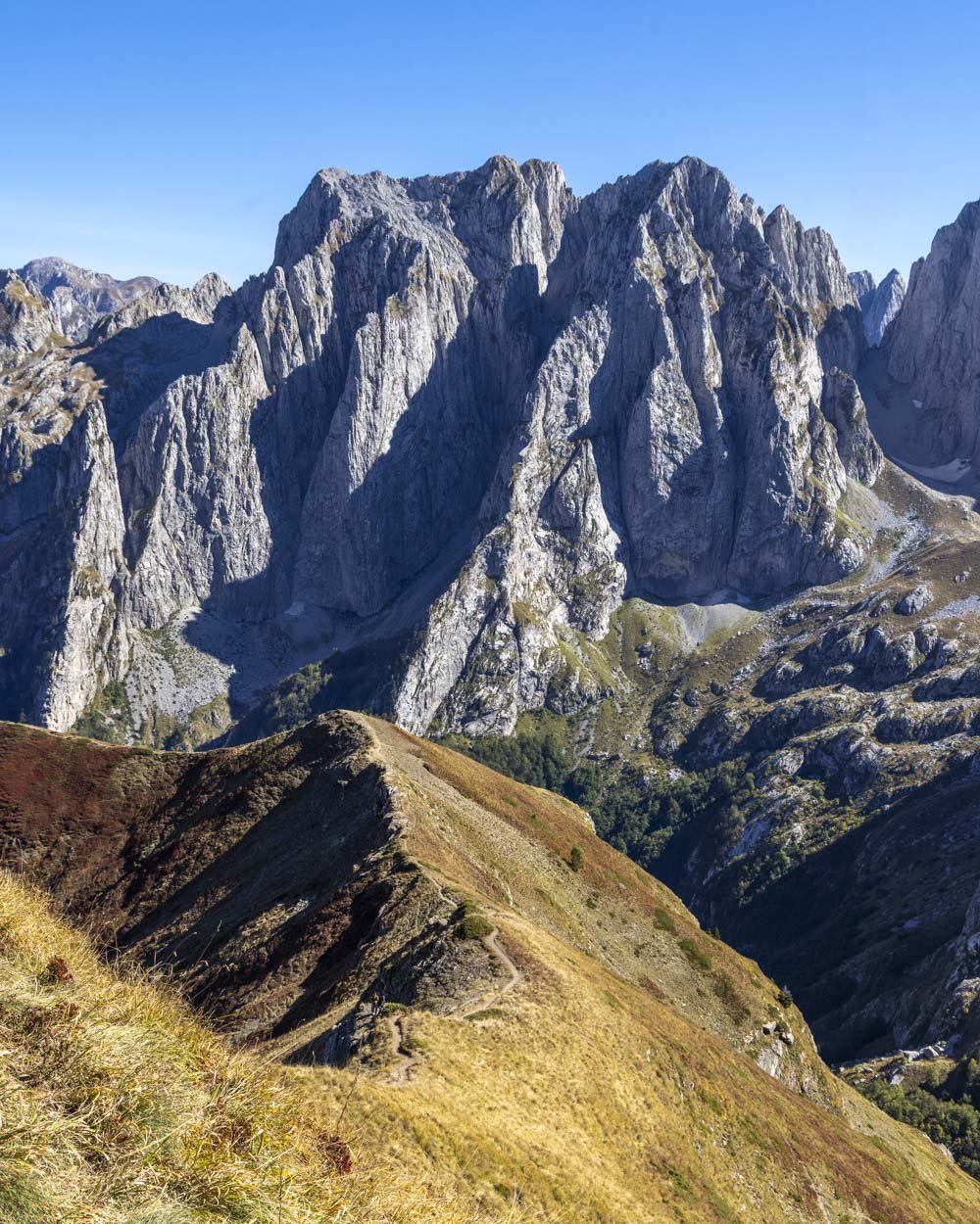
The ridge detour - a must do!
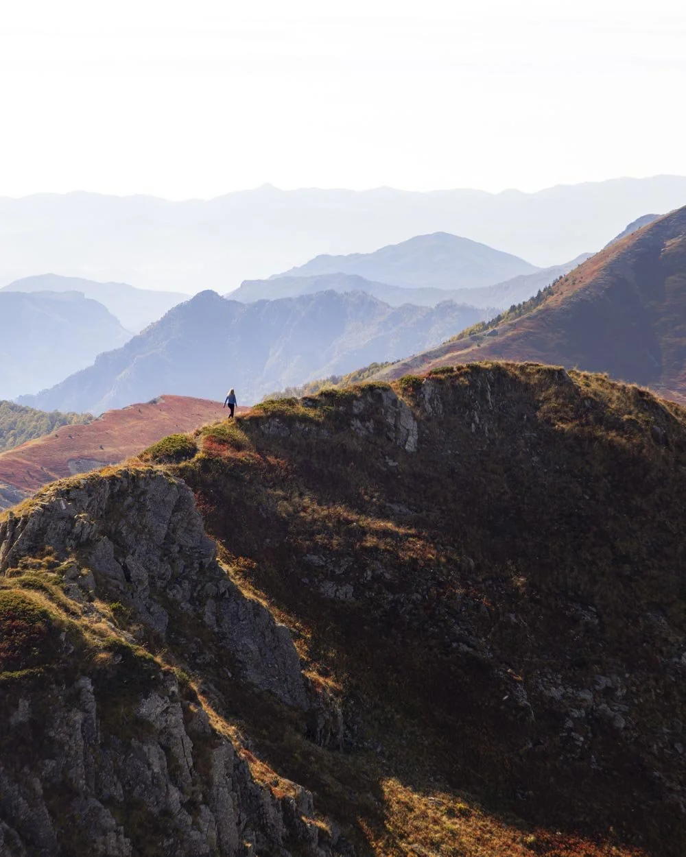
We headed along the ridge for a few hundred metres to see what the circuit track was like. Although we ultimately decided it looked a bit too sketchy for us, even walking the first few hundred metres is so worth it for the views and the fact it’s a narrow ridge which is always a bit exciting!
The track begins easily enough but then gets narrower as you begin briefly descending. It flattens before climbing somewhat steeply uphill and there is one bit which is a very easy scramble. It’s on grippy rock which feels very safe in dry conditions.
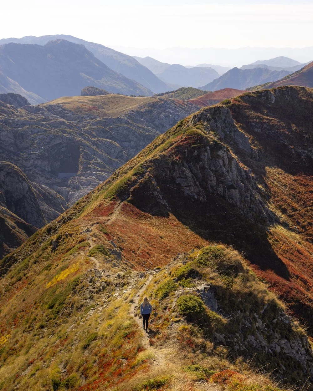
The ridge itself is more exposed than any part of the main track up to the peak and I probably wouldn’t do it in windy conditions. When dry it was narrow enough to feel adventurous without being scary and the views in all directions were amazing.
Once you’ve climbed the first little hump you can look down to the left and you’ll see the gravel path leading sharply downhill and this is where you would go to make a circuit.
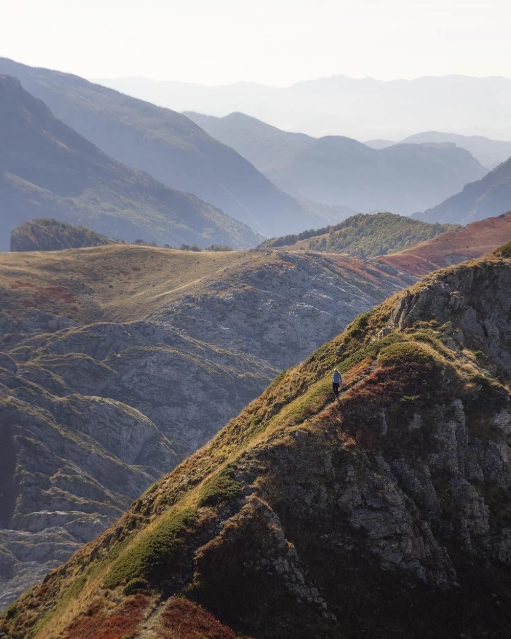
It’s very steep and loose with only tussocks to grab onto if you were to slip. For me that was a step too far, though I might have given it a go as an ascent route.
You can also walk downhill on a better path to the right to reach another small outcrop with great views. But to be honest even if you don’t do that, walking up the first hump after Vajusha Peak is very worthwhile and only involves a small amount of extra elevation gain.
The descent
The main descent from Vajusha Peak is not too difficult, the first 200m is the steepest and then you have the rocky section below the ridge where you need to watch your footing, but it’s not too challenging.
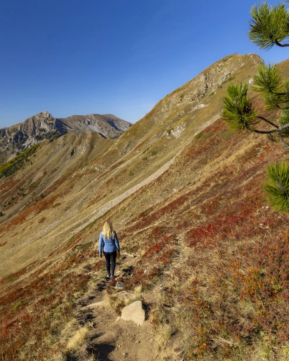
I thought some of the loose soil on the woodland path might be quite slippery, but happily it was much better than expected.
Overall I would say it’s a fairly good descent and as mentioned, no more difficult than descending either side of the Theth Valbone hike.
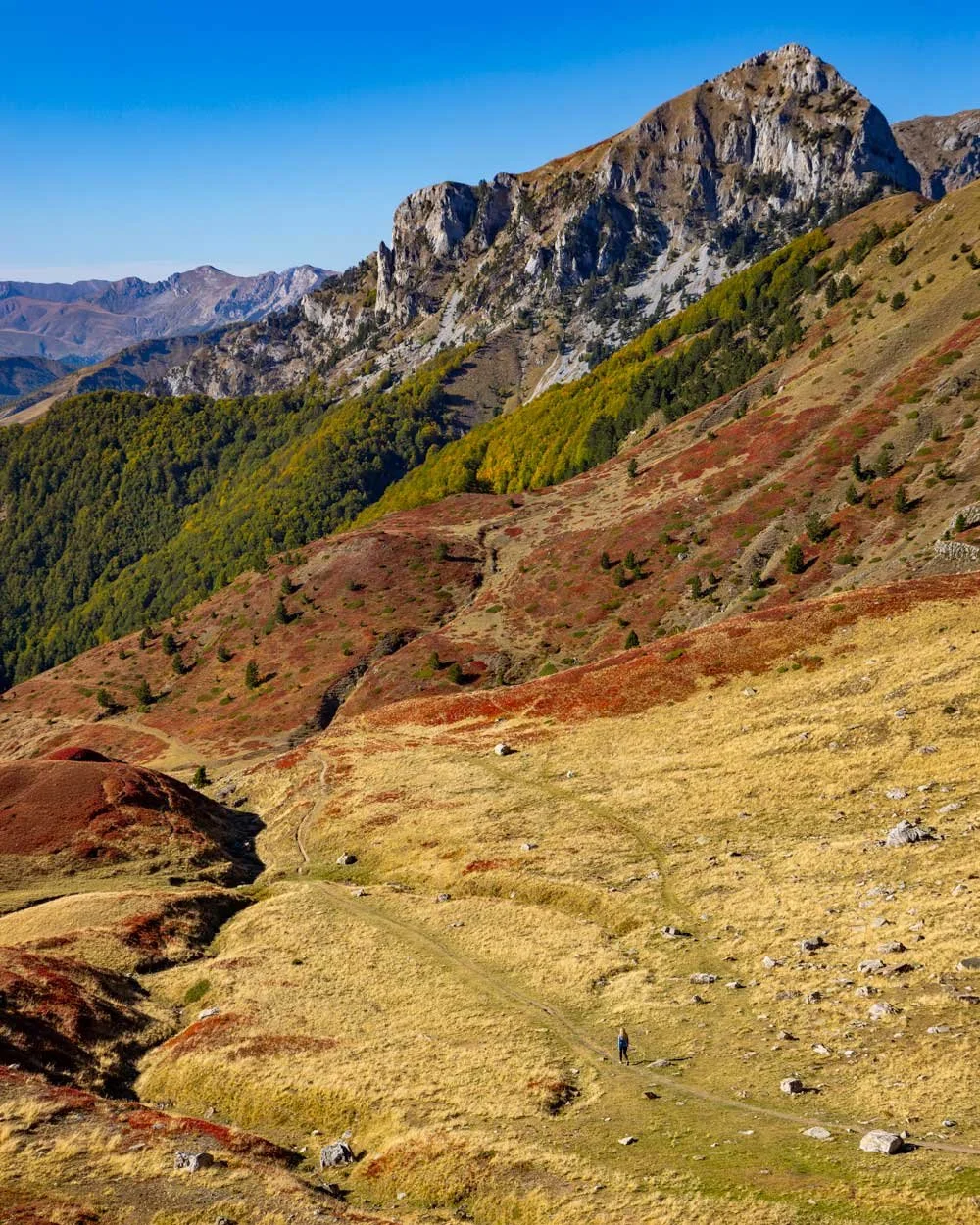
It may be more slippery if wet but otherwise it’s steep but not scrambly, though poles might come in handy if you have any knee issues.
Where to park for the Vajusha Peak hike
The closest place to park is around here on Google maps, there is no official car park, but room for cars to pull fully off the road. The final 1.5km is a gravel/stony road so if you can’t take your car on that terrain you’ll need to pull off the road at the last point it’s sealed which is here on Google maps.
That does mean you’ll have a bit more uphill walking on the way back to your car which isn’t ideal, but also not a deal breaker!
The trailhead is located in Lëpushë, about a 2 hour drive from Shkoder.
There are no facilities at the trailhead or anywhere along the track.
Where to stay in Lepushe
We stayed at Shtëptizat Suka Mkushit, which has cute little A-frame wooden cabins with a good sized comfy bed and a real wood fire in the room which made it super cosy in the evenings.
The bathroom has a good shower with plenty of hot water and it’s not a wet room which is always a bonus! The cabins have a partial rural, partial road view, but the road is quiet so it’s not an issue with regards to noise. I was initially a bit worried that sound would carry between the cabins as they are made of wood and close together, but surprisingly that wasn’t the case.
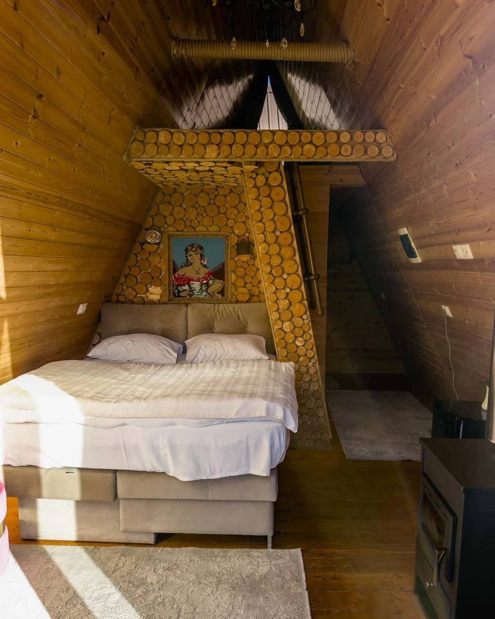
There is wifi and cell service though the wifi occasionally drops out. A lovely homemade breakfast is included and there’s a lot of it so I felt better fueled for this hike than any other one we did in Albania!
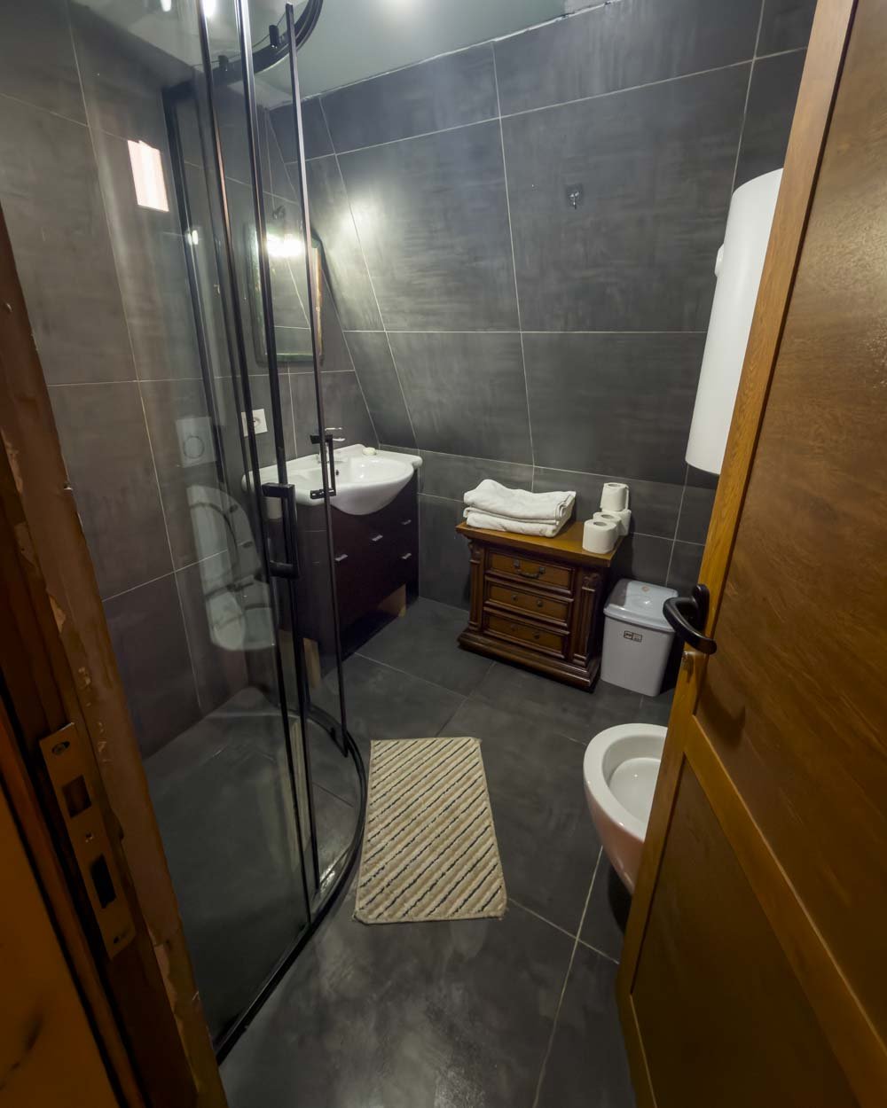
The family that run the guesthouse are very sweet and there’s a nice atmosphere among guests too, perhaps it’s the more offbeat location, but this was the chattiest, friendliest guesthouse we stayed at in Albania.
You can check out the reviews and prices on:


This post may contain affiliate links, meaning at no additional cost to you, that we will earn a small commission if you click through and decide to make a purchase. This helps towards the costs of running our website. Thanks for your support.
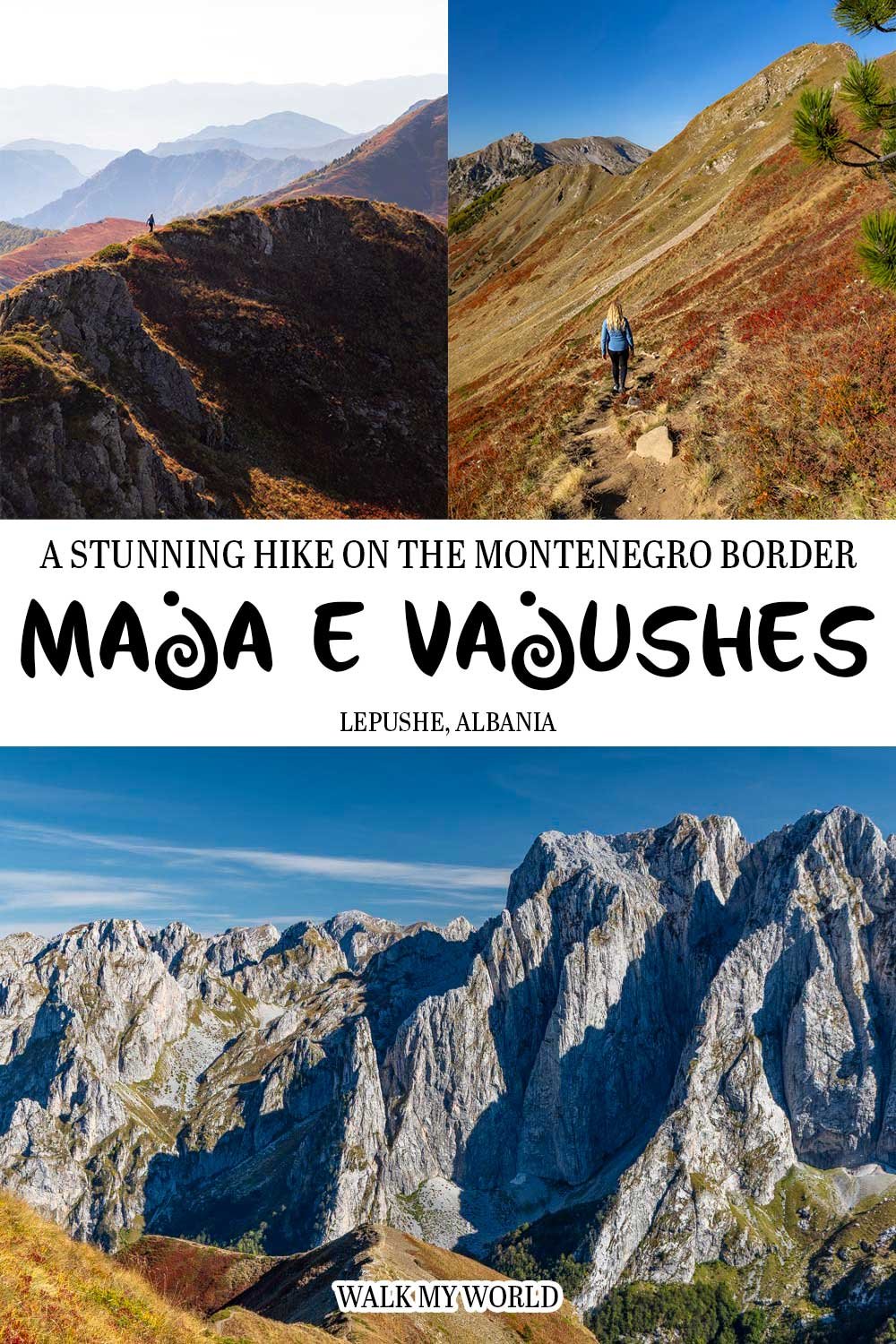
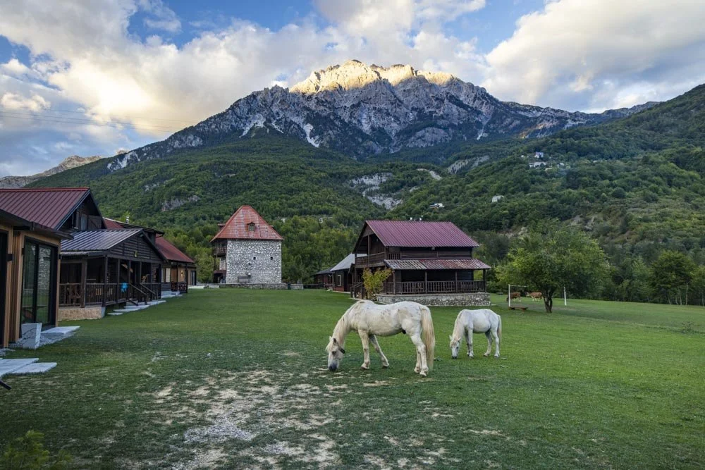
Everything you need to know about the Vajusha Peak hike, one of Albania’s most incredible mountain walks, including difficulty, trail conditions and which detours are worth doing.