
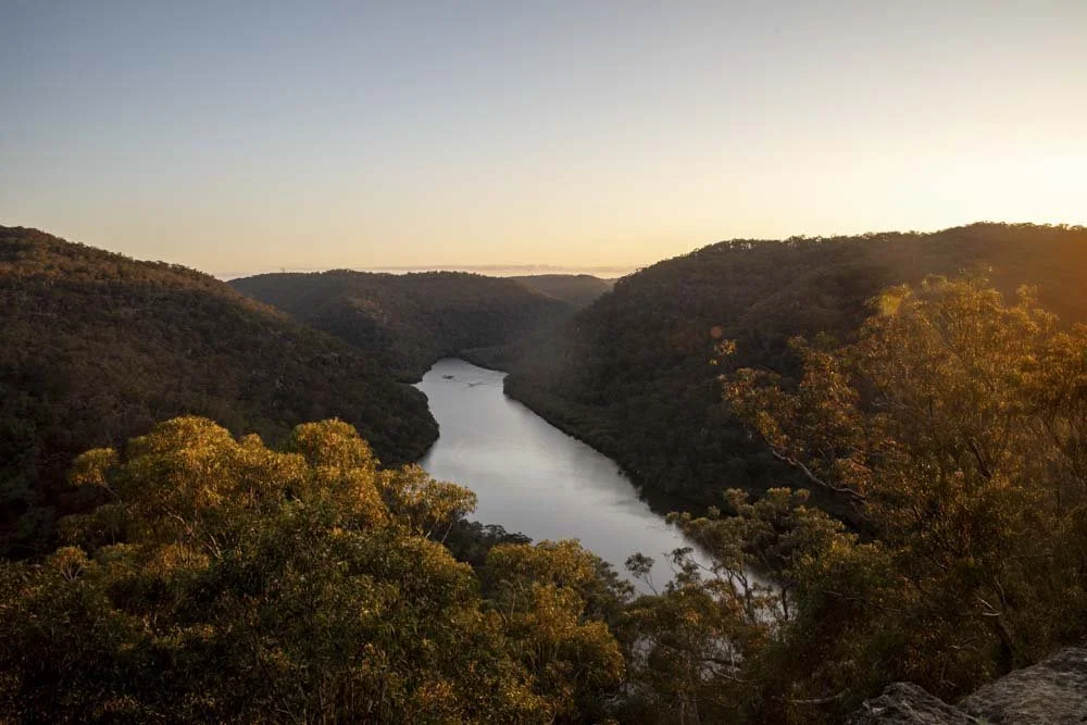
For our first couple of years living in Sydney we didn’t own a car and I was surprised and delighted by just how many walks you can get to by public transport.
Some of the journeys are a means to an end, but some are so scenic they actually add to the adventure! We’re not including any journeys which are arduous and require changing modes of transport, we’re keeping it to manageable routes, but oftentimes you will have to walk a short distance to reach the trailhead.
Whether you’re looking for harbour, coastal, mountain or bush walks we have you covered in this guide.
The best Sydney walks you can reach by public transport
1: The Karloo Track, Royal National Park
Distance: 2.7km each way
Elevation gain: 200m
Difficulty: Moderate
How to get there by public transport: Train to Heathcote Train Station
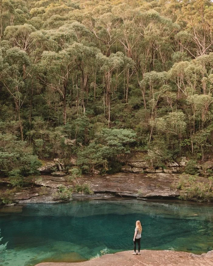
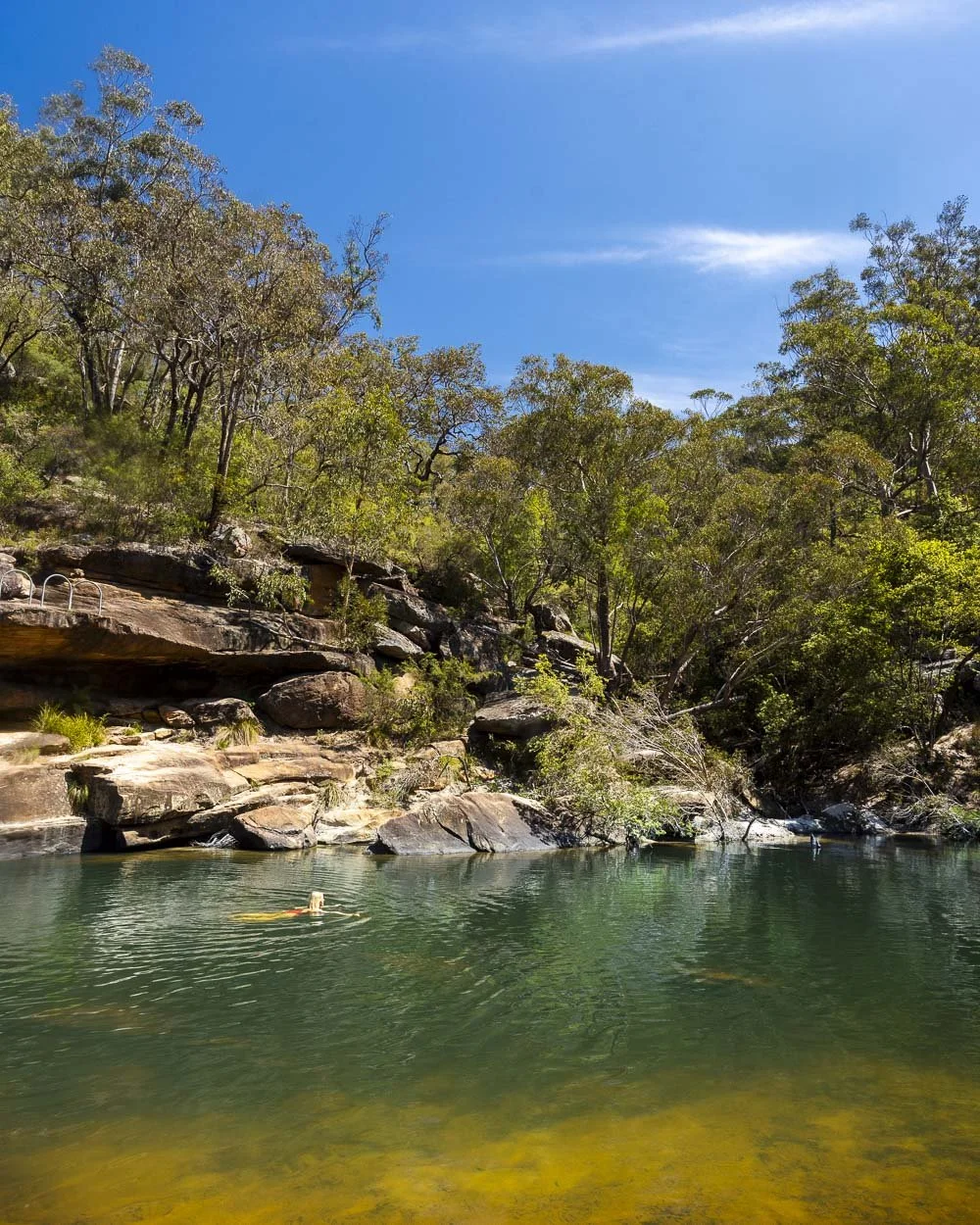
The Karloo Track is a pretty bushwalk which takes you to the incredible Karloo Pool, one of the best wild swimming spots in Sydney. The water is a glorious emerald in colour and the pool is huge. It’s big enough to swim laps in!
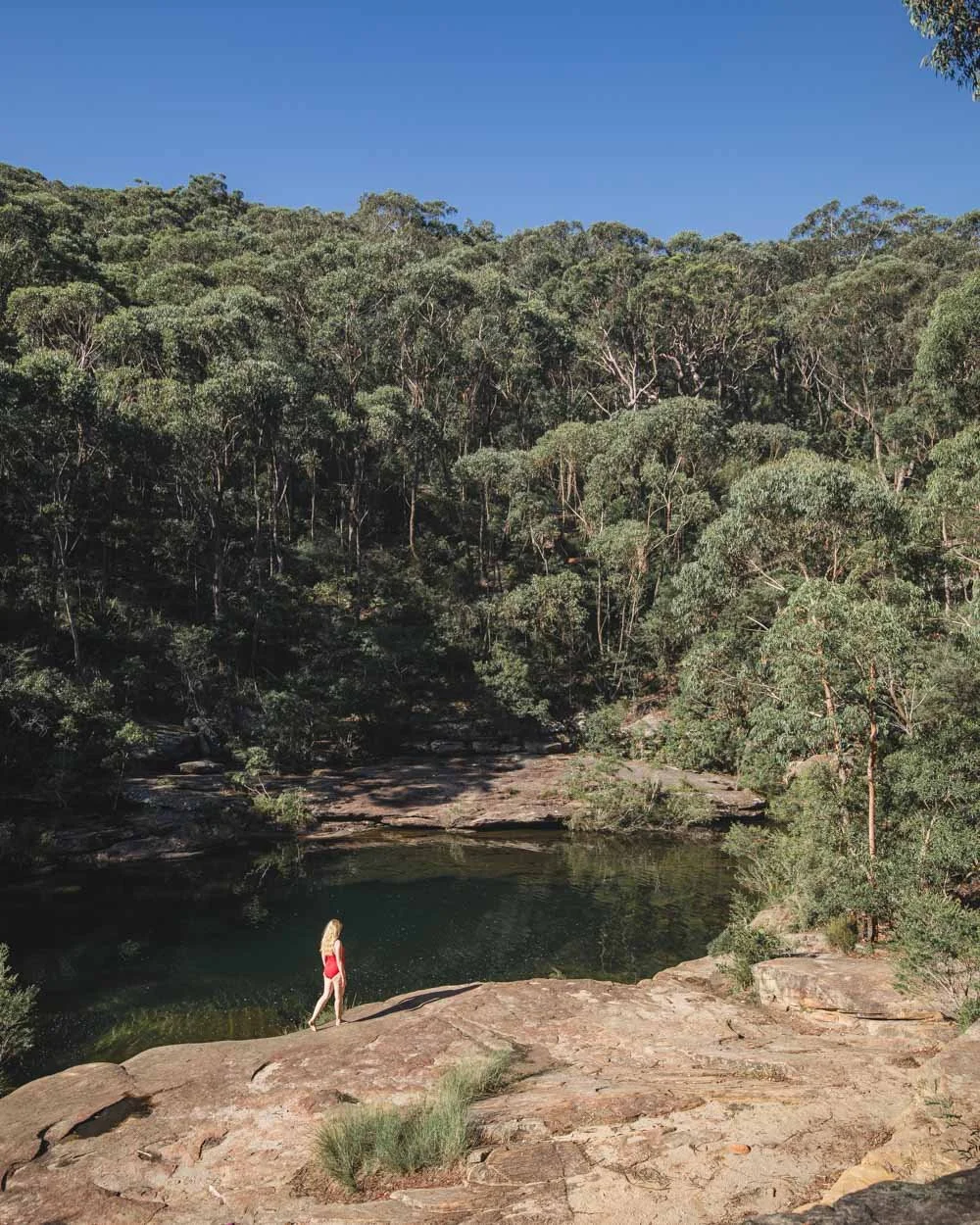
It’s surrounded by pristine bushland and the whole setting is simply spectacular. It doesn’t matter how many times we’ve visited, it has just as much wow factor every time.
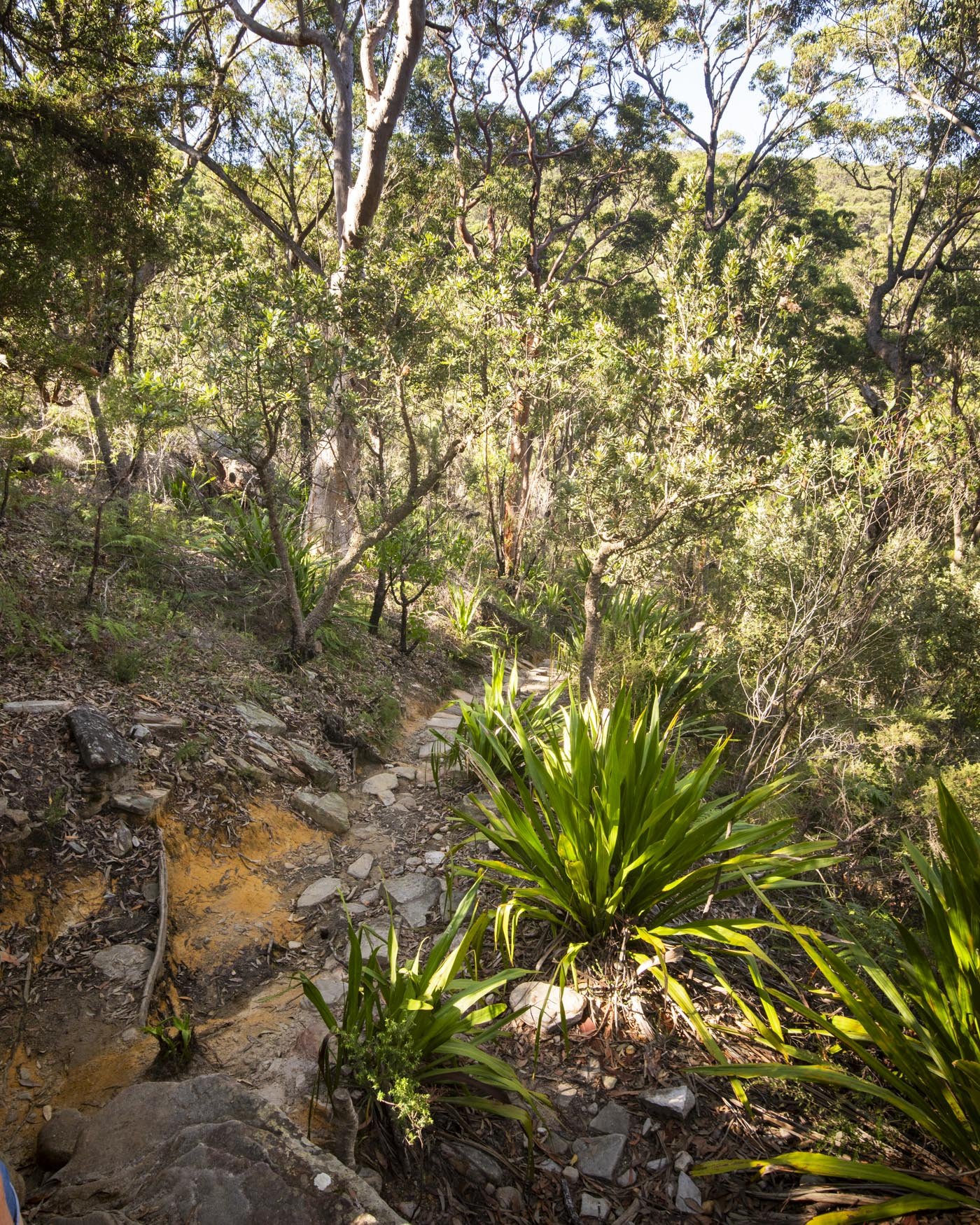
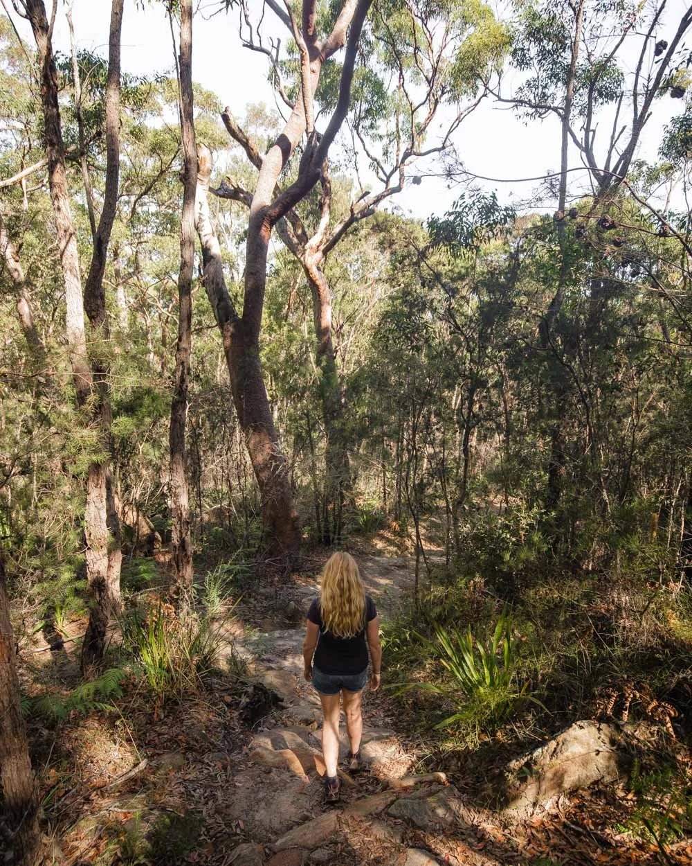
The walk to get there is along a maintained track, though it’s somewhat rough underfoot and it’s mainly downhill on the way.
It starts a few hundred metres from Heathcote train station which is on a direct line from Sydney central station. You can read our full trail guide here.
2: Hornsby Blue Gum Forest
Distance: 6.9km circuit (this includes the 2.4km return when coming from Hornsby station)
Elevation gain: 171km
Difficulty: Easy - moderate
How to get there by public transport: Train to Hornsby Train Station, then 10 minute walk to trailhead
This is no small statement, but the Hornsby Blue Gum Walk is one of our favourite Sydney trails and we’ve hiked A LOT of trails in Sydney.
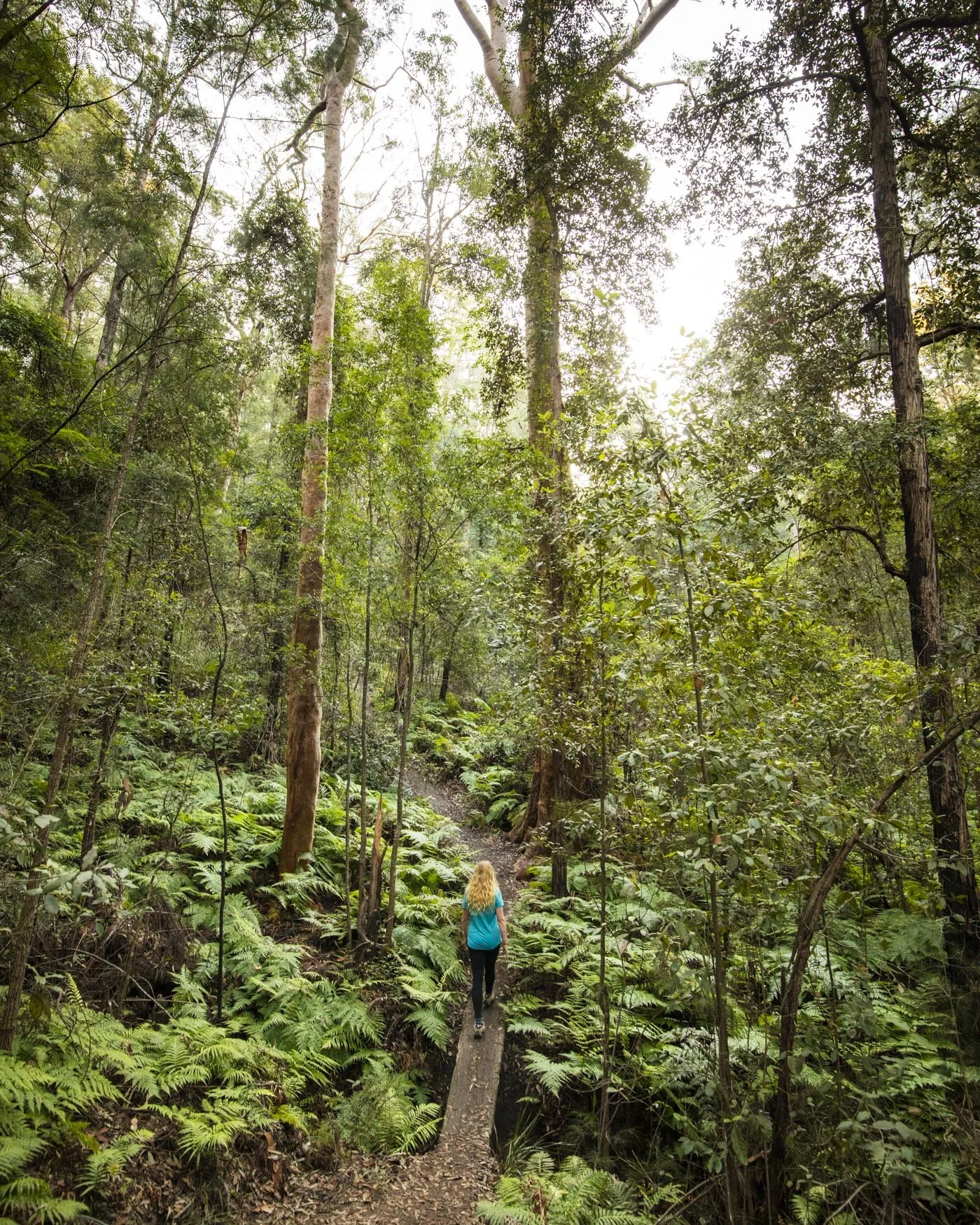
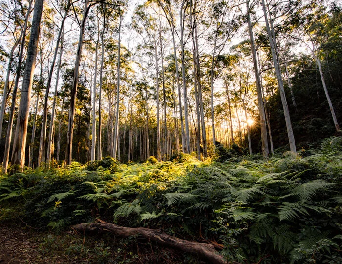
It’s so beautiful and varied, and it’s one of those walks where every single step is a delight. The highlights are those soaring blue gum trees, extensive valley of ferns, wandering along Berowra Creek and the overhangs along the way that look like honeycomb.
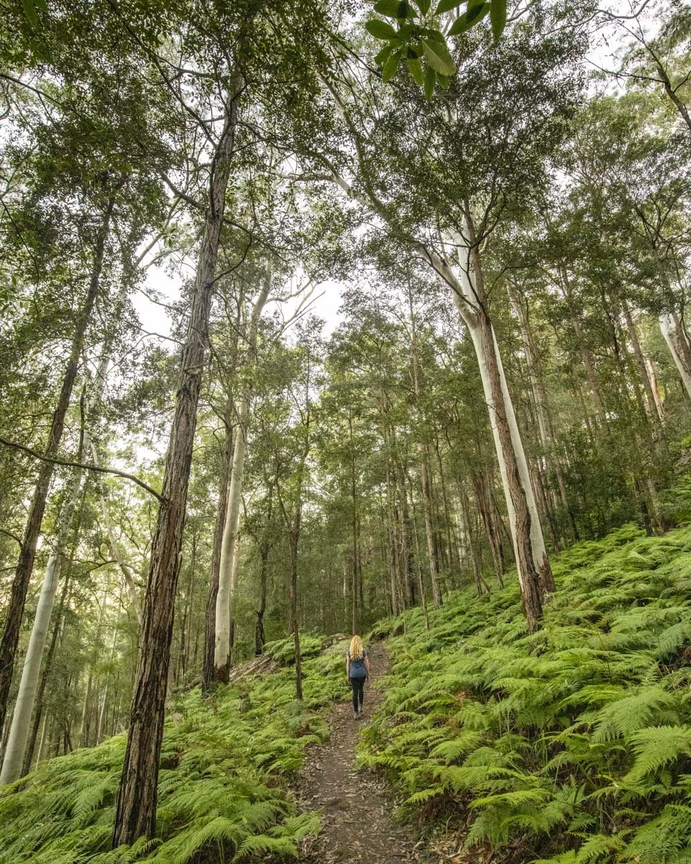
The track does have a few climbs and some easy scrambling, but it’s not a difficult walk. For a short trail, it packs in so much and you really feel like you’ve had an escape from the city.
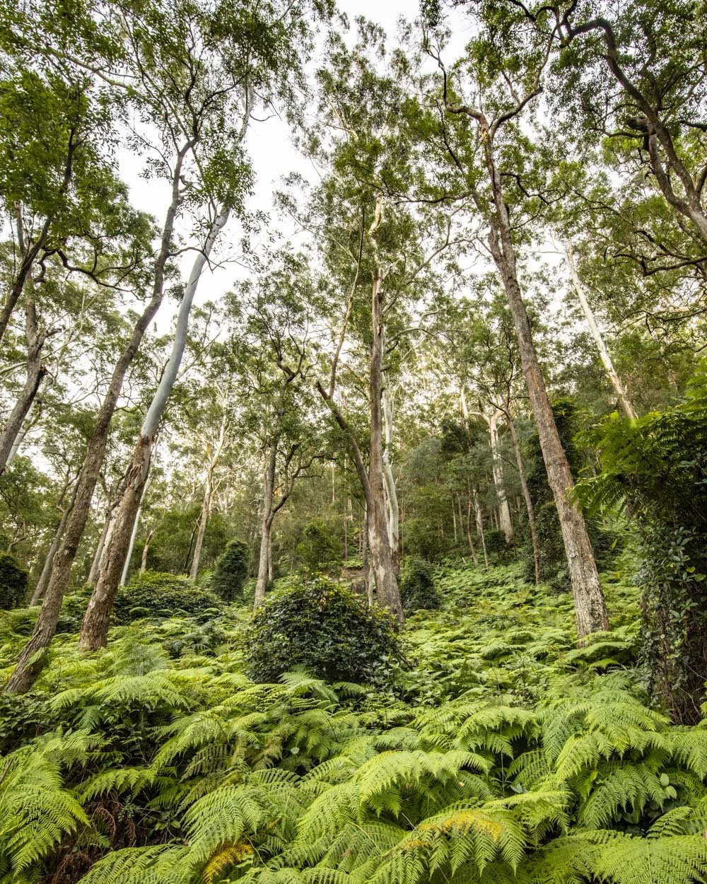
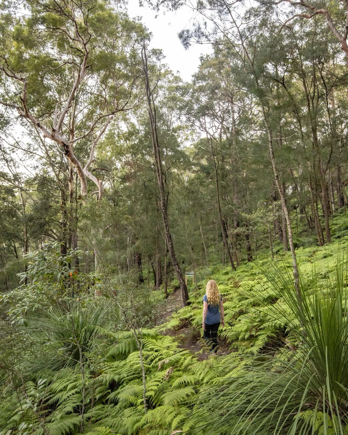
The first few times we did it we came by train from Sydney central station and though you have an extra hill to climb on the way back up to Hornsby station it’s on the Hornsby Heritage Steps which are pretty in their own right. You can read our full trail guide here, including directions from the train station.
3: South Head Trail, Watsons Bay
Distance: 3km circuit
Elevation gain: 60m
Difficulty: Easy
How to get there by public tranport: Ferry to Watsons Bay Wharf
This short easy walk is perfect for when you want a leisurely stroll without compromising on amazing views. The path is predominantly paved and there are only a few short sections which are uphill.
As well as glorious harbour views, you will pass two beautiful beaches and an old heritage lighthouse, which is definitely the most picturesque in Sydney.
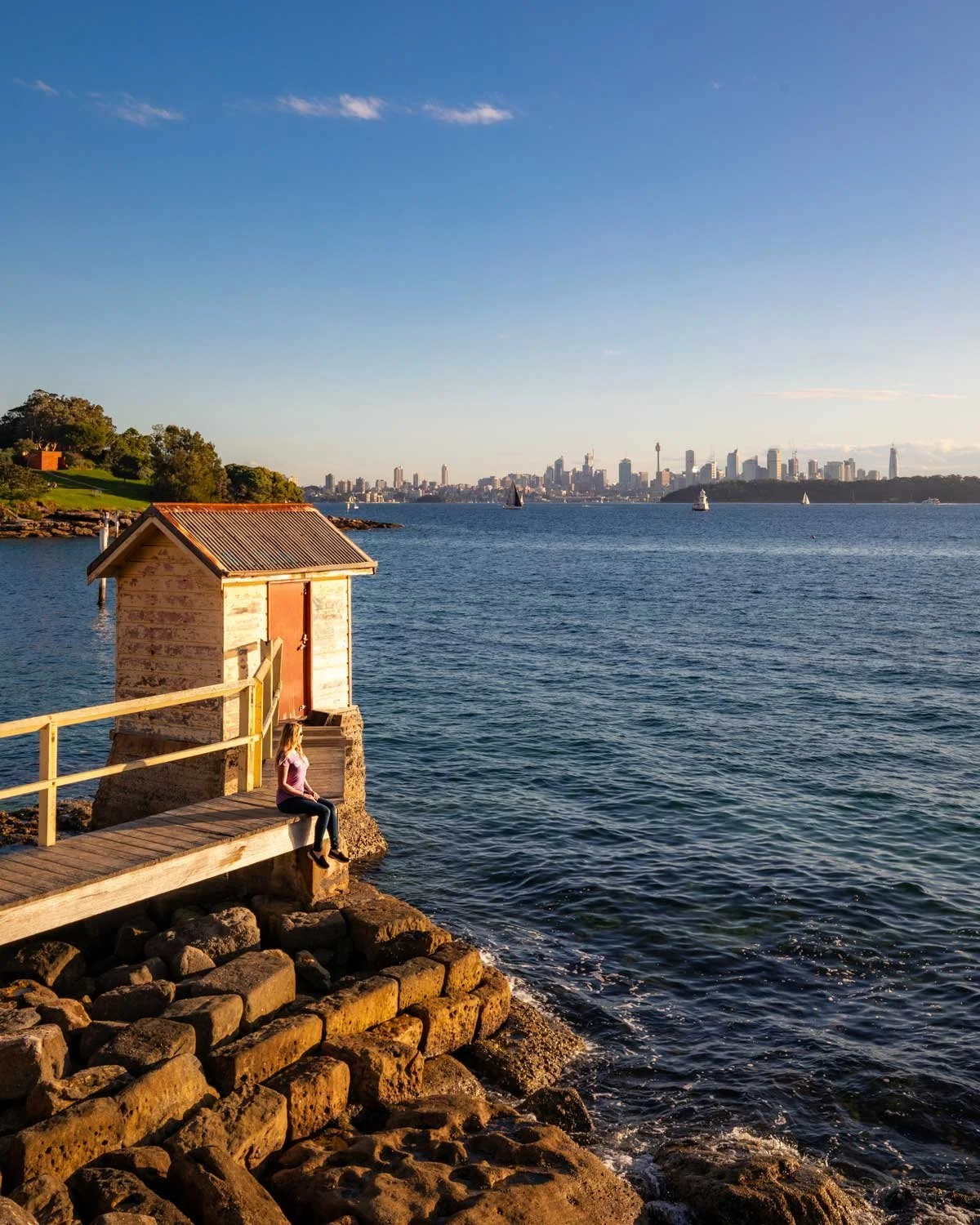
There are great views out to the craggy Middle and North Heads and the Pacific Ocean making it a great spot for whale watching if you’re planning to walk between May and October.
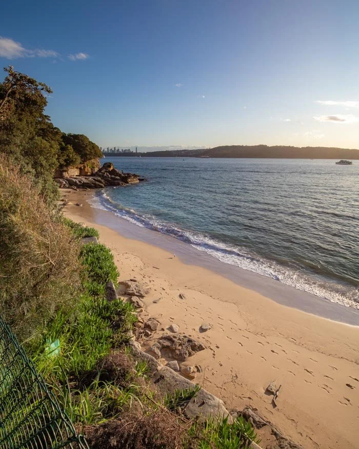

The walk starts and ends at Watsons Bay ferry wharf, which you can reach directly from Circular Quay ferry wharf and the journey is fabulous. Here’s our detailed trail guide.
4: Dee Why to Manly Walk
Distance: 6.4km one way
Elevation gain: 100m
Difficulty: Easy (or moderate via the low tide trail)
How to get there by public transport: B-Line Bus to Dee Why (Wynyard and North Shore)
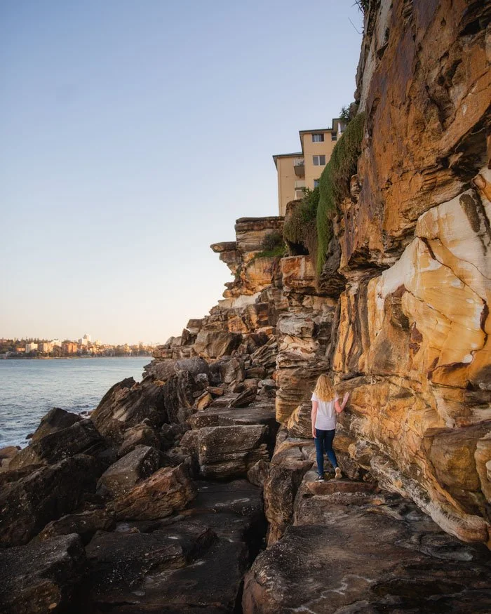
The Dee Why to Manly walk is one of the best coastal walks in Sydney. With incredible ocean views for almost the entire way, four gorgeous beaches and the chance to walk through the picturesque Manly Wormhole, it really does have it all.
It’s an easy walk with a good path and plenty of places to stop for a swim along the way.
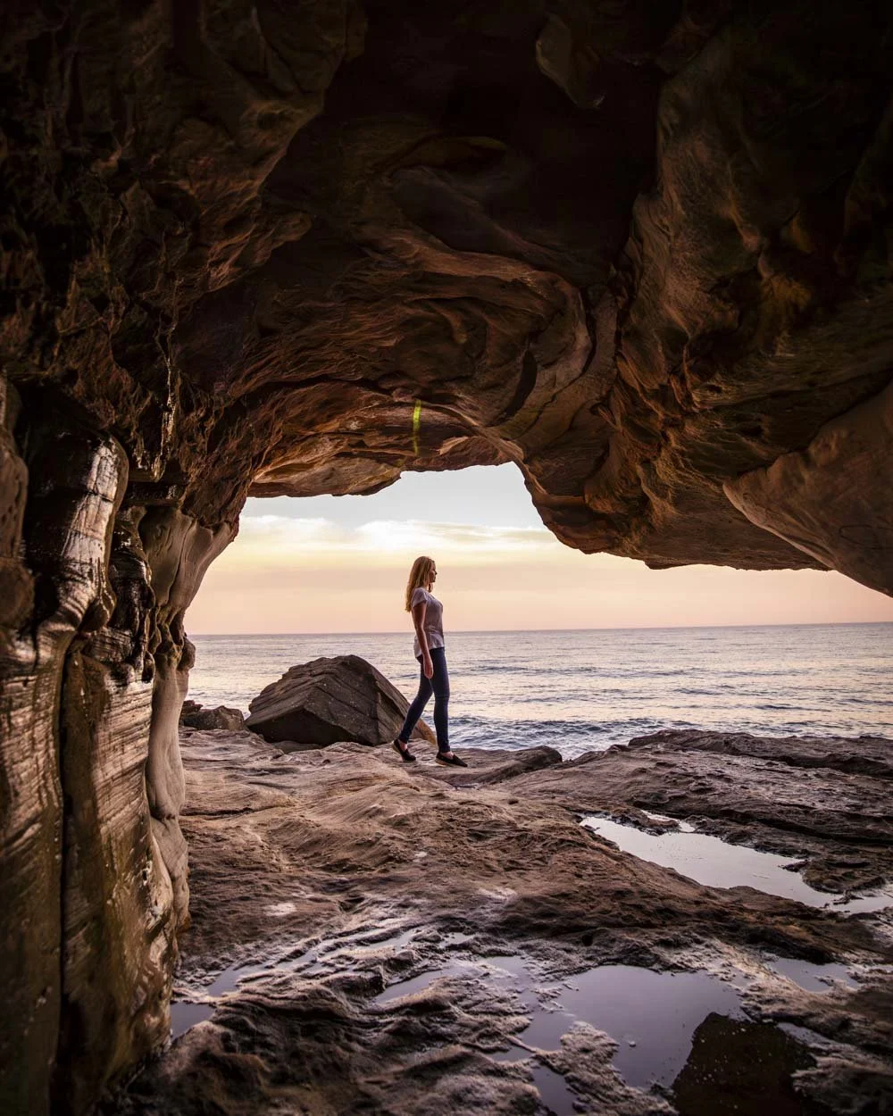
If you want to make the walk a little more adventurous aim to reach Freshwater Beach close to low tide (and slight swell) then you can walk the tidal path to Queenscliff, which is much more fun than the official route, details can be found here.
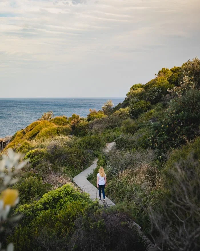
To reach the start of the walk you can take the bus to Dee Why and then take the ferry back to Circular Quay from Manly at the end.
5: Kingfisher Pool Track, Heathcote National Park
Distance: 5.4km return (includes the 1.4km return walk from Waterfall Train Station)
Elevation gain: 120m
Difficulty: Easy, but not flat
How to get there by public transport: Train to Waterfall Train Station
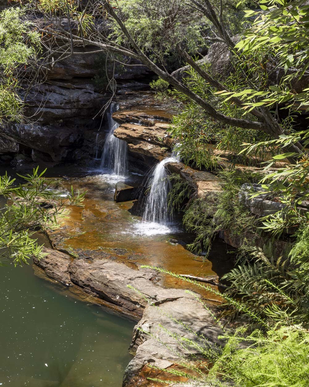
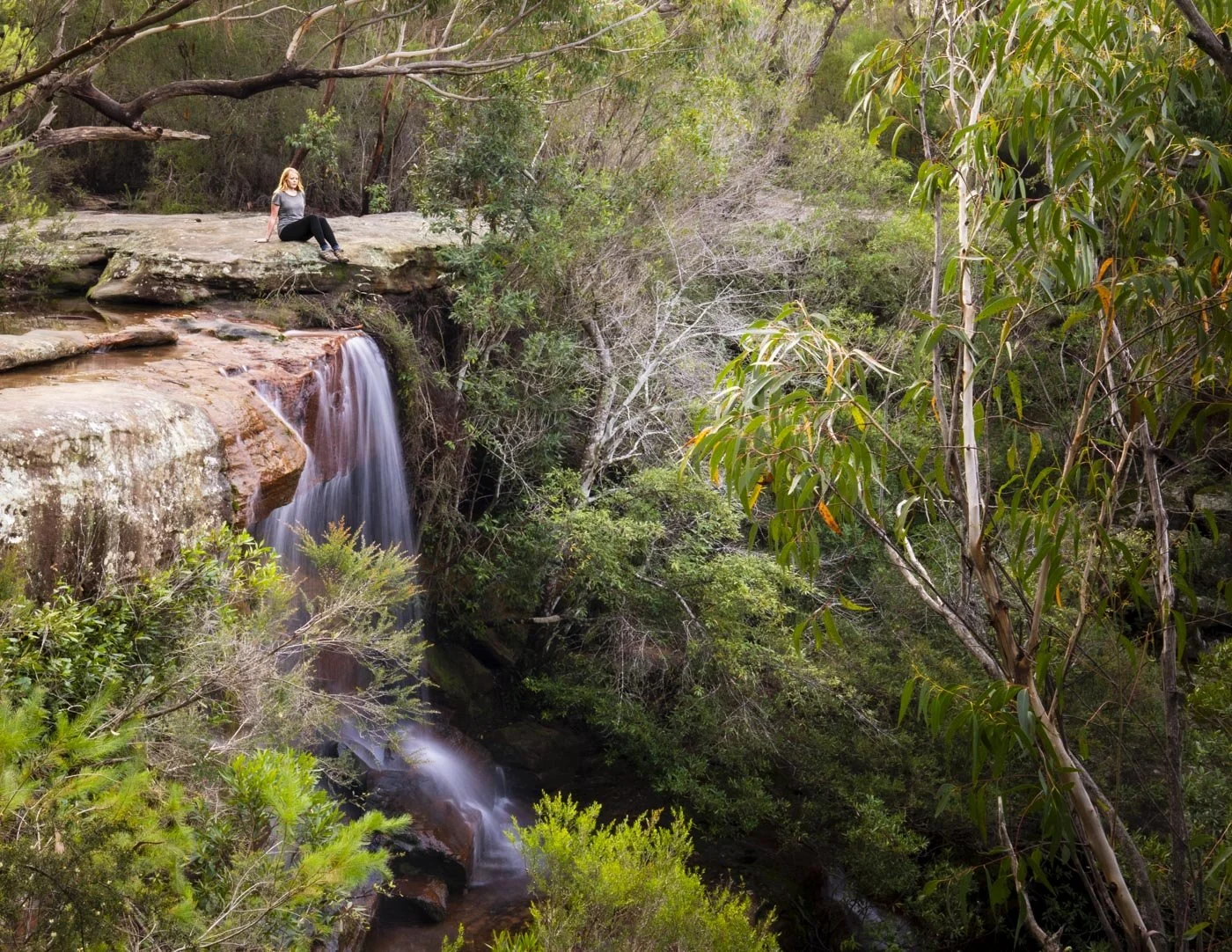
Nestled in a gorgeous patch of gum trees with a small waterfall and craggy rocks, Kingfisher Pool is a little bush oasis.
It’s big enough to swim lengths and the lack of rocks inside the water makes a dip here so relaxing.
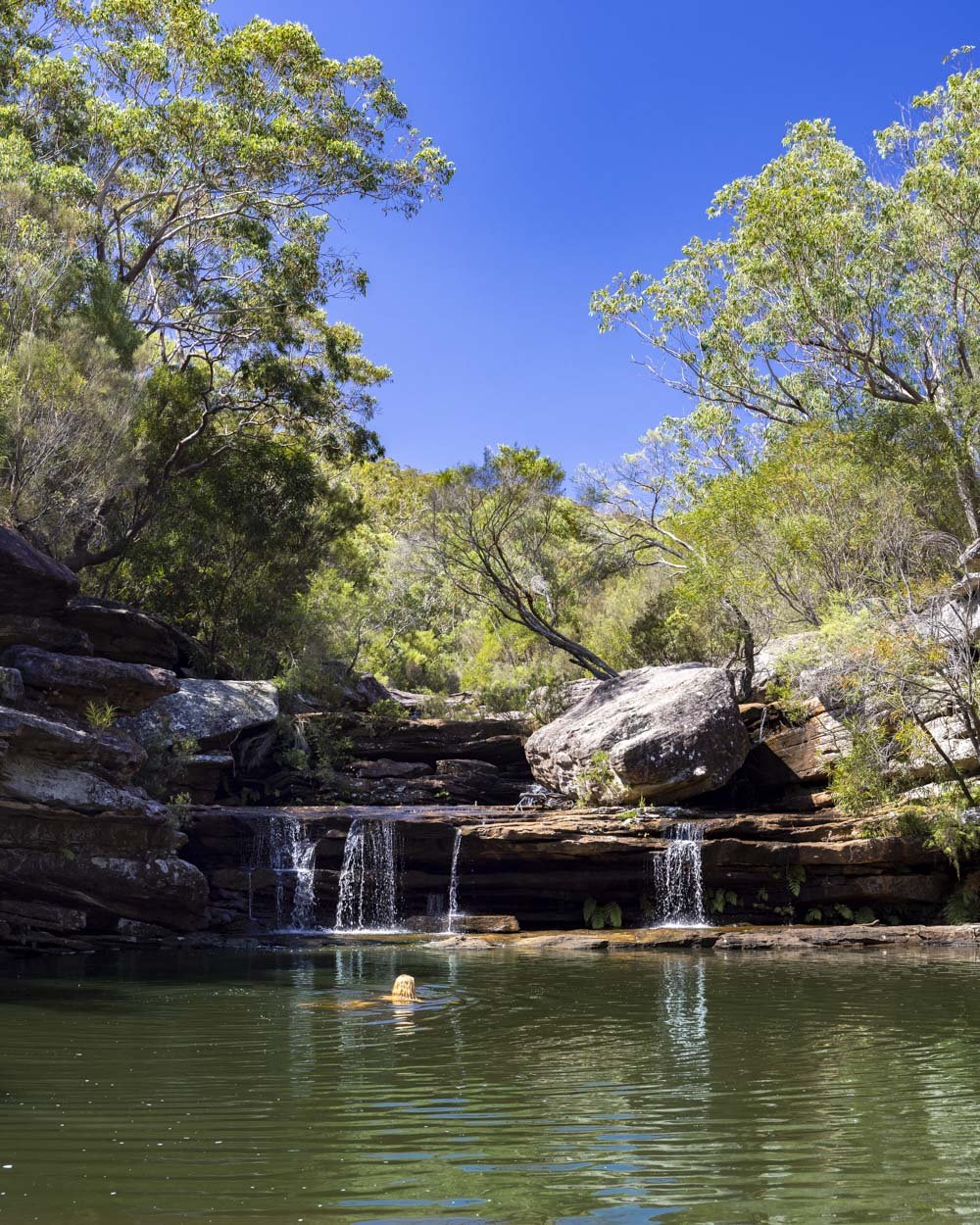
The walk to reach the pool is short and very pretty. If you find yourself taken with the area you can even book into the nearby campground and fall asleep to the sound of the rushing cascades.
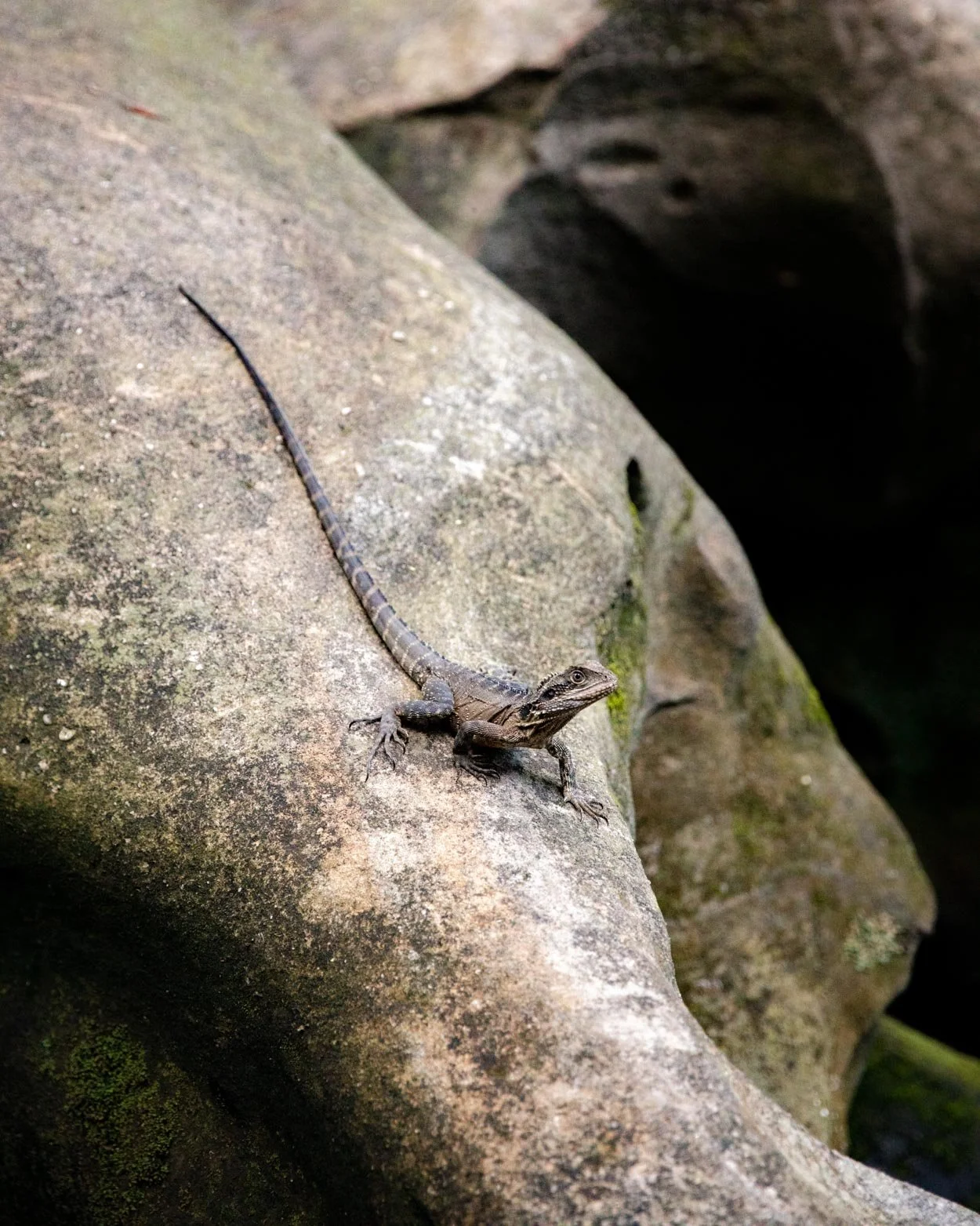
Just watch out for the cheeky water dragons which are prolific here! You can read more about the Kingfisher Pool walk in this guide.
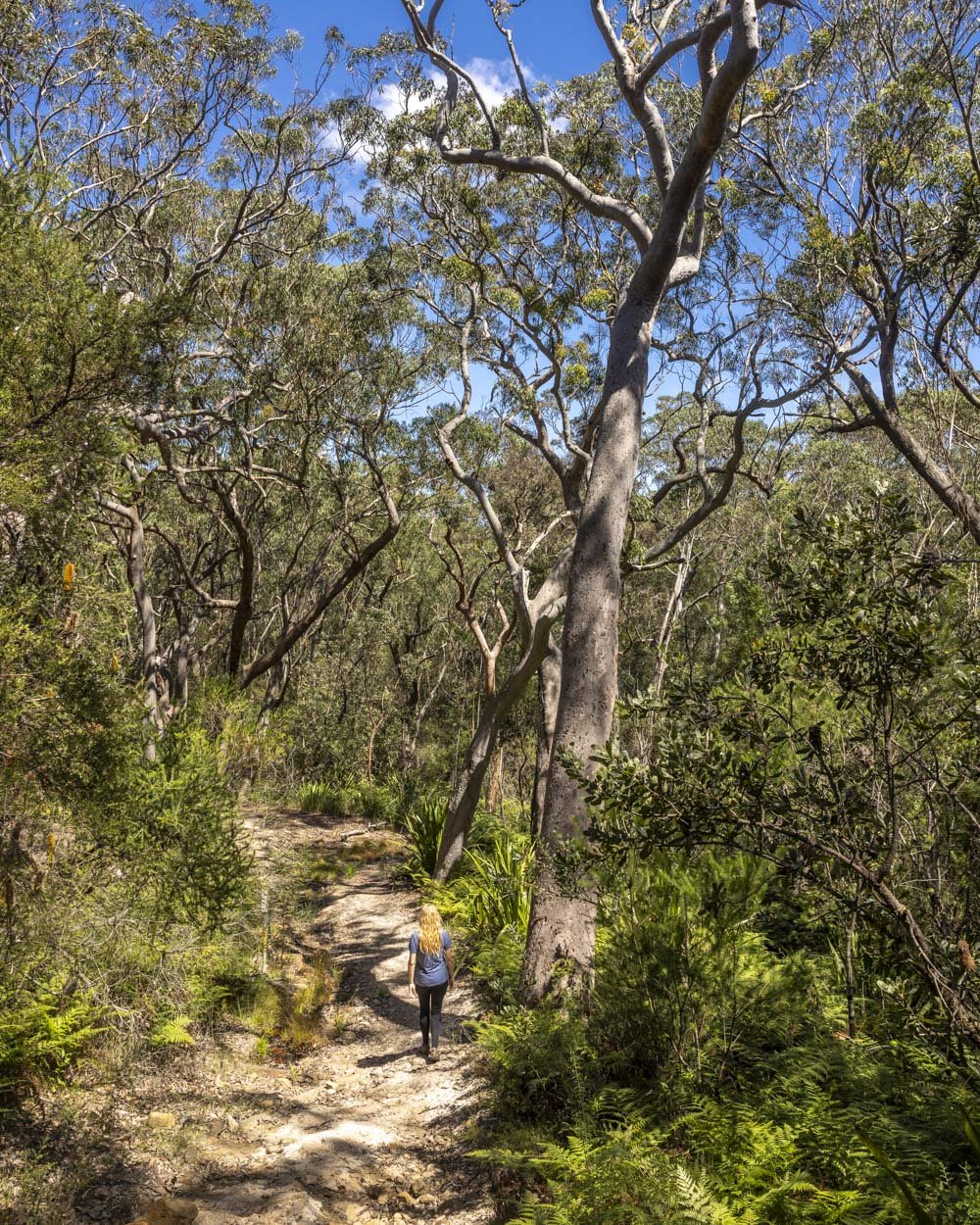
If you want a longer hike you can continue along the Bullawarring Track. The walk from Waterfall train station adds on 700m each way and is included in the stats above.
6: The Couranga Track, Royal National Park
Distance: 10.1km return
Elevation gain: 295m
Difficulty: Moderate
How to get there by public transport: Train to Waterfall Train Station
The Couranga Track is one of the lesser known trails in Royal National Park and for that reason it will probably be one of the quietest walks you’ve tried in the park.
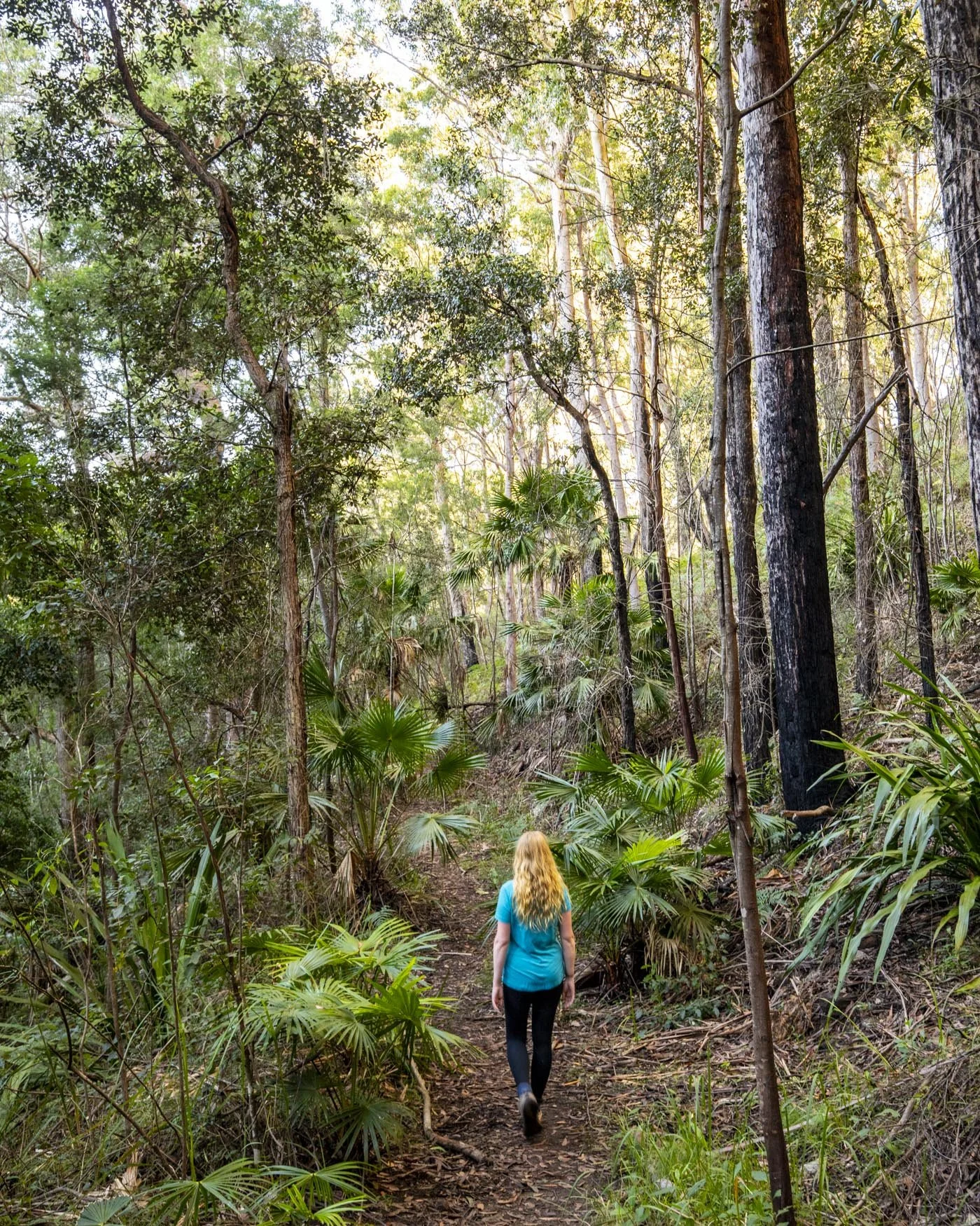
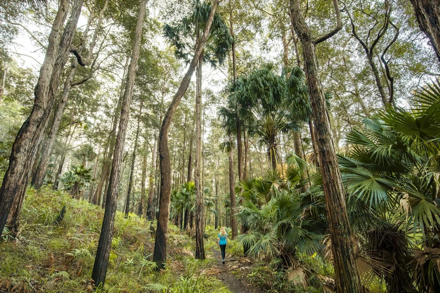
Beginning at Waterfall train station the path heads down through a dry eucalyptus forest to a truly stunning rainforest. The first half of the walk through the dry forest isn’t exceptional but the second half in the rainforest is.
You can also join up with the sensational Forest Path if you want a longer walk and even more of a treat!
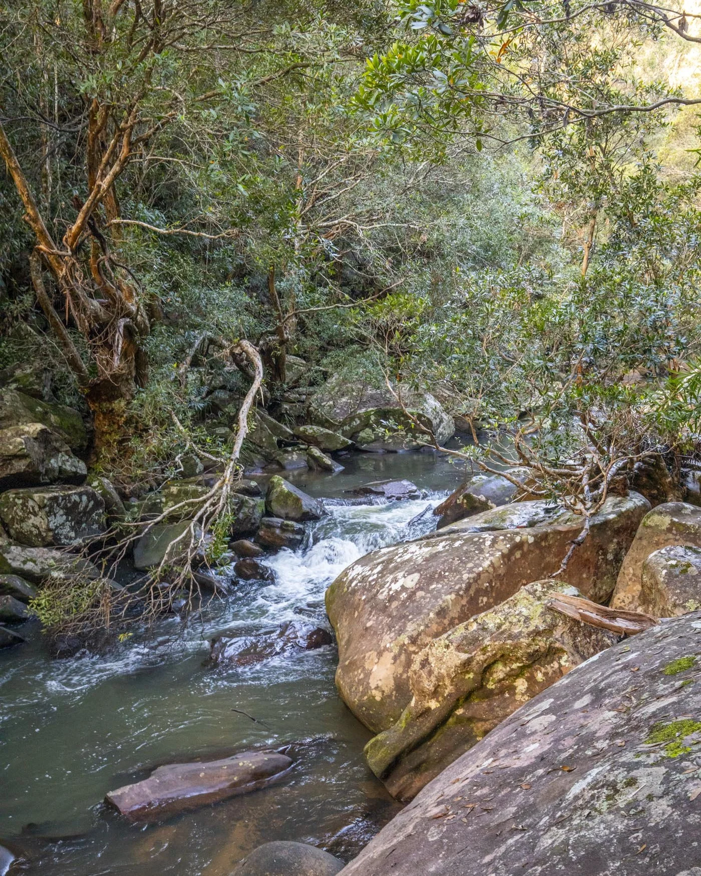
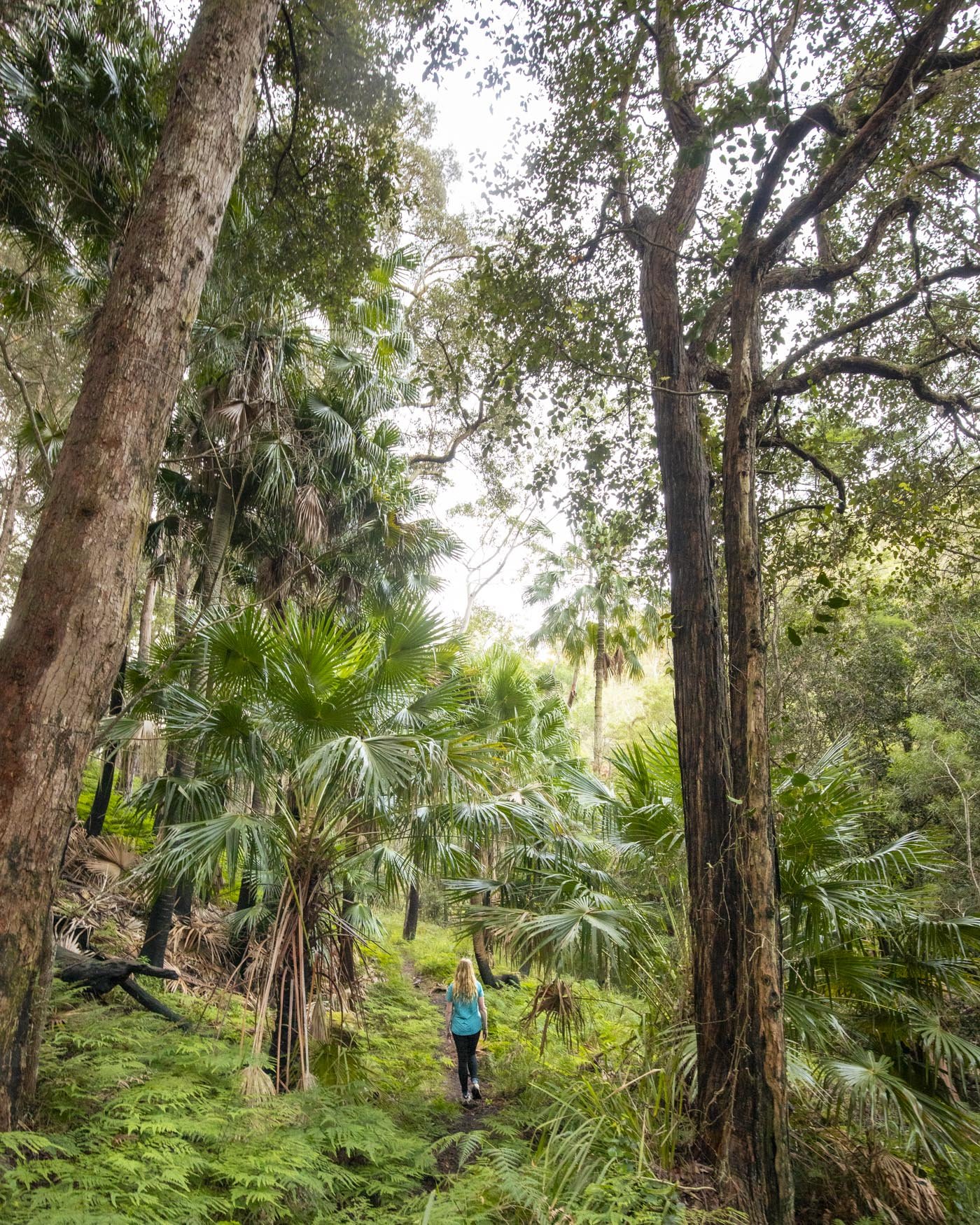
The Couranga Track isn’t a difficult walk, but there is a section of rough rubbly terrain and a few hills to climb. You can read more about the trail here.
7: Taronga Zoo to Balmoral Walk
Distance: 6km one way (7.2km including side trails)
Elevation gain: 176m
Difficulty: Easy, but not flat
How to get there by public transport: Ferry to Taronga Zoo Wharf
This is one of the most stunning harbour walks in Sydney, with well maintained paths throughout.
Along the way you’ll get epic harbour views, lots of lush foliage, secret bays and bigger beaches, as well as a great snorkel opportunity (you might even see seahorses!) and of course some fabulous places to eat at the end.
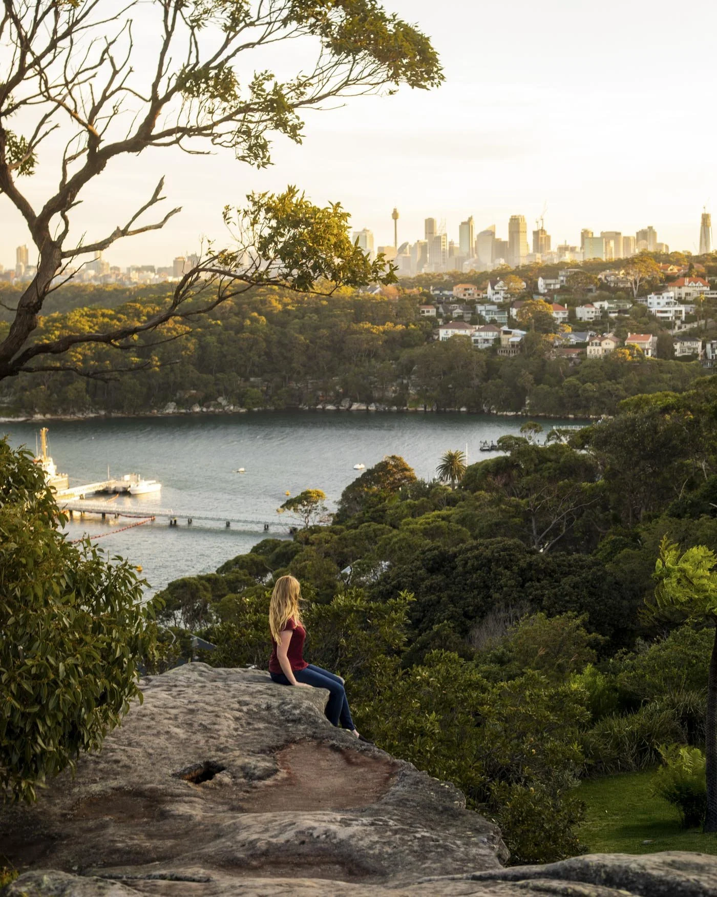
If you like your history you can also stop off at Georges Head where you will find old military fortifications from the WWII.
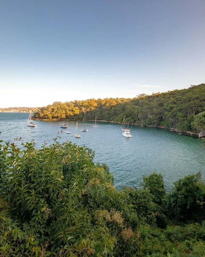
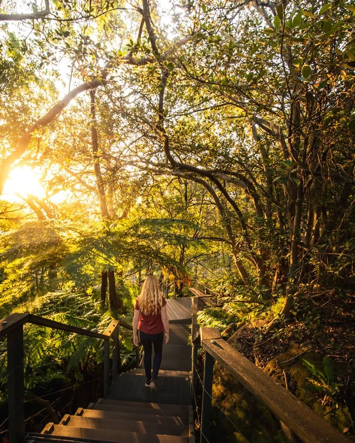
The walk begins at Taronga Zoo ferry wharf which is on a direct route from Circular Quay ferry wharf. It ends at Balmoral Beach where you can take a direct bus back to the city. You can read more about the walk here.
8: Bundeena to Big Marley Beach via Wedding Cake Rock, Royal National Park
Distance: 10.7km return (includes the 3km return walk from the ferry wharf)
Elevation gain: 92m
Difficulty: Easy
How to get there by public transport: Ferry to Bundeena from Cronulla
Ok so I said I wouldn’t include any walks where you had to change modes of transport, but allow me just this one because it really is worth it.
After taking the train from Sydney central station to Cronulla you hop on the charming little ferry boat to Bundeena wharf which is a fun activity in and of itself.
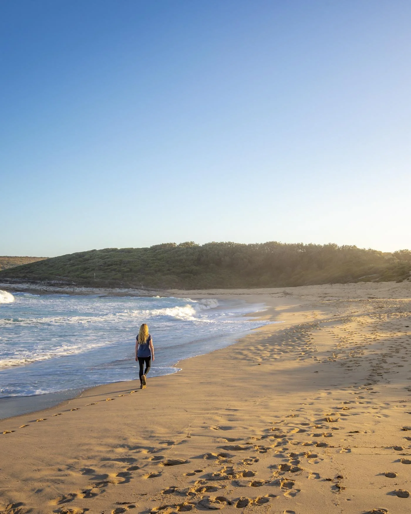
After walking to the trailhead you have a short distance on fire trail before you get to the proper coastal path and from here it’s a truly magnificent walk.
You’ll have incredible ocean views the whole way which is especially exciting during whale watching season. You’ll get to see Wedding Cake Rock and Big Marley Beach, one of the best in the entire national park.
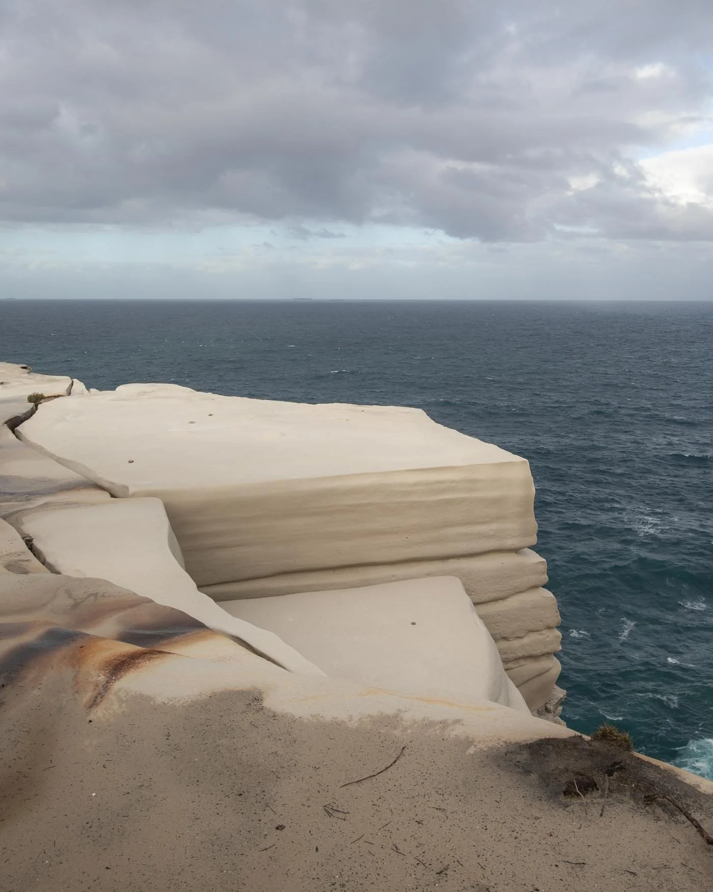
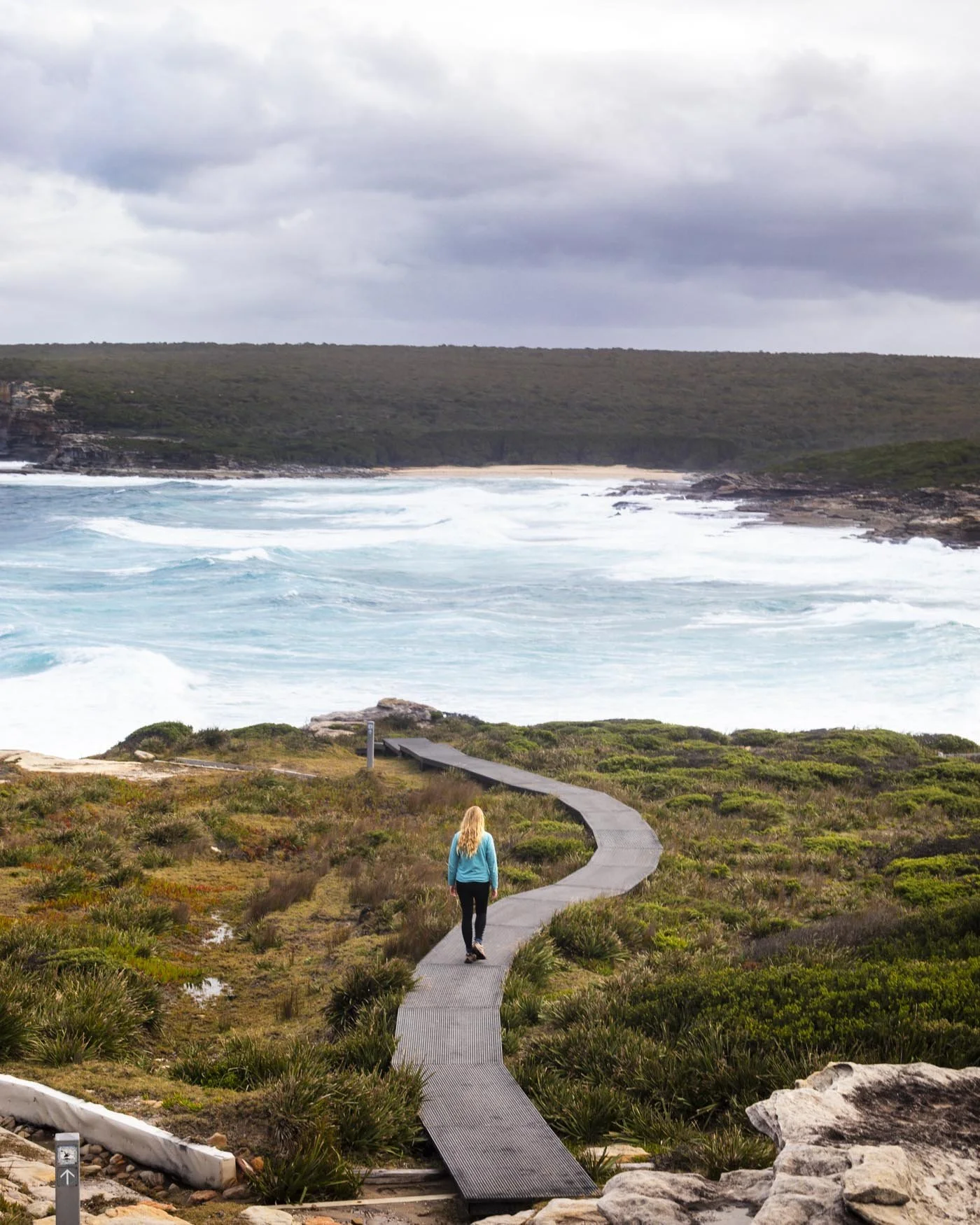
The walk is generally easy and there isn’t too much in the way of hills to contend with once you reach the trailhead. You can read more about the walk here.
9: Berowra Track, Ku-ring-gai National Park
Distance: 10km one way
Elevation: 324m
Difficulty: Moderate
How to get there by public transport: Train to Berowra Station
This station to station walk is a fabulous bush walk which feels like a real escape from the city. The road noise soon melts away and you’re left only with the sounds of running water and birdlife.
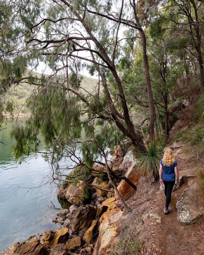
The track takes you through dense bushland with pretty overhangs and down to the creek with its gorgeous emerald water. There are even some jungly sections with dense ferns and giant boulders.
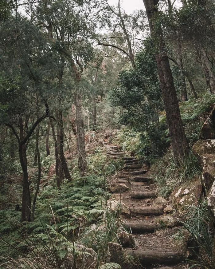
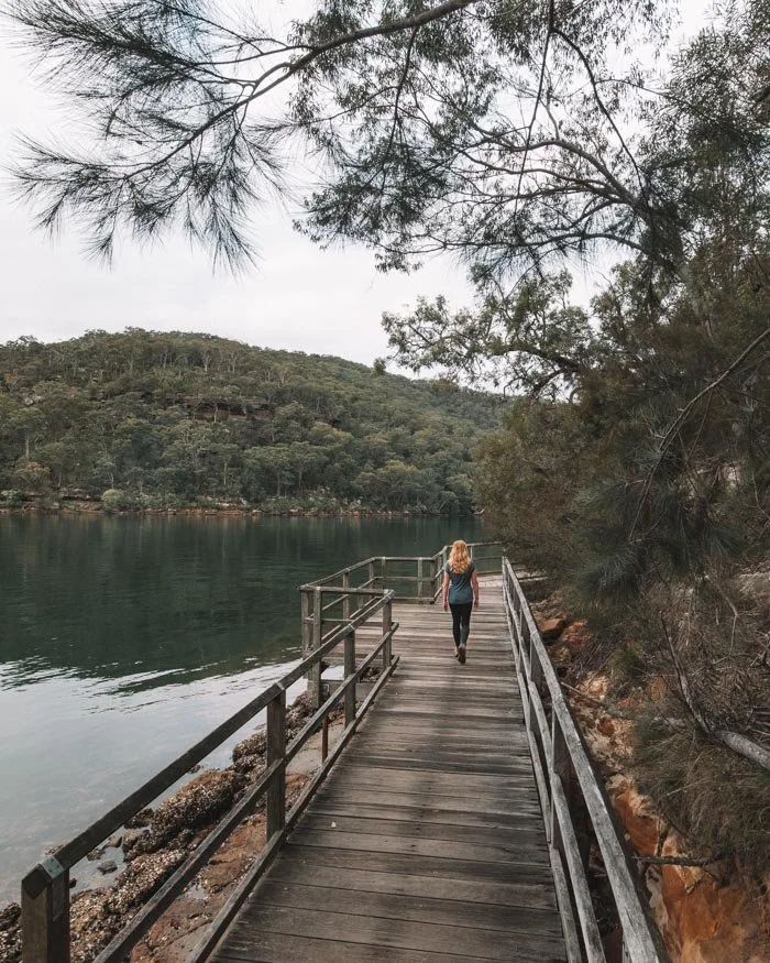
It’s a quiet walk and long enough to really feel immersed in the bush. It’s steep at times and undulates much of the way so you also feel like you’re getting a decent workout.
It can be rocky underfoot but the path is generally in decent shape. You can see our full trail guide here.
10: Glenbrook Gorge, Blue Mountains
Distance: 6.2km return (including the 3km return to Glenbrook train station)
Elevation gained: 120m
Difficulty: Easy, but some slightly rough patches
How to get there by public transport: Train to Glenbrook Station
It’s hard to believe that a place that feels this wild lies so close to Sydney, and it’s easy to access. Walking inbetween the towering gorge walls and then stopping for a dip at one of the sandy beaches has to be one of the most underrated experiences in the Blue Mountains!
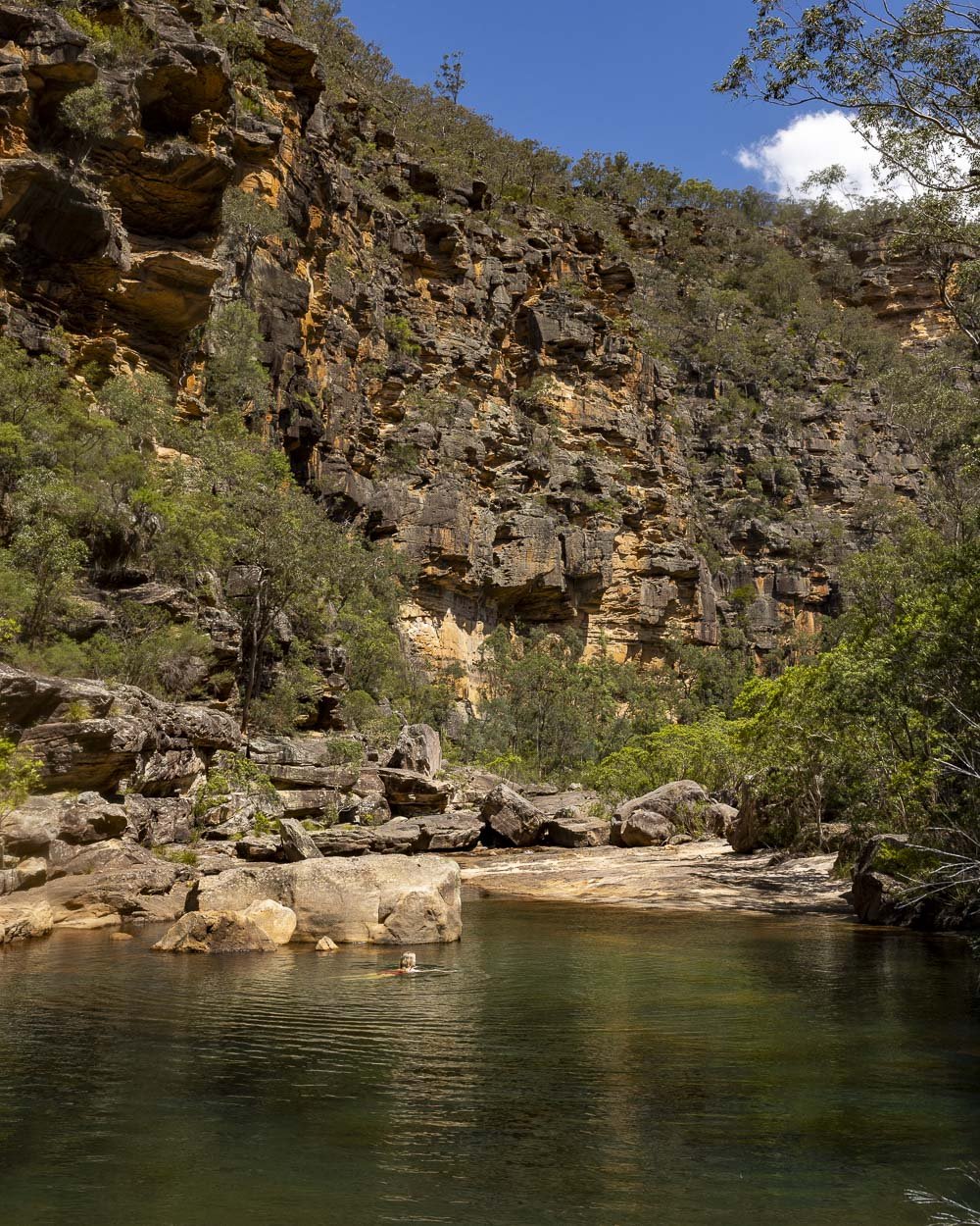
The walk to reach the gorge begins as a formed track with a steep staircase leading downhill, but once you reach the creek it’s a make your own adventure kind of place.
There are many secluded spots to stop for a swim in the clear water and it’s hard to resist them on a warm summer’s day.
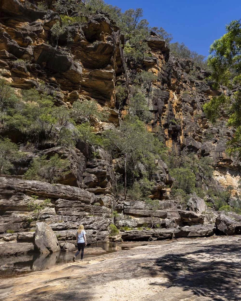
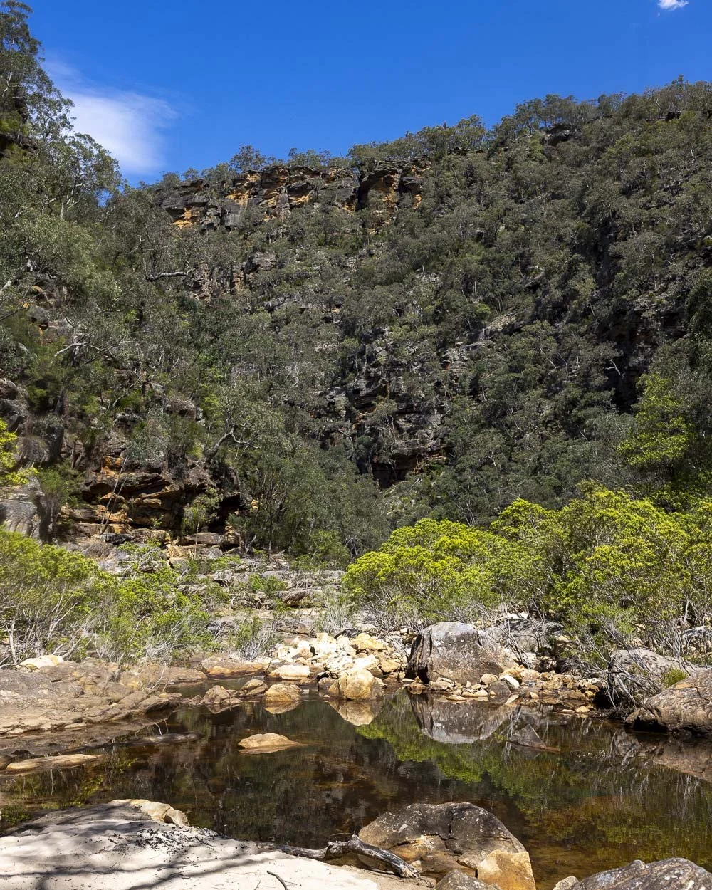
When coming from the train station (which is on a direct line from Sydney Central) it does add on more of a hill to climb on the way back, but it really is worth it.
You can see where our favourite swim spots along the gorge are in this guide.
11: Pindar Cave, Central Coast
Distance: 11.8km return
Elevation gain: 385m
Difficulty: Moderate
How to get there by public transport: Train to Wondabyne Station
This walk has a novel beginning as the trail starts at the only train station in Australia which has no road access - you literally have to take public transport for this one!
Pindar Cave is one of the largest caves on the Central Coast; we’ve not yet seen or heard of one that’s bigger!
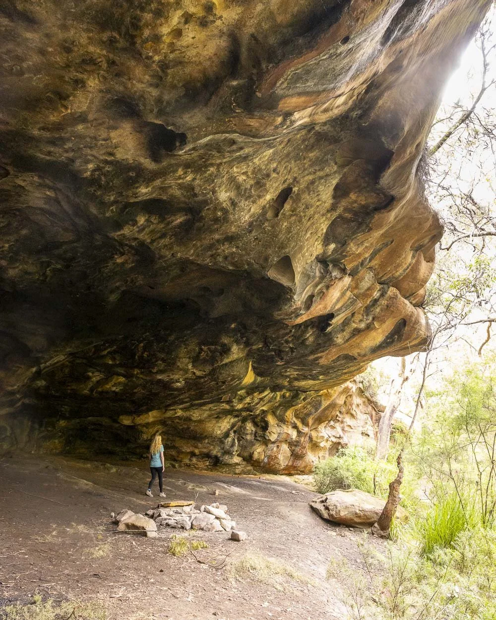
To reach it you’ll need to head deep into the bush on a path marked only by small cairns, so it’s definitely one of the more adventurous options on this list - to help with navigation you might want to screenshot our guide to take with you.
The cave is over 50m long and makes for an interesting spot to wild camp if you want to make a weekend of it. If there has been plenty of recent heavy rain you can walk for an extra 500m (each way) to check out Pindar Falls.
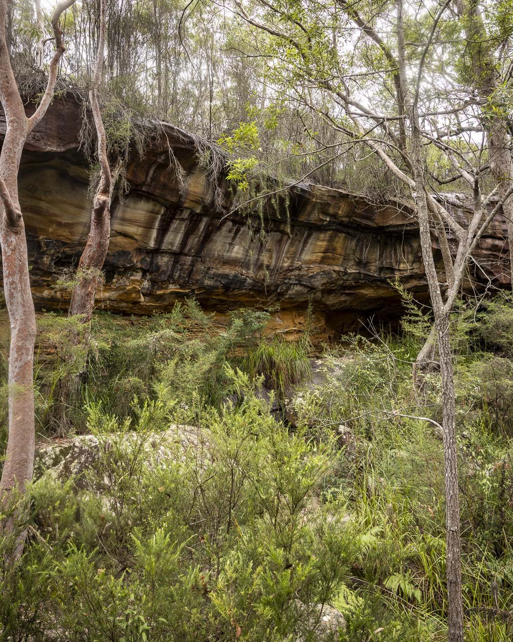
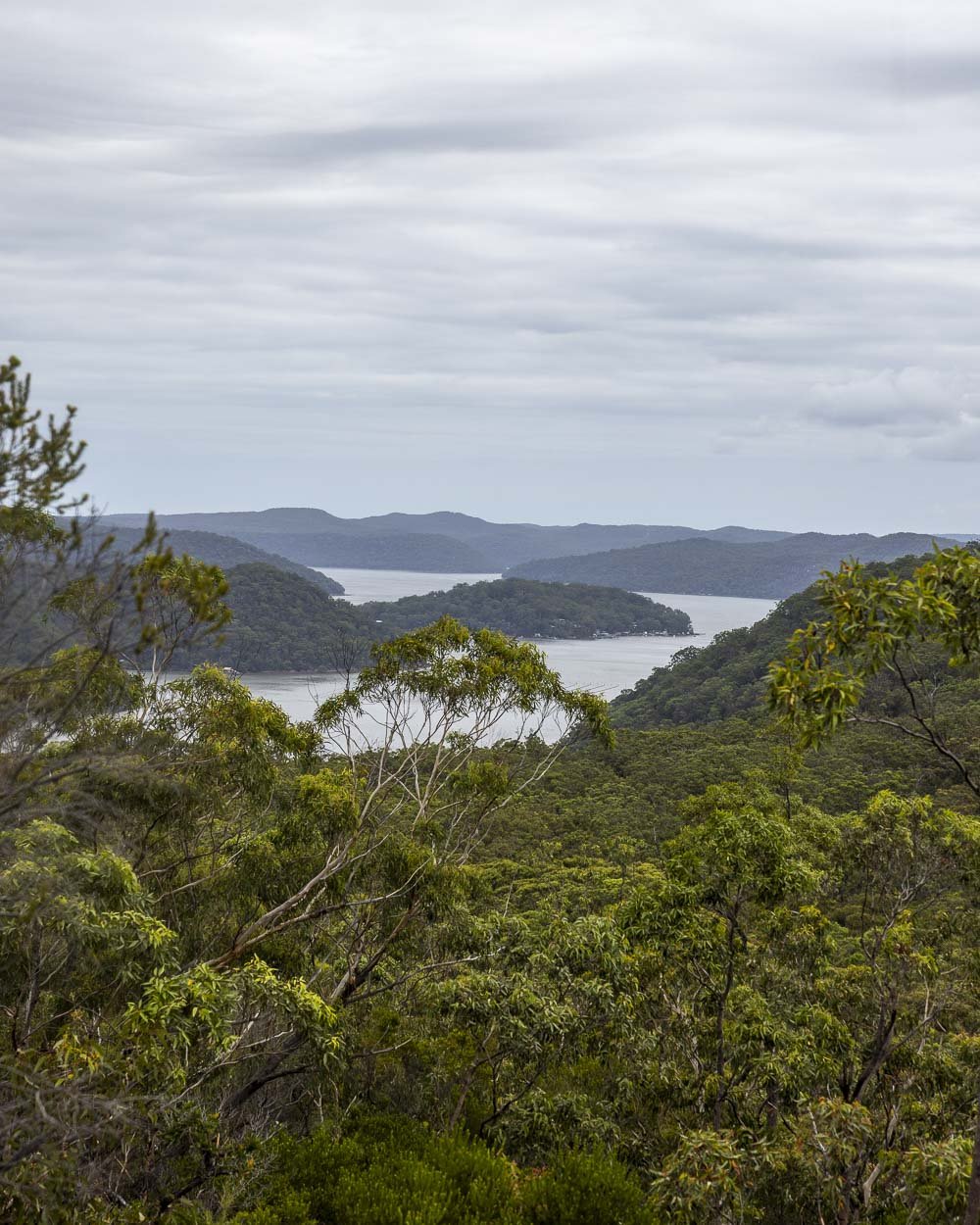
All the details on the walk and the train journey can be found here (note that trains do not stop at Wondabyne train station where the walk begins unless you ask the conductor ahead of time).
12: The Uloola Track, Royal National Park
Distance: 11.2km one way
Elevation gain: 224m
Difficulty: Moderate
How to get there by public transport: Train to Waterfall Train Station
This station to station walk has it all; waterfalls, swimming holes and lots of stunning bushland.
In a park famous for its incredible coastline, the Uloola Track between Heathcote and Waterfall offers the chance to see an inland part of Royal National Park that fewer people explore.
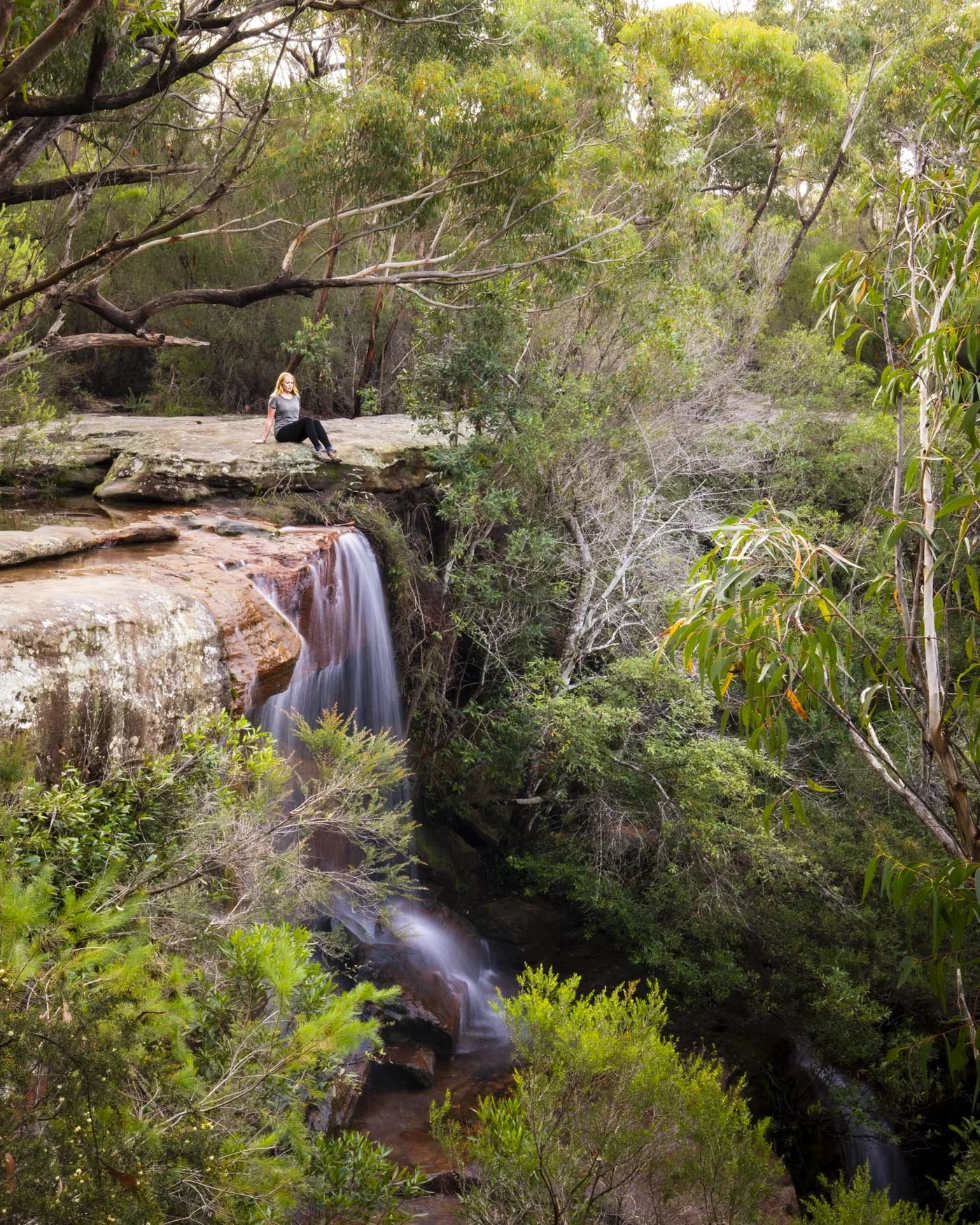
Along the way you’ll stop at the pretty Uloola Falls - which is one of our favourite picnic spots in the park - and you’ll get the chance for a mid-walk dip at one of Sydney’s most captivating swimming holes (Karloo Pool).
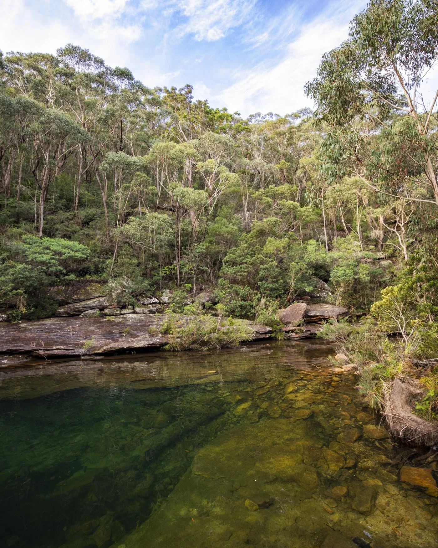
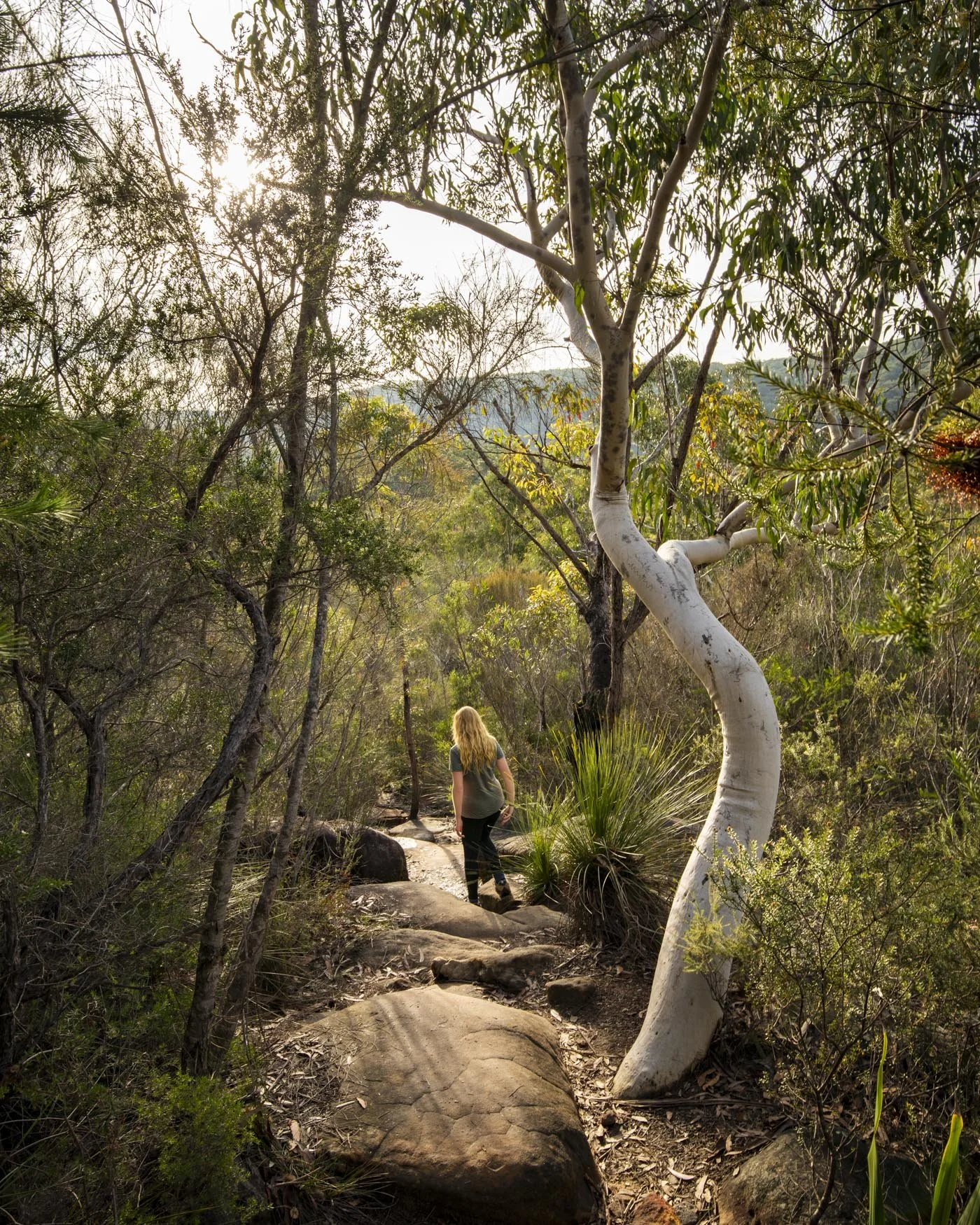
The first half of the walk is on fire trail but the second half is a proper bush track and the spots you reach along the way more than make up for the less exciting start to the trail.
13: Spit to Manly Walk
Distance: 9.6km one way
Elevation gain: 283m
Difficulty: Moderate
How to get there by public transport: Ferry to Manly Wharf or Bus to Spit Bridge
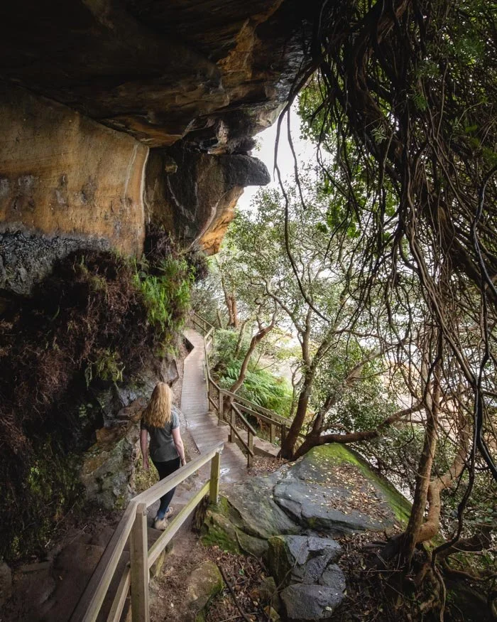
The Spit to Manly Walk is the best harbour walk in Sydney. It’s pretty amazing how close to the city it is, yet within just a few minutes of setting foot on the trail you feel like you’re completely immersed in nature. We’ve walked it many times and always find something new to see each time.
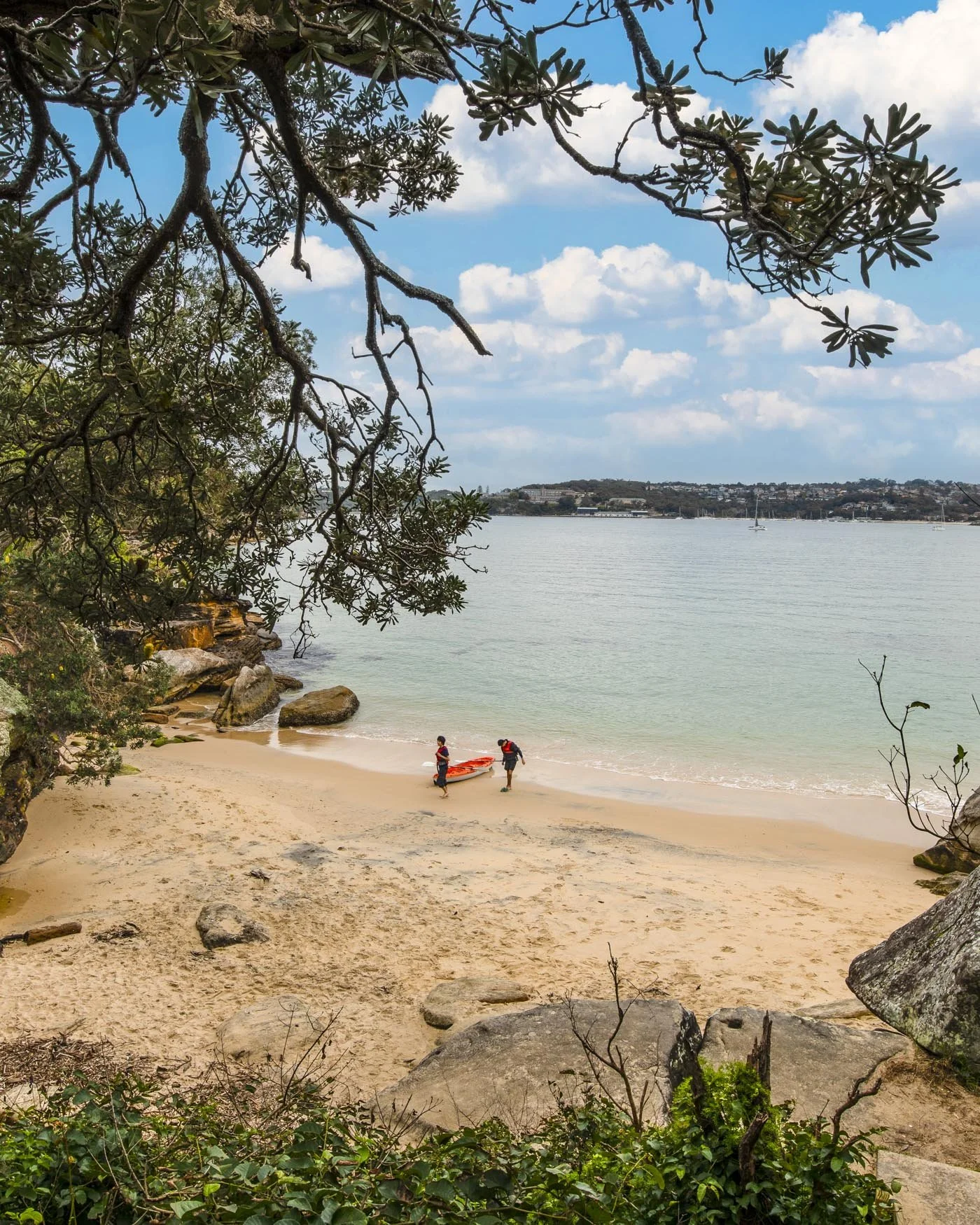
With beautiful bushland, fab harbour views and some spectacular secret beaches, this trail is really diverse with something to interest everyone.
You’ll be serenaded along the way with the frequent sound of the Whipbird or the rolling waves which add a relaxing soundtrack to your walk.
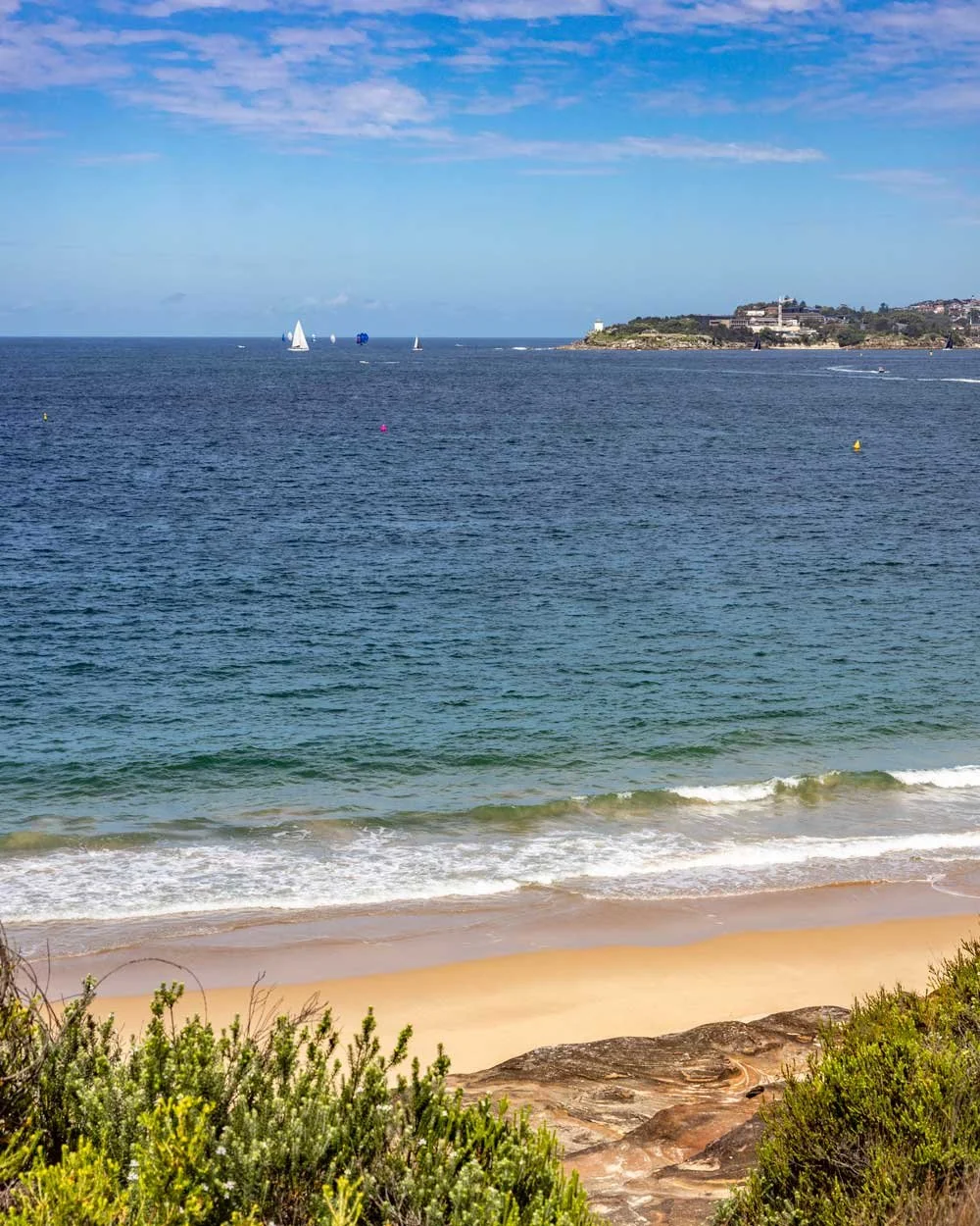
There are several great side trails which are not signposted and make the walk even more worthwhile, you can see the details here.
14: Thornleigh to Hornsby Track
Distance: 10.7km one way
Elevation: 389m
Difficulty: Moderate
How to get there by public transport: Train to Thornleigh Train Station
This is another of Sydney’s best station to station walks along one of our favourite parts of the Great North Walk. Tucked away in the beautiful bushland around Berowra Creek, the track takes you through gorgeous forest which comes alive with wild flowers in spring.
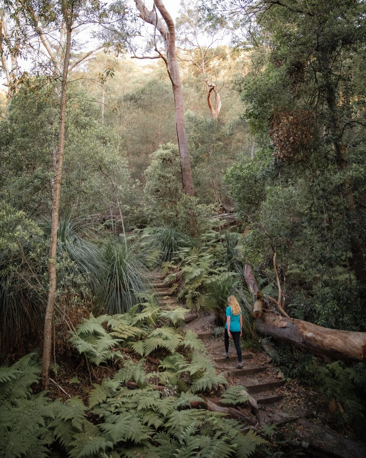
It’s a peaceful walk which is teeming with birdlife and you’ll rarely find a moment when you’re not being serenaded by one bird or another, making it incredibly atmospheric.
There are no particular sights to see, it’s more about enjoying time spent in the classic Aussie bushland.
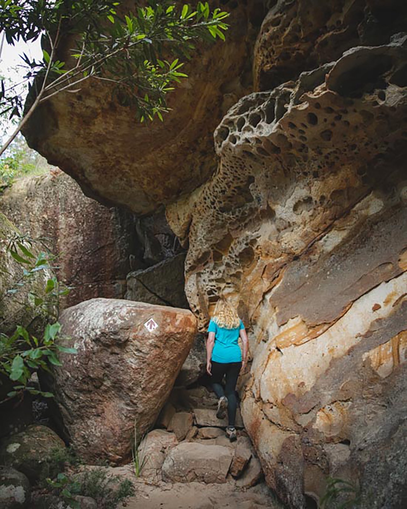
The track undulates much of the way but the path tends to be in good shape. You can read our detailed trail guide here.
15: Red Hands Cave and Jellybean Pool, Blue Mountains
Distance: 10.7km return (including the 3km return from Glenbrook train station)
Elevation gain: 265m
Difficulty: Moderate
How to get there by public transport: Train to Glenbrook Station
Just a one hour direct train journey from Sydney Central, in the Lower Blue Mountains, lies a cave with the best preserved Aboriginal rock art we’ve seen close to the city.
The ceremonial cave was used for the initiation of young warriors and the inside is covered in red, white and orange hand prints from both adults and children. The cave sits behind a grill but you still get a great view of the paintings.
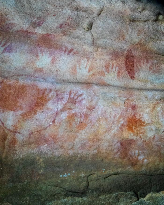
The cave alone would be well worth the visit, but you will also get to walk through a beautiful (and incredibly quiet) forest and have the chance to take a dip in one of the best wild swimming spots in the Blue Mountains, Jellybean Pool.
The walk is on a maintained path with some ups and downs but nothing too challenging. It’s in better condition nowadays than we describe in this post, but it will give you the gist.
16: Coogee to Maroubra Walk
Distance: 4.9km one way
Elevation gain: 114m
Difficulty: Easy
How to get there by public transport: Bus to Coogee or Maroubra
The Coogee to Maroubra Walk is a beautiful coastal track that hugs the ocean for much of the way. The rugged cliff tops, sea views and numerous ocean baths make it a really picturesque walk.
It’s a great track in its own right, or it can be added on to the much more famous Bondi to Coogee walk or lesser known Malabar Headland walk for a longer hike.
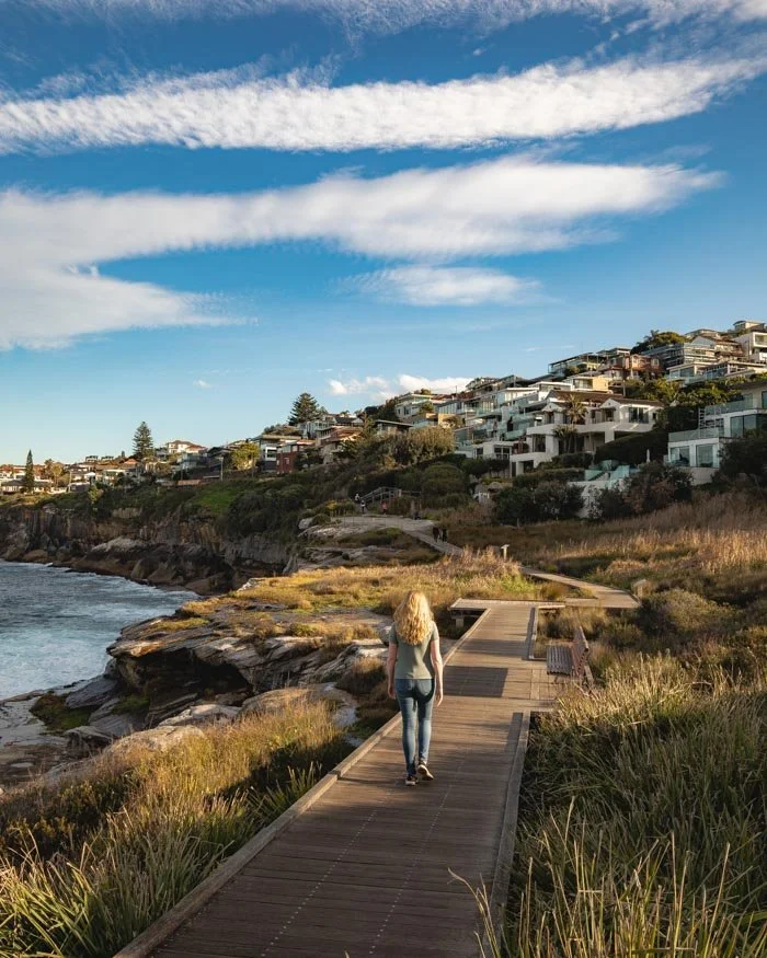
If possible, aim to do this walk a couple of hours either side of low tide so you will be able to spend the maximum amount of time beside the water and take a dip in one of the natural rockpools.
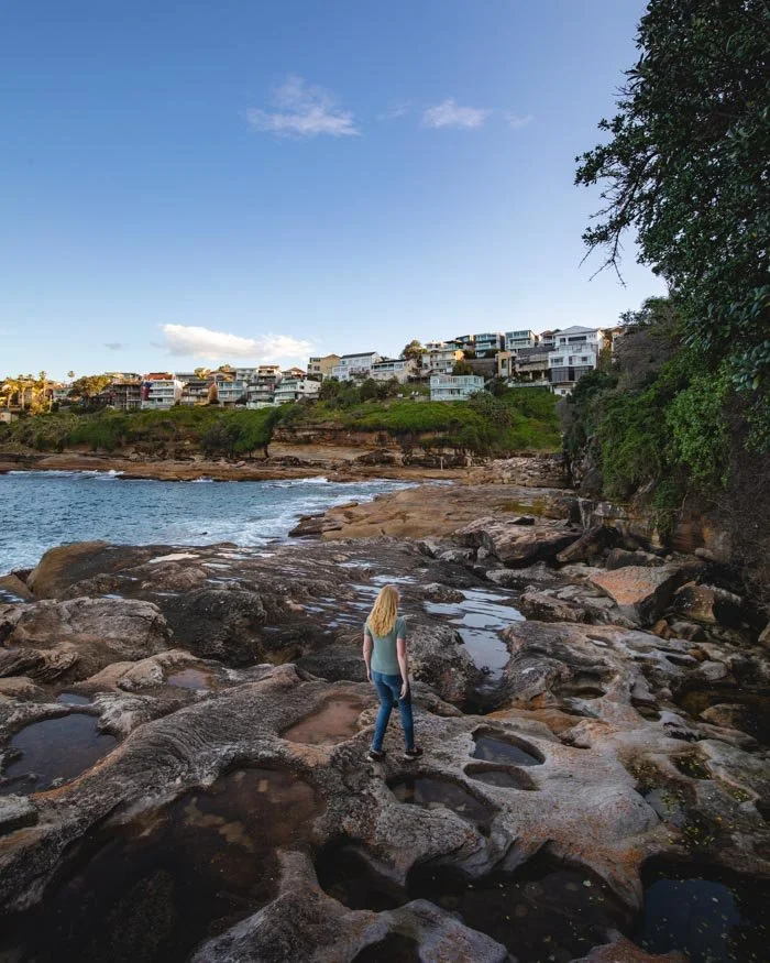
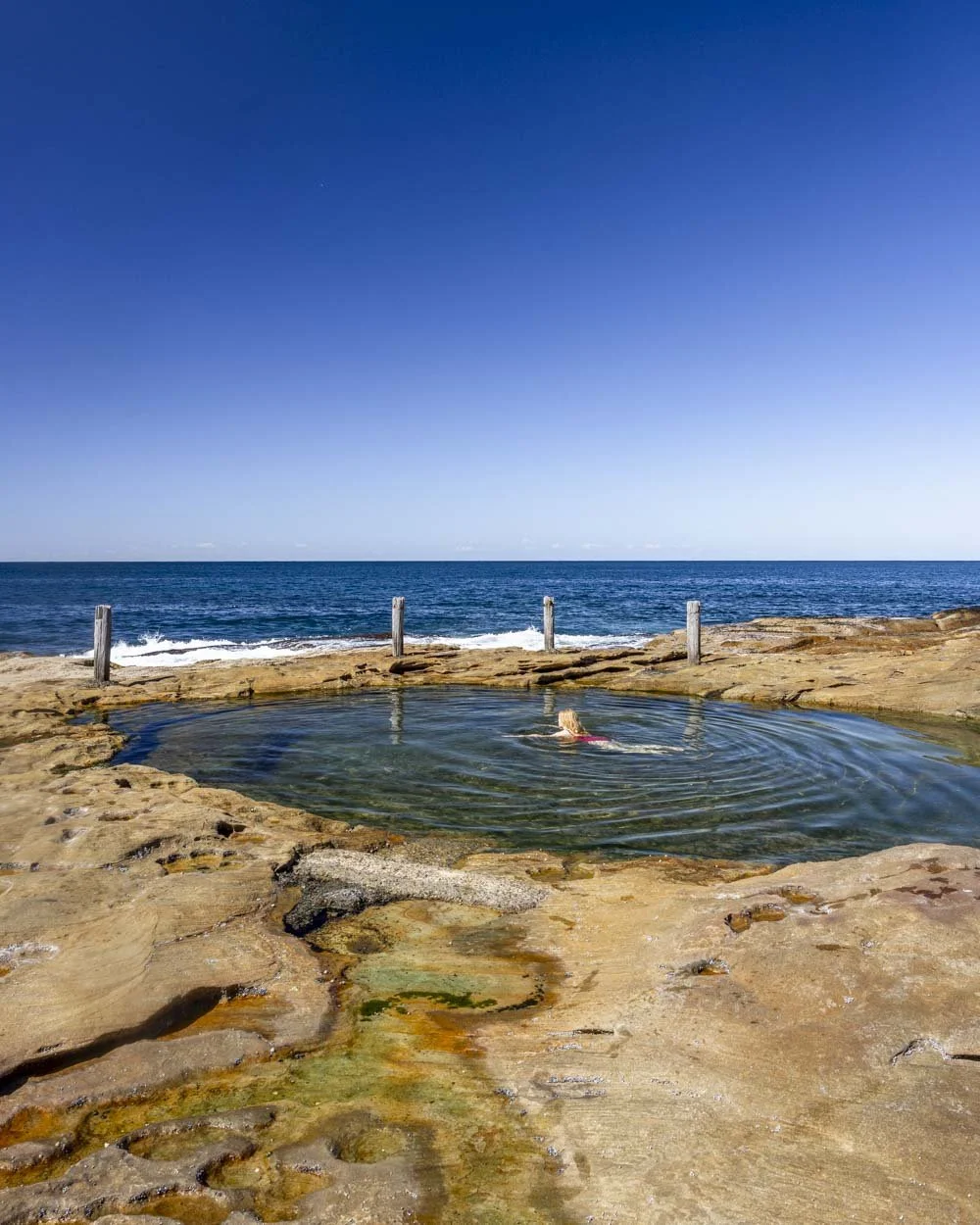
The walk is generally quite easy with good paths, though there is a bit of rock hopping if you do the low tide route. Both Coogee and Maroubra are serviced by direct buses from the city. Here’s our Coogee to Maroubra Walk guide.
17: Mt Ku-ring-gai to Berowra via Berowra Valley National Park
Distance: 10.8km one way
Elevation gain: 373m
Difficulty: Moderate - hard
How to get there by public transport: Train to Mt Ku-ring-gai Station or Berowra Station
This station to station walk (and yes it’s different to the one mentioned above though the track names are confusingly similar!) is a beautiful bush track with lots of variety, from spectacular vegetation with huge tree ferns and hanging vines, to mangroves and salt marsh.
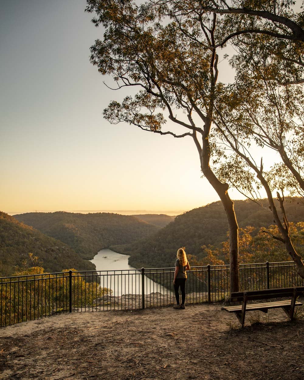
There are plenty of great creek views, picturesque overhangs and Berowra Valley’s best sunset lookout. If that hasn’t sold you in yet, there’s even a good chance of spotting a lyrebird.
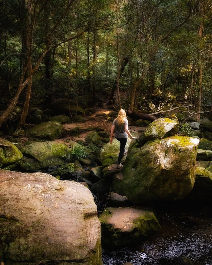
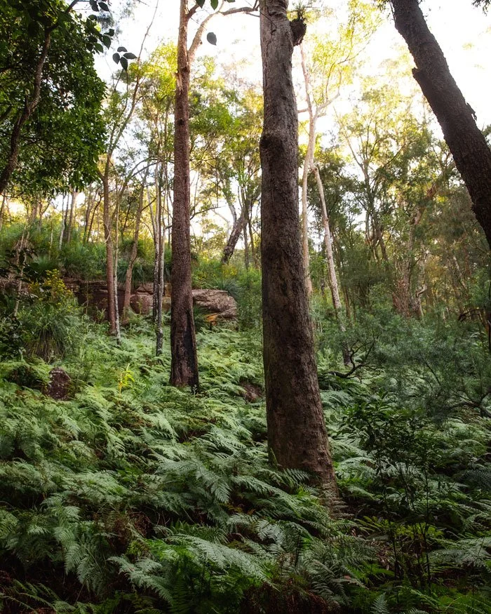
The terrain is fairly rough for a good portion of the track, but there’s no scrambling involved and the only longish climb comes towards the end of the track, when you’re close to finishing and able to get a nice cold drink!
You can read our detailed trail guide here.
18: Engadine Falls Track, Royal National Park
Distance: 3.8km return
Elevation gain: 115m
Difficulty: Moderate
How to get there by public transport: Train to Engadine Station
This is yet another walk which begins directly from the train station (Engadine) and takes you straight into the bush in search for one of the least visited waterfalls in Royal National Park.
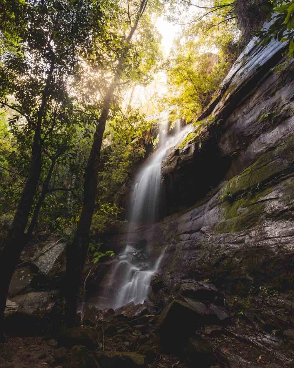
As long as you visit after plenty of rain you’ll find a gorgeous waterfall in a secluded setting, at any other time Engadine Falls is just a trickle and not really worth the effort.
The walk is mainly on fire trail but it’s still nice and bushy.
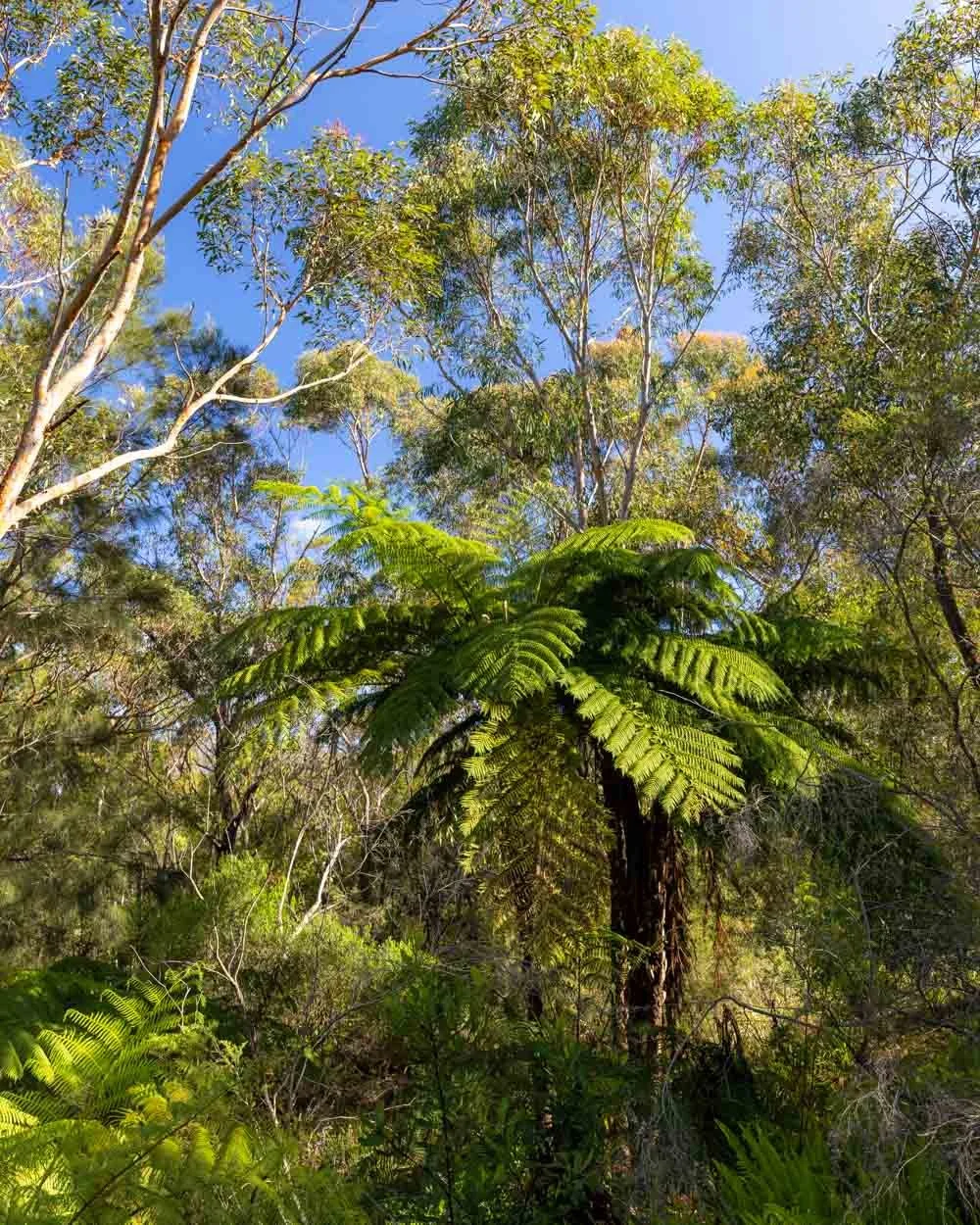
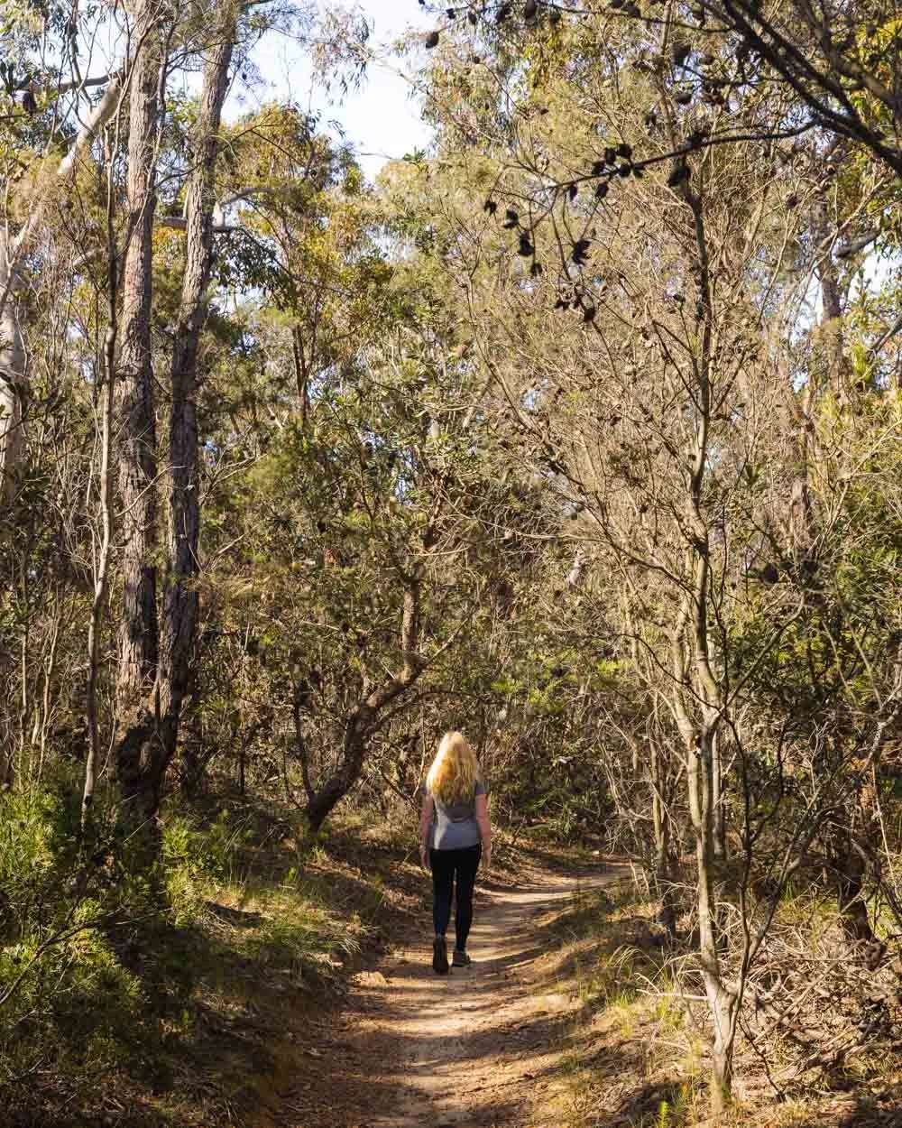
The waterfall is not signposted and does require a scramble to access, we cover all the details on that in this post.
19: Sassafras Gully Circuit, Blue Mountains
Distance: 12.8km circuit (includes the 2.6km needed to start and end at the train station)
Elevation gain: 333m
Difficulty: Moderate
How to get there by public transport: Train to Springwood Train Station
The Sassafras Gully walk is a fabulous circuit track in the Lower Blue Mountains. Unlike many of the trails in the mountains, it’s not about big views.
In fact, there aren’t any views at all, but what you do get is a beautiful atmospheric forest which is teeming with wildlife.
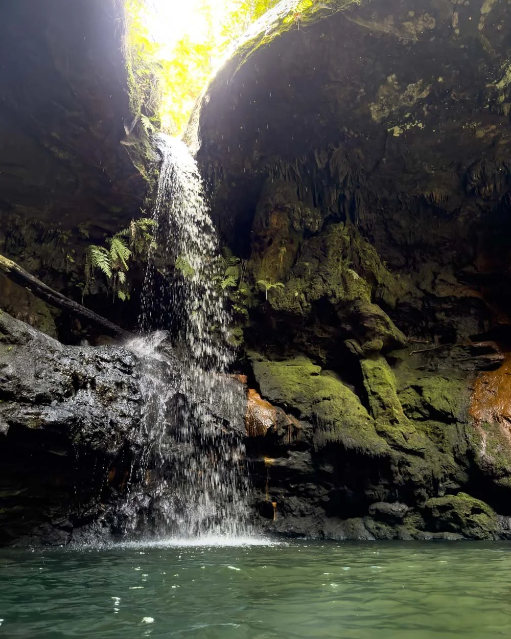
You’ll make your way through the gullies and over creeks, passing small waterfalls and picturesque overhangs.
It’s also completely shaded making it an ideal walk for a warm day, there’s even a lovely pool where you can take a dip.
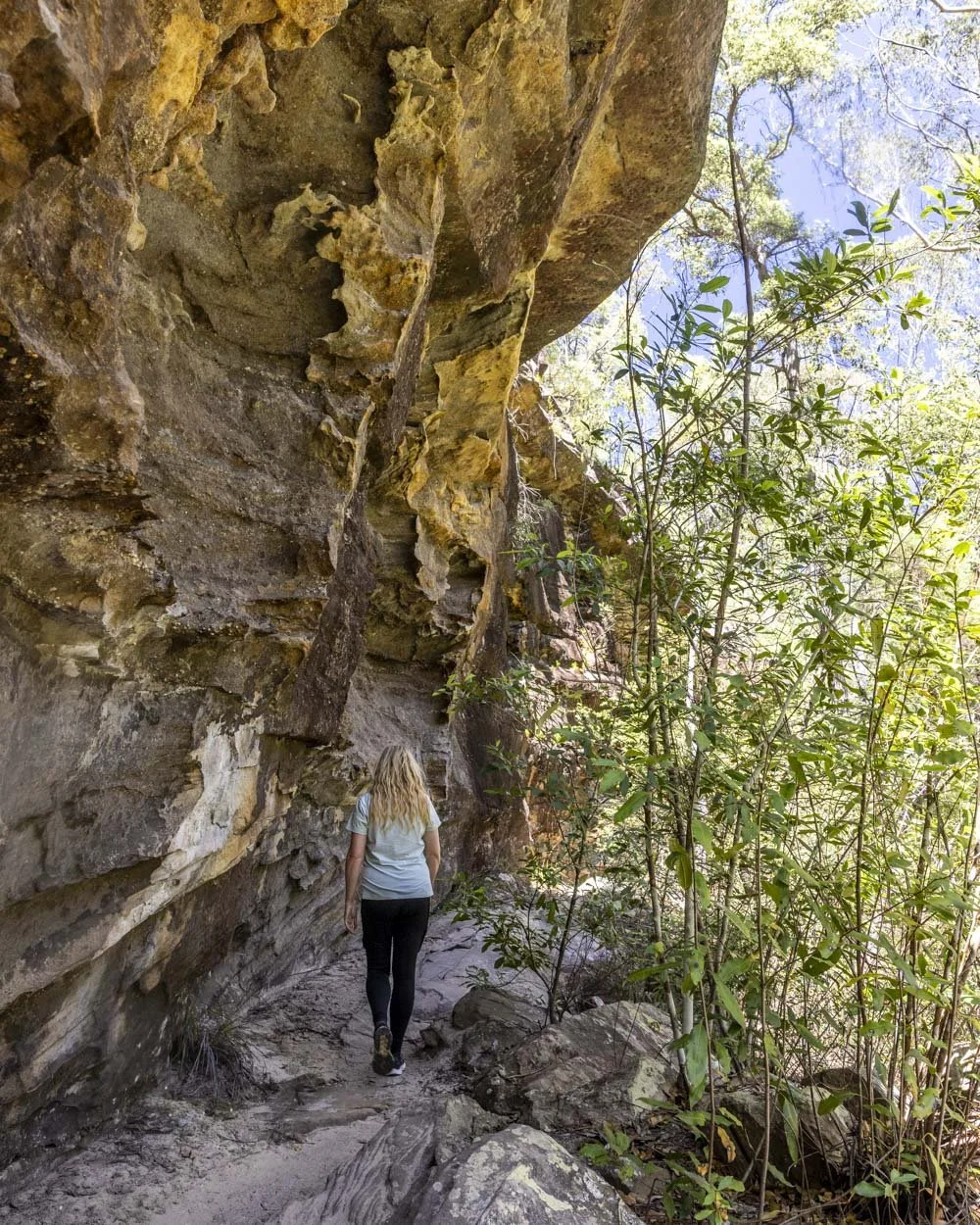
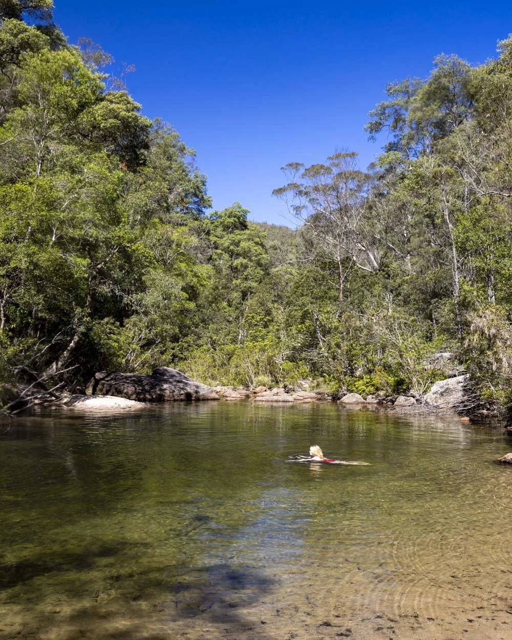
The majority of the walk is on council land so it’s less well maintained than you find in national parks and there’s often a bit of debris to navigate around. There are some hills to climb but also a fair amount of flat track.
You can read more in our Sassafras Gully guide.
20: The Jerusalem Bay Track, Ku-ring-gai National Park
Distance: 14.4km one way
Elevation: 482m
Difficulty: Moderate - hard
How to get there by public transport: Train to Cowan Train Station or Hawkesbury River Train Station
Our final station to station section of the Great North Walk is a bit of a Sydney bushwalkers institution. It’s one of the hillier walks in Ku-ring-gai National Park and offers enough of a challenge that you feel you’ve had a good work out, but not so hard that most people couldn’t take it on.
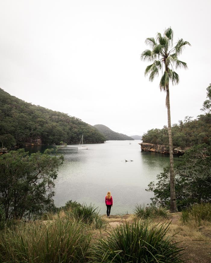
The highlight of the whole walk is the incredibly picturesque Jerusalem Bay, which makes a great spot for a mid walk swim.
However, only half of the walk is a real gem, with the other half being on fire trail, so you do have to bear that in mind if you’re only an occasional hiker. There’s also a fair amount of rough terrain though no overly difficult scrambles.
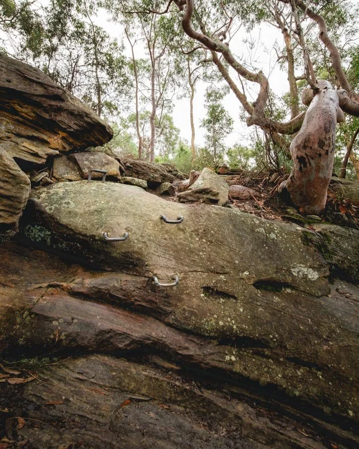
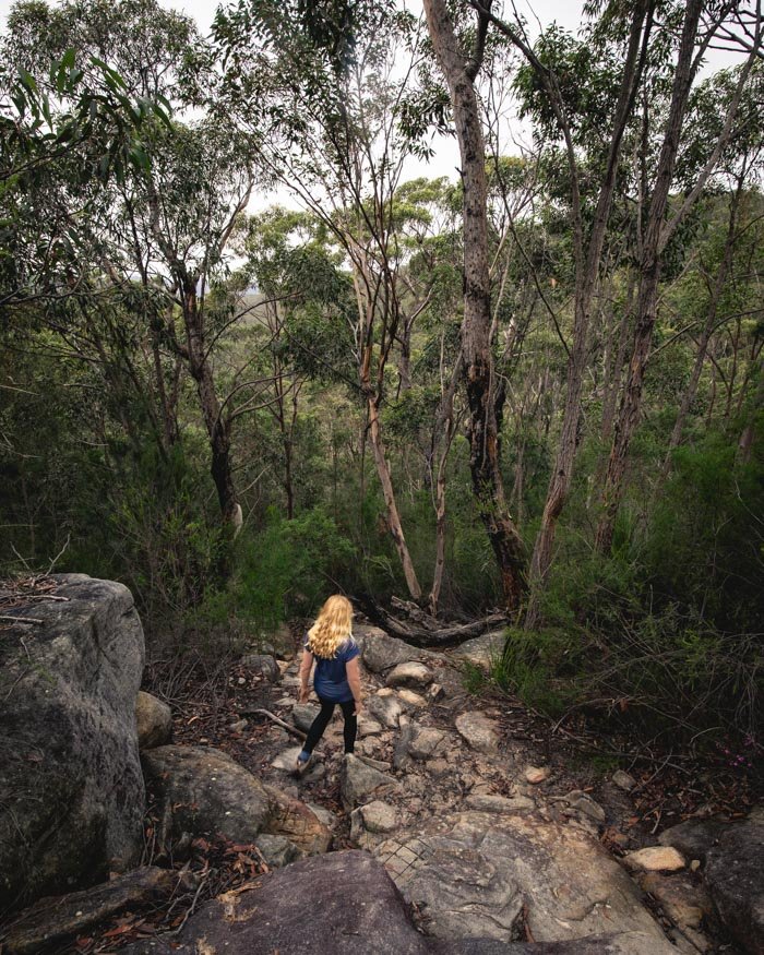
One thing to watch out for is the trains from Hawkesbury River train station only run once per hour so you want to time it fairly well, or plan to grab some food in Brooklyn.
Here are our track notes for the Cowan to Brooklyn Walk (The Jerusalem Bay Track).
21: Malabar Headland Walk
Distance: 6.4km circuit
Elevation gain: 102m
Difficulty: Easy
How to get there by public transport: Maroubra Bus Stop
The Malabar Headland Track is stunning and it’s the perfect coastal walk to do if you don’t want to stray too far from the city but don’t want the crowds of the Bondi to Coogee track.
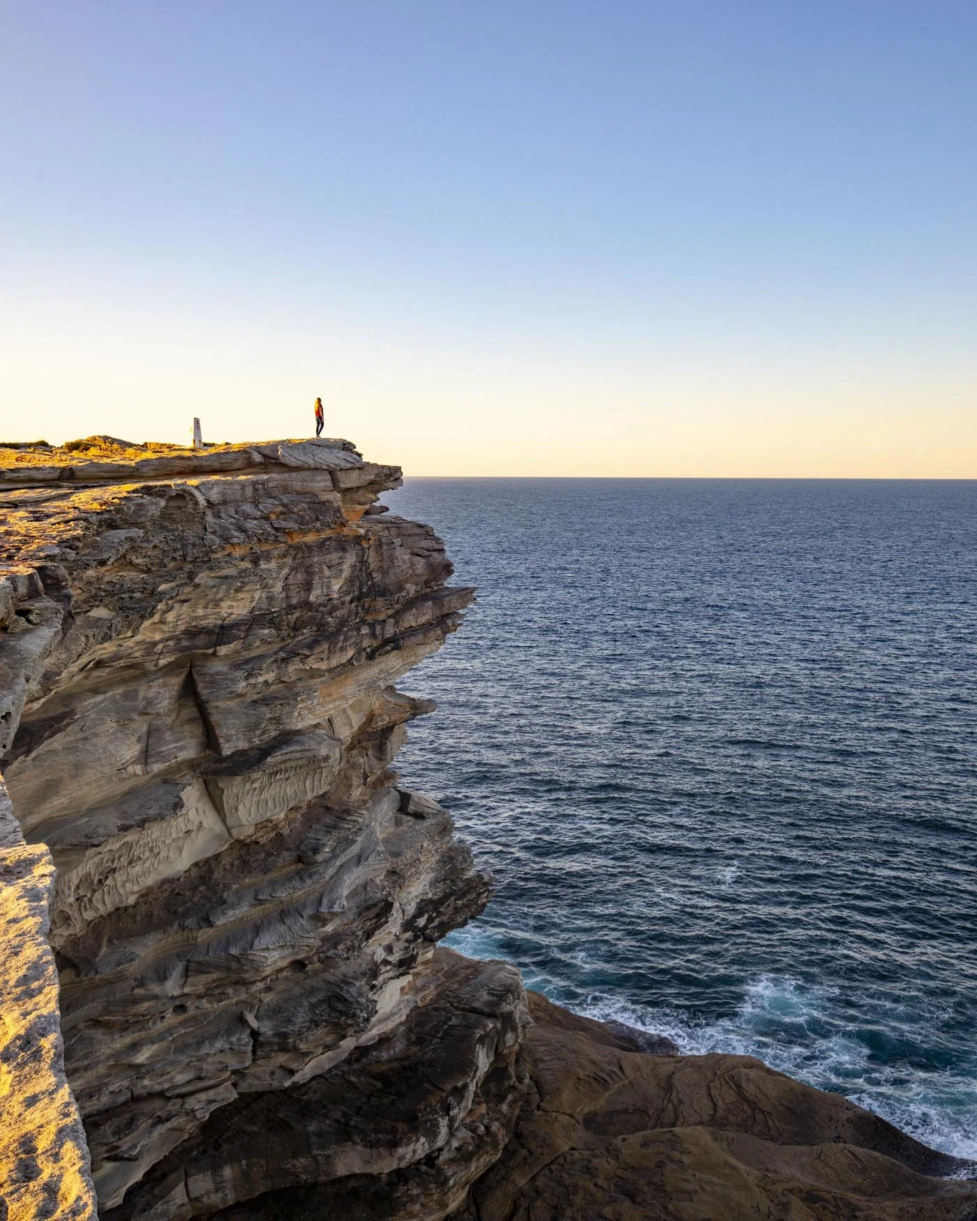
It offers outstanding ocean views, a great beach, one of Sydney’s best whale watching spots and lots of pretty green spaces too. The paths are in good condition and there aren’t too many hilly sections.
If you want to extend the walk you can begin in Coogee or even Bondi and watch as the crowds slowly melt away.
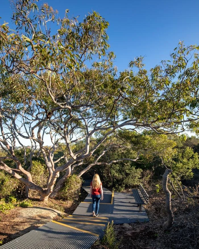
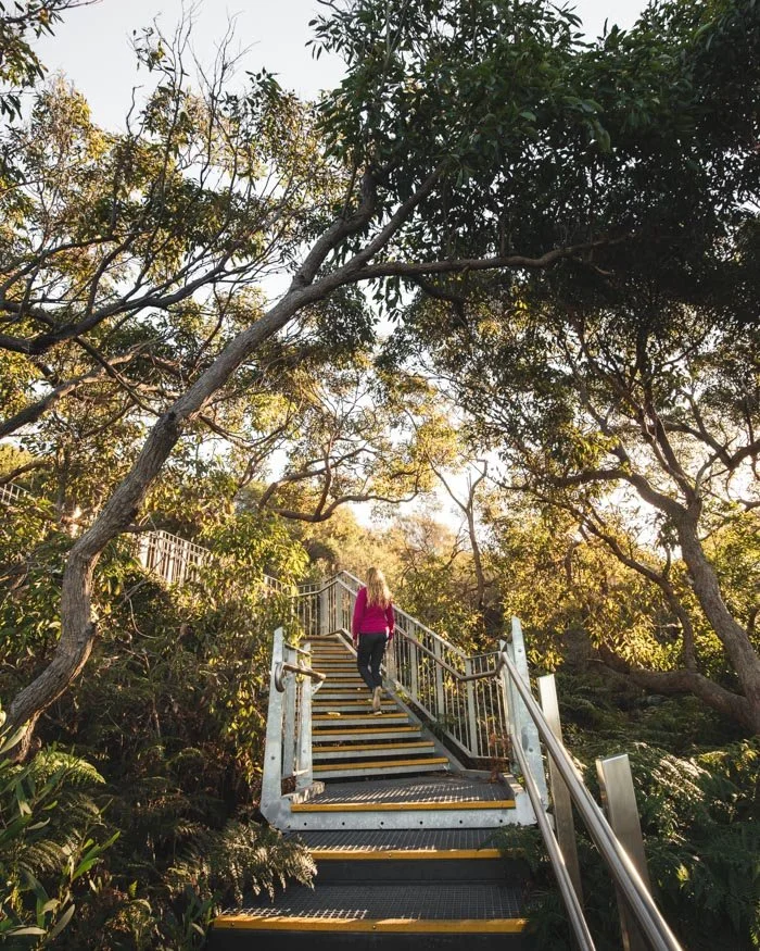
There are direct buses from the city to Maroubra allowing for easy access to the trailhead. Here are the track notes for the walk.
Where to stay in Sydney
Little National
We’ve stayed in several Little National properties now and we love them. The rooms are small but stylish, with huge comfy beds and great showers as well as nice touches like real tea pots and chocolates on the bed each evening. We don't mind the size of the room because they have an amazing communal work space which is perfect for getting work done or relaxing with a book and a glass of wine.
The location is great for being able to walk everywhere with fantastic cafes and restaurants on the doorstep. Parking is ridiculously expensive in this area though so it's perfect if you want to walk or take public transport, but not if you want to bring your car.
Check the latest prices on:



This post may contain affiliate links, meaning at no additional cost to you, that we will earn a small commission if you click through and decide to make a purchase. This helps towards the costs of running our website. Thanks for your support.
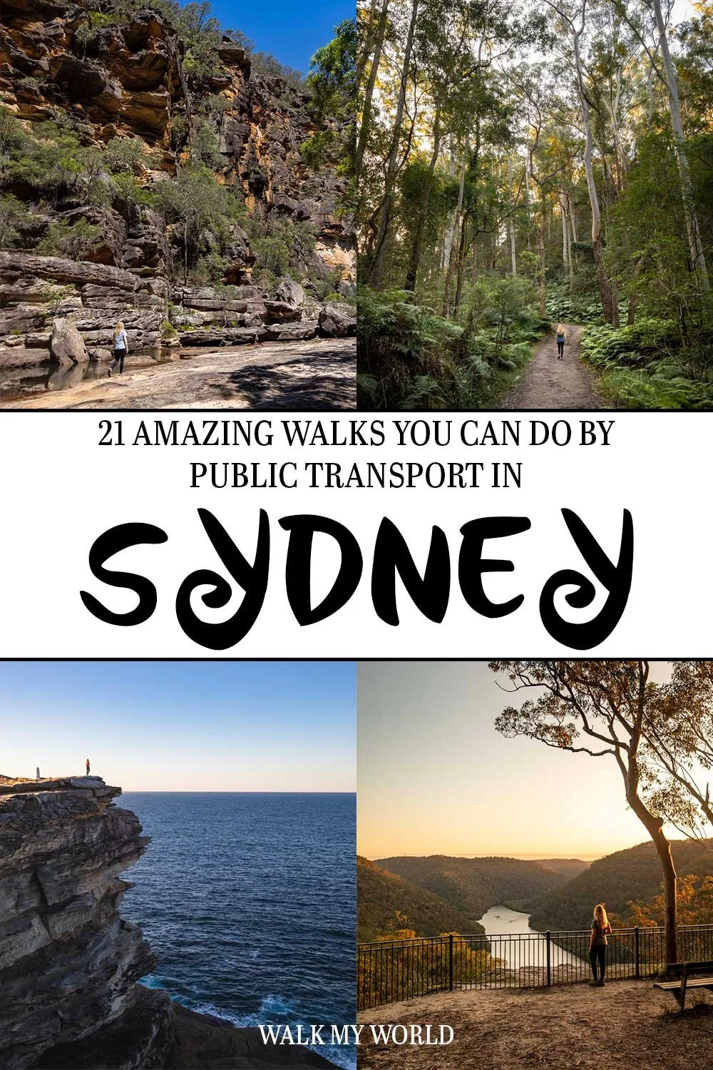




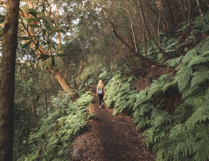
All the best walks in Sydney you can do easily by public transport. Some of the journeys are a means to and end, but some are so scenic they actually add to the adventure! We’re not including any journeys which are arduous and require changing modes of transport, we’re keeping it to manageable routes, but oftentimes you will have to walk a short distance to reach the trailhead.