The Valley of the Waters is one of the most beautiful walks in the Blue Mountains with the chance to visit up to 7 waterfalls (depending on how far you want to walk). Not just any old waterfalls either, but some of the most spectacular in the area. You will be wowed by one after the other and when you think there can’t possibly be any more to see, you round the corner and there’s another jaw-dropping cascade.
As well as waterfalls you’ll also get some fantastic mountain views and stunning rainforest. The great thing about this walk is that the trail to many of the waterfalls is very well maintained, so it’s a great family friendly option. There are lots of stairs but you won’t regret it!
Here’s exactly what to expect at the gorgeous Valley of the Waters.

Valley of the Waters
The trail stats
Distance: 1.7km each way (3.4km total)
Elevation: 285m
Difficulty: Easy - moderate
The Valley of the Waters Track is well formed up until the fourth waterfall (Lodore). Some sections of the path can be quite wet and a tiny bit slippery, but wherever this is the case, there are handrails.
Beyond the fourth falls you will find the trail deteriorates a bit, no part of it requires scrambling though. We’d recommend allowing 2 hours for the walk to see all the falls, or around half that to see the first couple. Allow more time if you love to linger.
Starting the trail at the Conservation Hut
The Conservation Hut is a great place to start and finish your walk as the cafe there has sensational mountain views. If you’re walking on a hot day you’ll be grateful for the chance to get a cold drink after coming up all those staircases!
If you’re like us though, it’s a great place to top up your caffeine levels!


The trail begins just to the left of the cafe and heads straight into the bush. They are currently renovating the track so expect it to be in even better condition very soon.
They are replacing the old wooden steps with pavers which is great news because the wooden ones get heavily waterlogged after rain - and ideally you want to visit after rain to get the most out of the waterfalls!

Heading to Isobel Falls
The first point of interest along the track comes just 350m in, when you’ll reach the Queen Victoria Lookout. The view of the Jamison Valley is gorgeous and you’ll hear Empress Falls roaring in the distance.

You only have to wait another few minutes to get your first glimpse of the top of the falls, as Empress Lookout is just 150m further along the trail. The show-stopping views come a bit later though!
From Empress Lookout you’ll begin descending more steeply on metal staircases and stairs cut into the rock, which are usually damp.

They aren’t overly slippery even when wet but in any case there is a handrail which ensures you won’t slip. You’ll soon reach the junction with the Nature Track and you’ll head left towards Empress Falls.
Before you arrive at Empress, you’ll cross some stepping stones, and the environment starts to get wetter and more lush. You’ll see a reasonably tall, but not very powerful waterfall here and this is Isobel Falls.


To be honest, we never realised it counted as a waterfall until we saw the pictures in the Conservation Hut! From here on in it gets much more dramatic.
Onto Empress Falls
Beyond Isobel you’ll descend some steep wooden staircases and you’ll hear Empress Falls getting louder and louder.
If you’re walking on a weekend you’ll probably also hear the shouts of delight from the canyoners - Empress is one of the best waterfalls for beginners canyoning and it’s raucously popular.


You’ll head on to rocky steps and soon round the corner to see Empress Falls between the trees - it’s an incredible sight. It thunders down the canyon and is surrounded by dense fern covered cliffs.
The base of Empress Falls is just 900m in total from the Conservation Hut, so it really doesn’t take long at all to get here.

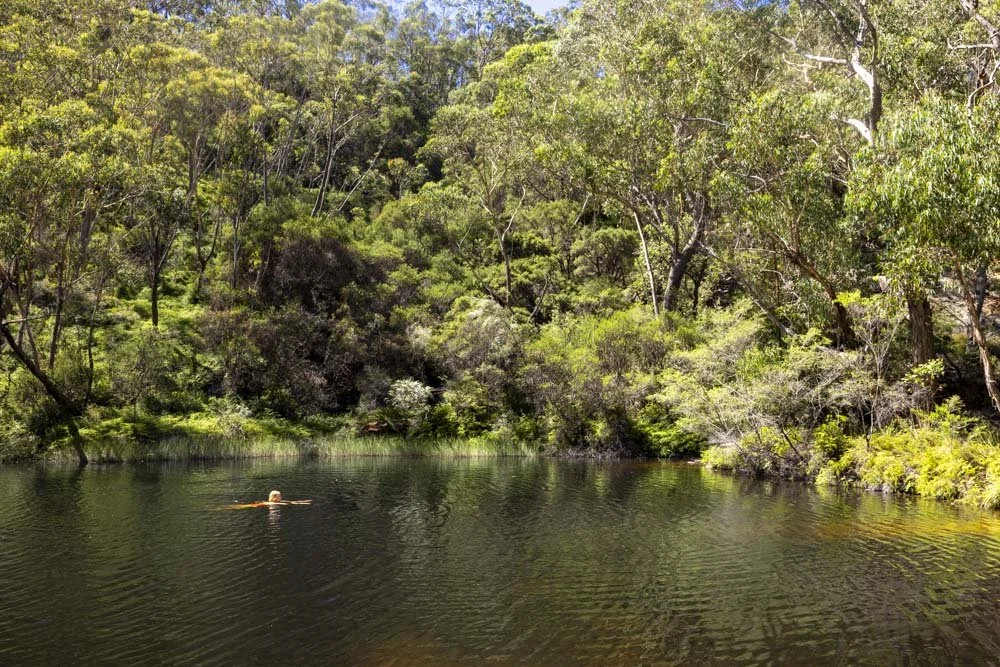
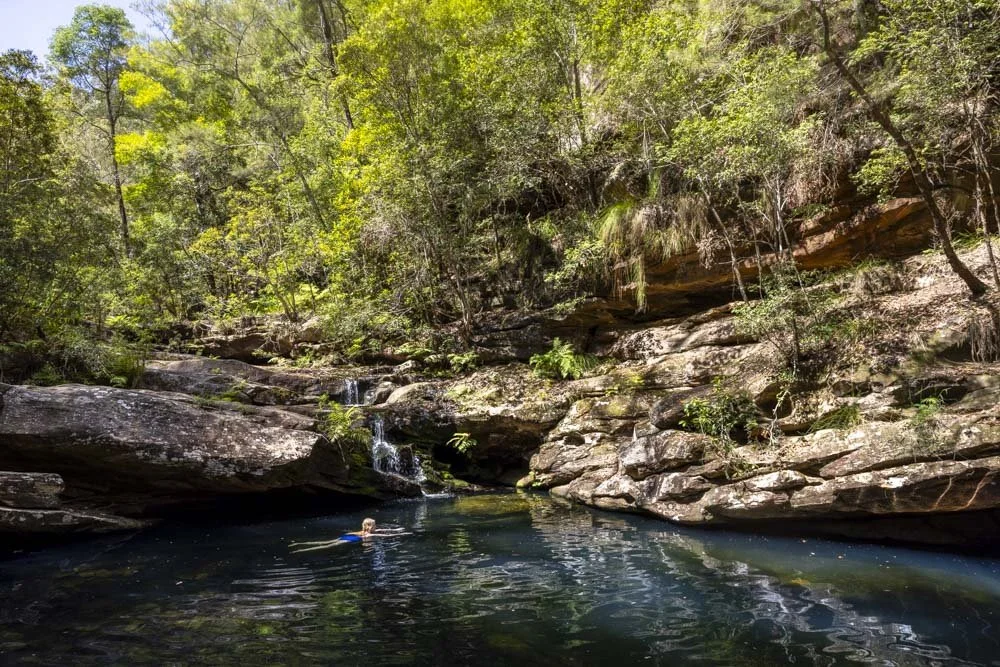
It’s a great waterfall and we always stop to watch the canyoners here. If you time your visit right you can even take a dip in the cool emerald waters at the base of the falls.
Onto Sylvia Falls and Lodore Falls
On leaving Empress Falls you only have a few minutes to wait and a few stairs to climb down (150m) before you reach Sylvia Falls. It’s an enchanting waterfall and one of my favourites in the mountains.


It’s something about the way the water cascades in multiple streams down the jagged rocks. It’s a real beauty. In the opposite direction you also get a fantastic mountain view, you really are spoilt on this track!

One staircase and another 50m later and you’ll reach the cute stepping stones which take you over the top of Lodore Falls.

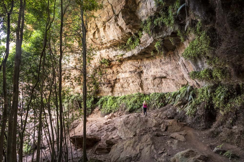
Walk a little further along the sandstone cliffs and peek through the bushes to see a bit more of the ginormous and spectacular Lodore Falls.


The only sad thing is that you can never really get a good clear view of the whole of Lodore Falls, as it is heavily obscured by foliage, which is a shame because it’s such a great waterfall.
There is a little side trail 150m beyond the top of Lodore Falls when you can get a partial unobscured view, but it’s a bit narrow and sketchy so watch your step.

Lodore Falls is the natural turn around point if you don’t want to walk on any rough terrain.
Beyond here you are technically entering the Wentworth Pass which is a less well maintained path - don’t worry about the sign with the ladders though, that is much further along the track and not required to see the next three waterfalls.

Onto Flat Rock Falls
It’s only an additional 450m each way to reach three more fantastic waterfalls and it’s not really that much more difficult. In short, unless you really don’t want to walk any further, we’d highly recommend adding on the next three waterfalls.
The trail does continue heading downhill though, which adds on a total of 77m extra elevation to the whole track.

You’ll almost immediately see a little path on the left to Flat Rock Falls, you get a good close up view from here, but I actually prefer the view from the main trail, 50m further along.

The close up view
The dirt path to get there is steep and not in the best condition, but it’s only 50m.
Once at the base, you have to hop over a few rocks, some of which can be submerged after heavy rain, but we’ve never seen enough submerged that it would be hard to cross.
From here you get a full on look at Flat Rock Falls and can really take in the amazing rainforest setting.

The creek crossing

The wider view of Flat Rock Falls
It’s a nice place to sit and relax on the big rocks and take in the beautiful surroundings.
Onto Britannia Falls
Once you leave Flat Rock you are just 250m from the next waterfall, which is one that definitely stole my heart. The path is rocky with the odd tree root but nothing too difficult.
Now the trick for the next waterfall, (which we think is called Britannia Falls but as there are no signs it’s hard to tell), is to look for the overgrown side trail to the left when you can hear the falls loudly through the bushes.

If you don’t take this little one minute diversion you will completely miss the waterfall. Just watch out for mud here as I managed to sink my entire boot into a patch of mud that looked really insignificant. Still, it was worth it because Britannia Falls is a hidden gem.

It’s a terraced waterfall surrounded by ferns that gives you that secluded ‘I’ve just found a secret gem’ feeling. It is unbelievably beautiful. There’s only really one good rock you can sit on to admire it, as the path is so narrow and surrounded by mud but since there has never been anyone here when we visit, one rock is enough!
The final waterfall
The final waterfall, Red Rock Falls (we think!) is gorgeous, but it doesn’t have the best viewpoint if you don’t clambour over a few boulders. You can still see it, but just not in all its glory. For me it’s still worth the extra 100m walk from Britannia Falls though.
It’s a lovely waterfall surrounded by boulders and rainforest and has a sweet little pool at the base. You get a side on view from the trail, or the rocks would take you to a point where you can see it front on. The boulders are extremely slippery though.
I didn’t do it personally but Joe did, and he slipped three times which pretty much never happens, so be really careful if you do it.

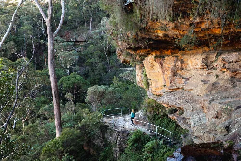
If you’re still feeling really energetic at this point you could continue along the Wentworth Pass Track (to the base of Wentworth Falls) and back to the Conservation Hut along the Short Cut Track, which forms a circuit.
If not, this is the turn around point to head back up the Valley of the Waters.

The walk back up is pretty much relentlessly uphill, but you can always stop to re-admire every waterfall on the way and break up the journey! We walked it without stopping for more photos in 35 minutes, so it isn’t as long as you might think when you’re coming down, as pausing at each waterfall makes it feel further than it is.
I definitely got very out of breath heading up, but knowing you can get a cold drink at the top at the Conservation Hut is always motivating!
Essential information about the Valley of the Waters
Parking
Whilst there is parking available for free and for an unlimited amount of time at the Conservation Hut, it is rare you’ll find a space. You can park a few minutes walk away along the street though.
Public transport for the walk
If you don’t mind walking a little extra you can catch a train from Sydney Central Station to Wentworth Falls which takes around 1 hour 50. You can then hop on the 685 bus to Fletcher Street, which is just a few minutes walk from the Conservation Hut.
Where to stay overnight
If you’re planning on staying overnight here are a couple of great options.
Apple blossom Cottage
We stayed at Apple blossom cottage and it’s really cute and cosy, and has a full kitchen so we could self cater. There are three bedrooms so if there are only a couple of you, check out our second recommend below.
You can check out the reviews and prices on Booking.com.
Mountainside B&B
This is the B&B that we could never get in to and believe me I tried many times!
I wanted to stay the moment I saw a photo of the bathtub with a view. Judging by the reviews from others if I ever get in there it will have been worth the wait.
You can check out the reviews and prices on Booking.com
This post may contain affiliate links, meaning at no additional cost to you, that we will earn a small commission if you click through and decide to make a purchase. This helps towards the costs of running our website. Thanks for your support.