
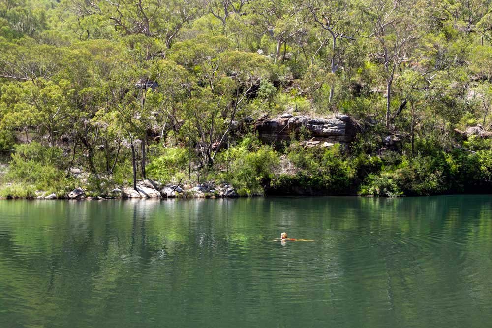
The clear green waters of Boobera Pool are great for swimming, yet it remains one of the least well known swim spots in Heathcote National Park. And that’s probably in part due to the fact you need to put in a little more effort to reach it. Though much of the walk is on a wide well maintained fire trail, the final kilometre is on a path that’s a touch overgrown and not always in the best shape.
However, that does mean the chance of bumping into anyone else is extremely slim and in addition to the pool you can also visit a rather special campsite and the remains of an old bushwalkers hut.
Here’s what to expect from the track.

The Boobera Track
The stats
Distance: 4.6km each way
Elevation gain: 380m
Difficulty: Moderate
Trailhead: Far west end of the Pipeline Trail
Summary: The Boobera Track is an off-shoot of the Pipeline Track and as such can be started at various different points. We opted for what we believe to be the shortest route which was along a part of the Pipeline Track we hadn’t walked before, beginning at Woronora.
You could also start at Oliver Street and go via Lake Eckersley (we estimate this walk to be around 7.4km each way) or the Waterfall end of the Bullawarring Track. If you use the same route as us, the walk is mainly downhill on the way, so the climb back up is quite significant.
The majority of the walk is on a fire trail that is very exposed to the elements, so you will definitely feel it on a hot day. The final kilometre to the pool is on an unmaintained path which is usually easy to follow and often marked by cairns in any spots which are less obvious. However, it’s very scratchy so trousers are recommended.
The terrain is generally rocky with a few minor washed out sections. It’s not slippery (when dry) but watching your footing throughout much of the descent is a bit tedious.
Continuing to the campsite involves a bit of easy rock hopping and heading on to Old Todds Hut requires a short climb through overgrown bush.
Starting the trail: along the Pipeline Track
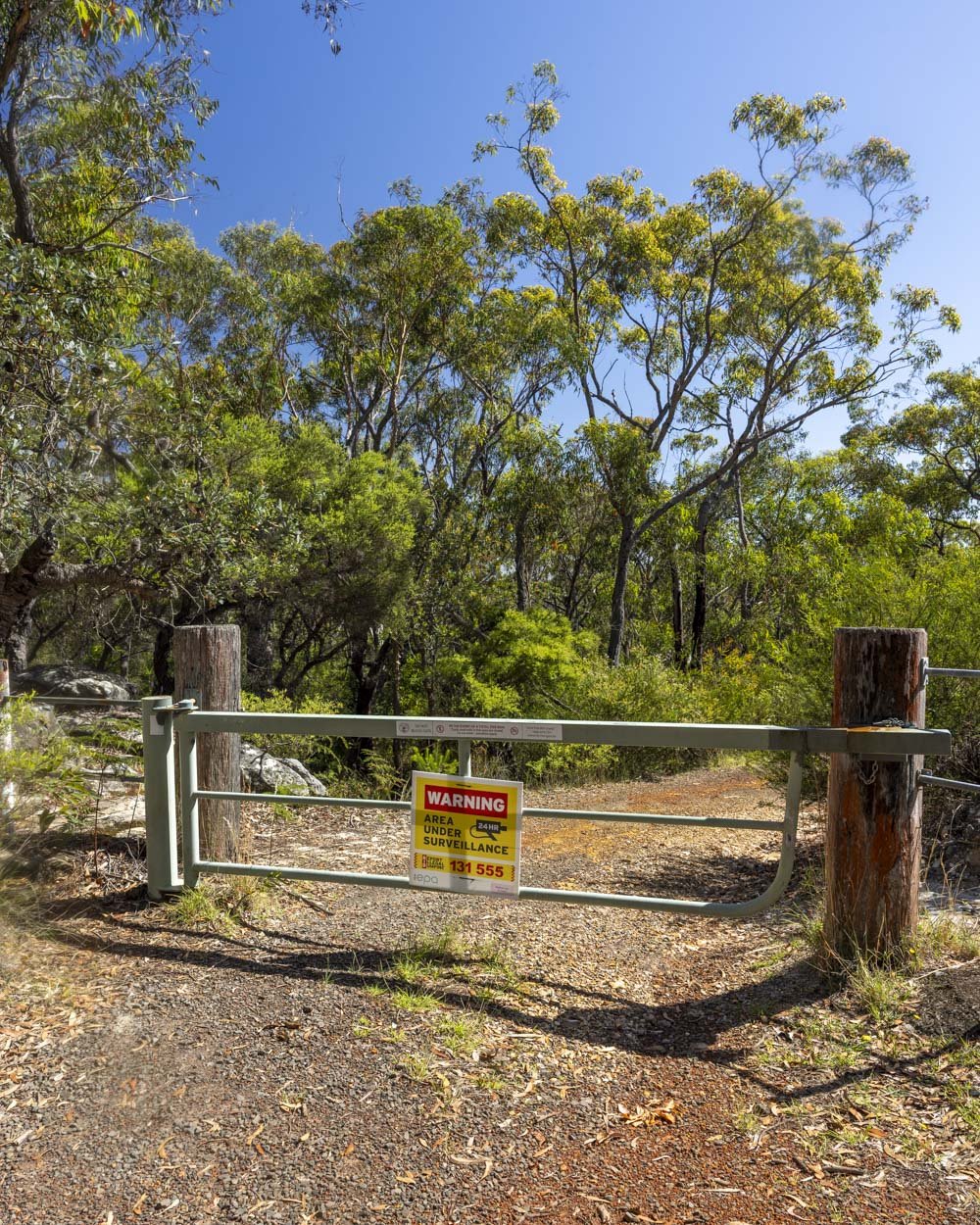
From the parking point just off the Woronora Road (full parking details below) you will pass around the gate in front of the fire trail and head uphill for 200m. The path then flattens and you will come to a junction 250m later.
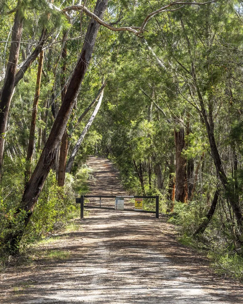
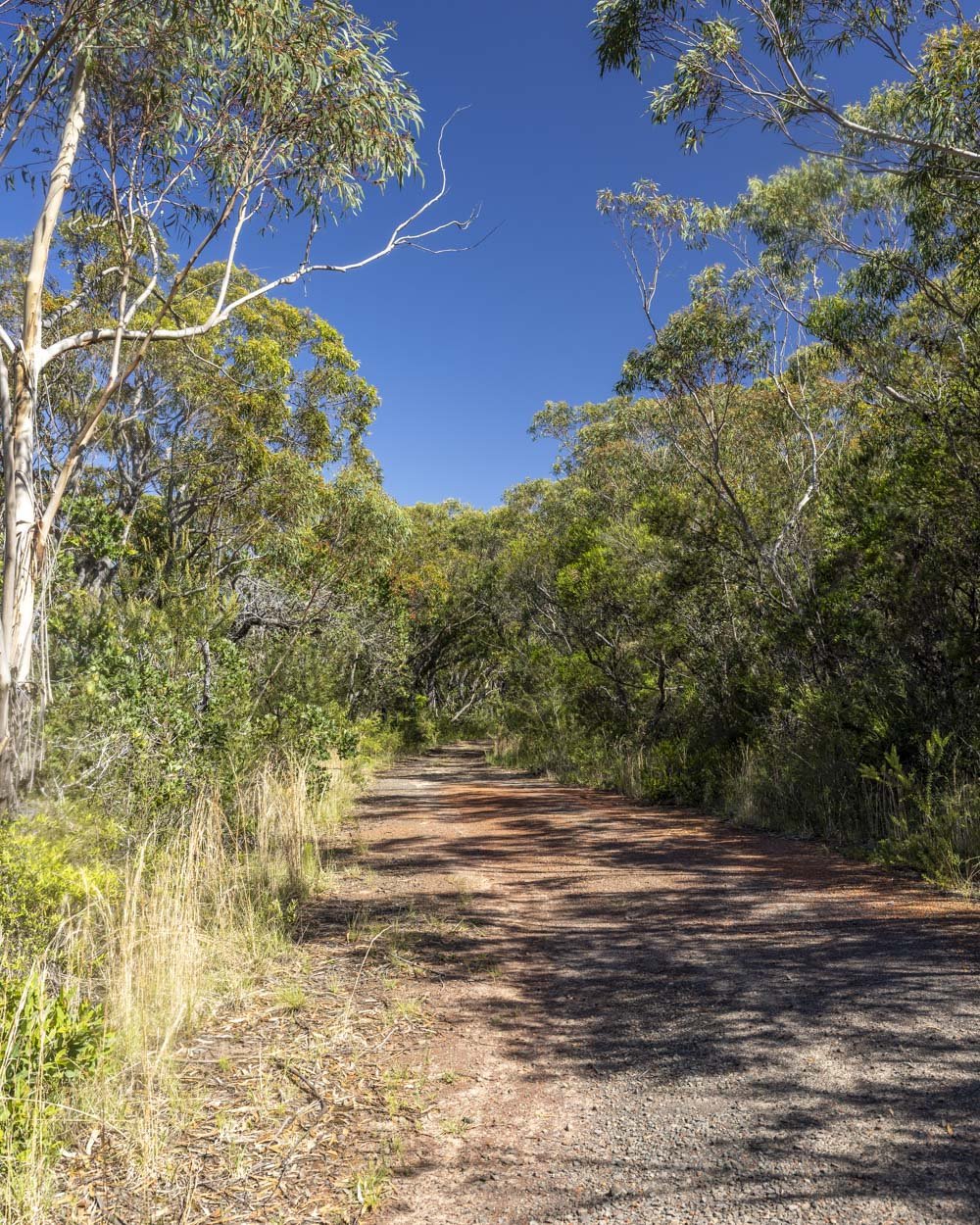
There’s a picnic bench here and you need to continue straight, around a second locked gate. The fire trail is now paved and you will head gently downhill before it almost flattens.
There are a couple of very short uphill sections and some flat track, but much of the way to the pool is downhill. The fire trail oscillates between gravel and tarmac, but it’s not slippery or overly steep.
After 1.9km you will come to a junction and you need to continue straight, there’s another pool signposted to the left which we’ll be back for another day!
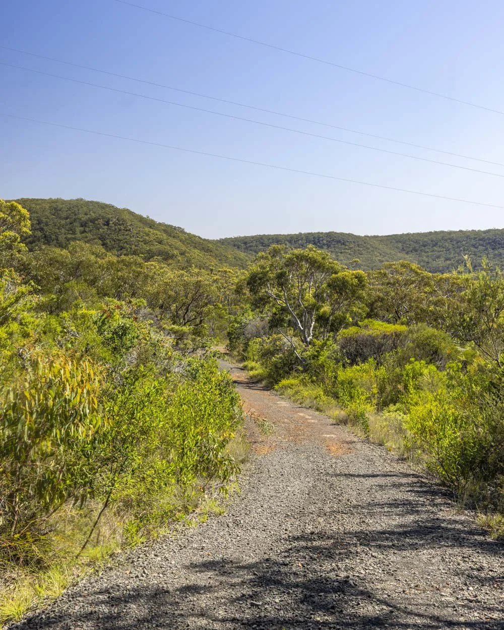
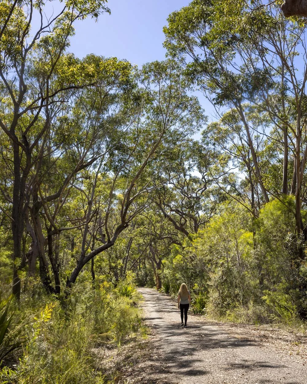
The next stretch is a mix of gentle descending interspersed with some steeper bits (not slippery) until you reach a second picnic bench at the 2.9km mark.
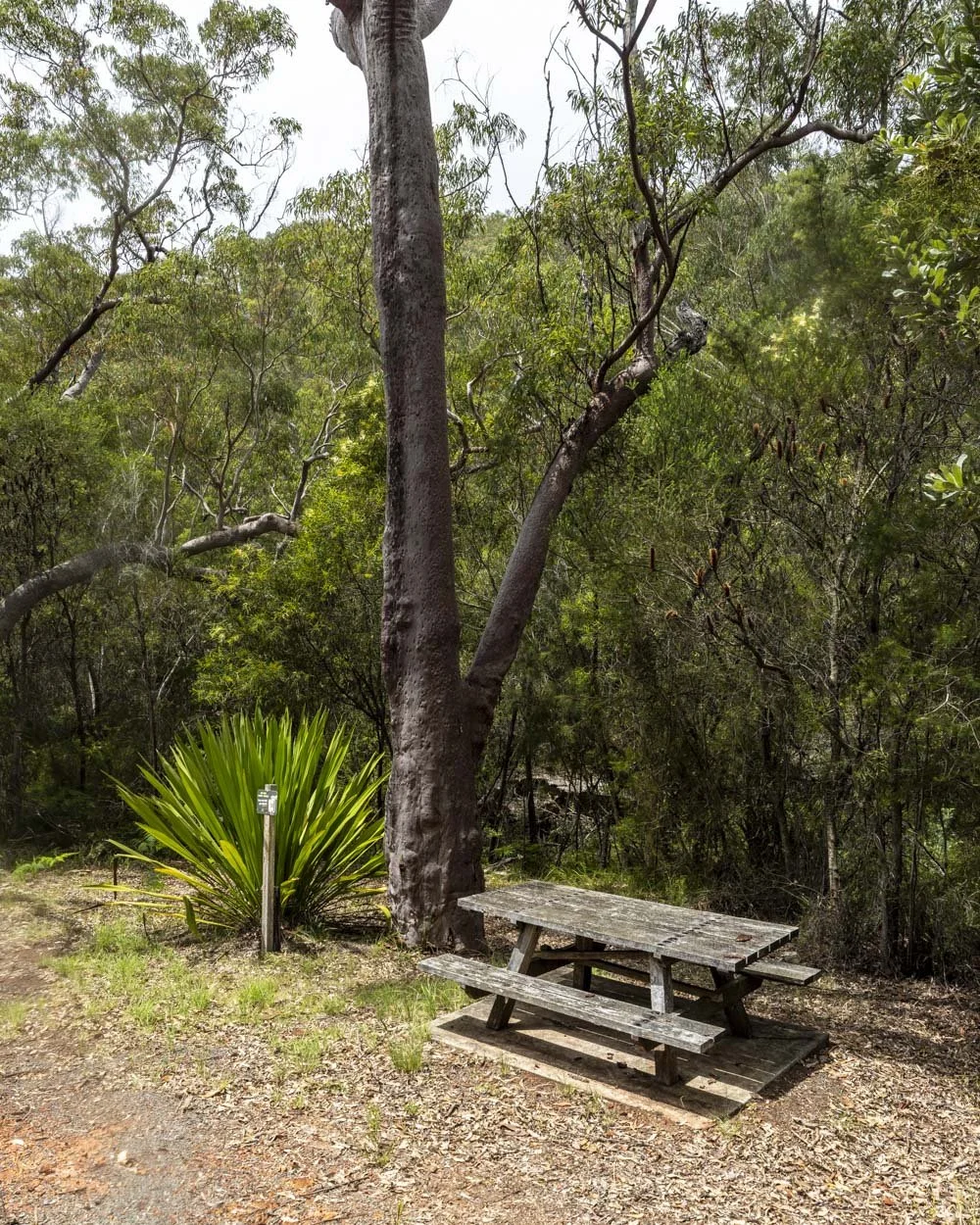
The path now completely flattens and approximately 50m later you cross over a dry ford and pass briefly through a marked rockfall site.
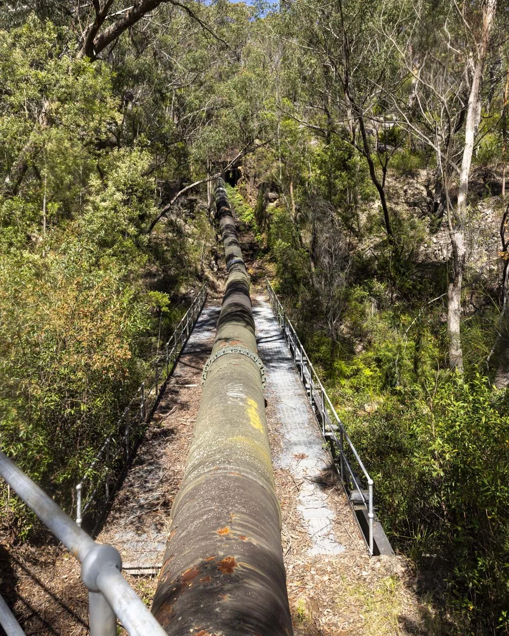
Roughly 250m further along (just over 3.2km into the track) you will reach the pipeline and pass over the wooden bridge.
Finding and walking the Boobera Track
There are no signposts for the Boobera Track, to find it you need to cross the wooden bridge and bear right. After a few metres you will see a shallow access point to bear right and cross directly under the bridge, walking alongside the pipeline.
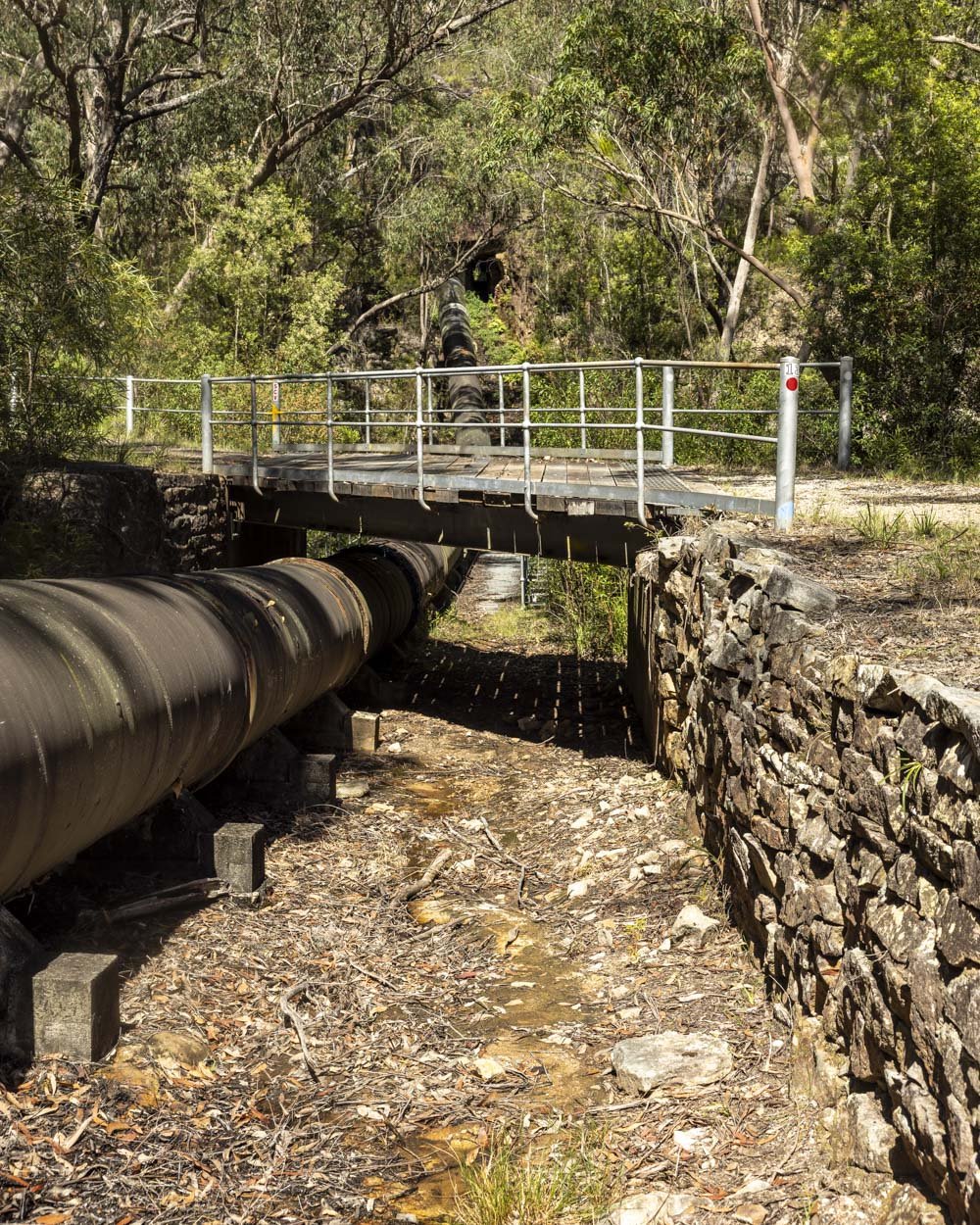
Cross over the metal walkway and at the very end you can climb through the railing at which point you will see a worn trail leading uphill into the bush on the right.
The first 30m are steep and a bit loose, but it flattens out after that and the terrain improves.
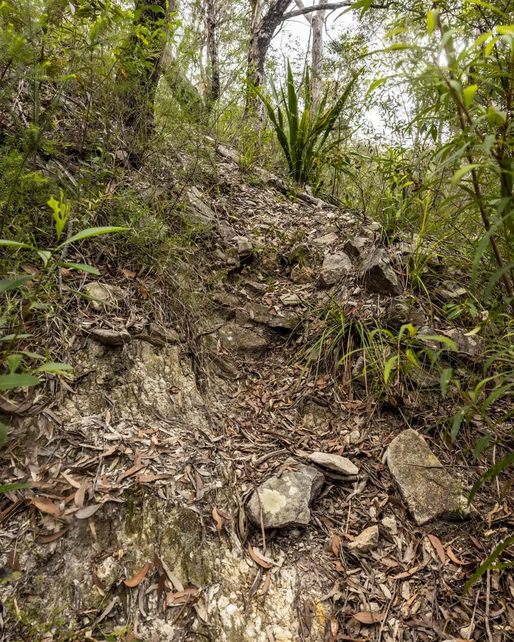
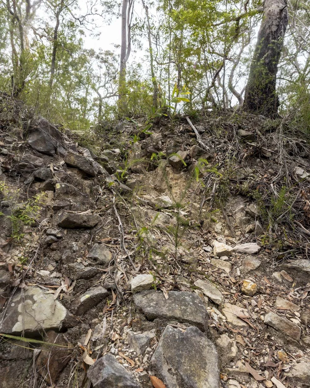
Soon you’ll come to a wide tree that really stands out (you can see it in the photo below). It might appear as if the trail is to the right of this tree, but it’s actually to the left and slightly uphill.
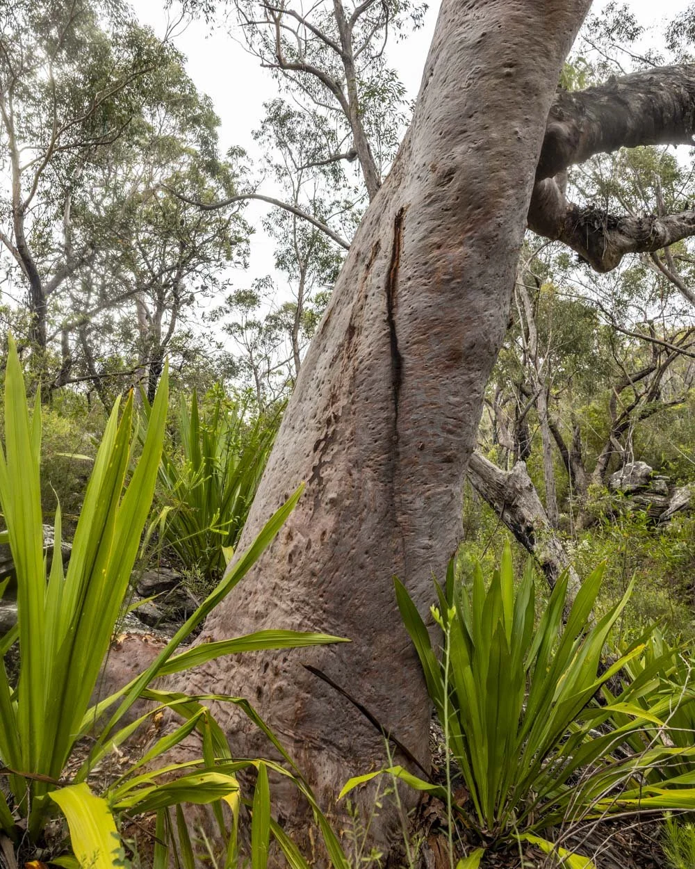
You’re now in a beautiful patch of bushland. I was really happy to reach this bushy section after the exposed fire trail, however, I liked it less as we went along and it got very scratchy!
We were walking on a really hot day and the combo of the heat and scratchy bush wasn’t the the most enjoyable!
However, the trail is generally easy to follow and marked with intermittent cairns. There are one or two points where I had to stop and take a look around before working out which direction to go in, but I could always find the way after a brief look.
At the 3.5km mark you need to cross a dry creek gully and you will start ascending quite steeply.
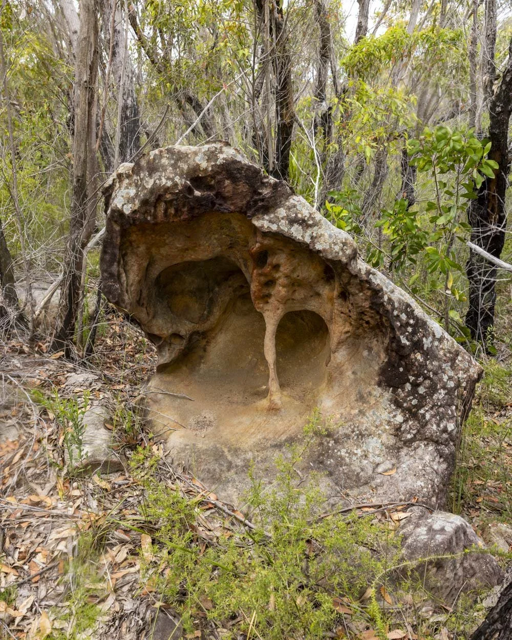
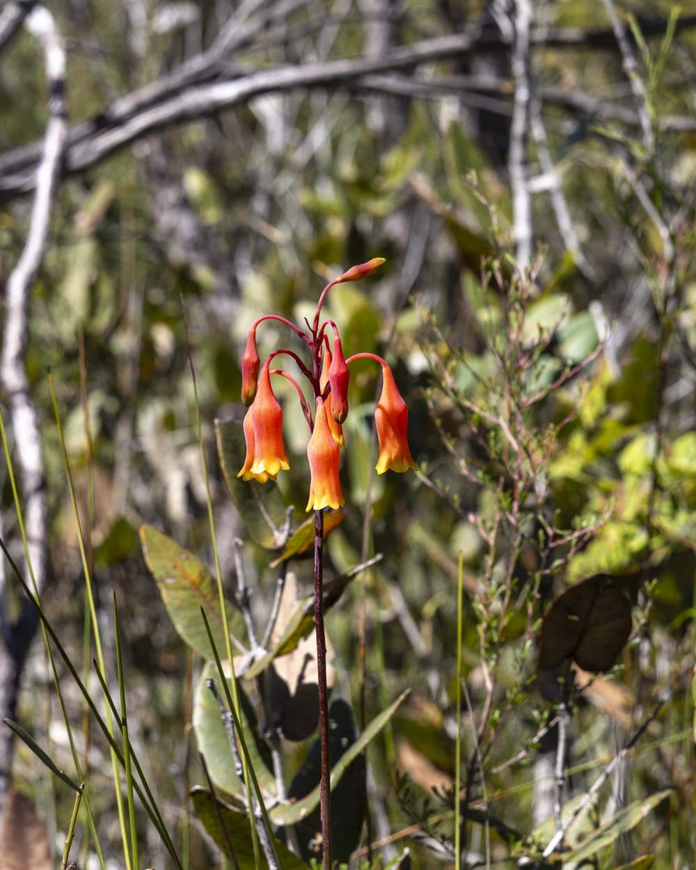
The gradient slackens after 150m and there is a tree to duck under but it’s easy enough.
Roughly 50m later, or 3.7km into the walk, you will have reached the saddle. You’ll see a burnt out white tree and just beyond it the trail changes direction and heads left (northwest instead of north-northwest).
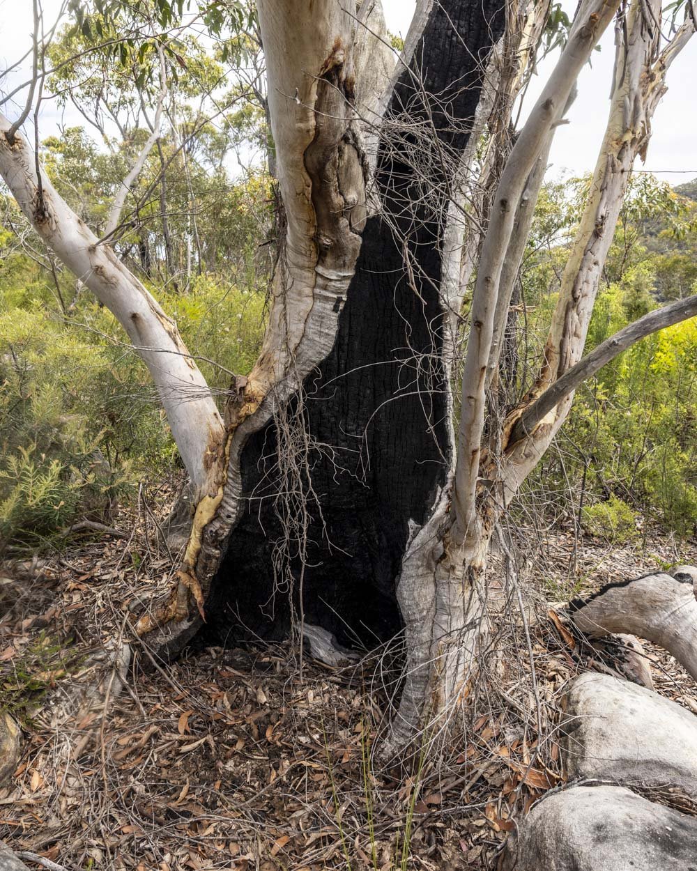
It’s not too obvious as it becomes overgrown for 50m, but it soon opens up and you’ll see the worn trail again. From here you will begin the descent to the Boobera Pool.
Roughly 70m in, there is a tree to climb over and shortly after the bush opens up and you have a lovely un-scratchy section.
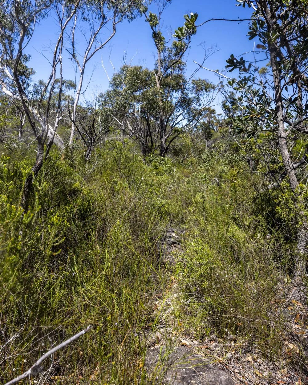
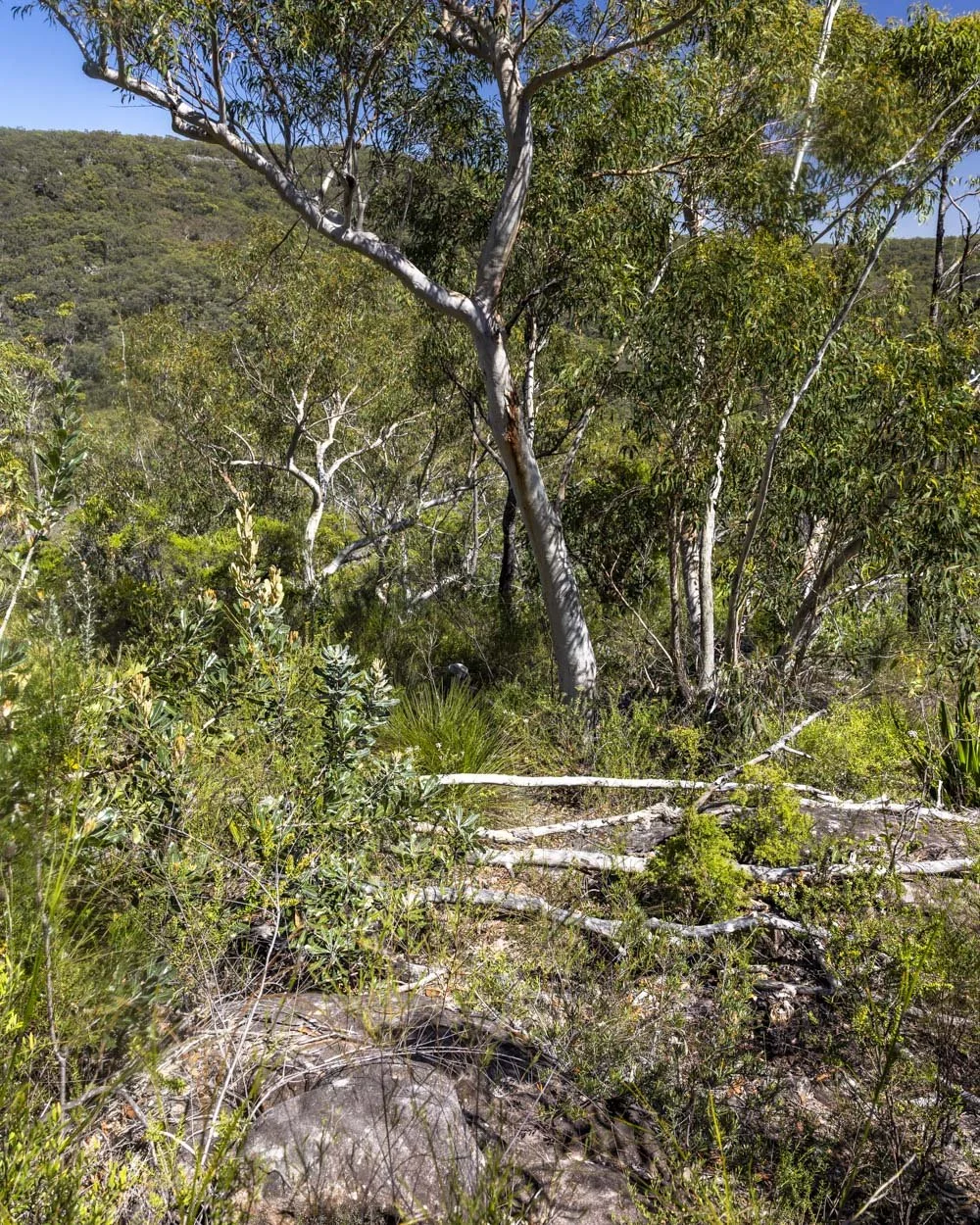
Alas, it doesn’t last long! At the 3.9km mark the track is less obvious again, it continues at the far left of the rocks beside the large tree.
I would say the final 250m to the pool are probably in the worst condition and a bit steeper than the rest of the track. It’s rough underfoot with a few washouts and little patches of debris. It wasn’t slippery but required more care with footing.
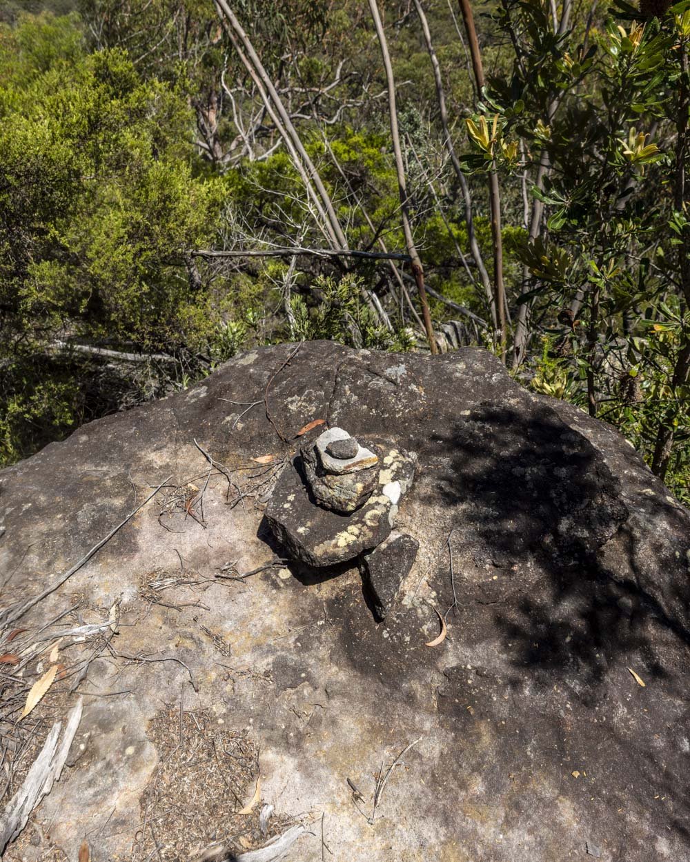
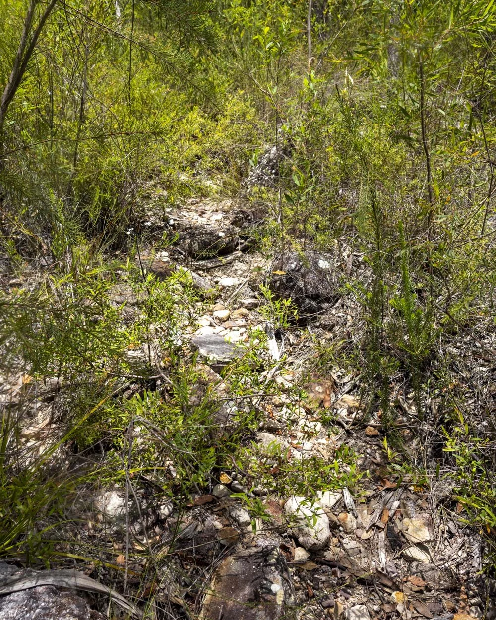
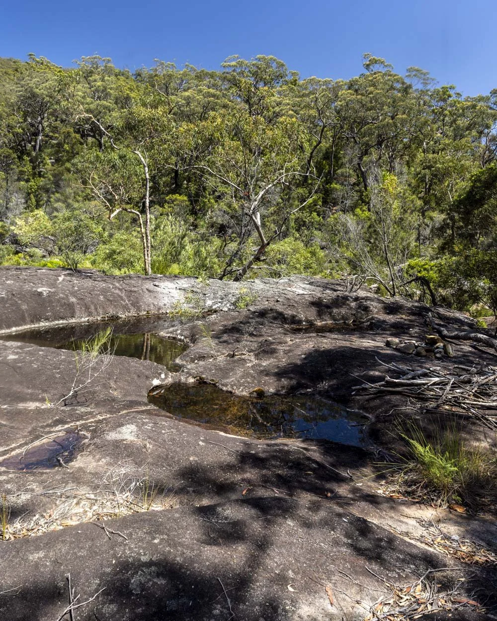
You’ll arrive at a rock platform at the 4.1km mark and this marks the end of the descent.
Swimming at Boobera Pool
You’re now down at creek level but there’s one last sting in the tail and that comes in the form of entry to the water. I used two different entry points but unfortunately both required negotiating rocks which are covered in a fine layer of mud making them slippery.
I think on balance the easiest access is to enter the water just a little beyond where you will see the charred remains of an old campfire, very soon after you reach the rock platform.
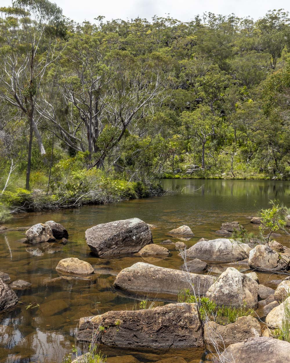
You need to rock hop on some dry rocks at first which is nice and easy, but then you will reach the entry point to the water and the muddy rocks.
There’s only a small patch to get through, but go really carefully as they are very slippery. Happily once you’ve crossed them you will reach a deep and largely unobstructed part of the pool, which is bliss.
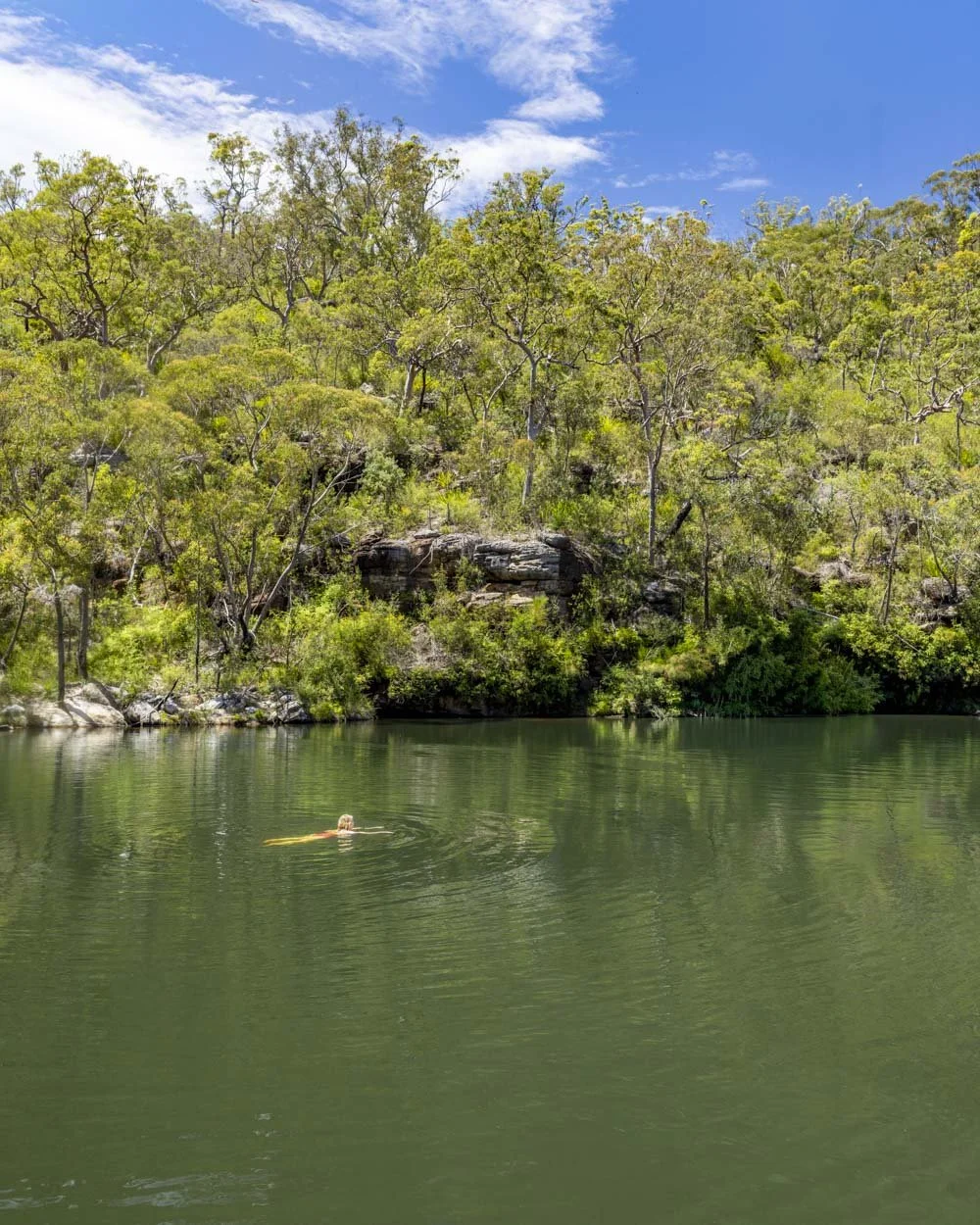
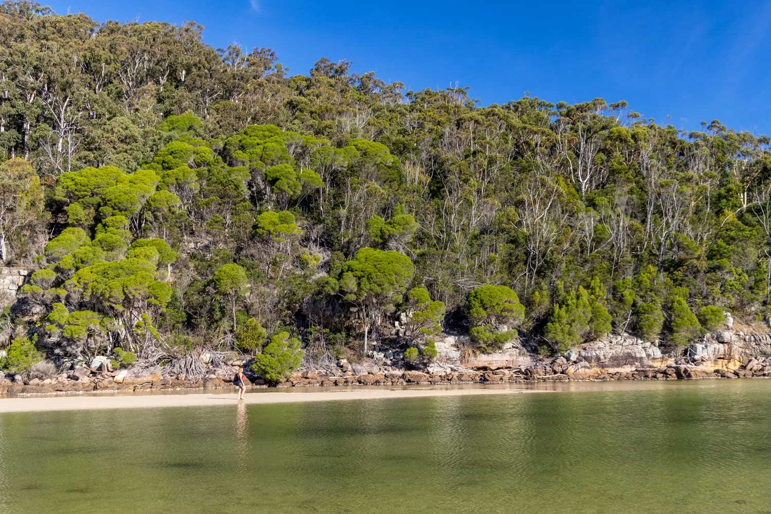
The water is relatively warm and the pool is huge, giving you so much space to swim. On a sunny day the water reflects all the surrounding trees and plants creating a pretty shimmer in a vivid array of greens.
There’s a little bit of a rock wall in the middle of the pool which was my favourite area to swim and bar the odd plane flying overhead, it’s very serene.
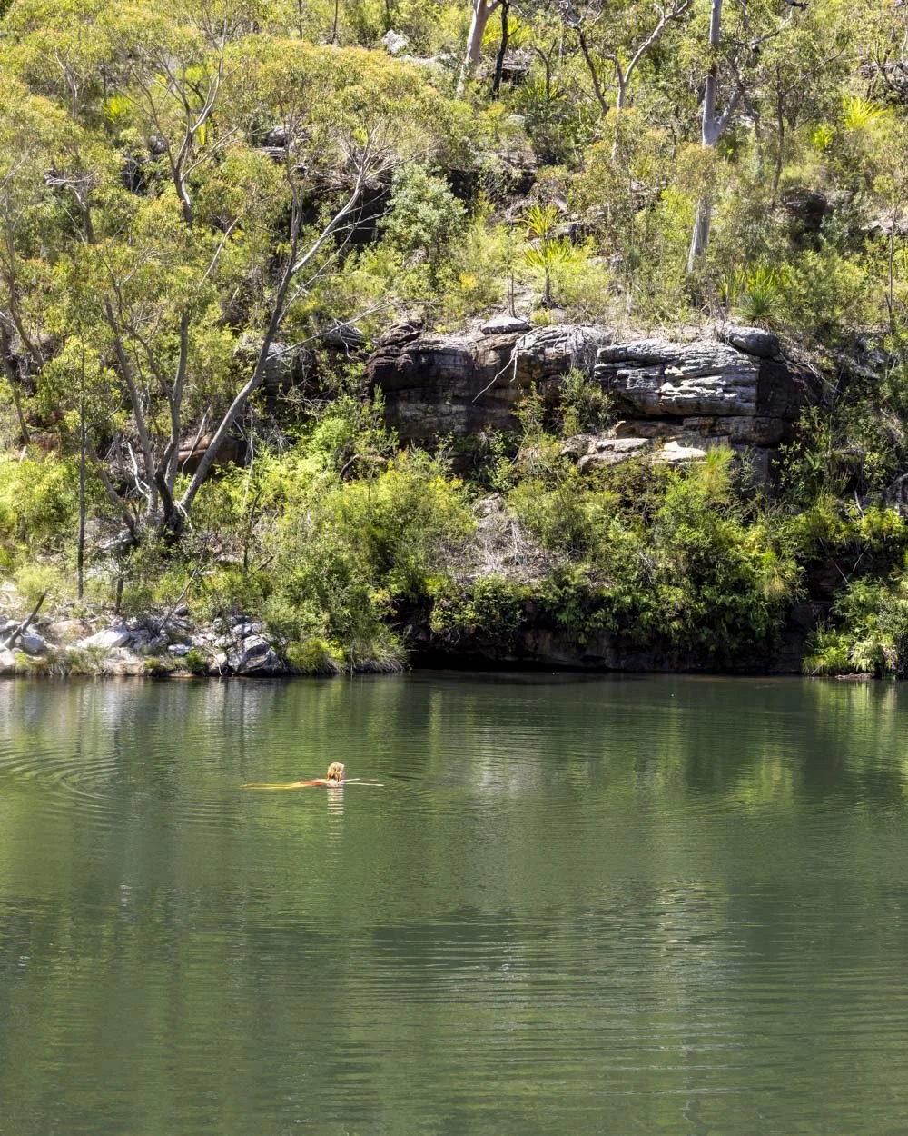
It was lovelier inside the water than it appeared from outside, especially when the wind died and the pool became very still.
The Kingdom Come Campsite
From the rock platform that the main trail drops you down to, to find the campsite you need to walk across the rocks, crossing the creek at whichever point looks easiest to you (roughly 50m from where the burnt out campfire is).
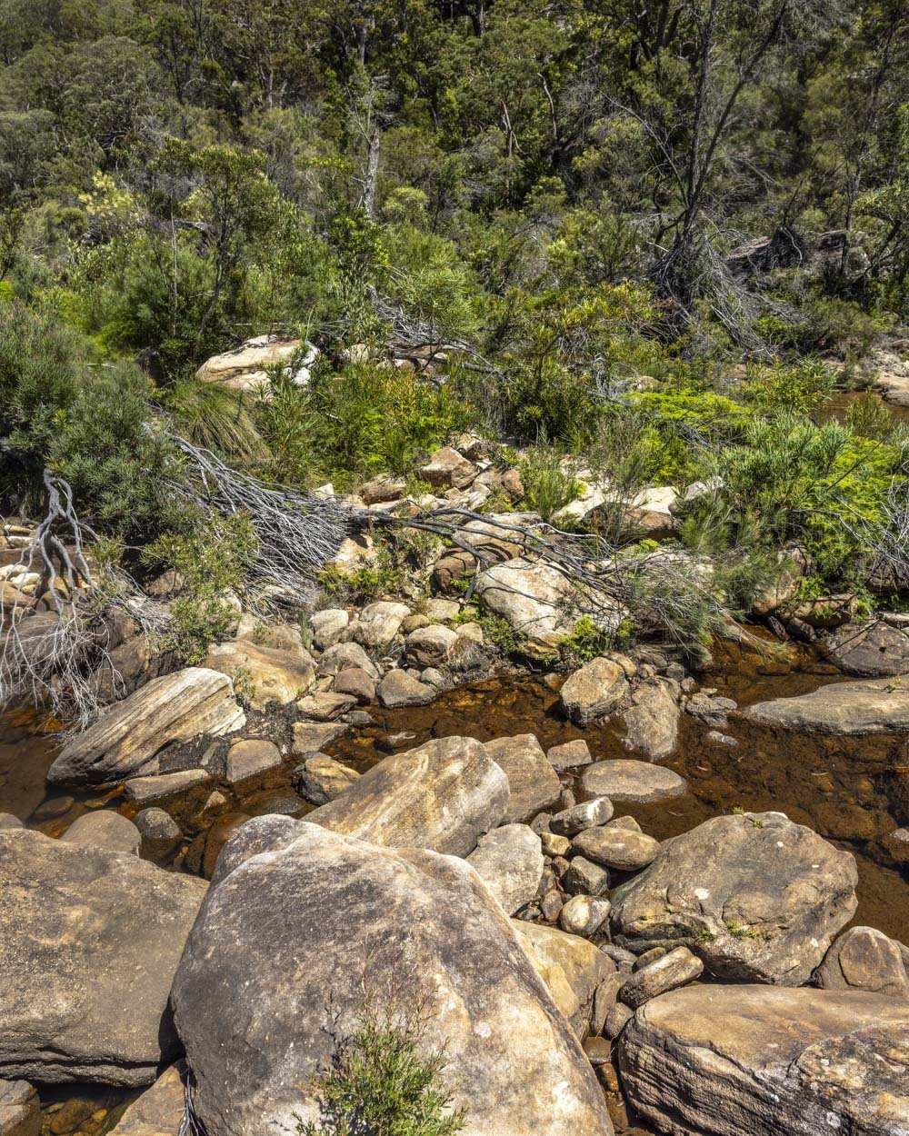
We opted to go through the water which was very shallow, but you could probably do some fancy foot work and stay dry. Once you’re on the other side of the creek you will see a worn trail leading uphill into the bush.
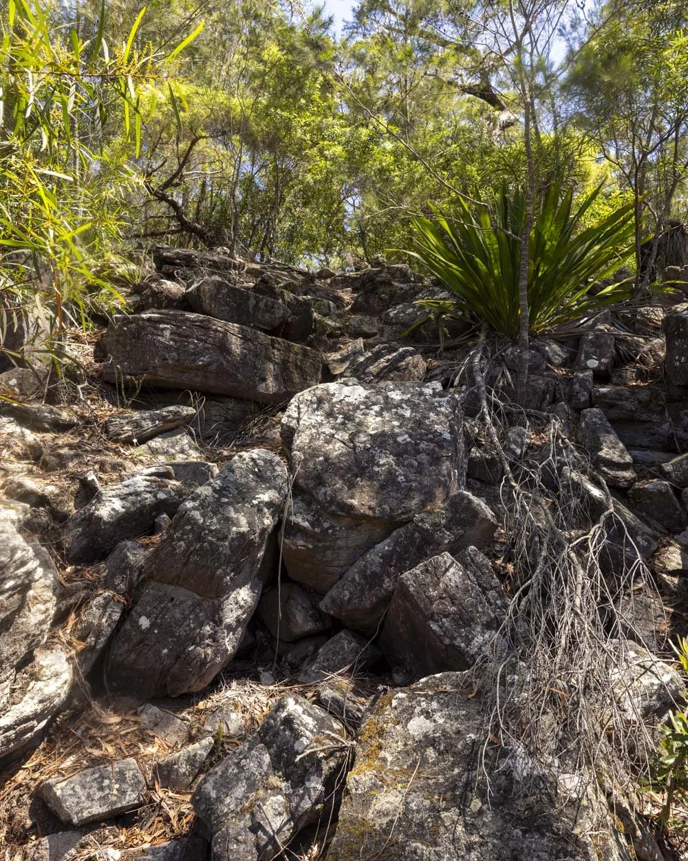
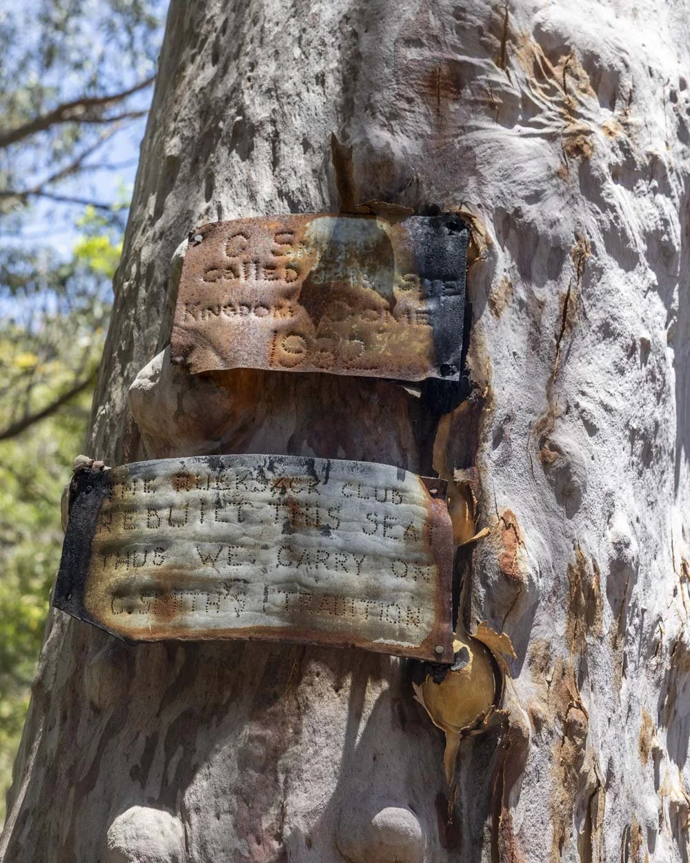
After 50m on a dirt track you will come to a rocky climb, which is a little bit of a scramble, but easy and very brief. Less than 100m later you will arrive at Kingdom Come Campsite marked by a plaque on the red gum tree, it says that the area was named Kingdom Come in 1932!
At the campsite you’ll find various supplies such as chairs, a table, tarp and even a football, though no flat ground on which to play!
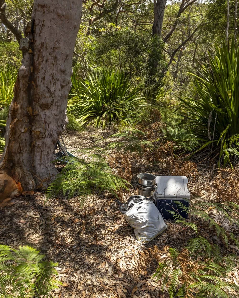
On first glance we mistook the supplies for rubbish and then were delighted to find that it’s actually a little makeshift campsite maintained by bushwalkers, please leave everything as you found it.
Such a sweet idea and not something we’ve come across before. The bush is lovely and dense around the site too giving it lots of shade and a nice enclosed feel.
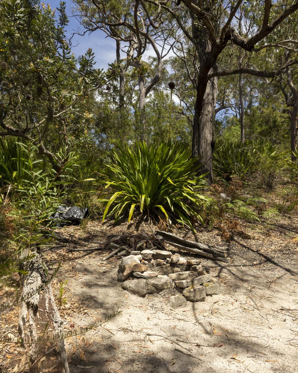
There are a couple of paths leading off from the campsite and down to the water, but I preferred the initial entry point described above.
Finding Old Todd’s Hut
If you’re feeling adventurous you can go in search of Old Todd’s Hut. Little remains of the hut but it’s a fun little find. Take the path on the left which leads from the campsite to the water’s edge (50m) and then follow the rock platform left.
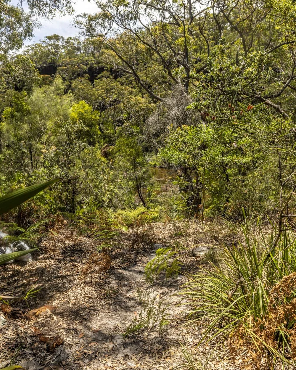
It’s easiest to stick to the riverbank at first as you need to cross the creek and the creek crossing along the main causeway has a layer of mud on it making it quite slippery. It’s easier with shoes as I discovered after going barefoot on the way and nearly slipping. You’ll still need to cross the creek even if you stick to the riverbank, but it’s only a few steps across.
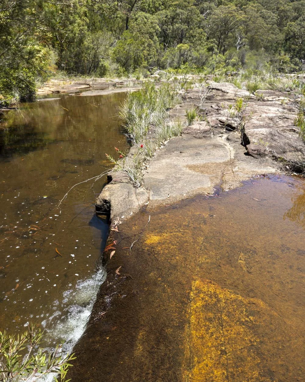
Once you’ve made the little creek crossing, follow the rock platform for 100m until you come to some large fallen rocks (you can see them in the photo below). You need to walk around them and then scramble directly up the hillside.
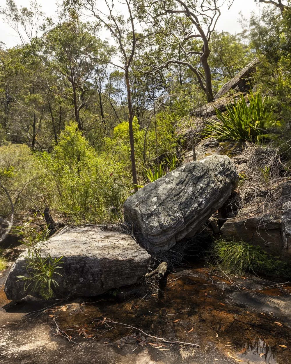
It’s worth putting the co-ordinates for the hut in Google maps at this point to help you know the area to aim for. They are: -34.0975733, 150.9634101 (it is a very enclosed area, so this may not be precise to the millimetre, but should get you within visible distance of the hut).
There’s no trail, it’s steep and covered in leaf litter (which can make it slippery) so this side trip won’t be for everyone.
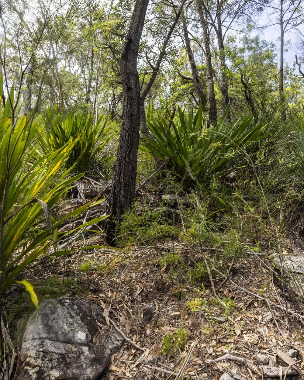
The hut can be found between a rock ledge and some large boulders.
When scrambling, look for a section of huge rock (which may sound like a vague instruction, but there’s a lot of non-rocky bush in this area).
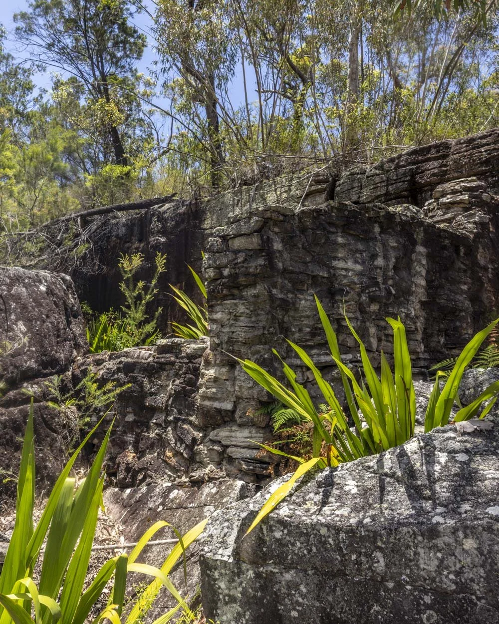
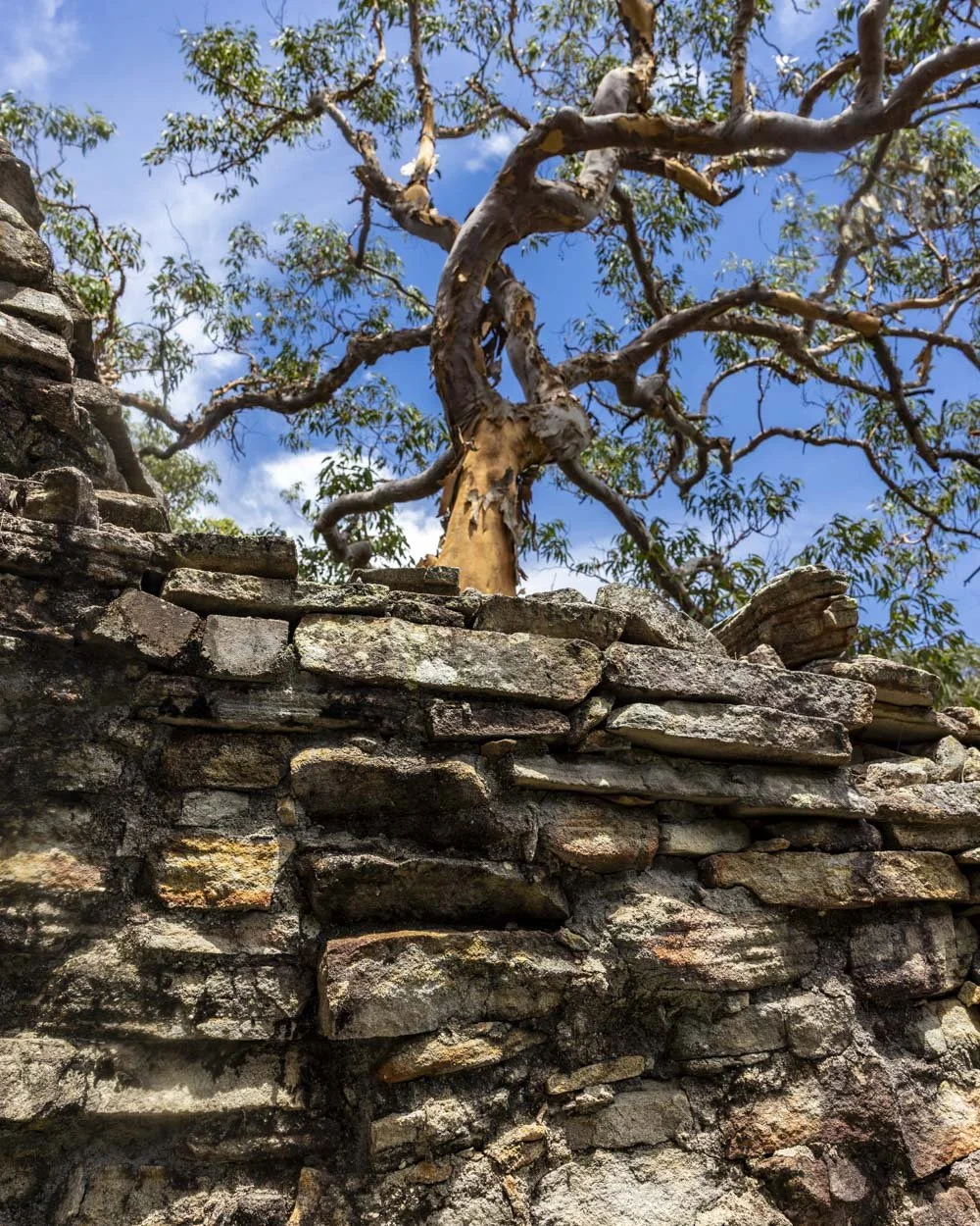
The hut is now a ruin, but you can still see some of the old stone work, as well as old pots and pans and the fireplace.
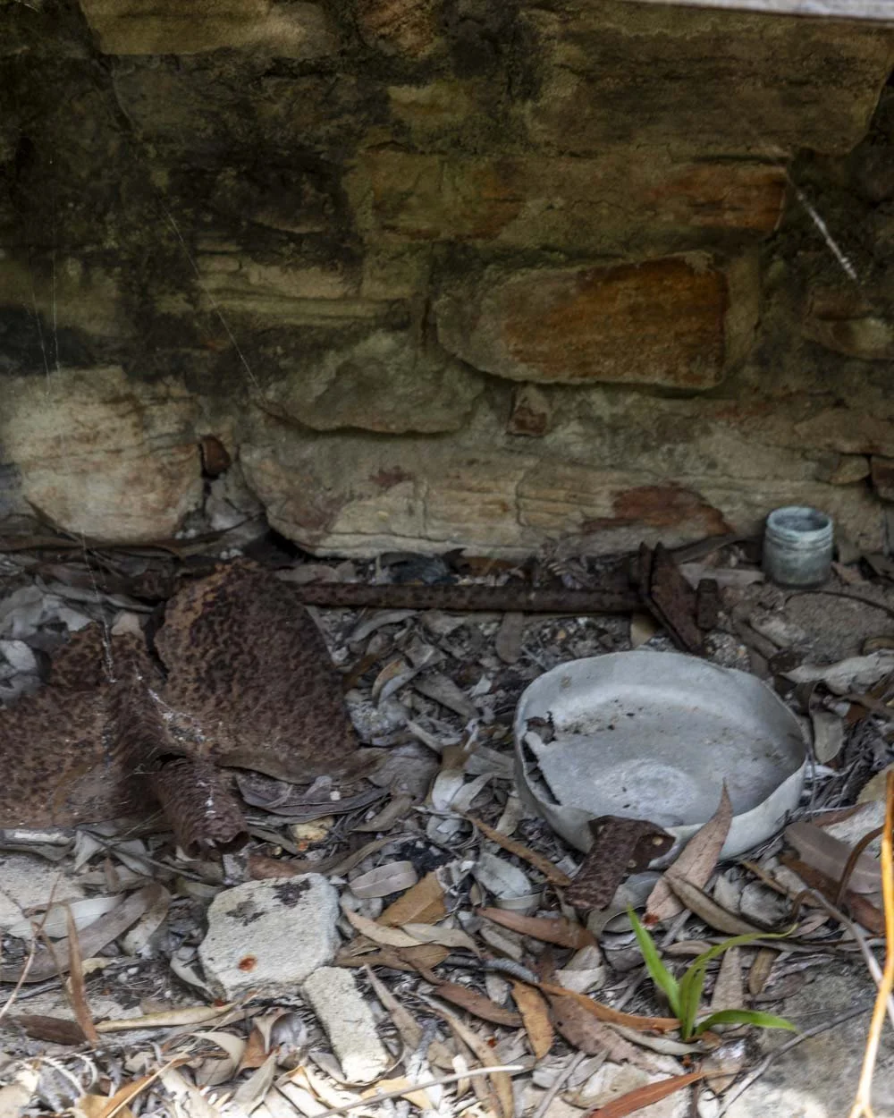
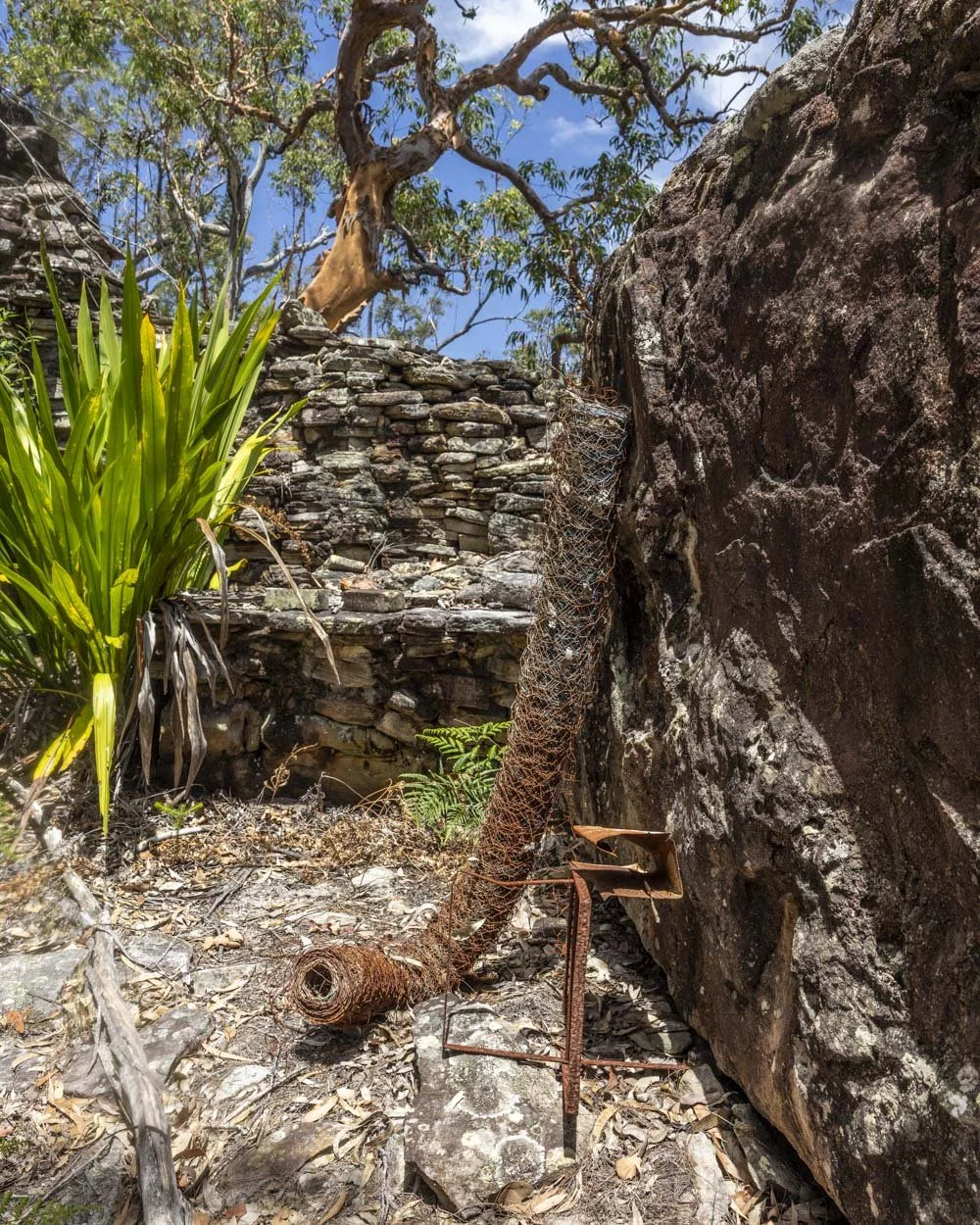
We don’t know much about old Todd, except that he was a bushwalker and must have enjoyed spending time in solitude as the hut is well hidden!
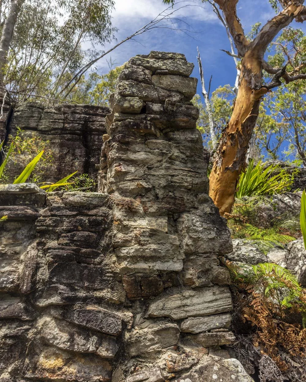
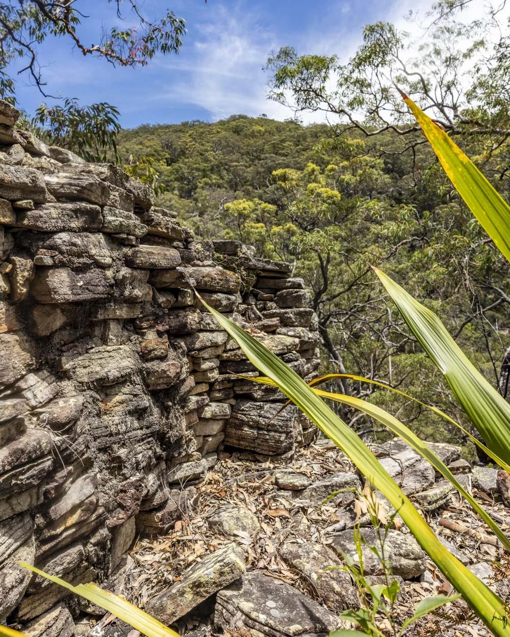
It’s a cool little bit of bushwalking history and as with the campsite, please leave it exactly as you found it so it remains to be discovered by the next generation of bushwalkers.
When you’re ready to leave the hut you retrace your steps back to the parking area. The majority of the trail is uphill on the way back, though some of it is at a very shallow gradient.
Parking for the Boobera Track
Parking at the start point we used is limited to around three cars, as you cannot block the fire trail. In the unlikely event you arrive to find the spaces taken you would have to begin at Heathcote instead.
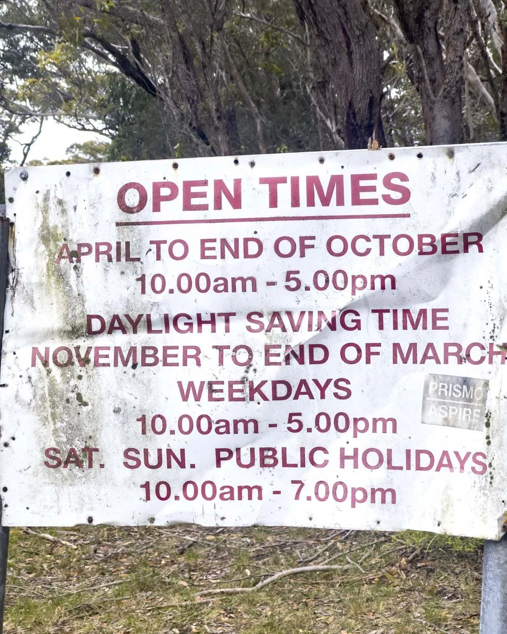
The parking area is just off Woronora Road in the lay-by before the gate in front of the fire trail, you can see it on Google maps here. The area is close to the Woronora Dam and as such has opening hours, these can be seen in the photo below.
There are no facilities here, but there are toilets a little further up the road at the dam picnic area.
This post may contain affiliate links, meaning at no additional cost to you, that we will earn a small commission if you click through and decide to make a purchase. This helps towards the costs of running our website. Thanks for your support.


This circular route around Holy Island (Lindisfarne) is one of the best easy walks in Northumberland. It takes in a photogenic castle, old priory, quiet beaches and endless sea views. We’re sharing directions, trail conditions and where to park.