
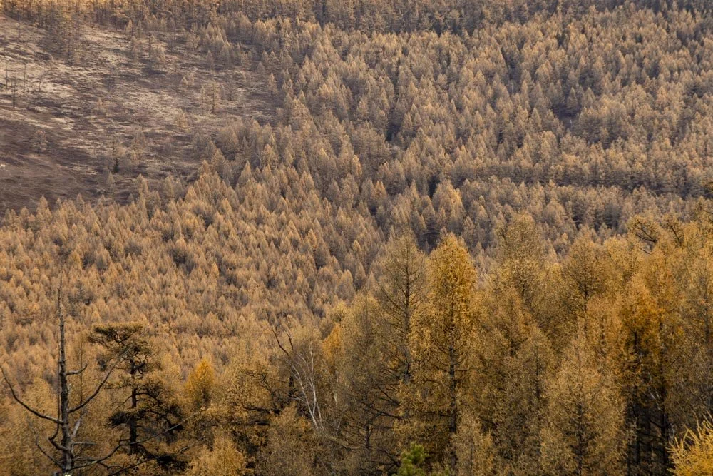
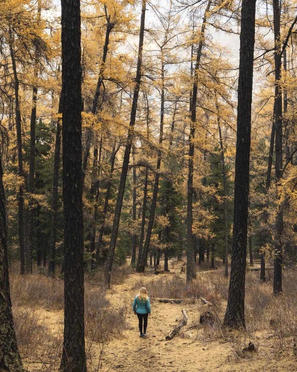
Exploring the city of Ulaanbaatar for a few days was good fun, but by day three we were keen for a bit of a nature fix. You can see the mountains of Bogd Khan Uul from the city centre making them the perfect option for an easy access hike from the city. A myriad of paths snake up the mountain through forests of larches which are extra beautiful if you’re lucky enough to do this hike in autumn.
I’ve heard the trails can get busy on the weekends, but for us on a weekday we barely saw another soul. All we heard were the trickling cascades, abundant birdsong and the odd bellow from the resident stags, making for a truly peaceful escape from the city.
Information about the hike in English was pretty limited, so though I am fairly certain very few foreigners ever visit this national park, here are all the details for anyone considering it!
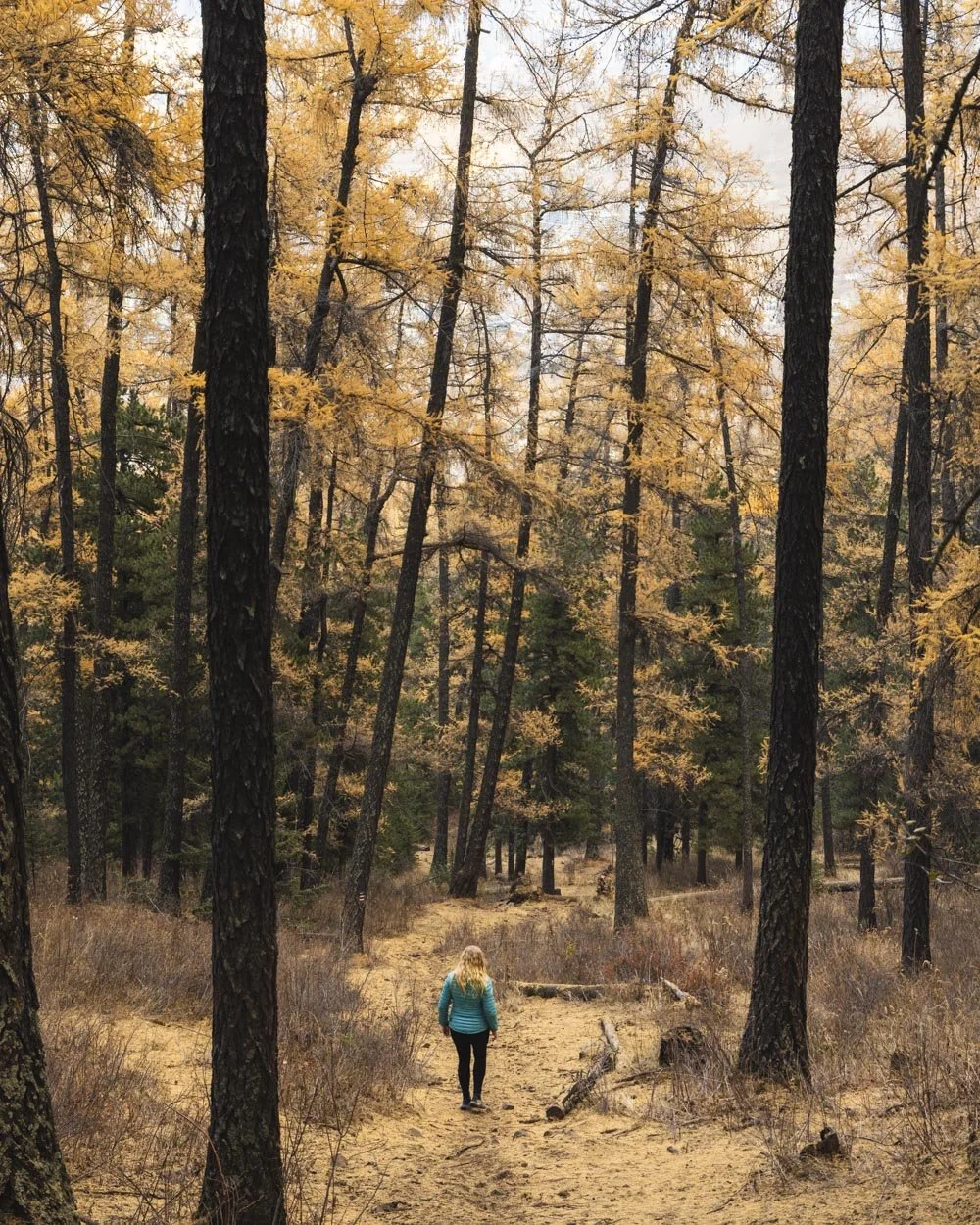
The Bogd Khan Mountain hike
The stats
Distance: 10.4km circuit
Elevation gain: 610m
Difficulty: Moderate
Trailhead: Bogd Khan Trailhead, Ulaanbaatar
Summary: Numerous paths will lead you to the top of Bogd Khan Mountain and in this guide we will be covering two. The path up (the blue track) is well signposted and easy to follow, some of the signs are even in English.
The path we used to descend (the red track) is marked with splashes of paint and no signs have written directions or distance markers. There are a couple of points you could potentially go wrong, but we have included exactly where these are in the trail notes below.
In terms of difficulty and terrain, most of the first 4.6km to Forest Gap is uphill. It’s steepish at times and a bit of a grind, but not super steep or tricky in terms of terrain.
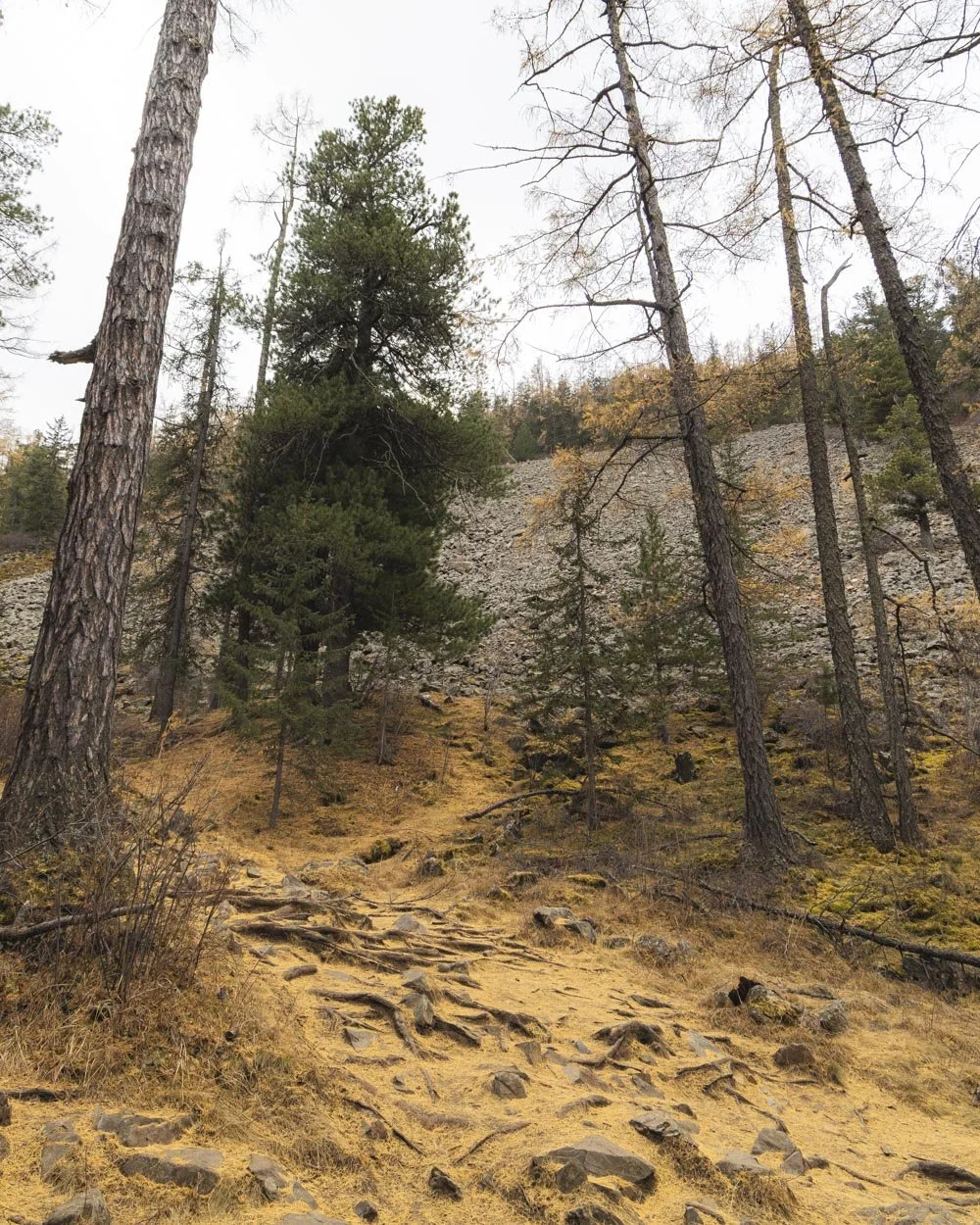
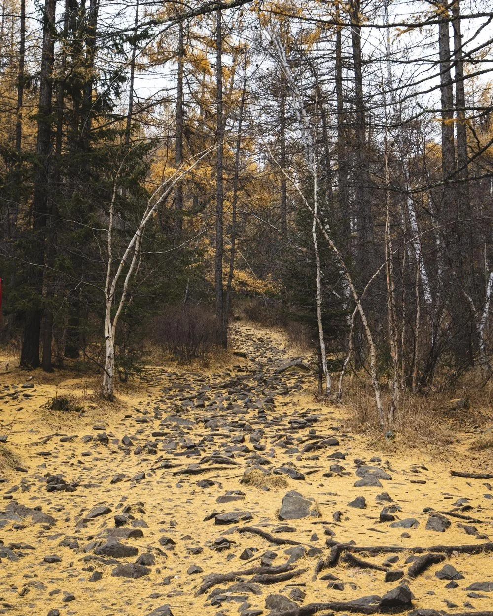
At times the path is a smooth dirt track and at others, rocky and tree rooty, but the gradient on these bits is gentle, so it’s very much a walk, not a scramble.
There is one very minor section of steeper terrain just as you near the top where you are walking up a bit of rock, but again, it’s not a scramble, just steeper and not on a formed track. The descent is on good dirt paths at a gentle gradient for a significant amount of the time.
There are a few sections as you get closer to the bottom where the track steepens and there is some loose soil. However, I was ok with it and I hate loose slippery terrain, so I think most people will find it to be nothing of note.
Where to start the trail
You can get to the trailhead by bus or by taxi (best done using the UB cabs app which is very affordable). They will both drop you in roughly the same place so there’s no one option better than the other, it’s just a case of preference.
The journey from the centre of Ulaanbaatar can take as little as 30 minutes, but if the traffic is bad as it was for us, it can be as much as 1.5 hours. Luckily on our way back it was only half an hour though!
The place to get dropped off at is Bogd Khan Trailhead and the bus stop is БОГДХАН АМРАЛТ (you can see it on Google Maps by clicking here.
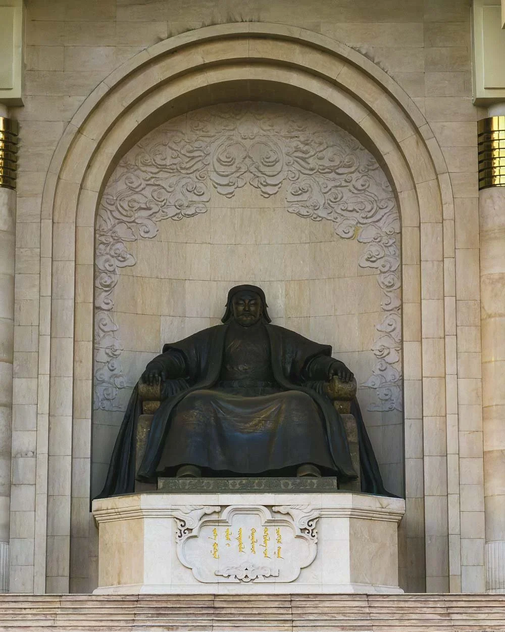
From here to reach the trailhead you’ll need to walk for a few hundred metres along a paved shared use path to the national park entry gates. We got dropped off in slightly the wrong place but even then we only had to walk for 600m to the gates (it’s right by the Hubble Space Coffee shop).
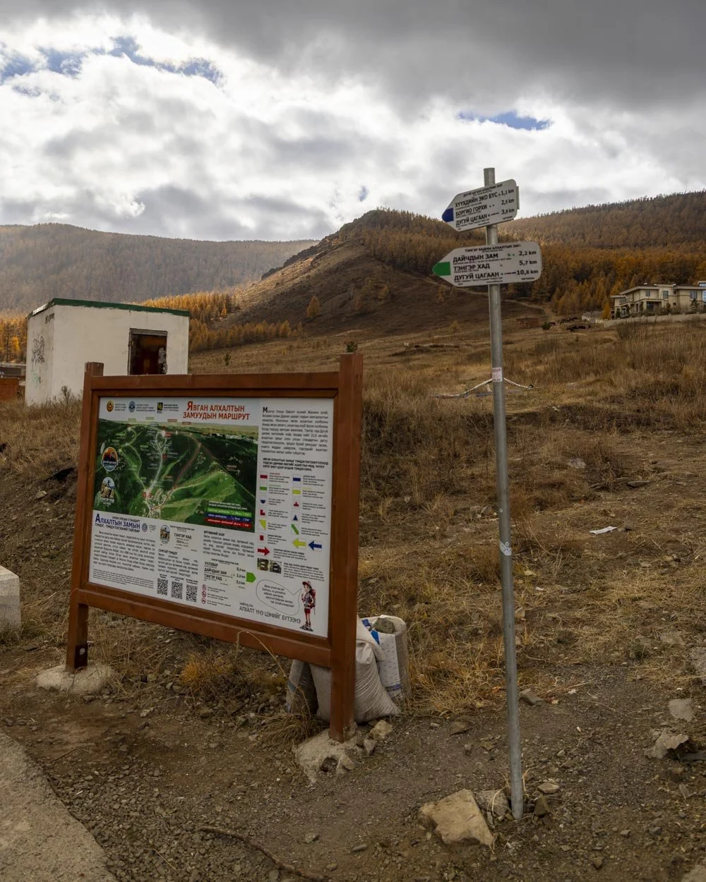
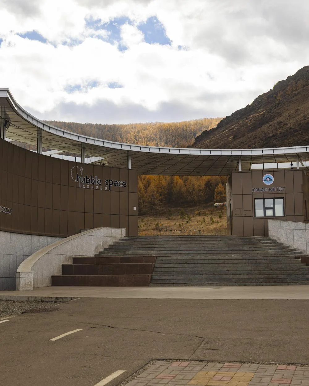
There is supposed to be a national park entry fee but when we tried to pay we were told it was free. Not sure if this was an exception or whether they’ve decided to make it free now! It’s best to carry a small amount of cash with you just incase that changes.
Starting the trail: Ascending on the blue track
From the entry gates you will begin the walk on a cobblestone path which gives way to a dirt track a few hundred metres later, the blue track is signposted.
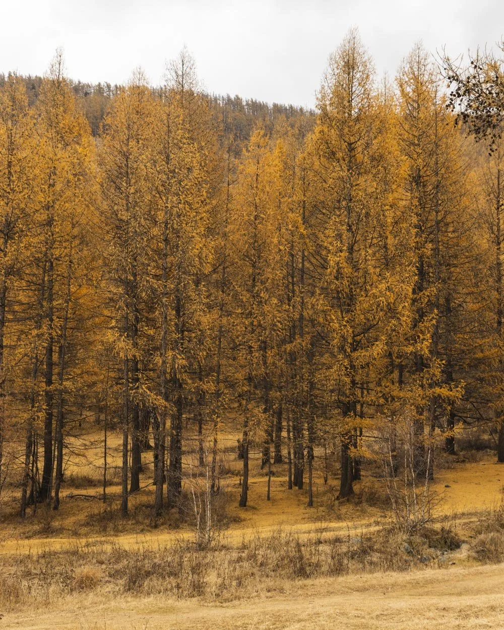
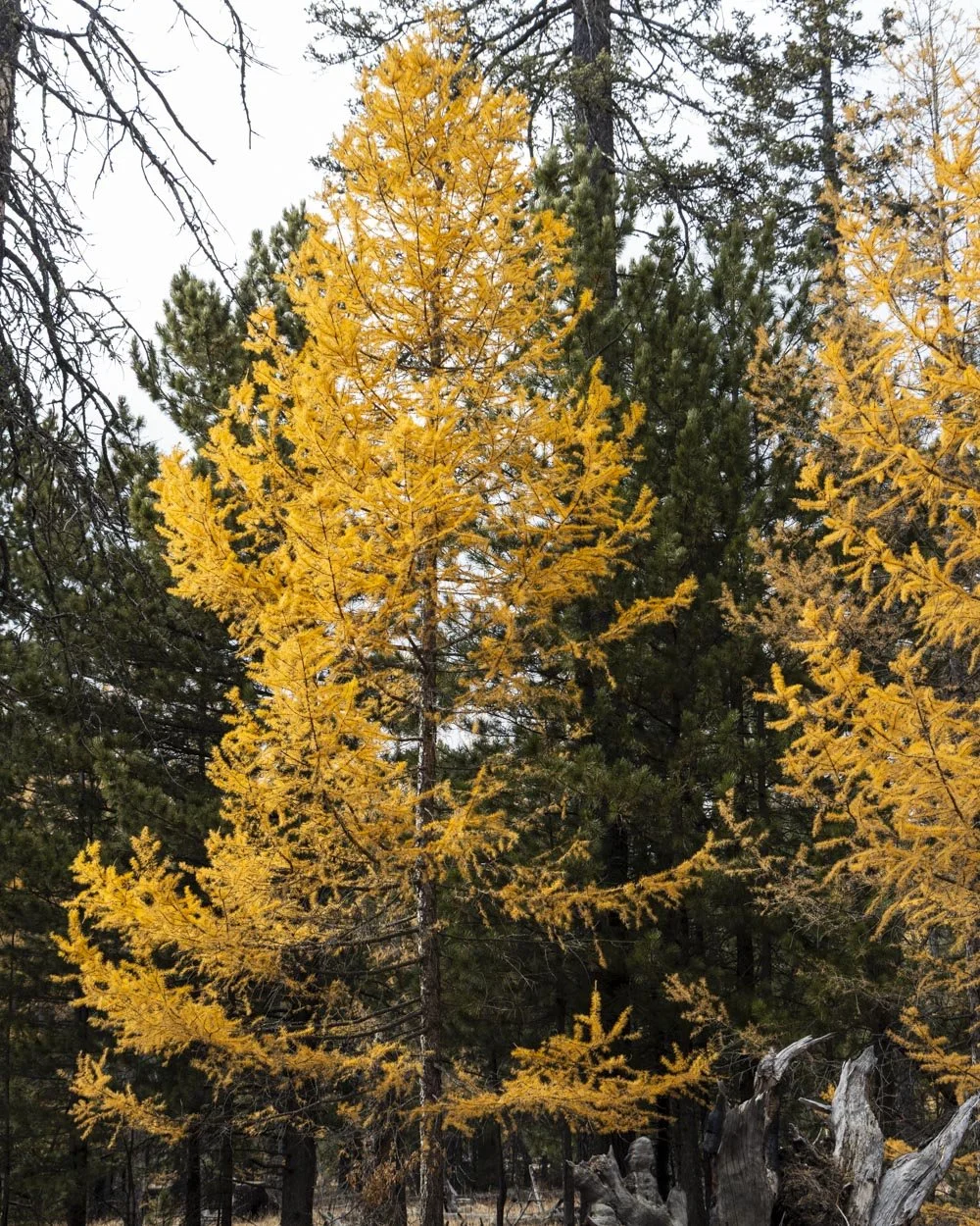
The larches were gorgeous along this first stretch and as we were walking a little after the peak foliage, they were the best of the whole walk as higher up the mountain a lot of leaves had already dropped.
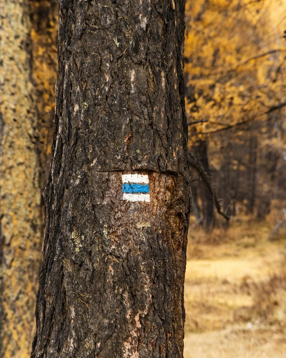
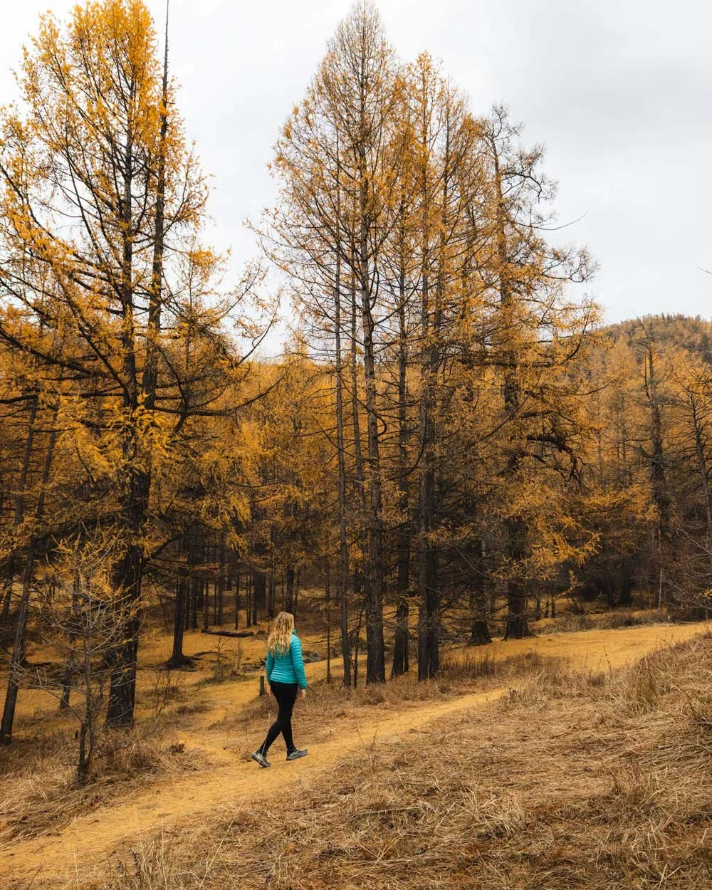
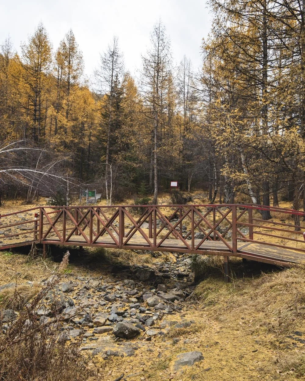
You’re heading uphill from the off but it’s not steep. Around 500m in you will pass over a small bridge and then a second pretty red one around 150m later. You cross the red bridge to keep following the signs for the blue track.
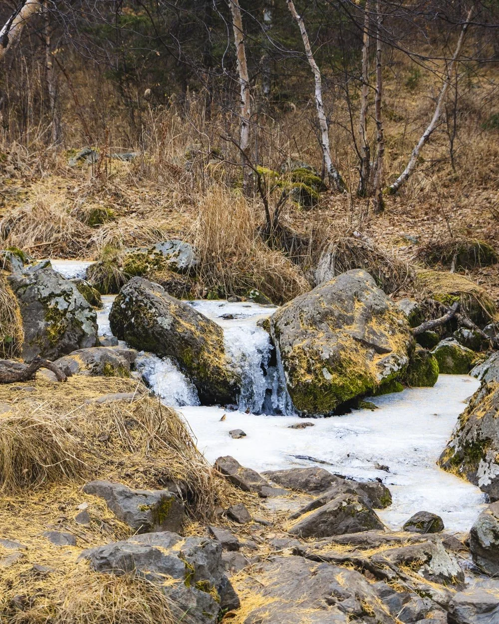
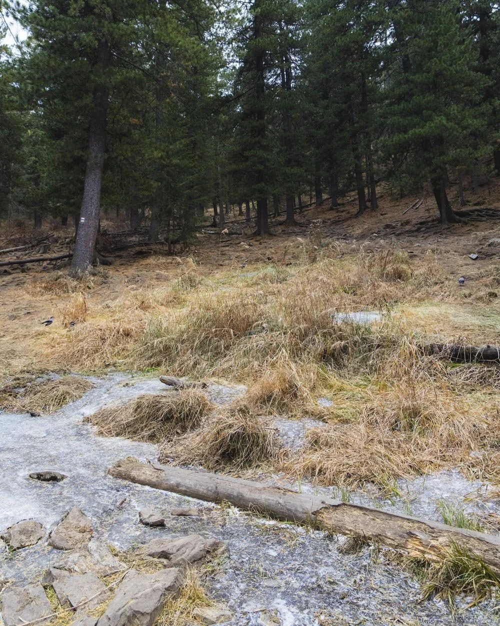
From here the path gets rocky and you will begin following a small stream. For us much of it had frozen which added an extra touch of beauty as some sizeable icicles had formed.
If you’re walking at a similar time of year (mid October) you’ll probably find some large icy patches along the trail, but there was always room to skirt around the ice so it wasn’t slippery.
To the rest stops
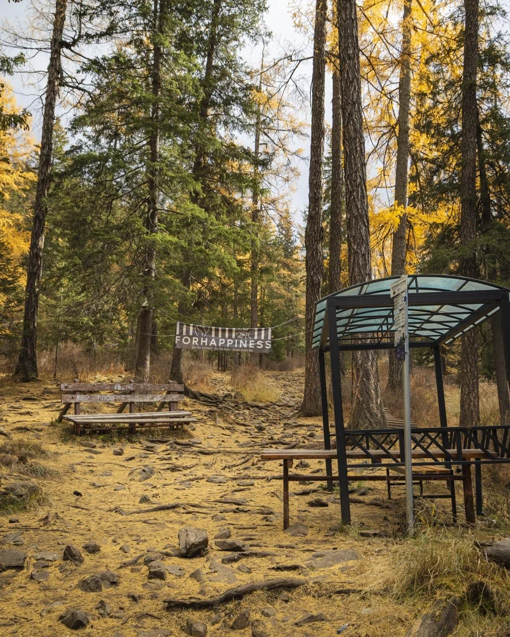
The path will get slightly steeper just before you reach the forest bar, a little over 1.5km from the entry gate. I am guessing it’s only open in summer and while normally I prefer places to be left wild, it was quite cute, with some rustic wooden seating and bird boxes.
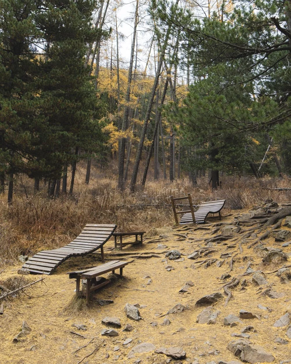
From here the path climbs steadily passing three signposted rest stops. The first actually wasn’t marked but there were a few seats 450m past the forest bar. I say seats but there were actually shaped like sun loungers which seemed quite hilarious in the forest, but there were only a couple so it felt quirky rather than too much.
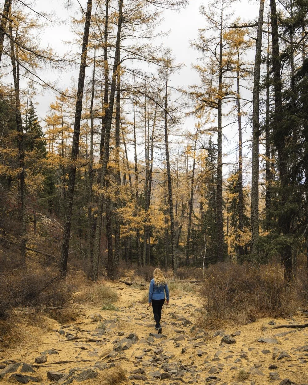
Roughly 100m later you’ll come to ‘Rock Rest’ which is exactly as it says on the tin, followed by ‘Stream Rest stop’ 500m later. This has more of the lounger chairs right beside what was for us, a frozen stream, but might be a nice little spot to paddle your feet in summer.
The walk between the two rest stops is uphill on a wide dirt path. This section had lots of woodpeckers and nut crackers on our visit which was really cool to see (and hear!).
We also heard bellowing stags though we didn’t know that’s what it was at the time. In fact, there were so many amazing nature sounds we couldn’t identify which really added to the walk for us.
The Stream Rest Stop is where the larches begin to thin out until you get to the Forest Gap. There are a few around but most of the forest is now pine. The final marked rest stop is the ‘Peace Rest Stop’ and this one is around 750m above ‘Stream Rest Stop’.
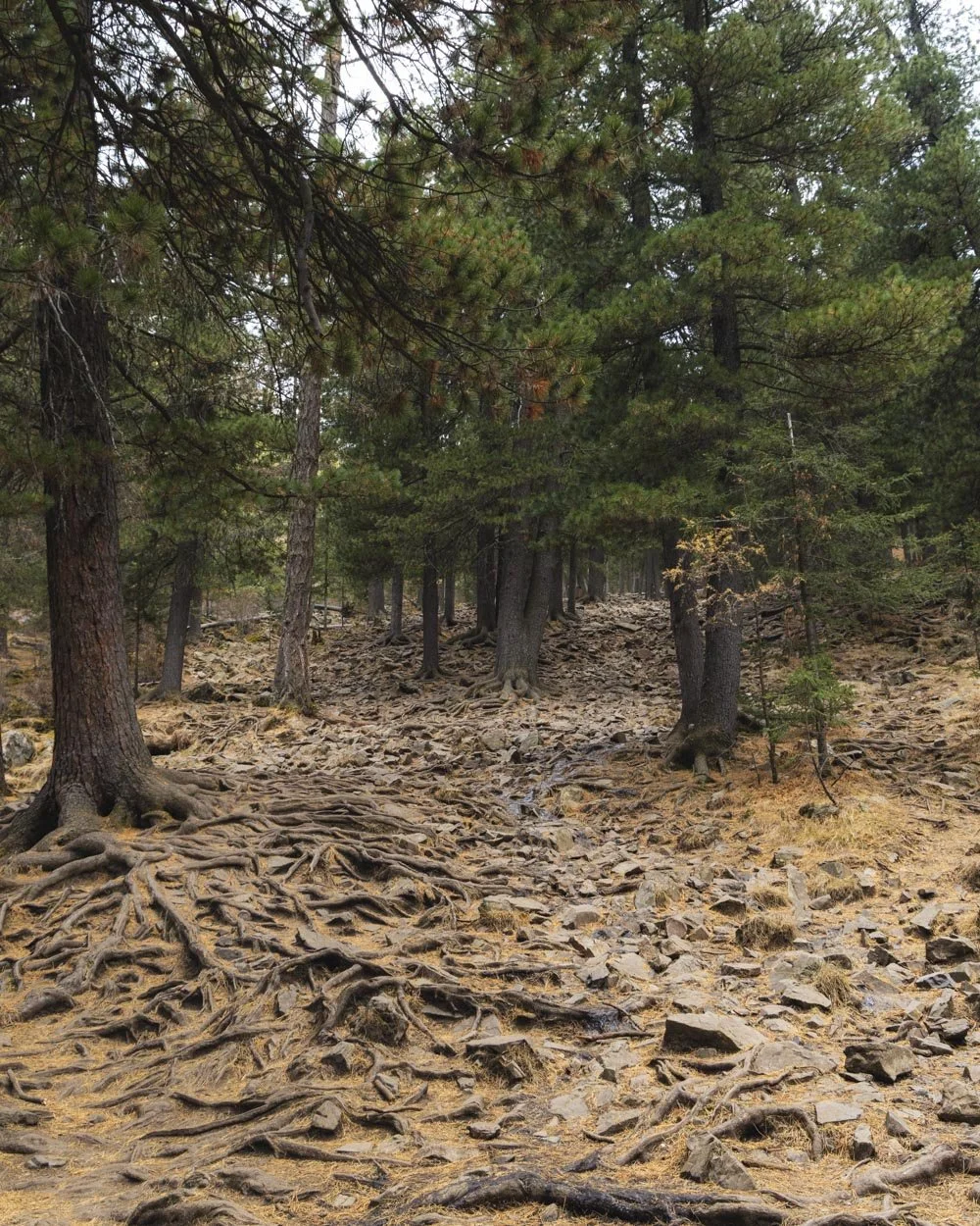
Much of this section is rocky and tree rooty but you’re not scrambling up them, more walking between them, so you need to watch your footing but it’s not difficult in any way.
It’s a bit steeper though, so we were glad to reach the rest stop and know that there wasn’t too much more climbing ahead.
To Forest Gap and the peak
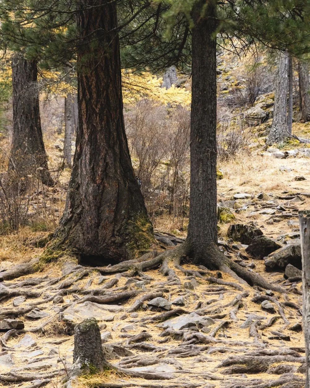
Peace Rest Stop has a few chairs but you probably won’t stop because there’s only another 300m more climbing on a gentler gradient before the track flattens. You’ll then head between the towering pine trees and a few more larches for 350 leisurely metres to reach Forest Gap.
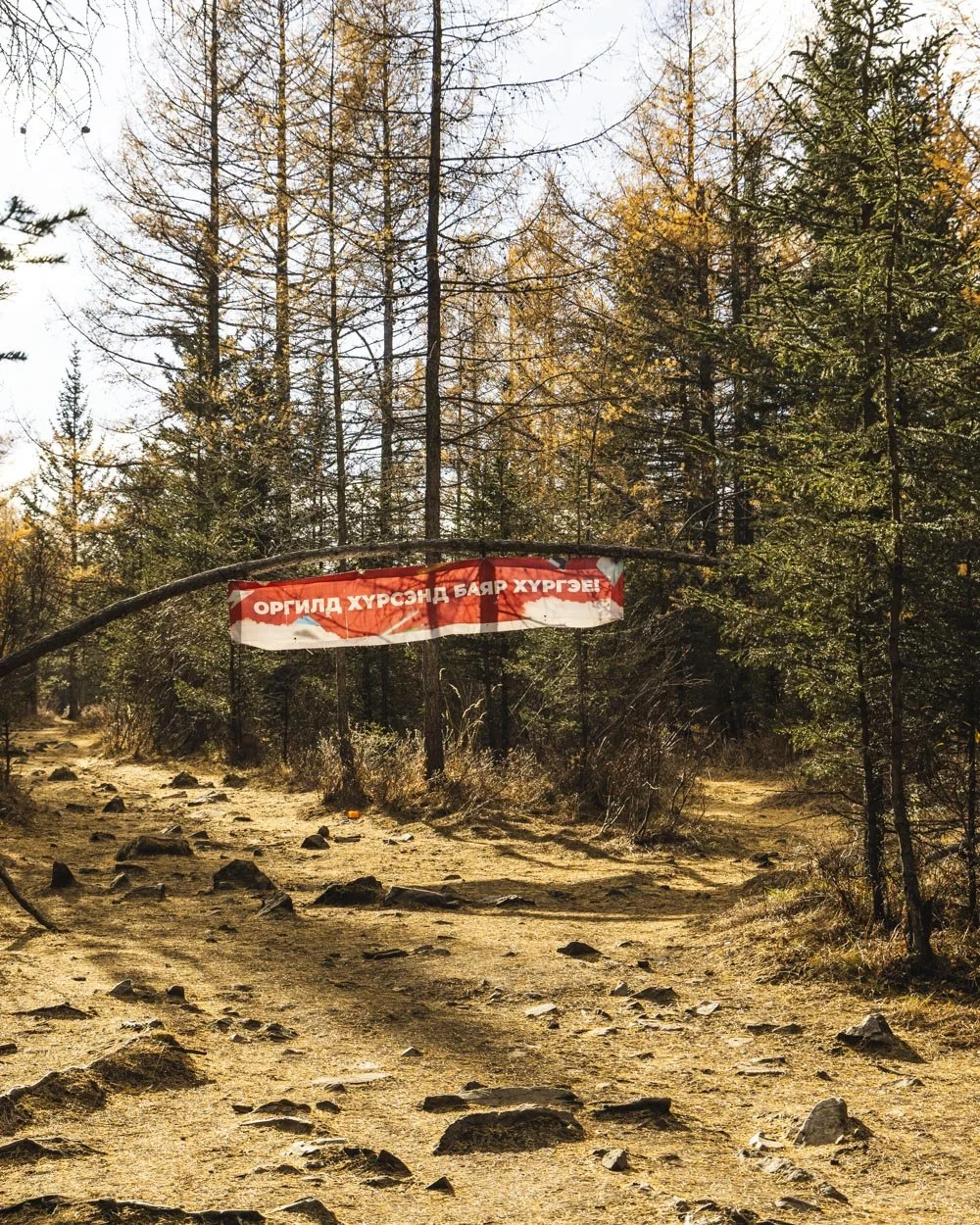
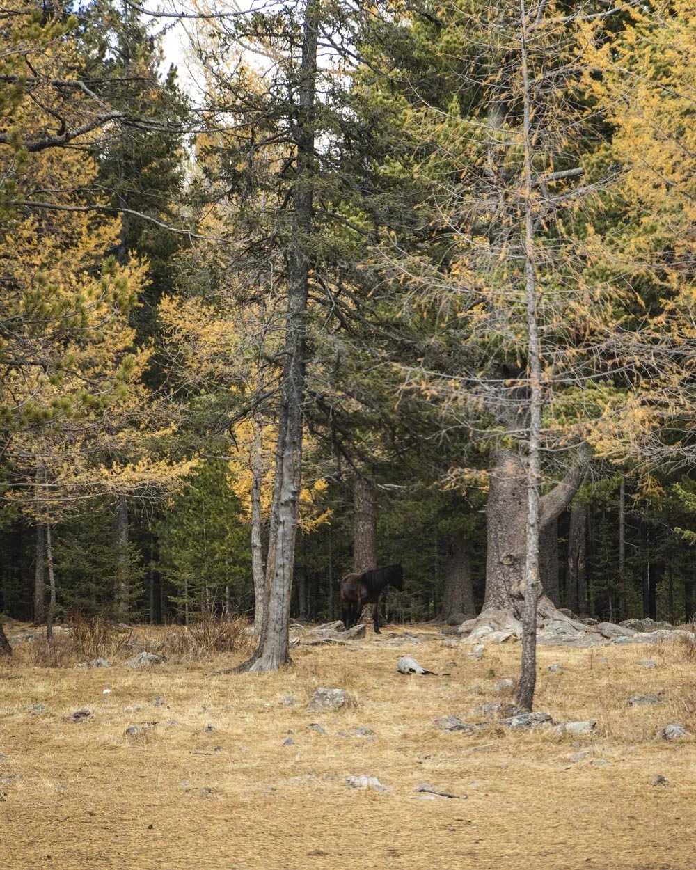
We were lucky enough to see ponies wandering the forest here. I am sure they aren’t wild but as they weren’t with any people it felt like they were!
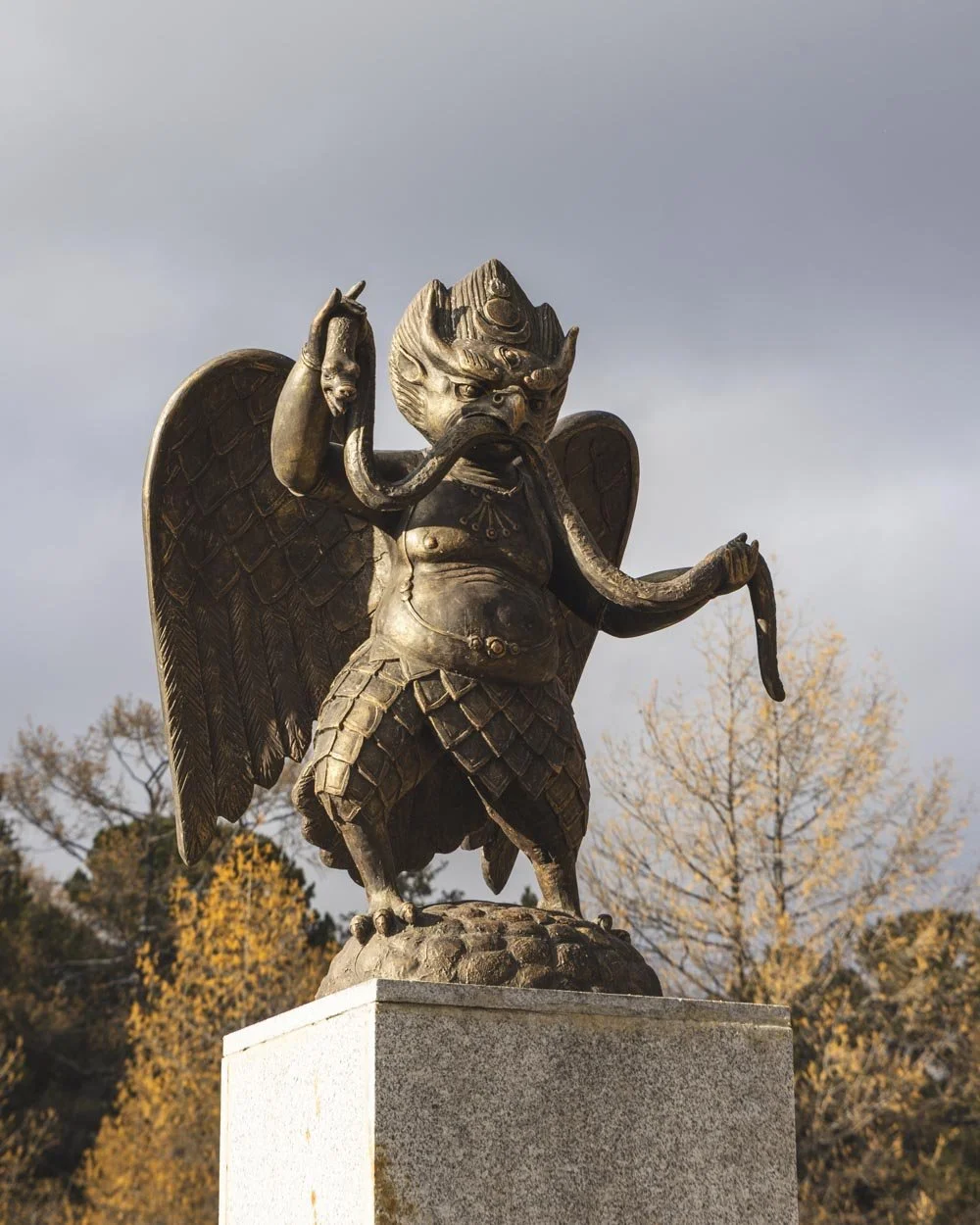
Forest Gap is just that, a clearing in the forest with some picnic benches and a little statue of what looked to us like a garuda (a creature from Hindu mythology).
We’ve since read online that it is a Khangarid - a giant bird in the Mongolian Buddhist tradition - which guards the mountain. We don’t know how accurate that is, but it sounds plausible!
It’s a nice spot and some people end the hike here, but it’s definitely worth continuing onto the red track for some good views and more beautiful forest.
To do this, from Forest Gap you will follow the red track, this is marked with paint, but there are no longer any distance markers. Our watch measured the red track distance to be 5km in total, from Forest Gap all the way to the end of the trail.
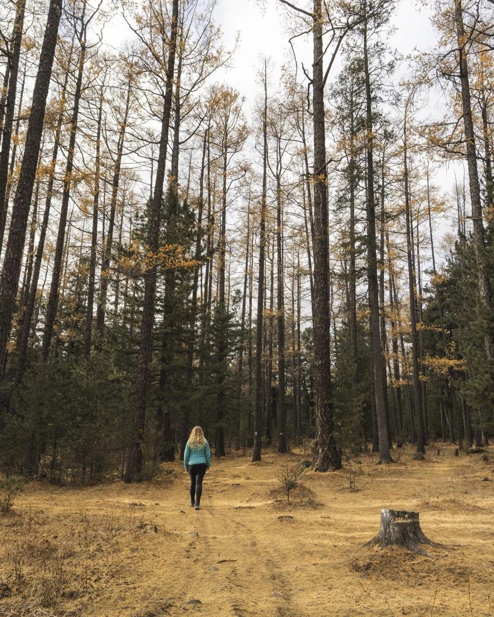
From the gap you’ll see the red track on the right, leading back through some dense forest on a smooth level path. This goes for about a kilometre which was a refreshing break from climbing and very scenic if you love forests as much as I do.
You will then reach the final climb of the track but it’s only very brief. It’s a bit rocky and steeper than anything up to this point, but it’s only 300m long and less than 50m of this was on the steep rock slope. There’s a little bit of soil on the rock which could make it a touch slippery, but as you’re going up rather than downhill, it’s fine.
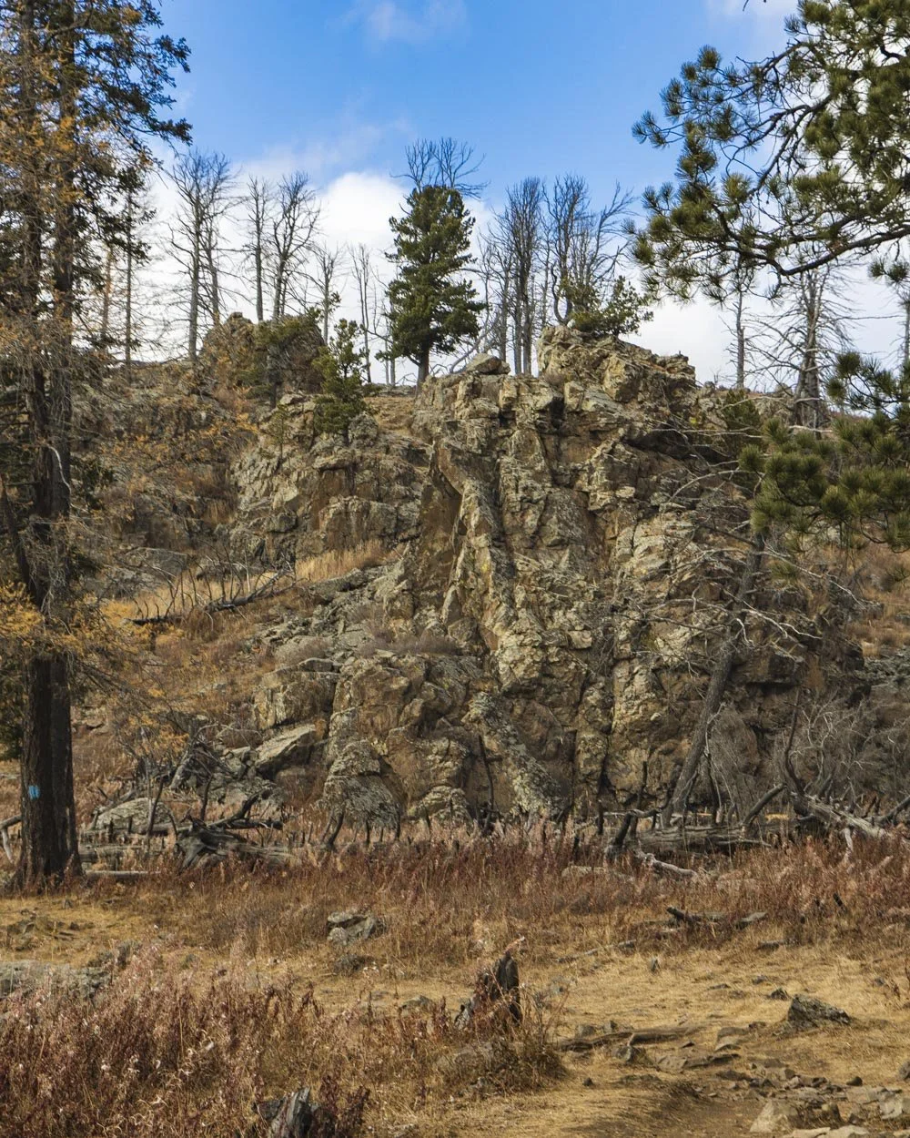
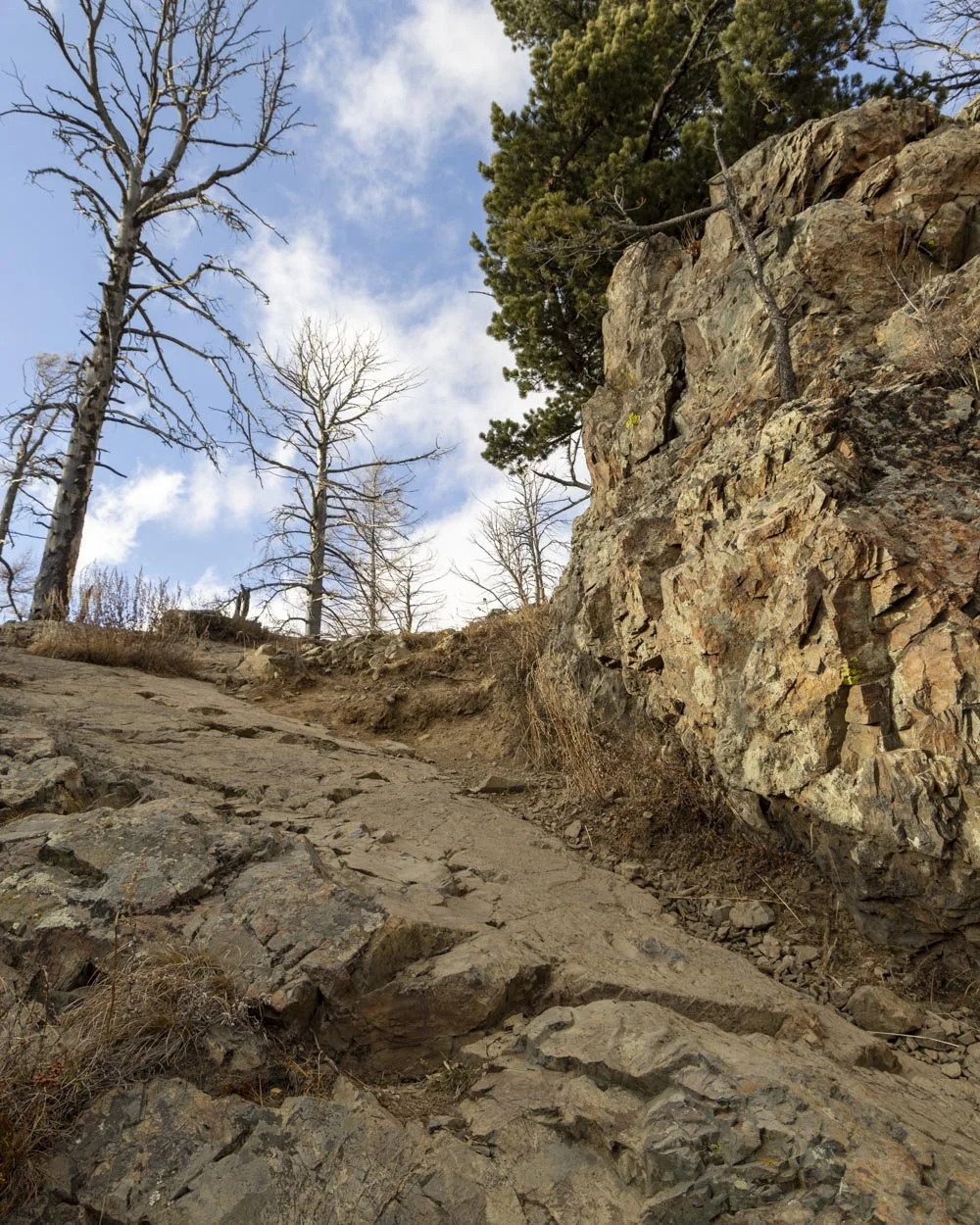
When you reach the top you don’t necessarily feel like you’ve reached a peak and dare I say I hadn’t realised we had and didn’t actually stop to look for a viewpoint. That’s because you come out at a flat plateau whereas I had been imagining that you reach an obvious viewpoint.
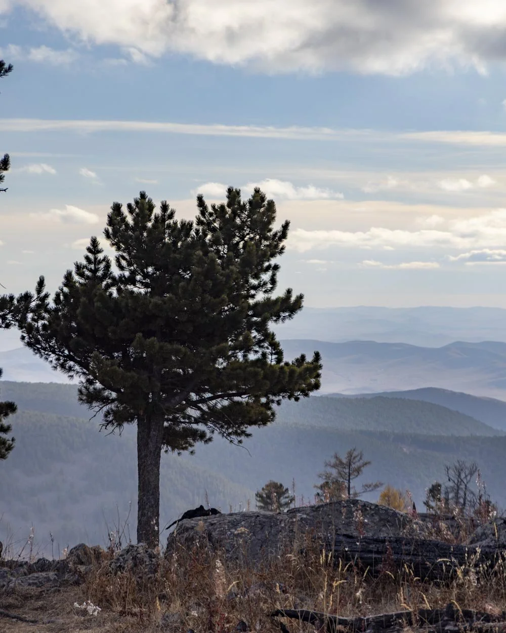
Therefore we don’t really have pictures of the views here as you would have to walk to the left or right of the main path to get some clear views. That’s probably worth doing before you begin descending!
From the top you have a brief section of forest and then a 150m stretch of open plateau which is where you probably want to scout out those views! After this point the descent begins.
The descent along the red track
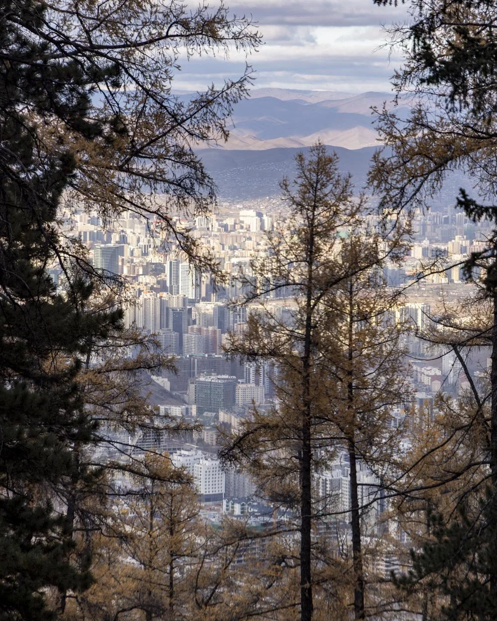
There’s a bit of an obscured view of the city just before you take the narrow track leading steeply downhill.
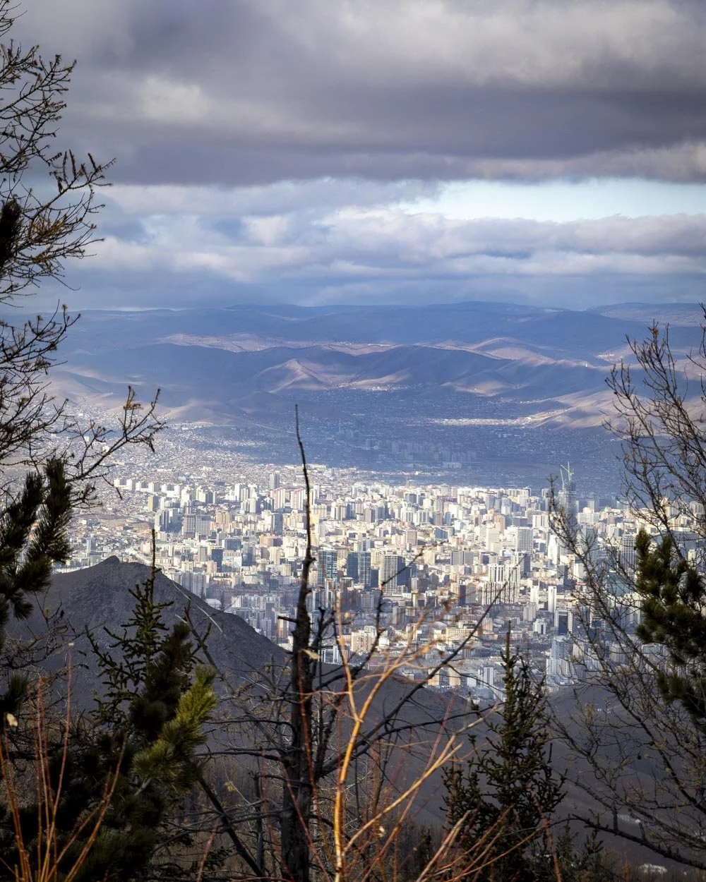
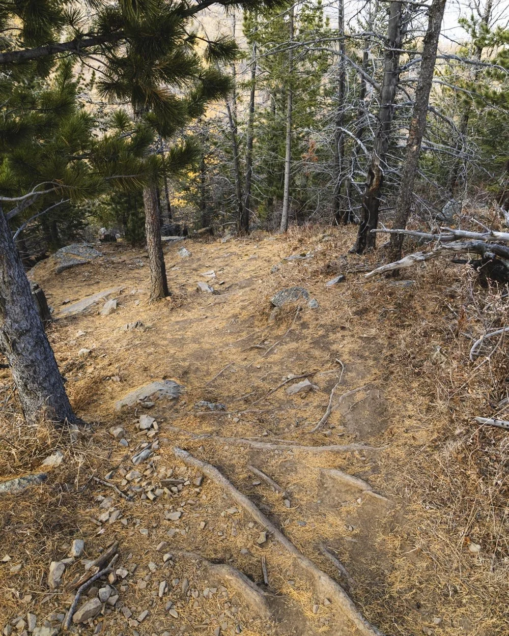
This first 250m is the steepest of the whole descent and the path has some loose soil in places. If the whole descent had been like this I would not have enjoyed it at all, but luckily the gradient gets much gentler after that. Some of that 250m is rocky too which is easier than the loose dirt.
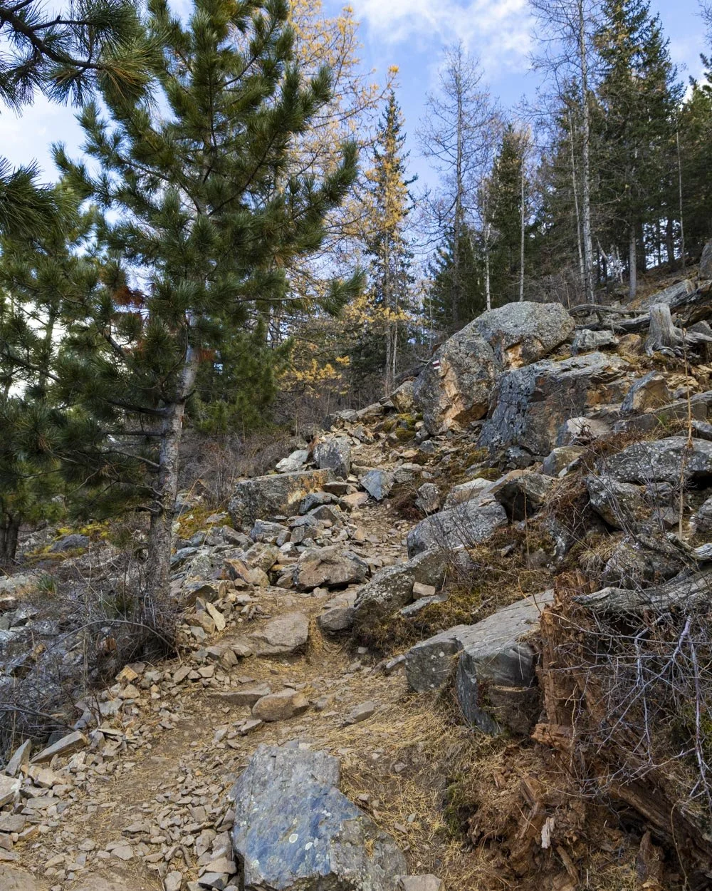
There were usually trees alongside the path so if you’re like me and not overly steady on your feet then you have something to hold onto for extra stability if needed.
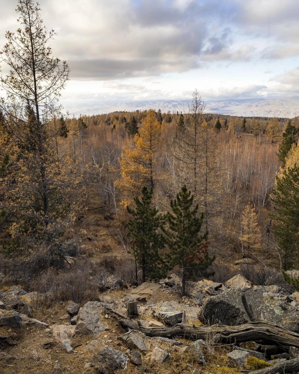
The views over larches and out to the city on this steeper section were really great which made it a bit more enjoyable. The path becomes relatively flat after the steep descent and you once again head through the forest.
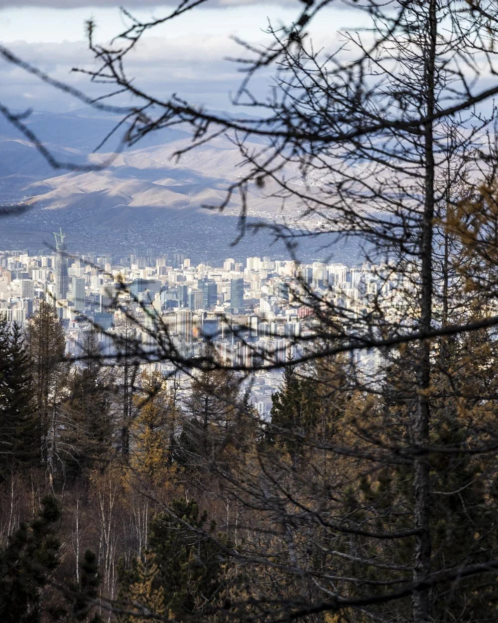
Approximately 1km from when you began the descent you need to take the path on the right, there is a trail marker here. The path is obvious and only briefly steeper before it slackens again.
I don’t know if it was because we were descending rather than ascending but I found the forest along the red track even more beautiful.
Maybe it’s because the paths were narrower so it felt more enclosed, but either way it was gorgeous and you will get to enjoy many more larches.
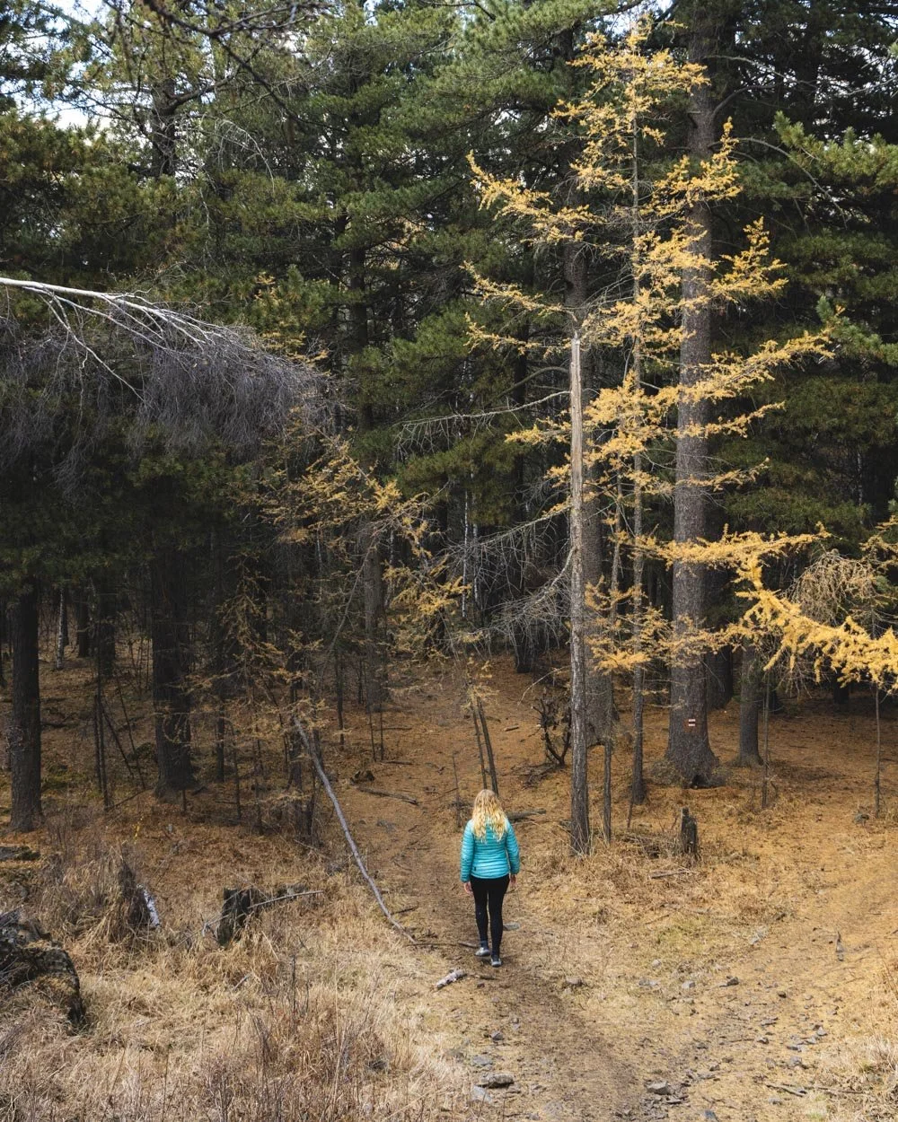
There are no rest stops or infrastructure on this track either so if you’re a purist you are going to prefer it.
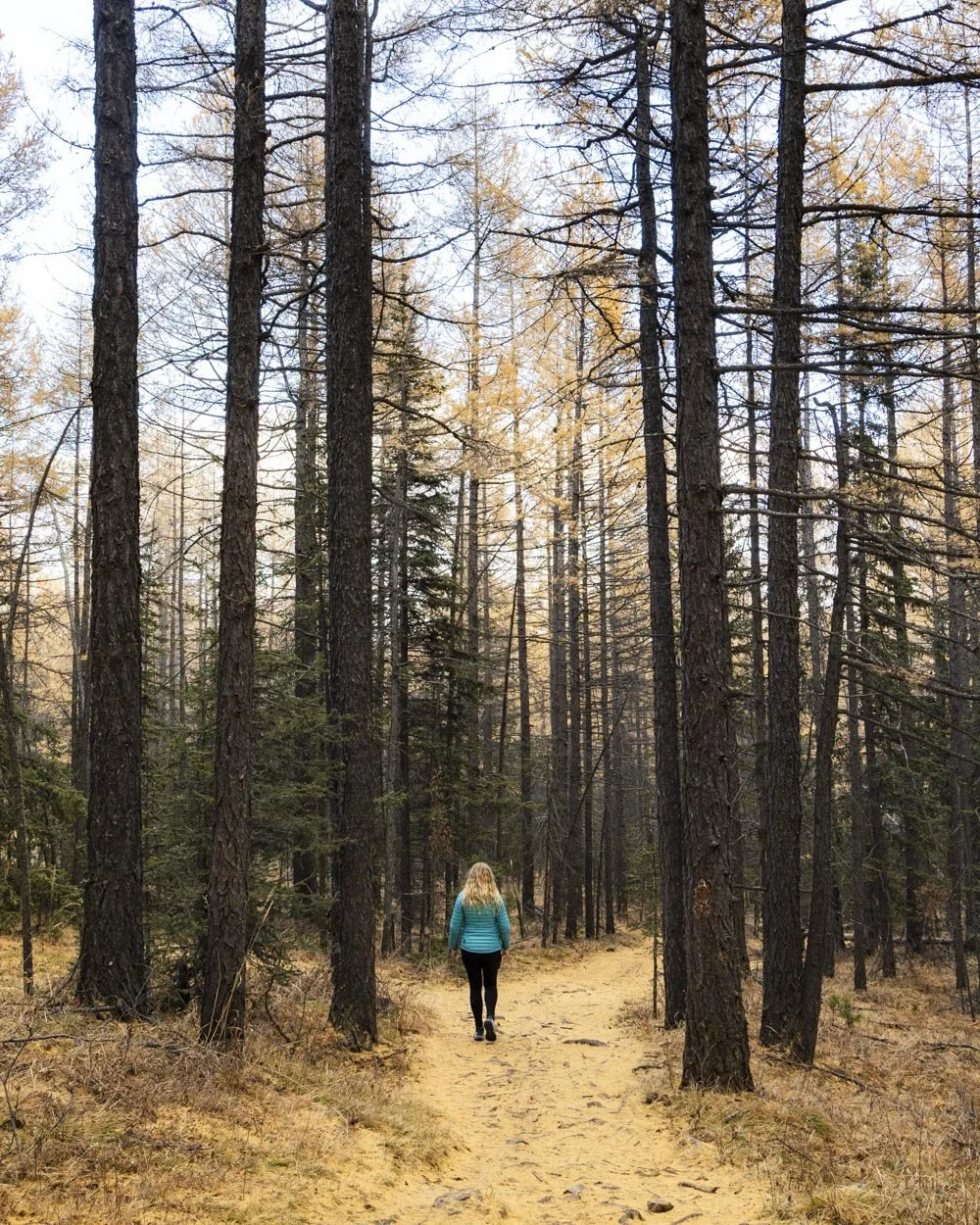
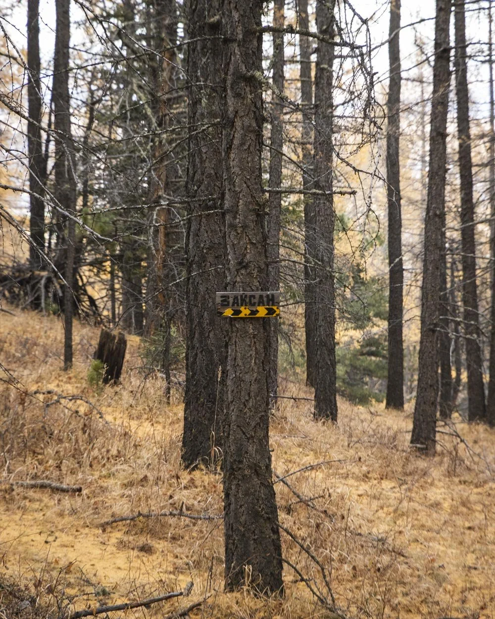
Roughly 400m after the right turn, at the yellow sign, you need to turn right again (1.4km from the start of the descent). The dirt path continues heading downhill through the pines and larches and it’s quite leisurely until around 1km later when you start to get some steeper sections.
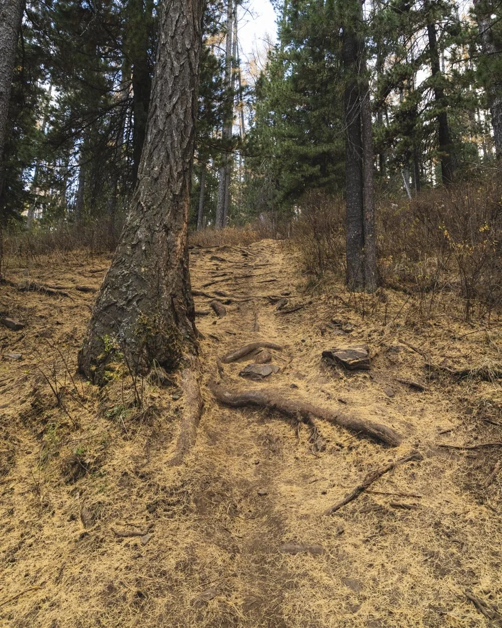
There is some loose soil here so it’s one of those sections that you may prefer semi running down, and as mentioned earlier, it’s not awful but definitely not my favourite part of the walk.
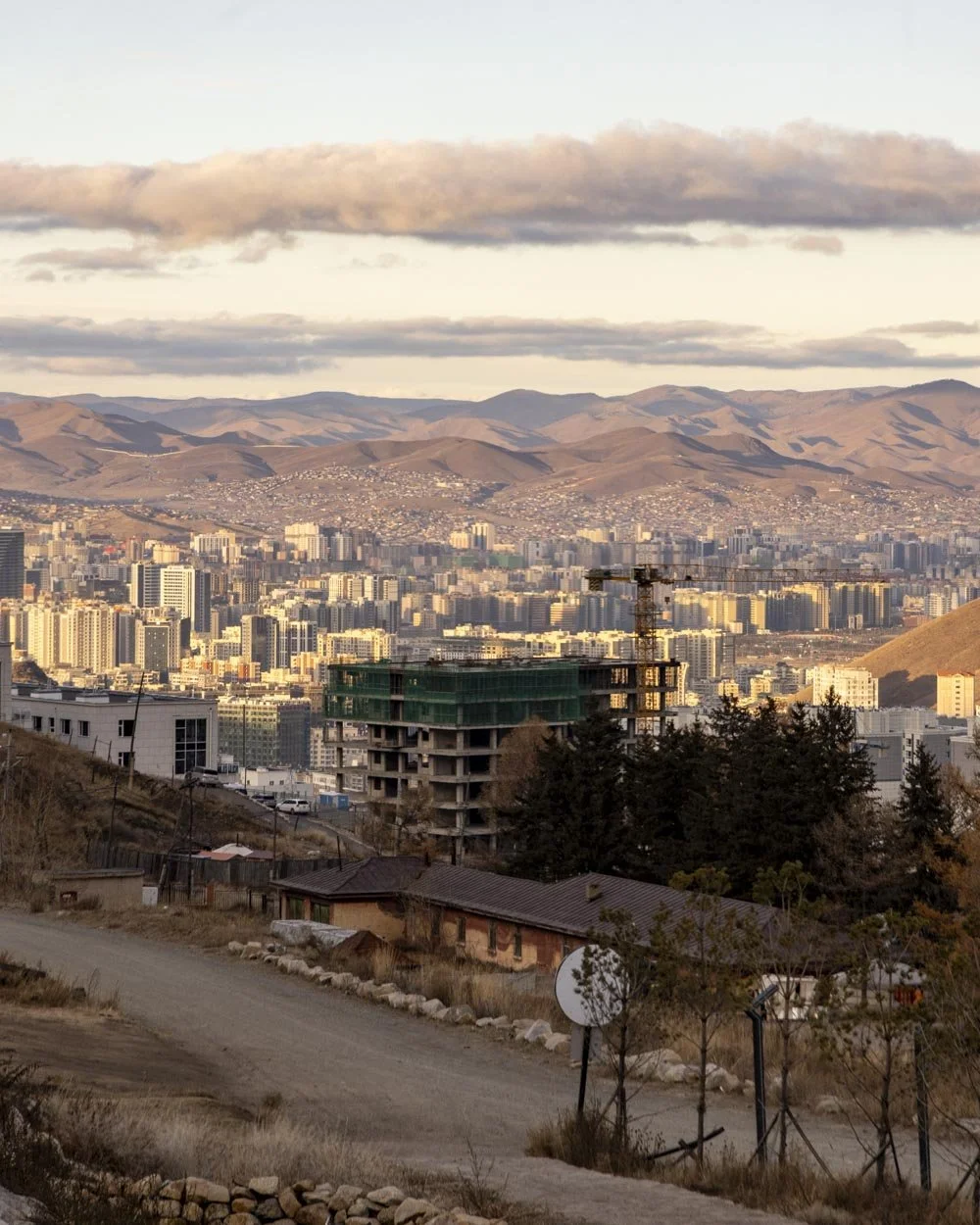
You’ll get some more good views of the city between the trees and it certainly looks more attractive from a distance than it does up close (sorry Ulaanbaatar).
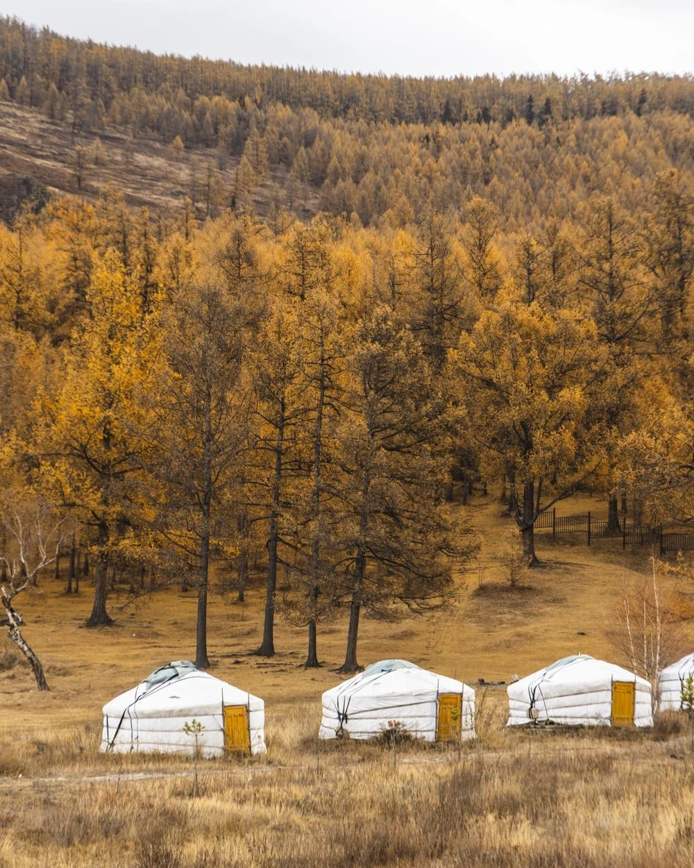
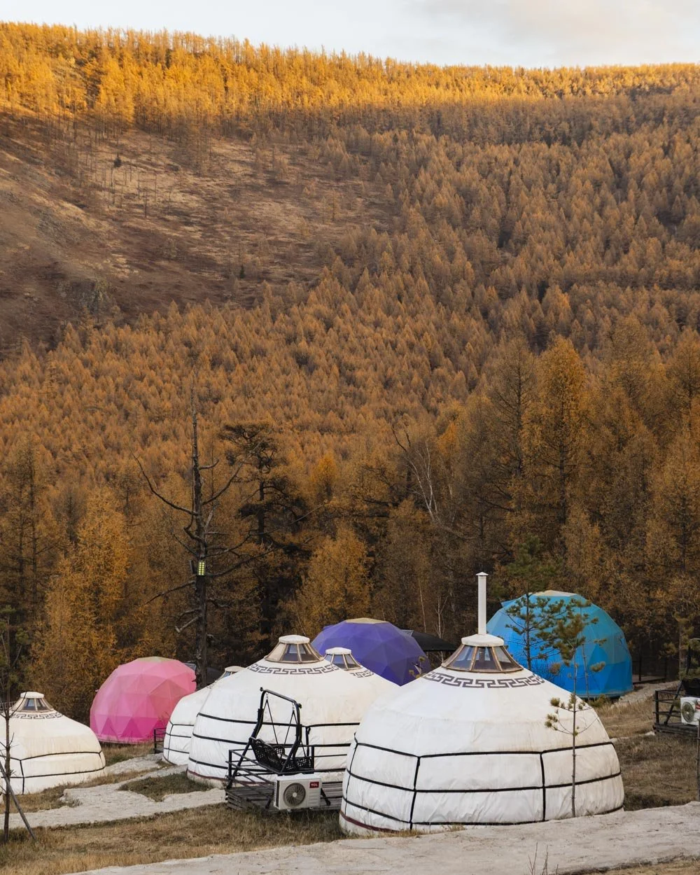
There are several of these steeper sections on the final kilometre of the walk, but also some gentler stretches inbetween. You’ll emerge from the forest, passing some gers, just before you reach the road.
Although you’ve taken a completely different track on the way down, you come out very close to where you started, so it’s easy to catch the bus or grab a taxi.
We expected to wait ages for a ride but someone accepted our fare instantly and actually beat us to the pick up point we’d selected which was a big surprise!
All in all, this was a lovely walk and such an easy escape from the city. It won’t be for you if you’re all about big views, but if you love forests, it’s fab!
This post may contain affiliate links, meaning at no additional cost to you, that we will earn a small commission if you click through and decide to make a purchase. This helps towards the costs of running our website. Thanks for your support.
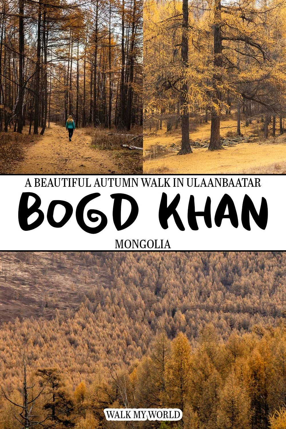





Everything you need to know about the Bogd Khan Mountain hike on the outskirts of Ulaanbaatar, including directions, difficulty, trail conditions and how to reach the trailhead.